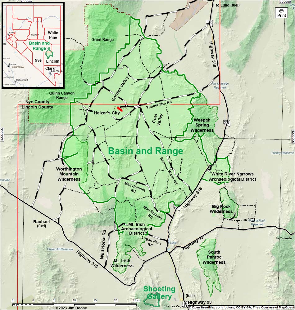
Note: Roads are black (solid = paved; dashed = unpaved). Map based on USGS 15 minute topo map. North is at the top. Grid is UTM NAD27 CONUS. National Monument (boundaries thick solid green, fill light green) based on BLM data. Wilderness Areas (boundaries thin solid green, fill light green) based on BLM data. National Forest areas (boundaries dashed brown, fill light green) based on USFS data. BLM areas (unmarked) based on BLM data. Download waypoint coordinates from route description page. Weepah Spring Wilderness and Big Rock Wilderness areas are outside the Monument.
Happy hiking! All distances, elevations, and other facts are approximate.
![]() ; Last updated 230622
; Last updated 230622
| Wide-Area Map | Basin and Range | Hiking Around Las Vegas | Glossary | Copyright, Conditions, Disclaimer | Home |