 |
| Home | Birding | Favorites |
Madera Canyon Area Map
Birding Around Las Vegas, Favorite Places Far Away |
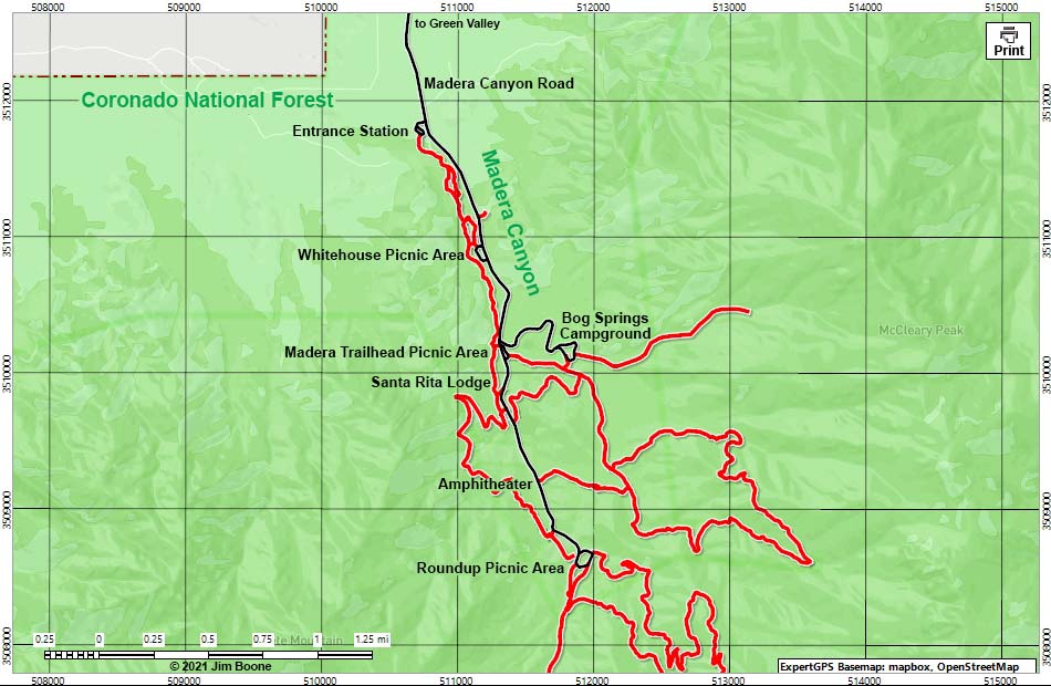 |
| Note: Map based on OpenStreet map, which may have red grid lines and various numbers. North is at the top. Grid is UTM NAD83 CONUS. Roads are black (solid = paved; dashed = unpaved; width implies quality). Washes, streams, and lakes are blue (solid = permanent; dashed = intermittent). National Forest areas (boundaries dashed brown, fill light green) based on USFS data. BLM areas (no color overlay) based on BLM data. Click inside blue rectangles to enlarge those sections of the map. |
Happy birding! All distances, elevations, and other facts are approximate.
 ; Last updated 210725 ; Last updated 210725 |
|