 |
| Home | Birding | Favorites | Portal Area Birding |
Chiricahua National Monument Birding Map
Birding Around Las Vegas, Favorite Places Far Away |
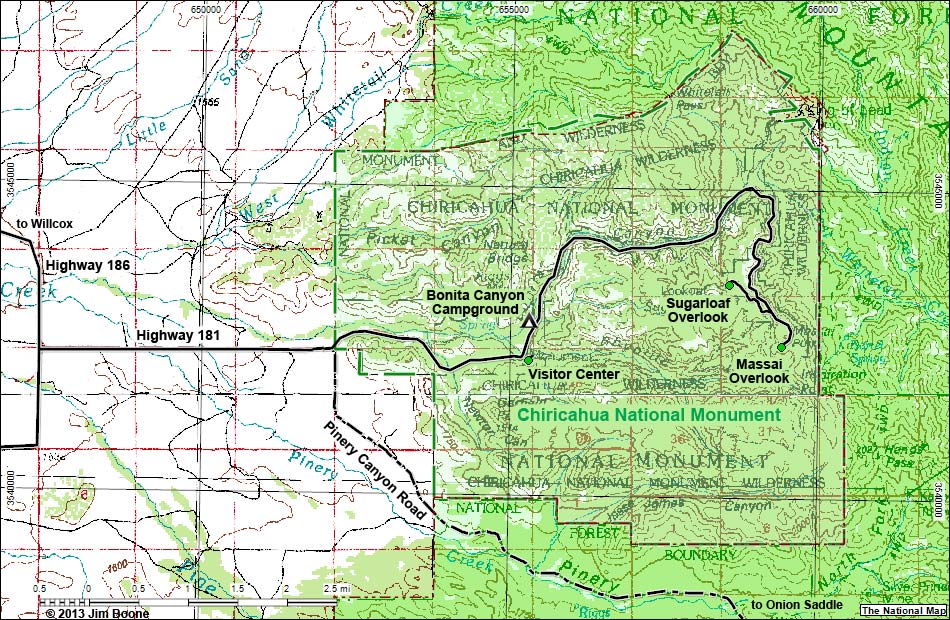 |
| Note: Roads are black (solid = paved; dashed = unpaved). Trails and routes are red (solid = main; dashed = adjacent or alternate). Map based on Open Street map. North is at the top. Grid is NAD83 Lat/Long. Wilderness Areas (boundaries solid green, fill dark green) based on BLM data. National Park Areas (boundaries dashed green, fill light green) based on NPS data. National Forest Areas (boundaries dashed brown, fill light green) based on USFS data. Download GPS data: GPX or KML. |
Note: All distances, elevations, and other facts are approximate.
 ; Last updated 130504 ; Last updated 130504 |
| tags: chiricahua mountains, chiricahua national monument, coronado national forest, chiricahua mountains wilderness area, willcox, pinery canyon road, map |
|