 |
| Home | Birding | Favorites | Portal Area | Area Map |
Birding Rustler Park Area Map
Birding Around Las Vegas, Favorite Places Far Away |
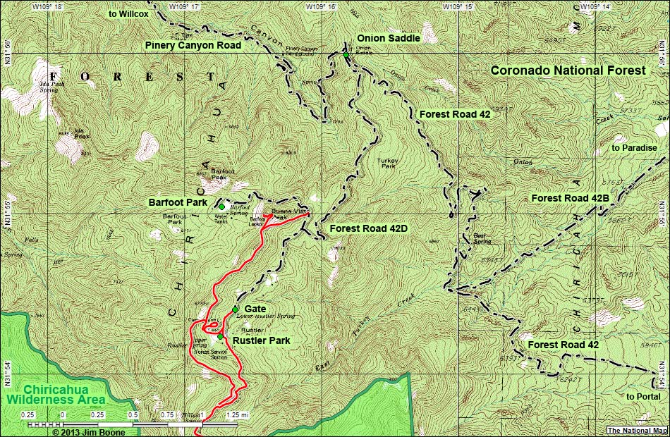 |
| Note: Roads are black (solid = paved; dashed = unpaved). Trails and routes are red (solid = main; dashed = adjacent or alternate). Map based on USGS 15 minute topo map. North is at the top. Grid is NAD83 Lat/Long. Wilderness Areas (boundaries solid green, fill dark green) based on BLM data. National Forest Areas (boundaries dashed brown, fill light green) based on USFS data. Download GPS data: GPX or KML. |
Note: All distances, elevations, and other facts are approximate.
 ; Last updated 130502 ; Last updated 130502 |
| tags: birdwatching, birds, portal, southeastern arizona, rustler park, barfoot park, onion saddle, pinery canyon road, cave creek, chiricahua wilderness area |
|