Birding Around Las Vegas, Outside the Las Vegas Valley
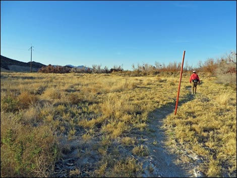
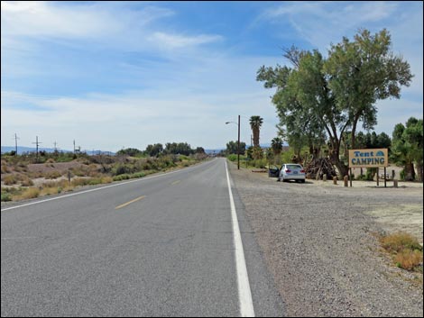
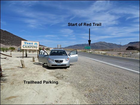 Trailhead parking by campground on north end of town (view NE) |
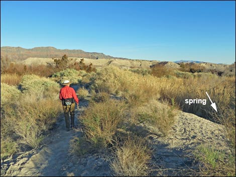
Description Shoshone is a small town with a bit of water and green amid a very arid piece of desert. This isn't a birding destination, but it is a nice place for traveling birders to stop for the night and do some evening and morning birding. There are five birding trails in town. The Red Trail starts at the north end of town, across the highway from the campground, and heads east over the old railroad bed and down a spring-fed stream. The trail makes a loop (0.65 miles) out around the head of the spring, and if the water is up, shoes might get wet when crossing the creek on the way back. Link to trail map. |
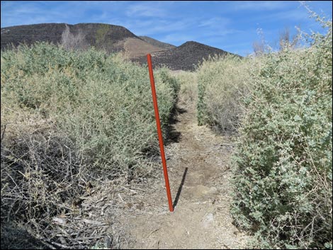
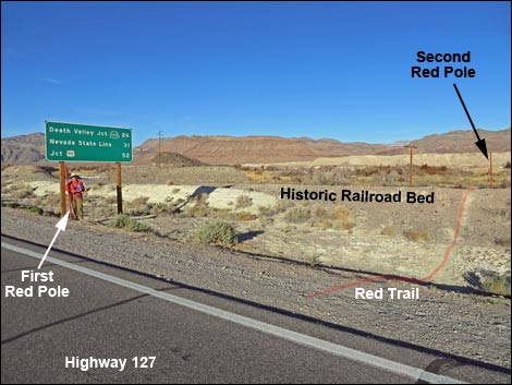 Red Trail starts near the highway sign (view NE) Red Trail starts near the highway sign (view NE) |
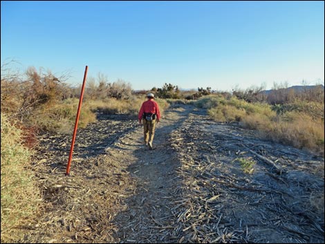
Watch Out Other than the standard warnings about hiking in the desert, ...this hike is pretty safe when the weather is cool. If the weather is hot, this area can be unbelievably hot, so bring some water. Parts of the trail are covered with chipped wood (local trees and shrubs), so it can be uneven, making sensible shoes a good idea. While hiking, please respect the land and the other people out there, and please try to Leave No Trace of your passage. This walk is so short that you don't need to bring the 10 Essentials. Getting to the Trailhead The Red Trail is located on the north end of town, across the highway from the campground and adjacent to a highway sign. Park on the west side of the road, outside the campground. |
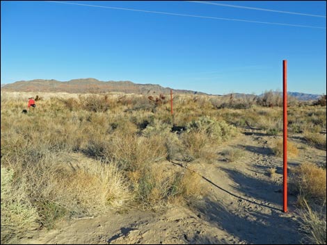
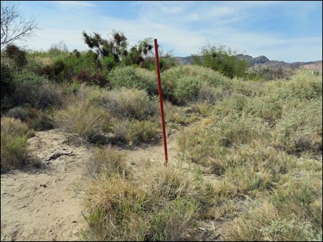
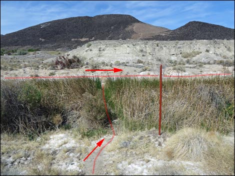
 Atop railroad grade, red trail markers lead into desert (view E) |
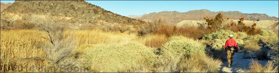
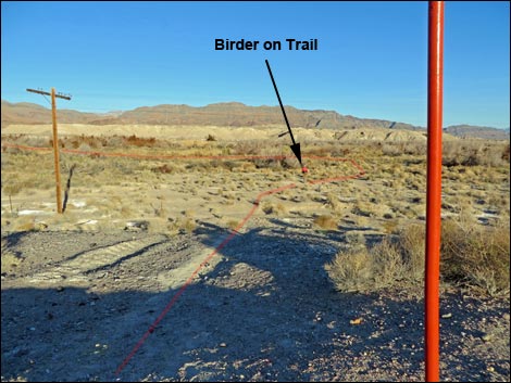
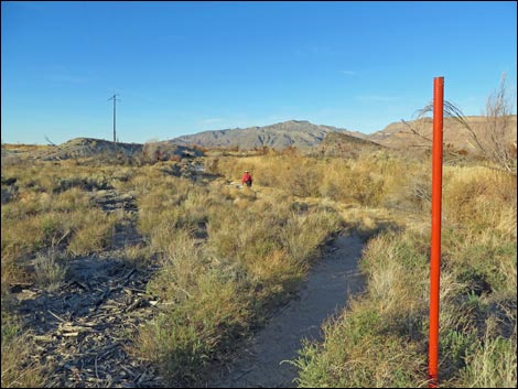
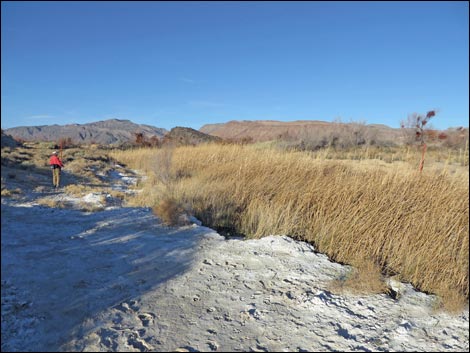
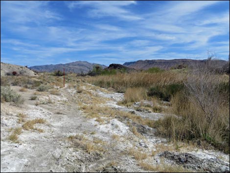
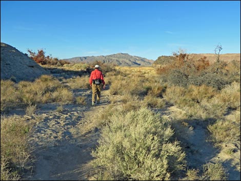
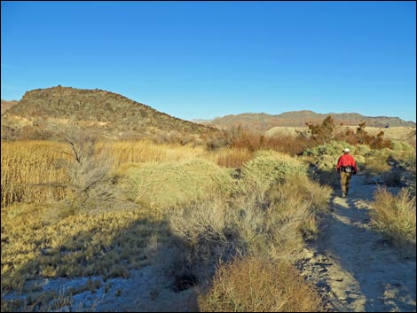
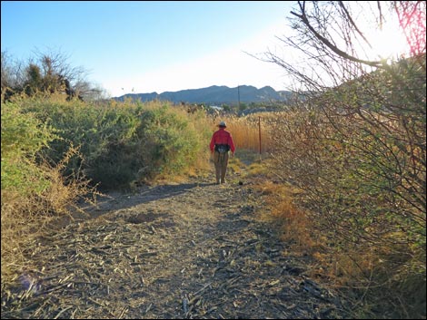
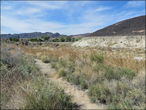
The Red Trail From the trailhead, the trail starts a few yards north across the highway. Starting north towards the highway sign, the trail departs the pavement (Table 1, Waypoint Red-01) and climbs onto the historic railroad grade. Atop the railroad grade, birders will notice the red pole: this is a trail marker. Looking east, birders can see several more red trail markers. Descending from the railroad grade, the trail runs west about 100 yards (Wpt. Red-02), then turns left and begins to run north. The trail runs north along the outflow stream from the spring. Hardly noticeable on the way north, the trail passes a junction (Wpt. Red-03) where the end of the loop rejoins the main trail. This is a good place to stop and look for Marsh Wrens and other wetlands birds. |
 Trail runs east (view E) ... |
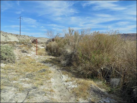
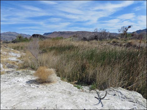
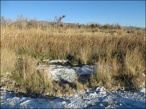
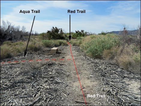
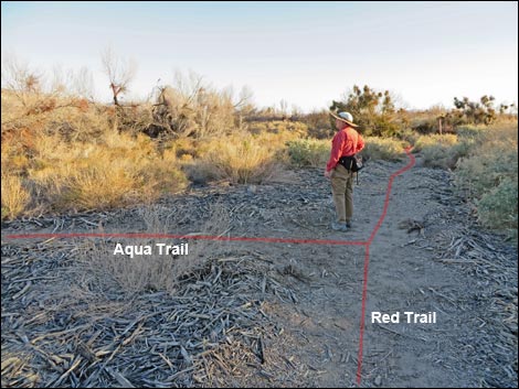
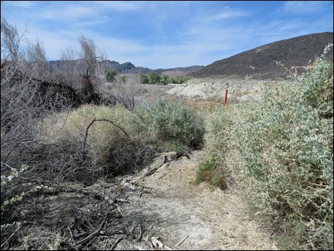
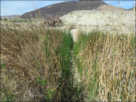
The trail continues north along the stream, eventually running along the edge of a saltgrass meadow. The trail curves right onto what looks like a dike (Wpt. Red-04) above the spring, then turns right again to run south along the other side of the stream. Continuing south, the trail passes another trail junction (Wpt. Red-05), this time with the Aqua Trail. The Aqua Trail turns left and heads east across the valley bottom before turning south to connect with the Blue Birding Trail. Continuing farther south, the Red Trail abruptly curves right again and plunges into the reeds and marsh grasses to cross the stream and reconnect with the main trail (Wpt. Red-03). Turning left, the trail runs back south, and then west, to the pavement and the end of the trail (Wpt. Red-01). |
 ... then curves north (view N) |
 Trail runs north (view N) |
 Trail along stream-side vegetation (view NE) |
 Trail runs along spring-fed stream (view N) |
 Trail runs along spring-fed stream (view N) |
 Vegetation supported by water in the shallow stream (view E) |
 Trail runs along spring-fed stream (view N) |
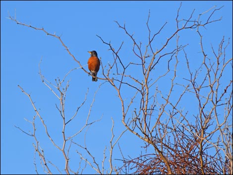 American Robin in winter mesquite tree |
 Trail runs on edge of saltgrass meadow (view N) |
 Birder on dike (view E) |
 Birder on dike (view E) |
 Trail runs south along east side of stream (view S) |
 Trail runs south along east side of stream (view S) |
 Aqua Trail junction (view S) |
 Birder at trail junction (view S) |
 Trail marker along trail (view SE) |
 Trail marker along trail (view W) |
 Deep saltbrush (view W) |
 Trail along stream (view SE) |
 Trail runs south along east side of stream (view S) |
 Trail plunges through stream-side vegetation (view W) |
 Trail through stream-side vegetation (view W) |
 Returning to the trailhead parking area (view S) |
 More to come ... |
Table 1. Hiking Coordinates and Distances based on GPS data (NAD27; UTM Zone 11S). Download Hiking GPS Waypoints (*.gpx) file.
| Wpt. | Location | UTM Easting | UTM Northing | Elevation (ft) | Point-to-Point Distance (mi) | Cumulative Distance (mi) | Verified |
|---|---|---|---|---|---|---|---|
| Red-02 | Trail Curves | 565912 | 3981839 | 1,602 | 0.06 | 0.06 | GPS |
| Red-03 | Trail Junction | 565938 | 3981938 | 1,602 | 0.07 | 0.12 | GPS |
| Red-04 | Top of Loop | 566029 | 3982139 | 1,615 | 0.16 | 0.28 | GPS |
| Red-05 | Junction with Green Trail | 566027 | 3981999 | 1,608 | 0.11 | 0.39 | GPS |
| Red-03 | Trail Junction | 565938 | 3981938 | 1,602 | 0.08 | 0.47 | GPS |
| Red-02 | Trail Curves | 565912 | 3981839 | 1,602 | 0.12 | 0.59 | GPS |
| Red-01 | Red Trailhead | 565828 | 3981859 | 1,612 | 0.06 | 0.65 | GPS |
Happy birding! All distances, elevations, and other facts are approximate.
![]() ; Last updated 240323
; Last updated 240323
| Birding Around Las Vegas | Southern Nevada Birds | Guide Service | Copyright, Conditions, Disclaimer | Home |