Birding Around Las Vegas, Outside the Las Vegas Valley
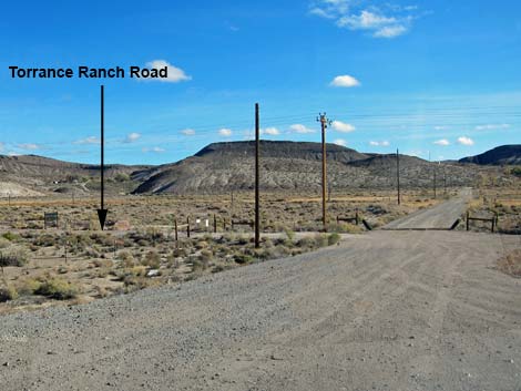
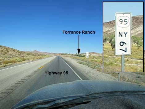 Highway 95 at Mile Marker Nye 67 (view N towards Torrance Ranch) |
Location Link to roads map. Torrance Ranch is located on Highway 95, about 120 miles northeast of Las Vegas, just north of Beatty, Nevada. From Las Vegas, drive north on Highway 95 for about 2 hours to Beatty (Table 1, Site 899). From the stoplight in downtown Beatty, drive north 7.2 miles to Oleo Road, on the right (note: online maps seem to have the names wrong, and street signs may be missing). Oleo Road is about 1.7 miles past the Hot Springs RV Park (which recently sold, so the name may change), and Oleo Road is the next road past Boiling Pot Road. It is also just past mile marker Nye 67. |
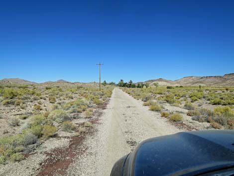
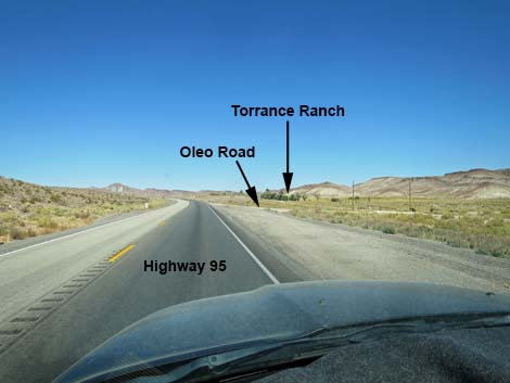 Highway 95 approaching Oleo Road (view N) |
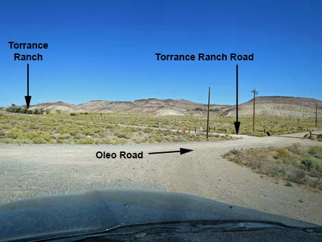
From Highway 95, turn right onto Oleo Road (dirt) and drive east for about 50 yards to Torrance Ranch Road, marked by a brown gate on the left (north) side of Oleo Road. A sign next to the gate reads "Torrance Ranch, a Wetland and Wildlife Preserve." Turn left onto Torrance Ranch Road, open the gate, drive in, and close the gate. Drive up the ranch road for about 0.25 miles to the parking area by the old homesite (Site 0627). When driving south on Highway 95 (e.g., driving south from Tonopah), Fleur De Lis Road is 0.9 miles north of Oleo Road, and the marsh and willow thickets are visible on the left (east) just before getting to Oleo Road. |
 Exiting Highway 95 onto Oleo Road (view NE) |
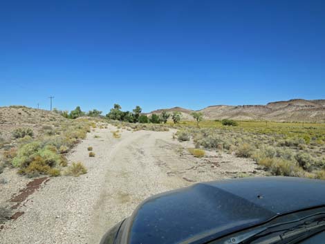
 Oleo Road (view E from near Hwy 95) |
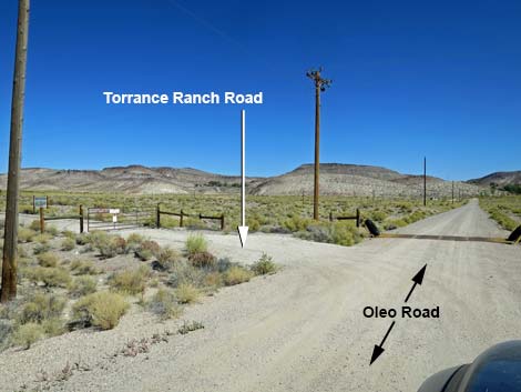 Oleo Road at Torrance Ranch Road (view NE) |
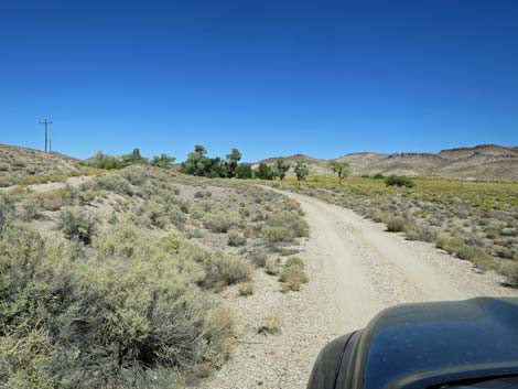
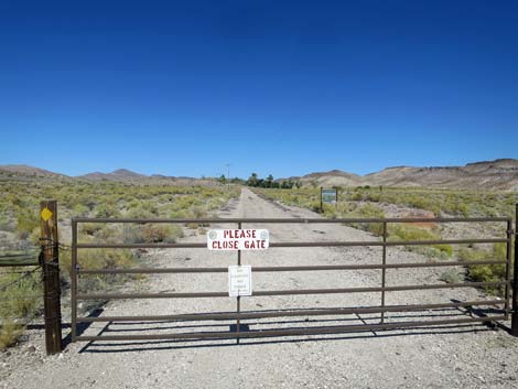 Gate and access road. The trees mark the parking area (view N) |
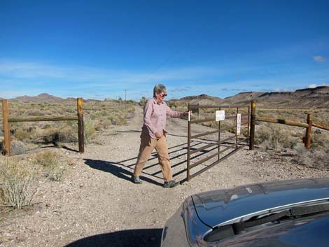 Open the gate, drive in, then close the gate behind you (view N) |
 In side the gate (view N) |
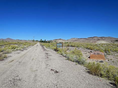
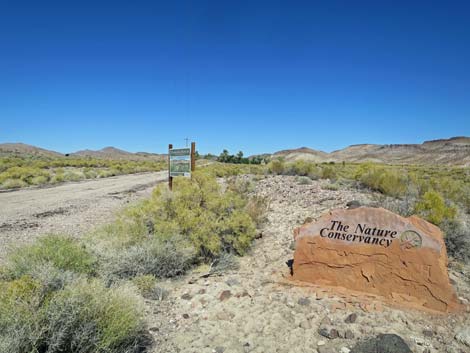 Torrance Ranch signs along the road (view N) |
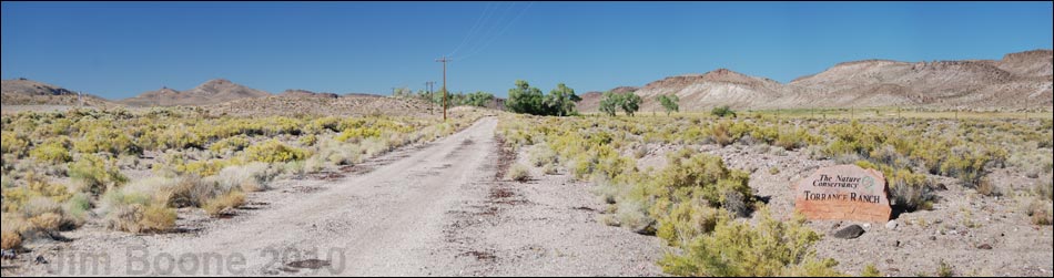
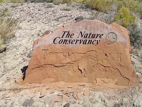 Torrance Ranch stone sign (view N) |
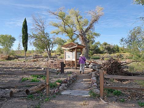
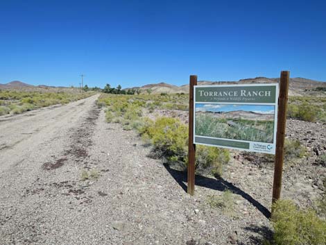 Torrance Ranch information sign (view N) |
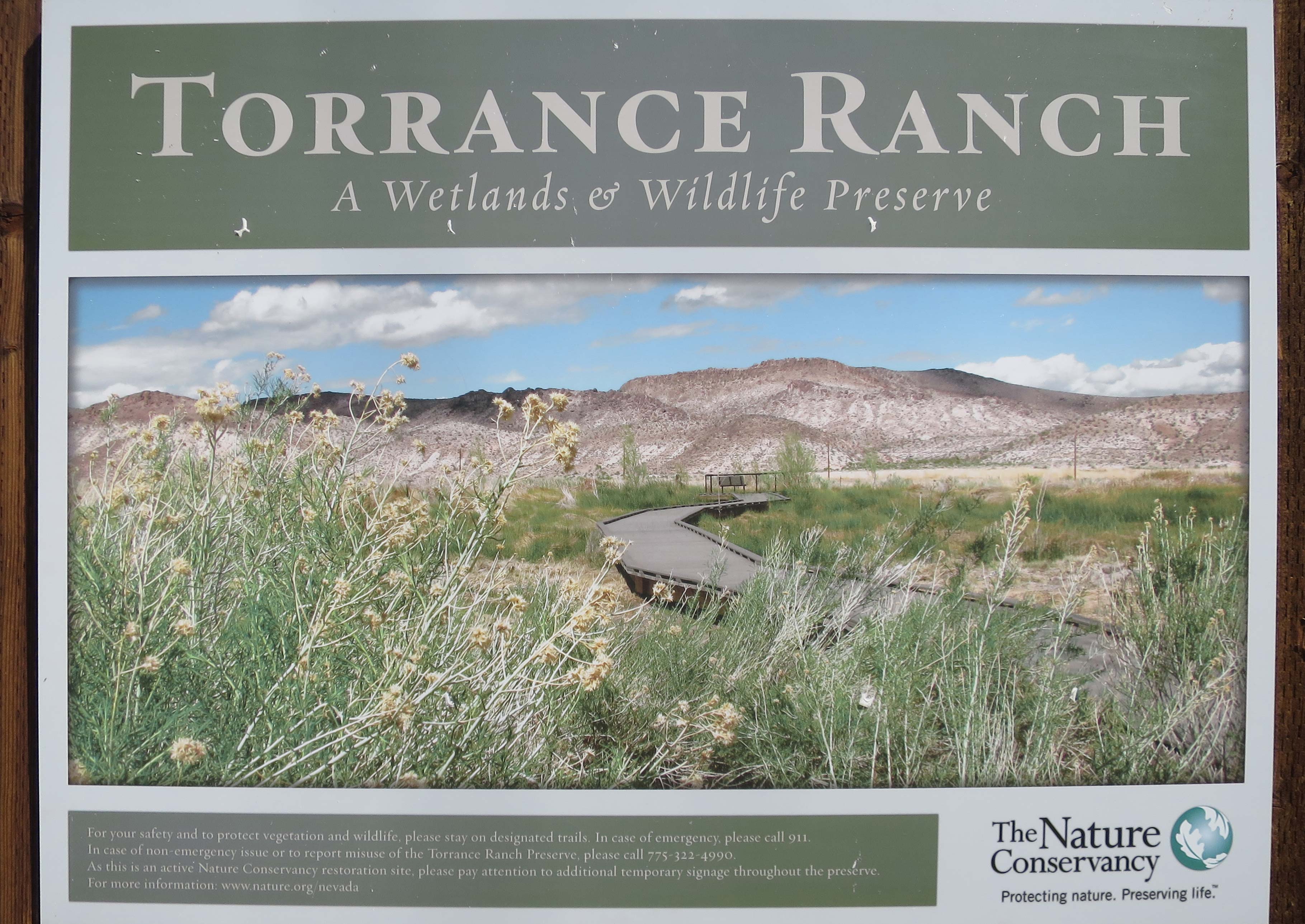 Torrance Ranch information sign (view N) |
 |
 |
 |
 |
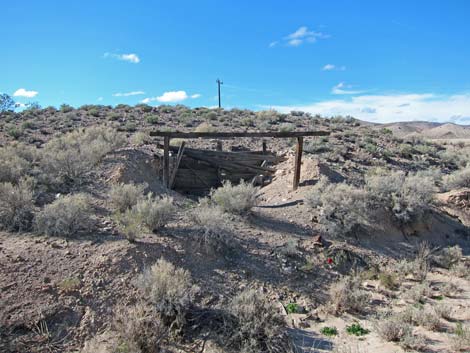 Note historic dug-out building on left (view W) |
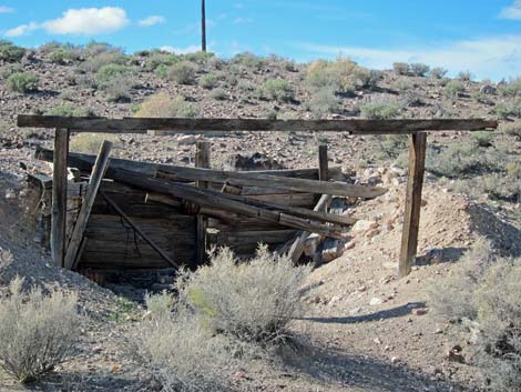 Not much left of the historic dug-out building (view W) |
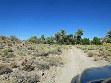
 Approaching the parking area (view N) |
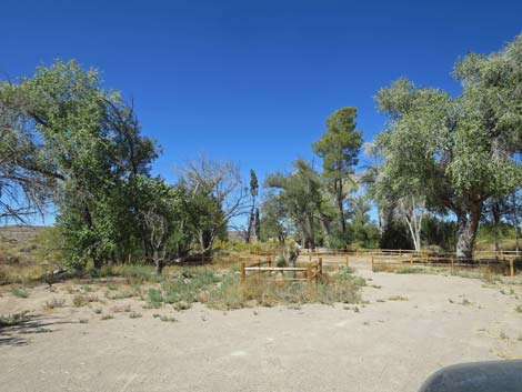 Parking area (view N) |
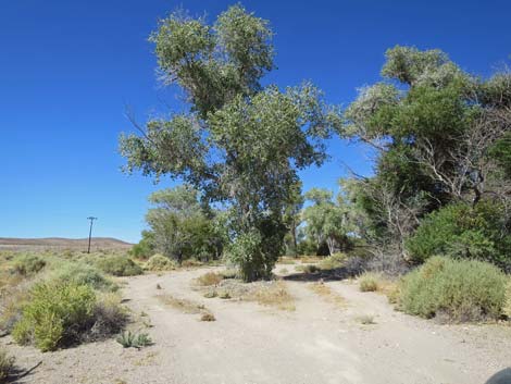
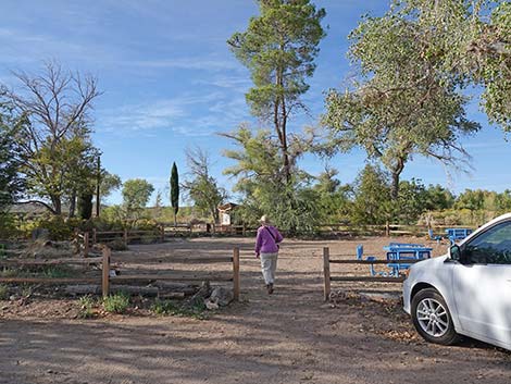 Entrance into the picnic area at the end of the road (view N) |
 Start of the hiking trail (view N) |
Table 1. Highway Coordinates Based on GPS Data (NAD27; UTM Zone 11S). Download Highway GPS Waypoints (*.gpx) file.
| Site | Location | Latitude (°N) | Longitude (°W) | UTM Easting | UTM Northing | Elevation (feet) | Verified |
|---|---|---|---|---|---|---|---|
| 0627 | Torrance Ranch | 37.0028 | 116.7233 | 524619 | 4095018 | 3,645 | Yes |
| 0899 | Beatty (downtown at the stop light) | 36.9086 | 116.7586 | 521506 | 4084555 | 3,310 | Yes |
Happy birding! All distances, elevations, and other facts are approximate.
![]() ; Last updated 240323
; Last updated 240323
| Torrance | Birding Around Las Vegas | Southern Nevada Birds | Guide Service | Copyright, Conditions, Disclaimer | Home |