Birding Around Las Vegas, Lake Mead Area
Happy birding! All distances, elevations, and other facts are approximate.
![]() ; Last updated 221215
; Last updated 221215
| Searchlight City Park | Birding Las Vegas | Copyright, Conditions, Disclaimer | Home |
| Home | Birding | Searchlight City Park | |||||
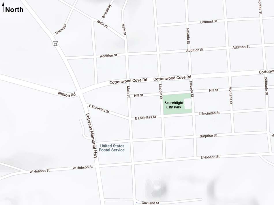
| Searchlight City Park Map Birding Around Las Vegas, Lake Mead Area |
|||||
|
|||||
| Note: Roads are black (solid = paved; dashed = unpaved). Trails and routes are red (solid = main; dashed = adjacent or alternate). Map based on OpenStreetMap. North is at the top. Grid is UTM NAD27 CONUS. | |||||
Happy birding! All distances, elevations, and other facts are approximate. |
|||||
|
| Google Ads |