Rock Art Around Las Vegas
Rock art is a precious resource. Please help protect and preserve these sites.
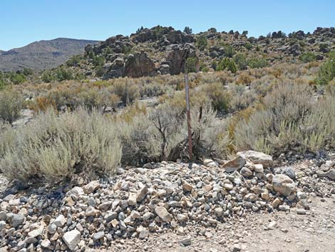
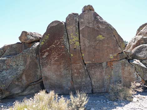
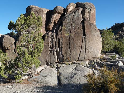
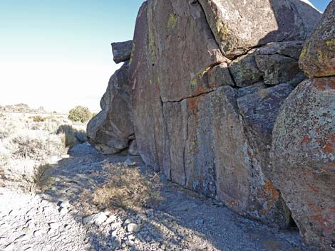
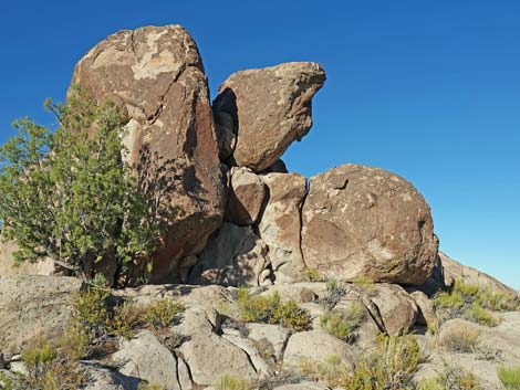
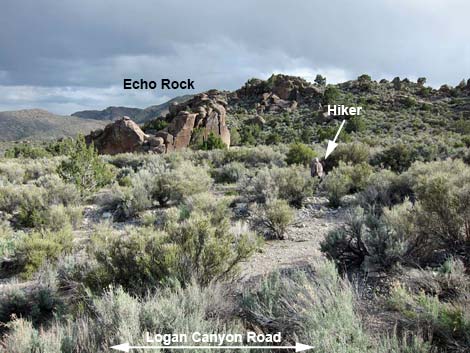 Echo Rock (view S from Logan Canyon Road) |
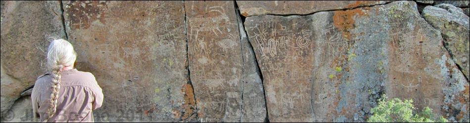
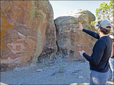
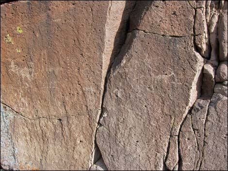
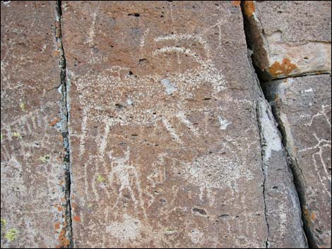
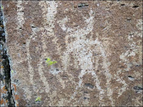
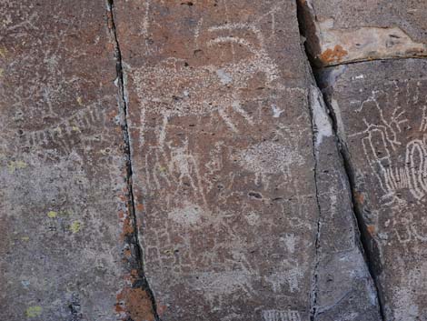
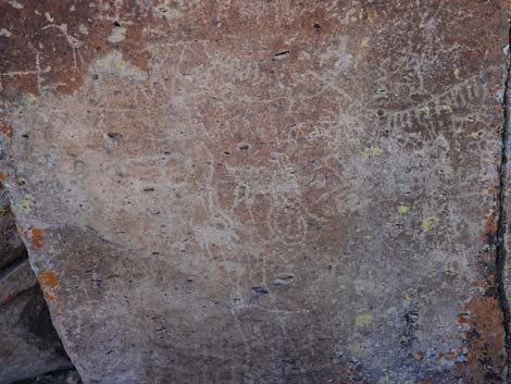
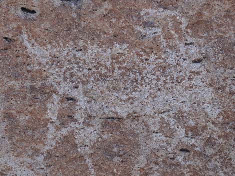
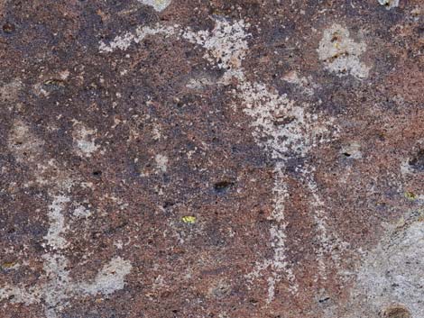
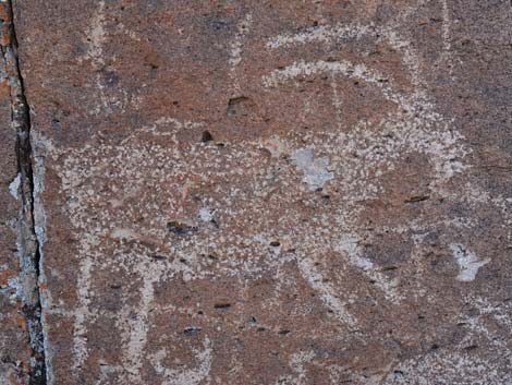
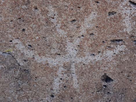
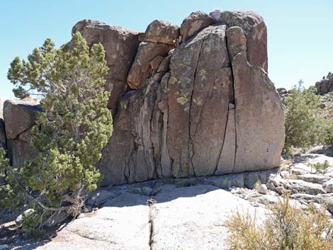
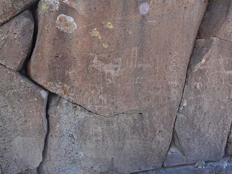
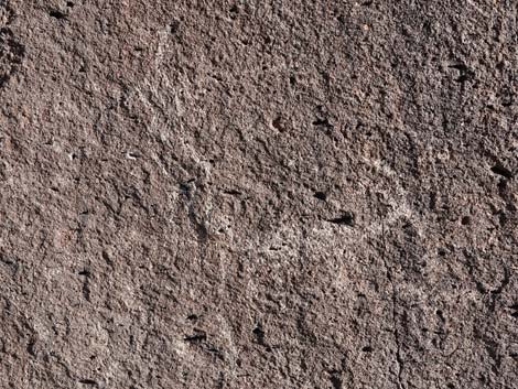
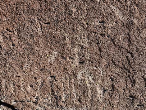
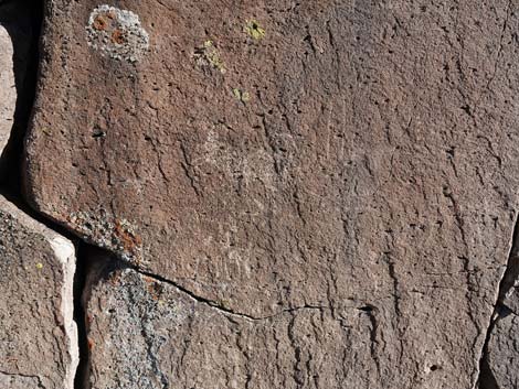
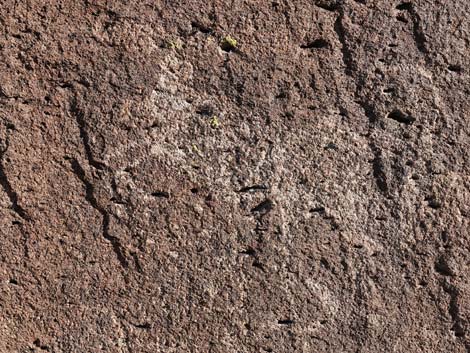
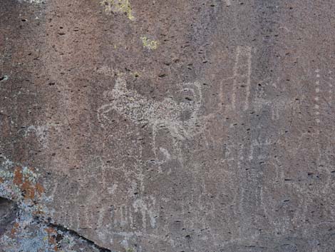
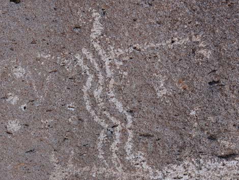
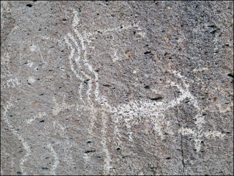
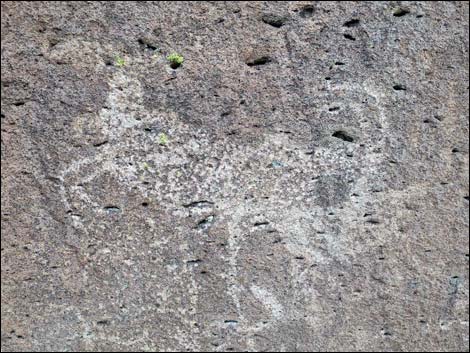
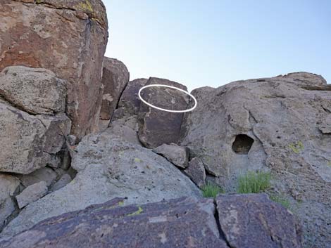
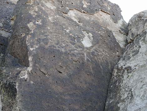
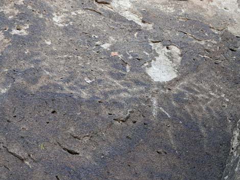
Overview The Mt. Irish Archeological District is a large area with many boulder piles and low bands of cliffs covered with petroglyphs. Echo Rock is one site in the district, and in fact, the flat faces do produce nice echoes. Native peoples etched a varied array of petroglyphs on the shady north side of the rock. While visiting this site, please take care of the area and leave it as you found it so that future generations can come and see it too. Notice that some idiot shot twice at the big bighorn petroglyph -- don't be that guy. |
 |
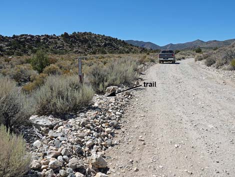
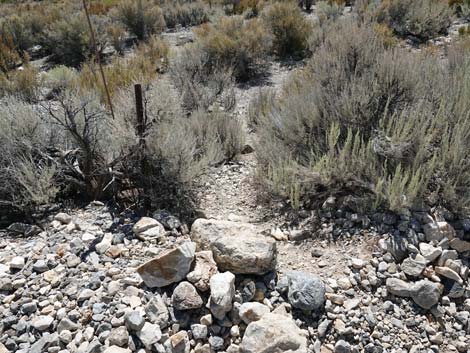
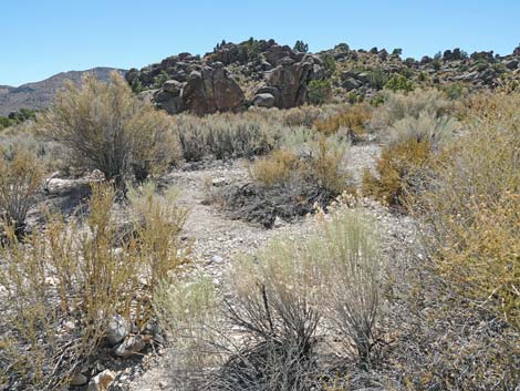
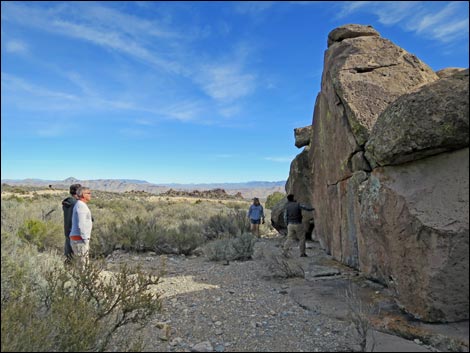
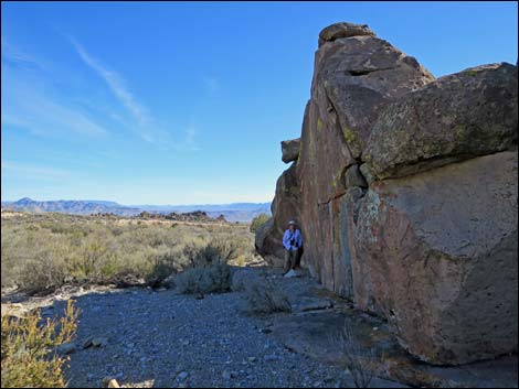
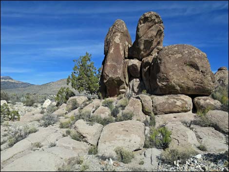
Location The Mt. Irish Archeological District is located in the Pahranagat Valley, about 110 miles north of Las Vegas. Details of the location, access routes, and GPS coordinates are presented on the Mt. Irish Archeological District page. The Hike From the wide spot (Table 1, Waypoint ER-01) on the edge of Logan Pass Road, a short walk across a wash (no trail) leads to Echo Rock (Wpt. ER-02). Echo Rock is one rock pile, but with east and west "halves." Most of the rock stories are written on the east half, and there is little, if anything, on the back side. |
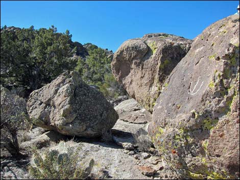
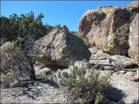
Hiking to Echo Rock
 |
 |
 |
 |
 |
 |
 |
 |
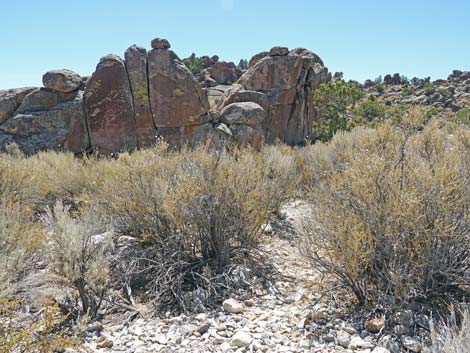
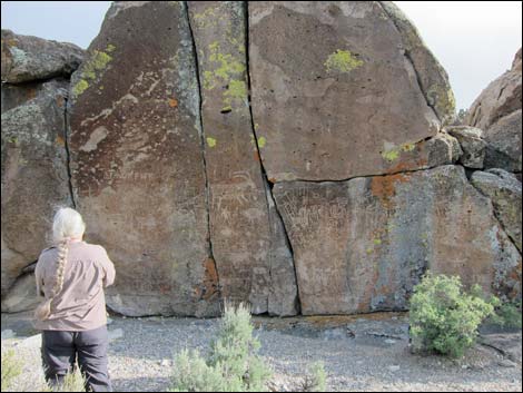
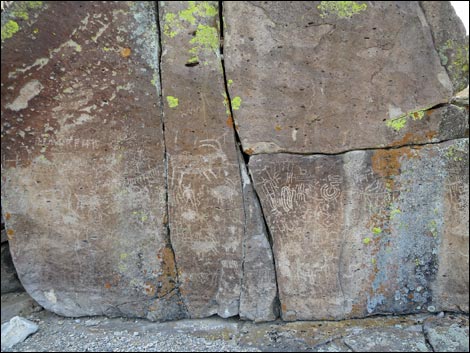
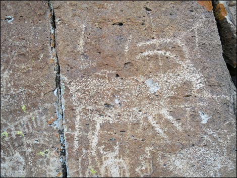
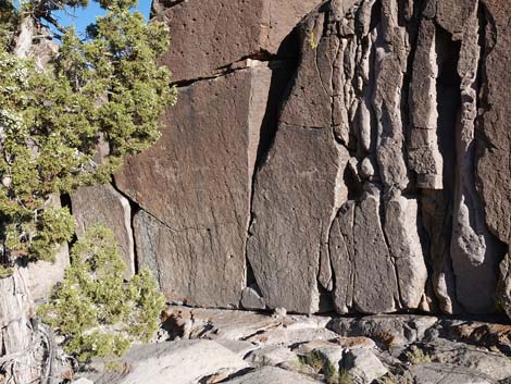
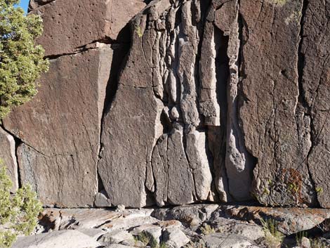
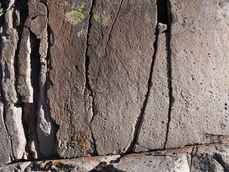
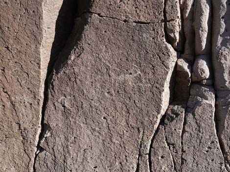
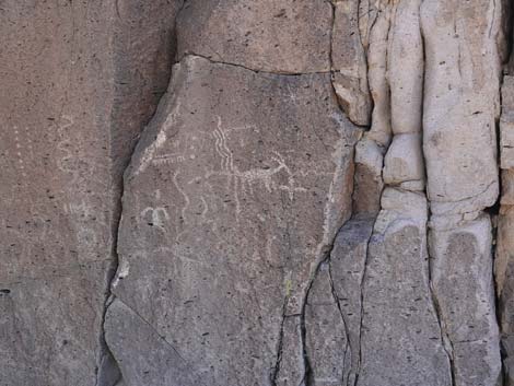
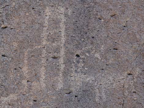
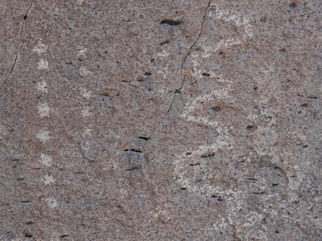
Echo Rock East Side
 |
 |
 |
 |
 |
 |
 |
 |
 |
 |
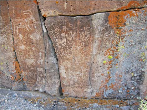
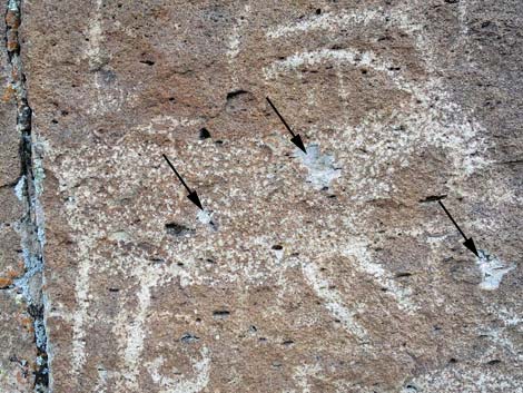 Bullet holes in petroglyph -- jerks! |
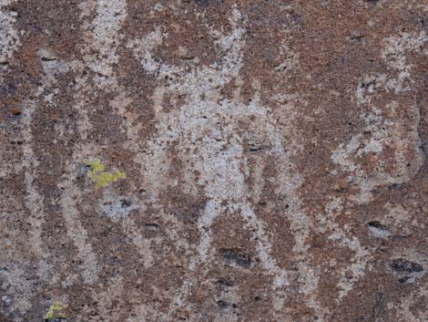
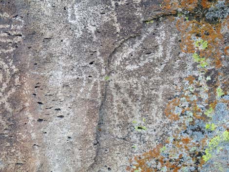 Petroglyphs with lichens |
 |
 |
 |
 |
 |
 |
 |
 |
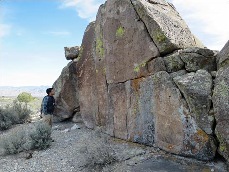
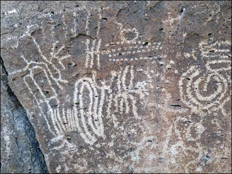
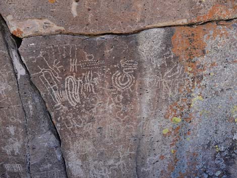
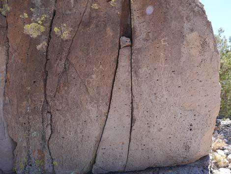
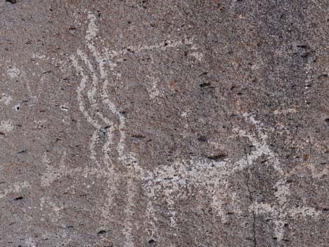
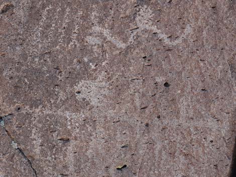
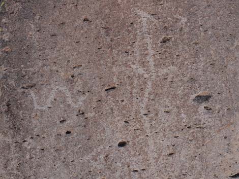
Echo Rock West Side
 |
 |
 |
 |
 |
 |
 |
 |
 |
 |
 |
 |
 |
 |
 |
 |
 |
 |
 |
 |
 |
 |
 |
 |
East End
 |
 |
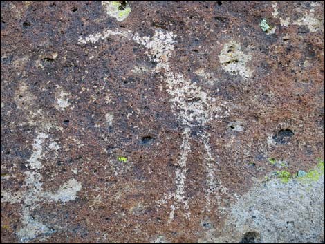
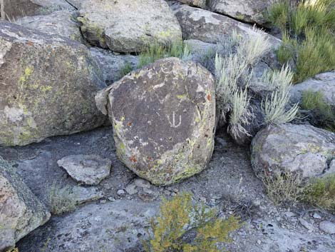
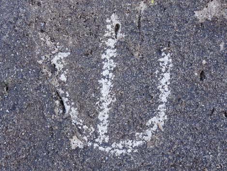
 Not quite sure what to make of this |
 Cowboy graffiti? |
 Cowboy graffiti? |
More to come ... |
Echo Rock Memories
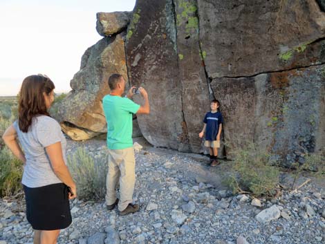
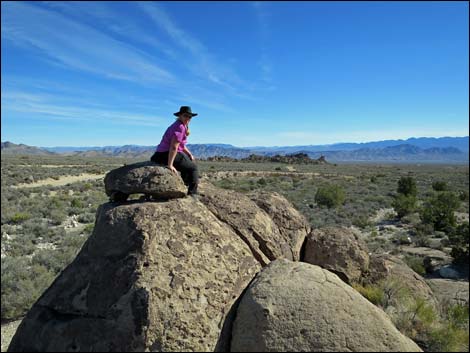 People at Echo Rock |
 Kids Speak for Park (Robbie Bond) visits Echo Rock |
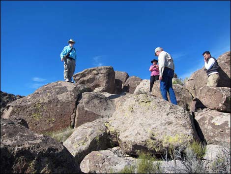 People at Echo Rock |
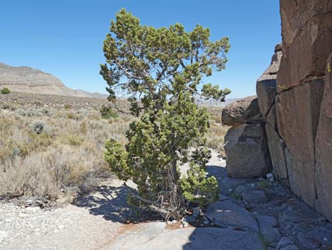
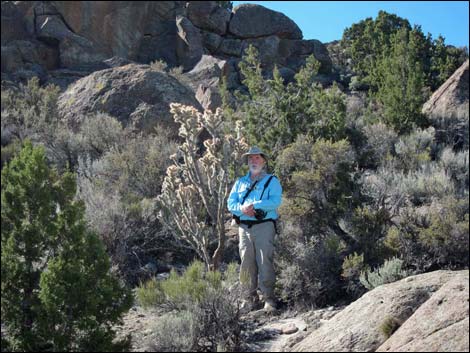 Silver Chollas grow huge near Echo Rock |
 Echo Rock |
 Echo Rock |
 Echo Rock |
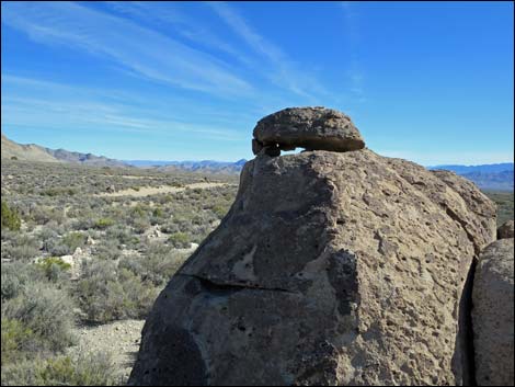
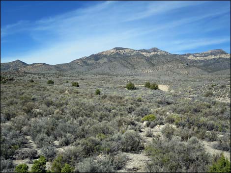 Mt. Irish (view NW from Echo Rock) |
 |
 |
 |
 |
Table 2. Hiking Coordinates based on GPS data (NAD27; UTM Zone 11S). Download Hiking GPS Waypoints (*.gpx) file.
| Wpt. | Location | UTM Easting | UTM Northing | Elevation (ft) | Point-to-Point Distance (mi) | Cumulative Distance (mi) | Verified |
|---|---|---|---|---|---|---|---|
| ER-01 | Echo Rock Trailhead | 646223 | 4163121 | 5,146 | 0.00 | 0.00 | GPS |
| ER-02 | Echo Rock | 646233 | 4163071 | 5,170 | 0.08 | 0.08 | GPS |
ER = Echo Rock
Happy Hiking! All distances, elevations, and other facts are approximate.
![]() ; Last updated 240323
; Last updated 240323
| Rock Art | Glossary | Copyright, Conditions, Disclaimer | Home |