Hiking Around Las Vegas, Basin and Range National Monument
 Michael Heizer's City |
Michael Heizer's City is a piece of Earth Art (aka Land Art) that is enormous, even on the scale of Earth Art, and is one of the largest sculptures ever created. City synthesizes the history of North America architecture, drawing inspiration from ancient monuments (e.g., Mississippian mounds, Mesoamerican ball courts, Pre-Columbian sites), minimalism, industrial technology, and modern structures. Heizer also has an interest in the ceremonial squares and associated civic monuments of cites (Wikipedia 3/2015). Created mostly from gravels harvested from the desert valley and concrete, City consists of mounds, berms, terraces, and ramps, plus a few structures that most of us would recognize as based on traditional outdoor artwork. Much of City is constructed below ground level (or at least below berm level), which for an artist who works with "negative space," is no surprise, where Negative Space is about what is not there, not what is there. Being below ground level, however, leaves little of City visible from the outside, but when inside, the surrounding mountains make a stark contrast with the artwork and frame it nicely. |
 Michael Heizer's City is closed to the public |
Getting to City City is located in the west-central part of Basin and Range National Monument, about 4 hours (156 miles) northeast of Las Vegas driving directly, or about 2-1/4 minutes (49 miles) northwest of the intersection of Highway 93 and Highway 318. From Las Vegas, drive north on Interstate-15 21 miles to Highway 93. Turn left onto Great Basin Highway (Hwy 93) and top off the gas tank if necessary. Drive north past the towns of Alamo (95 miles from Las Vegas) and Ash Springs (102 miles) to the intersection of Highway 93 and Highway 318 (107 miles). Gasoline is available in Alamo, Ash Springs, Rachael, and Lund. Turn left onto Highway 318 and drive west then north on Highway 318 for 17.4 miles to Seaman Wash Road on the left. The intersection is marked by a stop sign with a solar powered flashing red light, but no road signs. |
 Michael Heizer's ranch and City |
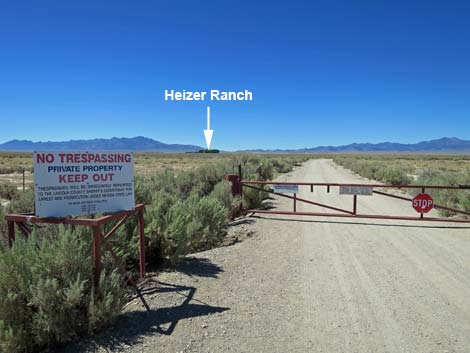
Turn left onto Seaman Wash Road, pass the new National Monument sign, and drive northwest through Coal Valley and Water Gap for 26.6 miles to Cherry Creek Road. Continue straight on Cherry Creek Road for 2.2 miles to Heizer Ranch Road. Turn left onto Heizer Ranch Road and follow it road south then west to a heavy metal gate. Stop here; the land beyond the gate is private and not open to the public. City is on Private Property Until recently, City was not open to the public, and it always seemed that it would open "next year," but then next year is always next year, not this year. Now, however, City is open to the public on guided tours. Tours are extremely limited. Reservations for the 2025 season will open January 2, 2025 through the Triple Aught Foundation website. City is visible from a nice overlook referred to at Lover's Leap or from across Garden Valley on Garden Valley Road. These views will whet your appetite for the real thing. |
 |
 |
 |
 |
 |
 |
|
 |
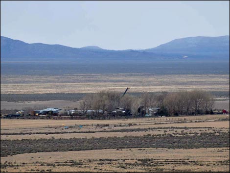
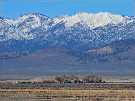
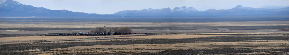
 Southeast end (view SW) |
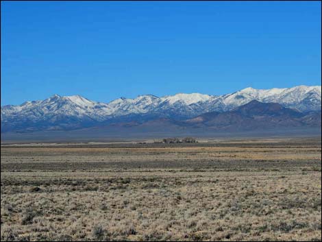
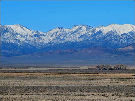
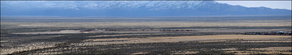
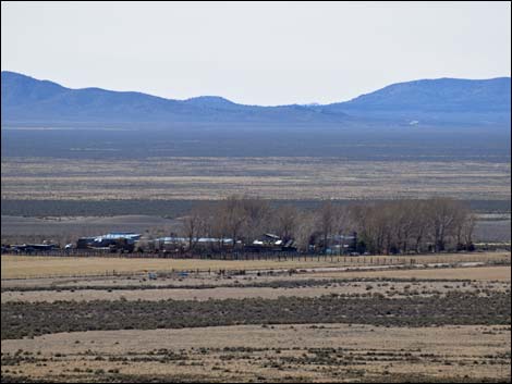 Middle-southeast; ranch house (view SW) |
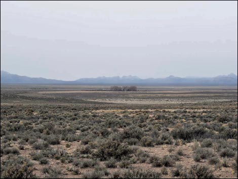
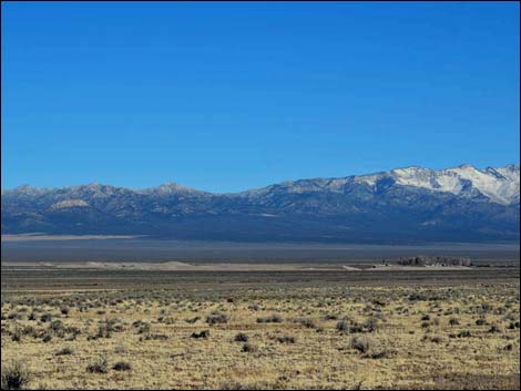
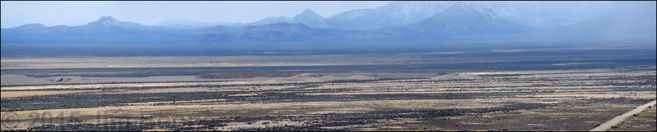
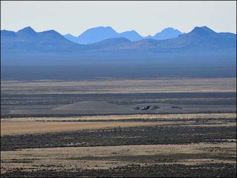 Middle (view SW) |
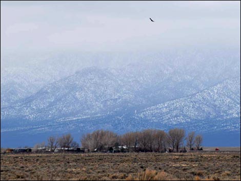
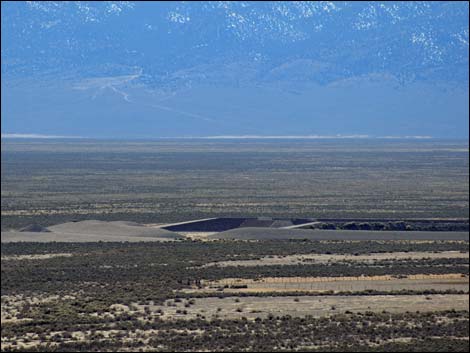
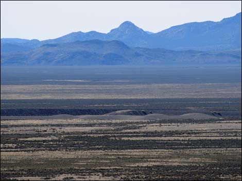 Northwest end (view SW) |
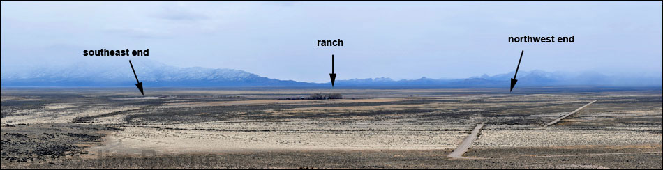
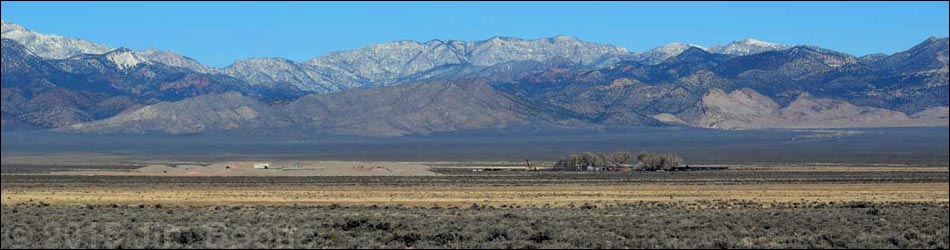
City -- full panorama
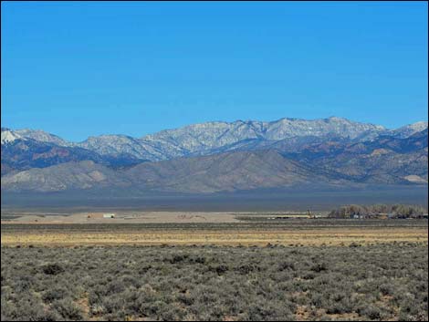
City -- southeast end
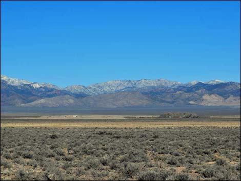
City -- middle section
City -- northwest end
Happy Hiking! All distances, elevations, and other facts are approximate.
![]() ; Last updated 240323
; Last updated 240323
| Basin and Range | Backroads | Hiking Around Las Vegas | Glossary | Copyright, Conditions, Disclaimer | Home |