Basin and Range National Monument, Backroads Around Las Vegas
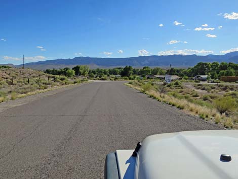
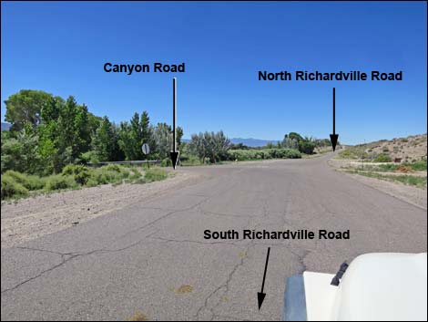
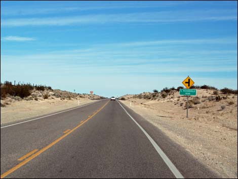 Highway 93 approaching South Richardville Road (view N) |
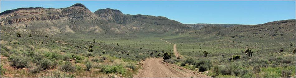
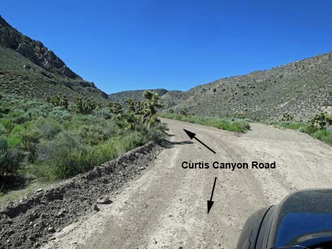
Overview Curtis Canyon Road (southbound) is a 16-mile dirt road that starts from US Highway 93 in the town of Alamo and heads west into the East Pahranagat Range before turning south and climbing over the range into Badger Valley. In the south end of Badger Valley, Curtis Canyon Road merges into Badger Valley Road. The road runs through grand, open Mojave Desert Scrub vegetation full of Joshua trees and blackbrush, but at the highpoint in the East Pahranagat Range, the road touches the lower edge of Pinyon-Juniper Woodland zone where pinyon pine and juniper offer some shade. The road normally is graded by Lincoln County because it provides free access for ranchers to publicly owned grazing lands. The road also provides access to vast public lands, the Shooting Gallery Unit of Basin and Range National Monument, and an alternative way to the Tikaboo Peak trailhead. Two sections of the road are very steep and should not be attempted in any vehicle when wet. Link to map. |
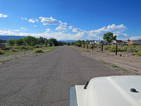
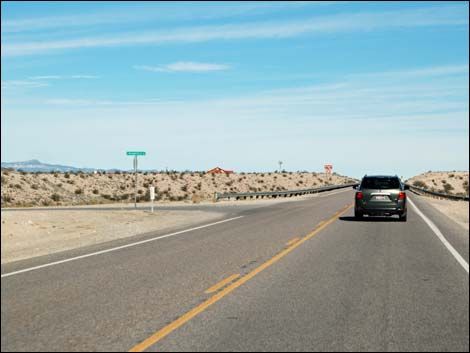 Highway 93 at South Richardville Road (view N) |
Watch Out Other than the standard warnings about driving in the desert, ...this road is pretty safe, but it is very steep in two places and should not be attempted in any vehicle when wet because it would be easy to slide in the mud and slip off the cliff. This area is remote. Be sure that your vehicle is in good working condition, carry plenty of water (radiator and drinking), and pack a lunch. Always drive carefully; even though the road is well maintained, there are occasional hazards such as errant boulders in the roadway. While out, please respect the land and the other people out there, and try to Leave No Trace of your passage. This road goes into remote areas, so be sure to bring the 10 Essentials. Cell phones should work where Alamo can be seen, but not in the Shooting Gallery, proper. |
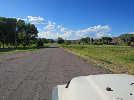
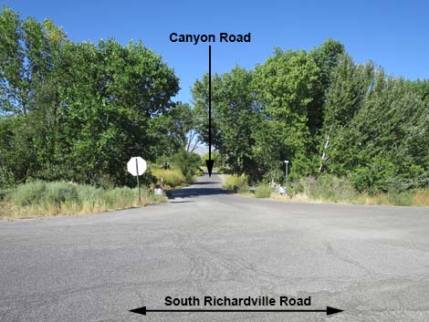
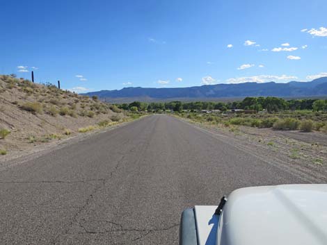 Richardville Road (view SW) |
Getting to the Road Curtis Canyon Road is located on the edge of the Pahranagat Valley about 110 miles north of Las Vegas on Highway 93. From town, drive north on Interstate 15 to US Highway 93. Exit onto Highway 93 and drive north to Alamo. From the Chevron Station and market in Alamo, continue north for 1.7 miles to South Richardville Road. Turn left and follow South Richardville Road as it bends right to head north to Canyon Road (Table 1, Site 1121). On Highway 93, If you miss South Richardville Road, continue north another 1.6 miles to North Richardville Road, turn left, and follow it back south to Canyon Road (Site 1121). |
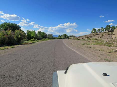
 Richardville Road approaching sharp curve right (view SW) |
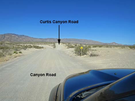
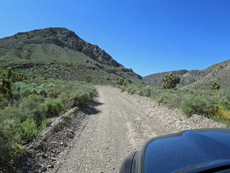
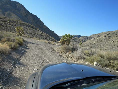
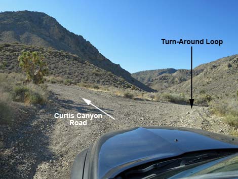
The Road From Richardville Road at Canyon Road (Site 1121), turn onto Canyon Road, which is paved, and drive west. The pavement ends in 0.4 miles; continue west onto the dirt, which is Curtis Canyon Road. In about 0.1 miles, stay right at a fork (Site 1122; the left goes to the town dump). Driving west on Curtis Canyon Road, continue "straight" towards the obvious canyon in the distance, passing all side roads along the way. In the canyon, the road eventually bends to the left and runs south to a fork (Site 1123). Stay left, and quickly left again, to climb a very steep hill. This hill is extremely steep and marginally 4WD due solely to the steep grade; stay away if the road is muddy. Atop the steep hill, the road winds up a shallow canyon, generally trending south. About 1 mile past the top of the hill, stay right at a fork (left to a telecom tower) and drive south across a broad mountain valley. |
 Richardville Road (view N) |
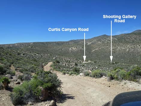
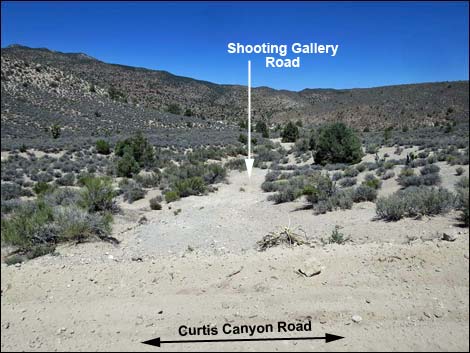
At the far end of the broad mountain valley, the road climbs another very steep hill as it cuts up and across a steep hillside. As on the first steep hill, the second hill is extremely steep and marginally 4WD due solely to the steep grade; stay away if the road is muddy. Atop the second steep hill, the road winds gradually down into another valley. About 250 yards past the crest of the ridgetop, Curtis Canyon Road reaches Shooting Gallery Road (Site 1124; 8.6 miles out), on the right. Curtis Canyon Road continues south, climbing steeply at times up the canyon. The road finally reaches a saddle, and from there the road is entirely gentle as it runs down into Badger Valley. At a T-intersection (Site 1829), Curtis Canyon Road turns left, then bends right to resume the southward journey. In the south end of Badger Valley, Curtis Canyon Road merges with Badger Valley Road (Site 1142), coming in from the right. Badger Valley Road provides access to many places, but following it southeast, then north, and finally east leads back to Highway 93. |
 Richardville Road (view N) |
 Richardville Road (view N) |
 South Richardville Road approaching Canyon Road (view N) |
 Canyon Road (view W from South Richardville Road) |
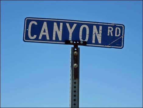 Sign at South Richardville Road -- Canyon Road intersection (view N) |
 Canyon Road runs west (view W) |
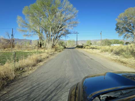
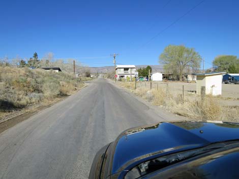 Canyon Road runs through town (view W) |
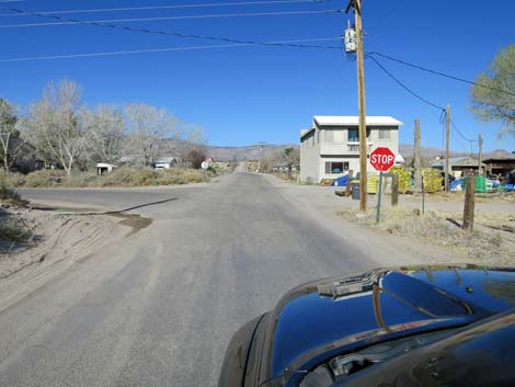 Canyon Road at stop sign: watch for kids and animals (view W) |
 Canyon Road continues through town (view W) |
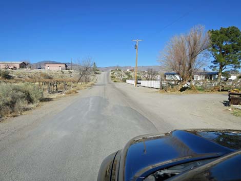
 Canyon Road approaching hill and end of the pavement (view W) |
 Past pavement, stay right at fork onto Curtis Canyon Road (view W) |
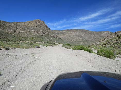
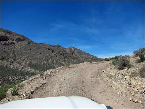
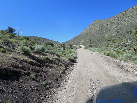
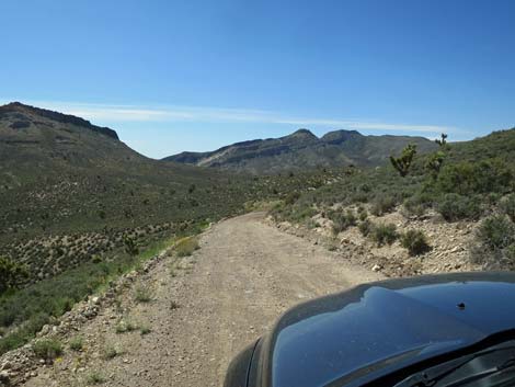
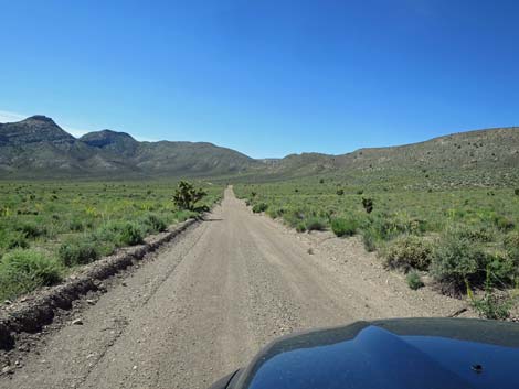
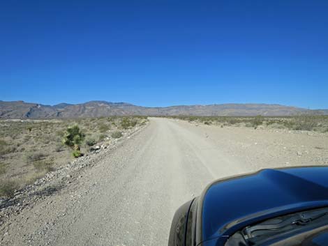 Curtis Canyon Road continues into the desert (view W) |
 Curtis Canyon Road beyond the edge of town (view W) |
 Curtis Canyon Road (view W) |
 Curtis Canyon Road stays right at fork (view SW) |
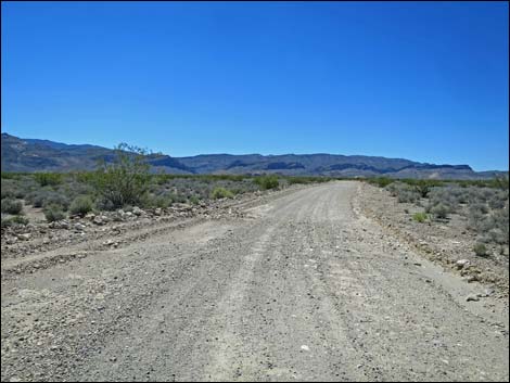
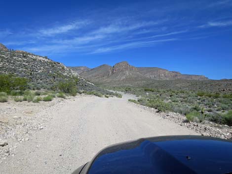
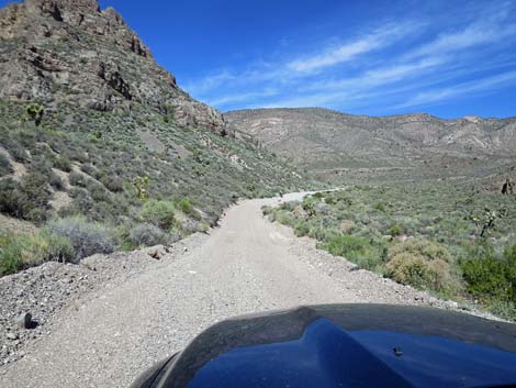
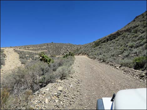
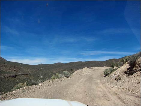
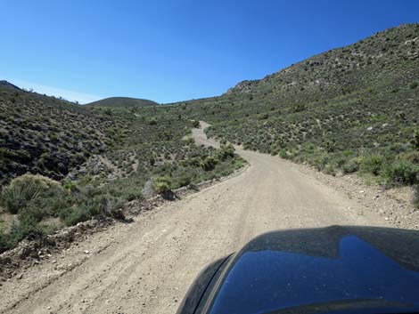
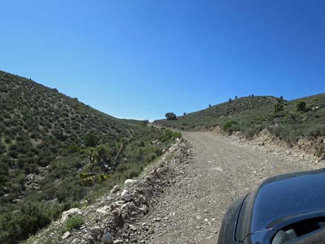
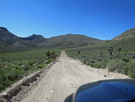
 Curtis Canyon Road continues towards the mountains (view W) |
 Curtis Canyon Road stays above the wash (view W) |
 Curtis Canyon Road stays above the wash (view W) |
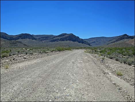
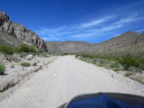
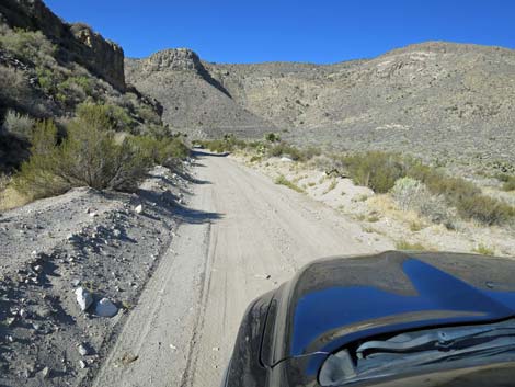
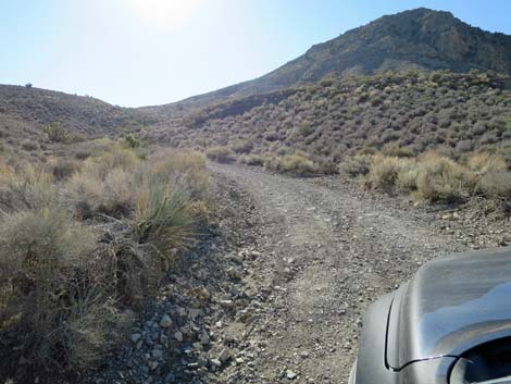
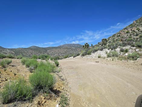
 Curtis Canyon Road entering the canyon (view W) |
 Curtis Canyon Road crossing the sandy wash (view W) |
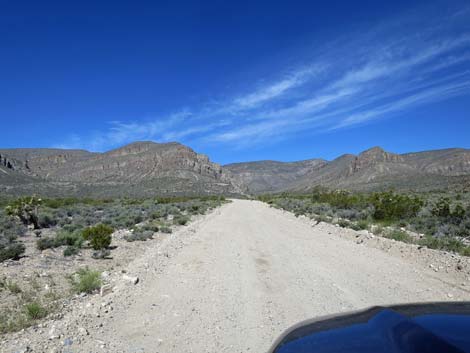
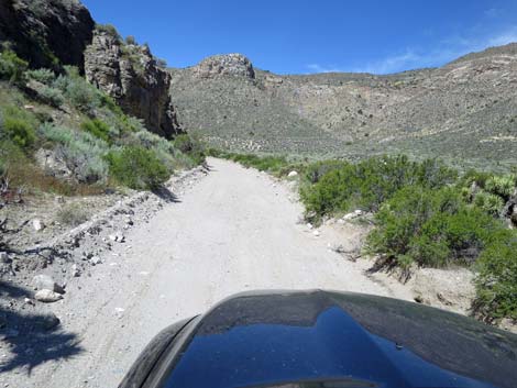
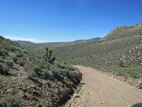
 Curtis Canyon Road heading into the canyons (view W) |
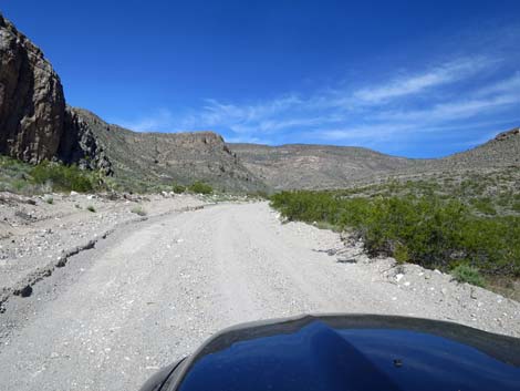
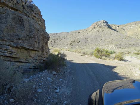
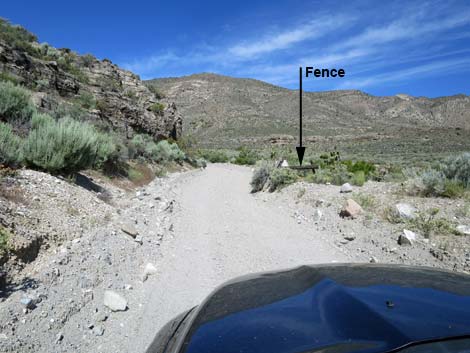 Curtis Canyon Road approaching an old fence line (view W) |
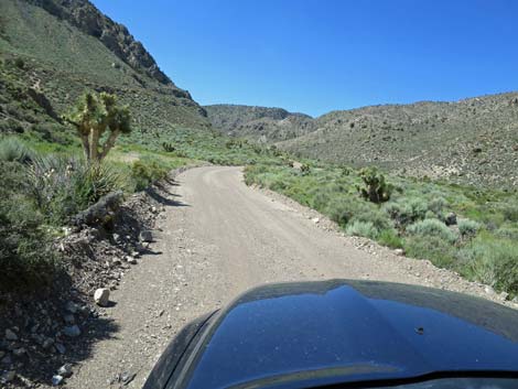
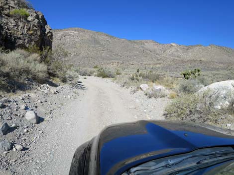 Curtis Canyon Road (view W) |
 Curtis Canyon Road (view W) |
 In this area, the road can be quite sandy (view SW) |
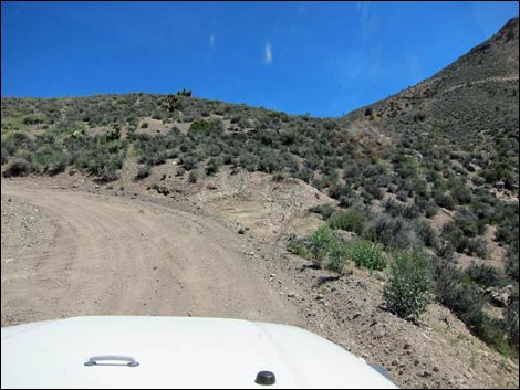
 Curtis Canyon Road bends left (view S) |
 Curtis Canyon Road turns into side canyon (view S) |
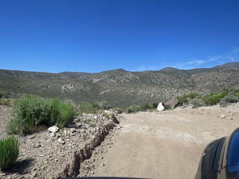
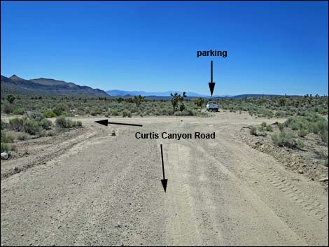
 Curtis Canyon Road forks at turn-around loop; stay left (view S) |
 Curtis Canyon Road continues on turn-around loop (view S) |
 Curtis Canyon Road approaching turn-around loop (view S) |
 Curtis Canyon Road forks at turn-around loop; stay left (view S) |
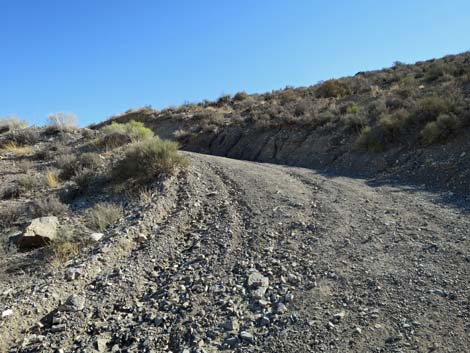
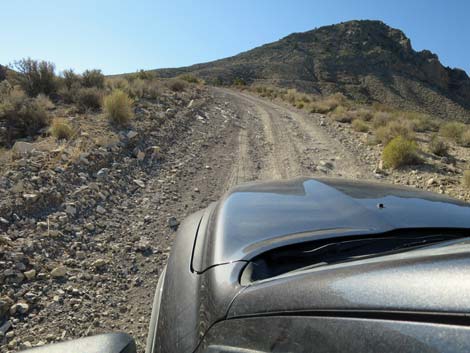
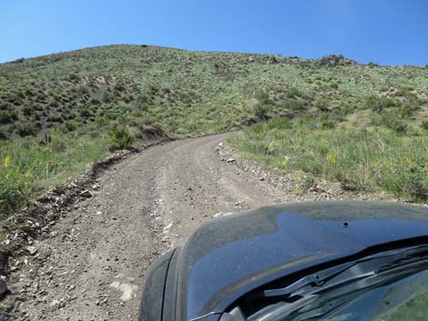
 Start of first steep hill (view SE) |
 First steep hill (view E) |
 First steep hill (view E) |
 First steep hill (view NE) |
 First steep hill (view N) |
 First steep hill (view E) |
 First steep hill (view NE) |
 First steep hill (view E) |
 First steep hill (view NE) |
 First steep hill (view NE) |
 First steep hill (view SE) |
 Easy grades for a bit (view SE) |
 Not-so-steep hill (view SE) |
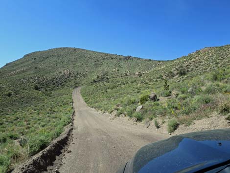
 Curtis Canyon Road (view S) |
 Curtis Canyon Road (view S) |
 Curtis Canyon Road (view S) |
 Curtis Canyon Road (view S) |
 Approaching the crest of a ridge (view S) |
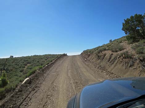 Approaching the crest of a ridge (view S) |
 Curtis Canyon Road cresting a ridge (view S) |
 Starting down the next steep hill (view S) |
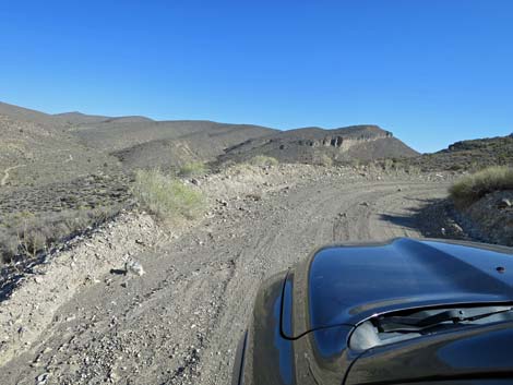
 Descending into a steep canyon (view SE) |
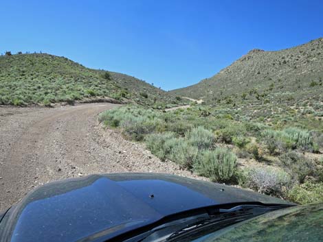
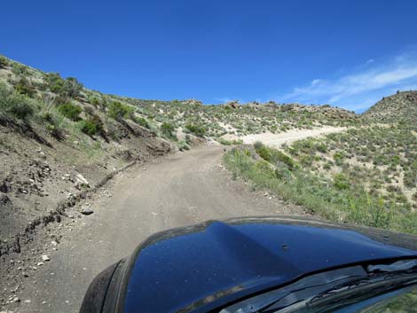
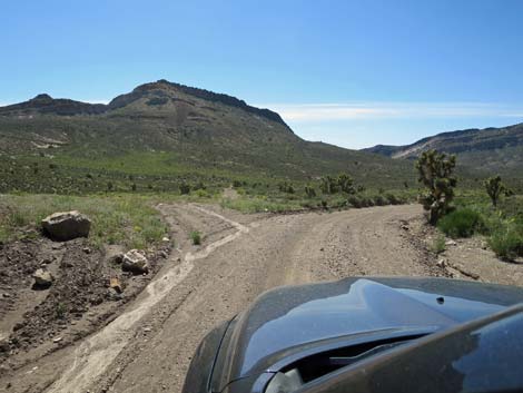 Road intersection at bottom of steep canyon; stay right (view SE) |
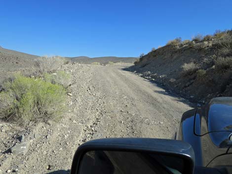
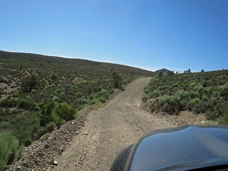
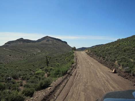
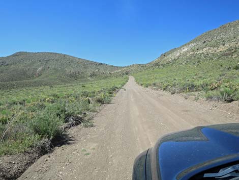
 Past first set of steep hills; starting across long valley (view S) |
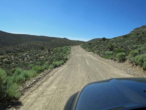
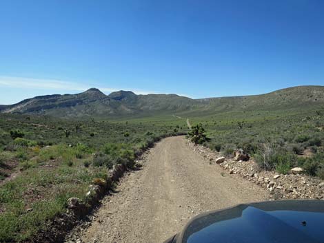
 Traversing the long valley (view S) |
 Middle of the long valley (view S) |
 Middle of the long valley (view S) |
 South end of the long valley (view S) |
 South end of long valley; approaching second steep hill (view S) |
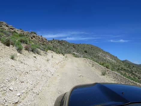
 Starting up the second steep hill (view SW) |
 Second steep hill (view SW) |
 Second steep hill (view W) |
 Curtis Canyon Road cresting cresting second steep hill (view W) |
 Saddle; crest second steep hill (view W) |
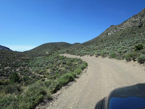
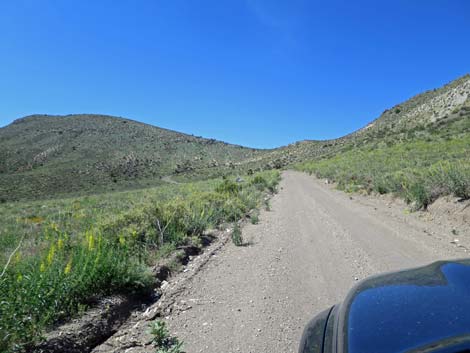
 Curtis Canyon Road descends at reasonable grades (view SW) |
 Curtis Canyon Road descending gentle terrain (view SW) |
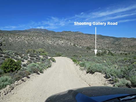
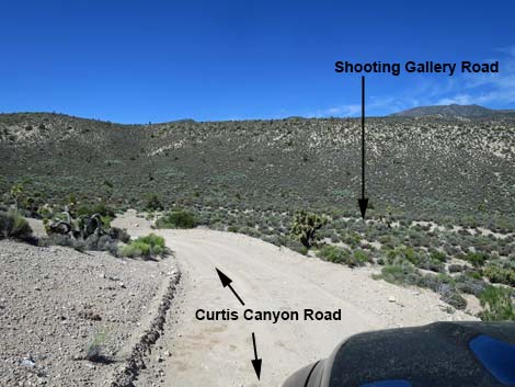 Curtis Canyon Road nearing Shooting Gallery Road (view SW) |
 Curtis Canyon Road approaching Shooting Gallery Road (view SW) |
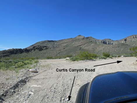
 Curtis Canyon Road at Shooting Gallery Road (view SW) |
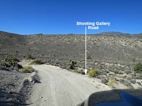
 First side of triangular-intersection onto Shooting Gallery Road (view W from Curtis Canyon Road) |
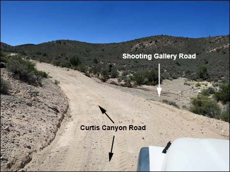 Second side of triangular-intersection onto Shooting Gallery Road (view SW from Curtis Canyon Road) |
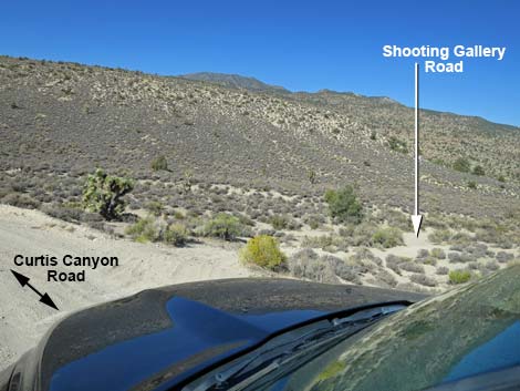
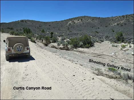 Second side of triangular-intersection (view S) |
 Curtis Canyon Road at T-intersection (view S) |
Table 1. Highway Coordinates based on GPS data (NAD27; UTM Zone 11S). Download Highway GPS Waypoints (*.gpx) file.
| Site | Location | UTM Easting | UTM Northing | Latitude (N) | Longitude (W) | Elevation (ft) |
|---|---|---|---|---|---|---|
| 1121 | Curtis Canyon Road at Richardville Road | 661675 | 4140078 | 37.39522 | 115.17357 | 3,504 |
| 1123 | Curtis Canyon Road at Fork | 652505 | 4139271 | 37.38950 | 115.27729 | 4,637 |
| 1124 | Curtis Canyon Road at Shooting Gallery Road | 653112 | 4135485 | 37.35529 | 115.27121 | 5,297 |
| 1142 | Curtis Canyon Road at Badger Valley Road | 655797 | 4125173 | 37.26194 | 115.24308 | 4,898 |
| 1829 | Curtis Canyon Road at Cut-over Road | 655041 | 4130883 | 37.31351 | 115.25041 | 5,361 |
Happy Hiking! All distances, elevations, and other facts are approximate.
![]() ; Last updated 240324
; Last updated 240324
| Basin and Range | Backroads | Rock Art | Glossary | Copyright, Conditions, Disclaimer | Home |