Hiking Around Las Vegas, Death Valley National Park
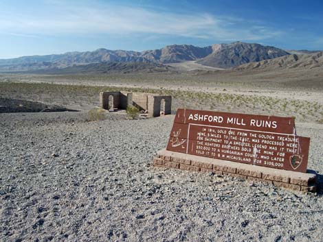
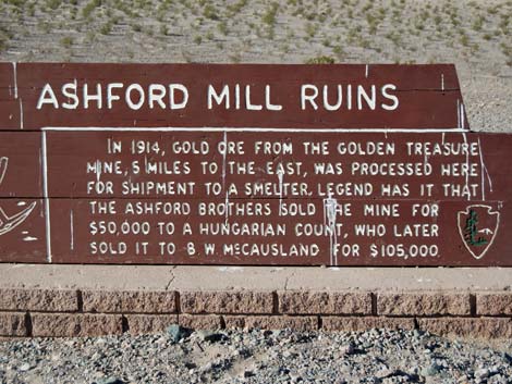 Ashford Mill Ruins sign |
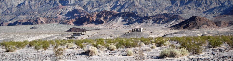
Overview Ashford Mill Ruins. In 1914, gold ore from the Golden Treasure [Ashford] Mine, 5 miles to the east, was processed here for shipment to a smelter. Legend has it that the Ashford brothers sold the mine for $50,000 to a Hungarian Count, who later sold it to W. McCausland for $105,000. Ashford Mill Ruins is a small historic site at the south end of Death Valley that served as a mill to process gold ore from the Ashford Mine. The mine operated, on and off, from about 1907 to 1941, and the mill was built in 1914. The ore quality was low, and the transportation cost were high, so the mine never made much money. For an essay about the mine and mill, see the Legends of America website (if the link doesn't work, try this). Link to map. |
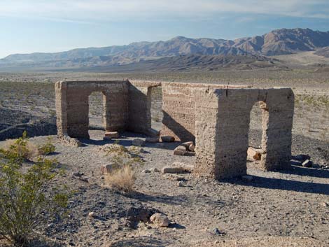
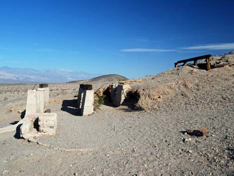
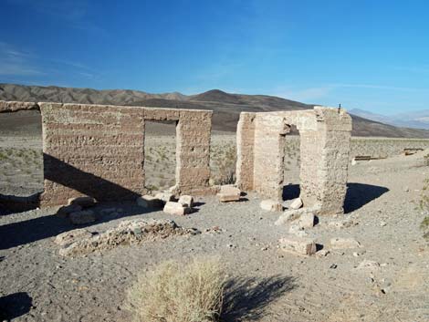 Walls of the concrete office building |
Watch Out Other than the standard warnings about hiking in the desert, ... this area is about as safe as it gets, but ensure that your spare tire is in good condition and bring plenty of water. While out, please respect the land and the other people out there, and try to Leave No Trace of your passage. Also, this is a short hike, so just bring what you need of the 10 Essentials. For those who wander beyond the immediate ruins area, the walk goes into the Death Valley Wilderness Area, so pay particular attention to respecting the land. |
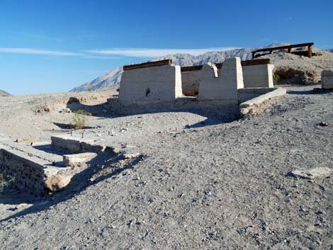 Concrete foundations of the mill |
Getting to Ashford Mill Ashford Mill is located along Badwater Road in the south end of Death Valley National Park, about 2 hours northwest of Las Vegas. From town, drive out to Death Valley. From the Furnace Creek Visitor Center (Table 1, Site 0712), drive south on Highway 190 for about 1.25 miles to the Badwater Road (Site 0741). Turn south (right) towards Badwater, and drive for about 43.6 miles to a side road to the right (Site 1430); watch for highway signs. Turn right and drive 0.2 miles to the end of the road (Site 1431) between the ruins and restrooms. Park here; this is the place. If coming from Shoshone, drive west on Hwy 178 to Badwater Road at Harry Wade Road (Site 0839). Continue north 2.0 miles to Ashford Mill Road (Site 1430) and turn left into the mill site (Site 1431). |
 Sign and office building |
 Crumbling office building |
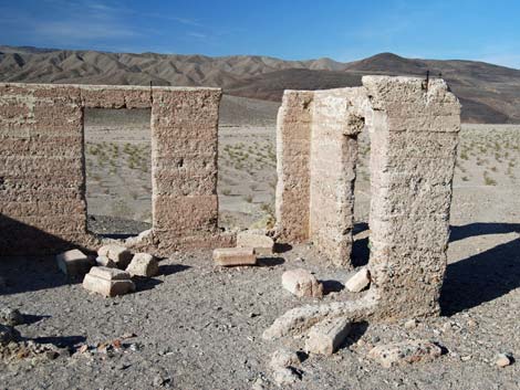 Crumbling office building |
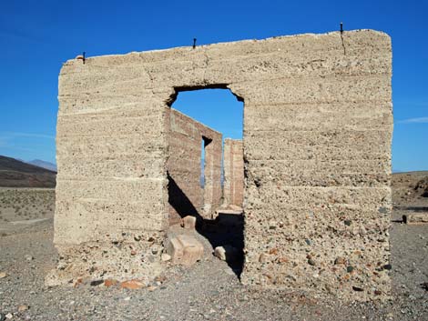 Crumbling office building |
 Concrete foundations of the mill |
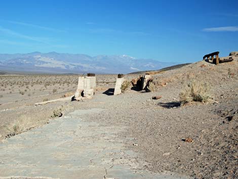 Concrete foundations of the mill |
 Concrete foundations of the mill |
 Concrete foundations of the mill |
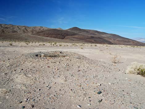 Old well |
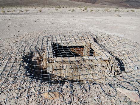 Wire mesh covering old well |
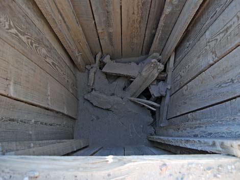 Inside old well (view straight down) |
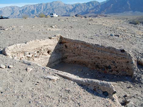 Perhaps a loading dock? |
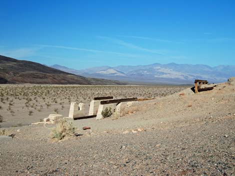
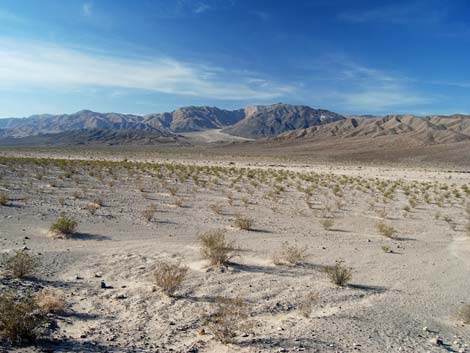
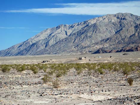 Ashford Mill Site (view NE towards Black Mountains) |
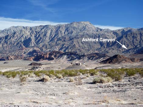 Ashford Mill Site (view NE towards Ashford Canyon) |
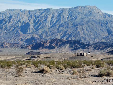 Ashford Mill Site (view NE towards Black Mountains) |
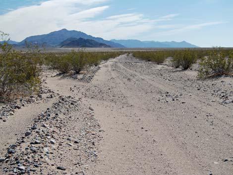 Original road (now closed) |
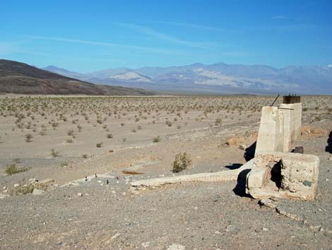
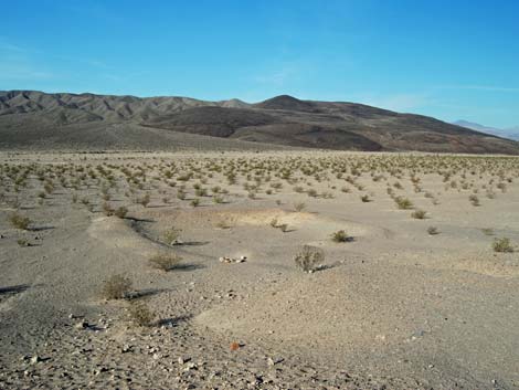 Surrounding landscape (view NW) |
 Surrounding landscape (view SW) |
Table 1. Highway Coordinates Based on GPS Data (NAD27; UTM Zone 11S). Download Highway GPS Waypoints (*.gpx) file.
| Site | Location | UTM Easting | UTM Northing | Latitude (N) | Longitude (W) | Elevation (ft) | Verified |
|---|---|---|---|---|---|---|---|
| 0174 | Hwy 127 at Hwy 178 (Shoshone) | 565854 | 3980972 | 35.97275 | 116.26960 | 1,573 | Yes |
| 0712 | Furnace Creek Visitor Center | 512030 | 4034954 | 36.46159 | 116.86574 | -186 | Yes |
| 0741 | Hwy 190 at Badwater Rd | 513271 | 4033494 | 36.44841 | 116.85192 | 4 | Yes |
| 0839 | Hwy 178 at Harry Wade Rd | 531052 | 3972691 | 35.89982 | 116.65591 | 16 | Yes |
| 1430 | Badwater Rd at Ashford Mill Site | 528835 | 3975020 | 35.92088 | 116.68039 | -116 | Yes |
| 1431 | Ashford Mill Site Parking | 528646 | 3974817 | 35.91905 | 116.68250 | -126 | Yes |
| 1432 | Badwater Rd at West Side Road (south) | 526715 | 3976879 | 35.93770 | 116.70382 | -49 | Yes |
Happy Hiking! All distances, elevations, and other facts are approximate.
![]() ; Last updated 240324
; Last updated 240324
| Death Valley | Hiking Around Las Vegas | Glossary | Copyright, Conditions, Disclaimer | Home |