Hiking Around Las Vegas, Death Valley National Park
 Zabriskie Point Overlook |
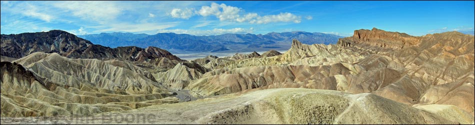
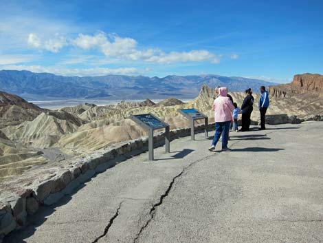
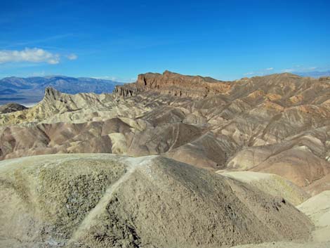
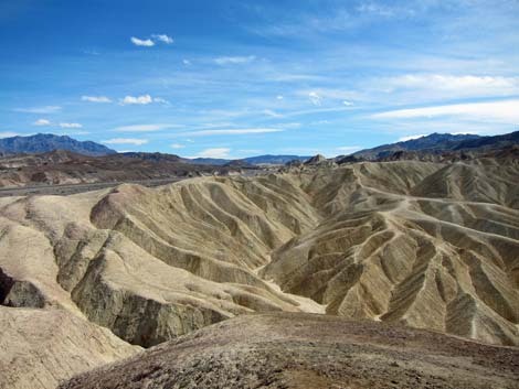
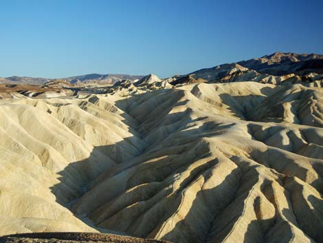
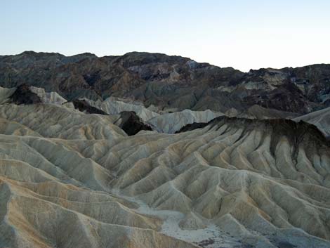
Overview Zabriskie Point Overlook is an overlook with grand views west across eroded mudhill badlands down into the salt pan of Death Valley. The mud hills are formed of volcanic ash, and the colors of the dirt and the erosion patterns are amazing. This is a favorite place for sunset and sunrise photographers, although I think I prefer the mid-morning lighting -- to each their own joy. Using the Gower Gulch Trail, hikers can wander down and get personal with the Zabriskie Point landscape. Link to map. |
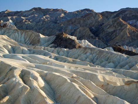
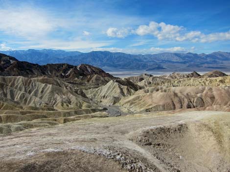 Stark, daytime colors |
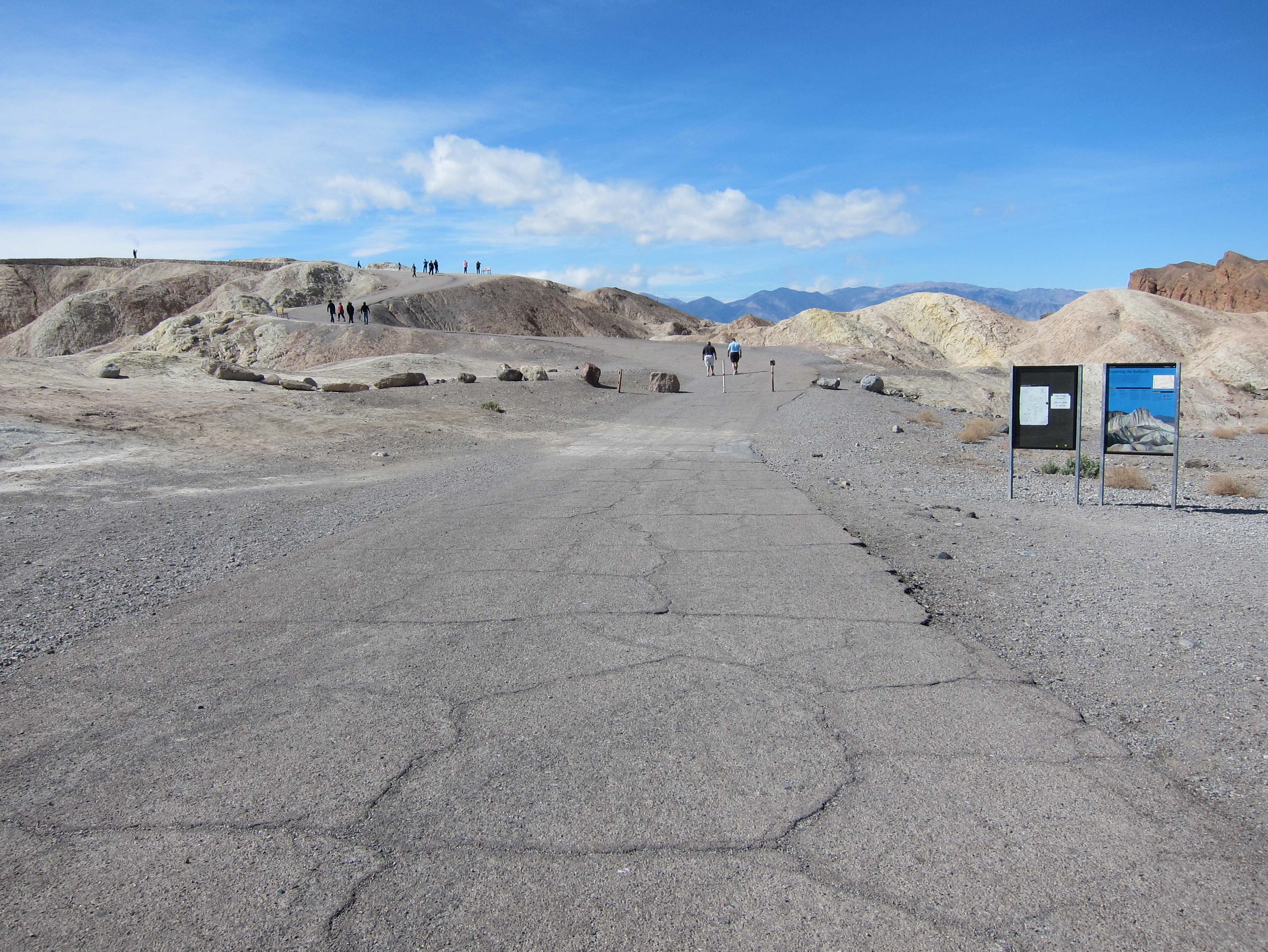
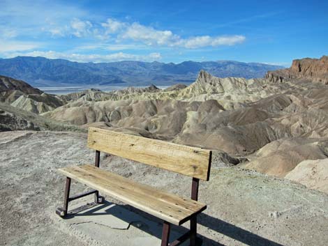
Watch Out Other than the standard warnings about hiking in the desert, ... this area is about as safe as it gets if you stay on the road and paved walkways. The trail to the overlook is a bit steep, so use the benches along the way to sit and rest. While out, please respect the land and the other people out there, and try to Leave No Trace of your passage. Also, this is a short hike, so just bring what you need of the 10 Essentials. For those who wander beyond the paved areas, the walk goes into the Death Valley Wilderness Area, so pay particular attention to respecting the land. |
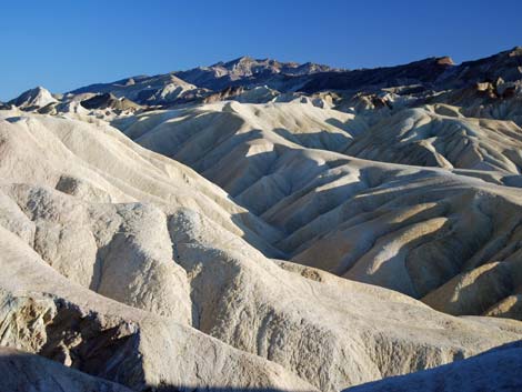
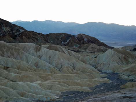
 Subtle after-sunset colors |
Getting to Zabriskie Point Zabriskie Point Overlook is located along Highway 190 in the central section of Death Valley National Park, about 2 hours northwest of Las Vegas. From town, drive out to Death Valley. From the Furnace Creek Visitor Center (Table 1, Site 0712), drive south on Highway 190 for about 4.8 miles to Zabriskie Point Road (Site 0606), on the right. Watch for highway signs. Turn right and drive into the parking lot (Site 0747). Park here; this is the place. Restrooms are available. |
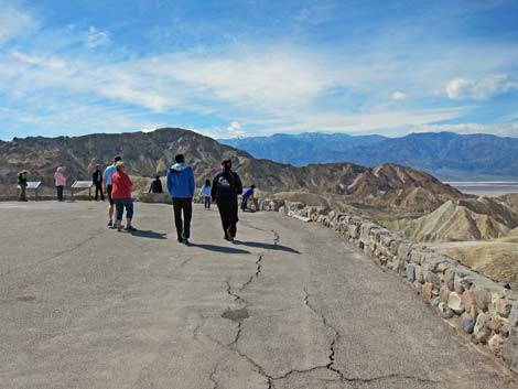
 Paved trail |
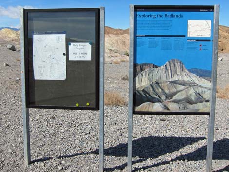 Info signs |
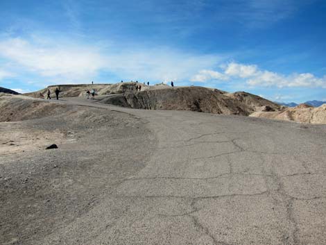 Paved trail |
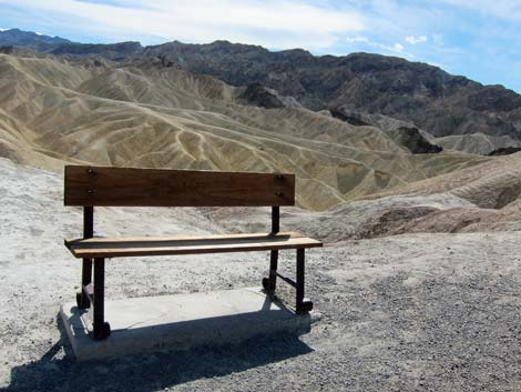 Resting bench |
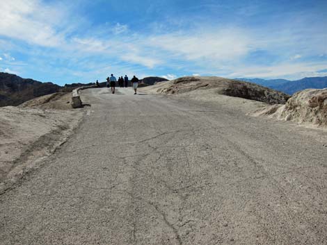 Paved trail |
 Resting bench |
 Zabriskie Point Overlook |
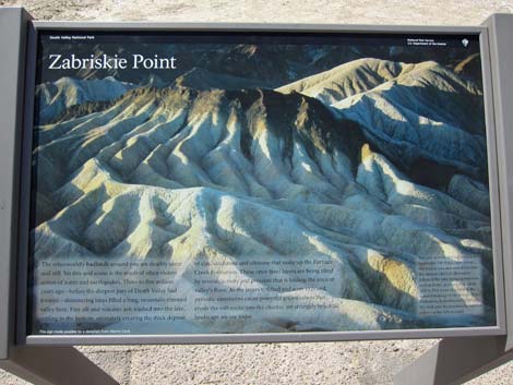 Info sign |
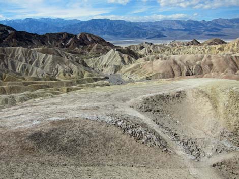 Zabriskie Point Overlook (view W) |
 Zabriskie Point Overlook (view NW) |
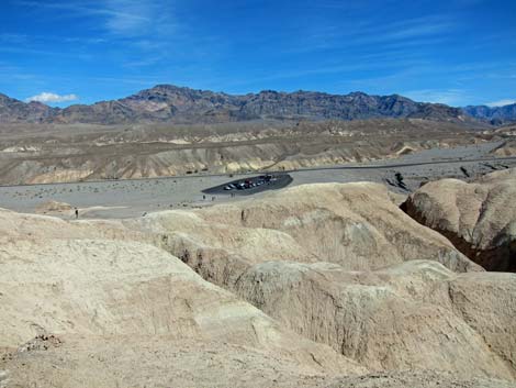 Zabriskie Point Overlook (view E to parking lot) |
 Zabriskie Point Overlook (view SE) |
 Mid-afternoon |
 Late-afternoon |
 Sunset |
 After sunset |
 After sunset (view W) |
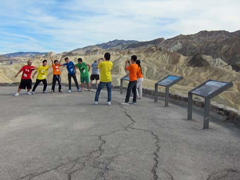 Colorful fun at Zabriskie Point (view SE) |
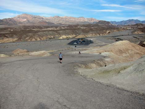 Hiking back down to the trailhead (view NE) |
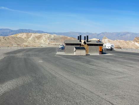 Restroom in the parking lot (view NE) |
Table 1. Highway Coordinates Based on GPS Data (NAD27; UTM Zone 11S). Download Highway GPS Waypoints (*.gpx) file.
| Site | Location | UTM Easting | UTM Northing | Latitude (N) | Longitude (W) | Elevation (ft) | Verified |
|---|---|---|---|---|---|---|---|
| 0606 | Hwy 190 at Zabriskie Rd | 517206 | 4030470 | 36.42108 | 116.80807 | 660 | Yes |
| 0712 | Furnace Creek Visitor Center | 512030 | 4034954 | 36.46159 | 116.86574 | -186 | Yes |
| 0747 | Zabriskie Point Parking | 517112 | 4030451 | 36.42091 | 116.80912 | 656 | Yes |
Happy Hiking! All distances, elevations, and other facts are approximate.
![]() ; Last updated 240324
; Last updated 240324
| Death Valley | Hiking Around Las Vegas | Glossary | Copyright, Conditions, Disclaimer | Home |