Backroads Around Las Vegas, Death Valley National Park
 |
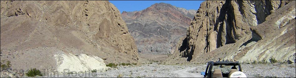
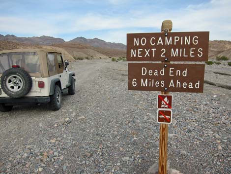
Overview Hole in the Wall Road is a gravel, two-track road that runs up a broad wash, through a narrow gap cut in a ridge (the "hole"), and then up the broad wash beyond. The road ends at an old prospect, but it looks like there was no real mining activity. The far side of the Hole is 3.7 miles out, and the road ends at about 6.0 miles out. Although the Hole in the Wall is the scenic attraction, the entire road is scenic and makes for a nice day out for hikers and drivers. This road provides hiker access to various hiking destinations such as Slit Canyon and Undertaker Canyon, and it provides 4WD vehicle access to quiet camping areas beyond the Hole. Free permits are required for roadside camping along Echo Canyon Road, Hole in the Wall Road, Cottonwood Canyon Road, and Marble Canyon Road. Camping in these areas is only allowed in designated sites with a free permit. Link to map. |
 |
Watch Out Other than the standard warnings about hiking in the desert, ...this road is an entirely safe in appropriate vehicles, but be sure that your vehicle is in good working condition, carry plenty of water (radiator and drinking), pack a lunch, and drive slowly and carefully. The road to near the Hole can usually be navigated in a carefully driven sedan. Beyond the Hole, the road is rough, and quite rough where the old road is washed out. While out, please respect the land and the other people out there, and try to Leave No Trace of your passage. This road goes into remote areas, so be sure to bring the 10 Essentials. |
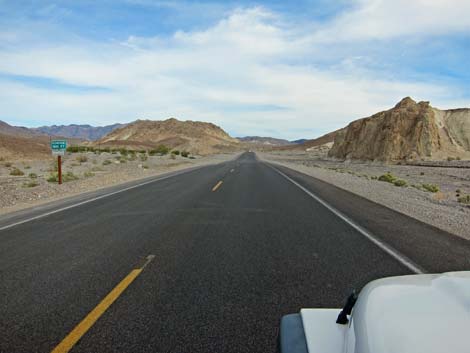
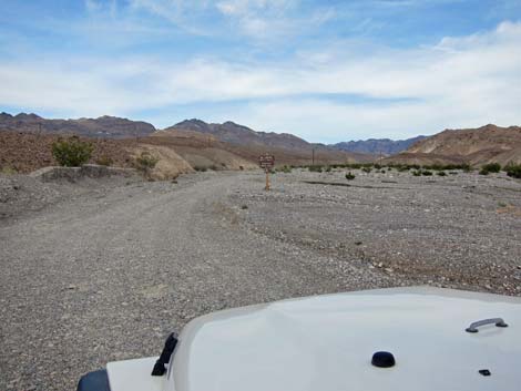
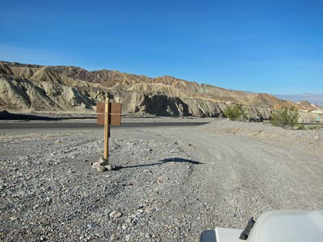
 Highway 190 at Hole in the Wall Road (view E) |
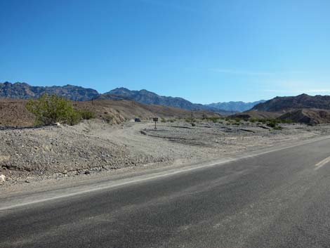
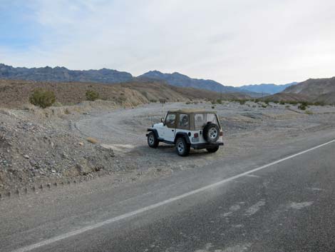
Getting to Hole in the Wall Road Hole in the Wall Road is located in the central part of Death Valley National Park, about 2 hours northwest of Las Vegas. From town, drive out to Death Valley. From the Furnace Creek Visitor Center (Table 1, Site 0712), drive south on Highway 190 for 6.7 miles (1.9 miles past Zabriskie Point). Watch for a small road sign and a gravel road to the left (Site 0936). Turn here; this is the roadhead. |
 |
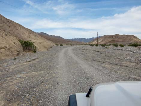
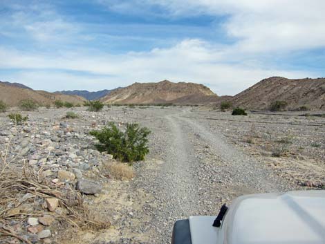
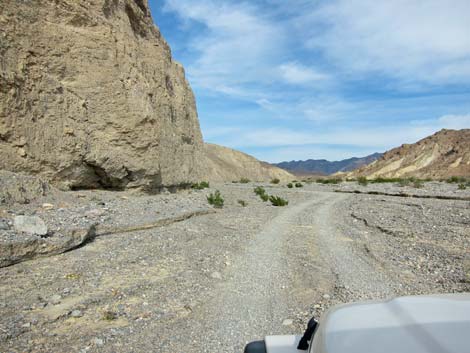
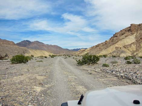
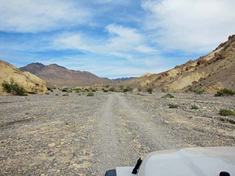
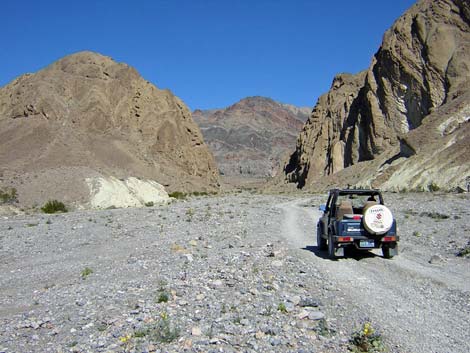
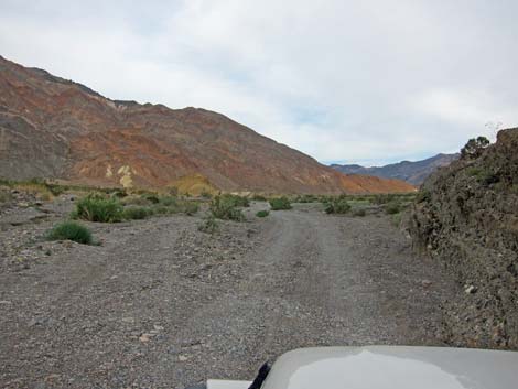
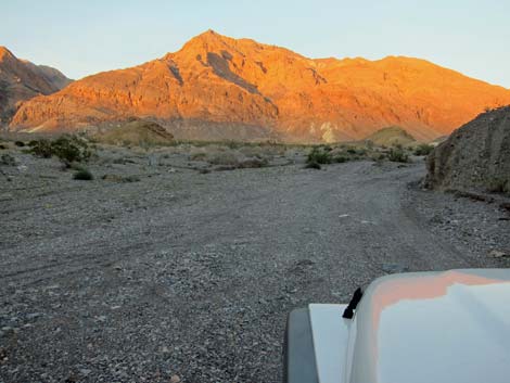
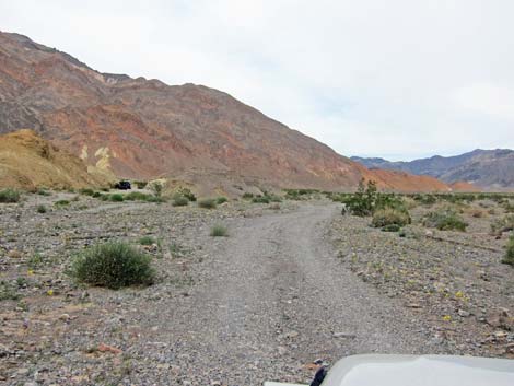
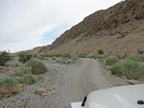
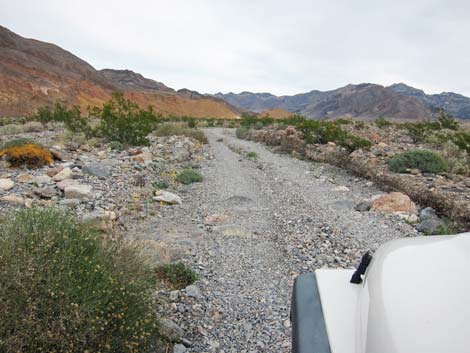
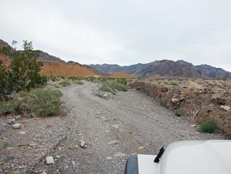
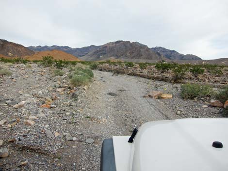
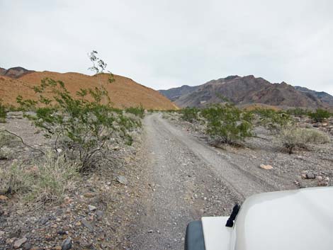
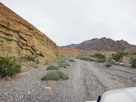
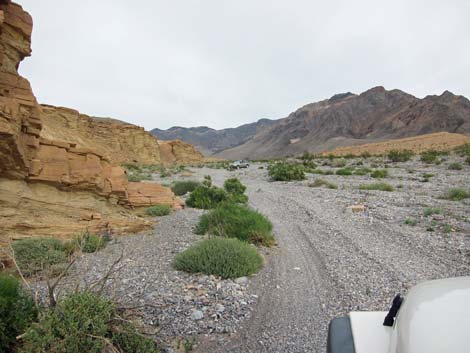
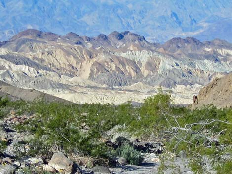
The Road From the pavement (Site 0936), the road runs generally east in the broad, open wash. The side of the wash often are gray, but intricately eroded, colorful mud hills crop out in several places. In this lower portion (first miles), the roadbed generally is firm, and the hump of gravel in the center of the road isn't too bad for carefully driven sedans. Near to the Hole in the Wall (about 3.3 miles out), the canyon narrows a bit, and the gravel becomes softer. Drivers in sedans are advised to stop sooner rather than later. Through the Hole, the roadbed firms again to the far side of the Hole (about 3.7 miles out). Beyond there, the remaining 2.3 miles run up the wash. Where the old road is intact, the driving is easy, but where washed out, it can be quite rough with rocks and soft gravel. The road ends at old prospects that appear not to have been worked, which is to say that the road doesn't really go anywhere. |
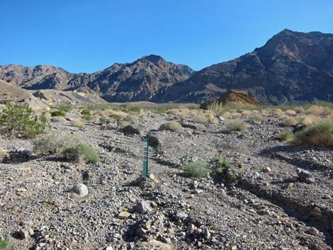
 Road sign (view E); new sign says 1 mile |
 Approaching first powerlines |
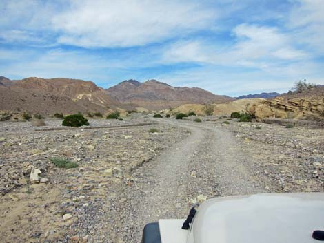
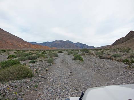
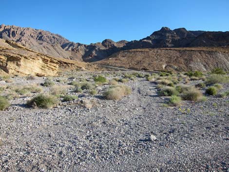
 Fairly smooth road some of the way |
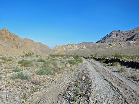
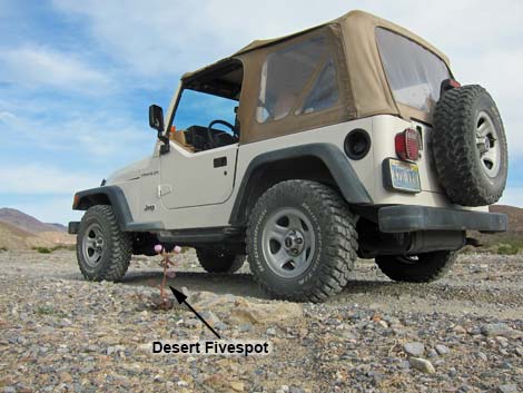 Don't run over pretty flowers |
 |
 |
 |
 |
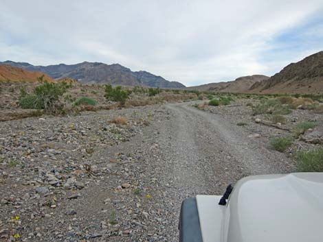
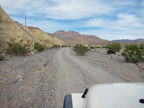 Approaching second powerlines |
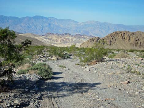
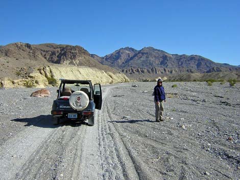 Liz in the wash |
 |
 |
 |
 |
 |
 |
 |
 |
 |
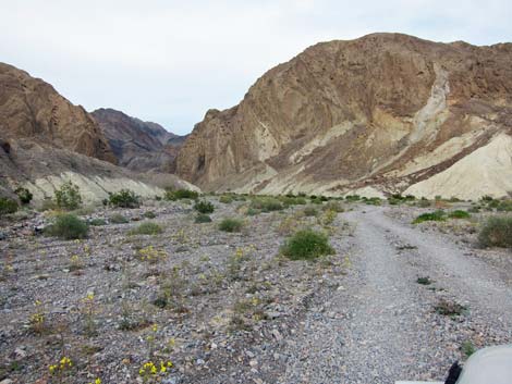 |
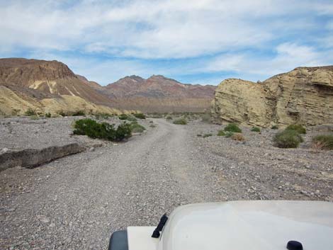
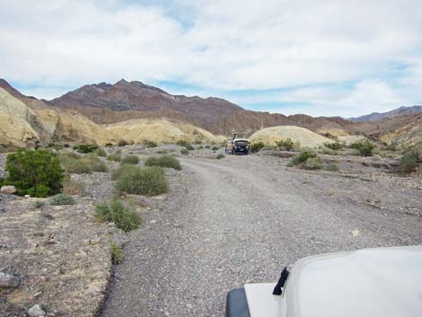
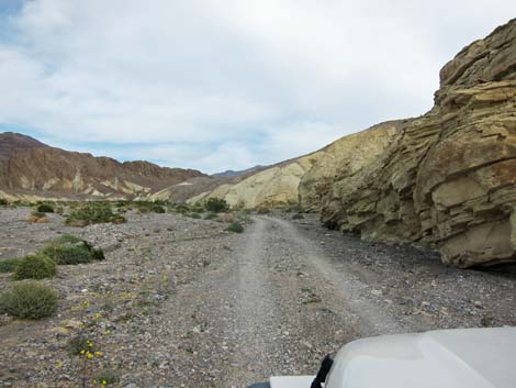
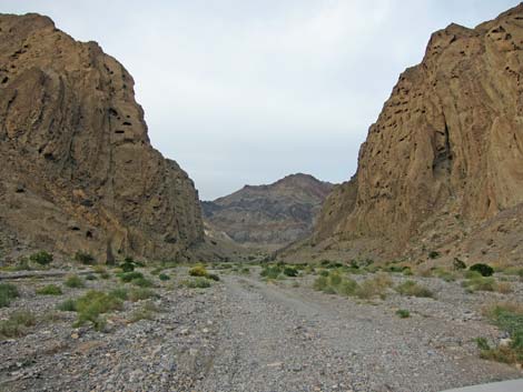
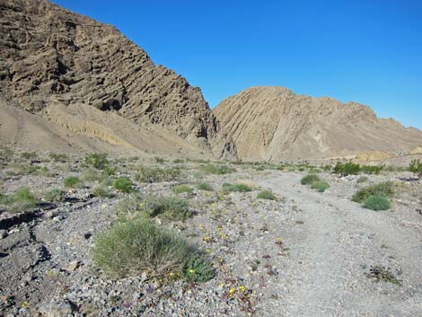
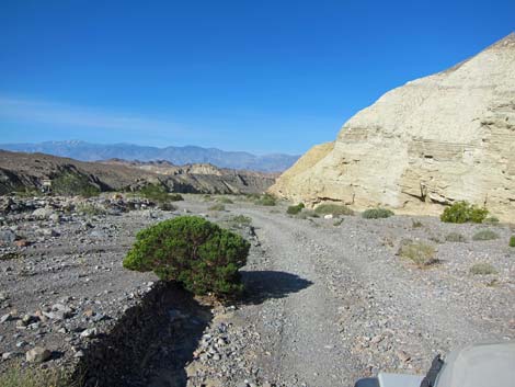
 Approaching Hole in the Wall (view NE) |
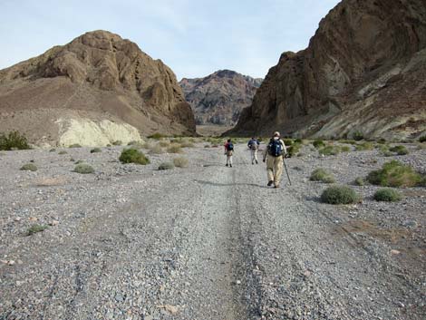 Hikers entering the Hole in the Wall (view NE) |
 Maybe "gap" in the wall would be a better name |
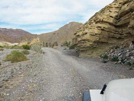
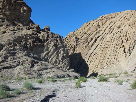
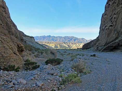
 Hole in the Wall (view NE) |
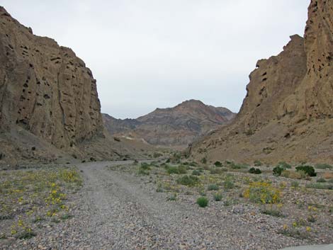 Hole in the Wall (view NE) |
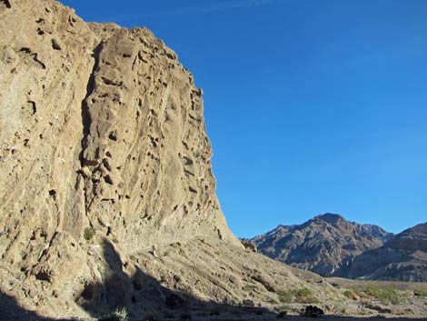
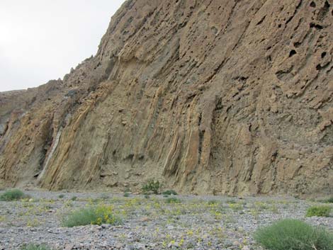 Contorted rock layers in Hole in the Wall (view E) |
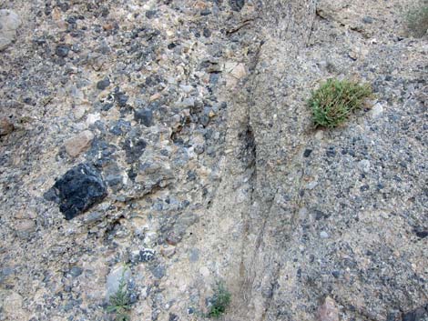 Details of rock walls |
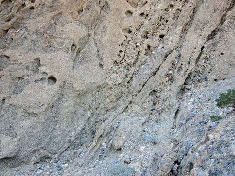 Details of rock walls |
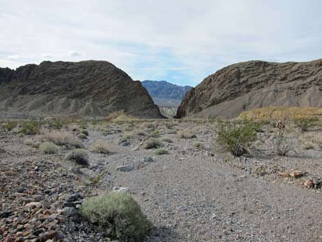
 Exiting Hole in the Wall (view E) |
 Undertaker Canyon trailhead (view NE) |
 Trailhead parking for Undertaker Canyon |
 Trailhead for Undertaker Canyon |
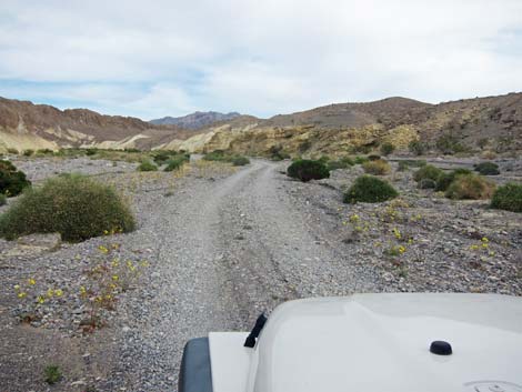
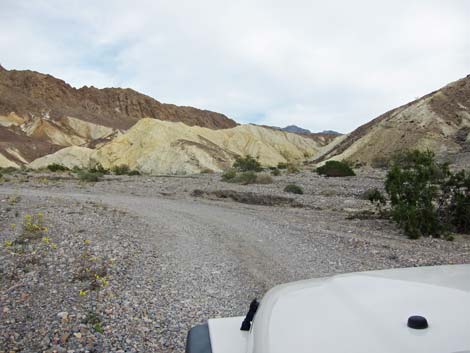
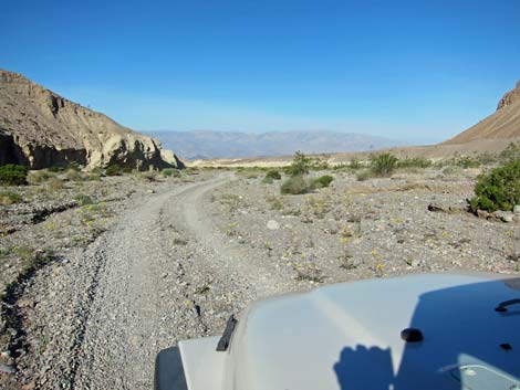
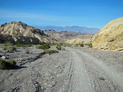
 Beyond Hole in the Wall (view E) |
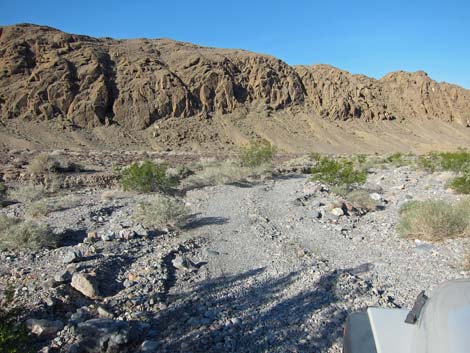
 Wash becomes considerably rougher (view E) |
 |
 |
 |
 |
 |
 |
 Nearing the end of the road (view E) |
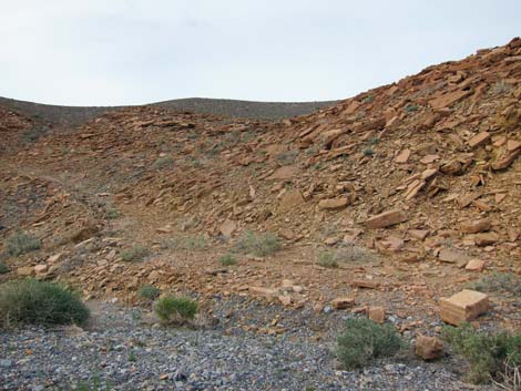 Stone quarry near end of road (view E) |
 Approaching the end of the road (view E) |
 End of the road sign (view E) |
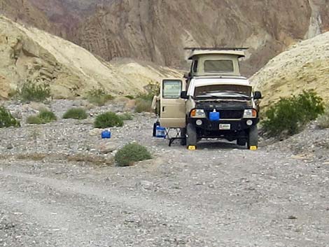
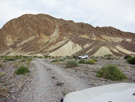
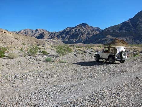
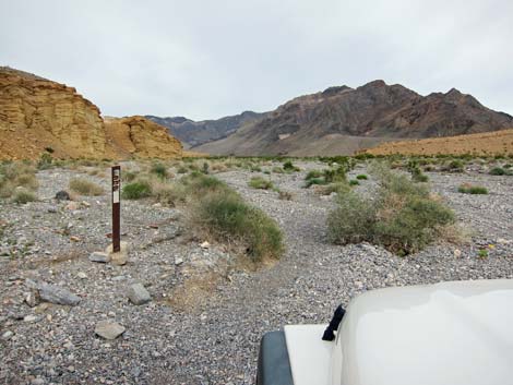
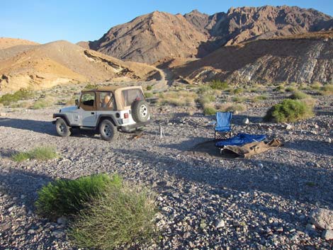
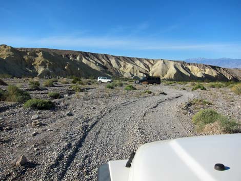
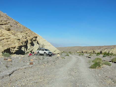
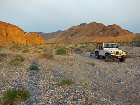 Quiet campsite (view E) |
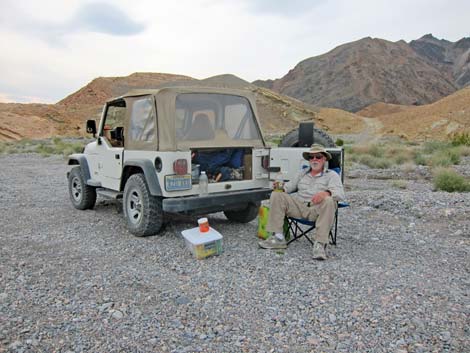 Quiet campsite (view N) |
Returning Down the Road
 Quiet campsite (view N) |
 Leave-No-Trace campsite (view N) |
 |
 |
 |
 |
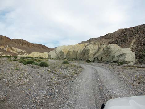
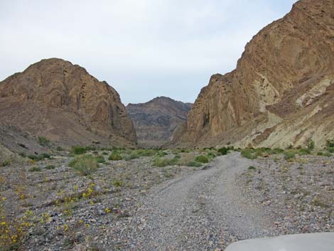
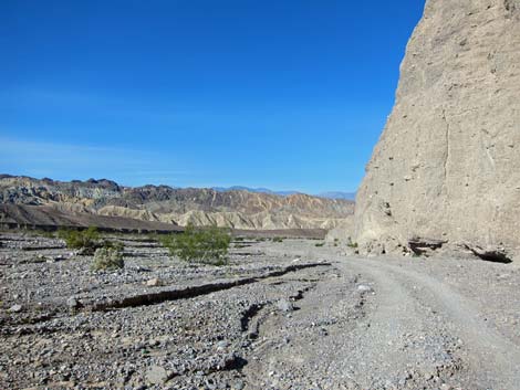
 Nearing Hole in the Wall (view NW) |
 Hole in the Wall Road (view SW from Undertaker Wash) |
 Entering Hole in the Wall (view W) |
 Hole in the Wall (view SW) |
 Hole in the Wall cliffs (view S) |
 Campers below Hole in the Wall (view SW) |
 |
 |
 |
 |
 Passing cliff (view SW) |
 Arriving back at the pavement (view SW) |
Table 1. Road Coordinates (NAD27; UTM Zone 11S). Download Highway GPS Waypoints (*.gpx) file.
| Site | Location | UTM Easting | UTM Northing | Latitude (N) | Longitude (W) | Elevation (ft) | Verified |
|---|---|---|---|---|---|---|---|
| 0595 | Hole in the Wall Trailhead | 524862 | 4029813 | 36.41499 | 116.72269 | 1,852 | Yes |
| 0936 | Hwy 190 at Hole in the Wall Road | 519553 | 4028678 | 36.40488 | 116.78194 | 1,013 | Yes |
| 1434 | Hole in the Wall Road, End | 528171 | 4028942 | 36.40705 | 116.68581 | 2,594 | GPS |
Happy Hiking! All distances, elevations, and other facts are approximate.
![]() ; Last updated 240324
; Last updated 240324
| Death Valley | Hiking Around Las Vegas | Glossary | Copyright, Conditions, Disclaimer | Home |