Hiking Around Las Vegas, Desert National Wildlife Refuge
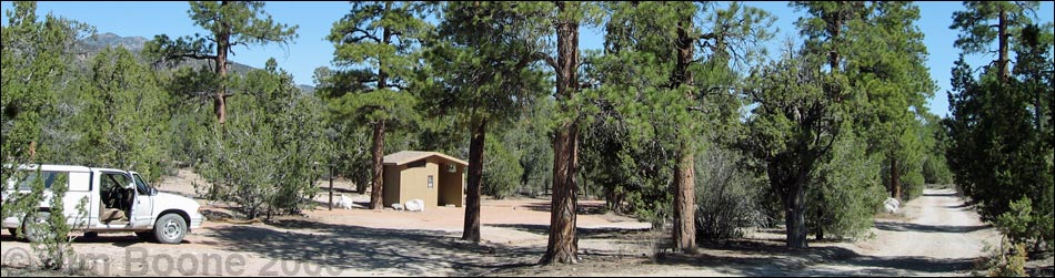
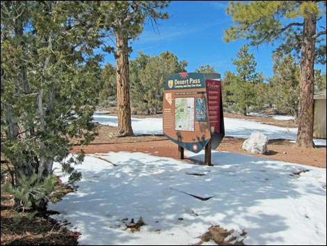
 Campground sign (view N) |
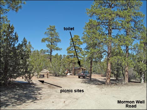
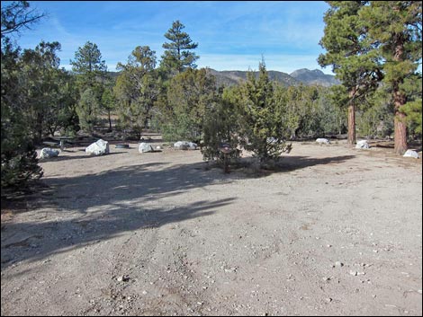
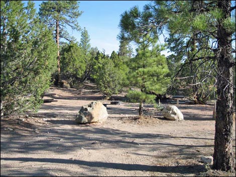
Overview Desert Pass Campground is a combined campground and picnic area located along Mormon Well Road in the heart of the Desert National Wildlife Refuge. The campground is a pleasant area with tall ponderosa pines and wide-open skies, and it makes a nice place for a base camp while day hiking in the area. There are three family campsites, one group campsite, and two picnic sites that easily could serve as over-night campsites. Each site has a fire ring and a picnic table, and there are two vault toilets. Desert Pass Campground was formerly named "Mormon Pass Campground" because it is located at Mormon Pass. Now however, new signs call it "Desert Pass" despite the fact that the official name for the place is Mormon Pass. Link to a map. |
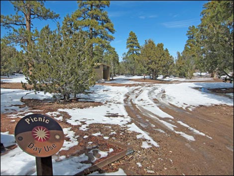
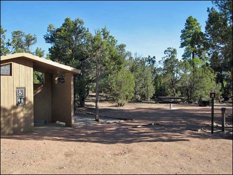
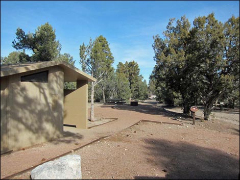
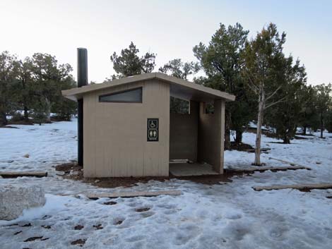
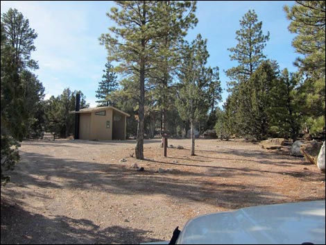
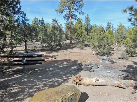
 Picnic sites and southern outhouse (view N) |
For general information on camping, regulations, other issues, and the natural history of the Wildlife Refuge, see the Desert National Wildlife Refuge -- Area Overview page. While camping, please respect the land and the other people out there, and try to Leave No Trace of your passage. This is a wildlife refuge, so pay extra attention to respecting the land. Please, don't bother the bighorn sheep. |
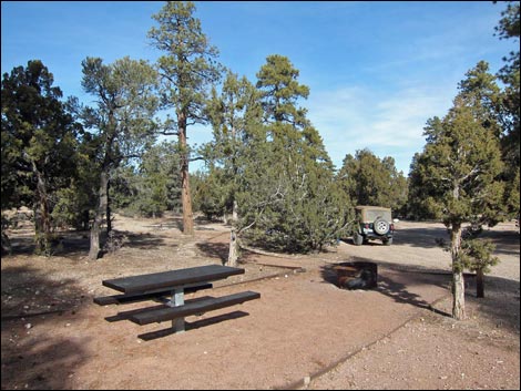
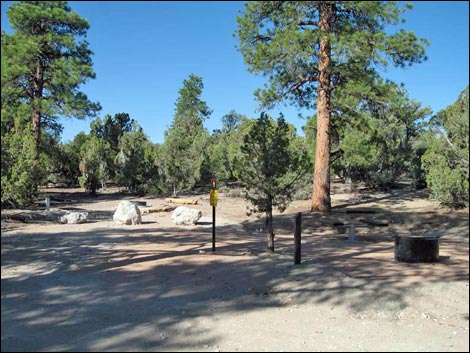
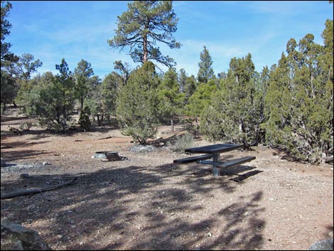
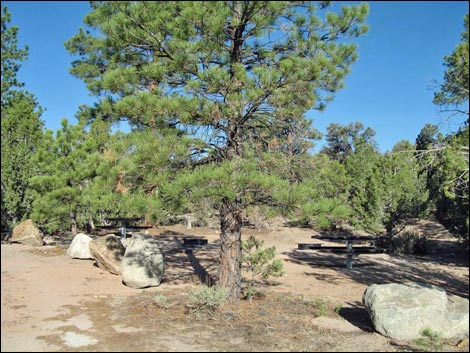
 Picnic site |
Location This campground is located on the Desert National Wildlife Refuge, about 2.5 hours north of Las Vegas. From town, drive out to Corn Creek Field Station and continue east 50 yards to a T-intersection. Turn right onto Mormon Well Road (mile 0.0) and drive south. The road bends to the left (mile 0.3) and heads east and up towards the mountains. Continue on the main road past Gass Peak Road (mile 4.4), through Pee-a-Boo Canyon (mile 14.9), and out to Desert Pass Campground (mile 25.5). Alternatively, for a longer highway and shorter dirt road approach, drive west on I-15 to Highway 93. Drive north on Hwy 93 for 42.7 miles to a dirt road on the left (Site 649). Watch for powerlines crossing the highway to a power substation. If you miss the turn, turn around at Coyote Springs (Hwy 168) and go back 2.2 miles. Turn west and drive up the dirt road for about 16.2 miles to the campground. For details, see the description of the Mormon Well Road. |
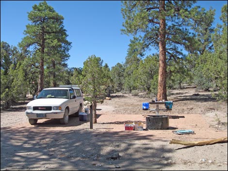
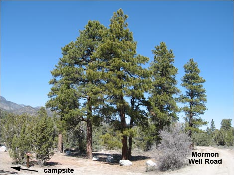
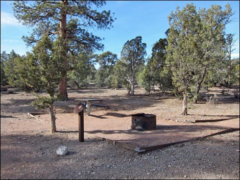
 Family campsite |
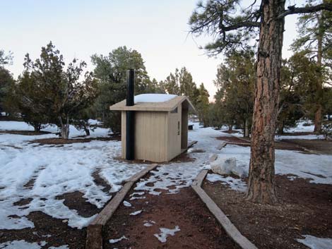
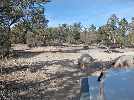
The Campground and Picnic Areas The camp (Table 1, Site 0648) and picnic sites are spread out along about 0.2 miles of the Mormon Well Road, with a short (0.1 miles) spur road at the south end of the campground that runs west and north. Each site has a fire ring and a picnic table, and the campsites have smooth tent pads. Two family campsites are located on the spur road. The first sites visitors see on the main road are the picnic sites by the southern outhouse. The next campsite along the road is another family site, and the last campsite is a group camping area with two tables, two fire rings, two tent pads, and the second outhouse. All of the sites are partially shaded by ponderosa pines, single-leaf pinyon, and Utah juniper trees. |
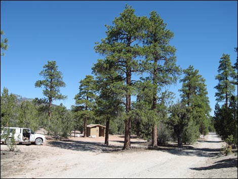
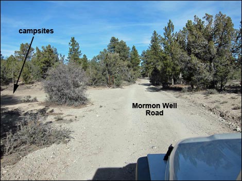
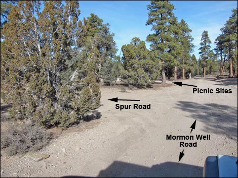 Approaching Desert Pass Campground |
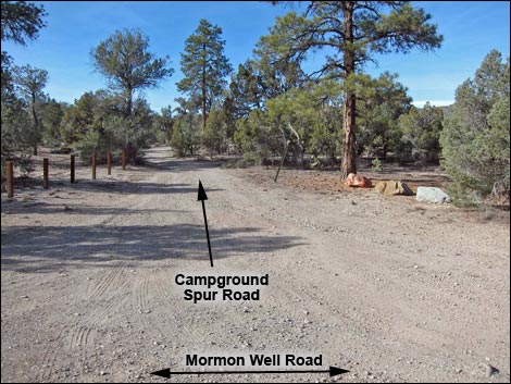 Turnoff to Campground Spur Road (2 campsites) |
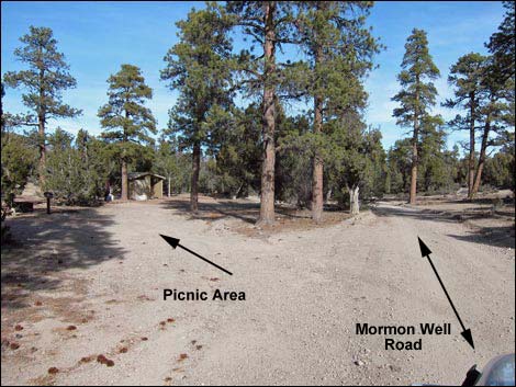 Turnoff to Picnic Area |
 Turnoff to Picnic Area |
 Turnoff to Flicker Flats campsite |
 Turnoff to Covey Group Campsites |
Picnic Area
|
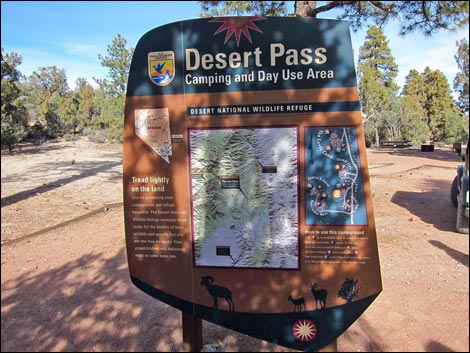 |
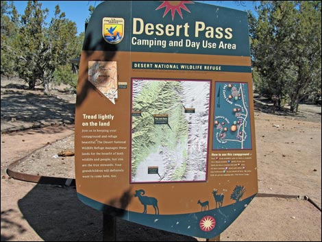
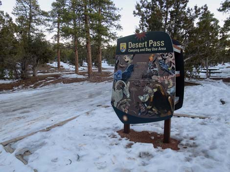
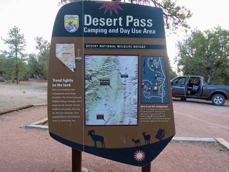 Desert Pass camp sign with map and info (front) |
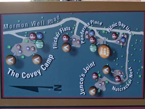 Campground map (enlarged from front of sign) |
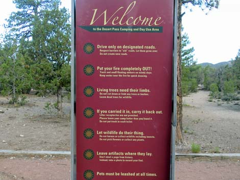 General info (edge of sign) |
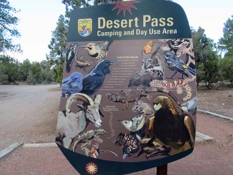 Info about desert wildlife (back of sign) |
 |
 |
 |
 |
Flicker Flats Campsite
 |
 |
Ponderosa Place Campsite
 Before ADA compliance (view N) |
 After ADA compliance (view N) |
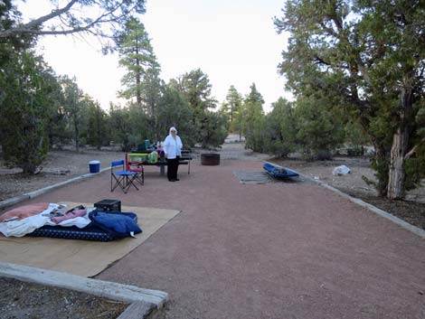 Set up and ready to sleep under the stars (view N) |
More to come ... |
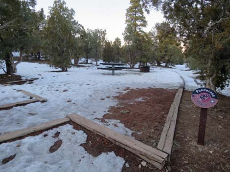 Desert Pass Campground during winter |
 Desert Pass Campground during winter |
 Desert Pass Campground during winter |
 Desert Pass Campground during winter |
Junco's Joint Campsite
 |
|
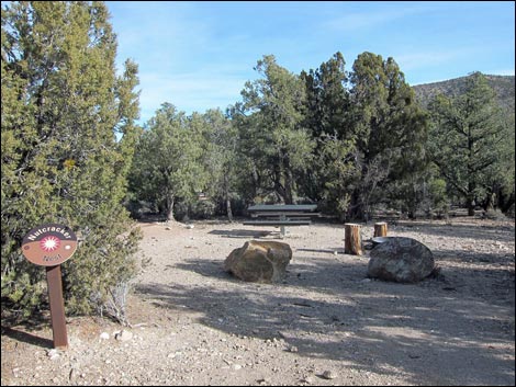
Nutcracker Nest Campsite
 |
|
The Covey Group Campsite
 |
 |
 |
 |
 |
|
Table 1. Highway Coordinates Based on GPS Data (NAD27; UTM Zone 11S). Download Highway GPS Waypoints (*.gpx) file.
| Site # | Location | Latitude (N) | Longitude (W) | UTM Easting | UTM Northing | Elevation (feet) | Verified |
|---|---|---|---|---|---|---|---|
| 0648 | Mormon Pass Campground | 36.62340 | 115.11070 | 668940 | 4054556 | 6,700 | Yes |
Happy Hiking! All distances, elevations, and other facts are approximate.
![]() ; Last updated 240324
; Last updated 240324
| Hiking Around DNWR | Hiking Around Las Vegas | Glossary | Copyright, Conditions, Disclaimer | Home |