 |
| Home | Wilderness | Hiking | Desert NWR | Dunes North |
Desert Dry Lake Dunes North Map
Hiking Around Las Vegas,
Desert National Wildlife Refuge |
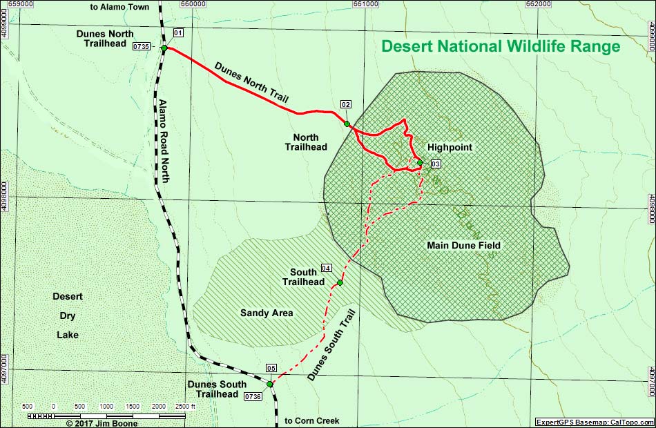 |
| Note: Roads are black (solid = paved; dashed = unpaved). Trails and routes are red (solid = main; dashed = adjacent or alternate). Map based on USGS 7.5-minute topo map, which may have red grid lines and various numbers. North is at the top. Grid is UTM NAD27 CONUS. Wildlife Refuge (boundaries solid green, fill light green) based on USFWS data. Dune areas (hatch and cross-hatch) based on Google Earth (1/2015) image. Download waypoint coordinates from route description page. |
Happy Hiking! All distances, elevations, and other facts are approximate.
 ; Last updated 171221 ; Last updated 171221 |
|