Hiking Around Las Vegas, Desert National Wildlife Refuge
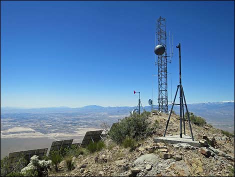 |
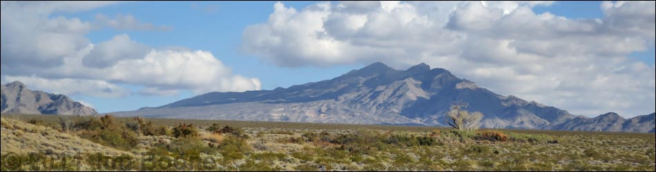
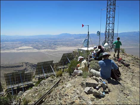
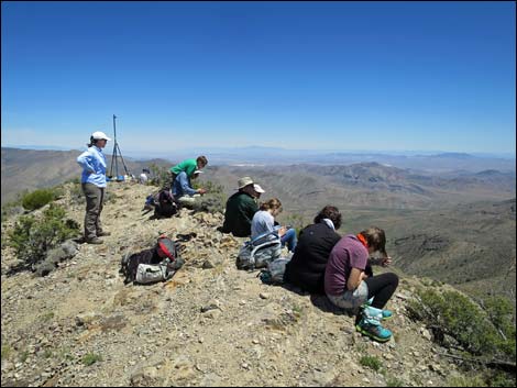
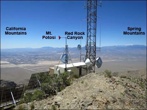
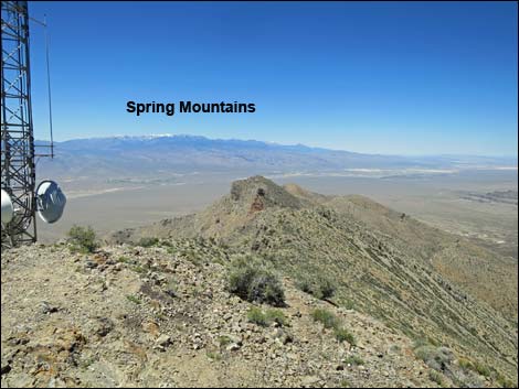
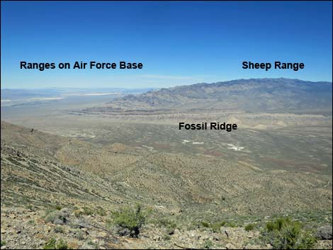
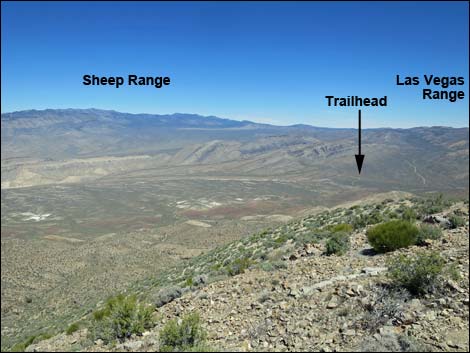
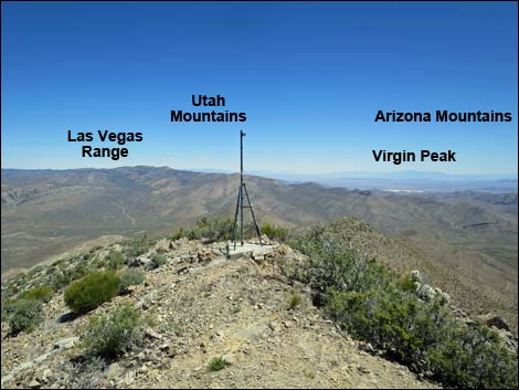
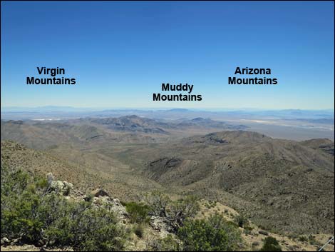
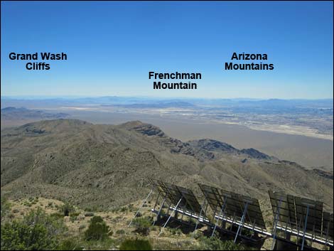
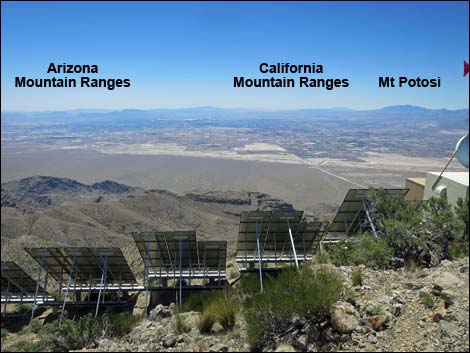
Overview Gass Peak is the highest summit in the Las Vegas Range, the long ridge that forms the north edge of the Las Vegas Valley. This hike is 6.5 miles round-trip and fairly stout. The route follows a series of side-ridges on the northeast side of the mountain to the summit ridge, and then follows the summit ridge to the peak. Views from the summit provide a striking contrast: to the north lies a vast and glorious wilderness, and to the south lies a vast urban area. Views from the summit also include an expanse of desert stretching from Utah to the northeast, Arizona to the southeast, and California to the southwest. |
 |
 |
 |
 |
 |
 |
 |
 |
 |
 |
 |
 |
 |
 |
Happy Hiking! All distances, elevations, and other facts are approximate.
![]() ; Last updated 240324
; Last updated 240324
| Hiking Around DNWR | Hiking Around Las Vegas | Glossary | Copyright, Conditions, Disclaimer | Home |