Hiking Around Las Vegas, Desert National Wildlife Refuge
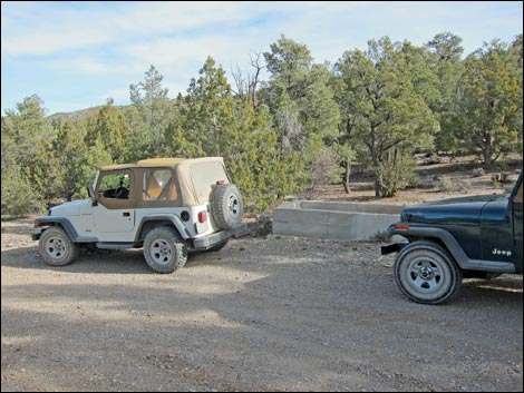
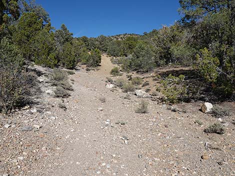
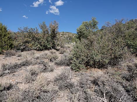
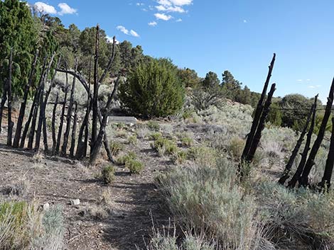
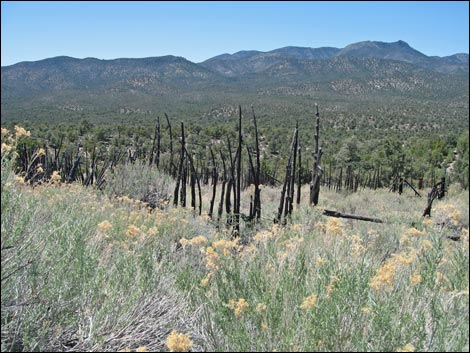
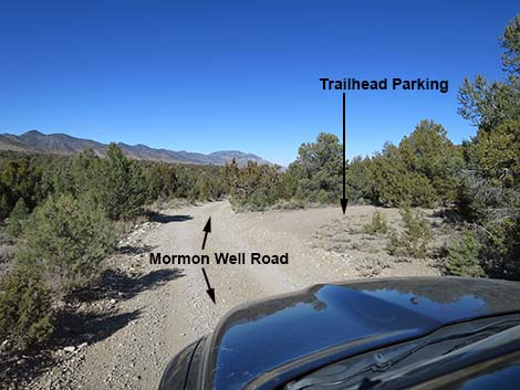 Mormon Well Road at Mormon Well Spur Road (view N) |
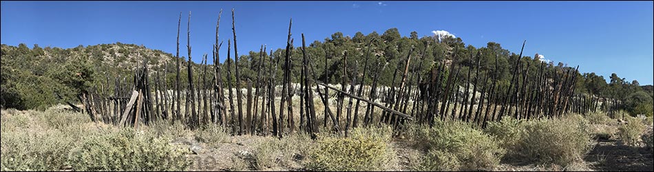
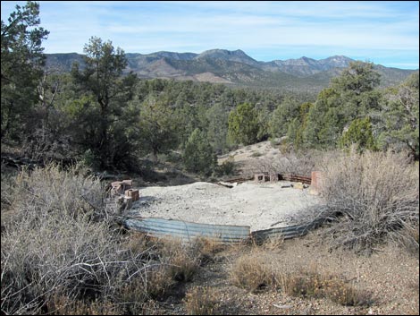
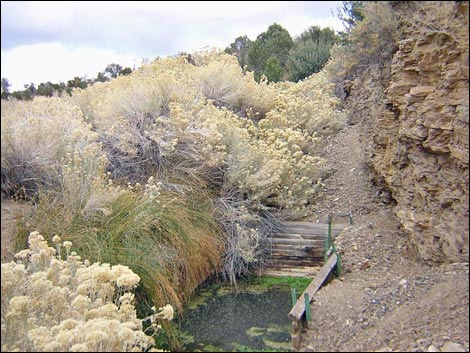
Overview Mormon Well, located out on the Desert National Wildlife Refuge, is an historic site developed by Mormon ranchers in the early 1900s as a summer pasture. The area was more-or-less abandoned in about 1924 and last used in 1966. Little remains except the spring, some cement works, and the old circular corral. The site now provides silent testament to those who went before us, while also providing a year-round source of water that attracts wildlife from near and far. Visitors should tread lightly here to ensure that the remaining structures are not damaged, and they should not linger too long because the animals need access to the water. The corral is listed on the national register of historic places in Nevada. In 2022, the spring ran dry. The hike is quite short, about 3/4-miles round-trip, but getting there is an adventure. Mormon Well Road is a long, rough dirt road that starts at Corn Creek and passes through a variety of life zones and geologically interesting areas. Details of the road are posted on the Mormon Well Road page. Link to map or elevation profile. |
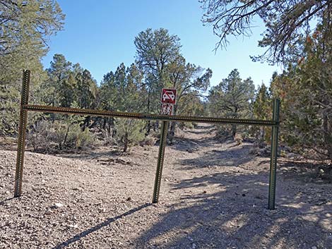
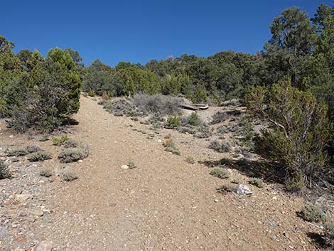
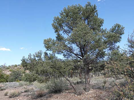
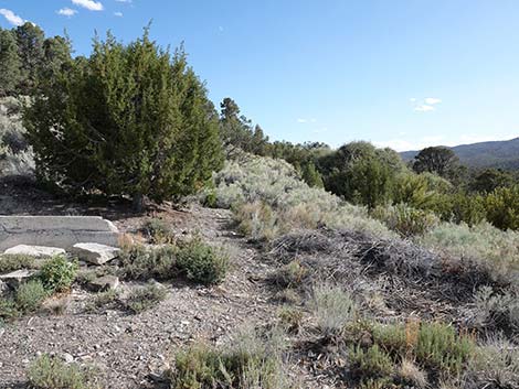
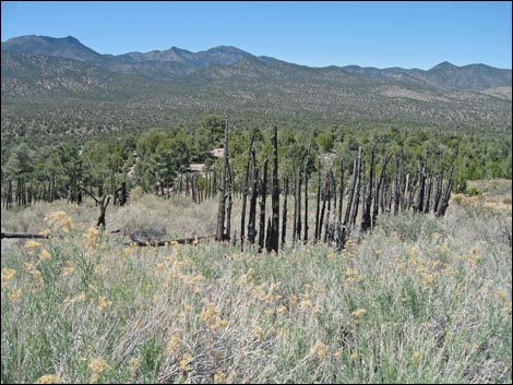
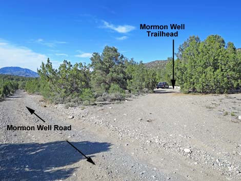 Mormon Well trailhead parking (view NE from main road) |
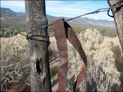
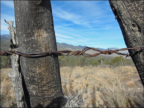
Watch Out Other than the standard warnings about hiking in the desert, ...this is a short, easy hike on an old dirt road, so it is relatively safe. However, there is some old junk and a bit of rusty wire lying about, so be sure not to step on nails or other sharp things. Please be careful around this historic site (it is on the National Register of Historic Places) and help preserve it for future generations. We will never get another one of these. Mormon Well Road is a long, rough, dirt road. A high-clearance vehicle is required under all but the best of conditions. There are no services, except a campground with vault toilets. Take at least a gallon of water per person. Expect to be the only people out there, and be prepared to break down and spend a day waiting for help to find you. Cell phones don't work. |
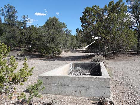
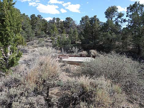
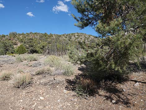
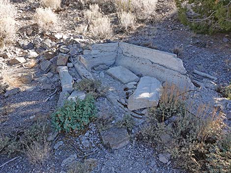
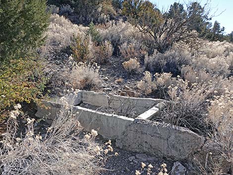
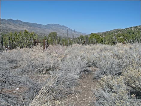
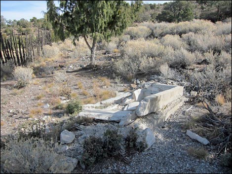
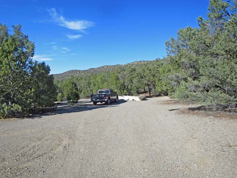 Mormon Well trailhead parking and watering trough (view NE) |
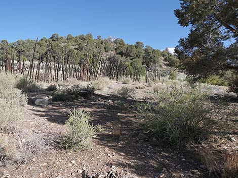
While hiking, please respect the land and the other people out there, and try to Leave No Trace of your passage. Also, although this hike is short, it is a long way out, so be sure to bring what you need of the 10 Essentials. This is a wildlife refuge, so pay extra attention to respecting the land. Please, don't bother the bighorn sheep. They have a hard enough time making a living in these desert lands; they don't need extra stress from people hanging around the spring. Getting to the Trailhead This hike is located on the Desert National Wildlife Refuge, about 3 hours north of town. From Corn Creek Field Station, drive out the Mormon Well Road for 27.4 miles to an unmarked spur road on the right. Turn right and drive about 40 yards to a parking area by an old cement watering trough. Park here; this is the trailhead. |
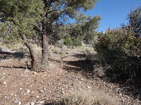
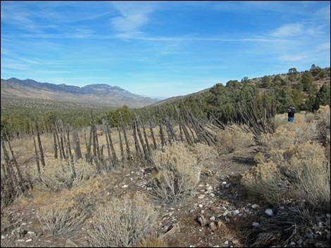
 Mormon Well trailhead parking (view NE) |
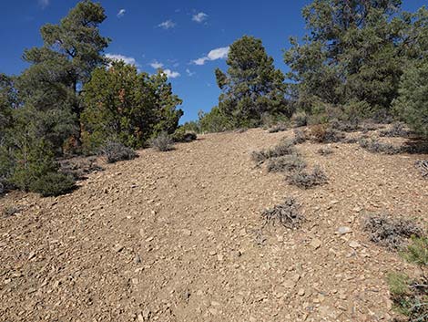
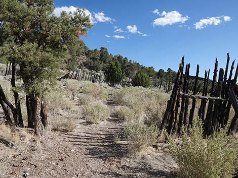
After the hike, consider driving back down the Mormon Well Road. Visitors can continue north for another 14.4 miles to Highway 93, but the road is very rough - nearly 4WD in some places. Mormon Well Road hits Highway 93 where powerlines cross the highway, about 2 miles south of the road to Glendale. At the pavement, turn right and drive south to Las Vegas. The Hike From the cement watering trough (Table 1, Waypoint 02) at the main trailhead, the route runs south-southeast on an old, closed road. After a few hundred yards, the old road turns east and cuts up a steep hillside. Halfway up the hill, the trail passes the foundations of a metal water tank. Atop the hill, the corral (Wpt. 03) sits on a "flat" area. |
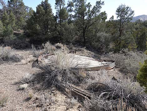
 Old watering trough at Mormon Well trailhead parking (view S) |
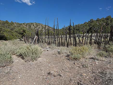
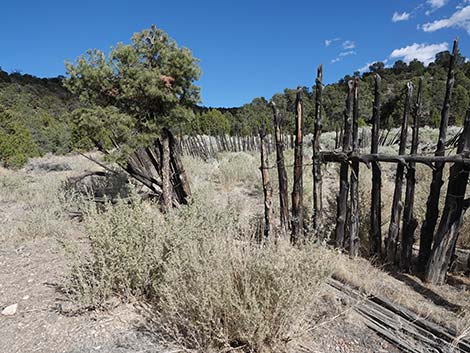
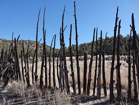
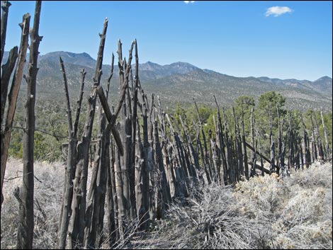
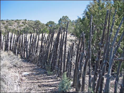
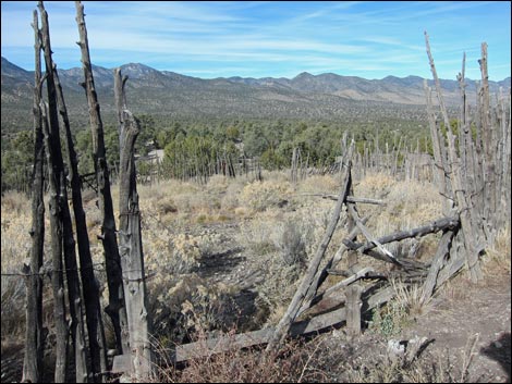
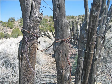
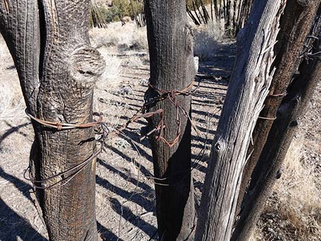
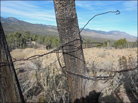
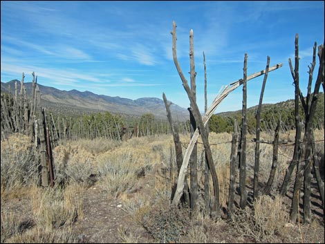
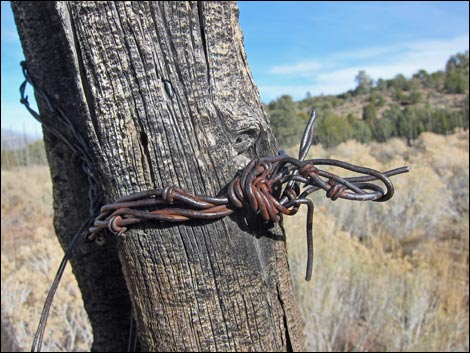
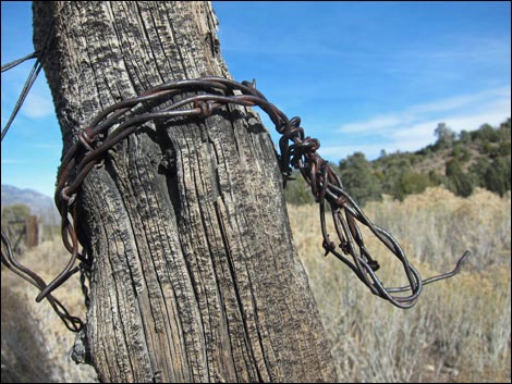
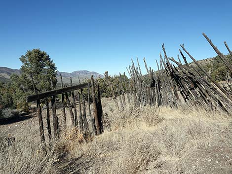
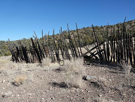
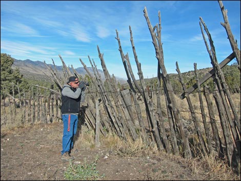
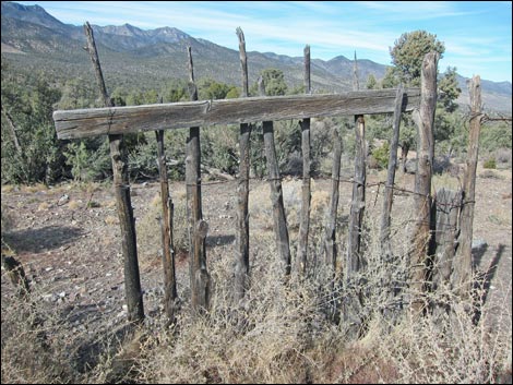
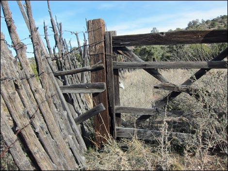
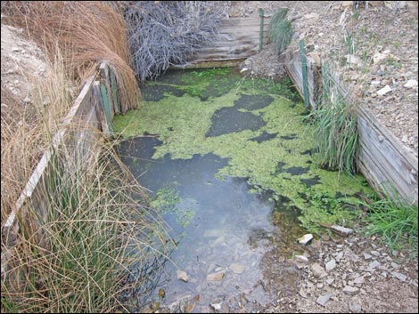
The corral was made from Singleleaf Pinyon Pine and Utah Juniper branches, with the uprights wired together into a circular structure. There are open gates on the north and south sides of the corral, so there is no reason to climb over anything to get inside. Mormon Well Spring (Wpt. 04) is located at the base of the hill on the south side of the corral. There are some old cement watering troughs below the spring, but I don't know if they were original or if they were added more recently. Refuge personnel did some water improvement work here in the past (1950s or 1960s?), and more recently have been removing some of the old equipment (e.g., the metal water tank). Remember, this is the only place we have like this, so be careful and don't damage anything during your visit. When ready to leave, follow your footprints back down the old road to the trailhead. |
 Approaching start of the trail (view S) |
 Start of the trail (view S) |
 Start of the trail (view S) |
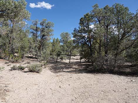
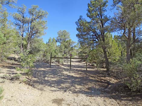
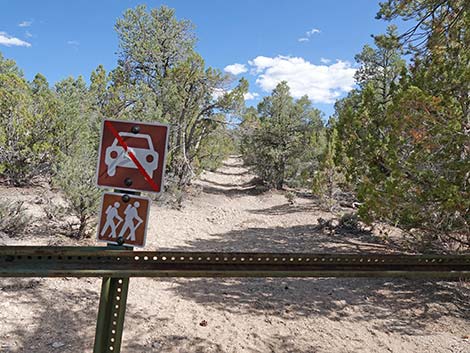 Trail continues beyond the gate (view S) |
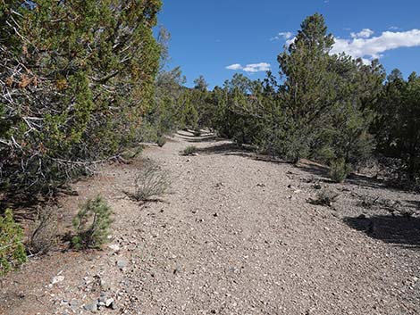
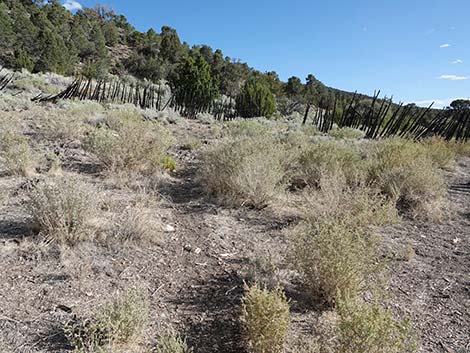
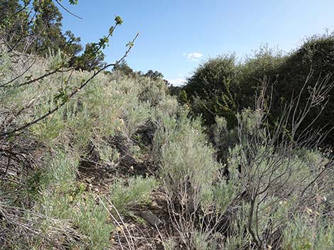
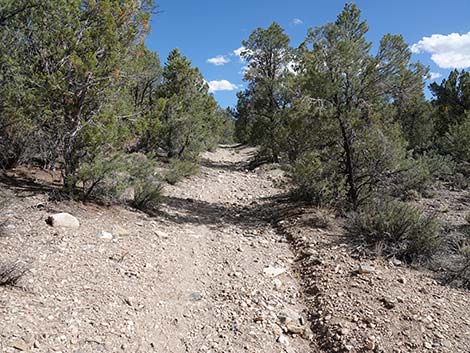 Trail runs up the old access road (view SE) |
 Trail runs up the old access road (view SE) |
 |
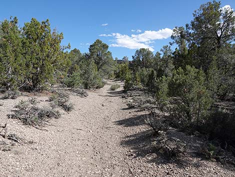 |
 Trail runs up the old access road (view SE) |
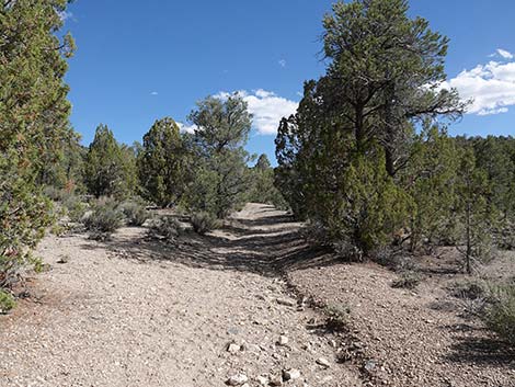
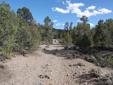
 Approaching the only curve on the access road trail (view SE) |
 Around the curve, trail runs up the old access road (view E) |
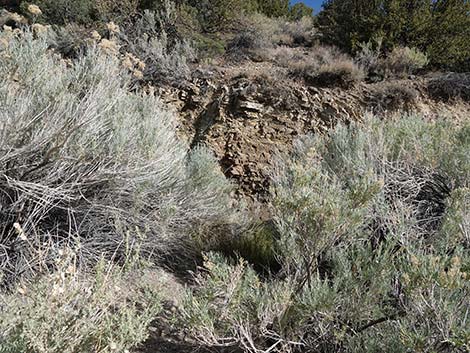
 Approaching ruins of old water tank (view E) |
 Ruins of old water tank (view S from trail) |
 Ruins (foundation) of old water tank (view SW) |
 Looking back down on the old water tank foundation (view W) |
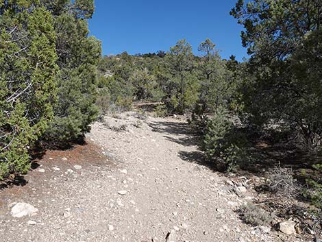
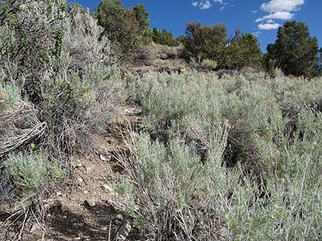
 The trail continues up this steep bit of old road (view NE) |
 The steepest grade is pretty short (view NE) |
 The steep grade begins to level out (view NE) |
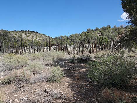
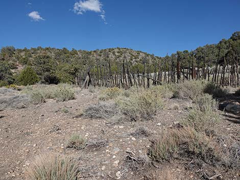
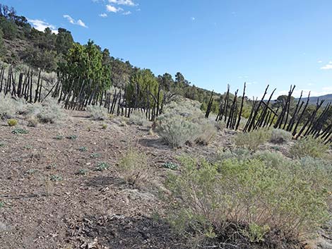
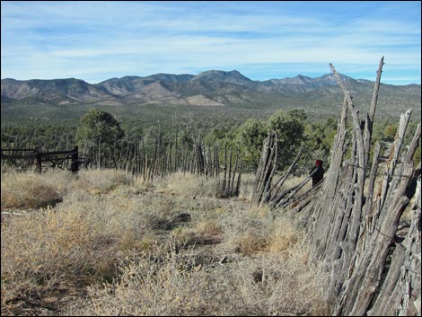
 First view of the corral through the trees (view E) |
 Approaching Mormon Corral (view E through pine tree) |
 West edge of the corral is visible through the tree (view SE) |
 The trail runs left around the pine tree (view E) |
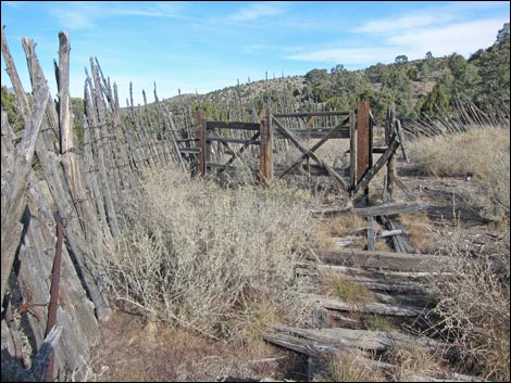
 Arriving at Mormon Corral (view SE) |
 Hikers can walk right around the outside of the corral (view S) |
 Staying left towards the north gate (view E) |
 Approaching the north gate (view E) |
 Approaching the north gate (view SE) |
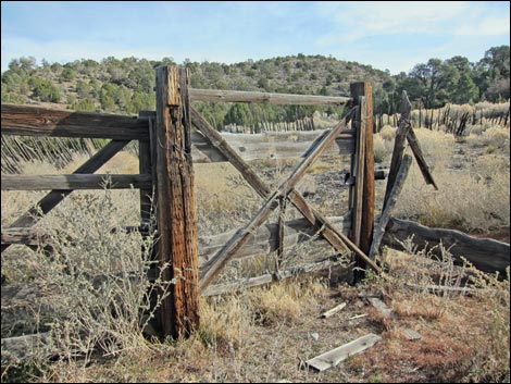
 Entering a gate in the Mormon Corral (view SW) |
 Trail runs through the corral towards the south gate (view SW) |
 Inside the Mormon Corral (view SW) |
 Exiting the Mormon Corral through the south gate (view SW) |
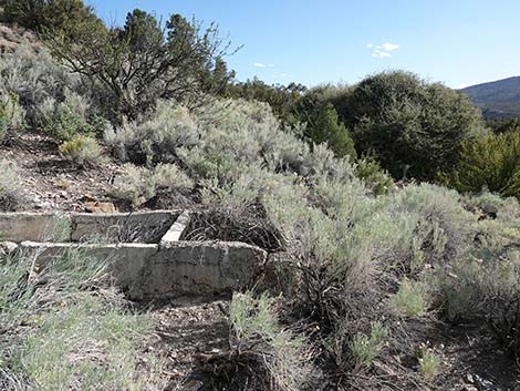
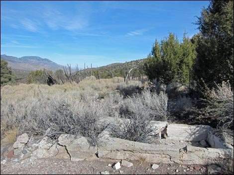
 Outside the corral, the first cement watering trough (view SW) |
 First cement trough (view S) |
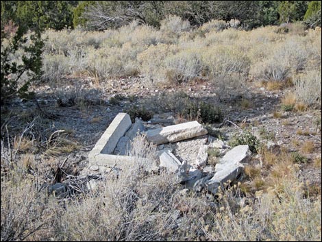
 Approaching the second cement watering trough (view SW) |
 Second cement trough (view SE) |
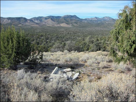
 At second cement trough, trail to spring forks (view SW) |
 One fork bends left to spring (view S) |
 Approaching Mormon Spring (view S) |
 Arriving at Mormon Spring (view S) |
 Mormon Spring (view S) |
 Mormon Spring; damp, but no free water (view E) |
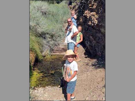 Happy hikers at the spring (view E) |
Mormon Corral
 |
 |
 |
 |
 |
 |
 |
 |
 |
 |
 |
 |
 |
 |
 |
 |
 |
 |
 |
 |
 |
 |
 |
 |
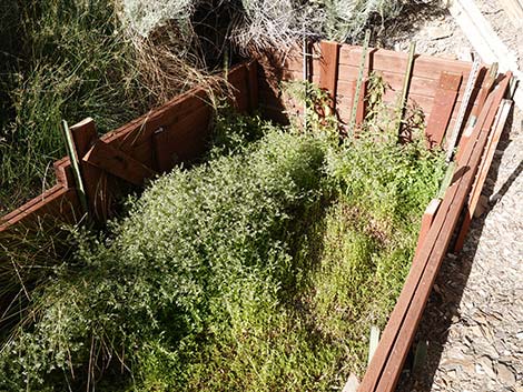
Cement Watering Troughs
 |
 |
 |
 |
|
 |
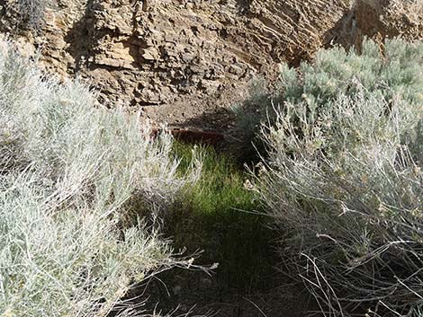
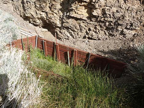
Mormon Well Spring
 Mormon Well in 2008 |
 Mormon Well in 2012 |
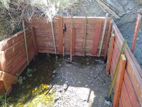 Mormon Well -- Rebuilt in 2021; not much free water |
Mormon Spring in 2022; dampness and forbs, but no free water |
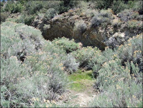 Outflow from the spring ... a good place to spot birds |
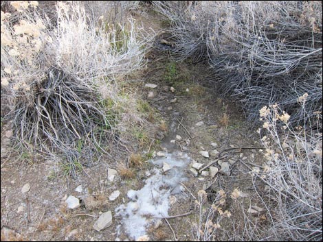 Frozen outflow from the spring ... a good place to spot birds |
Wildlife
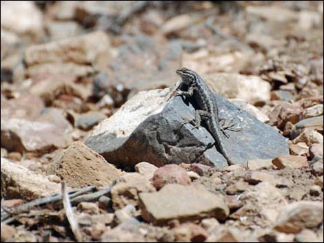 Western Fence Lizard |
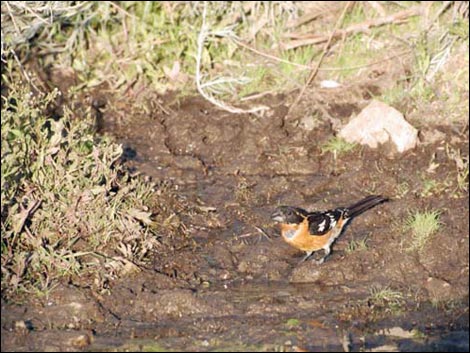 Black-headed Grosbeak Black-headed Grosbeak |
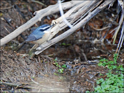 Red-breasted Nuthatch |
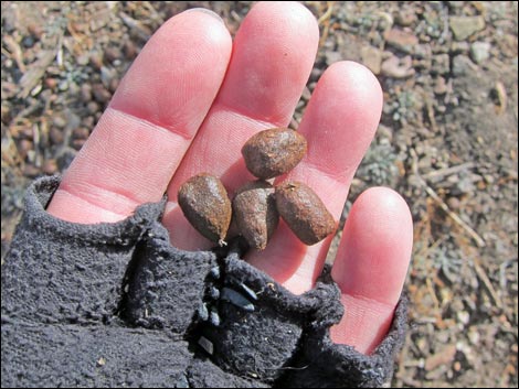 Bighorn Sheep scat |
Table 1. Hiking Coordinates Based on GPS Data (NAD27, UTM Zone 11S). Download Hiking GPS Waypoints (*.gpx) file.
| Wpt. | Location | UTM Easting | UTM Northing | Elevation (ft) | Point-to-Point Distance (mi) | Cumulative Distance (mi) | Verified |
|---|---|---|---|---|---|---|---|
| 01 | Roadside Trailhead | 669910 | 4057101 | 6,350 | 0.00 | . | GPS |
| 02 | Watering Trough Trailhead | 669923 | 4057231 | 6,301 | 0.00 | 0.00 | GPS |
| 03 | Mormon Corral | 670183 | 4056939 | 6,472 | 0.31 | 0.31 | GPS |
| 04 | Mormon Well Spring | 670181 | 4056896 | 6,448 | 0.06 | 0.37 | GPS |
| 02 | Watering Trough Trailhead | 669923 | 4057231 | 6,301 | 0.36 | 0.73 | GPS |
Happy Hiking! All distances, elevations, and other facts are approximate.
![]() ; Last updated 240324
; Last updated 240324
| Hiking Around DNWR | Hiking Around Las Vegas | Glossary | Copyright, Conditions, Disclaimer | Home |