Backroads Around Las Vegas, Desert National Wildlife Refuge
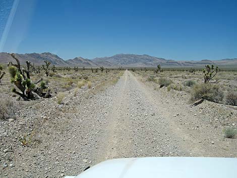
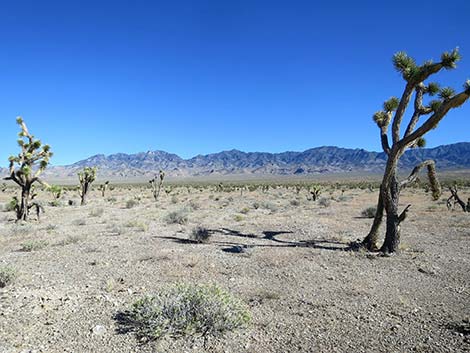
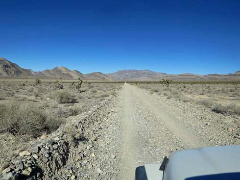
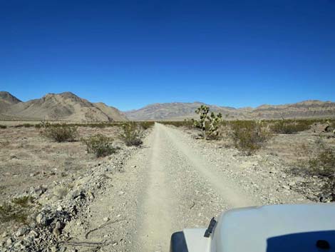
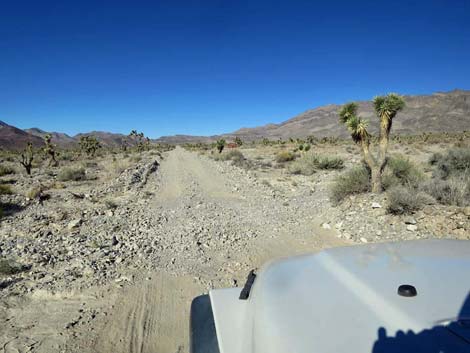
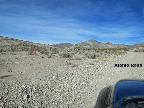
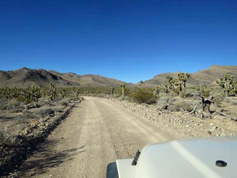
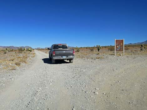 Alamo Road continuing past Hidden Forest Road (view N) |
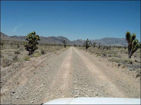
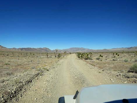
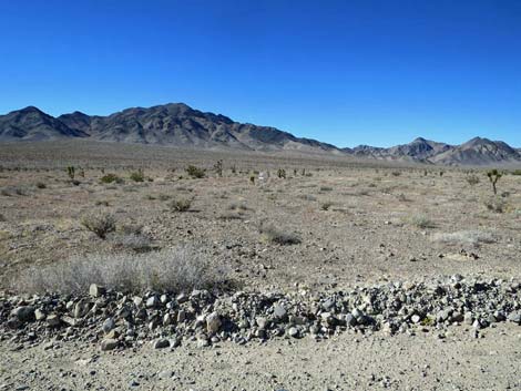
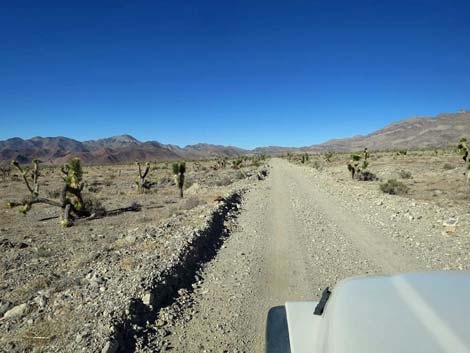
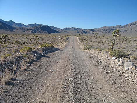
The Road -- Hidden Forest Road to Sheep Pass From Hidden Forest Road, Alamo Road heads north for 14.7 miles across a broad, flat valley before climbing to Sheep Pass between the Desert Range and the East Desert Range, for a total of 29.6 miles from Corn Creek. This part of the road is graded from time to time and usually is suitable for high-clearance vehicles. After storms, however, the road can be badly washed out at the many little wash-lets that cross the road, and rills across the road can sneak up and threaten to break axles of the unwary. This part of Alamo Road provides access to campsites, White Rock Rd, White Dirt Camp, Deadhorse Road (with campsites), and grand scenery north and south from Sheep Pass. Link to map. See Alamo Road for GPS coordinates. |
 Alamo Road (view N) |
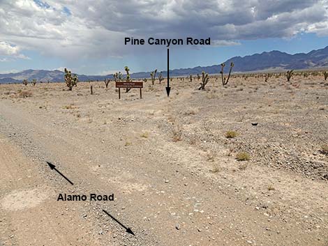
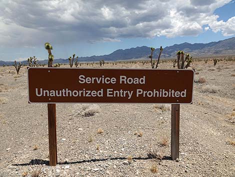
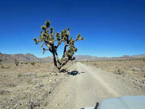
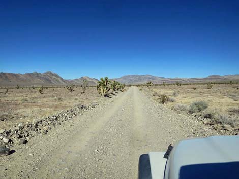
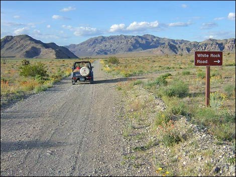
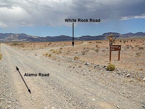
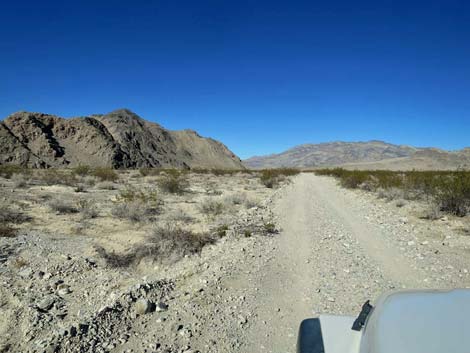
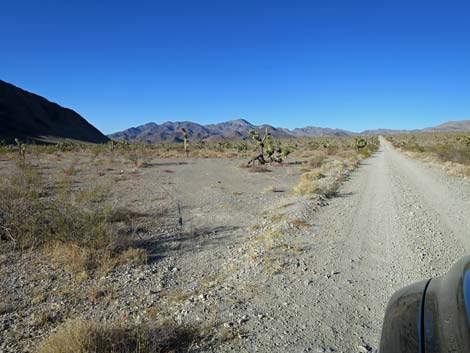
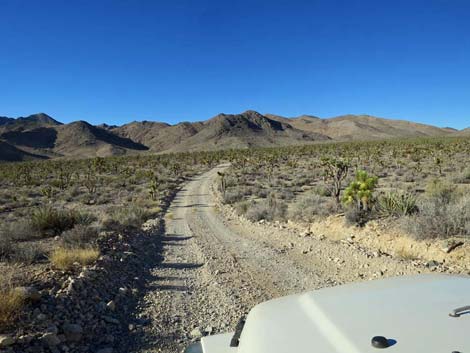
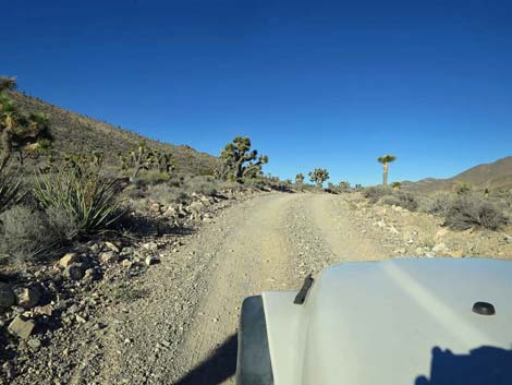
Alamo Road Continuing north from Hidden Forest Road, Alamo Road bends slightly left (more due north) as it runs out across a broad, nearly flat valley. Alamo Road passes Pine Canyon Road (Site 1226; 15.9 miles; service road only) to the east and then Slate Mine Road (Site 1227; 16.9 miles; service road only) to the west. Throughout this area, the wildflowers can be spectacular during good years. At the bottom of the valley, Alamo Road passes White Sage Road (Site 1228; 19.7 miles; service road only) to the west. White Sage Road runs out onto a playa at the base of the Desert Range to the west. Continuing across the bottom of the valley, Alamo Road passes White Rock Road (Site 0455; 20.6 miles), on the right. White Rock Road is a rough 2WD-HC road that runs up the bajada for 3.0 miles to the mouth of White Rock Canyon at the edge of the Sheep Range. Rocks in that area appear to be formed from volcanic ash, hence the white rocks. There is an undeveloped campsite at the end of the road. In the bottom of the valley, watch for Badger burrows in the roadside cutbanks. |
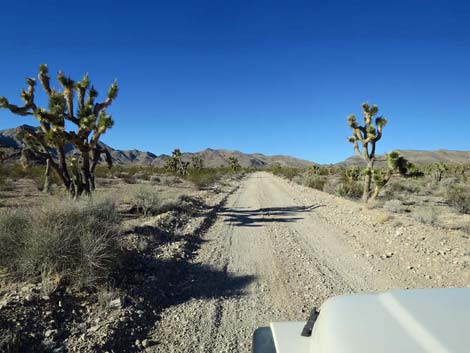
 Alamo Road approaching Pine Canyon Road (view N) |
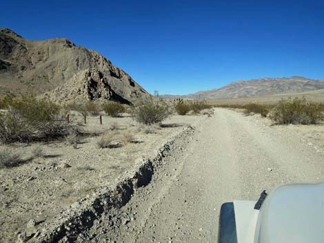
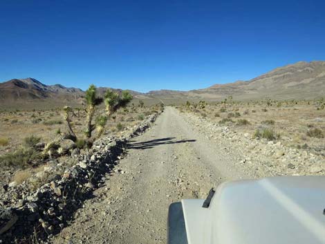
As Alamo Road passes White Sage Flats on the left, it passes the toe of a ridge on the left. Just before a large rocky outcrop on the left, Alamo Road passes White Dirt Camp Spur Road (Site 0738). Except for fencing and a stone fire ring, this is an undeveloped campsite tucked against the hillside with nice morning sun. Not far past White Dirt Camp, there is a small, undeveloped campsite with a fire ring on the left. Continuing past the rocky ridge, Alamo Road continues north across a gentle bajada to Deadhorse Road (Site 0552; 23.6 miles), on the right. Deadhorse Road is a 4WD road that runs for 9.2 miles up into the Sheep Range. In several places, the Deadhorse Road runs in a wash with deep, soft gravel. One time when I was several miles out, a soft bit of gravel at a narrow spot in the wash swallowed my Suzuki Samurai; I shifted into 4WD and drove out, but that would have been a bad spot in a 2WD. The road runs east 8.5 miles to a broad, open area with a big campsite and two trails (old roads). The road turns north and continues down a canyon for another 0.8 miles to a small campsite on the edge of a wash. |
 Alamo Road approaching Pine Canyon Road (view N) |
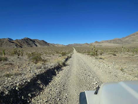
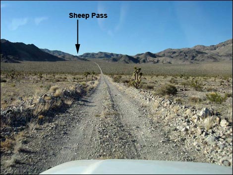
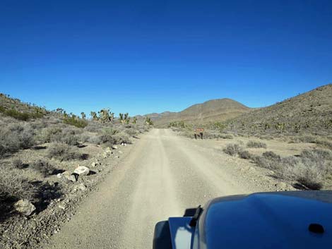
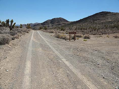
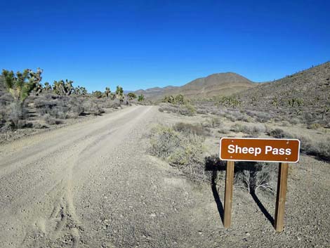
Continuing across the valley, Alamo Road runs north to pass the east edge of another mountain. The road wraps around the base of the hillside heading west, then turns north again and starts winging up the bajada towards the major canyon ahead in the distance. Alamo Road runs up into this broad canyon, which separates the Desert Range on the left from the East Desert Range on the right. At the top of the canyon, Alamo Road crosses Sheep Pass (Site 0553; 29.5 miles) with a campsite. The pass is unremarkable, but this is the highest point on Alamo Road. Although unremarkable atop the pass, short walks north or south down the road provide grand views into the valleys below. Return to Alamo Road or continue to the next road segment. |
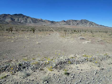
 Pine Canyon Road (view NE from Alamo Road) |
 Pine Canyon Road is Service Road only (view NE) |
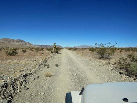
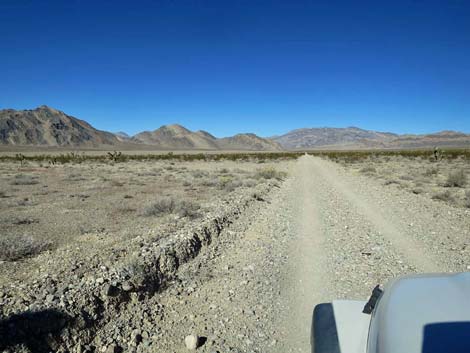
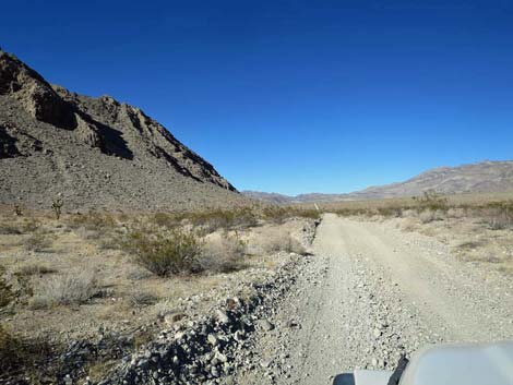
 Long, straight road crossed by a few sneaky little gullies (view N) |
 Alamo Road (view N) |
 Alamo Road (view N) |
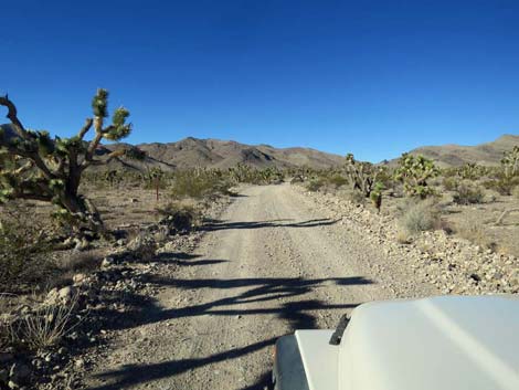
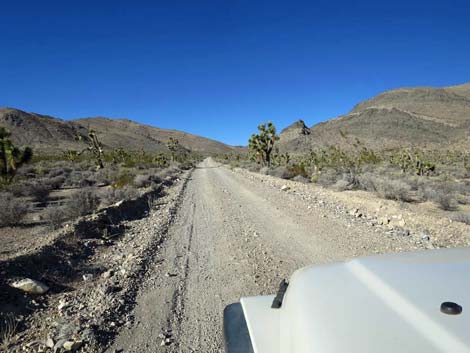
 Alamo Road approaching Slate Mine Road (view N) |
 Another service road (view NW from Alamo Road) |
 Alamo Road (view N) |
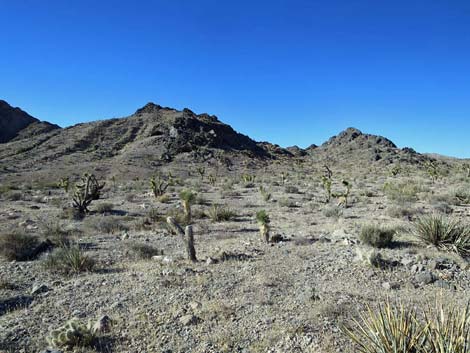
 Grand scenery (view NE) |
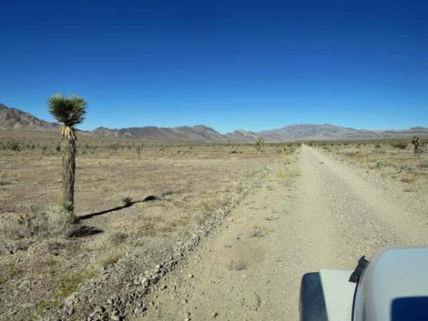
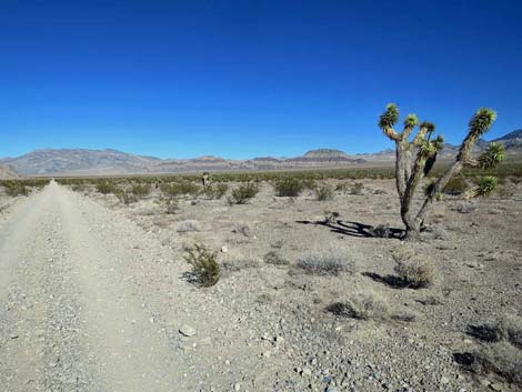
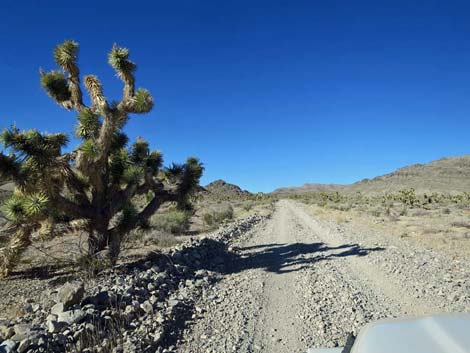
 Joshua tree along Alamo Road (view N) |
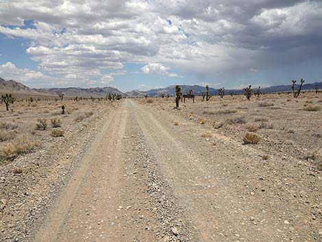
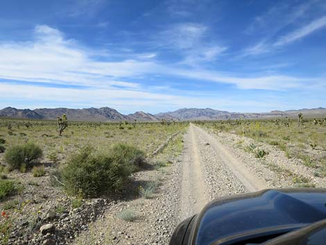
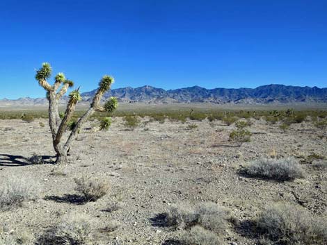
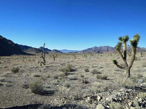
 Alamo Road traverses a grand, open landscape (view N) |
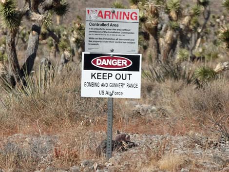
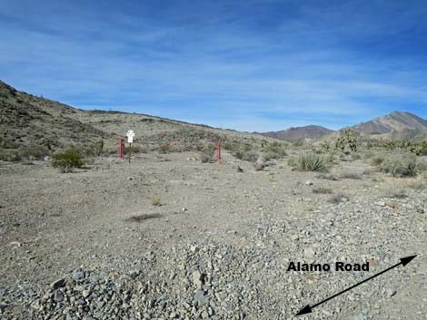
 Boundary sign (view W from Alamo Road) |
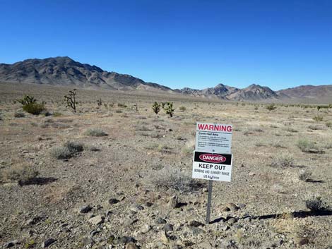 Boundary sign (view NW) |
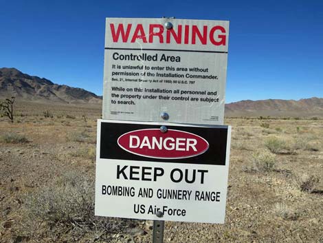 Bombing and Gunnery Range boundary sign (view NW) |
 "But on the other side it didn't say nothing; That side was made for you and me" -- Woody Guthrie |
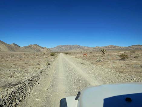
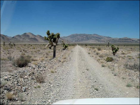 Still a long, straight road (view N) |
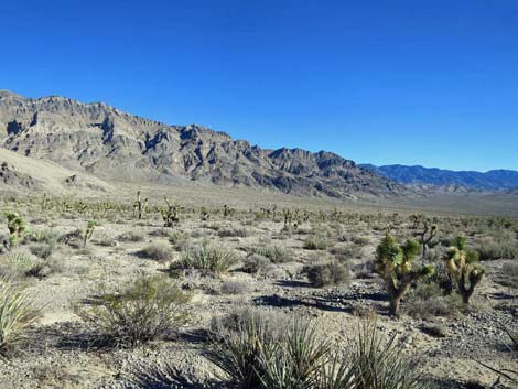
 Grand scenery (view N) |
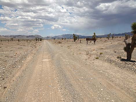
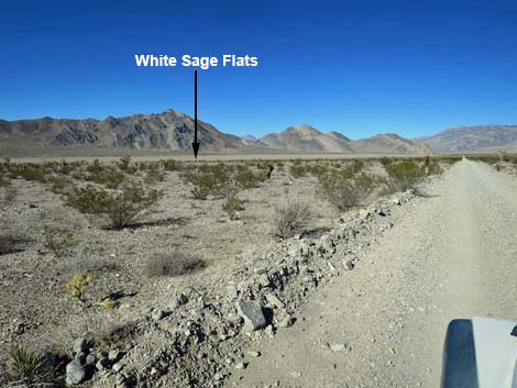
 Alamo Road approaching White Sage Flats service road (view N) |
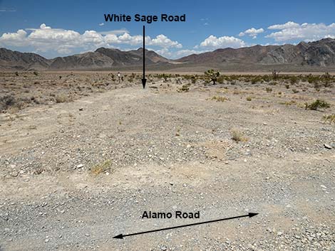 Alamo Road at White Sage Road (view N) |
 White Sage Flats in the distance (view WW from Alamo Road) |
 Grand scenery (view N) |
 Grand scenery (view NE) |
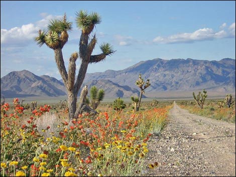 The wildflowers can be extraordinary |
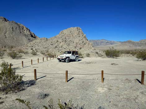
 Alamo Road approaching White Rock Road (view N) |
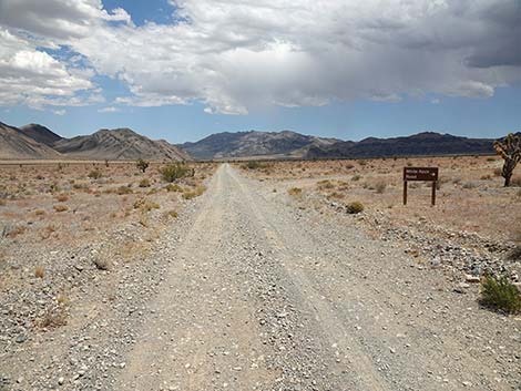 Alamo Road at White Rock Road (view N) |
 Alamo Road at White Rock Road (20.6 miles N of Corn Creek) |
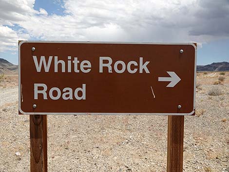 White Rock Road sign (view N) |
 White Rock Road (NE from Alamo Road) |
 Alamo Road (view N) |
 Alamo Road approaching rocky outcrop on left (view N) |
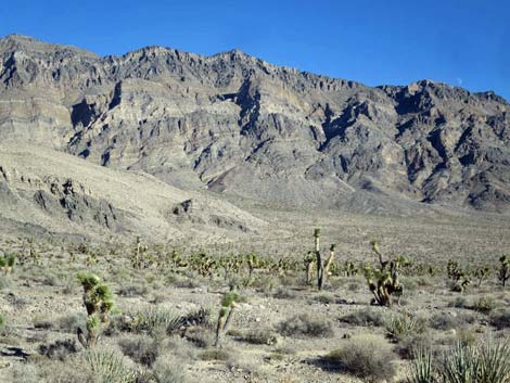
 Grand scenery across the valley (view NE) |
 Alamo Road approaching White Dirt Campsite (view N) |
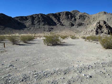 Alamo Rd at White Dirt camp (view W; 22.0 miles N of Corn Creek) |
 White Dirt Campsite (view W) |
 White Dirt Campsite (view N) |
 Alamo Road beyond White Dirt Campsite (view N) |
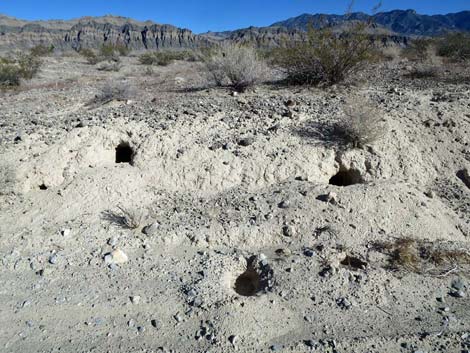 Badger burrows in the road-cut bank (view E) |
 Small campsite 0.6 mi N of White Dirt Camp (view N) |
 Alamo Road (view N) |
 Grand view out across the bombing range (view NW) |
 Alamo Road (view N) |
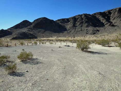
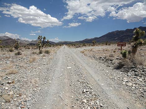 Alamo Road, approaching Deadhorse Road (view N) |
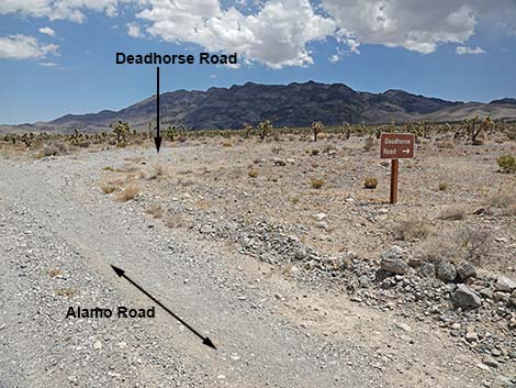 Alamo Road at Deadhorse Road (23.6 miles N of Corn Creek) |
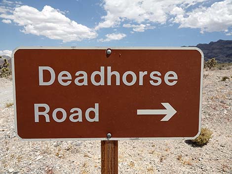 Deadhorse Road sign (view N) |
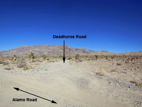 Deadhorse Road (view NE from Alamo Road) |
 Starting towards Sheep Pass |
 Alamo Road beginning to climb towards Sheep Pass (view N) |
 Alamo Road beginning to climb towards Sheep Pass (view N) |
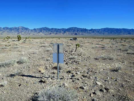
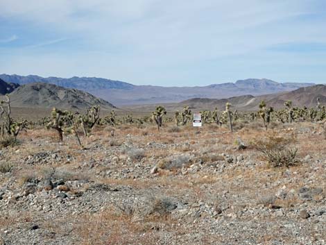 A sign in the distance (view W) |
 Reminder: Bombing Range -- Keep Out |
 Sheep Pass on the horizon |
 Grand scenery (view E) |
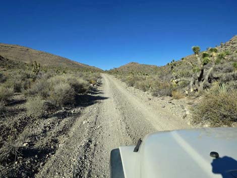
Alamo Road climbing into the hills (view N) |
 Alamo Road with Joshua tree (view N) |
 Grand scenery (view NW) |
 Grand scenery (view SE) |
 Grand scenery (view SE; zoom) |
 Side road left with a gate (view NW) |
 Gate blocking side road to military base (view NW) |
 Alamo Road with Joshua trees (view N) |
 Alamo Road climbing towards Sheep Pass (view N) |
 Alamo Road climbing towards Sheep Pass (view N) |
 Alamo Road climbing towards Sheep Pass (view N) |
 Alamo Road climbing towards Sheep Pass (view N) |
 Alamo Road climbing towards Sheep Pass (view N) |
 Alamo Road nearing Sheep Pass (view NE) |
 Alamo Road approaching Sheep Pass (view N) |
 Alamo Road at Sheep Pass (view N) |
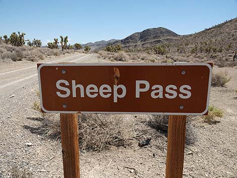 Sheep Pass sign (view N) |
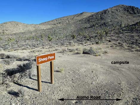 Sheep Pass campsite (view E from Alamo Road) |
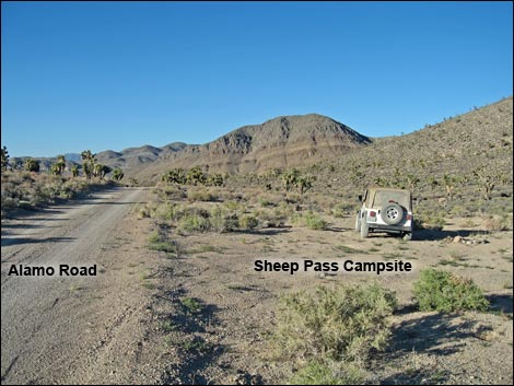 Alamo Road at Sheep Pass (29.5 miles N of Corn Creek) |
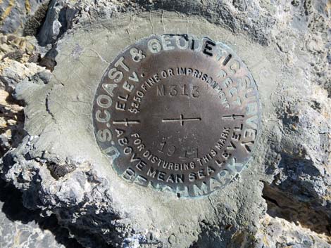 Benchmark atop Sheep Pass |
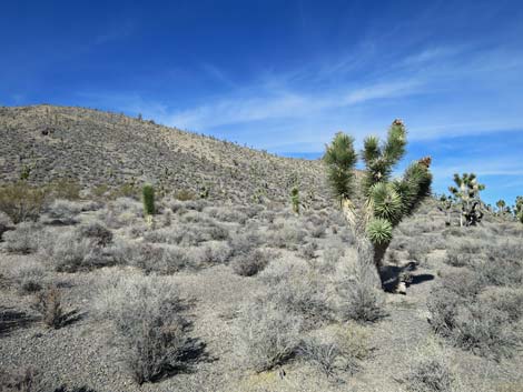 Nice scenery atop Sheep Pass (view NW) |
 Alamo Road continuing past Sheep Pass (view N) |
Happy Hiking! All distances, elevations, and other facts are approximate.
![]() ; Last updated 240324
; Last updated 240324
| Backroads Around DNWR | Hiking Around Las Vegas | Glossary | Copyright, Conditions, Disclaimer | Home |