Backroads Around Las Vegas, Desert National Wildlife Refuge
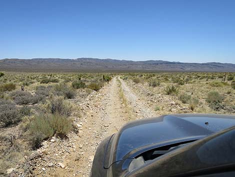
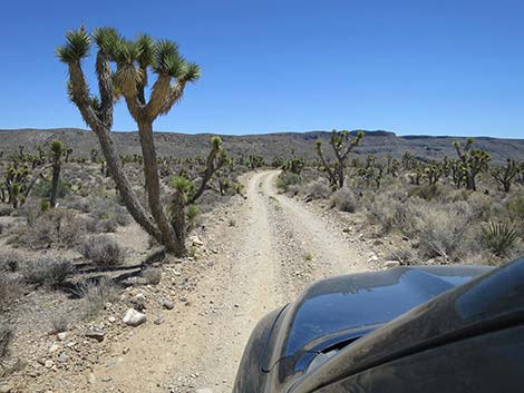
 Pine Nut Road departing the last campsite (view E) |
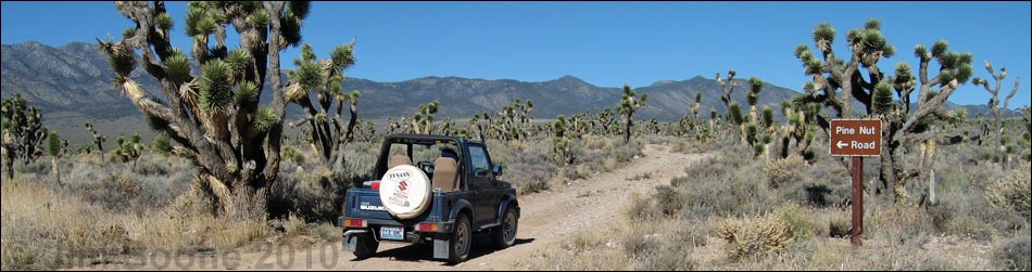
Overview Pine Nut Road is a 6-mile, bumpy dirt road on the east side of the Sheep Range that runs north from Mormon Well Road to Pine Nut, a traditional camping area. Pine Nut is just inside the Pinyon-Juniper Woodland zone, which means the campsites are shaded by Single-leaf Pinyon and Utah Juniper. The road usually requires only a high-clearance vehicle, but it can get troublesome crossing the first large wash; call the refuge headquarters for current conditions. Pine Nut Road provides access to the east face of Sheep Mountain, the namesake of the mountain range. This is a nice side road for a drive in the desert and an easy way to get away from town and camp out in the desert with some shade. Presented here are photos of the return down the road because it always looks different on the way back. For a detailed description of the route, including directions, maps, GPS coordinates, and photos, see Pine Nut Road - Northbound. Link to map. |
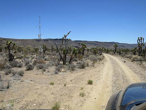
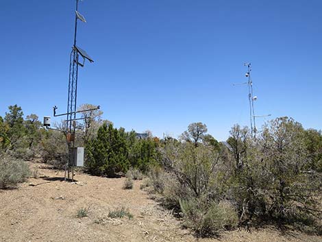 Pine Nut Road returning past the upper weather station (view NE) |
 Pine Nut Road continuing down through the Pine Nut camp area |
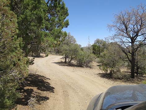
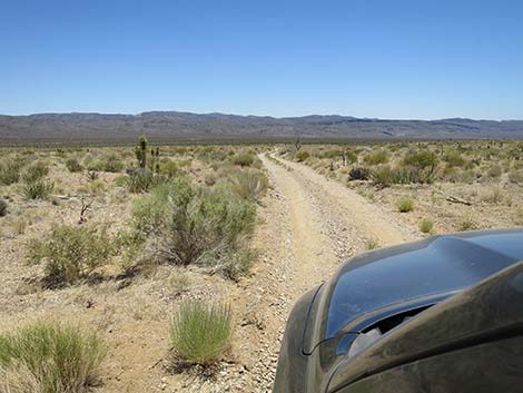
 Pine Nut Road exiting from the dense-tree area (view SE) |
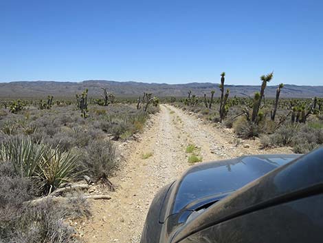
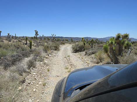
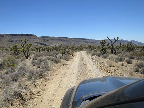
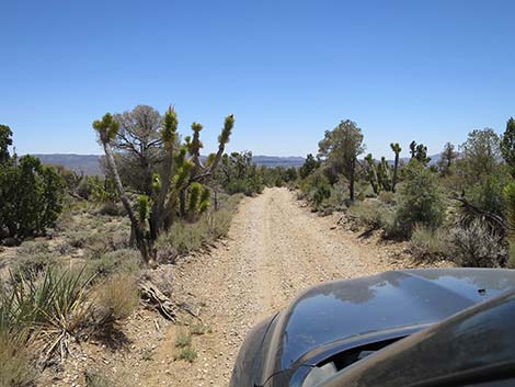 Pine Nut Road returning to the Joshua Tree zone (view SE) |
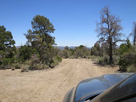
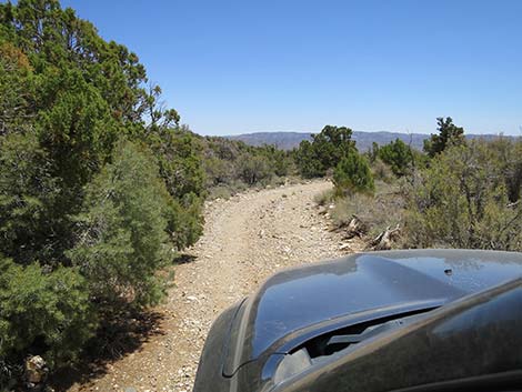
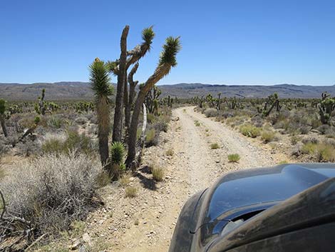
 Pine Nut Road passing the last tall pinyon pine tree (view SE) |
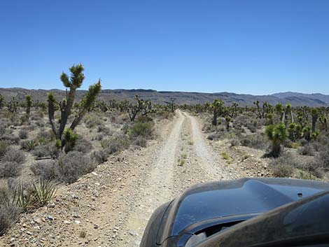
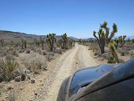
 Pine Nut Road back in the Yucca Forest (view SE) |
 Pine Nut Road back in the burn zone (view SE) |
 Pine Nut Road back in the burn zone (view SE) |
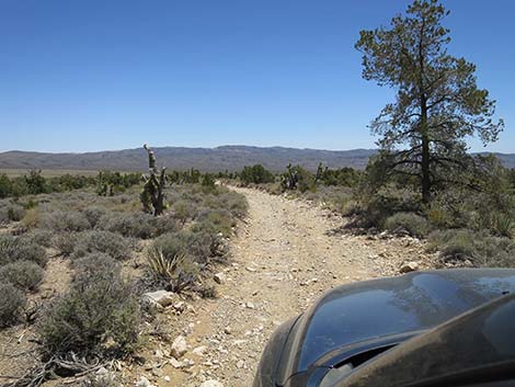
 Pine Nut Road back in the not-burned zone (view SE) |
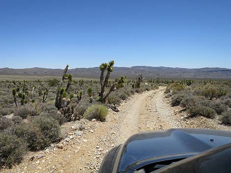
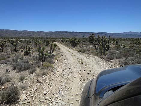
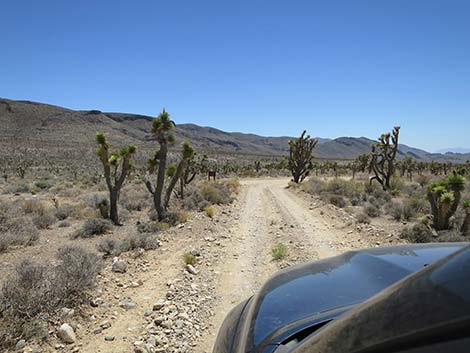
 Lots of Joshua Trees (view SE) |
 Lots of Joshua Trees (view SE) |
 Dipping back into the sometimes problematic wash (view SE) |
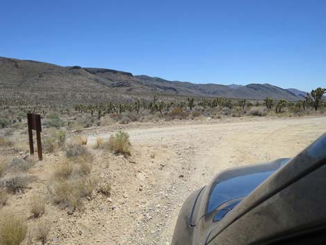
 Pine Nut Road passing Yucca Forest Trailhead parking (view SE) |
 Pine Nut Road (view S) |
 Pine Nut Road (view S) |
 Pine Nut Road approaching the lower weather station (view S) |
 |
 |
 Pine Nut Road approaching Mormon Well Road (view S) |
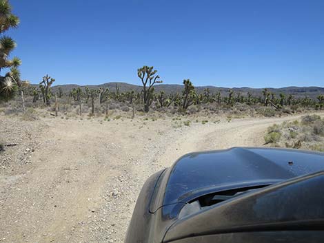
 Pine Nut Road at Mormon Well Road (view S) |
Happy Hiking! All distances, elevations, and other facts are approximate.
![]() ; Last updated 240324
; Last updated 240324
| Hiking Around DNWR | Hiking Around Las Vegas | Glossary | Copyright, Conditions, Disclaimer | Home |