Hiking Around Las Vegas, Grand Canyon National Park
 |
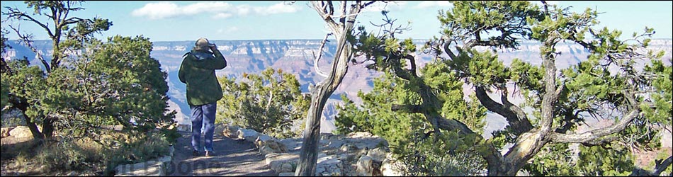
Overview If hikers want easy grandeur, the Rim Trail is the place to go. This trail runs within a few feet of the lip of the South Rim from Yaki Point to Hermits Rest Trailhead, and much of the 13.5-mile trail is nearly level. Rim Trail - Yaki Point to Yavapai Point On this page, photos are presented of the east end of the Rim Trail from Yaki Point to Yavapai Point. For links to the rest of the trail, see Rim Trail. Link to maps. |
 Yaki Point (view N) |
 Between Yaki Point and Kaibab Trailhead (view SW) |
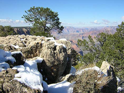
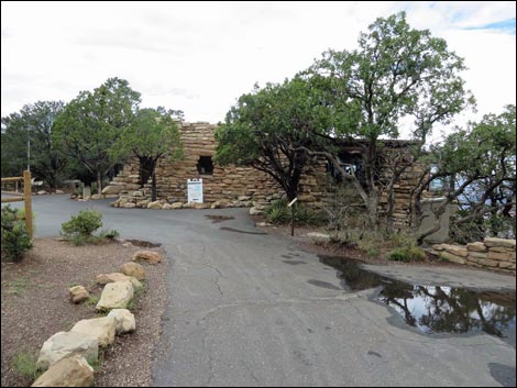
 Pipe Creek Vista (view NW) |
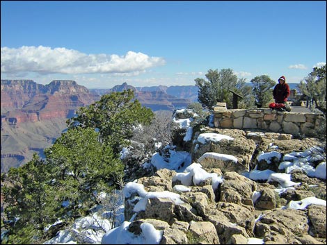
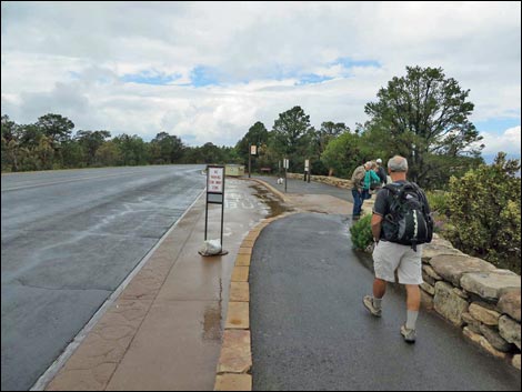
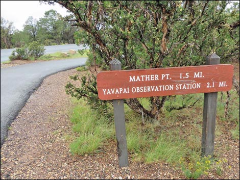 Sign departing Pipe Creek Vista (view NW) |
 |
 |
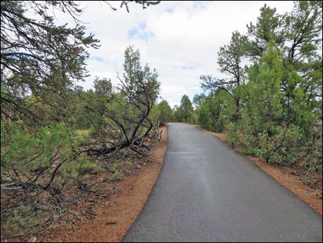
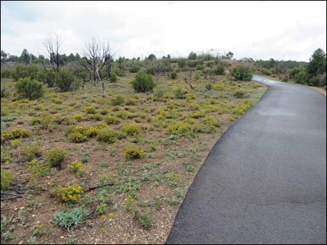 Burn area (view NW) |
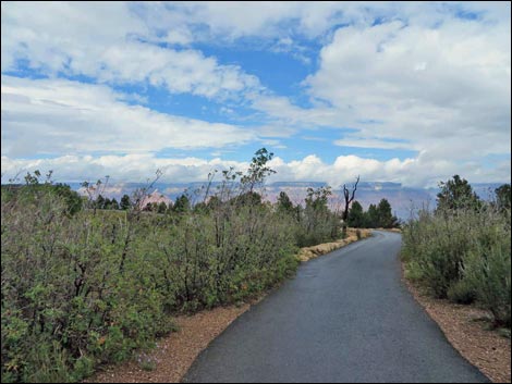
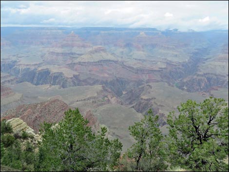
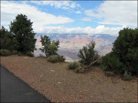 View into the Grand Canyon (view NW) |
 Burn area (view NW) |
 View into the Grand Canyon (view NW) |
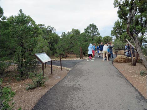
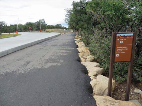
 Passing one of several trail junctions to Visitor Center (view N) |
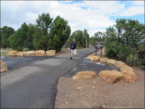
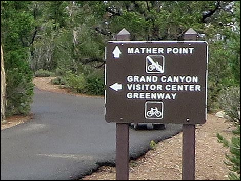 Grand Canyon Visitor Center Greenway trail junction (view N) |
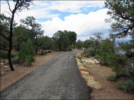
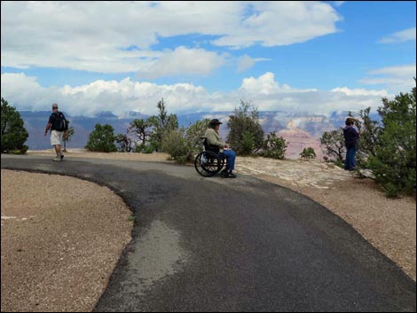 It is nice to have an ADA-compliant trail |
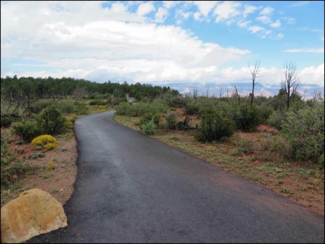
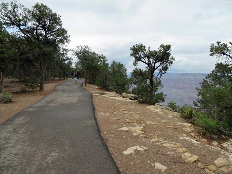
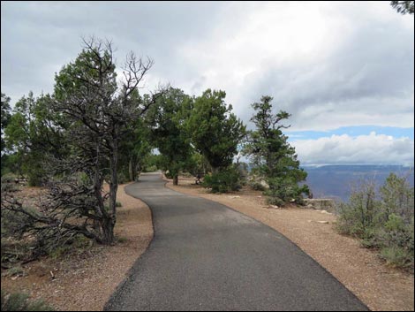 Trail runs along the rim |
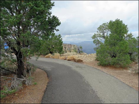 Trail runs along the rim |
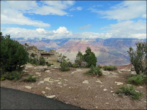
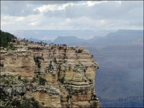 Mather Point from afar (view NW) |
 Trail becomes more crowded |
 Approaching Mather Point (view NW) |
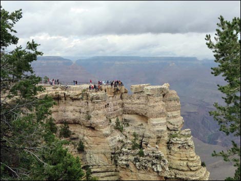
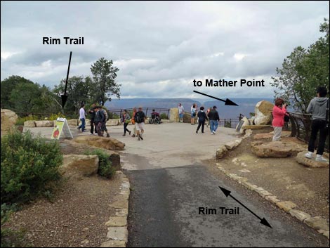 Main trail junction Mather Point (view NW) |
 Sign departing Mather Point area (view NW) |
 Sign and trail (view NW departing Mather Point area) |
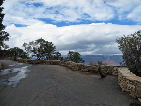
 Trail runs along the rim in most places |
 View of Colorado River (view N) |
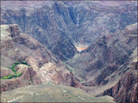 Close-up view of Colorado River (view N) |
 Trail along the rim |
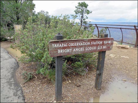
 Approaching Yavapai Point (view NW) |
 Yavapai Point Geology Museum (view NW) |
 More to come ... |
Happy Hiking! All distances, elevations, and other facts are approximate.
![]() ; Last updated 140928
; Last updated 140928
| Hiking the Grand Canyon | Hiking Around Las Vegas | Glossary | Copyright, Conditions, Disclaimer | Home |