Hiking Around Las Vegas, Gold Butte National Monument
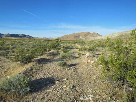
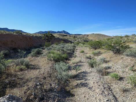
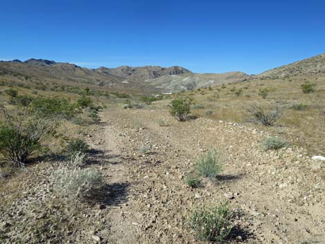
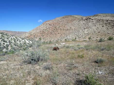
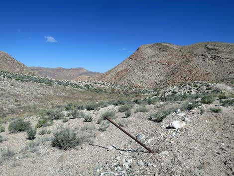
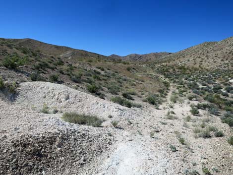
 Tramp Mine Road at Bauer Mine Trailhead (view S) |
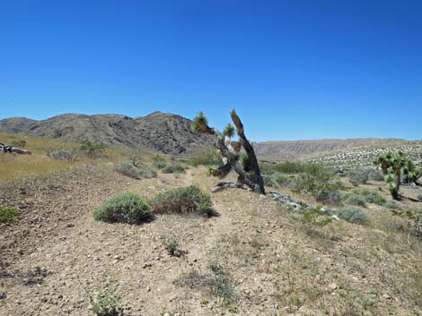
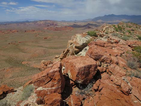
Overview Bauer Mine is not particularly interesting in and of itself, but it is a delightful 6- to 11-mile, in-and-out hike, over easy terrain into a seldom visited area of Gold Butte with curious geology, grand views, and a bit of mining history. The mine area, proper, is in the bottom of a valley, and from there hikers have several options, including climbing onto one or both of the surrounding higher ridges. Bauer Mine dates from 1922 and was prospected as a source of Magnesite, a magnesium carbonate (MgCO3) mineral. Magnesite can be burned to form magnesium oxide (MgO), a solid mineral with high temperature tolerance used as a lining for smelters and crucibles. Perhaps the prospectors intended to use it in local smelters. The ore, however, was low quality, and the site did not produce anything of value. Link to map. |
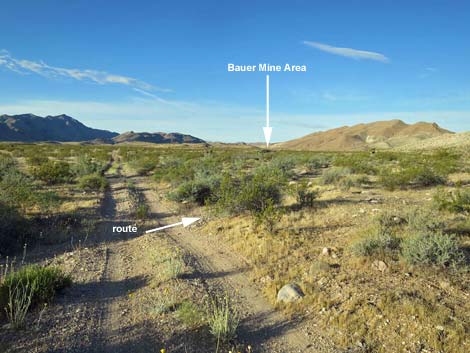
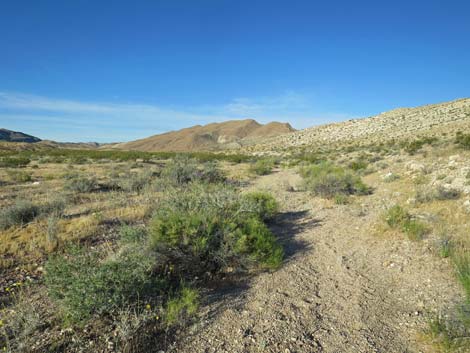
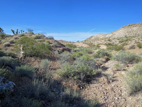
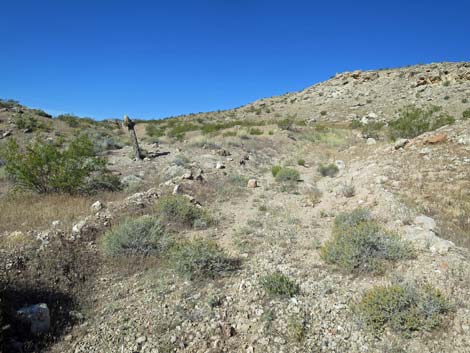
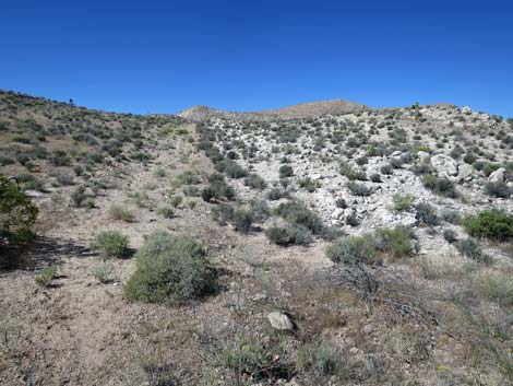
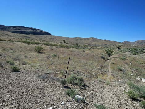
 Bauer Mine Route (view SW from Tramp Mine Road) |
Watch Out Other than the standard warnings about hiking in the desert, ... this is a fairly safe area with no unusual hazards. There is a shallow mine shaft with signs but no fencing, but falling in would not be fatal. There are also several adits, but they have mostly collapsed and are not every enticing. Stay out; stay alive. This is a wild and remote area without services of any kind (no restrooms, no water, no gas, no food). Bring what you need to survive. Be prepared and be self-reliant. Someone will find you eventually if you stay on a main road, but be prepared to survive alone for a day or two. Cell phones only work along parts of the paved road. While hiking, please respect the land and the other people out there, and try to Leave No Trace of your passage. Also, this is a remote hike, so be sure to bring what you need of the 10 Essentials. |
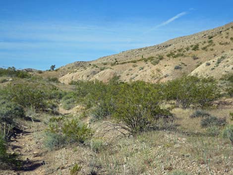
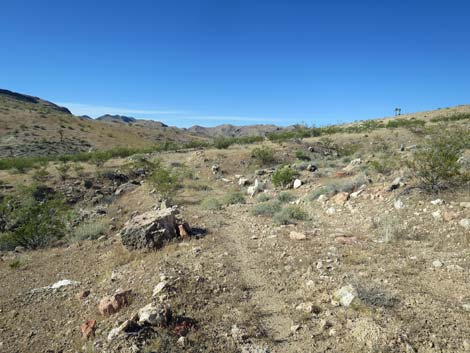
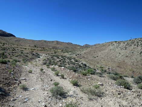
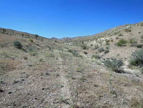
 Route starts on old road or in the wash (view SW) |
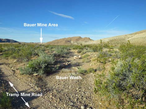
Getting to the Trailhead Bauer Mine is located out in Gold Butte National Monument at the northeast end of Lake Mead, about 2.5 hours northeast of Las Vegas in a wild, remote, and scenic area. From town, drive out to Gold Butte National Monument and drive south on the paved Gold Butte Road 21 miles to the end of the pavement at Whitney Pocket. From there, continue south on the unpaved Gold Butte Road for 7.2 miles to Mud Wash Road, a signed turnoff to Devils Throat and Red Bluff Spring. Turn right onto Mud Wash Road and drive southwest 0.3 miles to a fork. Devils Throat Road stays left, while Mud Wash Road bends right. Continue west another 2.1 miles to Tramp Mine Road, on the left. Turn left onto Tramp Mine Road and drive south 0.8 miles to Bauer Wash, a broad but fairly inconspicuous wash crossing. Find a good place to pull off the road and park without driving on too many bushes. Park here; this is the trailhead. |
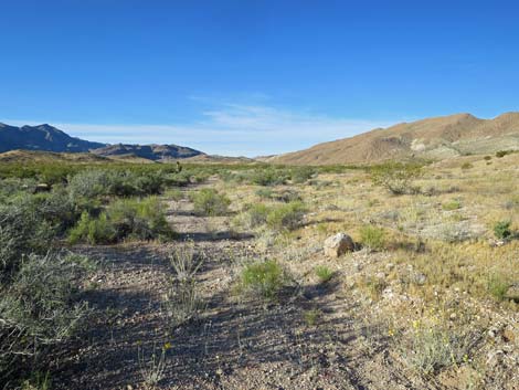
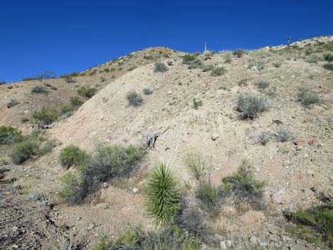
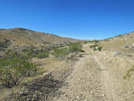
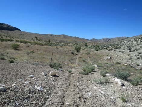
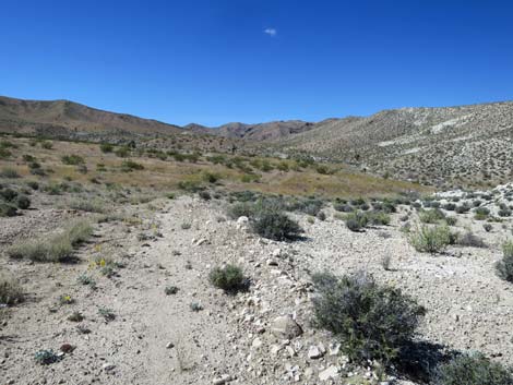
 Old Bauer Mine Road (view SW) |
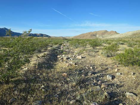
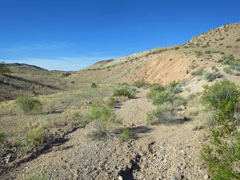
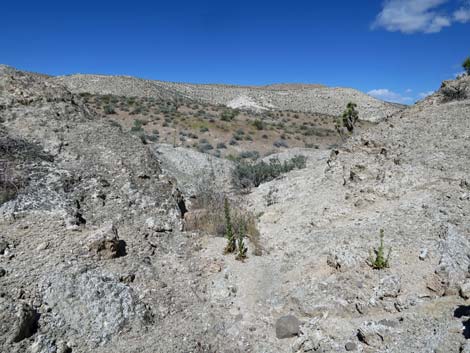
The Hike From the trailhead (Table 1, Waypoint 01), the route starts either on the old Bauer Mine Road or in Bauer Wash. If starting on the old road, it soon merges into the wash and disappears. Heading southwest, the route always stays in the main wash. Initially the landscape is open with nice views all around, including back towards Virgin Peak. Before long, the wash runs up against the side of a high, unnamed ridge (Wpt. 02) on the right. Sharp-eyed hikers may notice large stone cairns and wooden 4x4 posts on the hillsides and ridgeline. These are historic mining claim markers, the details of which have been lost to time. By about 1.0 miles out, a ridge on the left increases and the wash becomes captured in a shallow canyon (Wpt. 03). By about 1.3 miles out, remnants of the old Bauer Road (Wpt. 04) become apparent again, and it is easier to hike on the old road than the wash, but everything goes that same way. Historic mining claim markers can be found on the low ridge to the left too. |
 |
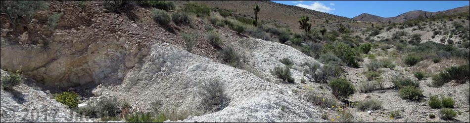
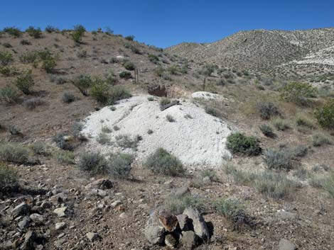
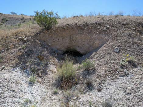
Eventually the old road climbs somewhat steeply onto a low saddle (Wpt. 05; 2.2 miles out) where Silverleaf Sunrays reveal the presence of gypsum in the soil, but as usual, the mineral is not present in economical quantities. The old road dips and continues southwest into an area with white mineral outcrops. At about 2.4 miles out, prospects can be found on off both side of the road that mark the northeast end of the Bauer Mine area. On the south edge of the road (2.5 miles out), a pair of adits (Wpt. 06) burrow under a hard layer of caprock. Both appear to be short based on the small tailings piles, but may have caved in. On the north side of the road, opposite the adits, the same deposits are exposed on the surface and explored by extensive trenching with bulldozers. On the hillside to the south, prospectors also sliced the hillside with a bulldozer trying to expose another ore deposit. |
 |
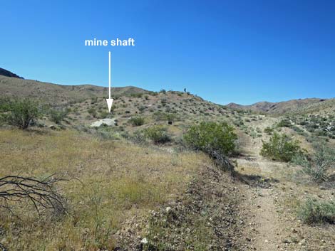
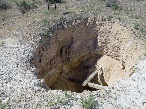
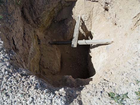
The old road continues southwest to dip and crosses a wash that flows northwest cutting a canyon through the long, unnamed ridge to the north. To the left of the canyon, the highpoint is Peak 862, and to the right of the canyon, Peak 927 is the highpoint. Both peaks are potential "add-ons" to this hike. After crossing the wash, the road climbs to the south. At about 2.7 miles out, the road passes through an old barbed-wire fence (Wpt. 07) that cuts across the area and spans the entire valley from cliff to cliff. The road continues to climb, and shortly passes the mine shaft (Wpt. 08; 2.7 miles out), a short way off the road to the south. The shaft is marked with signs, but no fencing, and it is not deep. In the shaft, there are crossed wooden planks that might have served as a work platform, and it appears the miners at least intended to use a hand-crank and rope as lifting mechanism to raise buckets of tailings and ore out of the mine. The metal crank-handle and wooden rope winder lie on the ground adjacent to the shaft. Please respect this bit of Nevada's mining history. |
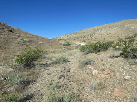
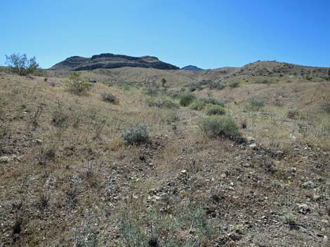
 Bauer Wash (view SW) |
At about 3.0 miles out, a 200-yard spur road cuts southeast following a wash. This road eventually cuts up the hillside to the top of a small knob and ends. The road exposes gypsum-rich soils (notice Silverleaf Sunrays, Palmer's Phacelia, and Parry's Sandpaper Plant), but there were no prospects in this area. The main road continues southwest through the rest of the mining area. There are scattered prospects along the way, and one large trench (about 3.5 miles out) on the right, but nothing of note. At about 3.7 miles out, the road climbs onto the toe (Wpt. 09) of the low ridge on the left (south). From here, one old mining road wraps around the ridge and continues southeast into the next valley were claims were staked but never worked. In the opposite direction, an old road runs west to connect with Red Bluff Spring Road. Both of these roads are fairly easy to follow on foot, but after 100 years of disuse, they are fading back into the desert soils. From the toe of the low ridge (Wpt. 09), hikers have several options. The most obvious choice is to turn around and return to the trailhead (Wpt. 01) making for a 7.4-mile day. |
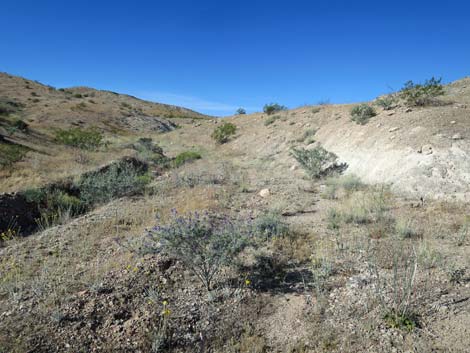
 Bauer Wash (view SW) |
Another option is to continue on the road around the ridge and follow it east and then south 1.3 miles to where it ends on a hillside for no apparent reason. The old road passes some interesting limestone outcrops mixed with Permian-age Red Bed sandstone. Returning to the trailhead (Wpt. 01) over the same route makes for a 10-mile day, but an off-trail shortcut is an option. From the road on the toe (Wpt. 09) of the ridge, hikers might turn west and follow the old road, then a wash, then the old road again, all the way to Red Bluff Spring Road. This could be facilitated with a car shuttle making for a 6-mile day. From the road on the toe (Wpt. 09) of the ridge, hikers might turn northwest and climb onto the sharp ridge, which can be followed northeast to Peak 862. The peak offers grand views south to the Permian Red Bed sandstones and north to the Jurassic sandstones of Mud Wash Valley. For a somewhat rougher finale, consider catching Peak 927 on the way back to the trailhead (Wpt. 01). |
 Bauer Wash with large mining claim cairn (view SW) |
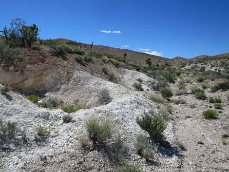
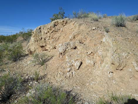 Mineral deposit (possibly gypsum) along the wash (view W) |
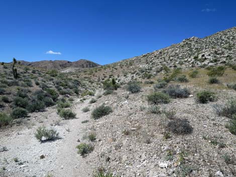
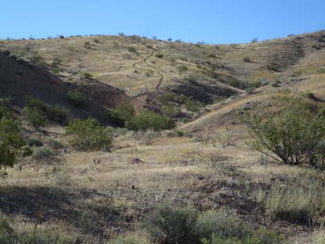 Feral burro trail running up the hillside (view S) |
 Bauer Wash (view SW) |
 Wooden mining claim marker on the hillside (view W) |
 Bauer Wash (view SW) |
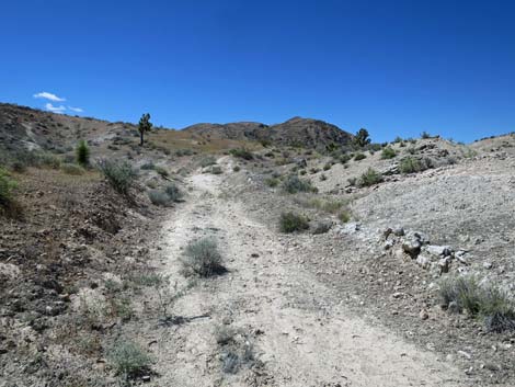
 Historic Bauer Mine Road (view SW) |
 Historic Bauer Mine Road (view SW) |
 |
 |
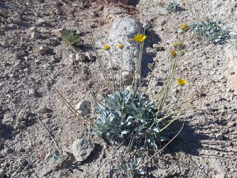 Silverleaf Sunray |
 Low saddle on historic Bauer Mine Road (view SW) |
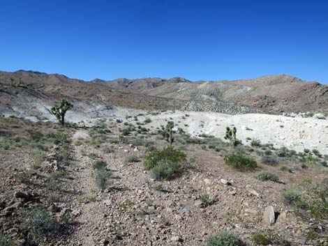 Entering the Bauer Mine area (view SW) |
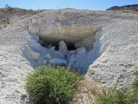 Adit along the old road (view S) |
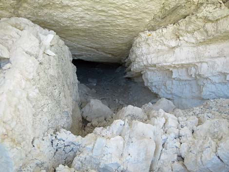 Adit along the old road (view S) |
 Historic mining debris (view NW) |
 Bauer Mine Road (view SW) |
 Bauer Mine Road (view SW) |
 Old barbed-wire fence (view SW) |
 Old barbed-wire fence (view N) |
 Old barbed-wire fence (view S) |
 Bauer Mine Road (view SW) |
 Approaching the Bauer Mine shaft (view SW) |
 Tailings pile at Bauer Mine shaft (view SW) |
 Bauer Mine shaft (view SW) |
 Bauer Mine shaft (view down) |
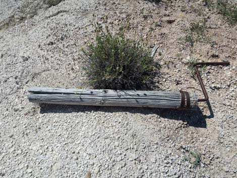 Part of the bucket-lift mechanism at Bauer Mine shaft (view SW) |
 More adits along Bauer Mine Road (view SW) |
 Adit along Bauer Mine Road (view S) |
 Bauer Mine Road (view SW) |
 Bauer Mine Road (view SW) |
 Gypsum soils with gypsum-soil-loving plants (view S) |
 More adits along Bauer Mine Road (view SW) |
 Bauer Mine Road (view SW) |
 Bauer Mine Road (view SW) |
 Highpoint near turn-around (Wpt. 09; view SW towards Lime Ridge) Highpoint near turn-around (Wpt. 09; view SW towards Lime Ridge) |
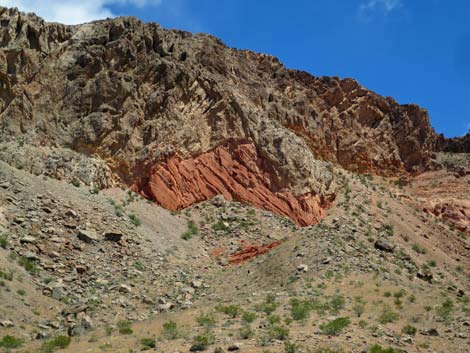 Permian Red Beds in limestone cliff |
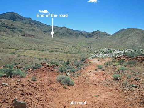 Old mining road continues into the distance (view S) |
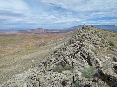 Ridgeline (view N towards Peak 862) |
 Ridgeline (view N towards Peak 927) |
Table 1. Hiking Coordinates Based on GPS Data (NAD27, UTM Zone 11S). Download Hiking GPS Waypoints (*.gpx) file.
| Wpt. | Location | UTM Easting | UTM Northing | Elevation (ft) | Point-to-Point Distance (mi) | Cumulative Distance (mi) |
|---|---|---|---|---|---|---|
| 01 | Trailhead | 752856 | 4035192 | 2,260 | 0.00 | 0.00 |
| 02 | Toe of High Ridge | 752665 | 4035011 | 2,281 | 0.17 | 0.17 |
| 03 | Entering Canyon | 752107 | 4033849 | 2,407 | 0.82 | 0.99 |
| 04 | Old Road | 752100 | 4033445 | 2,448 | 0.28 | 1.27 |
| 05 | Low Saddle | 751460 | 4032173 | 2,687 | 0.98 | 2.25 |
| 06 | Adits | 751262 | 4031788 | 2,619 | 0.30 | 2.55 |
| 07 | Barbed-wire fence | 751186 | 4031585 | 2,620 | 0.15 | 2.70 |
| 08 | Shallow Mine Shaft | 751140 | 4031342 | 2,629 | 0.17 | 2.87 |
| 09 | Road bends Around Ridge | 750754 | 4030495 | 2,744 | 0.78 | 3.65 |
| 01 | Trailhead | 752856 | 4035192 | 2,260 | 3.65 | 7.30 |
Happy Hiking! All distances, elevations, and other facts are approximate.
![]() ; Last updated 240325
; Last updated 240325
| Hiking Around Gold Butte | Hiking Around Las Vegas | Glossary | Copyright, Conditions, Disclaimer | Home |