Hiking Around Las Vegas, Gold Butte National Monument
 |
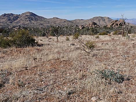
Overview Cedar Basin is a scenic and historic valley just over the mountains to the south of Gold Butte Townsite. The Tramp and Fork Fire in 2005 only scorched the west edge of the valley, so most of the "cedars" remain, which are actually Utah Junipers and Singleleaf Pinyon Pine. Here, at about 4,200 feet elevation, the Pinyon-Juniper Forest shares this elevation zone with lots of Shrub Live Oak and a few Joshua Trees. Cedar Basin Road provides access to the area, and side roads run off to interesting places such as the Radio Crystal Mine site (Table 1, Site 01), Cedar Basin Corral (Site 02), Grapevine Spring (a catch basin; Site 03), the Granite Domes (Site 04), and the trailhead to Jumbo Peak (Site 05). This is a nice place to explore and camp, so plan to spend a weekend looking for historic sites and natural wonders. Link to map. |
 |
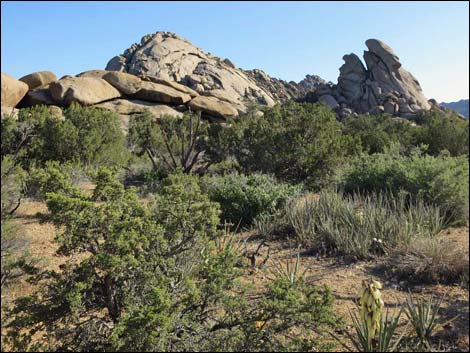
Watch Out Other than the standard warnings about hiking in the desert, ... this area is fairly safe, but there are old mines in the area, and holes in the ground are never safe to enter. The access road requires a 2WD-HC vehicle, but would be safer in a 4WD vehicle. This is wild and remote country without services of any kind (no restrooms, no water, no gas, no food). Bring what you need to survive. Be prepared and be self-reliant. It is a big place, but someone will eventually find you if you stay on a main road, but be prepared to survive alone for a day or two, or even longer on side roads. While visiting the area, please respect the land and the other people out there, and try to Leave No Trace of your passage. Also, this is a remote area, so be sure to bring the 10 Essentials, even if you leave them in the car. |
 |
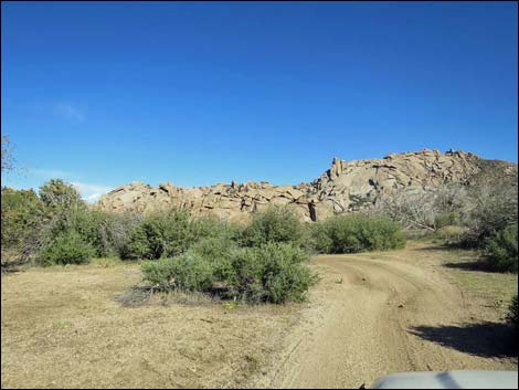
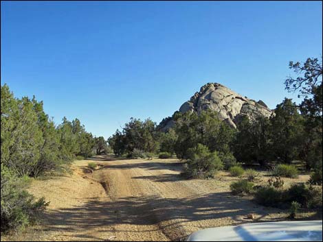
Getting to Cedar Basin Cedar Basin is located out in Gold Butte National Monument at the northeast end of Lake Mead, about 3.5 hours northeast of Las Vegas in a wild, remote, and scenic area. From town, drive out to Gold Butte National Monument. From Whitney Pocket, continue south on the unpaved Gold Butte Road to Gold Butte Townsite. Continue southwest on the main road, which is now Scanlon Road, for 1.9 miles to Quail Springs Wash (watch for a flashflood warning sign). Turn left and drive up Cedar Basin Road, which follows Quail Springs Wash southeast and up into Cedar Basin. At about 3.3 miles out, when Cedar Basin Road forks at a white 55-gallon drum in a forested area, stay right on Cedar Basin Road to the historic corral, Grapevine Spring, and Jumbo Peak Trailhead, or stay left to Radio Crystal Mine and the Granite Domes. See also the Gold Butte Area overview map. |
 |
 |
 |
 |
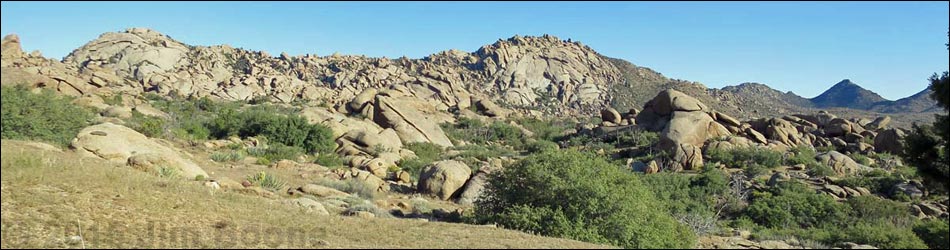
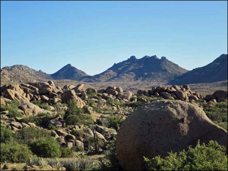
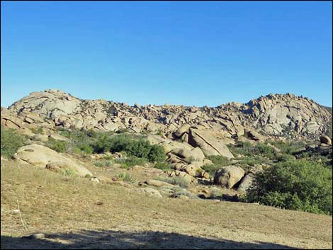
 Much of Cedar Basin burned in a wildfire (view SW) |
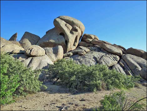
 Radio Crystal Mine Site (view SE towards Granite Domes) |
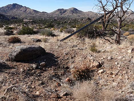
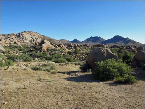 Radio Crystal Mine Site (view S to Jumbo Peak) |
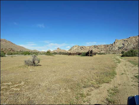 Cedar Basin Corral (view E from Cedar Basin Road) |
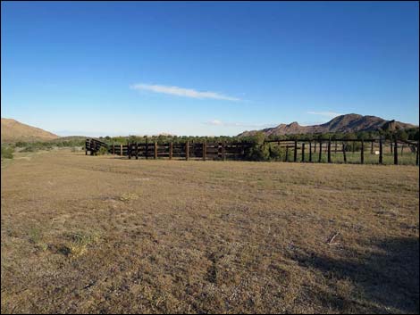 Cedar Basin Corral (view NW) |
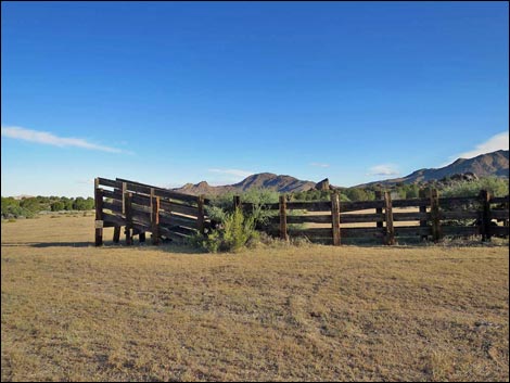 Cedar Basin Corral (view NW) |
 Cedar Basin Corral (view E) |
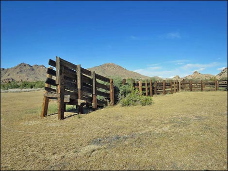 Cedar Basin Corral (view NE) |
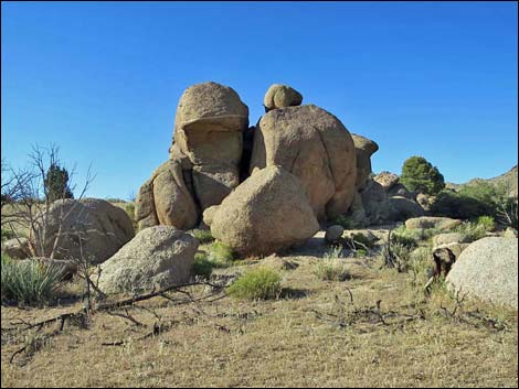
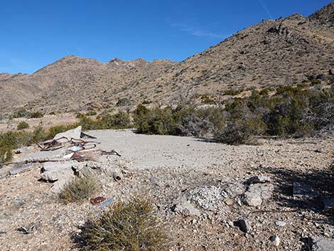
 Radio Crystal Mine Site (view E towards Pierson Gap) |
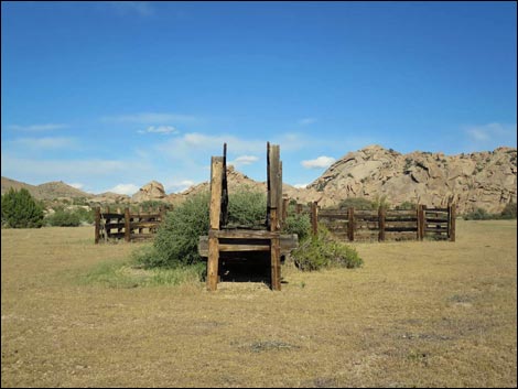
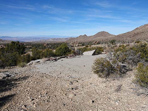
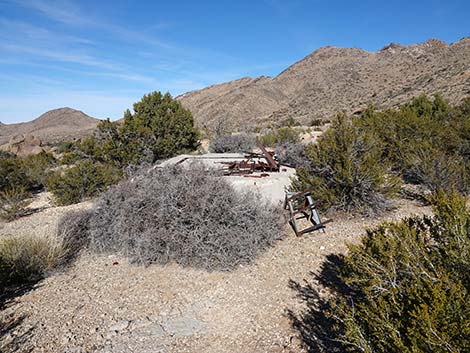
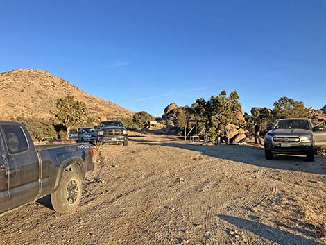 Camping at Radio Crystal Mine Site (view E) |
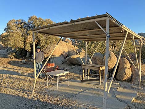 Camping at Radio Crystal Mine Site (view SE) |
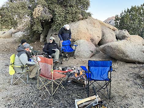 Camping at Radio Crystal Mine Site (view SE) |
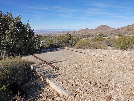
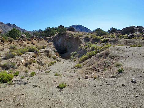 Radio Crystal Mine Site (view NE) |
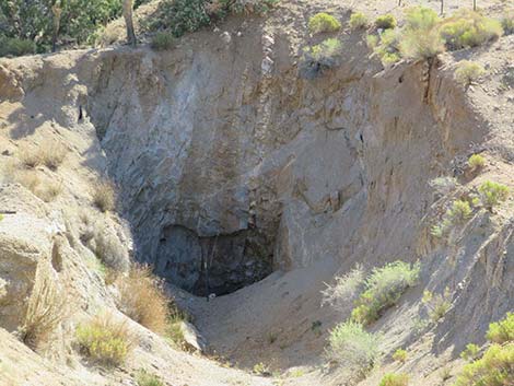 Radio Crystal Mine Site (closed; view NE) |
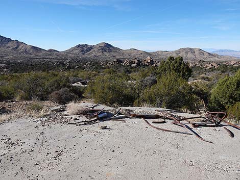
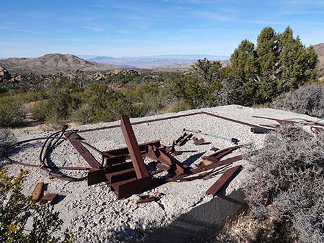
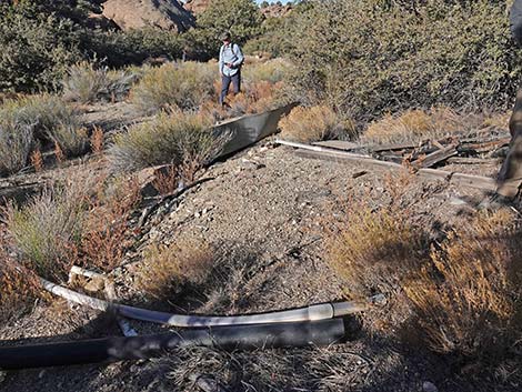 Radio Crystal Mine Debris (view W) |
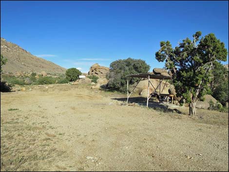
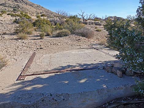
 Radio Crystal Mill Site (view N) |
 Radio Crystal Mill Site (view E) |
 Radio Crystal Mill Site (view W) |
 Radio Crystal Mill Site (view NW) |
 Radio Crystal Mill Site (view SW) |
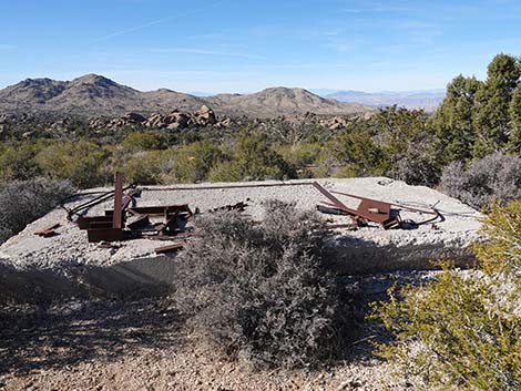 Radio Crystal Mill Site (view SW) |
 Radio Crystal Mill Site (view W) |
 Radio Crystal Mill Site (view N) |
 Radio Crystal Mill Site pit (view S) |
Table 1. Highway Coordinates Based on GPS Data (NAD27; UTM Zone 11S). Download Highway GPS Waypoints (*.gpx) file.
| Site | Location | UTM Easting | UTM Northing | Latitude (N) | Longitude (W) | Elevation (ft) | Verified |
|---|---|---|---|---|---|---|---|
| 01 | Radio Crystal Mine Site | 754485 | 4015095 | 36.24907 | 114.16788 | 4,386 | Map |
| 02 | Cedar Basin Corral | 753810 | 4014200 | 36.24120 | 114.17567 | 4,275 | Map |
| 03 | Grapevine Spring | 754403 | 4014003 | 36.23926 | 114.16915 | 4,334 | Map |
| 04 | Granite Domes | 755056 | 4013444 | 36.23406 | 114.16206 | 5,059 | Map |
| 05 | Jumbo Peak Trailhead | 754279 | 4010897 | 36.21133 | 114.17153 | 4,703 | Yes |
Happy Hiking! All distances, elevations, and other facts are approximate.
![]() ; Last updated 240325
; Last updated 240325
| Hiking Around Gold Butte | Hiking Around Las Vegas | Glossary | Copyright, Conditions, Disclaimer | Home |