Hiking Around Las Vegas, Gold Butte National Monument
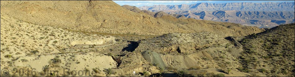
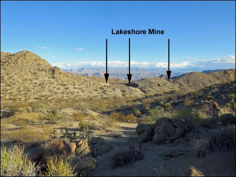
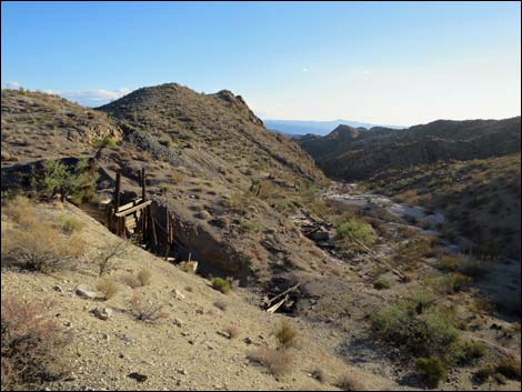
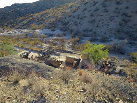
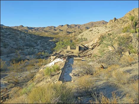
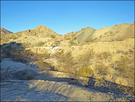
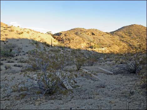
 Lakeshore Mine (view SE from the top of a nearby hill) |
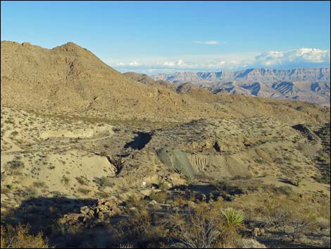
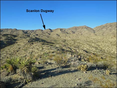
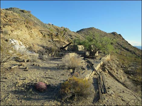
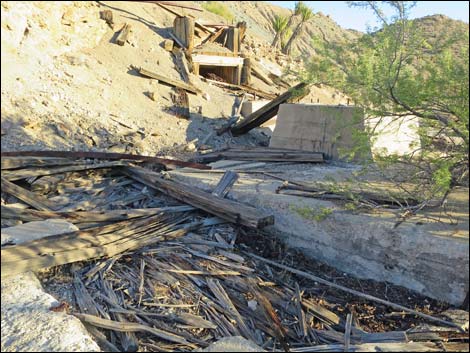
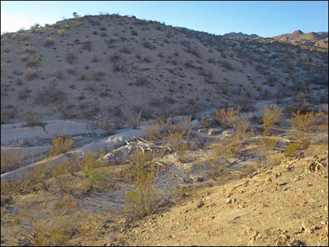
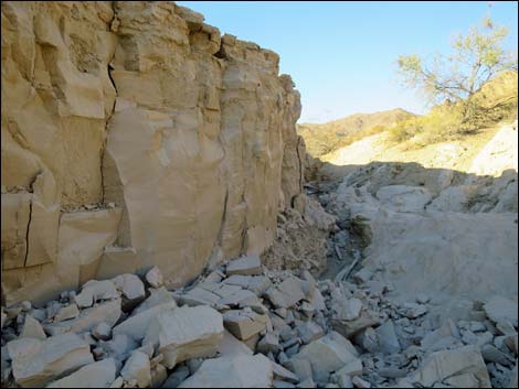
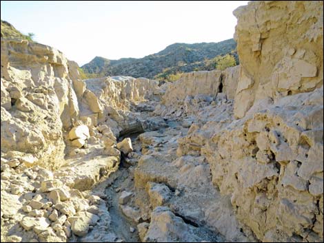
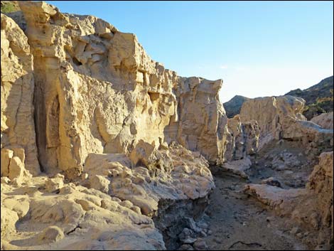
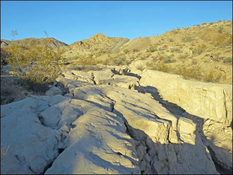
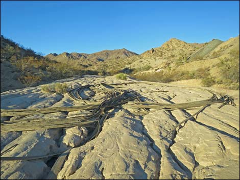
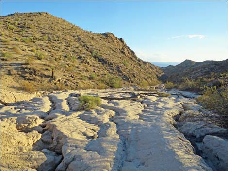
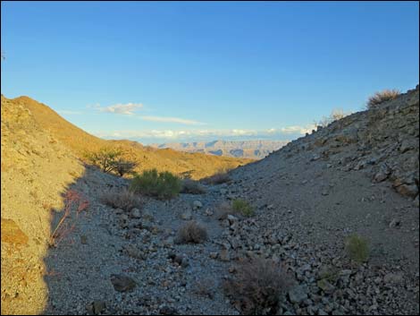
Overview Lakeshore Mine is located out at the far south end of Gold Butte National Monument near the edge of the Jumbo Springs Wilderness Area, inside Lake Mead National Recreation Area. The mine produced gold and some silver from Precambrian granites beginning in 1934 to about 1940. Lakeshore Mine primarily was a strip mine where a low ridge was scraped way using bulldozers to reveal a vein of quartz. A bit of old gear, a loading chute, mill foundations, and one short adit remain. Below the mill foundations, mud from the mill fills the wash to about 8-ft deep. These muds likely are contaminated with mercury, so don't stir up the dust. Access to this mine requires 4WD vehicles and more than likely a hike down Scanlon Dugway. This is not an easy place to visit. Link to map. |
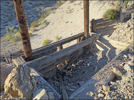
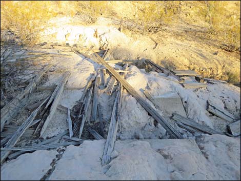
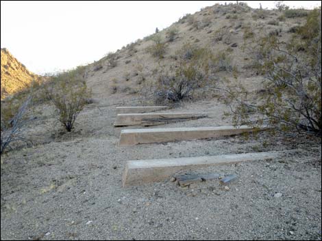
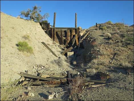 Loading chute (view E from wash) |
Watch Out Other than the standard warnings about driving in the desert, ... this is a pretty safe area, but stay out of holes in the ground, as they are never safe to enter, and the muds likely are contaminated with mercury, so don't stir up the dust. This is wild and remote country without services of any kind (no restrooms, no water, no gas, no food). Bring what you need to survive. Be prepared and be self-reliant. It is a big place, but someone will eventually find you if you stay on a main road, but be prepared to survive alone for a day or two, or even longer on side roads. Consider signaling the tourist helicopters that traverse the area coming and going from the Grand Canyon. While out, please respect the land and the other people out there, and try to Leave No Trace of your passage. Also, this is a remote area, so be sure to bring the 10 Essentials. |
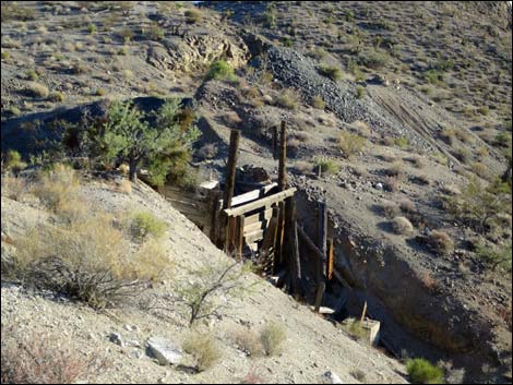
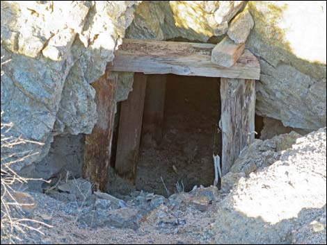 Adit entrance (view E) |
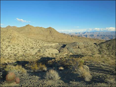
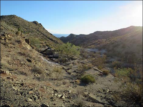
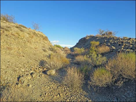
Getting to Lakeshore Mine Lakeshore Mine is located out in Gold Butte National Monument at the northeast end of Lake Mead, about 6 hours northeast of Las Vegas in a wild, remote, and scenic area. From town, drive out the paved Gold Butte Road for 21 miles to Whitney Pocket. Continue south on the unpaved Gold Butte Road for 20 miles to Gold Butte Townsite. Continue south on Scanlon Road to the top of Scanlon Dugway, which is the end of the road for most people. From there, hike the 2 miles down to the mine, which is clearly apparent when you get there. |
 |
 |
 |
 |
 |
 |
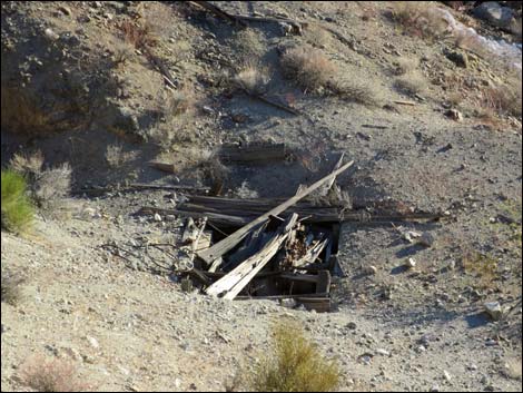
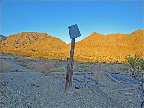
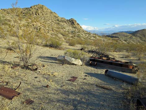 Debris along road just above the main mine site (view SE) |
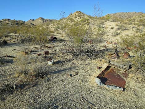 Debris along road just above the main mine site (view N) |
 Debris along road just above the main mine site (view N) |
 Debris along road just above the main mine site (view SE) |
 Debris along road just above the main mine site (view down) |
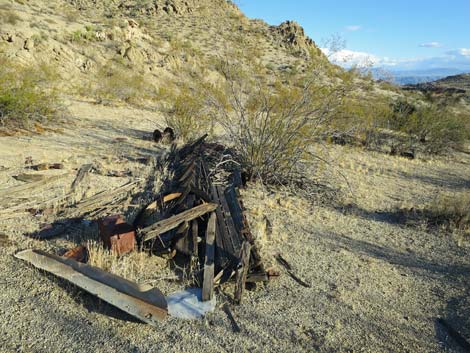 Debris along road just above the main mine site (view SE) |
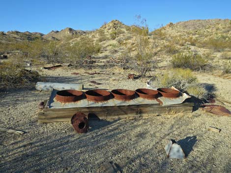
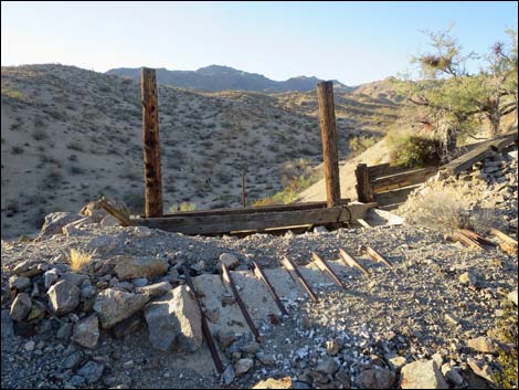
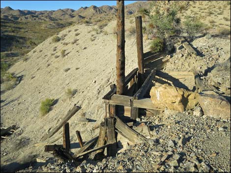
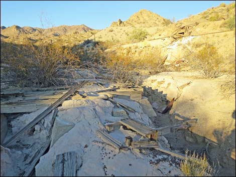
 Main site: loading chute above wash with muds (view S) |
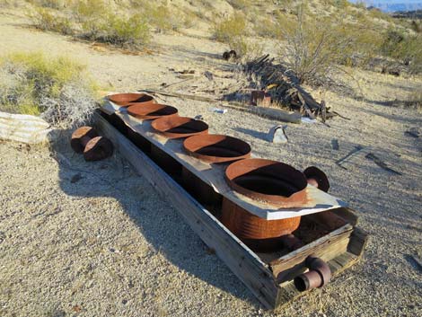
 Loading chute (view S) |
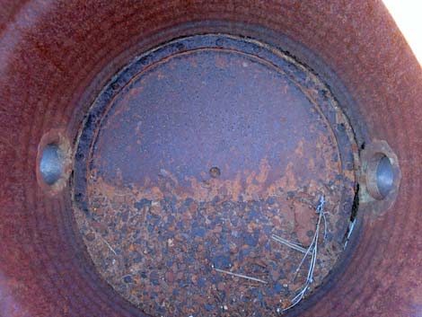
 Pit below loading chute (view S) |
 Loading chute (view NW from strip mine area) |
 Loading chute (view NW from strip mine area) |
 Loading chute (view N from strip mine area) |
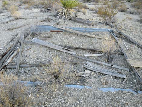
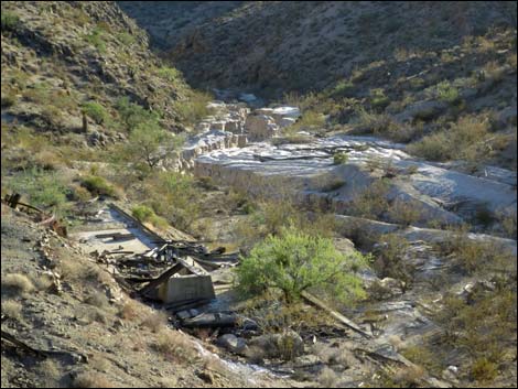 Mill foundation and muds in wash (view SW) |
 Foundation in the wash (view W) |
 Mill foundation and muds in wash (view SW) Mill foundation and muds in wash (view SW) |
Loading chute (view SE from strip mine area) |
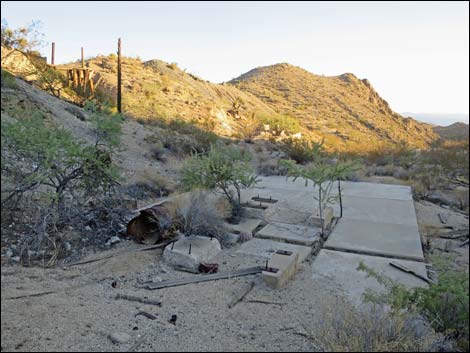
 Mill foundation (view SW) |
 Mill foundation (view SW) |
 Mill foundation (view S) |
 Mill foundation (view N) |
 Muds in wash (view NW) |
 Muds in wash (view N) Muds in wash (view N) |
 Muds in wash (view S) |
 Muds in wash (view S) |
 Muds in wash (view NE) |
 Muds in wash (view NE) |
 Muds in wash (view SW) |
 Mill site (view NE from muds in wash) |
 Muds in wash with foundation and wooden timbers (view SW) |
 Muds in wash with foundation and wooden timbers (view SW) |
 Foundation upstream from mill site (view S) |
 Foundation across wash from mill site (view S) |
 Foundation across wash from mill site (view SE) |
 Muds in wash (view NW from strip mine area) |
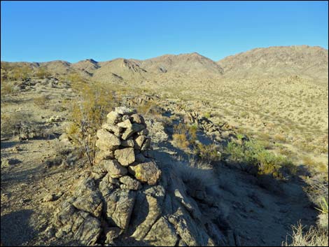
 Strip mine area (view S) |
 Strip mine area (view SE) |
 Strip mine area (view SE) |
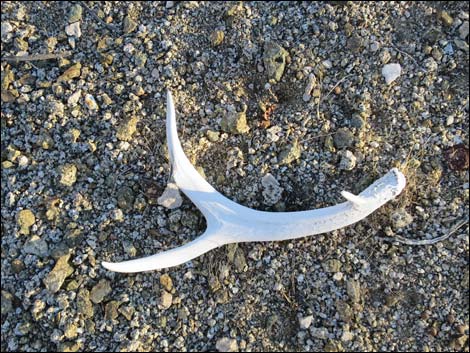 Mule deer antler - I don't expect deer this low in the desert) |
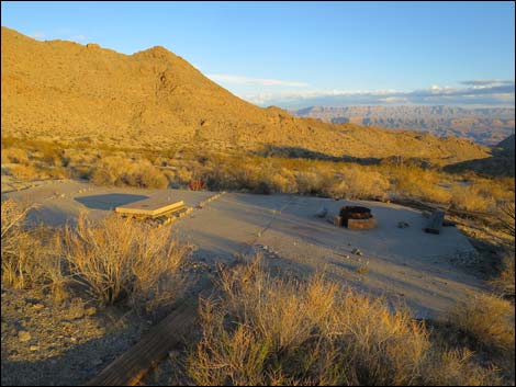
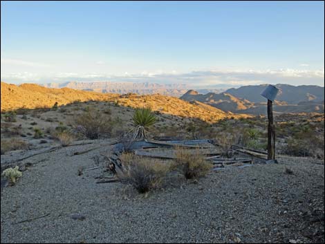 Cabin site on hilltop (view SE) |
 Cabin site on hilltop (view NE) |
 Cabin site on hilltop (view SE) |
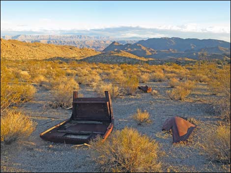 Remains of old truck (view S) |
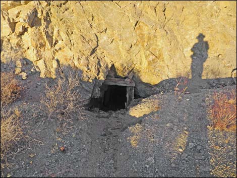 Adit entrance (view E near sunset) |
Adit entrance (view E) |
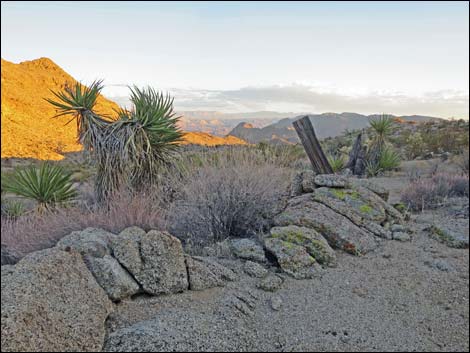
 Foundation on hillside east of mine site (view SE) |
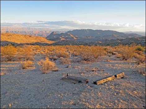 Timbers on the ground (view SE) |
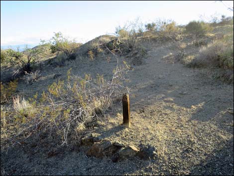
 Mining claim marker (view SE) |
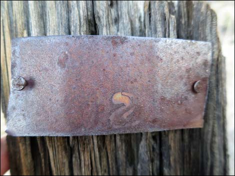 Tag on mining claim marker; text lost to time (view NE) |
Table 1. Highway Coordinates Based on GPS Data (NAD27; UTM Zone 11S). Download Highway GPS Waypoints (*.gpx) file.
| Site | Location | UTM Easting | UTM Northing | Latitude (N) | Longitude (W) | Elevation (ft) |
|---|---|---|---|---|---|---|
| 1741 | Scanlon Rd at Lakeshore Mine | 752424 | 4002722 | 36.13820 | 114.19477 | 2,646 |
Happy Hiking! All distances, elevations, and other facts are approximate.
![]() ; Last updated 240325
; Last updated 240325
| Backroads Around Las Vegas | Hiking Around Las Vegas | Glossary | Copyright, Conditions, Disclaimer | Home |