Hiking Around Las Vegas, Gold Butte National Monument
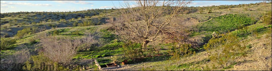
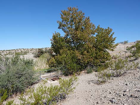
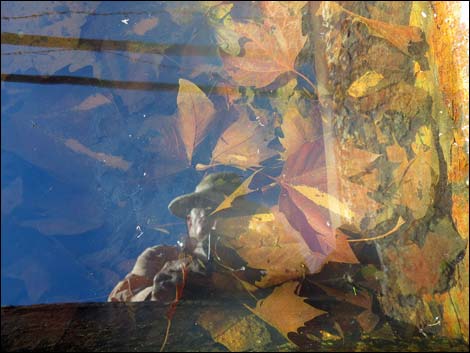
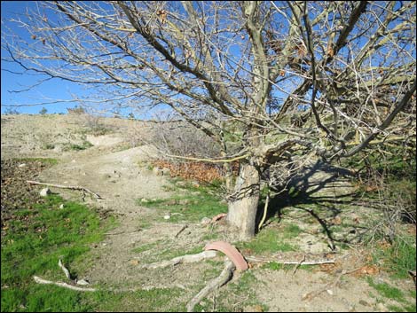
 American Sycamore at Maynard Spring (view N) |
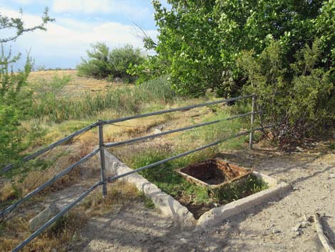
Overview Maynard Spring is located out at the far south end of Gold Butte National Monument, about 6 miles west of Gold Butte Townsite out towards the Overton Arm of Lake Mead. This historic spring area was developed by ranchers years ago, and water from the spring still flows to an old watering trough. The location of the springbox is lost to history, but water still fills a small metal watering trough set inside a much larger concrete watering trough. Spring water supports an American Sycamore (Platanus occidentalis) and a few Honey Mesquite with some Mesquite Mistletoe, which feeds Phainopepla (a bird species of concern in Nevada that eats mistletoe berries [note: poisonous to humans]). Feral burros use the water too. Link to map. |
 |
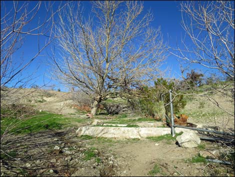
The American Sycamore is not the native species here, so somebody, long ago, brought this tree from eastern North American and planted it here. This point of interest makes for a place to stop while driving the Catclaw Wash area and to contemplate the lives of people who once worked these hills and planted the tree. Getting to Maynard Spring Maynard Spring is located out in Gold Butte National Monument at the northeast end of Lake Mead, about 4 hours northeast of Las Vegas. From Las Vegas, drive out Gold Butte Road 21 miles to Whitney Pocket at the end of the pavement. Continue south on the unpaved Gold Butte Road 20 miles to Gold Butte Townsite. From the townsite, the main road that continues straight (southwest) is Scanlon Road. Drive south on Scanlon Road 2.7 miles to Quail Wash South Road (Table 1, Site 1796), on the right. |
 Metal watering trough (view NW) |
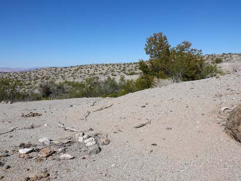
Drive west on Quail Wash South Road for 1.5 miles to a 4-way intersection (Site 1797). Stay left on Quail Wash South Road for another 0.8 miles (2.3 miles total) to Quail Wash Crossover Road (Site 1799) and stay right, crossing over 50 feet to Quail Wash Road (Site 1800). Drive west on Quail Wash Road for 1.0 miles to Mockingbird Corral (Site 1802). Just before arriving at the loading chute, Maynard Spring Road cuts left to head southwest. At about 0.26 miles out, the road forks. Staying left (the right dead ends for no apparent reason), the road runs southwest down a wash, then cuts hard right just before a big tree and climbs a bit steeply to the west. The road climbs onto a low ridge and the American Sycamore at Maynard Spring becomes visible over the edge to the right (0.7 miles out). Maynard Spring Road continues another 0.2 miles and dead ends. |
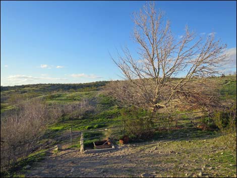
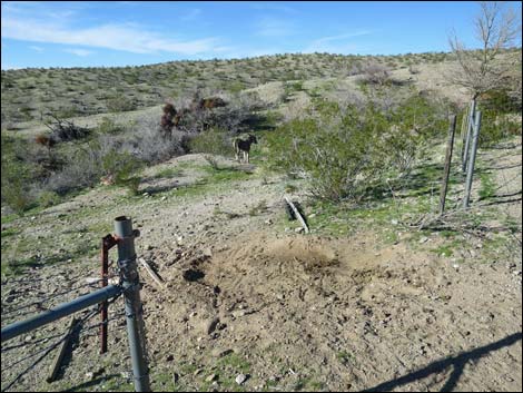
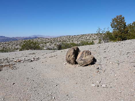 Approaching Maynard Spring (view W) |
 Arriving Maynard Spring (view W) |
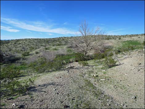 Trail to the spring during winter 2017 (view NW) |
 Trail to the spring during summer 2022 (view NW): note loss of shrubs |
 Trail down to the spring during summer (view NW) |
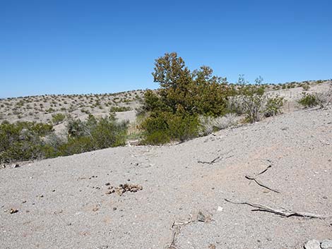
 Approaching Maynard Spring during winter |
 Small metal trough set inside a larger concrete trough (view NW) |
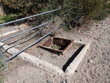 Small metal trough set inside a larger concrete trough (view NW) |
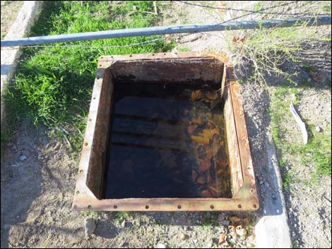
 Water and sycamore leaves in the metal trough (view down) |
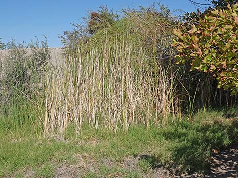 Cattails at the spring during summer (view NW) |
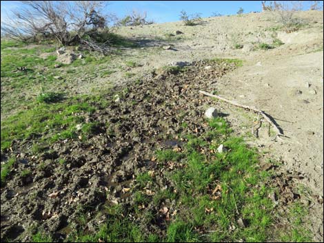 Water seeping to the surface with burro prints in the mud (view N) |
 American Sycamore (Platanus occidentalis) |
 American Sycamore (Platanus occidentalis) |
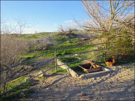
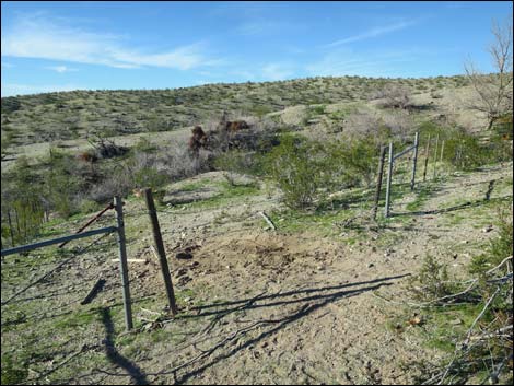
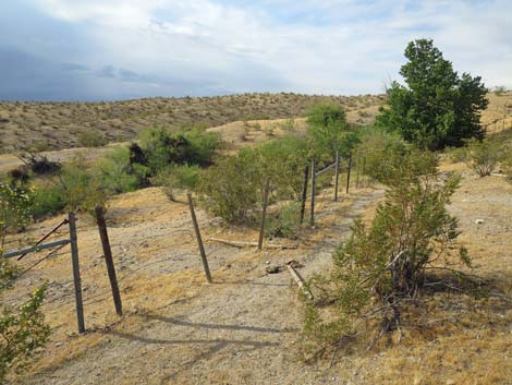
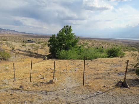
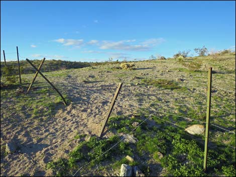 Fenceline above Maynard Spring (view N) |
 Fenceline above Maynard Spring (view S) |
 Maynard Spring gate (view NW) |
 Maynard Spring gate with burro inside the fenced area (view NW) |
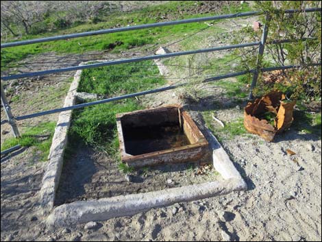 Small metal trough set inside a larger concrete trough (view NW) |
 |
 |
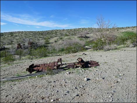 Possibly an old watering trough, now in the parking area (view NW) |
 Possibly an old watering trough, now in the parking area (view NW) |
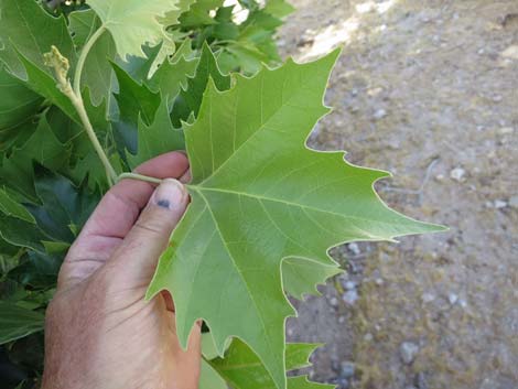 American Sycamore (Platanus occidentalis) upper leaf surface |
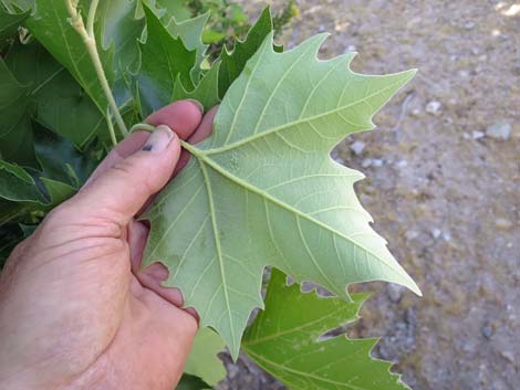 American Sycamore (Platanus occidentalis) lower leaf surface |
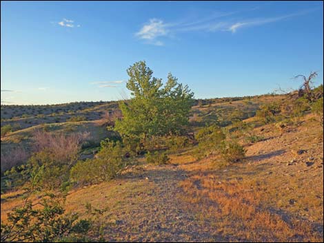 Sycamore Tree at Maynard Spring at sunset (view NW) Sycamore Tree at Maynard Spring at sunset (view NW) |
 More to come ... |
Table 1. Highway Coordinates Based on GPS Data (NAD27; UTM Zone 11S). Download Highway GPS Waypoints (*.gpx) file.
| Site | Location | UTM Easting | UTM Northing | Latitude (N) | Longitude (W) | Elevation (ft) |
|---|---|---|---|---|---|---|
| 1796 | Scanlon Road at Quail Wash South Road | 748246 | 4016211 | 36.26075 | 114.23688 | 3,156 |
| 1797 | Quail Wash Road at Quail Wash South Road | 745998 | 4016253 | 36.26170 | 114.26187 | 3,100 |
| 1799 | Quail Wash South Road at Connector Road | 744711 | 4015962 | 36.25941 | 114.27626 | 2,747 |
| 1800 | Quail Wash Road at Connector Road | 744685 | 4015989 | 36.25966 | 114.27655 | 2,761 |
| 1801 | Quail Wash Road at Maynard Spring Road | 743212 | 4016269 | 36.26256 | 114.29284 | 2,569 |
| 1804 | Maynard Spring Road at Spur Road | 742808 | 4016263 | 36.26261 | 114.29733 | 2,548 |
| 1805 | Maynard Spring | 742168 | 4016020 | 36.26057 | 114.30453 | 2,608 |
| 1806 | Maynard Spring Road Ends | 742042 | 4015762 | 36.25829 | 114.30601 | 2,388 |
Happy Hiking! All distances, elevations, and other facts are approximate.
![]() ; Last updated 240325
; Last updated 240325
| Backroads Around Las Vegas | Hiking Around Las Vegas | Glossary | Copyright, Conditions, Disclaimer | Home |