Hiking Around Las Vegas, Gold Butte National Monument
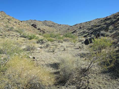
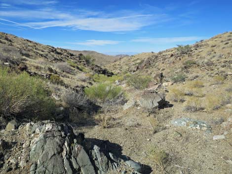
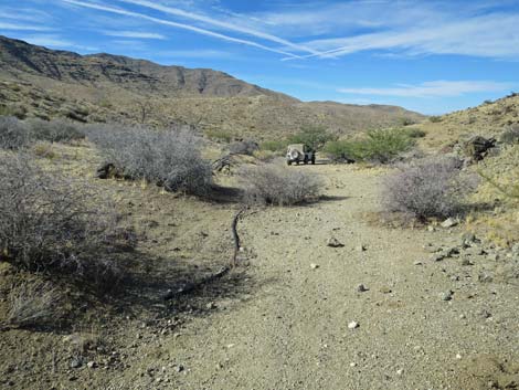
 Ruby Spring Canyon (view SE from end of Ruby Spring Road) |
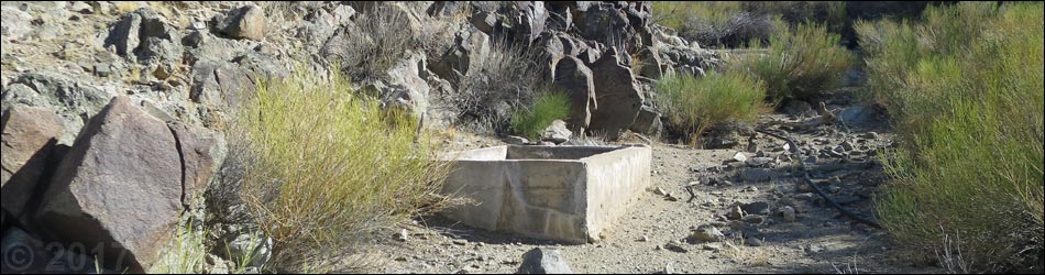
Overview Ruby Spring is located out at the far south end of Gold Butte National Monument near the boundary with Lake Mead National Recreation Area. Ranchers developed this spring decades ago, but as is the case with so many other springs in the Gold Butte region, ultimately they were unsuccessful because this land has been drying out since the last Ice Age, and with current droughts and changing climate conditions, they are drying out even faster. Ruby Spring now is dry. Ruby Spring is a quiet place in the desert to reflect on the lives of cattlemen who worked trying to make a living on lands that just couldn't support them. The climate and the vegetation changed, the ranchers eventually sold out, and sites like this remind us of how important desert water is to all form of life. Currently, the main benefits of the remaining moisture are the drought-tolerant shrub species that remain, the insects that extract moisture from the damp dirt, and the lizards that come to eat the bugs. Life goes on, but it is different now. Link to map. |
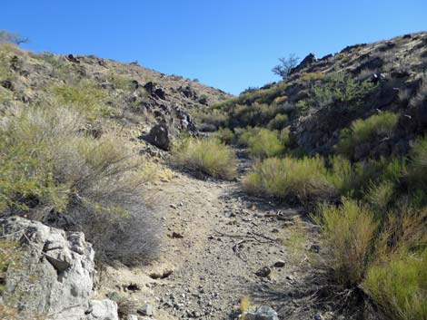
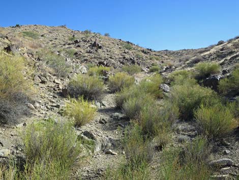
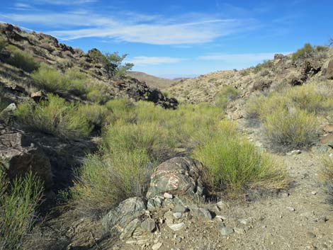
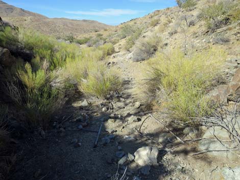
 Foot trail leading to the spring (view SE) |
Watch Out Other than the standard warnings about driving in the desert, ... this is a pretty safe area, but vehicles will receive a good dose of desert pin-striping getting there. Near the spring, the brush is thick, so keep an eye out for snakes resting in the shade. This is wild and remote country without services of any kind (no restrooms, no water, no gas, no food). Bring what you need to survive. Be prepared and be self-reliant. It is a big place, but someone will eventually find you if you stay on a main road, but be prepared to survive alone for a day or two, or even longer on side roads. Consider signaling the tourist helicopters that traverse the area coming and going from the Grand Canyon. While out, please respect the land and the other people out there, and try to Leave No Trace of your passage. Also, this is a remote area, so be sure to bring the 10 Essentials. |
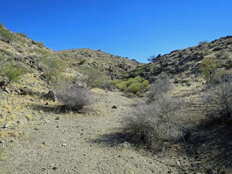
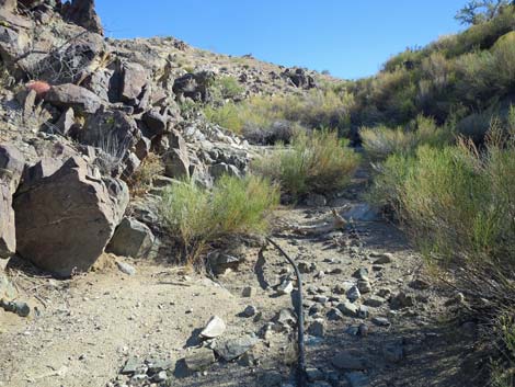
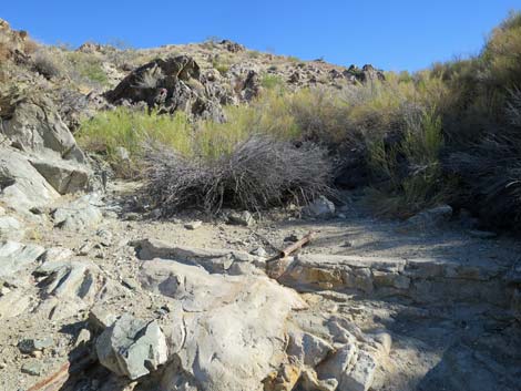
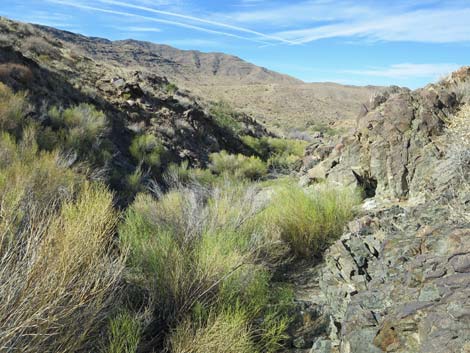
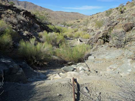
 Wash leading to the spring (view SE) |
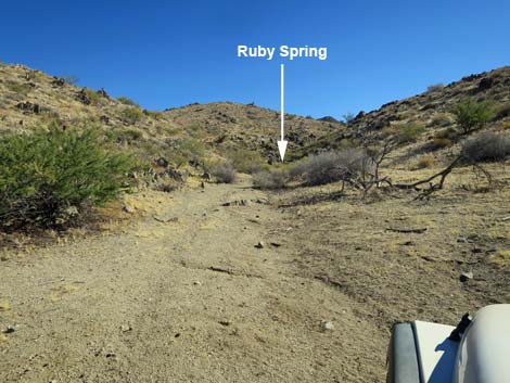
Getting to Ruby Spring Ruby Spring is located out in Gold Butte National Monument at the northeast end of Lake Mead, about 5 hours northeast of Las Vegas in a wild, remote, and scenic area. From town, drive out to Gold Butte and then south on the paved Gold Butte Road for 21 miles to Whitney Pocket. Continue south on the unpaved Gold Butte Road for 20 miles to Gold Butte Townsite. Continue south on Scanlon Road for a 9.8 miles to Garnet Valley Road, on the right. Turn right and drive south on Garnet Valley Road for 1.2 miles to a fork, which is easy to miss if you intend to turn right. Stay left (straight) onto Ruby Spring Road and continue southeast another 0.5 miles to the end of the road. Park here; this is the trailhead. From the end of the road, the cement watering trough and essentially dry spring are located another 70 yards up the canyon. |
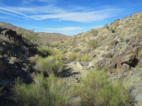
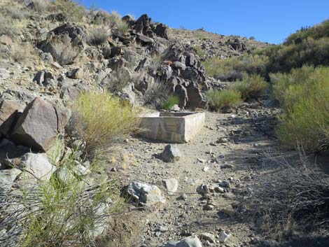 Approaching the watering trough (view SE) |
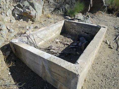 Cement watering trough (view E) |
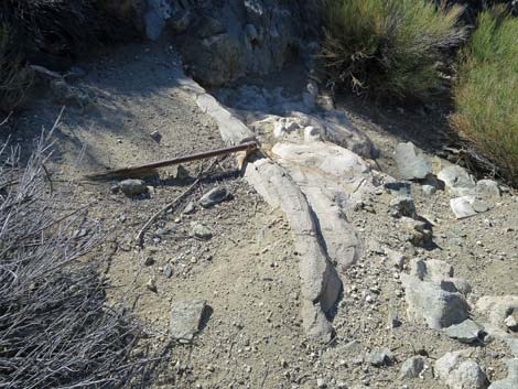
 Metal pipe leading to the spring (view SE) |
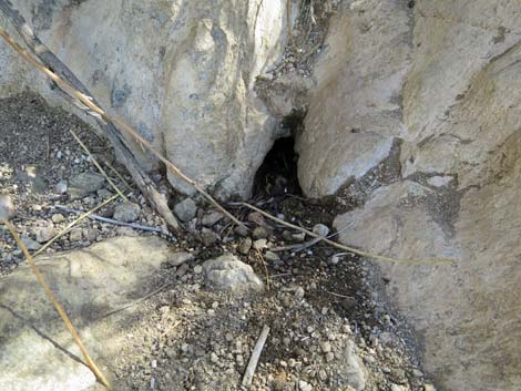 All that is left of the spring |
 Above the spring, a small catch dam (view SE) |
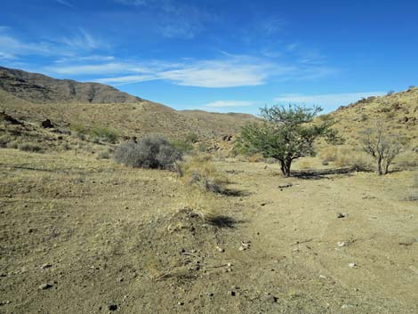
 Shrubs in the canyon above the spring (view SE) |
 Continuing up the spring: pleasant walk in the desert |
 More to come ... |
Returning down Ruby Spring Canyon
 Turning around to return down the canyon (view NW) |
 Returning down the canyon (view NW) |
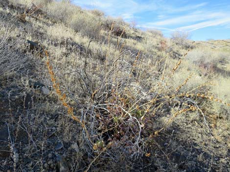 Palmer's Penstemon after the bloom |
 Returning down the canyon (view NW) |
 Returning down the brush-filled canyon (view NW) |
 Back to the low cement dam (view NW) |
 Passing the low cement dam |
 Returning to the watering trough (view NW) |
 Returning past the spring (view NW) |
 Returning to the trailhead (view NW) |
 Back at the trailhead (view NW) |
More to come ... |
Table 1. Highway Coordinates Based on GPS Data (NAD27; UTM Zone 11S). Download Highway GPS Waypoints (*.gpx) file.
| Site | Location | UTM Easting | UTM Northing | Latitude (N) | Longitude (W) | Elevation (ft) |
|---|---|---|---|---|---|---|
| Ruby Spring | Ruby Spring | 748352 | 4006109 | 36.16975 | 114.23890 | 3,481 |
Happy Hiking! All distances, elevations, and other facts are approximate.
![]() ; Last updated 240325
; Last updated 240325
| Backroads Around Las Vegas | Hiking Around Las Vegas | Glossary | Copyright, Conditions, Disclaimer | Home |