Hiking Around Las Vegas, Gold Butte National Monument
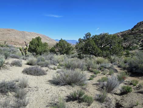
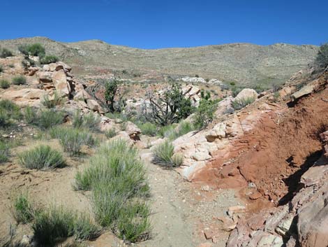
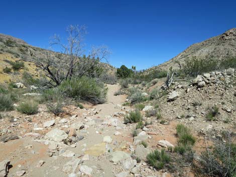
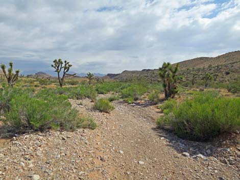
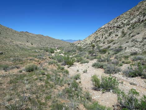
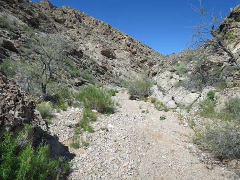
 Paradise Valley Trailhead parking (view NNE) Paradise Valley Trailhead parking (view NNE) |
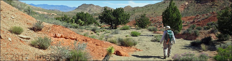
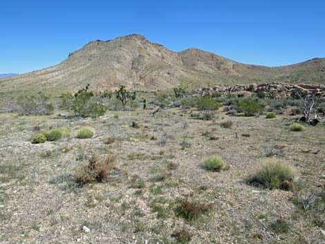
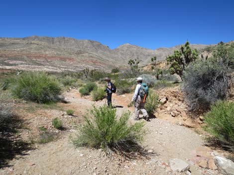
Overview Paradise Valley is out in the heart of the wild and remote Gold Butte National Monument, and indeed, parts do seem like paradise, although it might have been prettier before the big fires of 2005. This hike runs one-way, all downhill, for 5 miles and requires a vehicle shuttle. Starting from Gold Butte Road near Gold Butte Townsite, the route runs down Valatier Wash between Paradise Ridge to the east and the higher Tramp Ridge to the west, both of which stretch off into the distance. In this complexly faulted country, Valatier Wash cuts through a gap in Paradise Ridge that provide hikers an early exit from Paradise Valley back to Gold Butte Road. Slightly longer versions of the hike exit Paradise Valley through a second or third gap in Paradise Ridge. Link to hiking map. |
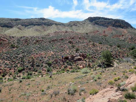
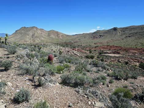
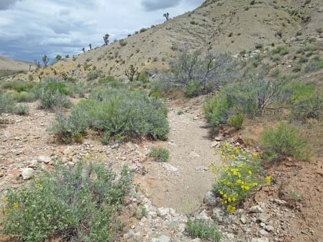
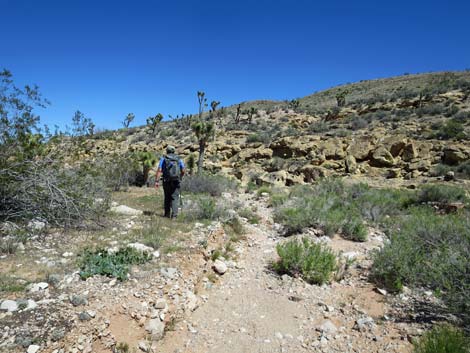
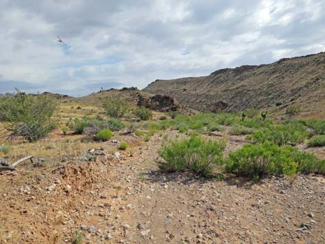
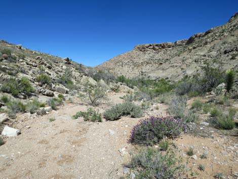
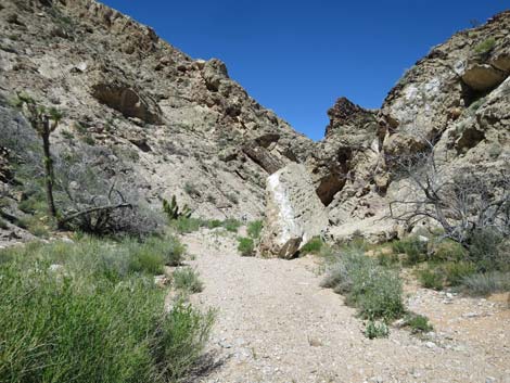
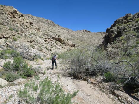
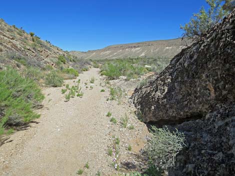
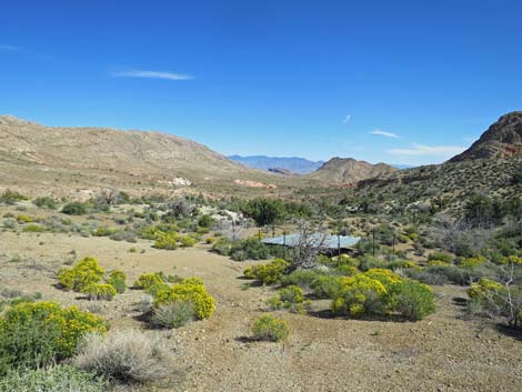 Approaching the quail guzzler (view NNE) |
Watch Out Other than the standard warnings about hiking in the desert, ... this area is pretty safe with no unusual hazards, but there are old mines in the area, and holes in the ground are never safe to enter. This is a wild and remote area without services of any kind (no restrooms, no water, no gas, no food). Bring what you need to survive. Be prepared and be self-reliant. Law enforcement occasionally patrols the area. Someone will find you eventually if you stay on a main road, but be prepared to survive alone for a day or two. The access road require a 2WD-HC vehicle or a carefully driven sedan. Cell phones don't work here. While hiking, please respect the land and the other people out there, and try to Leave No Trace of your passage. Also, this is a remote hike, so be sure to bring the 10 Essentials. |
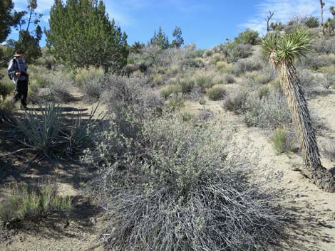
 Saltcedar - noxious weeds are everywhere, even in Paradise Saltcedar - noxious weeds are everywhere, even in Paradise |
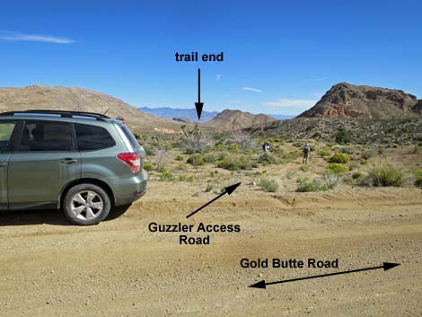
Getting to the Trailhead Paradise Valley is located out in Gold Butte National Monument at the northeast end of Lake Mead, about 3 hours northeast of Las Vegas in a wild, remote, and scenic area. From town, drive out to Gold Butte National Monument, then drive south on the paved Gold Butte Road to Whitney Pocket. From there, continue south on the unpaved Gold Butte Road. After about 13.7 miles on the dirt, the road climbs across a steep hillside to an overlook at the top. From there, continue south another 1.1 miles (14.8 dirt miles) to where the road crosses Horse Spring Wash. This is the end of the hike; leave a vehicle here. Continue south for another 3.8 miles (18.6 dirt miles) to a minor side road to the right that leads to a quail guzzler about 125 yards north of the road. Park here, this is the trailhead. |
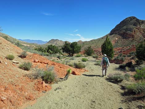
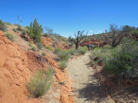
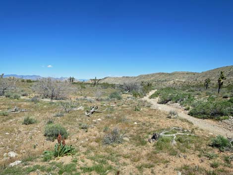
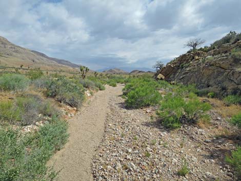
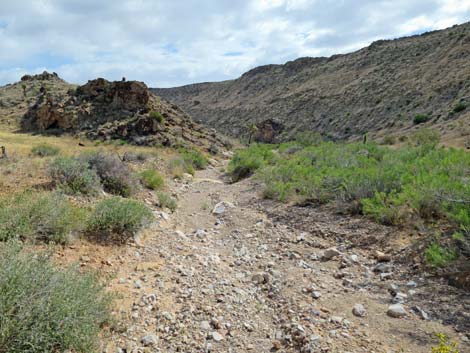
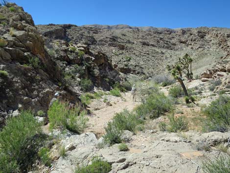
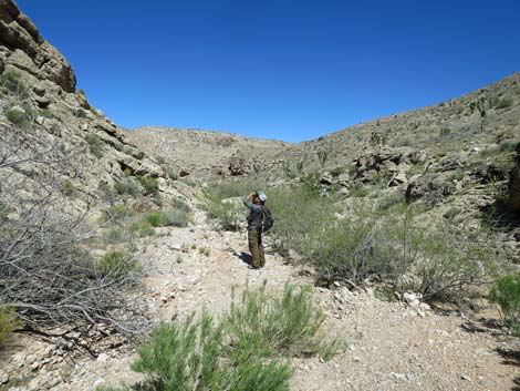
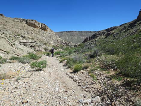
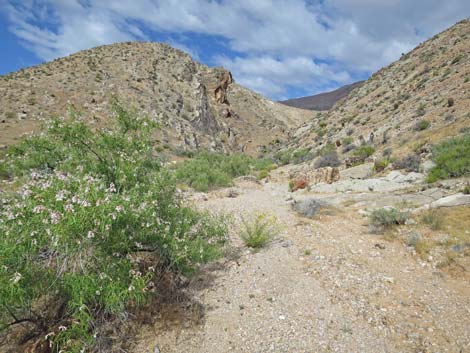
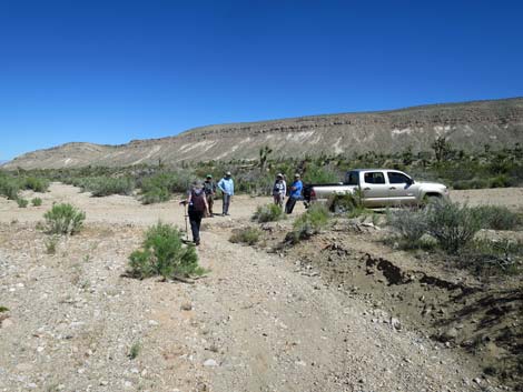
 Continuing north with pinyon and juniper trees (view N) |
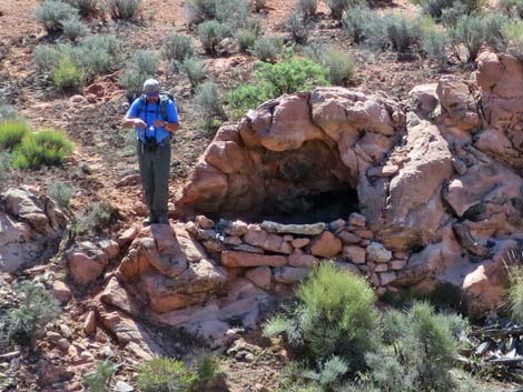
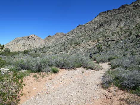
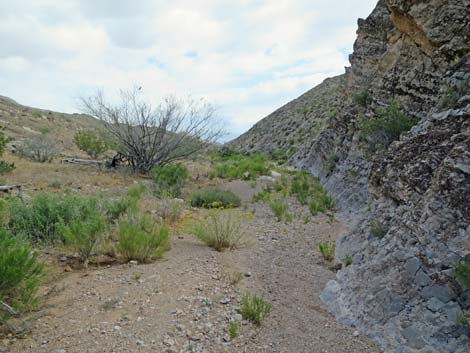
The Hike From the trailhead (Table 1, Waypoint 01), the route heads north on the guzzler access road to the quail guzzler (Wpt. 02); keep an eye out for Gambel's Quail and Woodhouse's Scrub-Jays. From the guzzler, the route continues downhill into the canyon, and as long as hikers are heading downhill, they are on the right route. Soon the cliffs of Paradise Ridge tower above while Valatier Wash cuts through red and white sandstone. This sandstone, however, is not the Jurassic-age (150-200 mya) sandstone of Whitney Pocket; these are Permian-age Red Beds (250-300 mya). At about 0.7 miles out, the route passes a curious habitation site (Wpt. 03) just above the wash on the east side. This site seems to have been from recent history rather than prehistoric, but it seems too small. Maybe old-man Valatier was a short Basque shepherd? The desert usually guards its mysteries. |
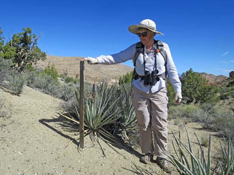 Modern mining-claim marker: 2x2 wooden post with metal tag |
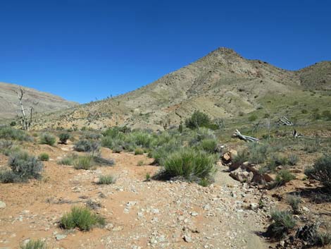
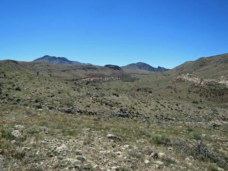
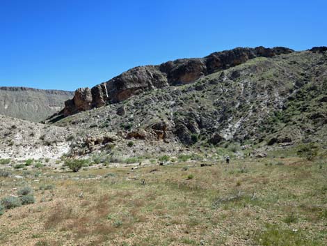
The route continues down the wash. At about 1.4 miles out, the wash bumps into Paradise Ridge and abruptly bends to the west. In the spring of 2017, a small tunnel in the bank harbored a nest full of Kit Fox pups. During the day, I guess the parents were out hunting, and the kids weren't too concerned about us. After running west a few hundred yards, the wash bends to flow north again. At about 2.4 miles out, Valatier Wash merges with Paradise Valley Wash, and together they continue north but angling northeast. At about 3.4 miles out, the wash passes the toe of a low ridge (Wpt. 05) on the west that separates the wash from the rest of Paradise Valley. Here, the wash begins to cut through Paradise Ridge en route to the other side of the mountain. |
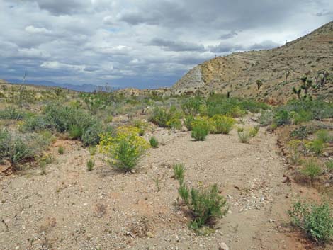
 Las Vegas Buckwheat (sensitive plant species) along the wash |
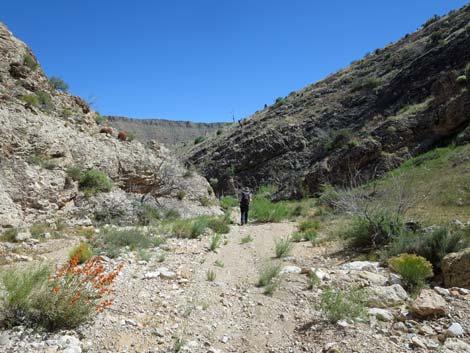
Those who want a longer hike can exit Valatier Wash here (Wpt. 05) and hike west 90 yards to an old road. Turning right and heading north, the old road can be followed, intermittently, all the way through Paradise Valley to Devils Throat in the bottom of Mud Wash Valley (7 air-miles). There are three canyons (0.5, 1.5, and 2 air-miles out) that cut east through the ridge and provide access to Gold Butte Road. Continuing in Valatier Wash, the low ridge on the west soon becomes a high ridge, and the wash is funneled down the narrow canyon into the bowels of Paradise Ridge. The layers of Kaibab and Toroweap limestone here, the same layers at the top of the Grand Canyon, are contorted and contain interesting fossils. After a series of twists and turns, hikers suddenly emerge on the east side of Paradise Ridge in Horse Spring Valley. Outside the ridge, Valatier Wash quickly merges with Horse Spring Wash, and together they run northeast, passing another guzzler on the right, to cross Gold Butte Road at the end of the hike (Wpt. 06). |
 Walking through time: Permian Red Beds (view N) |
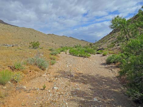
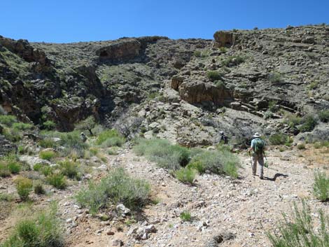
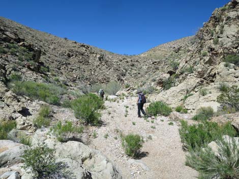
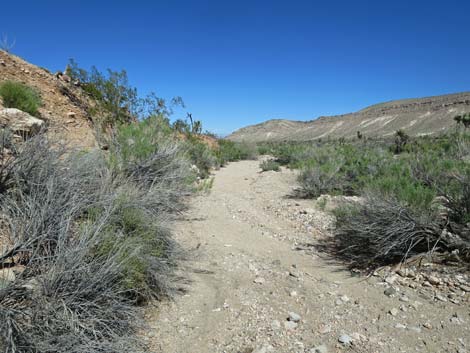
 Continuing through the colorful canyon (view NW) |
 More Permian Red Beds sandstone (view NE) |
 On hillside above the wash (view back across the wash (view SE) |
 Curious habitation site (view SE) |
 On hillside above the wash (view back across the wash (view NE) |
 Sometimes it is easier to walk out of the wash (view NE) |
 Back in the wash (view N) |
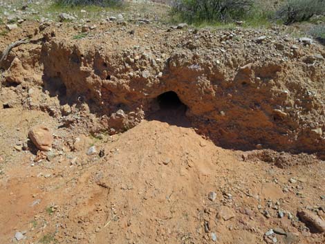 Kit Fox burrow |
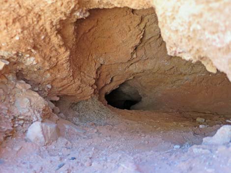 Antechamber playroom; fox pups are back in the tunnel |
 Back in the wash (view W) |
 On hillside, looking back across Paradise Valley (view SE) |
 Back in the wash (view NE) |
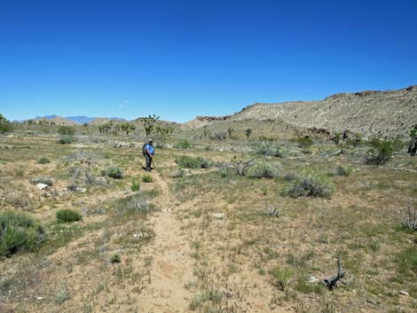
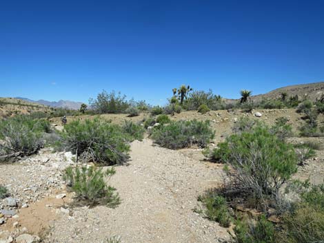
 Easy walking (view NE) Easy walking (view NE) |
 |
 |
 |
 |
 Walking on easy ground out of the wash (view NE) |
 Easy ground in the wash (view NE) |
 Animal trail on easy ground above the wash (view N) |
 Approaching exit from Paradise Valley (view NE) |
 Beginning to exit from Paradise Valley (view NE) |
 Staying against the rocky cliffs of the main Paradise Ridge (view N) |
 |
 |
 Starting into canyon (view N) |
 High canyon walls on both sides (view NW) |
 (view W) |
 (view N) |
 (view N) |
 (view NE) |
 (view N) |
 (view E) |
 (view SE) |
 (view SE) |
 Nearing the exit from Paradise Ridge (view SE) |
 Exiting from Paradise Ridge (view NE) |
 Looking back up Horse Spring Wash into Paradise Ridge (view SW) |
 Guzzler on the rise ahead (view NE) |
 Horse Spring Wash (view NE) |
 Returning to Gold Butte Road (view NE) |
Table 1. Hiking Coordinates and Distances based on GPS Data (NAD27; UTM Zone 11S). Download hiking GPS waypoints (gpx) file.
| Wpt. | Location | UTM Easting | UTM Northing | Elevation (ft) | Point-to-Point Distance (mi) | Cumulative Distance (mi) |
|---|---|---|---|---|---|---|
| 01 | Trailhead | 753574 | 4019930 | 3,595 | 0.00 | 0.00 |
| 02 | Guzzler | 753614 | 4020022 | 3,566 | 0.07 | 0.07 |
| 03 | Habitation Site | 753982 | 4020893 | 3,446 | 0.68 | 0.75 |
| 04 | Confluence | 754367 | 4022756 | 3,508 | 1.65 | 2.40 |
| 05 | Exit Paradise Valley | 755309 | 4023811 | 3,412 | 0.99 | 3.39 |
| 06 | Trail End | 756241 | 4024898 | 3,193 | 1.66 | 4.87 |
Happy Hiking! All distances, elevations, and other facts are approximate.
![]() ; Last updated 240325
; Last updated 240325
| Hiking Around Gold Butte | Hiking Around Las Vegas | Glossary | Copyright, Conditions, Disclaimer | Home |