Backroads Around Las Vegas, Gold Butte National Monument
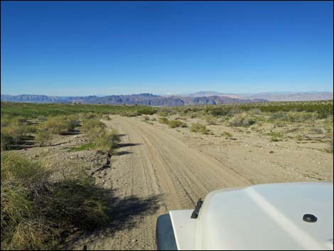
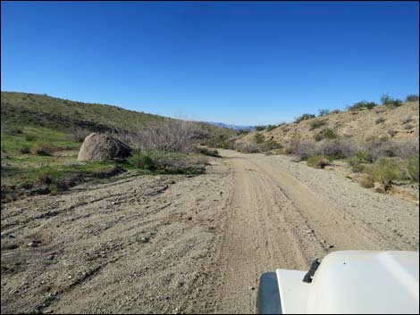
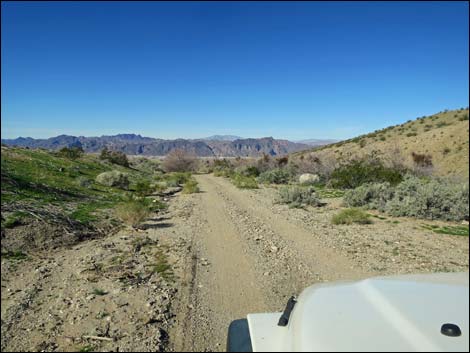
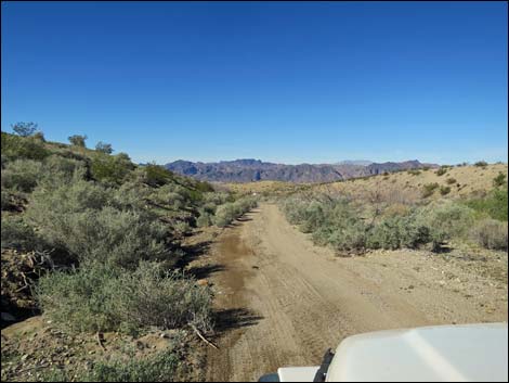
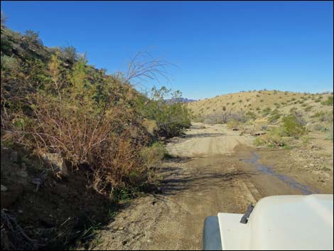
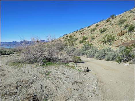
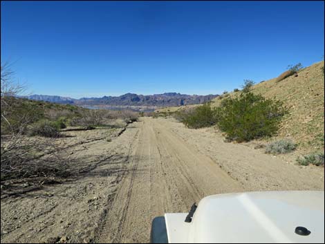
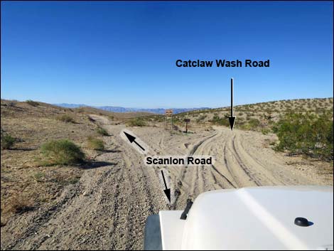 Scanlon Road, approaching Catclaw Wash Road (view W) |
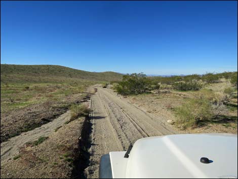
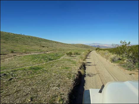
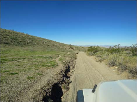
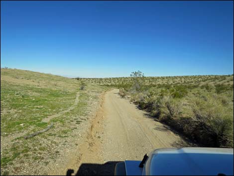
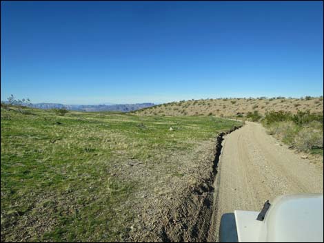
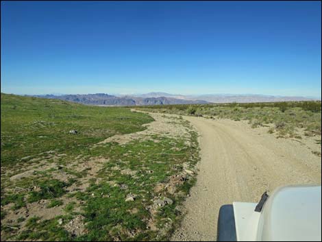
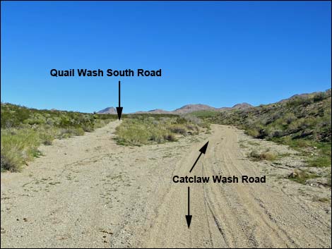
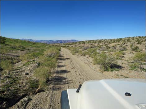
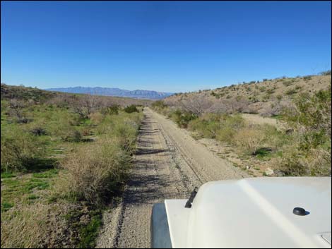
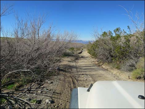
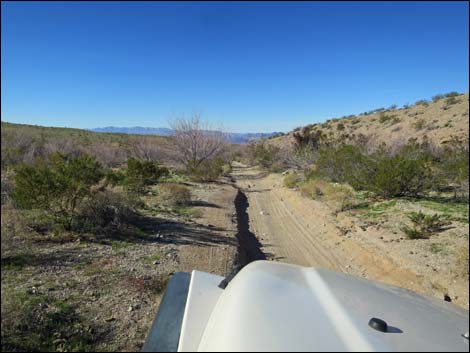
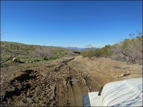
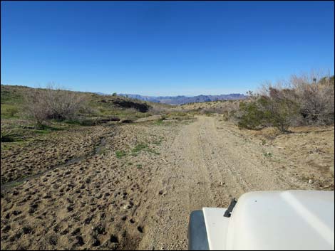
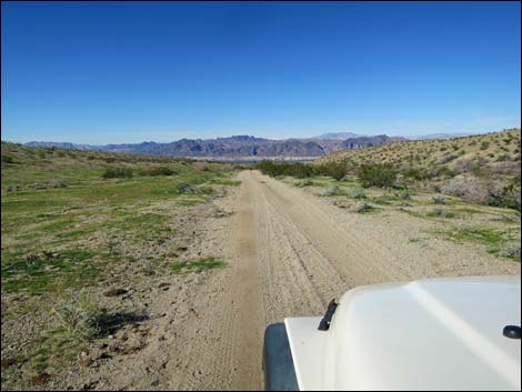
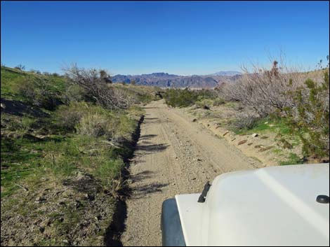
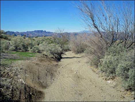
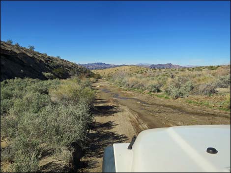
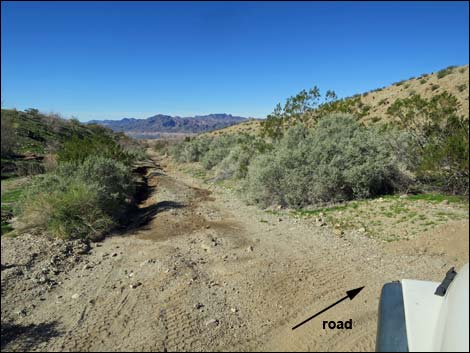
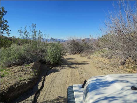
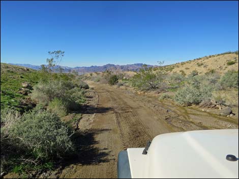
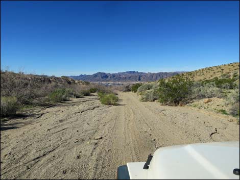
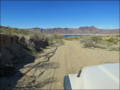
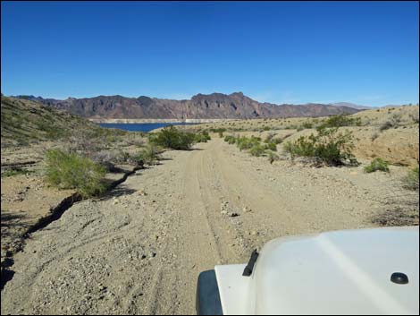
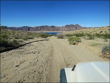
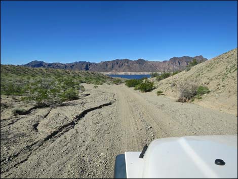
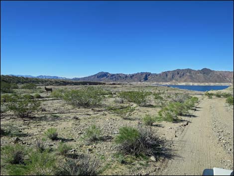
Overview Catclaw Wash Road is located out at the far southwest end of Gold Butte National Monument, a side road off Scanlon Road that starts a few miles west of Gold Butte Townsite. From Scanlon Road, Catclaw Wash Road runs 7.5 miles down the wash to the edge of Lake Mead, passing several springs along the way. Along most of the road, the wash is open, providing long views across the landscape. The road runs mostly on sand with a firm base, making for a relatively smooth ride. In places the road is overgrown with shrubs and trees that will apply desert pin-striping to passing vehicles. The Tramp and Fork Fire burned on the south side of the road in 2005, and while this helps reduce the pin-striping problem (on one side anyways), it provides a good example of how our desert is changing under the pressure of invasive grasses and a drying climate. Catclaw Wash Road usually is passable in a 2WD-HC vehicle, but it is safer in a 4WD because parts are a bit sandy. Link to Road Map. |
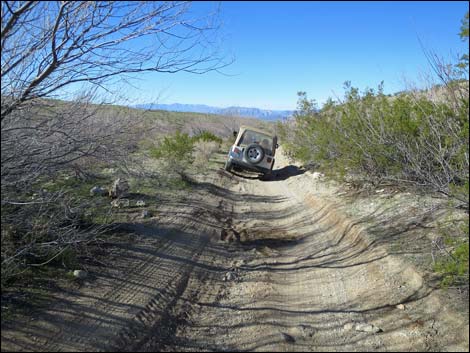
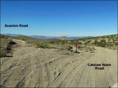 Scanlon Road at Catclaw Wash Road (view W) |
Watch Out Other than the standard warnings about driving in the desert, ... this is a fairly safe road without unusual hazards, but vehicles will receive some desert pin-striping. Keep hands, arms, and clothing inside the vehicle or understand the meaning of the other name for catclaw acacia: wait-a-minute bush. This is wild and remote country without services of any kind (no restrooms, no water, no gas, no food). Bring what you need to survive. Be prepared and be self-reliant. It is a big place, but someone will eventually find you if you stay on a main road, but be prepared to survive alone for a day or two, or even longer on side roads. Cell phones don't work here. Consider signaling the tourist helicopters that traverse the area coming and going from the Grand Canyon or boats on Lake Mead. While out, please respect the land and the other people out there, and try to Leave No Trace of your passage. Also, this is a remote area, so be sure to bring the 10 Essentials. |
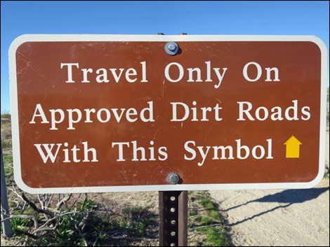
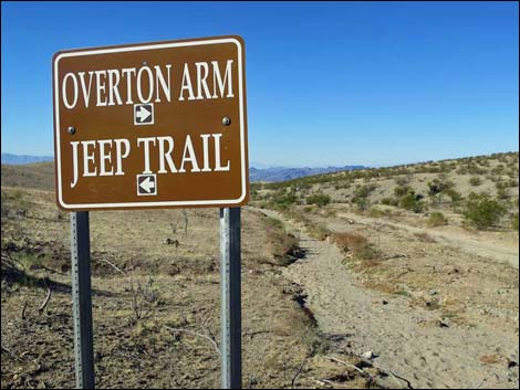
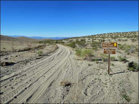
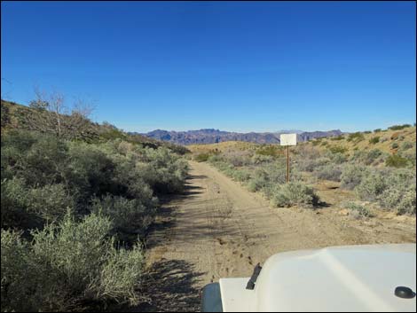
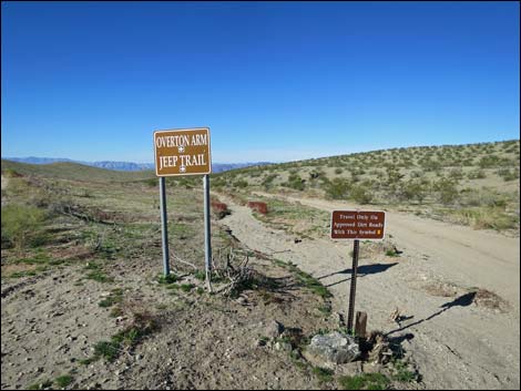 Two of three signs at start of Catclaw Wash Road (view W) |
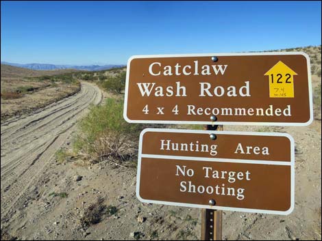
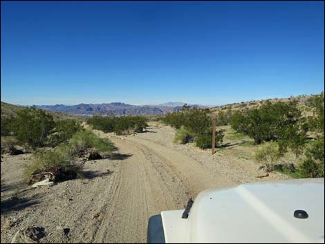
Getting to Catclaw Wash Road Catclaw Wash Road is located out in Gold Butte National Monument at the northeast end of Lake Mead, about 3-1/2 hours northeast of Las Vegas. From Las Vegas, drive out Gold Butte Road 21 miles to Whitney Pocket at the end of the pavement. Continue south on the unpaved Gold Butte Road 20 miles to Gold Butte Townsite. From the townsite, the main road that continues straight (southwest) is Scanlon Road. Drive south on Scanlon Road 4.1 miles to Catclaw Wash Road, a major fork to the right with road signs. The road to the right, signed as "Overton Arm," is Catclaw Wash Road, which is confirmed several yards ahead by a Catclaw Wash Road sign. Another sign warns that this is a hunting area, not an area for target practice. The road to the left, marked "Jeep Trail," is Scanlon Road. |
 |
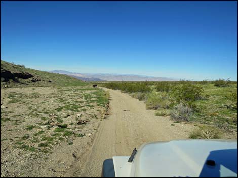
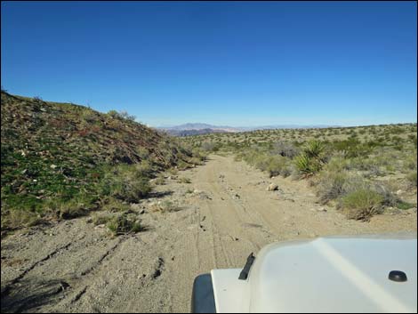
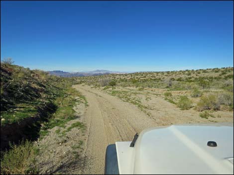
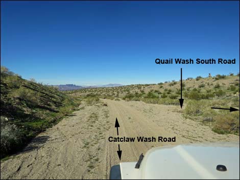
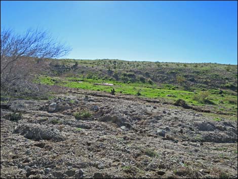
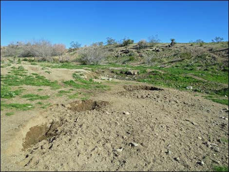
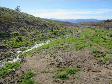
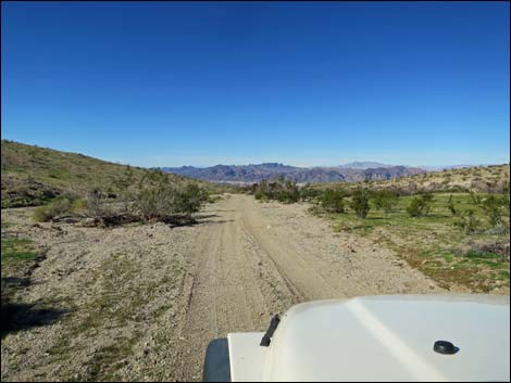
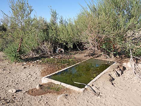
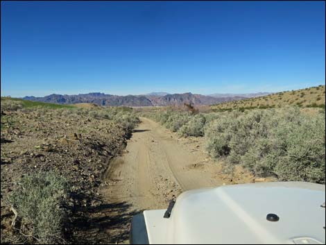
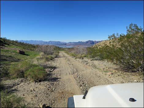
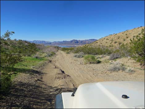
The Road From Scanlon Road (Site 1725), Catclaw Wash Road continues straight (southwest) down the wash when Scanlon Road angles to the left (south) and cuts up across a hillside. Catclaw Wash Road follows the bottom of the wash the entire way, so this sandy road is subject to washouts, but they are easily bypassed. The road runs generally west, but winds back and forth a bit as the wash avoids low hills along the way. At about 2.2 miles out, a side road (Site 1790) merges from the right. This road, Quail Wash South Road, can be used to make a partial loop for the return (at forks, all roads heading east go back to Scanlon Road). Continuing, at about 2.7 miles out, the road passes the first of several springs, this one on the left. At 3.1 miles out, the road passes Aqua Chiquita Spring on the right about 60 yards out. |
 |
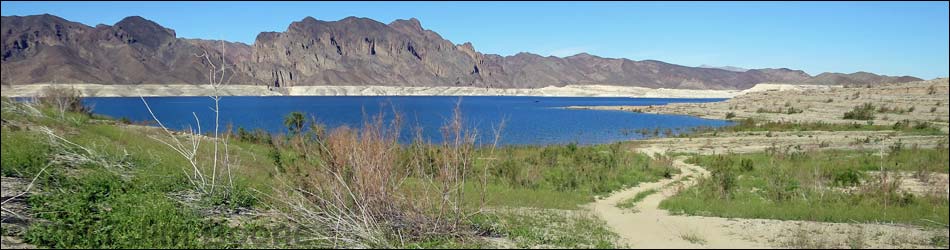
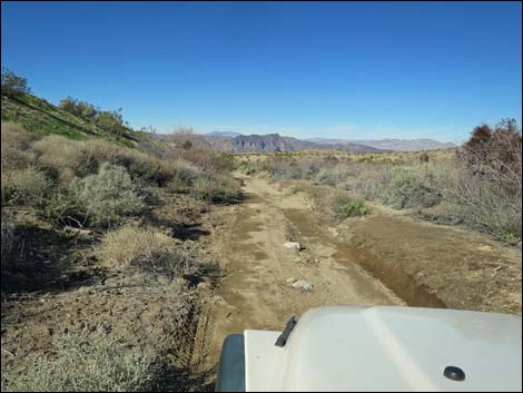
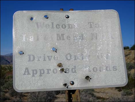
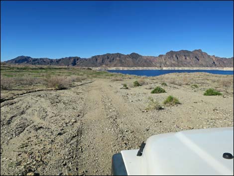
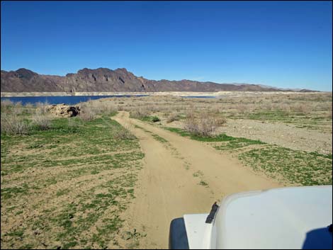
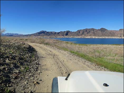
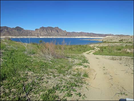
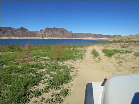
Continuing down the sandy wash, at about 4.2 miles out, the road passes yet another spring in a thicket on the right. The spring isn't visible from the road, but water runs along the roadway. At 4.5 miles out, an old sign announces entry into Lake Mead National Recreation Area, and here the road becomes NPS Road #122. Shortly thereafter, at 4.7 miles out, a bad washout forces the road to turn hard to the right and cross to the other side of the wash. Some drivers try to continue straight, then bust through the bushes when the road becomes impassible, but please just stay on the main road and let the damaged vegetation recover. At about 6.8 miles out, the road passes the historic high-water mark for Lake Mead. The road continues west dropping towards the water, but then bends left to run south along an old beach line for about 250 yards before turning down more steeply and winding down to the edge of the lake (Site 1792), a total of 7.5 miles out in February 2017. |
 Sign at start of Catclaw Wash Road (view W) |
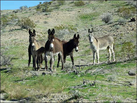
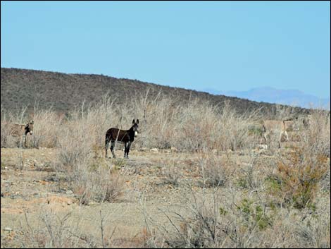
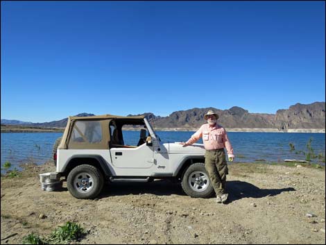
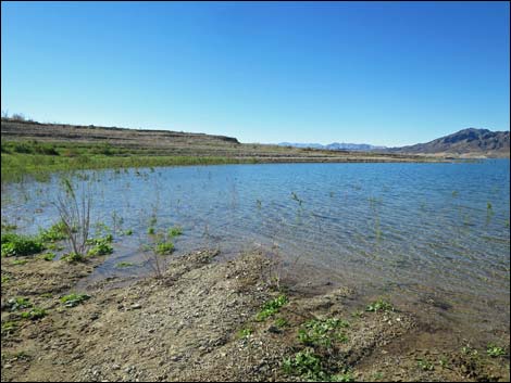
The edge of the lake is an interesting place. Lake levels change with time, but the bottom is fairly gentle here, so the water in the cove is shallow and provides a nice place to wade and cool off on warm days. The shore is gravel here, which makes for a clean place to swim too. At least during warm weather, the lake edge attracts large numbers of feral burros. In February 2017, there were some 25 animals in the area near the end of the road. This part of Lake Mead is also a good place to see Bald Eagles, so keep an eye out, and notice the ducks, grebes, and gulls that use these quiet waters. The lakeshore is a good place for lunch. When ready, head back up Catclaw Wash Road, but consider taking the left fork (Site 1790) and continuing east at the forks. |
 |
 |
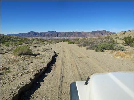
 The road sometimes runs in a sandy ditch (view W) |
 The left side burned in the 2005 Tramp and Fork Fire (view W) |
 |
 |
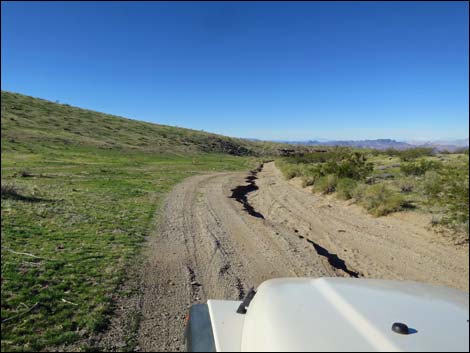 Bypassing a sandy washout (view W) |
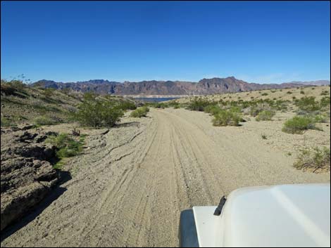
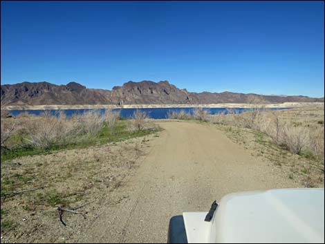
 Broad, open landscape (view W) |
 |
 |
 |
 |
 Catclaw Wash Road at Quail Wash South Road (view W) |
 Looking back: Catclaw Wash Road at Quail Wash South Road (view E) |
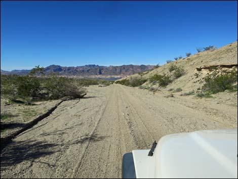
 Smooth, sandy road with a firm base (view W) |
 Smooth, sandy road with a firm base (view W) |
 Overgrown roadway (view W) |
 Overgrown and a bit washed out roadway (view W) |
 Overgrown and a bit washed out roadway (view W) |
 First of the springs areas (view S from roadway) |
 Spring area; animals have been digging for water (view SE) |
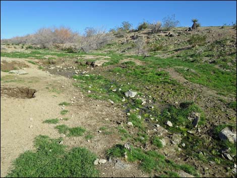 Springs area (view SE) |
 Springs area (view W) |
 Damp soil along the road (view W) |
 Lots of feral burro tracks heading to and from the spring (view W) |
 Biggest boulder along the road (view W) |
 Agua Chiquita Road forking to the right (view W) |
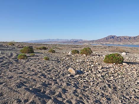
 Broad, sandy valley (view W) |
 Agua Chiquita Spring on the hillside (view NW) |
 Agua Chiquita Spring (view NW) |
 Feral burros near Agua Chiquita Spring (view SE) |
 Long, straight road past the spring (view W) |
 |
 |
 Lots of Fourwing Saltbush |
 Drivers avoiding tree by driving on bank (view W) |
 Passing a spring (view W; spring in thickets to the right) |
 Smooth, sandy road (view W) |
 Lake Mead NRA boundary sign (view W) |
 Lake Mead NRA boundary sign (view W) |
 During wet winters, water runs on the road (view W) |
 One of few saltcedar trees growing along the road (view W) |
 |
 |
 Road bends left to avoid large washout (view W) |
 Bending back to the left (view NW) |
 |
 |
 |
 |
 |
 |
 |
 |
 |
 |
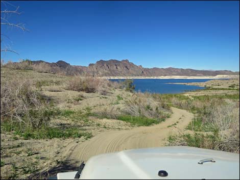
 Heading down towards the Overton Arm of Lake Mead (view W) |
 Approaching Lake Mead high-water mark (view W; note burro) |
 Below the high-water mark (view W) |
 Driving across the old lake bed (view NW) |
 Driving across the old lake bed (view SW) |
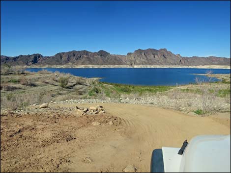
 Approaching Lake Mead (view W) |
 Road bends left to run on old beach (view W) |
 Four feral burros near the lakeshore (view NE) |
 Turning right to head down towards the water (view NW) |
 Heading towards the water (view NW) |
 Approaching Lake Mead shoreline (view NW) |
 Happy camper eating a picnic lunch on a cool winter day (view W) |
 Lake Mead shoreline at Catclaw Cove (view SW) |
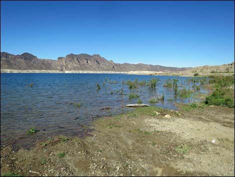 Lake Mead shoreline at Catclaw Cove (view NW) |
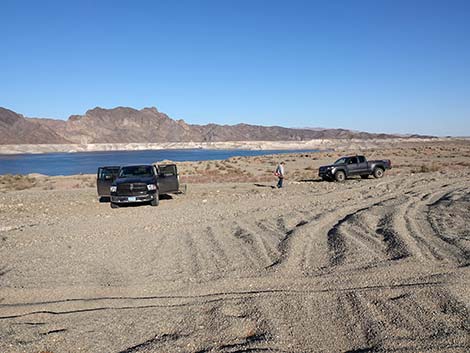 A good place to camp with big trucks (view NW) |
 A good place to camp with big trucks (view SW) |
Table 1. Highway Coordinates Based on GPS Data (NAD27; UTM Zone 11S). Download Highway GPS Waypoints (*.gpx) file.
| Wpt. | Location | Latitude (N) | Longitude (W) | Elevation (ft) | Point-to-Point Distance (mi) | Cumulative Distance (mi) |
|---|---|---|---|---|---|---|
| 1721 | Scanlon Rd at Catclaw Wash Rd | 36.25157 | 114.25770 | 3,151 | 0.00 | 0.00 |
| 1790 | Catclaw Wash Road at Quail Wash South Road | 36.25106 | 114.29321 | 2,424 | 2.20 | 2.20 |
| 1791 | Lake Mead NRA Boundary | 36.24549 | 114.33348 | 1,884 | 2.30 | 4.50 |
| 1792 | Catclaw Wash Road at Lake Mead (Feb 2017) | 36.24554 | 114.38198 | 1,089 | 3.00 | 7.50 |
Happy Hiking! All distances, elevations, and other facts are approximate.
![]() ; Last updated 240326
; Last updated 240326
| Backroads Around Las Vegas | Hiking Around Las Vegas | Glossary | Copyright, Conditions, Disclaimer | Home |