Backroads Around Las Vegas, Gold Butte National Monument
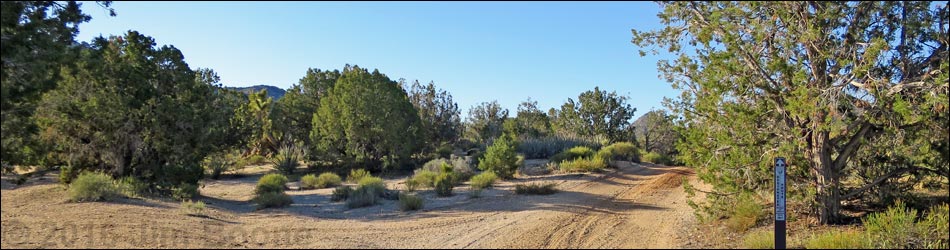
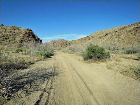
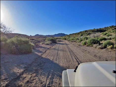
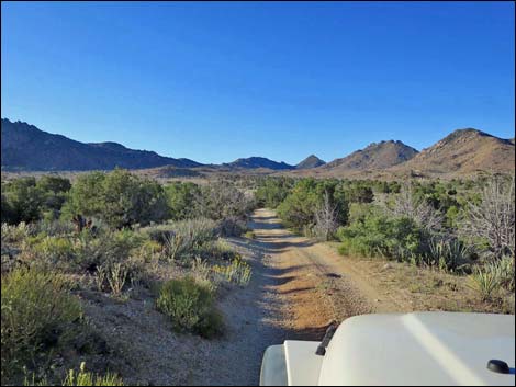
 Scanlon Road at Cedar Basin Road (view SW) |
Overview Cedar Basin Road (aka: Quail Wash Road), a side road off Scanlon Road, is located out at the far southwest end of Gold Butte National Monument and a bit south of Gold Butte Townsite. Fairly well used, most of Cedar Basin Road is fairly smooth and without too many rocks, but parts are sandy. The road is passable in a 2WD-HC vehicle, but it is safer in a 4WD because lower portions of the road run up a sandy wash. From Scanlon Road, the Cedar Basin Road runs 6 miles to dead end at the head of Cedar Basin Valley, passing quail guzzlers, springs, an historic corral, several side roads, and the Jumbo Peak Trailhead along the way. The road also provides access to northern portions of Jumbo Springs Wilderness Area. Link to map. |
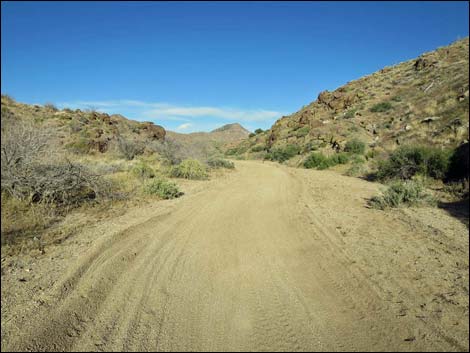
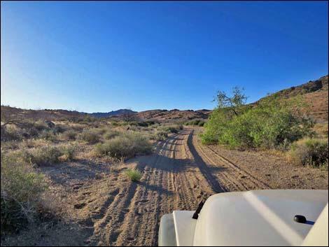
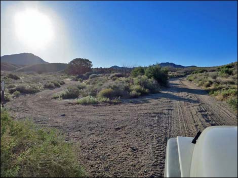
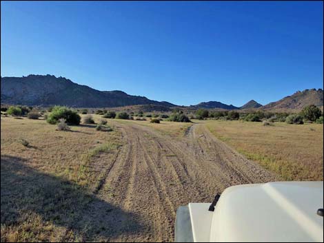
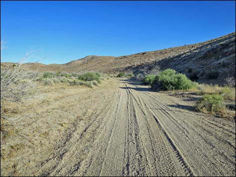 Cedar Basin Road starts up Quail Spring Wash (view SE) |
Watch Out Other than the standard warnings about driving in the desert, ... this road is fairly safe and without any unusual hazards, although some parts are sandy. This is wild and remote country without services of any kind (no restrooms, no water, no gas, no food). Bring what you need to survive. Be prepared and be self-reliant. It is a big place, but someone will eventually find you if you stay on a main road, but be prepared to survive alone for a day or two, or even longer on side roads. Consider signaling the tourist helicopters that traverse the area coming and going from the Grand Canyon. While out, please respect the land and the other people out there, and try to Leave No Trace of your passage. Also, this is a remote area, so be sure to bring the 10 Essentials. |
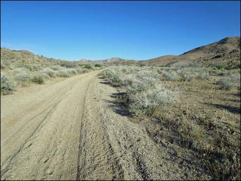
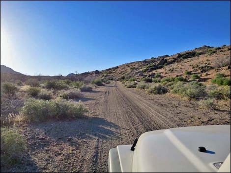
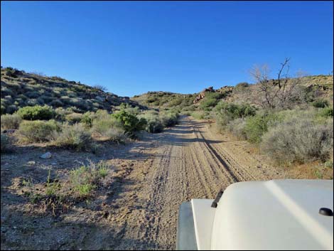
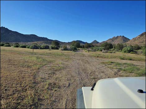
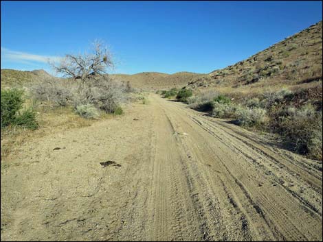 Cedar Basin Road runs up Quail Spring Wash (view SE) |
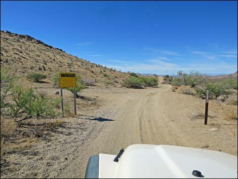
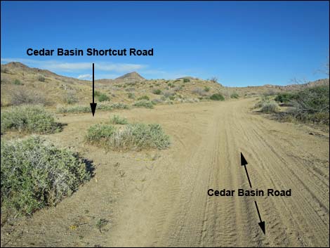
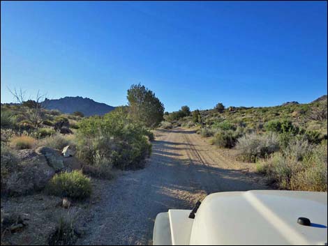
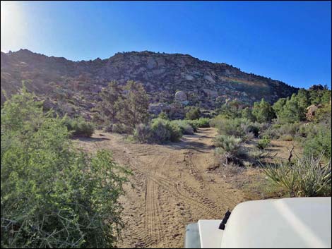
Getting to Cedar Basin Road Cedar Basin Road is located out in Gold Butte National Monument at the northeast end of Lake Mead, about 3-1/2 hours northeast of Las Vegas. From Las Vegas, drive out to Whitney Pocket, then continue south on the unpaved Gold Butte Road to Gold Butte Townsite. From the Townsite, Scanlon Road is the main road running southwest. Running across desert flats, Scanlon Road passes several minor side roads, including Cedar Basin Shortcut Road. This road, 1.0 miles past Gold Butte Townsite, is a shortcut to Cedar Basin Road. Continuing southwest on Scanlon Road, drivers eventually reach Quail Springs Wash (1.9 miles past Gold Butte Townsite), a major wash that crosses the road. Just before the wash, a black-and-yellow sign warns of flash floods. Cedar Basin Road runs up the wash to the left. |
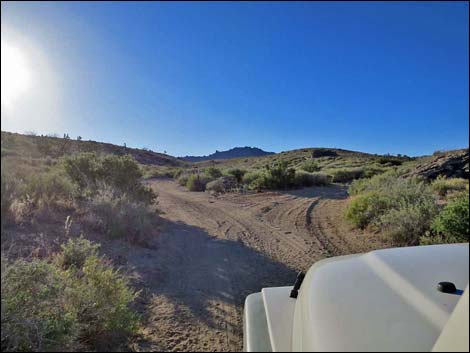
 Quail Spring Wash narrows (view E) |
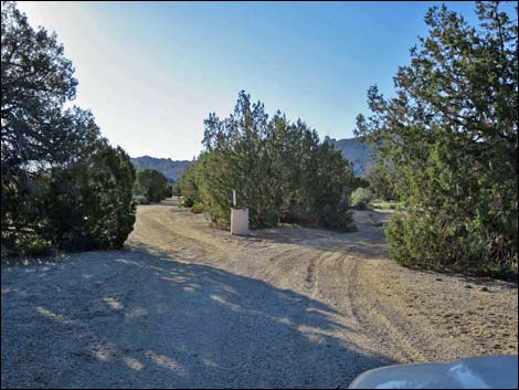
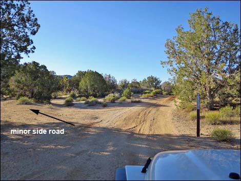
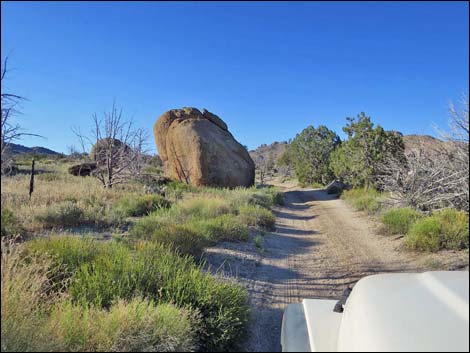
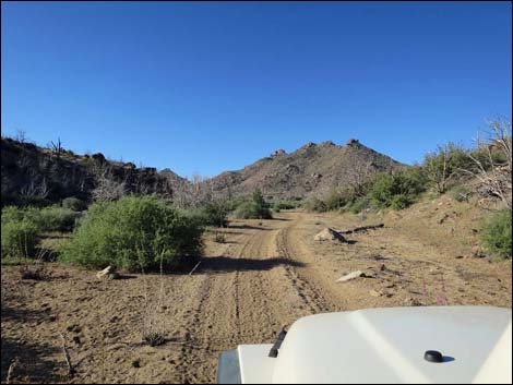
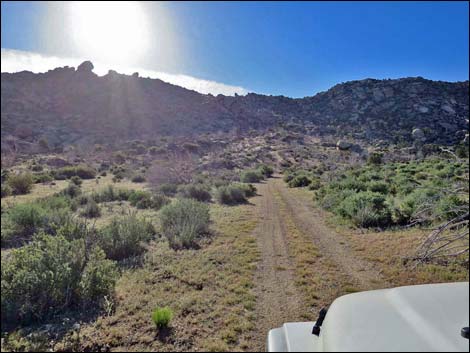
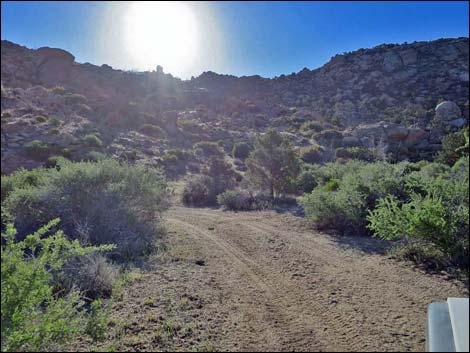
The Road From Scanlon Road at Quail Springs Wash (Table 1, Site 1708), Cedar Basin Road turns left and starts up the sandy, but fairly firm wash, generally heading southeast. At about 0.5 miles out, the road enters a fairly narrow, pretty canyon with craggy walls. At about 1.0 miles out, Cedar Basin Road is joined by Cedar Basin Shortcut Road (Site 1709) from the left. Cedar Basin Road remains sandy in this area, but eventually becomes more firm. Continuing southeast up Quail Springs Wash, Cedar Basin Road passes three minor side roads, the first forks off to the right (Site 1710), the second forks off to the left (Site 1711), and the third forks off to the right (Site 1712). At the first fork, it is not entirely clear which is the main road, but the other two are more obvious. Cedar Basin Road eventually reaches a major fork (Site 1713) in an area forested with Singleleaf Pinyon Pine and Utah Juniper. This fork is marked with a white 55-gallon drum used for a trash can, but nobody picks up the trash. |
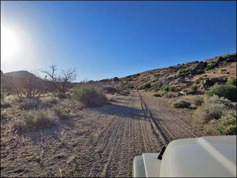
 Quail Spring Wash remains narrow (view NE) |
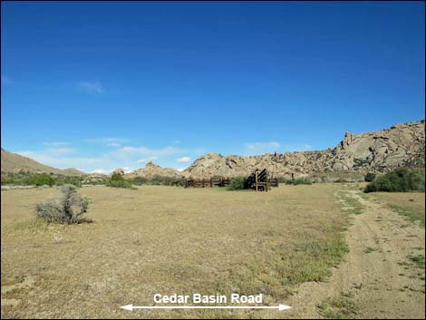
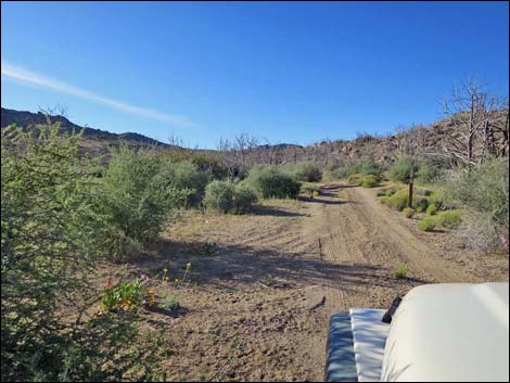
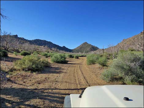
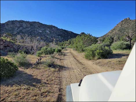
The left fork leads northeast to Radio Crystal Mine Site and Pierson Gap, and even back to Gold Butte Townsite. The road right runs south towards the head of Cedar Basin, passing Grapevine Spring (dry) and the Jumbo Peak Trailhead along the way. Staying right, Cedar Basin Road winds among trees and quickly forks again (Site 1714). Cedar Basin Road stays right, while the left runs out towards Grapevine Spring. Continuing south, the road enters an open valley bottom with a fork left that leads to a large historic corral, and then a 4-way intersection (Site 1715), the left of which also leads to the corral, which is visible from Cedar Basin Road. Cedar Basin Road continues south where the hills pinch in to form a broad canyon rather than a basin, but this is still part of Cedar Basin. |
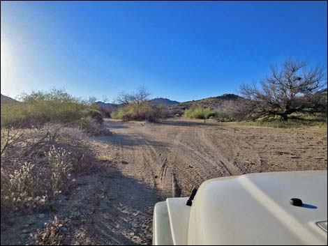
 Quail Spring Wash widens (view NE) |
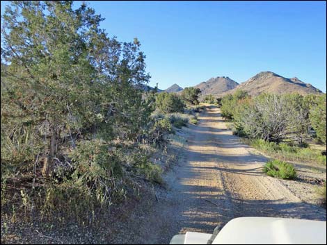
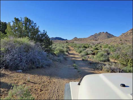
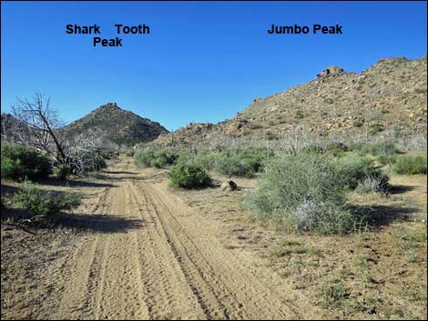
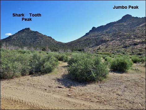
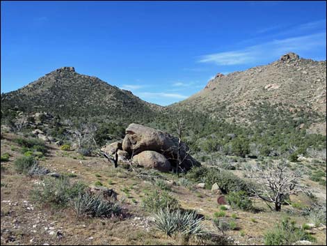
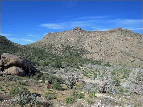
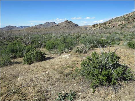
Passing an isolated hill on the right, the road drops into the main wash that runs through the canyon. At this point, a side road (Site 1716) forks hard to the left and is easy to miss when driving south. This side road follows the wash back north to Grapevine Spring. Running south, the high, craggy ridge on the right is Jumbo Peak (5,761 ft). Shark Tooth Peak (5,604 ft) lies straight ahead at the head of the canyon, and Peak 1662 (5,453 ft) caps the ridge on the left. Shark Tooth Peak and Peak 1662 are on the boundary of Jumbo Springs Wilderness Area. Cedar Basin Road continues south in the wash, but eventually leaves the wash to the left and begins angling up across the gentle hillside. Shortly after leaving the wash, Cedar Basin Road passes an open spot among burned trees that serves as the trailhead for Jumbo Peak (Site 1717), which now stands tall on the right. Shortly thereafter, the road runs up into an open side canyon and ends at a turn-about (Site 1718) in an area with some old mining prospects at a white quartz outcrop. |
 Cedar Basin Road at Cedar Basin Shortcut Road (view SE) |
 Sandy road remains firm (view SE) |
 |
 |
 Road forks; Cedar Basin Road stays left (view SE) |
 Sandy road remains firm (view SE) |
 Road forks; Cedar Basin Road stays right (view SE) |
 Road runs among low hills (view SE) |
 Road forks; Cedar Basin Road stays right (view SE) |
 Road runs through Cedar Basin (view SE) |
 Major fork with 55-gal drum; Cedar Basin Rd stays right (view ESE) |
 Road forks; Cedar Basin Road stays right (view S) |
 |
 |
 Road forks; Cedar Basin Road stays right (view S) |
 4-way intersection; Cedar Basin Road stays straight (view S) |
 Cedar Basin Corral (view E from Cedar Basin Road) |
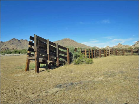 Cedar Basin Corral (view N) |
 Cedar Basin Road continues (view S) |
 Cedar Basin Road crosses shallow wash (view S) |
 Cedar Basin Road continues (view S) |
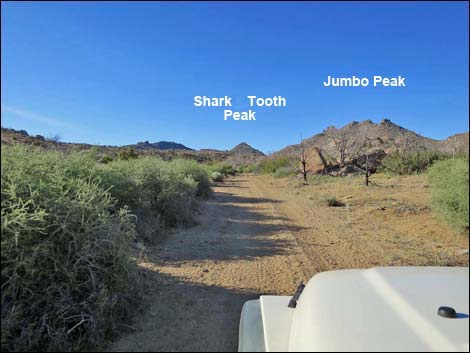 Shark Tooth and Jumbo peaks (view S) |
 Cedar Basin Road continues (view S) |
 |
 |
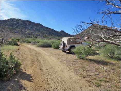 Vehicle at Jumbo Peak Trailhead (view SE) |
 Shark Tooth and Jumbo peaks (view SW from trailhead) |
 Cedar Basin Road departs wash (view SE) |
 Approaching the end of the road (view SE) |
 Road forks at turn-about loop (view SE) |
 Top of the turn-about loop (view E) |
 Shark Tooth and Jumbo peaks (view SSW from end of the road) |
 Jumbo Peak (view SW from end of the road) |
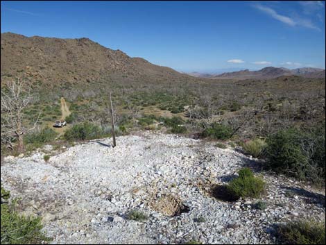 Prospect near end of the road (view NW across Jumbo Basin) |
 Shrubs recovering from fire near end of the road (view NW) |
 More to come ... |
Table 1. Highway Coordinates Based on GPS Data (NAD27; UTM Zone 11S). Download highway GPS waypoints (*.gpx) file.
| Wpt. | Location | Latitude (N) | Longitude (W) | Elevation (ft) | Point-to-Point Distance (mi) | Cumulative Distance (mi) | Verified |
|---|---|---|---|---|---|---|---|
| 1708 | Scanlon Rd at Cedar Basin Wash Road | 36.26481 | 114.22607 | 3,139 | 0.00 | 0.00 | Yes |
| 1709 | Cedar Basin Rd at Cedar Basin Shortcut Rd | 36.26218 | 114.20908 | 3,701 | 1.07 | 1.07 | Yes |
| 1710 | Cedar Basin Rd at Side Road Right | 36.25615 | 114.19649 | 3,860 | 0.84 | 1.91 | Yes |
| 1711 | Cedar Basin Rd at Side Road Left | 36.25318 | 114.19157 | 3,945 | 0.35 | 2.26 | Yes |
| 1712 | Cedar Basin Rd at Side Road Right | 36.25004 | 114.18974 | 4,002 | 0.25 | 2.51 | Yes |
| 1713 | Cedar Basin Rd at Major Fork | 36.24478 | 114.17832 | 4,212 | 0.79 | 3.30 | Yes |
| 1714 | Cedar Basin Rd at Minor Fork | 36.24431 | 114.17786 | 4,219 | 0.05 | 3.35 | Yes |
| 1715 | Cedar Basin Rd at Corral Road | 36.24110 | 114.17687 | 4,228 | 0.23 | 3.58 | Yes |
| 1716 | Cedar Basin Rd at Side Rd | 36.23084 | 114.17395 | 4,367 | 0.76 | 4.34 | Yes |
| 1717 | Cedar Basin Rd at Jumbo Peak Trailhead | 36.21133 | 114.17153 | 4,703 | 1.44 | 5.78 | Yes |
| 1718 | Cedar Basin Rd End | 36.20920 | 114.16932 | 4,783 | 0.20 | 5.98 | Yes |
Happy Hiking! All distances, elevations, and other facts are approximate.
![]() ; Last updated 240326
; Last updated 240326
| Backroads Around Las Vegas | Hiking Around Las Vegas | Glossary | Copyright, Conditions, Disclaimer | Home |