Backroads Around Las Vegas, Gold Butte National Monument
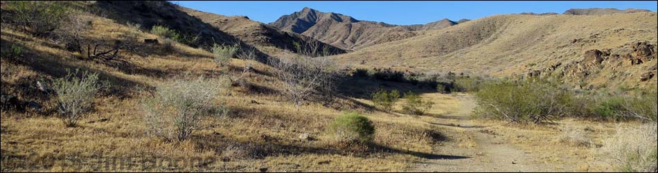
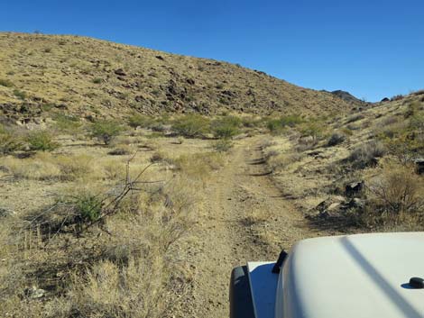
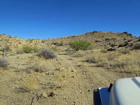
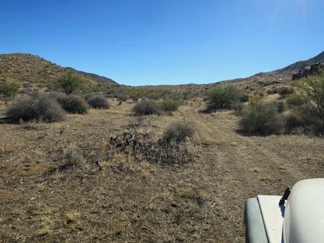
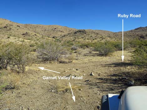
 Scanlon Rd approaching Garnet Valley Road (view S) |
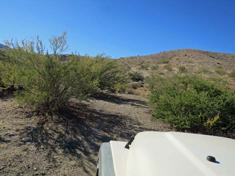
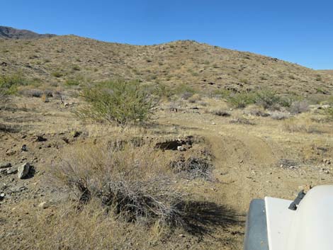
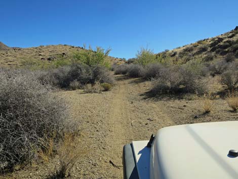
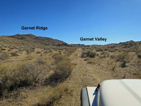
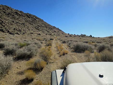
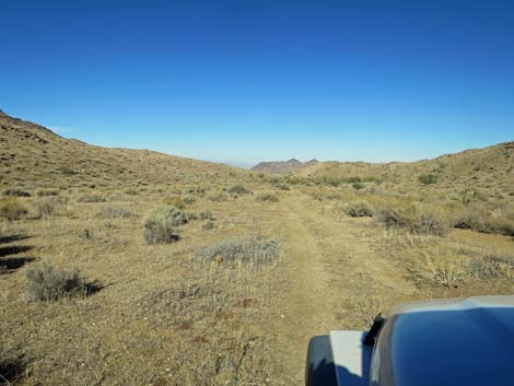
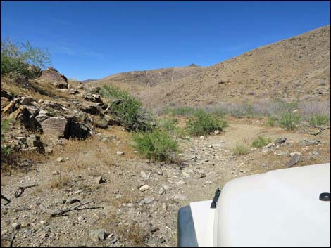
Overview Garnet Valley Road is located out at the far southwest end of Gold Butte National Monument, a side road off Scanlon Road. Little used, most of Garnet Valley Road is fairly smooth and without too many rocks, but the valley bottom is thickly vegetated with catclaw acacia that over-grows the road. Some of the catclaw branches are stout, and any vehicle that traverses this road will receive desert pin-striping sufficient to remind everyone of the adventure. Garnet Valley Road might be passable in a 2WD-HC vehicle, but it is safer in a short-wheel-base 4WD vehicle because the road turns tightly, dips across the wash several times, and parts are a bit sandy. From Scanlon Road, the road runs 4 miles to dead end at the head of Garnet Valley, passing three guzzlers, Ruby Spring (almost dry), and the Bonelli Peak Trailhead along the way. Link to Garnet Valley Road Map. |
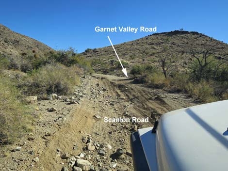
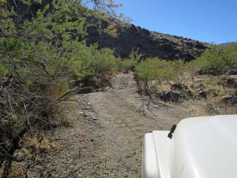
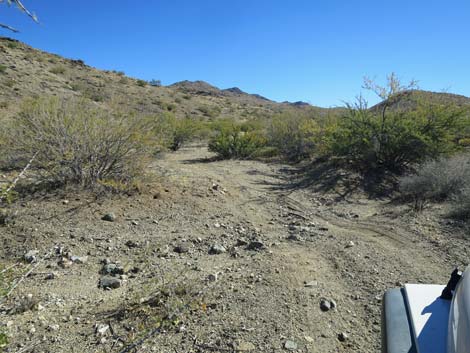
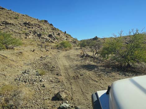
 Scanlon Rd at Garnet Valley Road (view S) |
Watch Out Other than the standard warnings about driving in the desert, ... this is a fairly safe road without unusual hazards, but vehicles will receive a good dose of desert pin-striping. Keep hands, arms, and clothing inside the vehicle or understand the meaning of the other name for catclaw acacia: wait-a-minute bush. This is wild and remote country without services of any kind (no restrooms, no water, no gas, no food). Bring what you need to survive. Be prepared and be self-reliant. It is a big place, but someone will eventually find you if you stay on a main road, but be prepared to survive alone for a day or two, or even longer on side roads. Cell phones don't work here. Consider signaling the tourist helicopters that traverse the area coming and going from the Grand Canyon. While out, please respect the land and the other people out there, and try to Leave No Trace of your passage. Also, this is a remote area, so be sure to bring the 10 Essentials. |
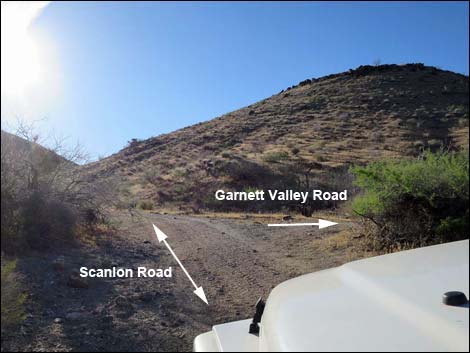
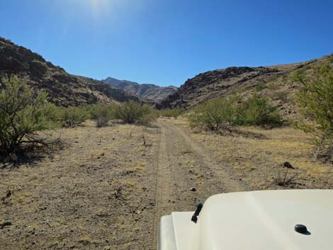
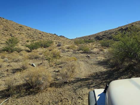
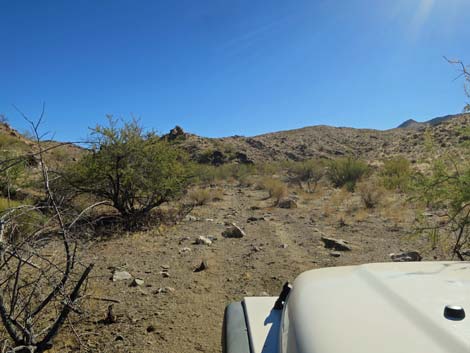
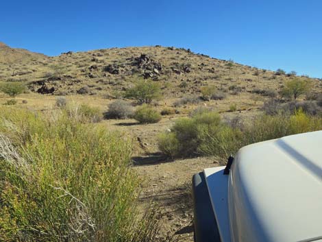
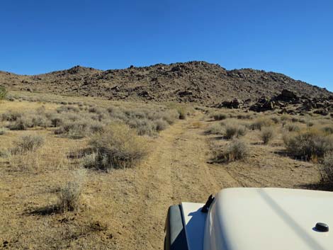
 Garnet Valley Road (view S from Scanlon Road) |
Getting to Garnet Valley Road Garnet Valley Road is located out in Gold Butte National Monument at the northeast end of Lake Mead, about 5 hours northeast of Las Vegas. From Las Vegas, drive out Gold Butte Road 21 miles to Whitney Pocket at the end of the pavement. Continue south on the unpaved Gold Butte Road 20 miles to Gold Butte Townsite. From the townsite, the main road continues southwest as Scanlon Road. Drive south on Scanlon Road 9.8 miles to Garnet Valley Road, on the right. |
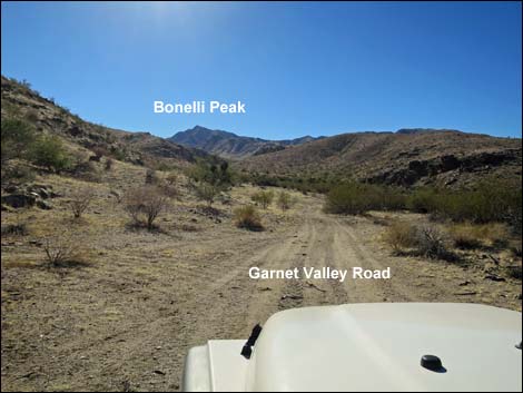
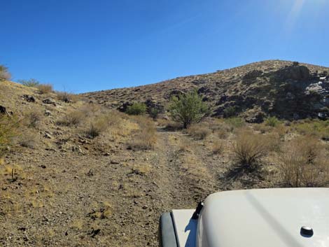
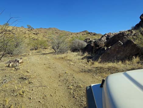
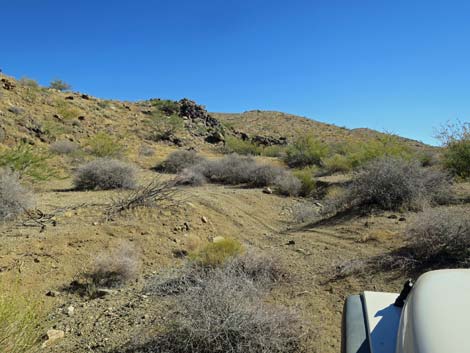
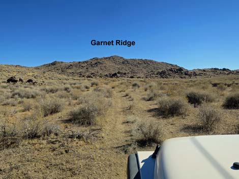
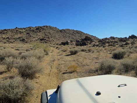
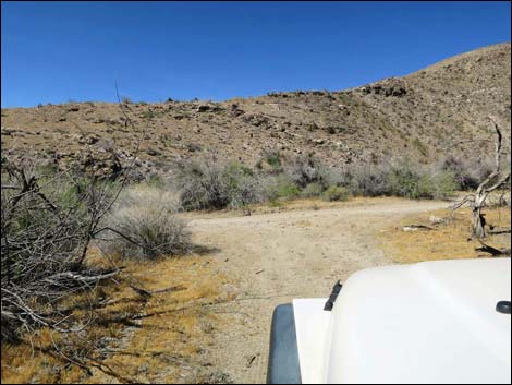
 Garnet Valley Road (view S) |
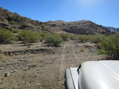
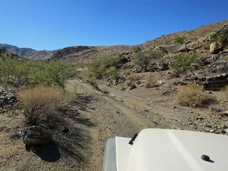
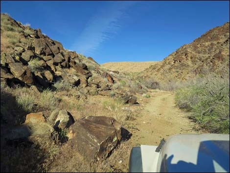
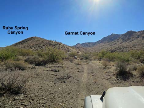
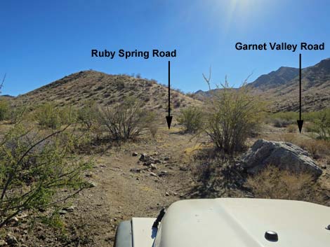
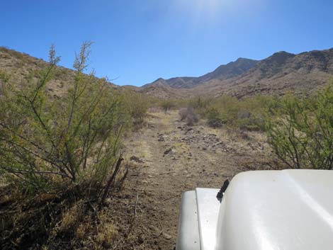
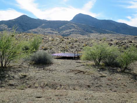
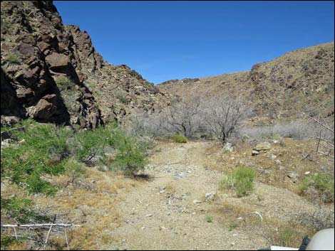
The Road From Scanlon Road (Site 1725), Garnet Valley Road quickly passes the first of three quail guzzlers (0.2 miles out), this one on the hillside across the valley to the right. At about 0.7 miles out, the road winds up the wash through a narrow spot in the canyon packed with catclaw acacia, then emerges into Garnet Valley. The road remains narrow, winding among rocks, catclaw acacia and other bushes, and eventually reaches an obscure fork (Site 1726) where the canyon splits. The more obvious Ruby Spring Road stays left and runs southeast up a side canyon to dead-end at Ruby Spring. Ruby Spring produces little water, but there is enough to attract bees, birds, feral burros, and even trespass cows early in the year. At the obscure fork (Site 1726), Garnet Valley Road turns hard to the right and backtracks down the wash a few yards, then quickly bends back hard to the left and continues up Garnet Valley. |
 Quail guzzler on hillside across the valley (view SW) |
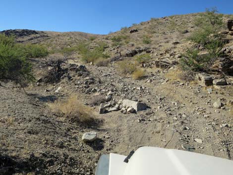
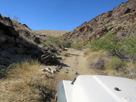
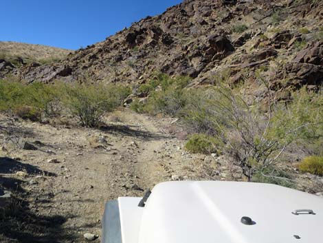
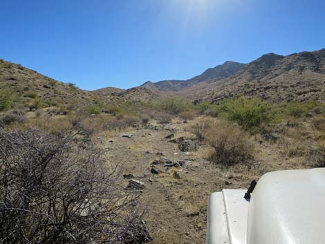
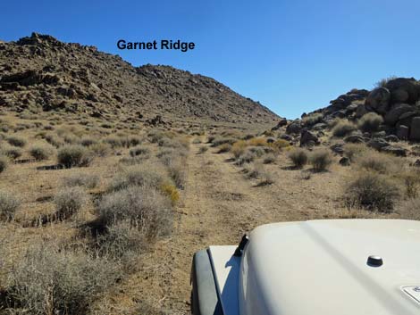
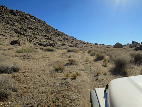
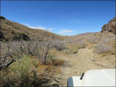
At about 1.4 miles out, Garnet Valley Road passes below a second guzzler on the hillside to the left. For hikers intending to climb Bonelli Peak, park here at a wide spot in the road (Site 1727) that serves as parking for guzzler maintenance. Park here; this is the trailhead. The road, obscure in places, continues up Garnet Valley winding among bushes and rocks, and dodging back and forth across the wash. At about 1.4 miles out, the road passes another quail guzzler, on the right. The area burned and there isn't much cover for quail here. At about 1.7 miles out, the road bends left to head away from the main wash. The road runs east across open flats, then bends south into an open canyon along the base of the ridge (perhaps Garnet Ridge) that forms the east side of the valley. |
 |
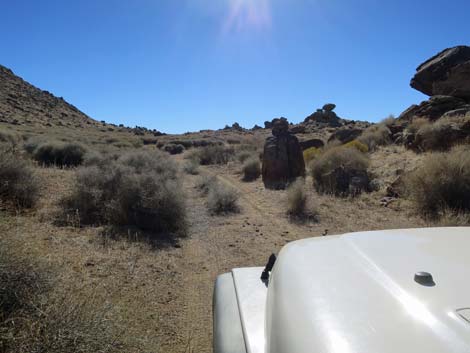
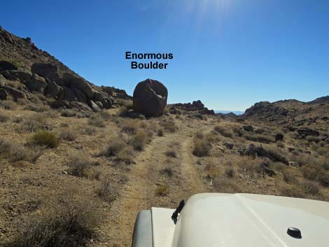
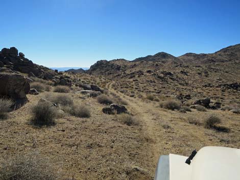
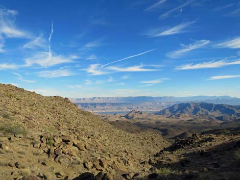
Following the canyon south, the road climbs gently and eventually approaches an enormous boulder that rolled down the hillside from somewhere up on Garnet Ridge. Just before the boulder, evidence of Garnet Miner's Camp is revealed by metal junk (both sides of the road) and a stone wall on the right. Tailings from prospects and shallow mine shafts can be seen high on the side of Garnet Ridge. Continuing, Garnet Valley Road runs up onto a saddle with long views north and south. The mountains to the south are in Arizona. The road continues down to a stand of catclaw acacia and maybe some mesquite and a dry spring (Site 1848). From there, the road goes a short way farther, but it gets narrower and narrower, and the options for turning around quickly become quite limited. I wouldn't bother to drive beyond the trees, or even beyond the saddle next time. |
 |
 |
 |
 |
 |
 |
 |
 |
 |
 |
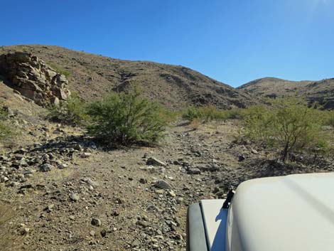
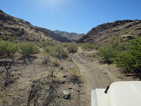
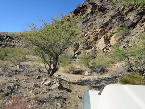
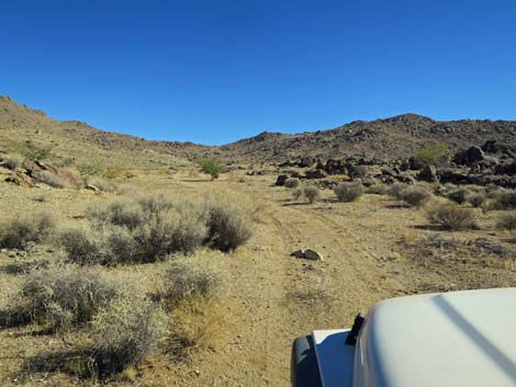
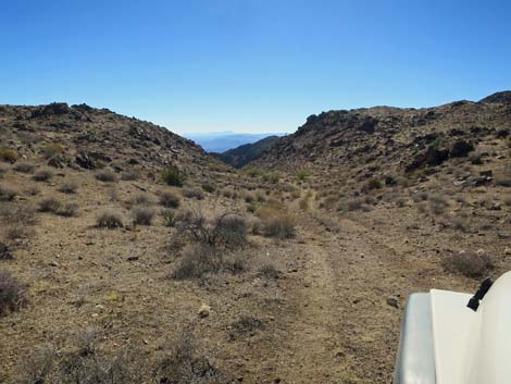
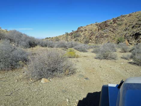
 Entering the narrow section (view W) |
 Lots of catclaw acacia along here |
 |
 |
 |
 |
 |
 |
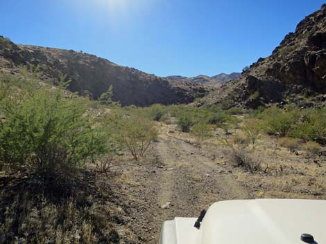
 Approaching Ruby Spring Canyon (view S) |
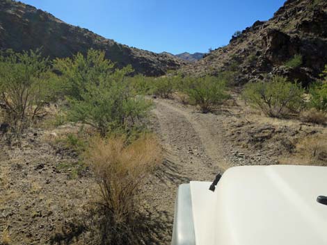
 Obscure fork in the road (view S) |
 Ruby Spring Road (view SE from Garnet Valley Road) |
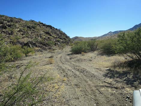
 Garnet Valley Road quickly bends back to the south (view W) |
 |
 |
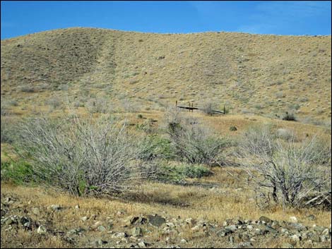
 Second quail guzzler (on the left; view SE) |
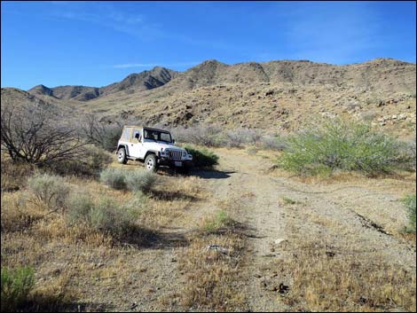 Vehicle, facing out, parked at Bonelli Peak Trailhead (view SW) |
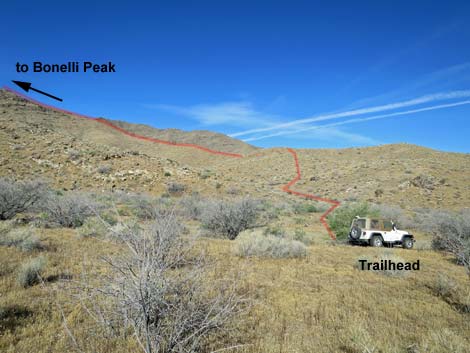 Vehicle parked at Bonelli Peak Trailhead (view W) |
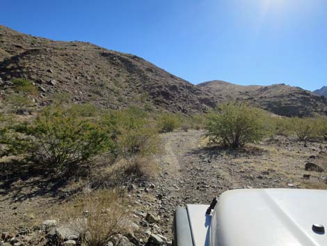
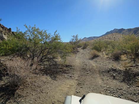
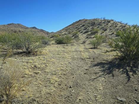
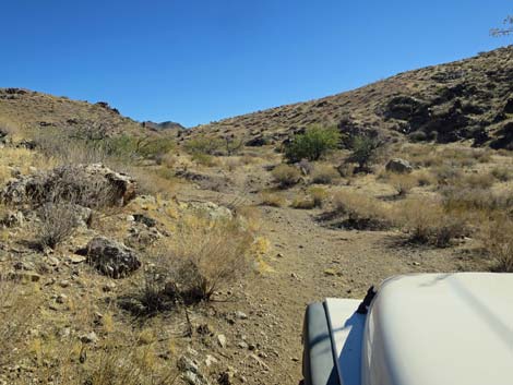
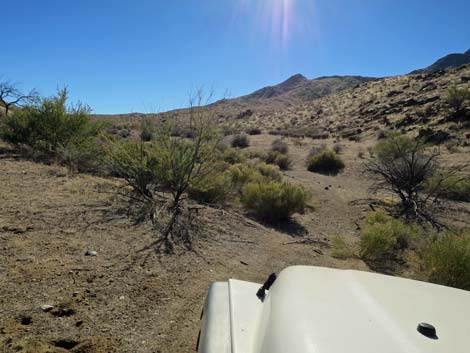
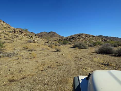
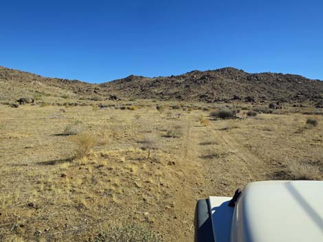
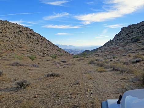
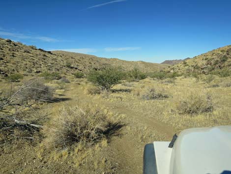
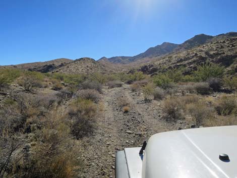 The road continues up Garnet Valley (view S) |
 |
 |
 |
 |
 |
 |
 |
 |
 |
 |
 |
 |
 |
 |
 |
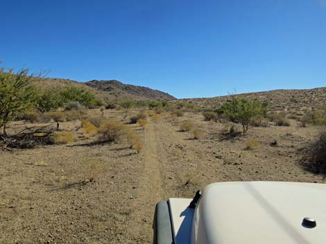 |
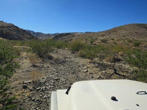
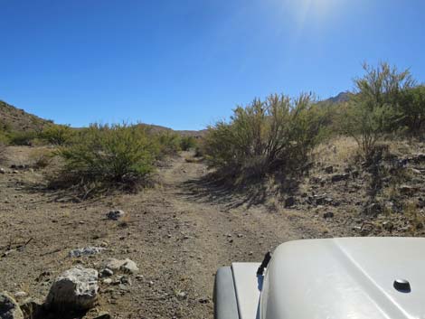
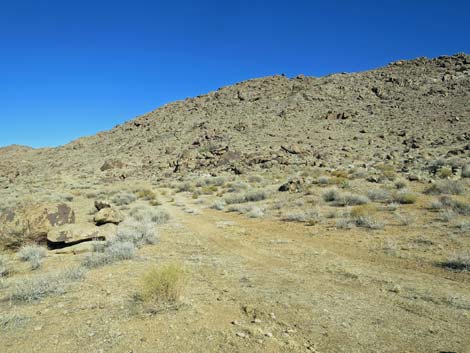
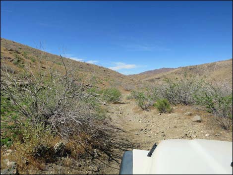
 Pleasant roadway (view S) |
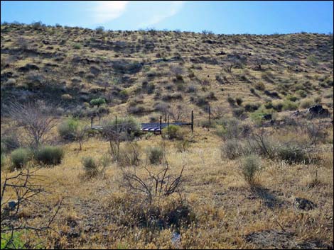
 Quail guzzler, on the right (view W from GV Road) |
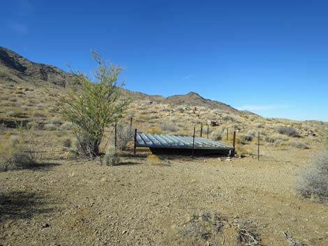 Quail guzzler |
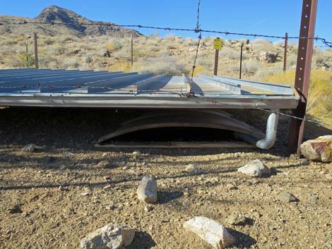 Quail guzzler; only small creatures can get water here |
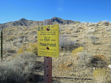 Information sign at Quail guzzler |
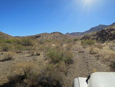
 The road continues up Garnet Valley (view S) |
 |
 |
 |
 |
 |
 |
 |
 |
 |
 |
 The road passes the miner's camp (view S) |
 Saddle (view S) |
 The road runs down to trees, then gets bad |
 End of GV Road (view S into Arizona) |
 |
 |
 |
 |
 |
 |
 |
 |
 |
 |
 GV Road at Scanlon Road (view N) |
 More to come ... |
Table 1. Highway Coordinates Based on GPS Data (NAD27; UTM Zone 11S). Download Highway GPS Waypoints (*.gpx) file.
| Wpt. | Location | Latitude (N) | Longitude (W) | Elevation (ft) | Point-to-Point Distance (mi) | Cumulative Distance (mi) |
|---|---|---|---|---|---|---|
| 1725 | Scanlon Rd at Garnet Valley Rd | 36.18770 | 114.24774 | 2,978 | 0.00 | 0.00 |
| 1726 | Garnet Valley Rd at Ruby Spring Rd | 36.17286 | 114.24652 | 3,236 | 1.22 | 1.22 |
| 1727 | Garnet Valley Rd at Bonelli Peak Trailhead | 36.17118 | 114.24663 | 3,268 | 0.14 | 1.36 |
| 1848 | Garnet Valley Road at Garnet Valley Spring | 36.14782 | 114.22460 | 3,906 | 2.42 | 3.78 |
Happy Hiking! All distances, elevations, and other facts are approximate.
![]() ; Last updated 240326
; Last updated 240326
| Backroads Around Las Vegas | Hiking Around Las Vegas | Glossary | Copyright, Conditions, Disclaimer | Home |