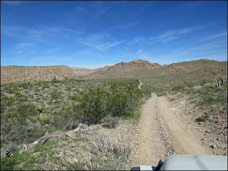
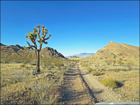
Red Bluff Spring Road - Northbound
Backroads Around Las Vegas, Gold Butte
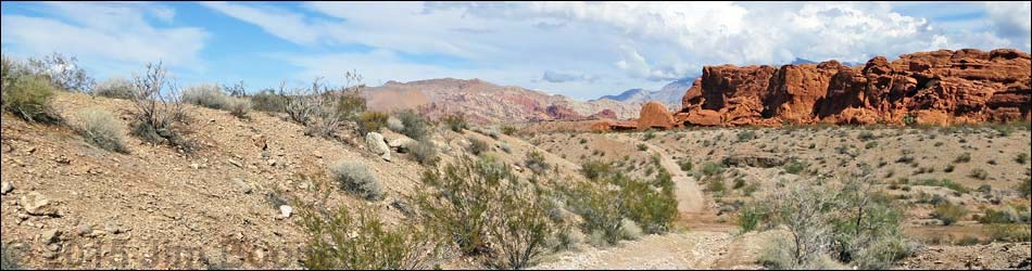
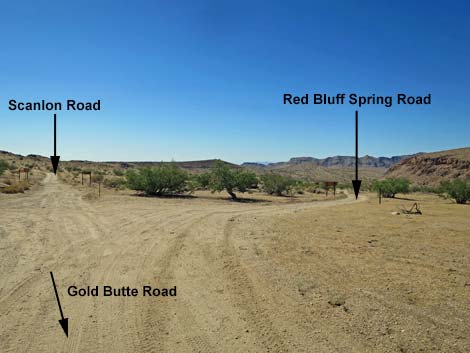
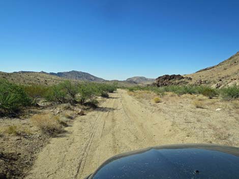
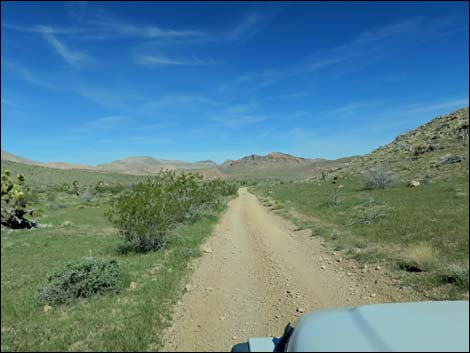
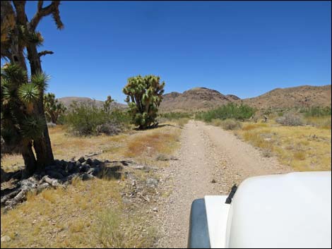
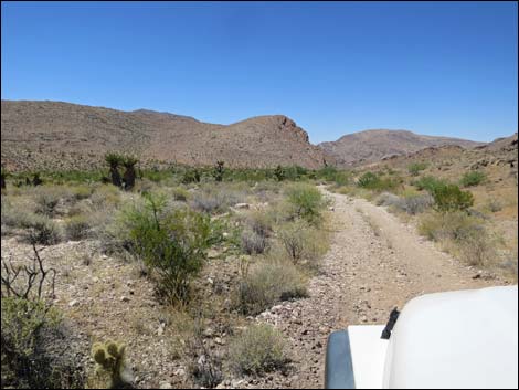
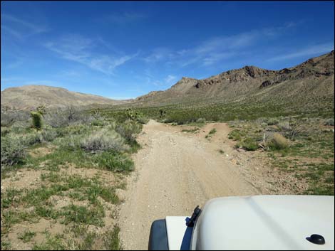
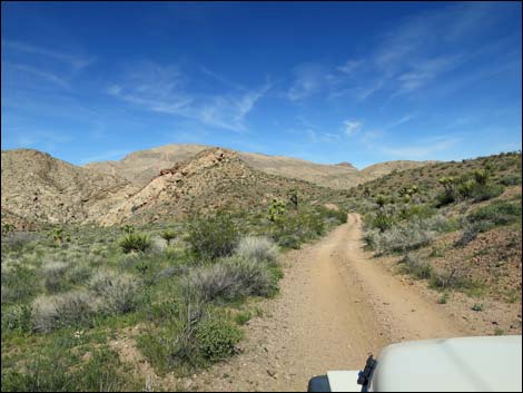
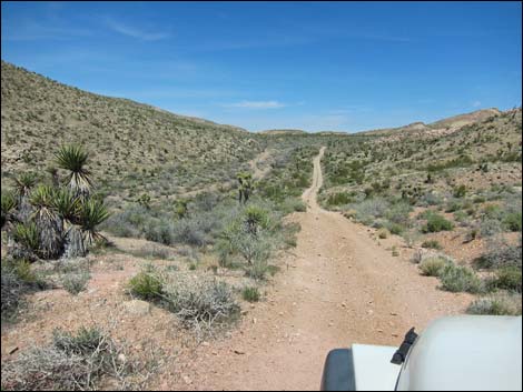
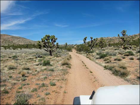
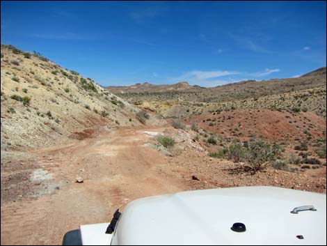
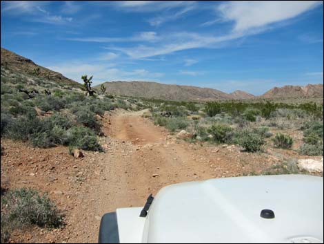
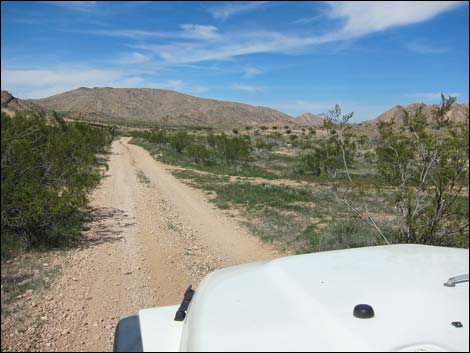
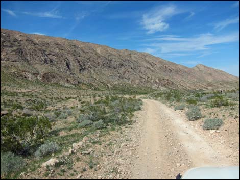
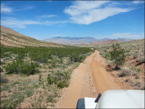
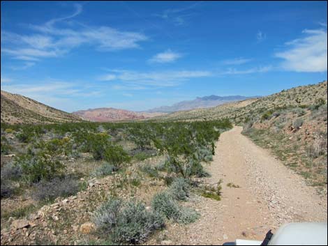
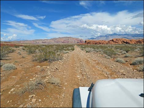
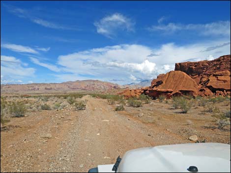
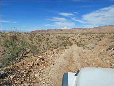
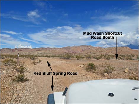
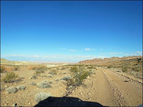
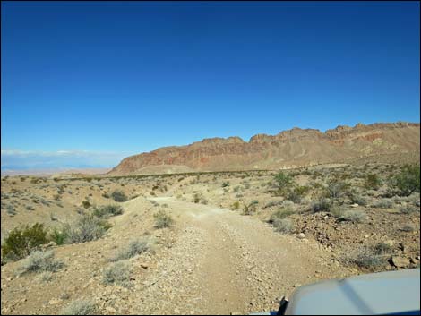
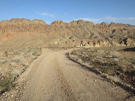
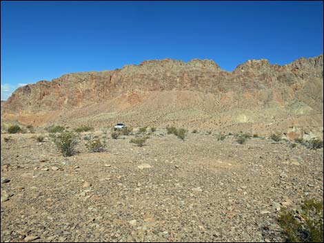
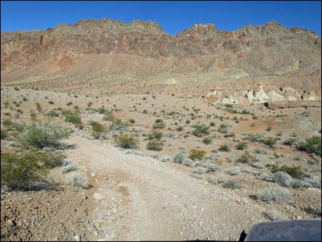
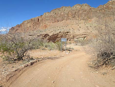
 Gold Butte Road approaching Red Bluff Spring Road (view SW) |
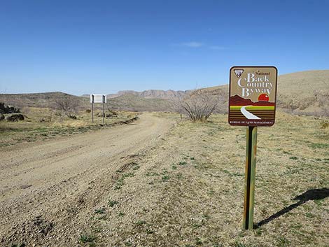
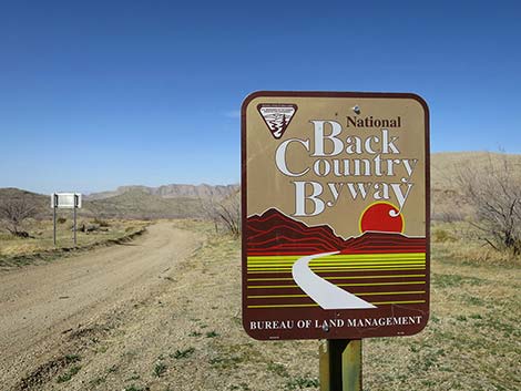
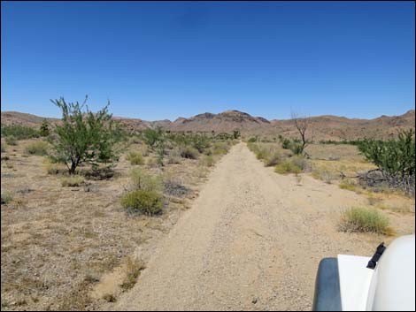
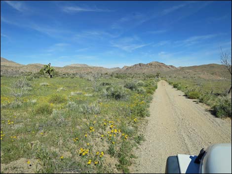
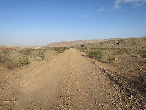
Note (Aug 2023): The road is washed out, but passable northbound in 2WD-HC vehicles. Overview Red Bluff Spring Road is a 14.6-mile scenic dirt road that connects the unpaved Gold Butte Road (at Gold Butte Townsite) in the south with Mud Wash Road in the north (near to Red Bluff Spring). Doing so, the road runs between Lime Ridge to the west (Lime Canyon Wilderness Area) and Tramp Ridge to the east. Red Bluff Spring Road was "graded" in April 2017, but it remains rough. The road normally can be driven northbound in a 2WD-HC vehicle (e.g., Subaru Forrester), but when driving southbound, it is easier with 4WD because in that direction the road climbs several steep, rocky hills. Red Bluff Spring Road is one segment of the Gold Butte Backcountry Byway, a 99-mile scenic drive that starts near the town of Mesquite and loops south into the wild and rugged Gold Butte region. Link to road map. |
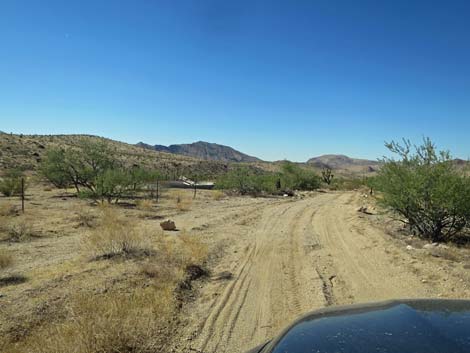
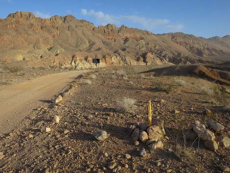
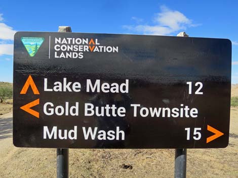 Red Bluff Spring Road sign (view SW from Gold Butte Road) |
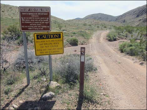
Watch Out Other than the standard warnings about hiking in the desert, ... this is a wild and remote area without services of any kind (no restrooms, no water, no gas, no food). Bring what you need to survive. Be prepared and be self-reliant. Someone will find you eventually if you stay on a main road, but be prepared to survive alone for a day or two. While out, please respect the land and the other people out there, and try to Leave No Trace of your passage. Also, this is a remote area, so be sure to bring the 10 Essentials. |
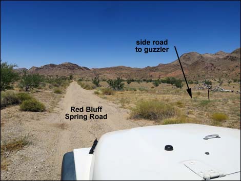
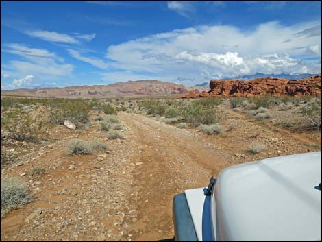
 Gold Butte Road approaching Red Bluff Spring Road (view SW) |
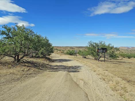
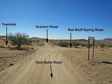
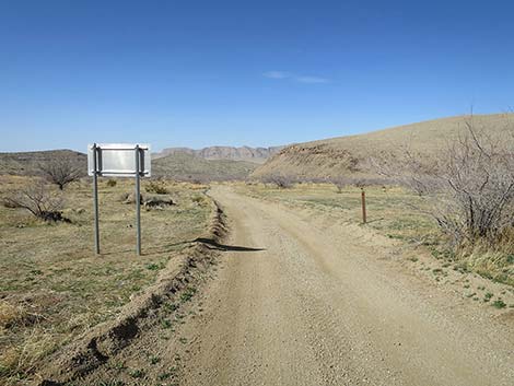
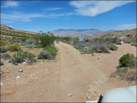
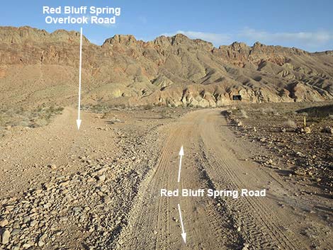
Getting to Red Bluff Spring Road The south end of Red Bluff Spring Road is located out in Gold Butte northeast of Lake Mead, about 3 hours northeast of Las Vegas in a wild, remote, and scenic area. From town, drive out to Gold Butte. Drive south on the paved Gold Butte Road to Whitney Pocket where the pavement ends. Continue south on the scenic unpaved Gold Butte Road for 20 miles to Gold Butte Townsite on the left. A few yards farther along the main road, a road sign announces Red Bluff Spring Road, ahead on the right. |
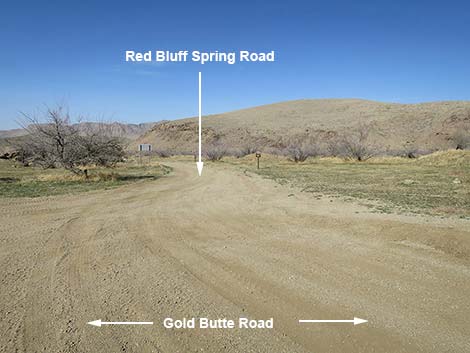
 Gold Butte Road at Red Bluff Spring Road (view NW) |
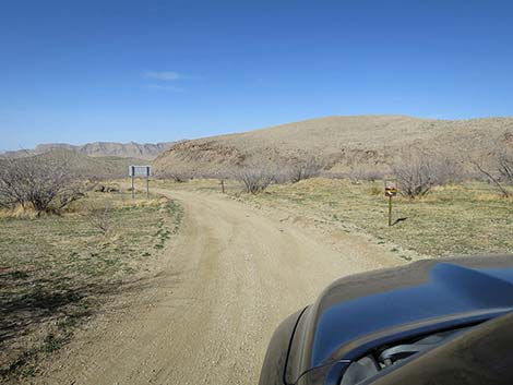
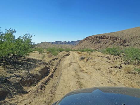
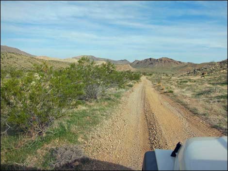
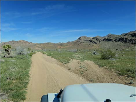
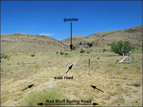
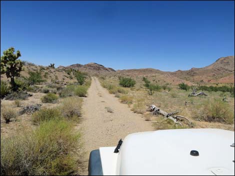
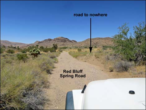
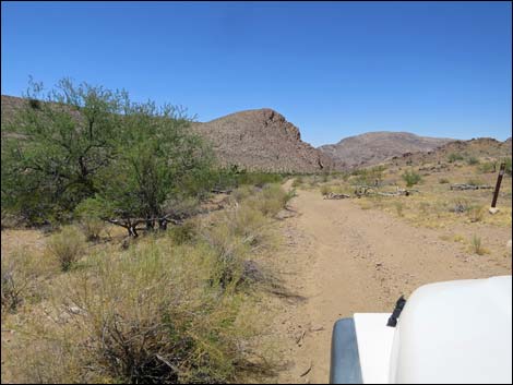
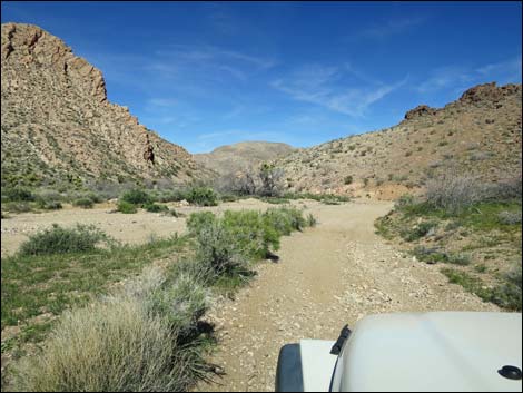
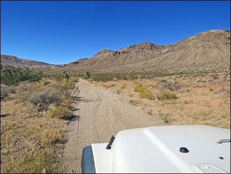
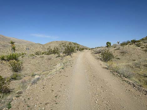
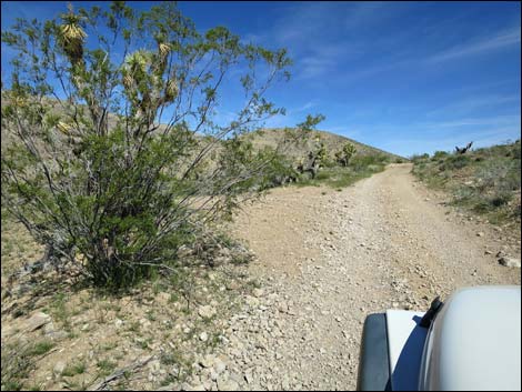
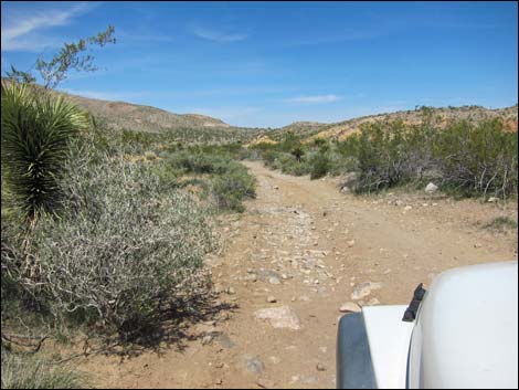
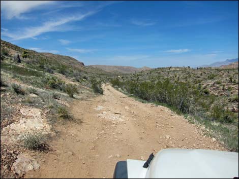
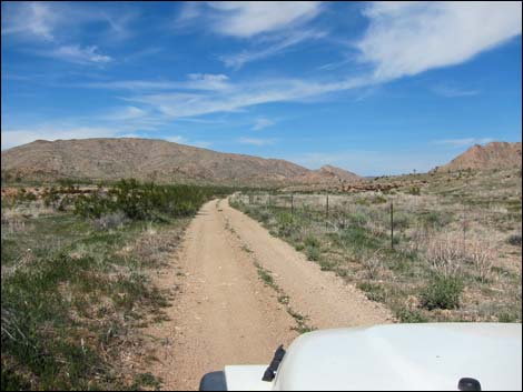
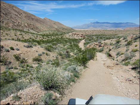
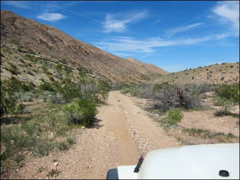
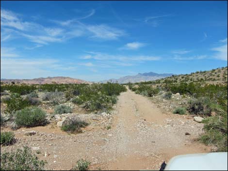
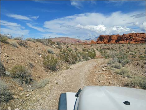
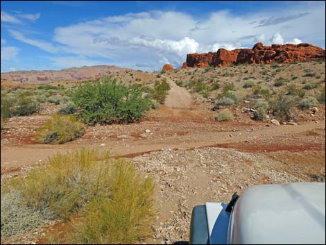
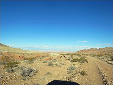
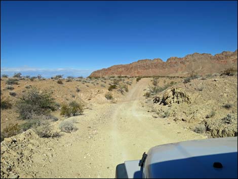
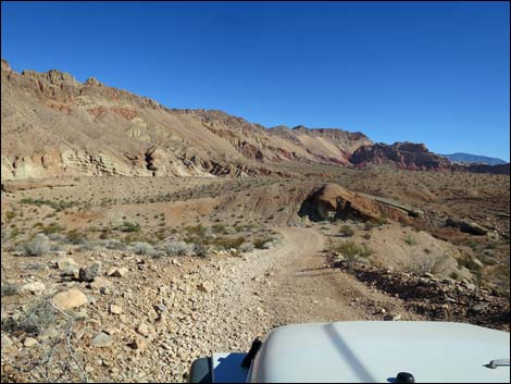
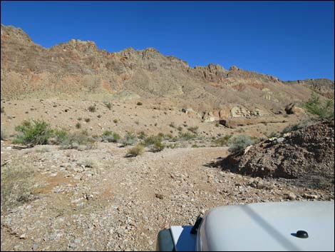
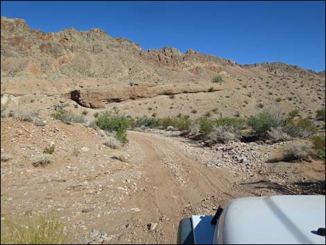
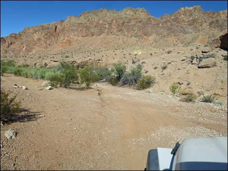
The Road From Gold Butte Road (Table 1, Site 0806), Red Bluff Spring Road heads northwest across the desert running towards the valley between Tramp Ridge to the east and Lime Ridge to the west. Running past the toe of Tramp Ridge, the road skirts the hillside and passes an old corral, on the left (0.7 miles out). The road gets washed out in this area, so pick the track most used by others staying to the right along the steep hillside. Past the old corral, the canyon opens as the road passes a very minor side road to the right (1.1 miles out). This road runs out towards cliff and ends at a quail guzzler. The side road actually loops back into the main road at about 1.3 miles out. At about 1.6 miles out, a very minor side road forks right. This is a road to nowhere that rejoins the main road about 1.9 miles out. |
 Red Bluff Spring Road (view NW from Gold Butte Road) |
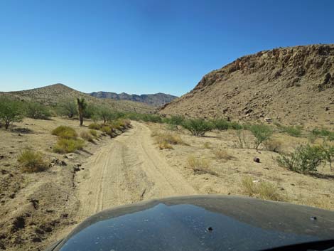
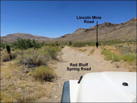
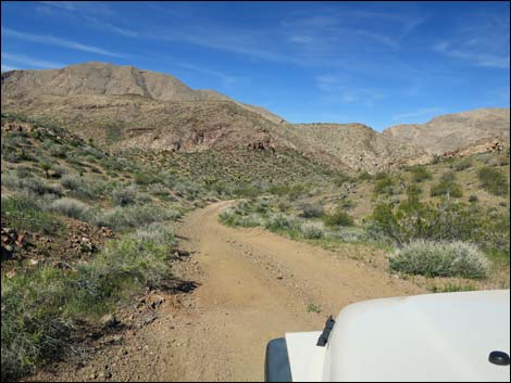
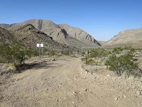
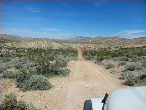
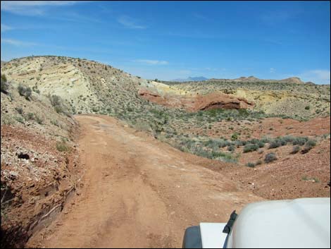
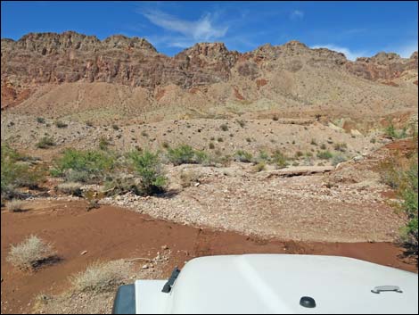
The road eventually runs back into the main wash and passes through a gap between rocky ridges. Just beyond, about 2.3 miles out, the road passes Lincoln Mine Road (Site 1692). This road loops out east, passing below the Lincoln Mine, and eventually returns to the main road many miles ahead. At about 2.7 miles out, the road drops rather steeply down a narrow section with loose rocks and gravel. There are several sections like that along Red Bluff Spring Road, making it easier to drive this road northbound in 2WD vehicles than to drive it in the opposite direction. Beyond the steep hill, the road bends right to run more due north and a large sign can be seen ahead on the left. The sits at the head of Lime Canyon Road (Site 1690), which provides cherry-stem access into the Lime Canyon Wilderness Area. This side road leads about 1 mile to the Lime Canyon Trailhead, and the hike down the narrow canyon is very nice. By this time, and for the next many miles, all of the land west of the road is Lime Canyon Wilderness Area. |
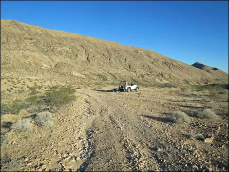
 Starting north on RBS Rd (view NW) |
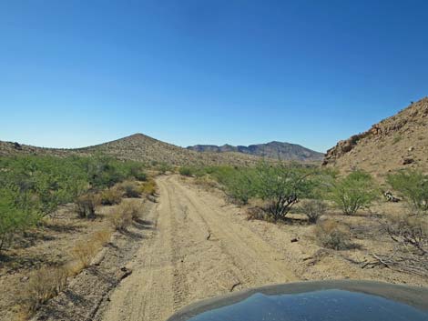
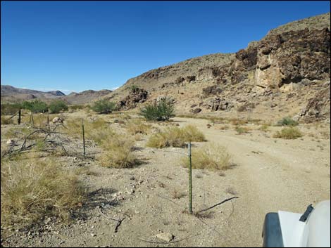
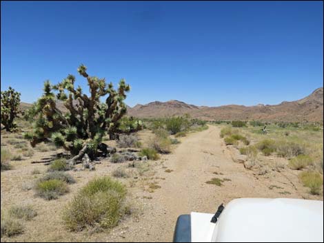
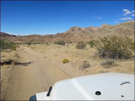
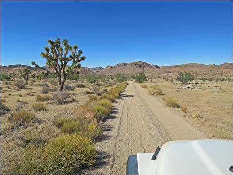
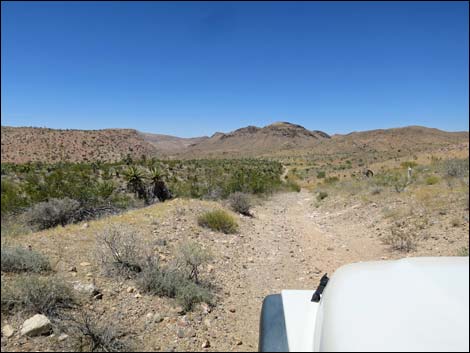
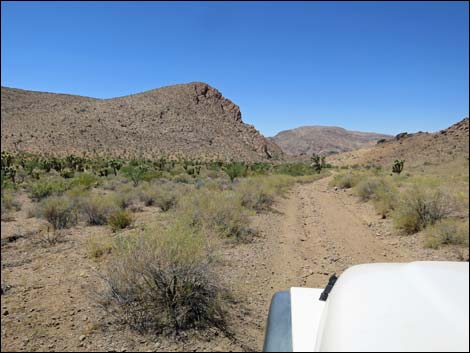
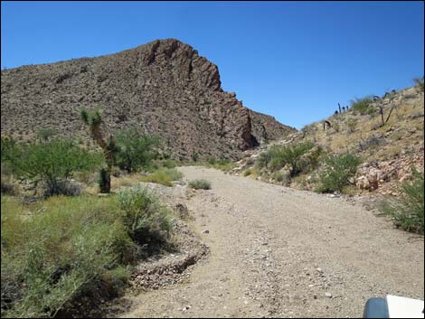
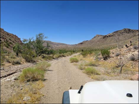
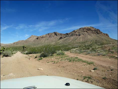
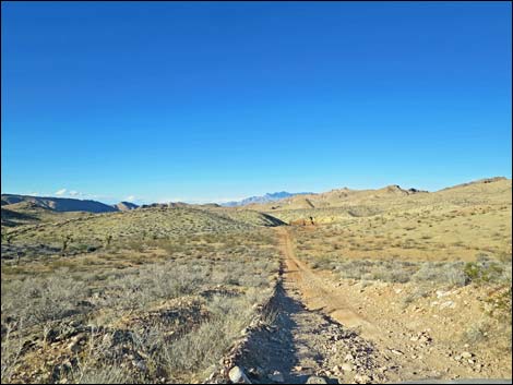
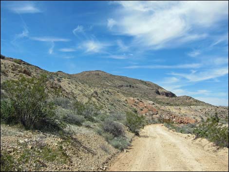
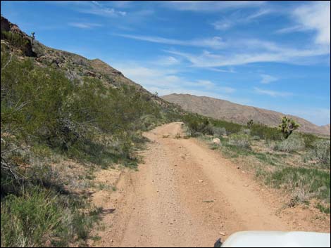
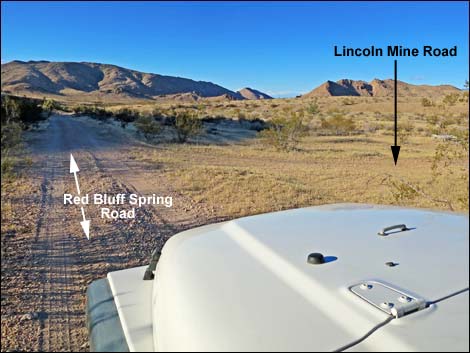
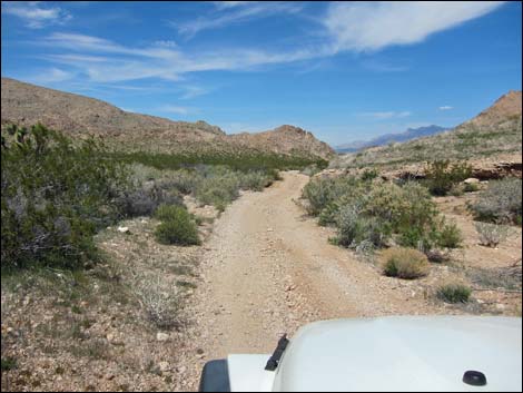
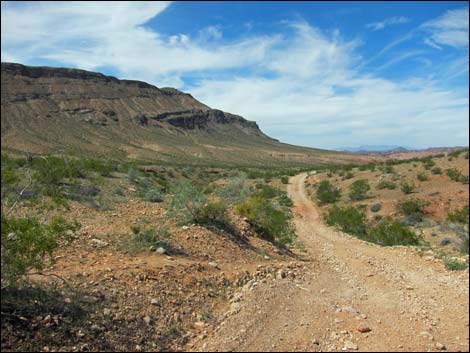
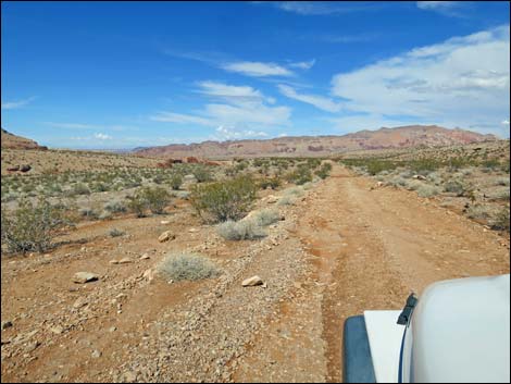
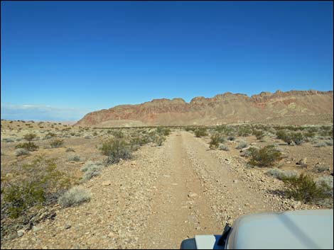
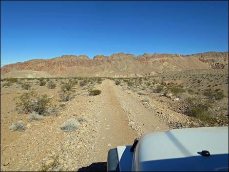
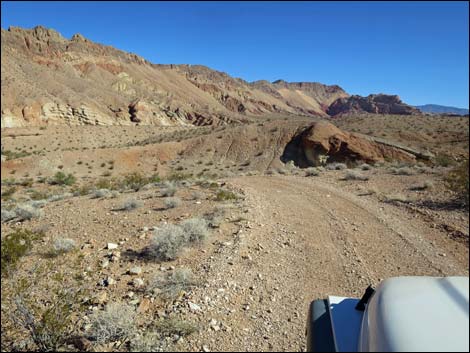
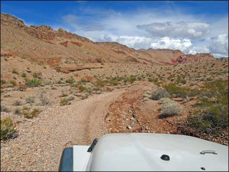
Beyond Lime Canyon Road, Red Bluff Spring Road continues northward climbing towards a pass in the distance. At about 3.8 miles out, the road passes another quail guzzler (Site 1689) on the left, then continues over the pass at about 4.3 miles out. From here on, it is essentially all downhill. The road runs down into what becomes Gold Butte Wash and continues north between Lime Ridge and Tramp Ridge. At about 5.9 miles out, Lincoln Mine Road (Site 1623) returns to the main road, on the right. A bit farther ahead, there is a wire fence along the right side of the road, and where the fence ends (6.1 miles out), the road passes a sign with information about the Tramp-And-Fork Fire that burned 71,131 acres in 2005. The fence is intended to keep vehicles on the roadway so that the vegetation can better recover from the fire. In the years ahead, I expect this and similar fences to come down. At about 6.8 miles out, the crosses a cattle guard (Site 1688) with old barbed wire fencing. This is historic junk left over from the days of legal ranching in this area, back before the land really dried out. |
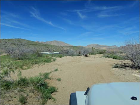
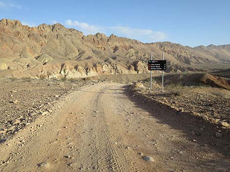
 RBS Rd at Gold Butte Backcountry Byway sign (view NW) |
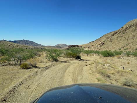
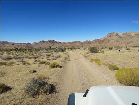
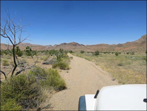
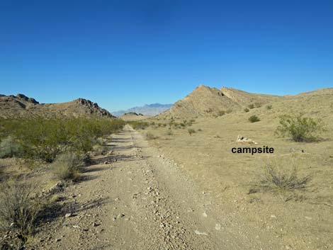
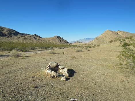
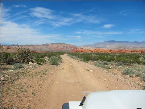
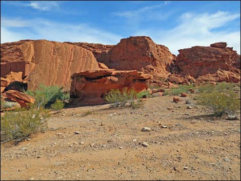
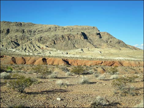
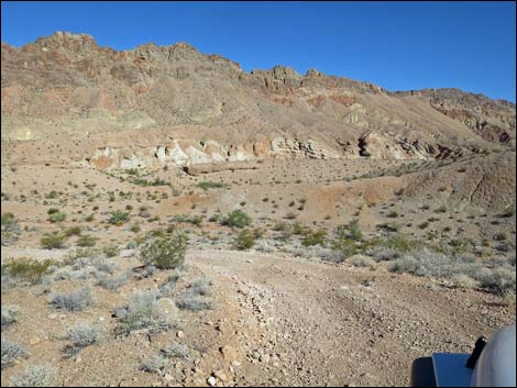
Past the cattle guard, the road runs up over a low saddle on the left, then at about 7.4 miles out, passes a large campsite area (Site 1687) on the right with a nice view down the canyon to the north. Passing the campsite, the road drops through another steep section where, as before, it is easier to drive north in 2WD than to drive south. Below the steep hill, the road passes another sign about the 2005 Tramp-And-Fork Fire (about 8.3 miles out). Still between Lime and Tramp ridges, the valley opens into what seems like a broad plain. The road seems to run on forever, but eventually pass striking red-sandstone outcrops on the right (about 11.6 miles out). This is an interesting place with some shade for a picnic and a bit or rock art to explore. |
 Gold Butte Backcountry Byway sign (view NW) |
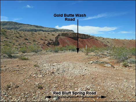
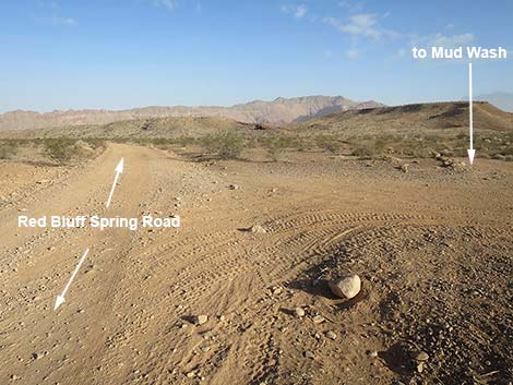
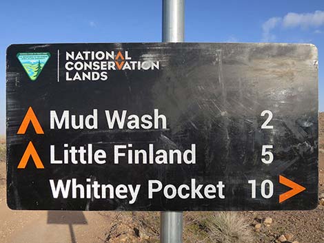
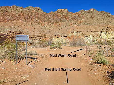
Beyond the red-sandstone outcrops, the road stays on high ground above Gold Butte Wash. At about 12.6 miles out, Gold Butte Wash Road (Site 1624) branches to the left. This road runs back down into Gold Butte Wash and eventually to Mud Wash. For drivers wanting to do the Whitney Pocket to Red Bluff Spring Loop, this is the turn. Continuing, the main road runs below more red sandstone crags high on the right, then reaches Mud Wash Shortcut Road (Site 1625), on the right. For drivers doing the Whitney Pocket to Red Bluff Spring Loop or the Gold Butte Backcountry Byway, this is a shortcut back to Whitney Pocket. Continuing north on the main road, another fork of the Mud Wash Shortcut Road (Site 1626) is passed on the right. This actually is a large triangular intersection. |
 Approaching backside of directional sign (view NW) |
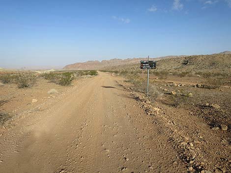
Beyond Mud Wash Shortcut Road, Red Bluff Spring Road stays on high ground and eventually runs out onto a peninsula of land to a fork (Site 1627; 14.3 miles out). Here, Red Bluff Spring Road stays right and drops off the side of the hill, but it is worth staying left and driving 100 yards to an overlook with nice views down into Mud Wash and Red Bluff Spring. This overlook would make a great campsite, but backtrack to the main the road and drop steeply off the east (left when backtracking) side of the peninsula and down into the sandy Mud Wash below (Site 1685). Red Bluff Spring Road ends 14.6 miles out at Mud Wash. Red Bluff Spring, proper, is a short walk downstream, but to continue the Backcountry Byway, turn right and drive up Mud Wash Road. It is still some 8 miles to get back to Gold Butte Road. |
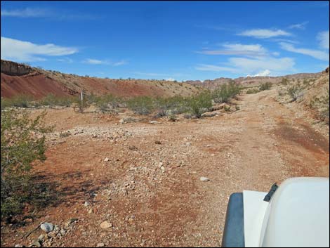
 Starting down Red Bluff Spring Road (view NW) |
 One of many historic can dumps along the road (don't clean up! |
 |
 |
 |
 |
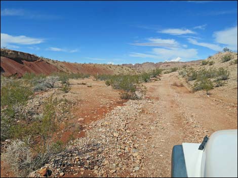
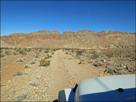
 Red Bluff Spring Road (view NW) |
 Red Bluff Spring Road approaching old corral (view NW; summer) |
 Red Bluff Spring Road at old corral (view NW; spring) |
 Passing the old corral (view NW) |
 Red Bluff Spring Road (view NW; spring) |
 Red Bluff Spring Road (view NW; summer) |
 |
 |
 Red Bluff Spring Road at loop road to guzzler (view NW; spring) |
 Red Bluff Spring Road at loop road to guzzler (view NW; summer) |
 |
 |
 Red Bluff Spring Road at loop road to guzzler (view NW; summer) |
 Side road to guzzler (view NW from Red Bluff Spring Road) |
 Red Bluff Spring Road passing road to guzzler (view NW; summer) |
 Red Bluff Spring Road (view NW; spring) |
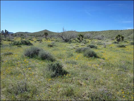 Red Bluff Spring Road, spring wildflowers (view W; spring) |
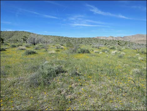 Red Bluff Spring Road, spring wildflowers (view W) |
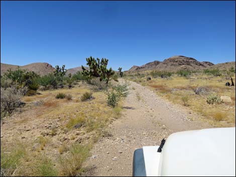
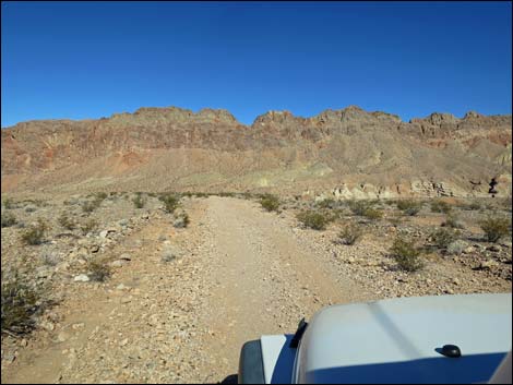
 Red Bluff Spring Road (view NW) |
 Red Bluff Spring Road (view NW; summer) |
 Red Bluff Spring Road (view NW; spring) |
 Red Bluff Spring Road at loop road to nowhere (view NW; spring) |
 Red Bluff Spring Road at loop road to nowhere (view NW; spring) |
 Red Bluff Spring Road at loop road to nowhere (view NW; summer) |
 Red Bluff Spring Road (view NW; summer) |
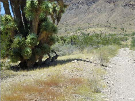 Black-tailed jackrabbits in the shade (view NW; summer) |
 Red Bluff Spring Road (view NW) |
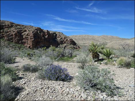 Red Bluff Spring Road, spring wildflowers (view W) |
 Red Bluff Spring Road (view NW) |
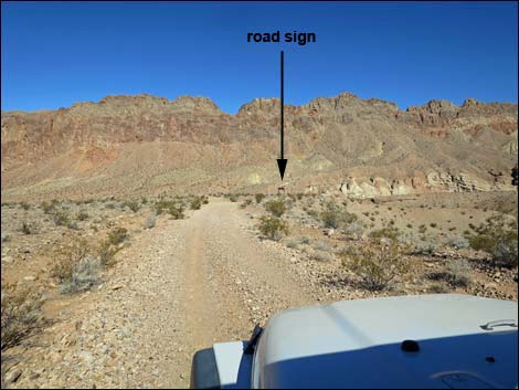
 Red Bluff Spring Road (view NW; note designated road sign) |
 Grand scenery and the White Dove of Peace (view E from road) |
 Red Bluff Spring Road (view NW) |
 Red Bluff Spring Road drops into wash (view NW) |
 Red Bluff Spring Road follows the wash (view NW) |
 Red Bluff Spring Road (view NW) |
 Red Bluff Spring Road at south end of Lincoln Mine Road (view NW) |
 Red Bluff Spring Road at Lincoln Mine Road (view NW; spring) |
 Red Bluff Spring Road at Lincoln Mine Road (view NW; summer) |
 Red Bluff Spring Road at Lincoln Mine Road (view NW) |
 Red Bluff Spring Road (view N) |
 Red Bluff Spring Road (view N) |
 RBS Road approaching Lime Canyon Road, on the left (view N) |
 RBS Road at Lime Canyon Road (view N) |
 Lime Canyon Road (view W from Red Bluff Spring Road) |
 Red Bluff Spring Road runs across gentle hills (view N) |
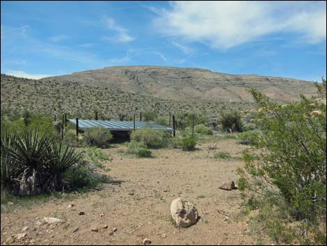 Quail guzzler (view NW from Red Bluff Spring Road) |
 Red Bluff Spring Road runs across rocky spots (view N) |
 Lime Peak (view N from Red Bluff Spring Road) |
 |
 |
 |
 |
 |
 |
 |
 |
 |
 |
 RB Spring Rd at north end of Lincoln Mine Road (view NW; summer) |
 RB Spring Rd at north end of Lincoln Mine Road (view NW; summer) |
 RB Spring Rd at north end of Lincoln Mine Road (view NW; spring) |
 Wire fence along burned area (view NW) |
 |
 |
 Campsite along the road (view N) |
 Campsite with a view (view N) |
 Red Bluff Spring Road at cattle guard (view NW) |
 Red Bluff Spring Road (view NW) |
 Red Bluff Spring Road (view NW) |
 Red Bluff Spring Road at campsite (view N) |
 |
 |
 |
 |
 Looking back at signs about old burn (view S) |
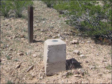 One of several land survey markers along the road (view W) |
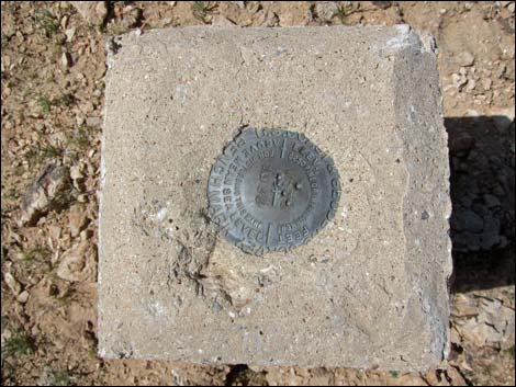 USGS benchmark |
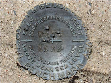 USGS benchmark; W194, placed 1935 |
 |
 |
 |
 |
 |
 |
 |
 |
 |
 |
 Approaching Red Sandstone picnic site (view NW) |
 Red Bluff Spring Road at Red Sandstone picnic site (view E) |
 |
 |
 Red Bluff Spring Road dropping into Gold Butte Wash (view NW) |
 Red Bluff Spring Road at Gold Butte Wash Road (view NW) |
 Red Bluff Spring Road at Gold Butte Wash Road (view NW) |
 Gold Butte Wash Road (view W from Red Bluff Spring Road) |
 Red Bluff Spring Road at Mud Wash Shortcut Road South (view NW) |
 Red Bluff Spring Road at Mud Wash Shortcut Road South (view N) |
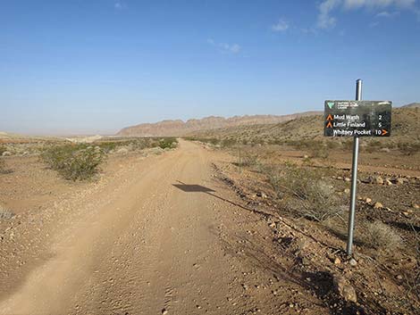
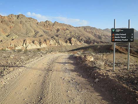
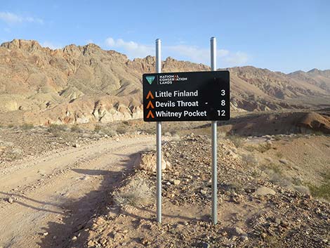
 Red Bluff Spring Road approaching directional sign (view NW) |
 Red Bluff Spring Road at directional sign (view NW) |
 Red Bluff Spring Road at directional sign (view NW) |
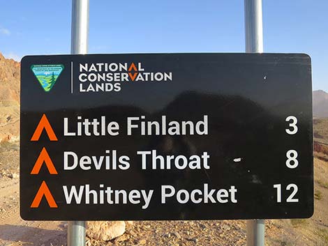
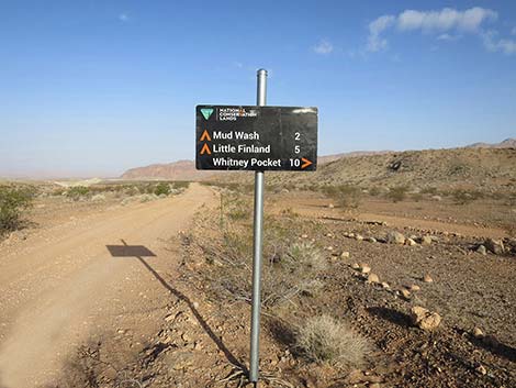 Directional sign (view NW) |
 Directional sign (view NW) |
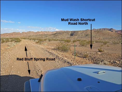 Red Bluff Spring Road at Mud Wash Shortcut Road North (view NW) |
 Red Bluff Spring Road (view NW) |
 Lime Ridge, north end (view W from Red Bluff Spring Road) |
 Red Bluff Spring Road (view NW) |
 Red Bluff Spring Road (view NW) |
 |
 |
 Red Bluff Spring Road (view NW) |
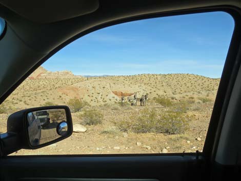 Feral Burros are getting more and more numerous (view E) |
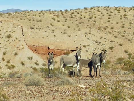 Feral Burros (view E) |
 Red Bluff Spring Road (view NW) |
 Red Bluff Spring Road approaching Bitter Ridge (view NW) |
 Approaching Red Bluff Spring Overlook Road (view NW) |
 RBS Road approaching Red Bluff Spring Overlook Road (view NW) |
 RBS Road at Red Bluff Spring Overlook Road (view NW) |
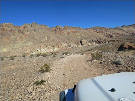
 Staying right on Red Bluff Spring Road at old directional sign (view N) |
 RBS Road approaching a directional sign (view NE) |
 RBS Road at a directional sign (view NE) |
 Directional sign (view N) |
 Directional sign (view N) |
 Red Bluff Spring Road starting descent into Mud Wash (view NE) |
 Vehicle on Red Bluff Spring Overlook Road (view NW) |
 Red Bluff Spring Road descending steeply into Mud Wash (view NE) |
 Red Bluff Spring Road descending towards Mud Wash (view N) |
 Red Bluff Spring Road descending towards Mud Wash (view N) |
 Red Bluff Spring Road descending towards Mud Wash (view N) |
 Red Bluff Spring Road crossing a wash (view N) |
 Red Bluff Spring Road crossing wash after flash floods (view N) |
 Red Bluff Spring Road flash floods (12-inch deep ditch; view NE) |
 |
 |
 Crossing wash again before flash floods (view NW) |
 Crossing wash again after flash floods (view NW) |
 Red Bluff Spring Road approaching Mud Wash Road (view N) |
 Red Bluff Spring Road at Mud Wash Road-Eastbound (view N) |
Table 1. Highway Coordinates Based on GPS Data (NAD27; UTM Zone 11S). Download Highway GPS Waypoints (*.gpx) file.
| Wpt. | Location | Latitude (N) | Longitude (W) | Elevation (ft) | Point-to-Point Distance (mi) | Cumulative Distance (mi) |
|---|---|---|---|---|---|---|
| 0806 | Gold Butte Rd at Red Bluff Spring Rd | 36.28093 | 114.20028 | 3,727 | 0.00 | 00.00 |
| 1903 | Red Bluff Spring Rd at Gold Butte Airstrip Road | 36.28247 | 114.20659 | 3,532 | 0.37 | 00.37 |
| 1692 | Red Bluff Spring Rd at Lincoln Mine Rd | 36.30338 | 114.22562 | 3,194 | 1.91 | 02.28 |
| 1690 | Red Bluff Spring Rd at Lime Canyon Rd | 36.31193 | 114.23503 | 3,079 | 0.87 | 03.15 |
| 1689 | Red Bluff Spring Rd at Guzzler | 36.32110 | 114.23343 | 3,135 | 0.65 | 03.80 |
| 1623 | Red Bluff Spring Rd at Lincoln Mine Rd North | 36.34999 | 114.23763 | 2,930 | 2.12 | 05.92 |
| Fire Sign South | Red Bluff Spring Rd at Fire Sign South | 36.35335 | 114.23890 | 2,900 | 0.24 | 06.16 |
| 1688 | Red Bluff Spring Rd at Cattle Guard | 36.36245 | 114.23700 | 2,808 | 0.66 | 06.82 |
| 1687 | Red Bluff Spring Rd at Campsite | 36.37100 | 114.23852 | 2,720 | 0.63 | 07.45 |
| Fire Sign North | Red Bluff Spring Rd at Fire Sign North | 36.38212 | 114.23482 | 2,543 | 0.86 | 08.31 |
| 1624 | Red Bluff Spring Rd at Gold Butte Wash Rd | 36.44140 | 114.23124 | 1,884 | 4.32 | 12.63 |
| 1625 | Red Bluff Spring Rd at Byway Shortcut Rd South | 36.44286 | 114.23152 | 1,908 | 0.10 | 12.73 |
| 1626 | Red Bluff Spring Rd at Byway Shortcut Rd North | 36.44415 | 114.23243 | 1,931 | 0.11 | 12.84 |
| 1627 | Red Bluff Spring Rd at Spur | 36.46051 | 114.24995 | 1,697 | 1.51 | 14.35 |
| 1685 | Red Bluff Spring Rd at Mud Wash Rd | 36.46288 | 114.25081 | 1,653 | 0.22 | 14.57 |
Happy Hiking! All distances, elevations, and other facts are approximate.
![]() ; Last updated 240326
; Last updated 240326
| Backroads Around Las Vegas | Hiking Around Las Vegas | Glossary | Copyright, Conditions, Disclaimer | Home |