Backroads Around Las Vegas, Gold Butte
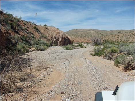
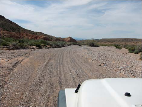
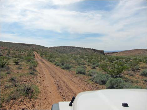
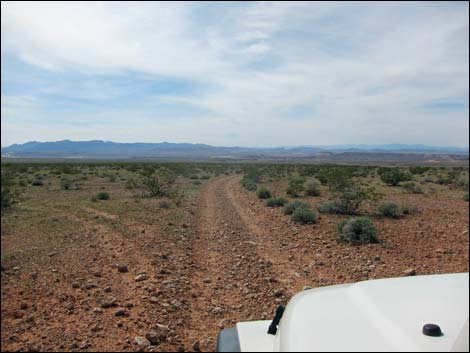
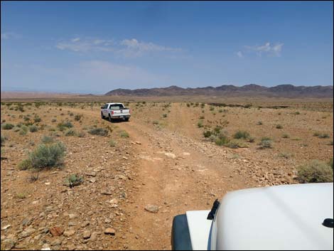
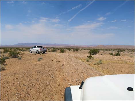
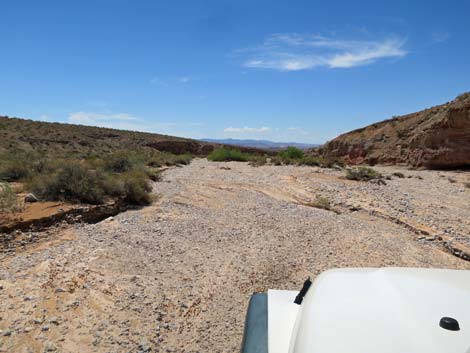
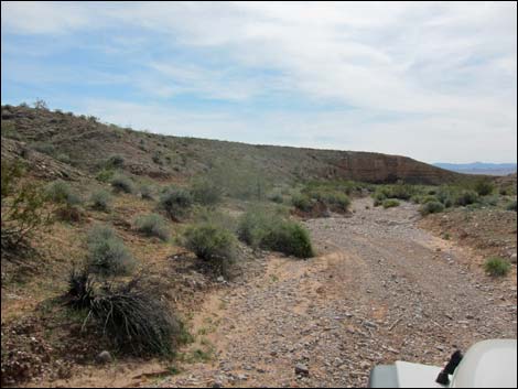
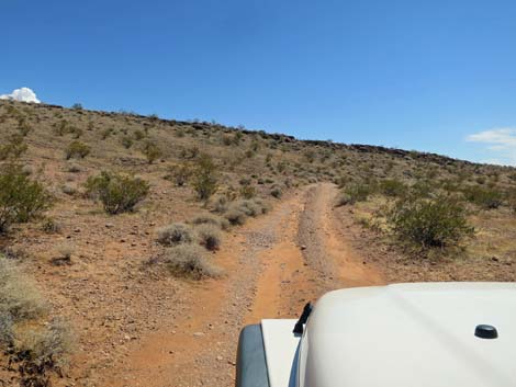
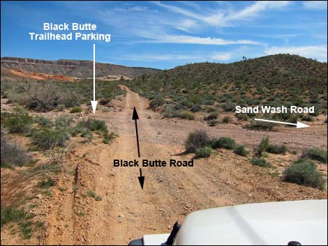 Black Butte Road at Sand Wash Road (view S) |
Overview Sand Wash Road is a 5.9-mile two-track that runs east-west between Black Butte Road on the east and Narrows Road North on the west, which is inside Lake Mead National Recreation Area. Sand Wash Road runs down a nice canyon and out across a big flat bajada providing access to wild and rugged parts of Gold Butte out towards the Overton Arm of Lake Mead. The canyon is subject to flash flooding, so the road, such as there is one, changes with each storm. It can be quite sandy, as one might expect in Sand Wash. This road runs through the Mojave Desert Scrub life zone where shrub species can be dense and diverse. The road starts following the wash where extra water supports a large number of shrubs and many kinds of shrubs. The wash contrasts with the dry bajada where few shrubs and few kinds of shrubs survive. This road provides access to no particular destination, but it is part of the Sand Wash - Mud Wash Loop that starts and ends at Whitney Pocket. The road also connects with roads that lead to Lake Mead. Link to road map. |
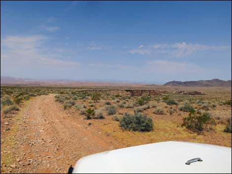
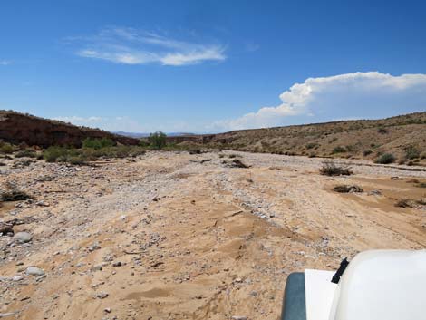
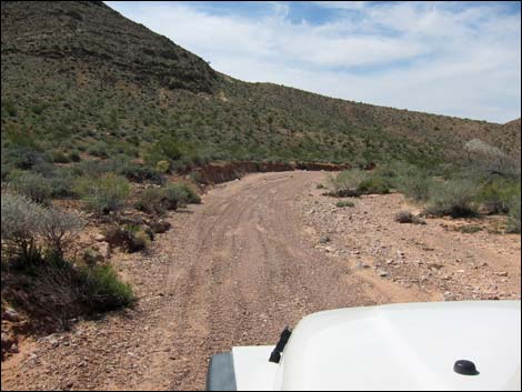 Sand Wash Road (view W from Black Butte Road) Sand Wash Road (view W from Black Butte Road) |
Watch Out Other than the standard warnings about hiking in the desert, ... this road is fairly safe, but it runs into a wild and remote area without services of any kind (no restrooms, no water, no gas, no food). Bring what you need to survive. Be prepared and be self-reliant. Someone will find you eventually if you stay on main roads, but be prepared to survive alone for a day or more on side roads. Some cell phones work towards the west end of the road. I drove my jeep down the road using 2WD, but it was reassuring that I could lock in the hubs and continue in 4WD if necessary. Road conditions change; use your own good judgment. In 2020, 4WD was required to navigate the soft sand. While out, please respect the land and the other people out there, and try to Leave No Trace of your passage. Also, this is a remote area, so be sure to bring the 10 Essentials. |
 |
Getting to the Roadhead Sand Wash Road is located out in Gold Butte northeast of Lake Mead, about 2 hours northeast of Las Vegas. From Las Vegas, drive out to Gold Butte National Monument. From Whitney Pocket, turn around and drive north on the paved Gold Butte Road for 1.5 miles (just past the last big red sandstone crag on the left) to Black Butte Road, an unmarked dirt road on the left. Make a hard left turn onto Black Butte Road and drive southwest, passing Falling Man Trailhead, for 3.5 miles to Sand Wash Road, on the right. The road runs up over a steep ridge and drops into the broad wash -- you can't miss it. |
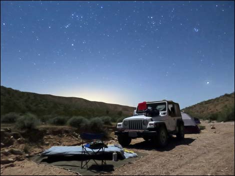 Roadside campsite (view W towards the glow of Las Vegas) |
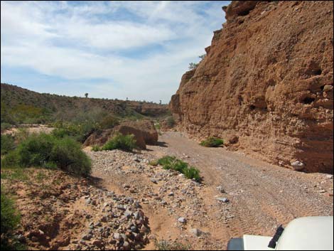
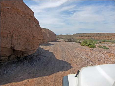
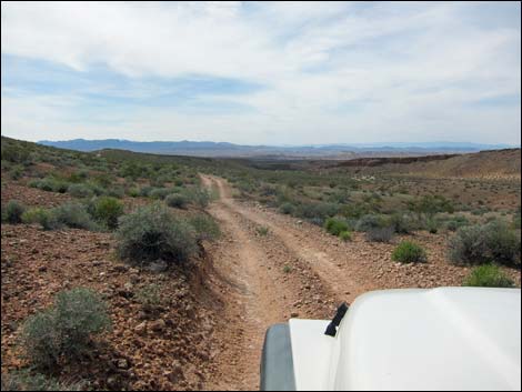
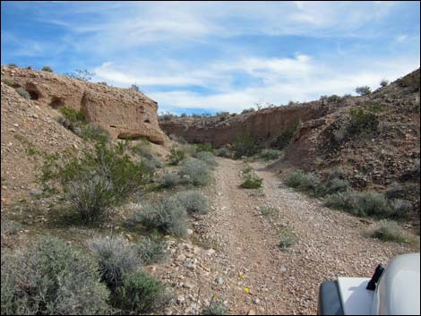
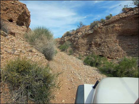
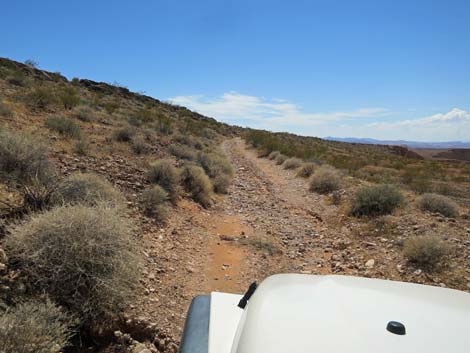
The Road From Black Butte Road (Table 1, Site 1666), Sand Wash Road branches off to the right and heads down the sandy Sand Wash. The road runs down the wash between the base of the towering Bitter Ridge on the left and lesser hills on the right. In this area, the very bottom of the canyon is narrow in places where the flooding cuts ditches into the wash bottom. Eventually the canyon widens, providing longer views out over the area. This upper portion of the wash is the sandiest part of the road. After about 2.2 miles in the loose sand and gravel, the road turns left (Site 1628) out of Sand Wash onto firm ground and begins to climb towards higher ground above the wash. The road eventually climbs along an odd ridge (3.1 miles out), dips through one steep-sided little wash (my big truck scraped front bumper and trailer hitch) and then begins a long, gradual descent towards the Overton Arm of Lake Mead. |
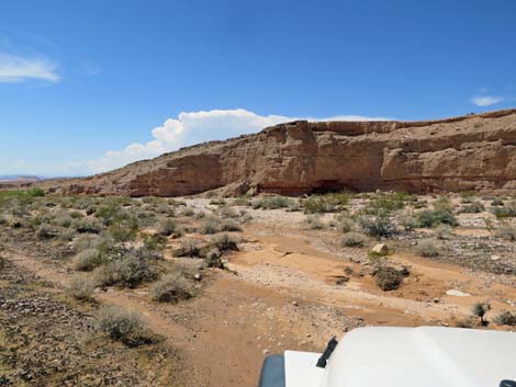
 Cliffs on the left (view W) |
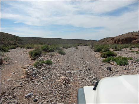
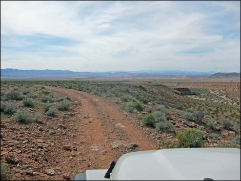
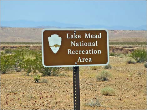
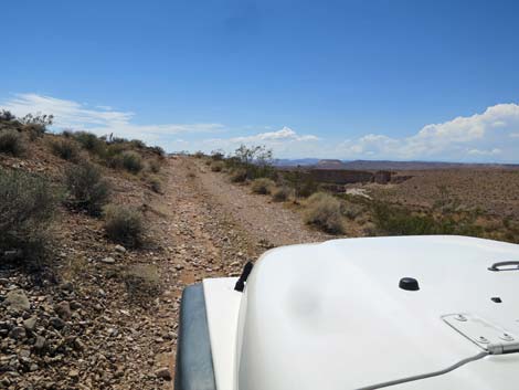
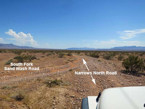
The two-track runs west descending the gently sloping bajada where little more than scattered creosote bushes and a few cactus cover the landscape. Eventually the wash comes back into view, now below cliffs on the right. The road follows the edge of the cliffs for a bit and arrives at a fork (Site 1629; 4.3 miles out) in the road. Drivers can take either fork, as the two eventually merge where Sand Wash Road ends at Narrows Road North, but the left fork is easier. The South Fork of Sand Wash Road stays left on the bajada and runs west about 1.1 miles to merge with Narrows Road North (Site 1632) just inside the boundary of Lake Mead National Recreation Area. Parts of this section have become quite rocky, and drivers just created a new parallel road that runs much smoother. |
 Cliffs on the right (view W) |
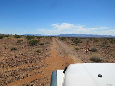
The North Fork of Sand Wash Road stays right and runs northwest along the top of the cliffs overlooking Sand Wash, then eventually runs over the edge and back into the wash (Site 1630; 4.9 miles out). Continuing down the wash, the road eventually turns left out of the wash (Site 1631; 5.5 miles out) to climb southward up a narrow side canyon. This area can wash out badly. Back above the cliffs, the road quickly merges with the South Fork Road and ends as they both merge into Narrows Road North (Site 1632; 5.9 miles out). From the intersection of Sand Wash Road and Narrows Road North (Site 1632), drivers can continue south on Narrows Road North to complete the Sand Wash - Mud Wash Loop. Narrows Road North runs southeast, exits Lake Mead National Recreation Area, and eventually drops into Mud Wash. There is a very tight corner turning into Mud Wash, a turn that is a problem for long-wheel-base vehicles (e.g., crew cab trucks). From there, drivers can continue the loop and return to Whitney Pocket. Maps conflict, but it might be legal to continue west in Sand Wash to connect with Fisherman's Cove Road. |
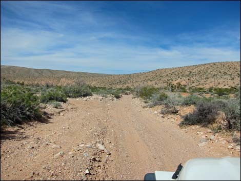
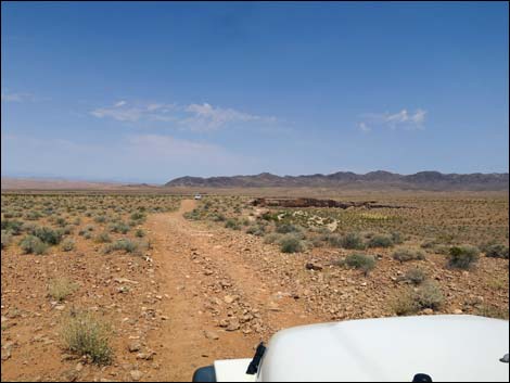
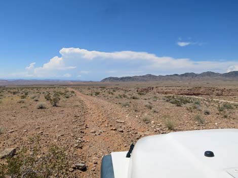
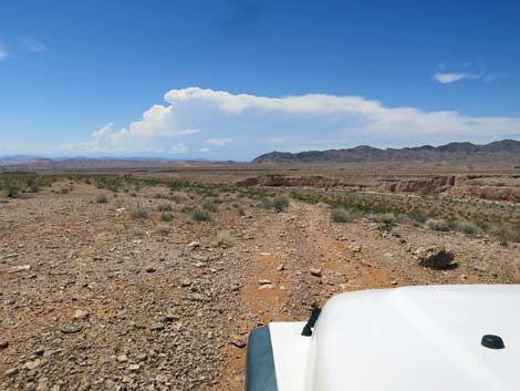
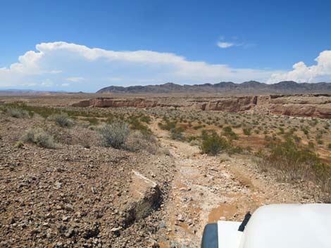
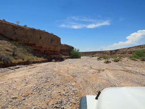
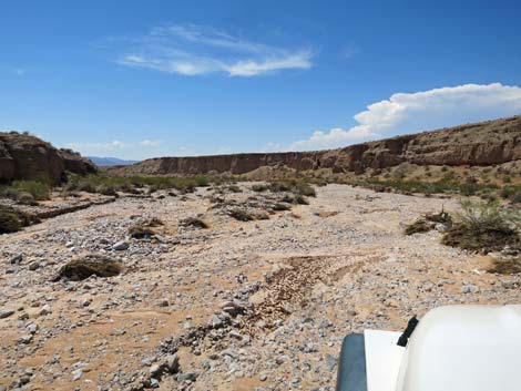
 Broad, open canyon (view W) |
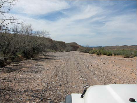 Broad, open canyon (view W) |
 |
 |
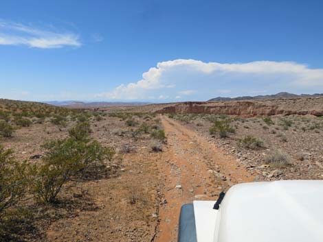
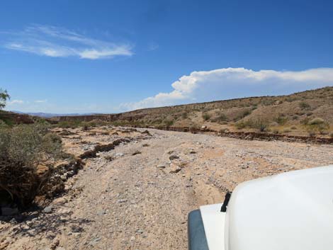
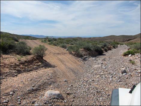 Road exits Sand Wash (view W) |
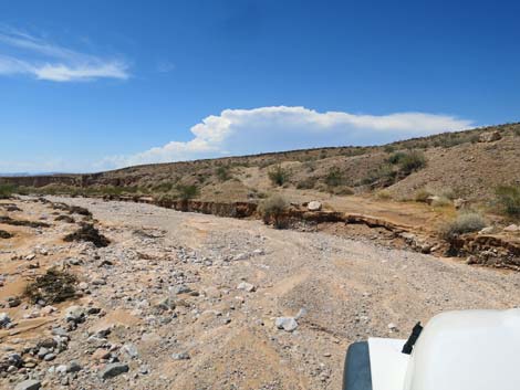
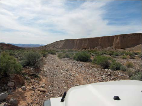
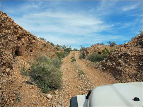
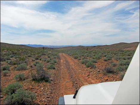 Two-track road runs up shallow valley (view W) |
 |
 |
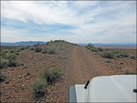 Road climbs over odd ridge (view W) |
 Sand Wash below on the right (view W) |
 |
 |
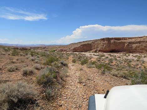
 Road follows along cliffs above Sand Wash (view NW) |
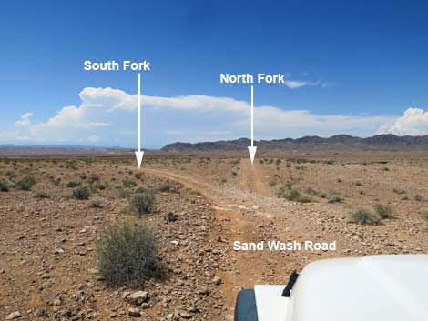 Sand Wash Road forks (view NW) |
 Staying left onto the south fork of Sand Wash Road (view NW) |
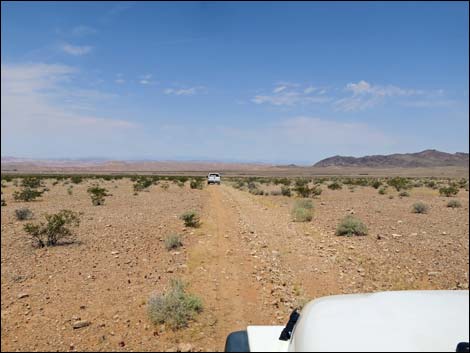 Sand Wash Road (view W) |
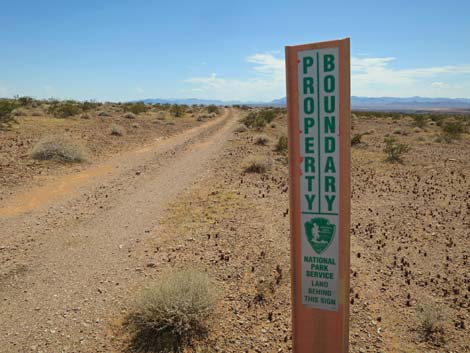
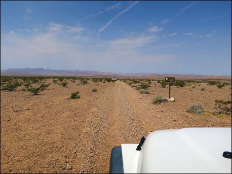 Approaching Lake Mead NRA boundary sign (view W) |
 Approaching Lake Mead NRA boundary sign (view W) |
 Sand Wash Road at Narrows Road North (view W) |
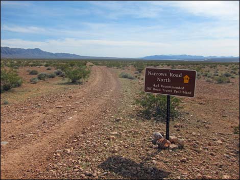 Sign at start of Narrows Road North |
|
 |
 |
 |
 |
 |
 |
 |
 |
 |
 When washed out, Narrows Road North can be impassable (view SW) |
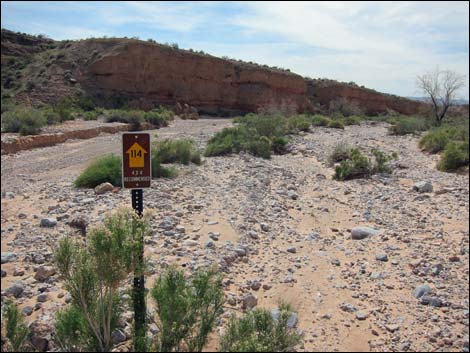 Lake Mead NRA Road #114 sign (view W) |
 |
 |
 North Fork continues down Sand Wash (view W) |
 North Fork exits Sand Wash (view W) |
 Road climbs steep, narrow side canyon (view S) |
 Road climbs steep, narrow side canyon (view S) |
 Road climbs steep, narrow side canyon (view S) |
 Onto gentler terrain (view S) |
 |
 |
 |
 |
 |
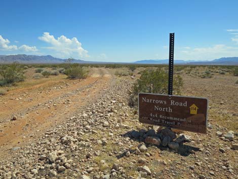 |
Table 1. Highway Coordinates Based on GPS Data (NAD27; UTM Zone 11S). Download Highway GPS Waypoints (*.gpx) file.
| Wpt. | Location | Latitude (N) | Longitude (W) | Elevation (ft) | Point-to-Point Distance (mi) | Cumulative Distance (mi) | Verified |
|---|---|---|---|---|---|---|---|
| 1666 | Black Butte Rd at Sand Wash Road | 36.49791 | 114.20377 | 2,219 | 0.0 | 0.0 | Yes |
| 1628 | Sand Wash Road exits wash | 36.50518 | 114.23629 | 1,959 | 2.2 | 2.2 | Yes |
| 1629 | Sand Wash Road forks | 36.49921 | 114.27245 | 1,727 | 2.2 | 4.4 | Yes |
| 1630 | Sand Wash Road enters wash | 36.50359 | 114.28114 | 1,591 | 0.6 | 4.9 | Yes |
| 1631 | Sand Wash Road exits wash | 36.50174 | 114.29069 | 1,511 | 0.6 | 5.5 | Yes |
| 1632 | Sand Wash Road at Narrows North Road | 36.49904 | 114.29198 | 1,571 | 0.3 | 5.9 | Yes |
Happy Hiking! All distances, elevations, and other facts are approximate.
![]() ; Last updated 240326
; Last updated 240326
| Backroads Around Las Vegas | Hiking Around Las Vegas | Glossary | Copyright, Conditions, Disclaimer | Home |