Hiking Around Las Vegas, Gold Butte National Monument
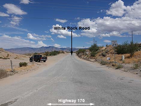
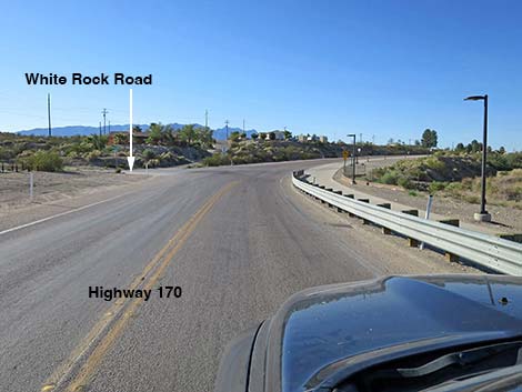 Highway 170 approaching White Rock Road (view S) |
Overview White Rock Road is a paved, 0.9-mile road off Highway 170 (Riverside Road) on the southeast side of Mesquite that connects with Lime Kiln Road, Cabin Canyon Road, Scenic Road (the road to Scenic, Arizona), and a maze of minor dirt roads. White Rock Road is not particularly interesting in itself, but it provides access to campsites, hikes, hunting, horseback riding, miles of dirt roads, Grand Canyon -- Parashant National Monument, the northeast corner of Gold Butte National Monument, and grand views across the desert. Link to map. |
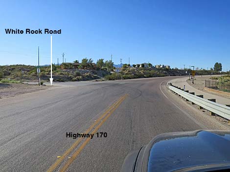 Highway 170 at White Rock Road (view S) |
Watch Out Other than the standard warnings about driving in the desert, ... this road is paved and fairly safe, but watch for slow-moving trucks coming and going from the gravel pit. Although on the edge of town, this road leads into areas that are wild and remote and without services of any kind (no restrooms, no water, no gas, no food). Bring what you need to survive. Be prepared and be self-reliant. Someone will find you eventually if you stay on a main road, but be prepared to survive alone for a day or two in the hinterlands. Cell phones work along this road. While visiting the area, please respect the land and the other people out there, and try to Leave No Trace of your passage. Also, this road leads to remote areas, so be sure to bring the 10 Essentials. |
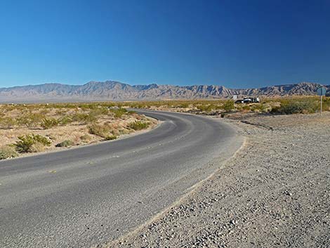
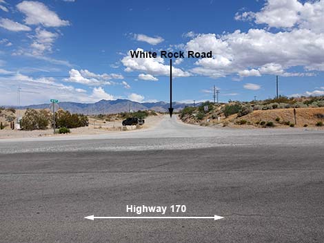 White Rock Road (view E from Highway 170) |
Getting to Cabin Canyon Road White Rock Road is located about 1-1/4 hours east of Las Vegas, on the far edge of Mesquite. From Las Vegas, drive out Interstate-15 to Mesquite. Take Exit 120 onto Falcon Ridge Pkwy/W Mesquite Blvd (Table 1, Site 1860), drive straight through the round-about, and continue 0.8 miles to a traffic light at Riverside Road (Site 1639). Turn right onto Riverside and drive south 1.1 miles, just across the Virgin River, to White Rock Road (Site 1771), on the left. When turning left onto White Rock Road, watch carefully for oncoming vehicles approaching from over the hill on a curve. |
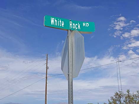 White Rock Road street-sign (view NE) |
The Road From Riverside Road (Site 1771), the paved White Rock Road runs east 250 yards, then bends right to run southeast out of town and into the desert. At the intersection, a dirt parking area on the left is a good place to meet friends, unload ATVs, and leave trucks and trailers for the day. About 0.6 miles out, watch for trucks entering and leaving the highway on the left where a side road runs east to a big gravel pit operation. Continuing, the road crosses a cattle guard that seems more symbolic than necessary. Shortly ahead, at about 0.9 miles out, White Rock Road ends (Site 1861) where the pavement curves left and becomes Scenic Road. At the curve, Lime Kiln Road, a graded dirt road, continues straight south. |
 White Rock Road (view E from Highway 170) |
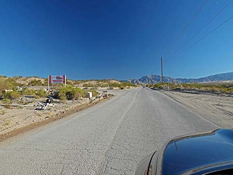
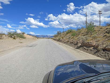 Starting out on White Rock Road (view E) |
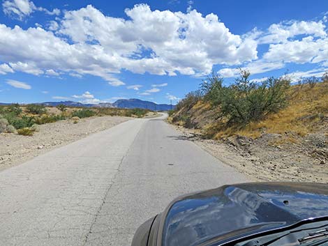 White Rock Road (view SE) |
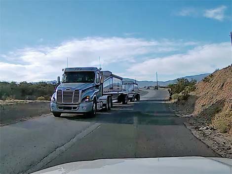 Watch for big haul trucks on White Rock Road (view SE) |
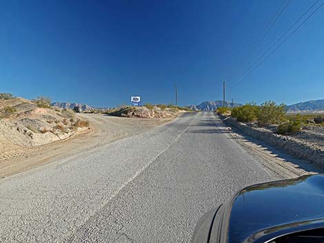
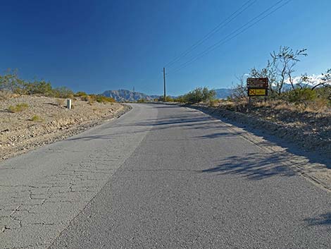 White Rock Road approaching directional sign (view SE) |
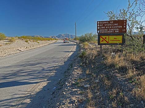 White Rock Road at directional sign (view SE) |
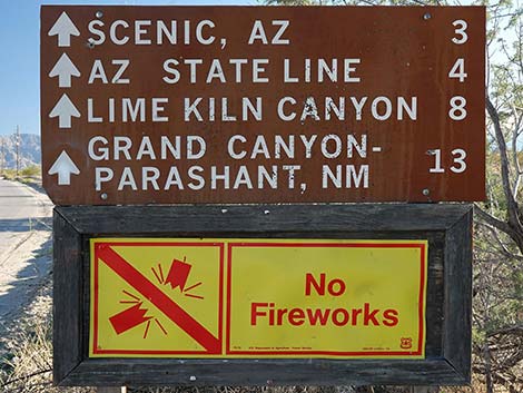 Directional sign (view SE) |
 |
 White Rock Road approaching side road to a gravel pit (view SE) |
 White Rock Road at another side road to a gravel pit (view SE) |
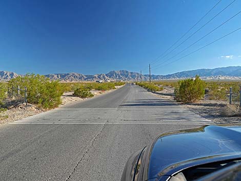 White Rock Road at fake cattle guard (view SE) |
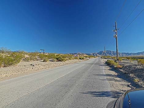
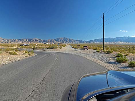 White Rock Road approaching curve to Scenic (view SE) |
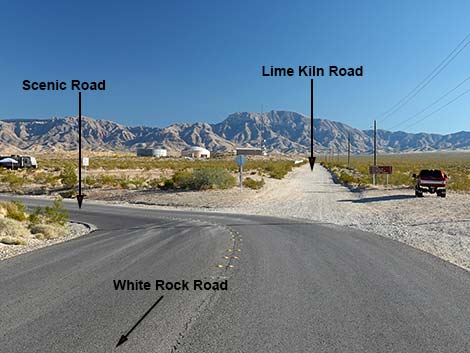 White Rock Rd ends at Scenic Road -- Lime Kiln Road continues |
 Scenic Road continues into Arizona (view SE) |
Table 1. Highway Coordinates Based on GPS Data (NAD27; UTM Zone 11S). Download Highway GPS Waypoints (*.gpx) file.
| Site | Location | UTM Easting | UTM Northing | Latitude (N) | Longitude (W) | Elevation (ft) |
|---|---|---|---|---|---|---|
| 1639 | Hwy 170 at Mesquite Blvd | 759369 | 4076845 | 36.80376 | 114.09284 | 1,563 |
| 1771 | Hwy 170 at Lime Kiln Canyon Road | 759391 | 4075095 | 36.78800 | 114.09319 | 1,631 |
| 1860 | I-15 at Mesquite Blvd | 758139 | 4076736 | 36.80312 | 114.10664 | 1,617 |
| 1861 | White Rock Road at Lime Kiln & Scenic Roads | 760332 | 4074038 | 36.77823 | 114.08302 | 1,706 |
Happy Hiking! All distances, elevations, and other facts are approximate.
![]() ; Last updated 240326
; Last updated 240326
| Hiking Around Gold Butte | Hiking Around Las Vegas | Glossary | Copyright, Conditions, Disclaimer | Home |