Hiking Around Las Vegas, Lake Mead National Recreation Area
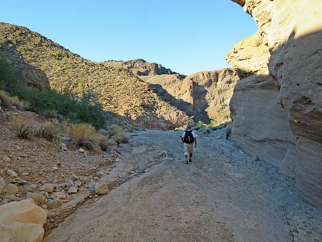
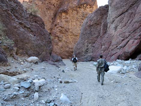
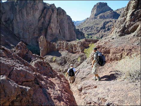
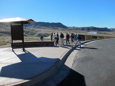 Hikers departing the trailhead (view SW) |
Due to extreme temperatures, this area is closed during summer (usually May 15 to September 30). Link to details (PDF). Overview This is a great, 3.25-mile (one-way) hike to hot springs near the Colorado River. The route runs 2.75 miles down a deep, narrow, geologically interesting canyon to the Colorado River, turns to run downstream for 0.5 miles to Hot Spring Canyon, which is the next major canyon, and ascends that canyon for about 5 minutes to a 20-ft waterfall and a ladder. Climbing the ladder brings hikers to the hot springs. Visitors use sandbags to dam the stream, creating hot-pools in the deep, narrow canyon. This is a place to sit, relax, and meet interesting people. This hot spring sometimes is called Ringbolt Hot Springs, a reference to Ringbolt Rapids that lie just upstream from Hot Spring Canyon. This hike makes for a nice overnight outing, as there are nice places to camp at the river and in the canyon just above the hot springs. Link to map or elevation profile. |
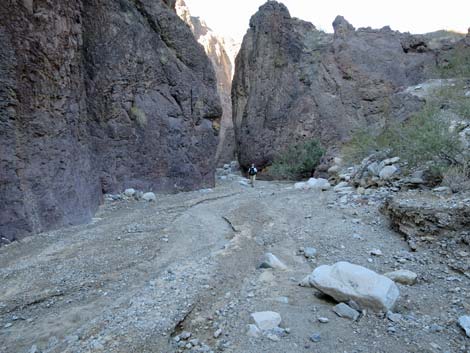
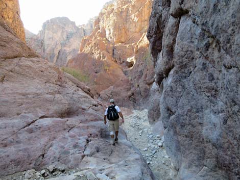
 Departing the trailhead (view SW) |
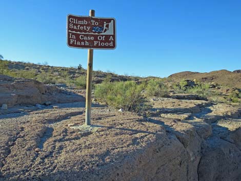
Return to the trailhead by retracing your footprints in the dust or by continuing up Hot Spring Canyon on a mostly easy route with three scramble-ups, one of which requires 40 feet of 4th-class climbing to bypass a pour-over. The pour-overs can by entirely bypassed on the steeper Mountains Route, which branches out of Hot Spring Canyon before the pour-overs. Watch Out Because of extreme summer temperatures, many hikers have required rescue here in recent years. The extreme temperatures put the lives of rescue personnel at risk. Therefore, the National Park Service closes this area during about June through September. Link to details (PDF). |
 |
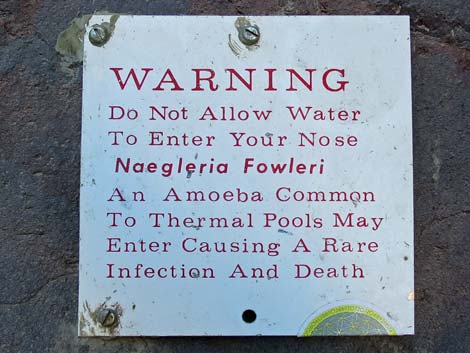
Otherwise, other than the standard warnings about hiking in the desert, ...this is a fairly safe hike. There are places to trip and hurt yourself in White Rock Canyon, and the trail and scrambles along the river are sometimes narrow, but there is nothing out of the ordinary. Be extra careful on the metal ladder, and be careful walking on slick rocks after you've picked up wet sand on the bottom of your shoes. Be sure to keep your nose dry in the hot pools, and don't drink the water because high levels of bacteria have been recorded, bacteria that comes from human feces. Air temperatures can be high at these low elevations, so carry enough water to make it back to the trailhead. While hiking, please respect the land and the other people out there, and try to Leave No Trace of your passage. Also, even though this hike is short, rescues from narrow canyons can be difficult, so be sure to just bring what you need of the 10 Essentials. |
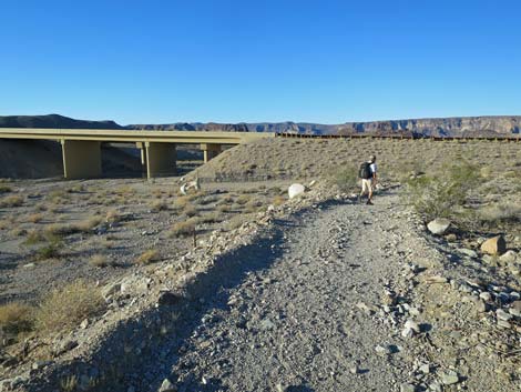
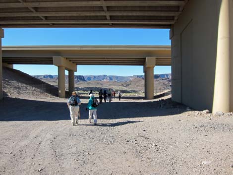 Passing under Highway 93 (view SE) |
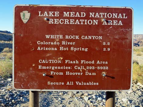
Getting to the Trailhead This hike is located along Highway 93 in Arizona, south of the Hoover Dam in Lake Mead National Recreation Area, about 45 minutes southeast of Las Vegas. From town, drive out to Lake Mead NRA, then over the bridge on Highway 93 into Arizona and down to the White Rock Canyon Trailhead. Park here; this is the trailhead. |
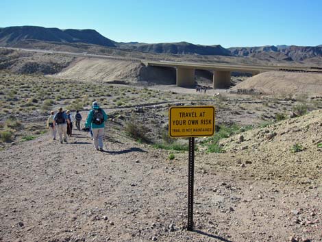
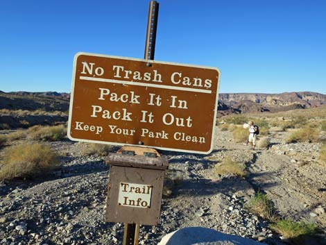
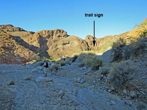
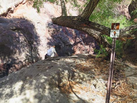
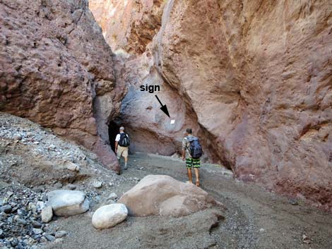
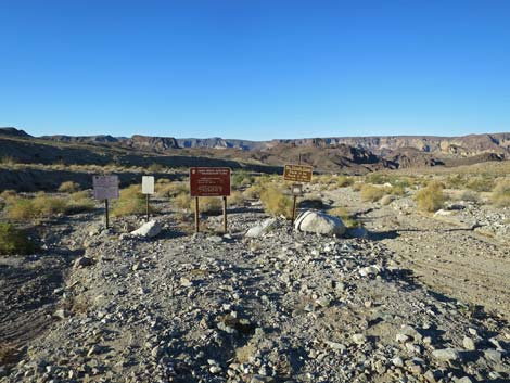 Approaching trail signs (view SW) |
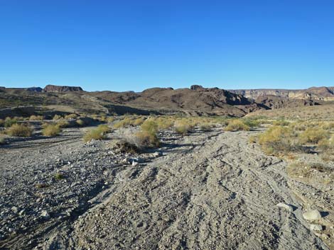
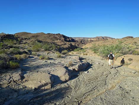
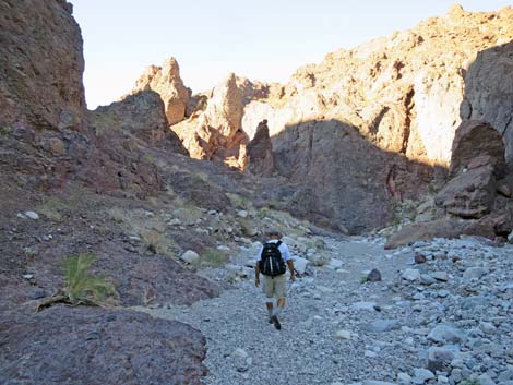
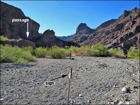
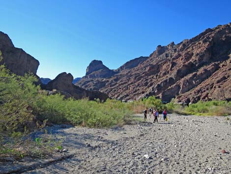
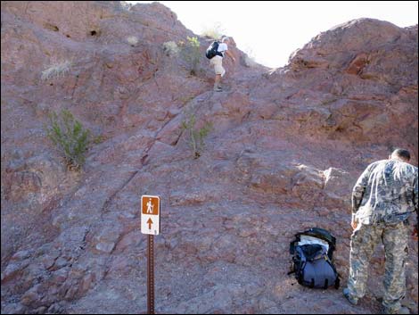
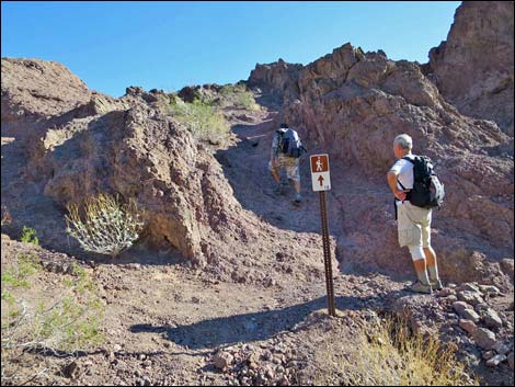
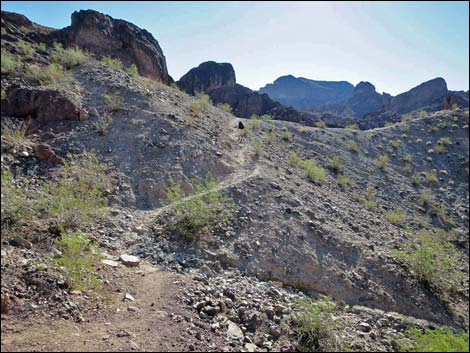
The Hike From the trailhead at the far end of the parking area by the information kiosk (Table 1, Wpt. 01), a trail runs down the hillside into White Rock Wash and down under the twin Highway 93 bridges. Just past the southbound bridge, trailhead signs (Wpt. 02) introduce the route. The route then follows the wash all the way down to the Colorado River. In this area, the sparsely vegetated country provides grand views down White Rock Wash towards the start of the narrows and out over the mountains into Nevada and the Black Canyon Wilderness Area. Coming out, this area is steep than it looks and can be quite hot under the afternoon sun, so carry plenty of water for the return trip. |
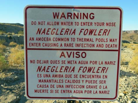 While true, Naegleria fowleri is an extremely low risk issue |
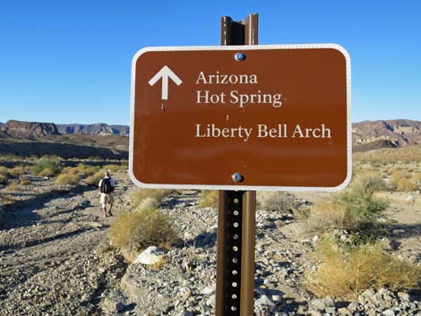
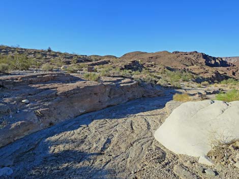
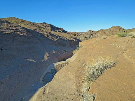
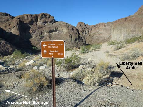
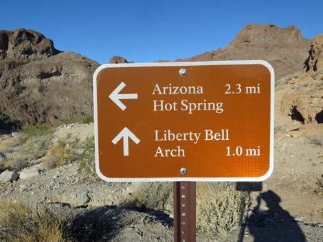
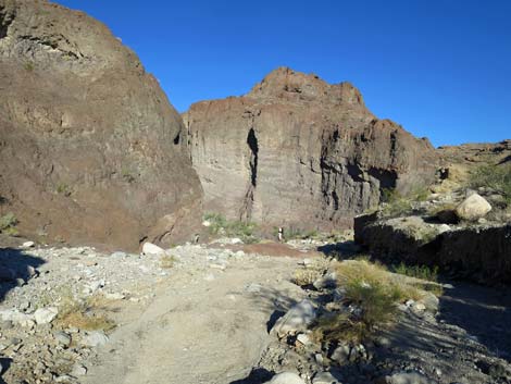
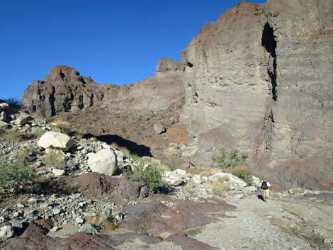
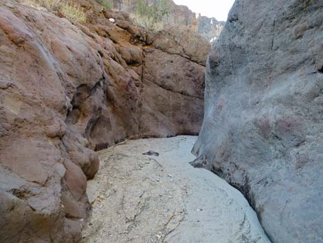
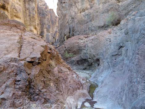
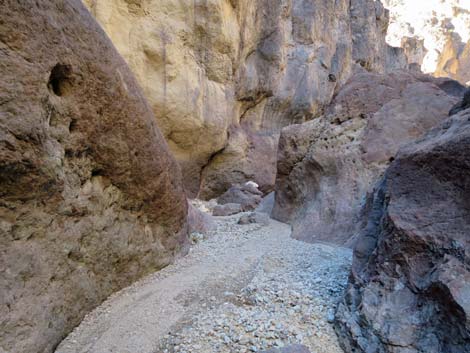
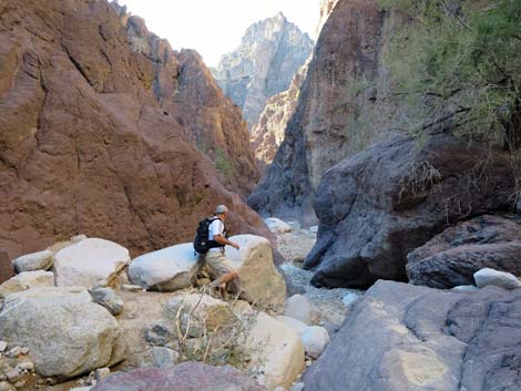
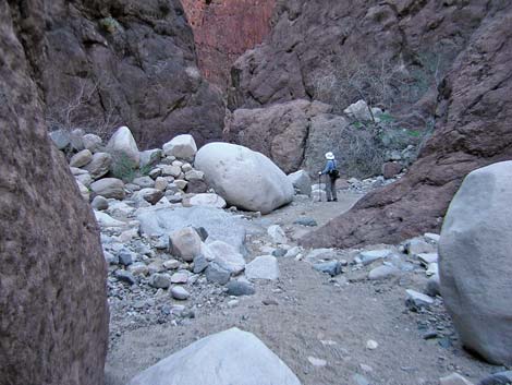
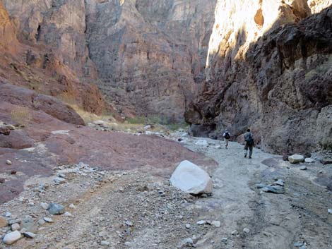
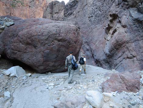
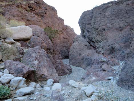
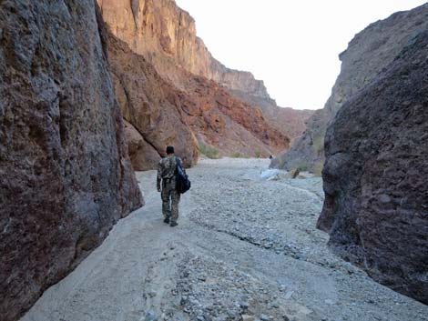
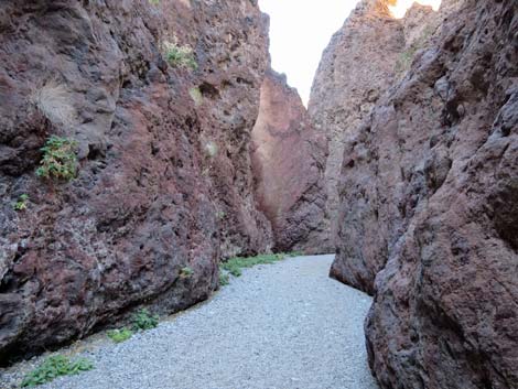
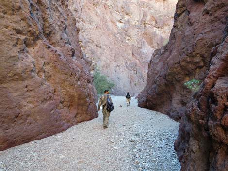
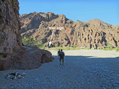
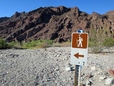
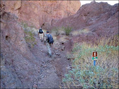
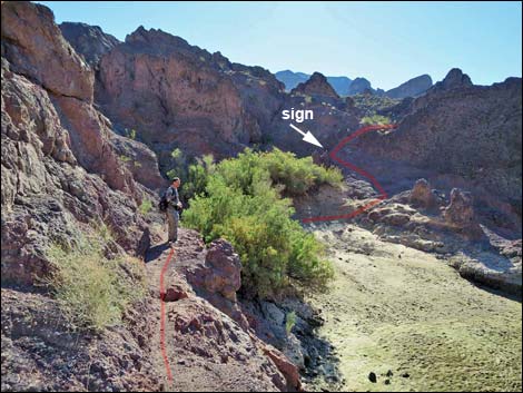
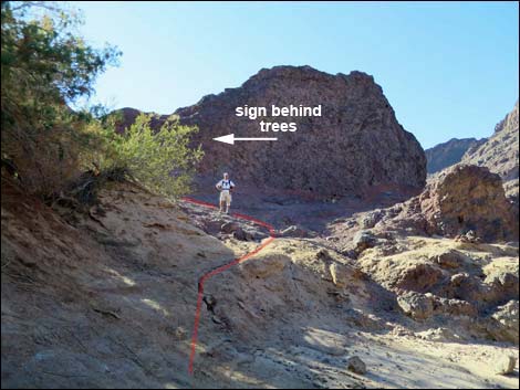
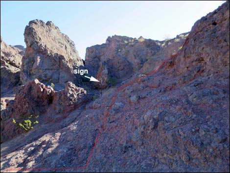
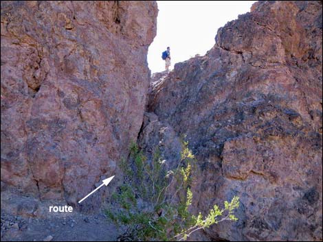
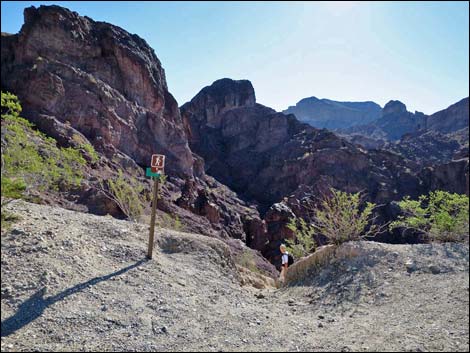
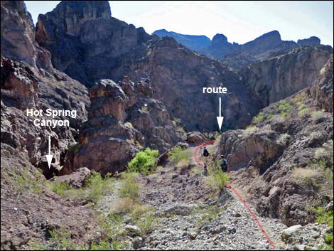
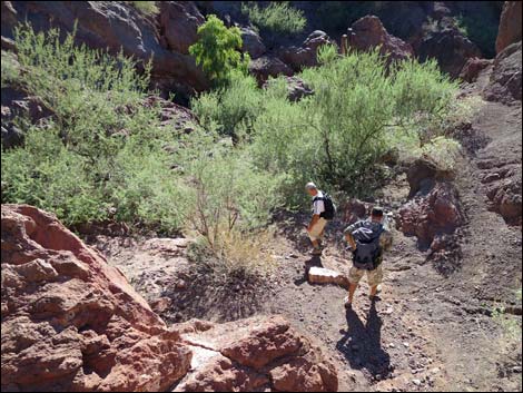
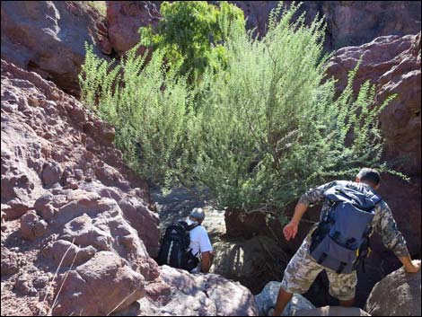
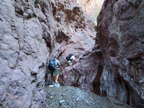
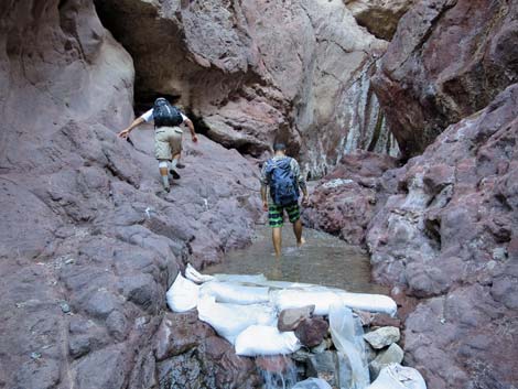
The dominant vegetation in the wash is catclaw acacia, brittlebush, Mormon tea, and cheesebush. The dry hillsides are sparsely vegetated with creosote bush, white bursage, a few beavertail pricklypear cactus, and little else. The ecological differences between the relatively well-watered wash and the dry ridges are clear. Following the main wash for about 0.51 miles (Wpt. 03), an alternate, more direct route to the hot springs cuts south to an old trail. Continuing down the main wash, the route runs through a shallow, but straight and narrow canyon for some 150 yards. When the canyon opens, the trail to Liberty Bell Arch leaves the main wash and turns north (watch for a sign on the right bank above the wash. The White Rock Canyon route continues downhill into deep narrows. Continuing down the main wash, the wash cuts into pyroclastic flow materials (volcanic rock) where many rocks and boulders were caught up in a matrix of reddish-brown rock (Wpt. 05). About 10 minutes into this layer, the route passes an enormous boulder (Wpt. 06) that fell from high on the cliffs above; it’s enough to make you stop and think for a minute. |
 |
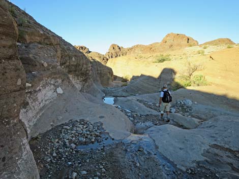
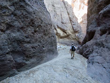
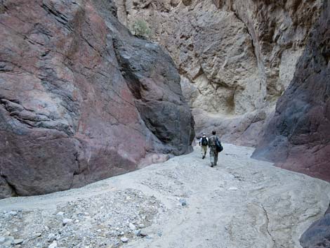
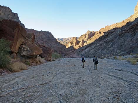
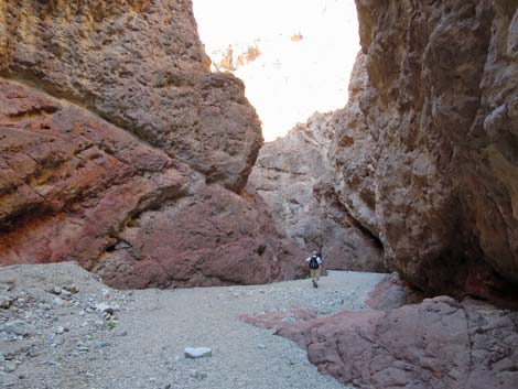
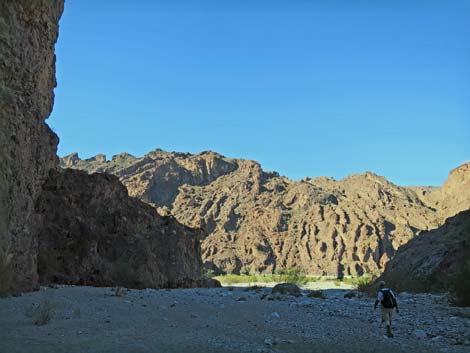
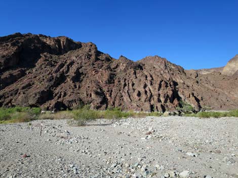
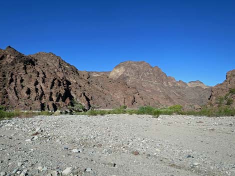
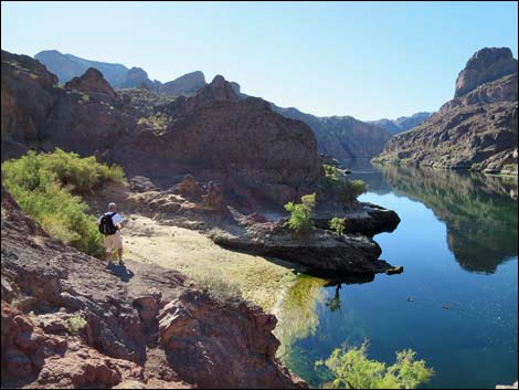
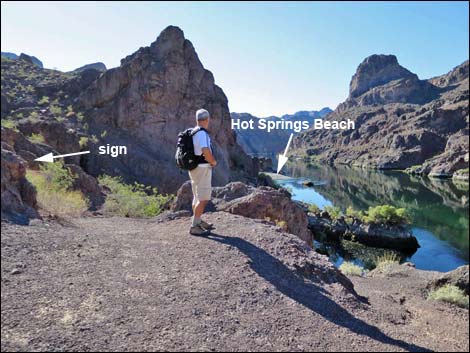
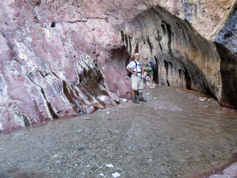
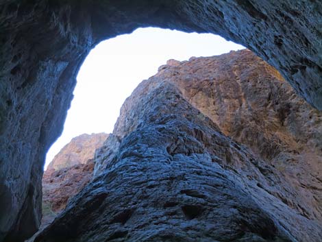
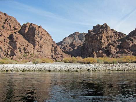
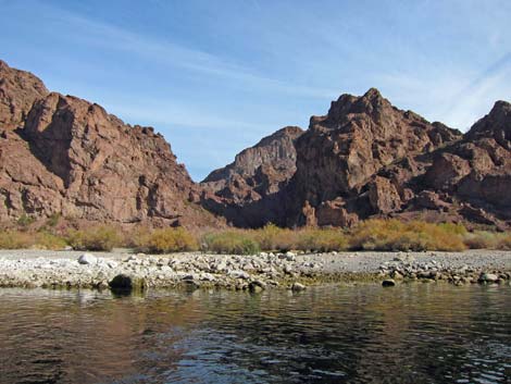
Through this part of the deep, reddish-brown canyon, the name "White Rock Canyon" becomes apparent. The mountains above the canyon (the high peaks, Wilson Ridge, east of Highway 93) are granitic, and over the eons, granite boulders washed down the canyon and became lodged in the narrows. The granite boulders aren't exactly white, but the contrast between the dark canyon walls and the light-colored boulders makes them look white. After winding through narrows for about 45 minutes, the canyon opens up into a broad wash (Wpt. 07) that gives a nice change from the claustrophobic narrows, but it only lasts for about 10 minutes. The wash starts into another section of narrows and passes some nice, large specimens of catclaw acacia, and also a few desert fir and rock nettle, two species not common before here. After about 10 minutes in these narrows, the canyon opens up (Wpt. 08) onto the Colorado River. Out on the White Rock Canyon alluvial fan, the first of several signs (marked with #7) points the way south towards Arizona Hot Springs. |
 |
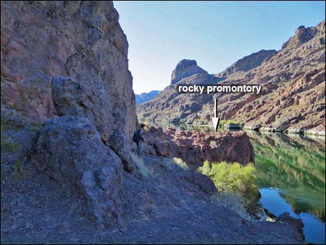
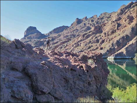
After taking a detour out to rest on the banks of the mighty Colorado River, the route continues off the south end of the beach, but back against the cliffs. Trail Sign #8 marks entry into ledges that lead downstream above the river. The route along the river is somewhat confusing because people have walked everywhere possible, obscuring the correct trail with myriad other trails to nowhere. However, after passing cliffs above the river, the trail leads onto a rocky promontory from which cliff-jumpers ply their trade when water levels are high and the weather is warm. From the rocky promontory, the trail winds around the back of a deep cove packed full of saltcedar trees. From under the trees at the back of the cove (Wpt. 09), the route cuts due south (rather than winding out the south side of cove) to the base of a cliff, then turns left and climbs eastward a few yards to Trail Sign #9. |
 |
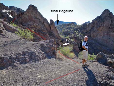
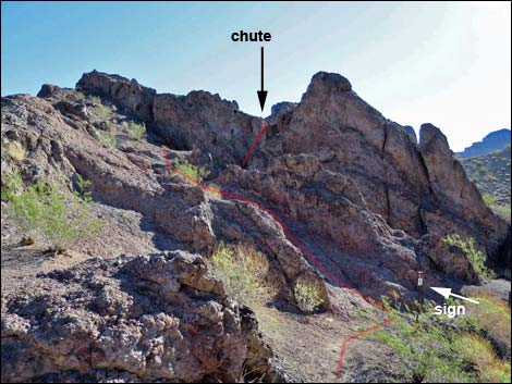
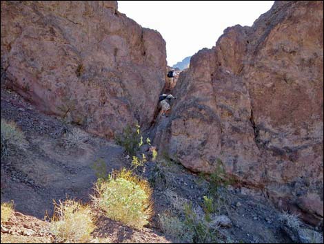
At Trail Sign #9, the route turns right and climbs a steep ramp over the rocky ridge to the south and arrives at yet another rocky promontory overlooking the river. Continuing south a few yards, the route turns left at Trail Sign #10 to run straight up the rocky hillside. About 20 yards up, Trail Sign #11 seems to be missing, but a fairly obvious use-trail cuts across the dirt slope to the base of an imposing rocky chute, which is not as difficult as it looks. After climbing the chute, a dirt trail again becomes more visible as it continues south and runs up to a saddle (Wpt. 10) on a dirt ridgeline. For hikers who miss the turn out of the deep cove and stay on the fairly obvious trail along the river, the use-trail eventually runs up to a cliff, turns left, and climbs a steep, rocky gully. Atop the gully, this alternate use-trail crests out on a ridge (Wpt. 10) and joins the main trail. |
 |
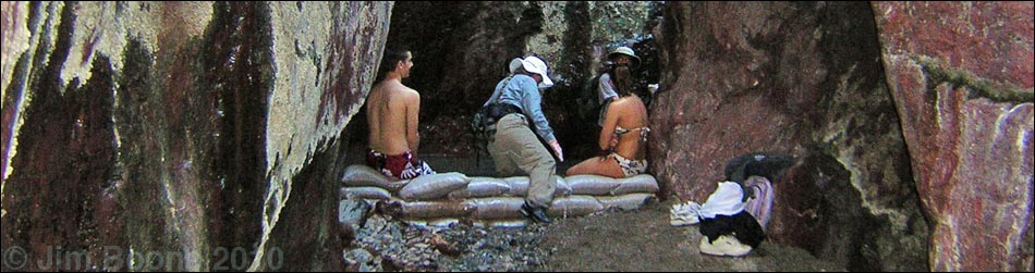
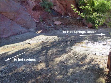
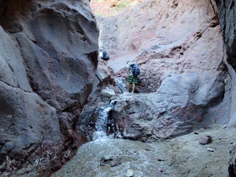
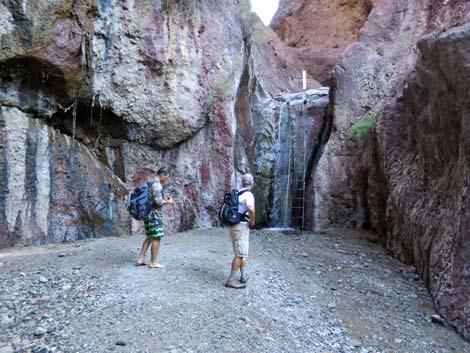
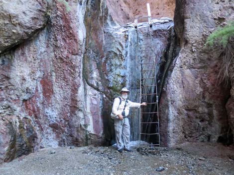
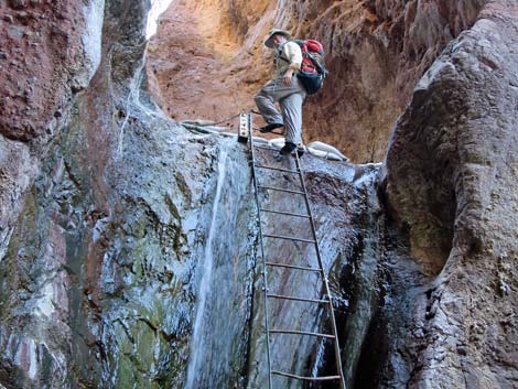
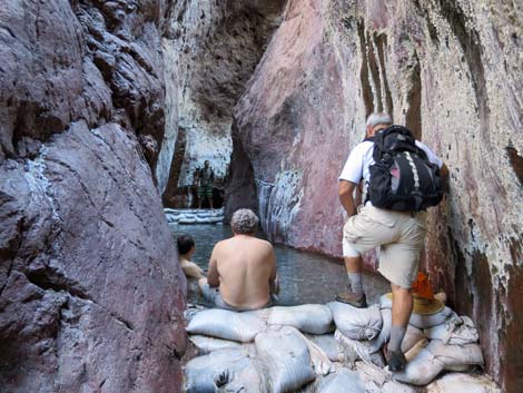
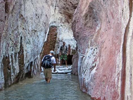
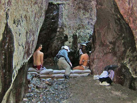
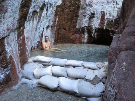
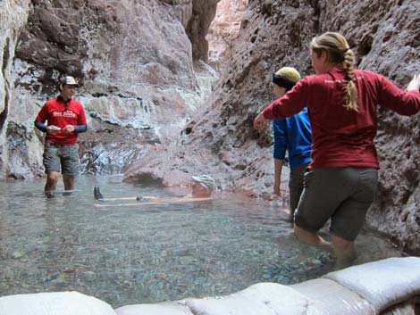
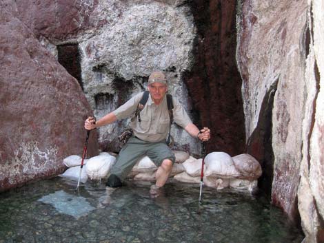
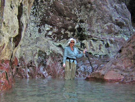
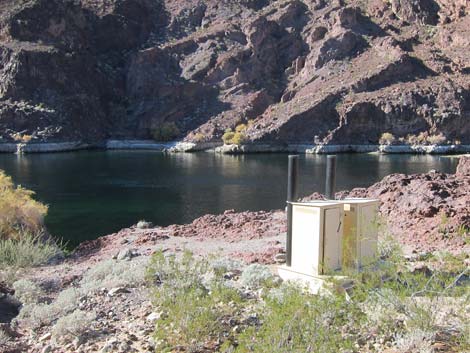
From the saddle atop the dirt ridgeline (Wpt. 10), the trail descends steeply into Hot Spring Canyon, dropping into the canyon by two large desert willow trees (Wpt. 11). At least in wet years, the creek flows to about here. Hot Spring Beach and toilets lie downstream to the right, while the hot spring is to the left. For boaters arriving over the water, the hot springs are in the left-most canyon, as seen from the river. The route runs up the deep, narrow canyon for a couple of minutes to a 20-ft waterfall that can be climbed using a metal ladder. The ladder is secure with handrails, but wet and high, so climb carefully. From atop the ladder, the route runs around a few corners and arrives at the hot springs (Wpt. 12), which are pools of hot water in the bottom of a water-polished, 8-ft-wide canyon. The pools have natural sills, but they are reinforced with sandbags that add several inches to the depth. The bottom is sandy, so water shoes are not absolutely required. The canyon is deep and narrow, so it can be chilly with no direct sunlight. |
 |
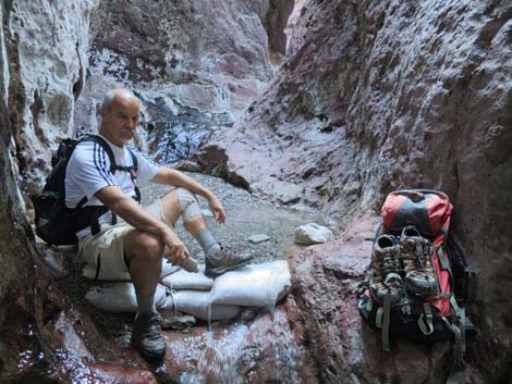
Relax in the hot water, then either return to the trailhead by retracing your route back through White Rock Canyon, or consider making a loop by hiking up Hot Spring Canyon to the trailhead. There are two options for hiking up Hot Spring Canyon. The easier route follows the wash but has several pour-overs to climb (one of which requires about 30 vertical feet of 4th-class scrambling), and the other follows a steep trail that avoids the pour-overs. |
 |
 |
 |
 |
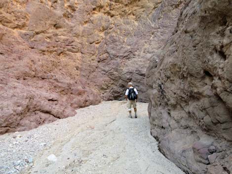
 Hiker in the canyon (view SW) |
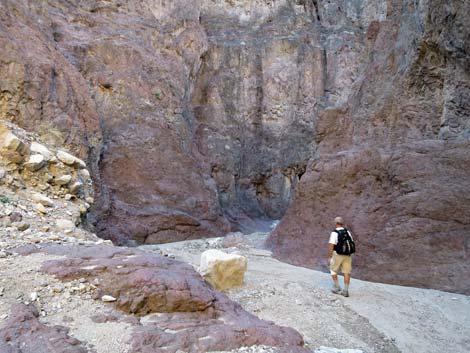
 Approaching trail junction (view SW) |
 Trail junction to Arizona Hot Spring and Liberty Bell Arch (view W) |
 Trail sign (view NW) |
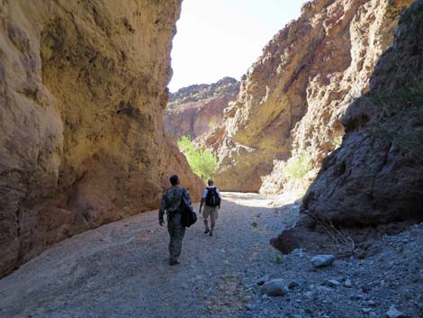
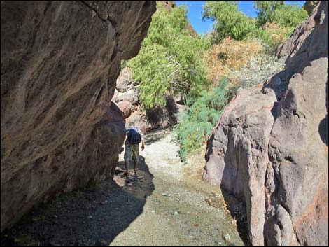
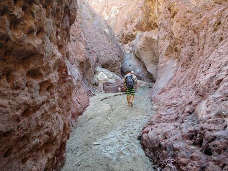
 Hikers starting into the narrow canyon (view NW) |
 Starting into the narrow canyon (view NW) |
 |
 |
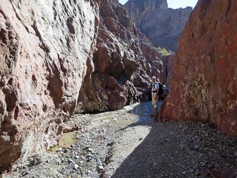
 Hiker in narrow canyon (view SW) |
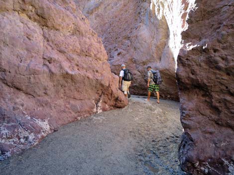
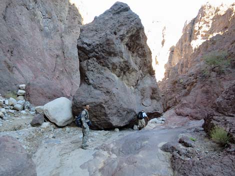 Hikers at the enormous boulder (view SW) |
 |
 |
 |
 |
 The white rocks in White Rock Canyon (view SW) |
 The white rocks in White Rock Canyon (view W) |
 |
 |
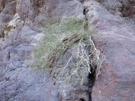 Chuckwalla Delight |
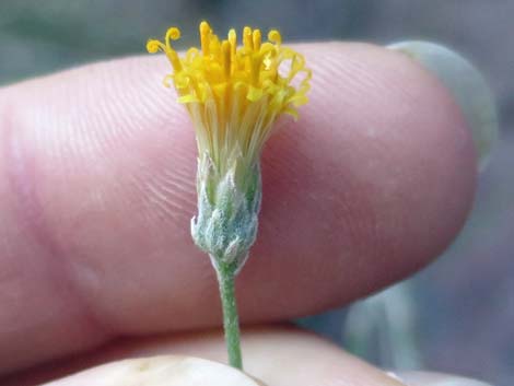 Don't forget to stop and smell the flowers |
 |
 |
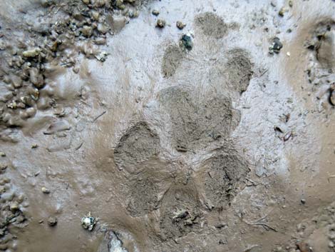 Bobcat tracks in fresh mud |
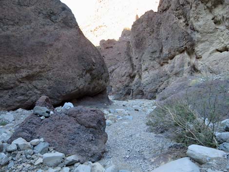 Narrow canyon (view SW) |
 |
 |
 |
 |
 |
 |
 |
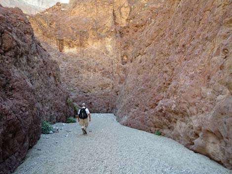 |
 Narrow canyon (view SW) |
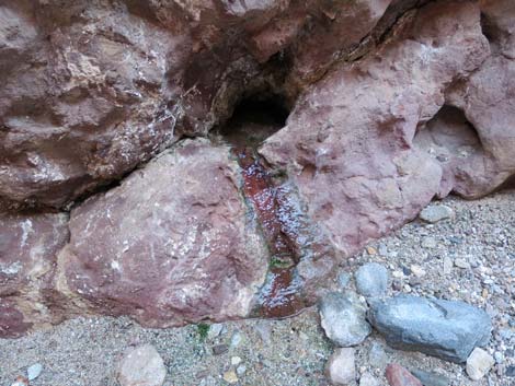 Small spring emerging from rock wall (view NW) |
 |
 |
 Hikers approaching at the Colorado River (view W) |
 Hikers arriving at the Colorado River (view W) |
 White Rock Canyon beach (view W) |
 White Rock Canyon beach (view NW) |
 Hiker detouring to the edge of the Colorado River (view S) |
 Trail Sign #7 points towards passage along the cliffs (view SW) |
 Trail Sign #7 points towards Arizona Hot Springs (view W) |
 Hikers continuing down the trail (view SW) |
 Hikers starting into passage along the cliffs; Trail Sign #8 (view S) |
 Hiker on passage along cliffs heading to rocky promontory (view S) |
 Hiker on rocky promontory (view SW) |
 Hiker on rocky promontory (view SW) |
 Trail beyond promontory winds into back of cove (view SE) |
 Hiker exiting the back of the cove (view S) |
 Note trail sign up in the rocks (view E) |
 Hikers passing Trail Sign #9 and climbing to notch (view S) |
 Hikers at next rocky promontory; note sign beyond hiker (view S) |
 Beyond hiker, route climbs to a chute (view S) |
 Route climbs chute over rocky ridge (view SE from promontory) |
 Hikers passing Trail Sign #10 just past promontory (view E) |
 Hikers climbing chute; Trail Sign #11 is missing (view SE) |
 Hikers atop chute; it is easier than it looks (view SE) |
 Beyond chute, use-trail runs towards final ridgeline (view SE) |
 Trail Sign #12 and hiker passing over saddle on ridgeline (view SE) |
 Use-trail drops towards Hot Spring Canyon (view S) |
 Use-trail drops towards Hot Spring Canyon (view S) |
 Use-trail approaching bottom of Hot Spring Canyon (view S) |
 Use-trail at bottom of Hot Spring Canyon (view S) |
 Hot Spring Creek; left to hot spring, right to beach (view SE) |
 Hiker starting up Hot Spring Canyon (view N) |
 Trail sign in the canyon (view NE) |
 Hiker in Hot Spring Canyon (view E) |
 |
 |
 Hiker in Hot Spring Canyon (view E) |
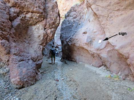 Notice warning sign in Hot Spring Canyon (view E) |
 Warning sign on rock wall (view S) |
 Hikers climbing waterfalls (view E) |
 |
 |
 Hikers arriving at the ladder (view E) |
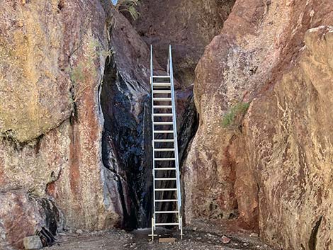 New ladder installed in 2022 (view E) |
 Bird-and-Hike guy at the old ladder (view E) |
 Bird-and-Hike guy atop the old ladder (view E) |
 Hikers in the canyon (view E) |
 Hiker entering a lower pool (view E) |
 Hiker approaching the middle pool (view E) |
 Stepping into the middle hot pool (view NE) |
 Hiker in the upper hot pool |
 Friends of Nevada Wilderness in the upper hot pool |
 Hiker at upper hot pool |
 Upper hot pool (view E) |
 Sometimes the hot pools are full of storm debris |
 View up from upper pool |
 White Rock Canyon Beach (view E from canoe) |
 White Rock Canyon Beach (view E from canoe) |
 Toilets on rocks just downstream from the beach |
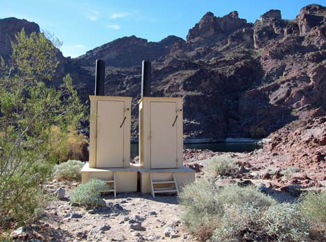 Pair of outhouses |
Table 1. Hiking Coordinates and Distances based on GPS Data (NAD27; UTM Zone 11S). Download Hiking GPS Waypoints (gpx) file.
| Wpt | Location | Easting | Northing | Elevation (ft) | Point-to-Point Distance | Cumulative Distance |
|---|---|---|---|---|---|---|
| 01 | Trailhead | 707677 | 3983997 | 1,536 | 0.00 | 0.00 |
| 02 | Old Trailhead Signs | 707597 | 3983597 | 1,492 | . | . |
| 03 | Alternate Route | 707139 | 3983515 | 1,393 | 0.51 | 0.51 |
| 04 | Enter Narrows | 706559 | 3983340 | 1,290 | 0.39 | 0.90 |
| 05 | Getting into volcanics | 706459 | 3983352 | 1,272 | 0.09 | 0.99 |
| 06 | Enormous boulder | 706150 | 3983220 | 1,171 | 0.26 | 1.25 |
| 07 | Below narrows | 705572 | 3982929 | 956 | 0.63 | 1.88 |
| 08 | Mouth of the canyon | 704865 | 3982063 | 661 | 0.81 | 2.69 |
| 09 | Turn Away from River | 704925 | 3981848 | 697 | 0.20 | 2.89 |
| 10 | Crossing ridge | 705009 | 3981817 | 768 | 0.12 | 3.01 |
| 11 | Hot Spring Canyon | 705061 | 3981744 | 653 | 0.08 | 3.09 |
| 12 | Hot Springs | 705156 | 3981760 | 757 | 0.15 | 3.24 |
Happy Hiking! All distances, elevations, and other facts are approximate.
![]() ; Last updated 240326
; Last updated 240326
| Hiking Around Lake Mead | Hiking Around Las Vegas | Glossary | Copyright, Conditions, Disclaimer | Home |