Hiking Around Las Vegas, Lake Mead National Recreation Area
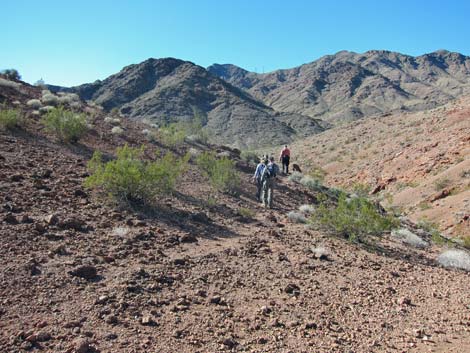
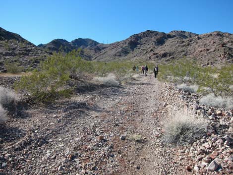
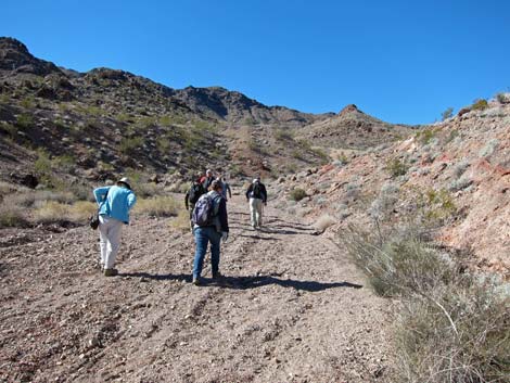
 Hikers at the trailhead (view W) |
Overview This Cholla Forest Loop runs out to a dense grove of Teddybear Cholla, perhaps the northern-most stand of this species in Nevada. This hike can be done as an add-on to a hike through Seven Falls Canyon or Many Falls Canyon, or it can be done by hiking directly using powerline roads. If the entire loop is hiked, there is one Class 3 pour-over to descend. It is fairly easy, but these things always look worse from above. This hike is described as an add-on to the Seven Falls Canyon route, therefore it starts at the end of that route, runs out to the cholla forest, makes a loop, and returns to the trailhead via powerline roads. Link to map. |
 Departing Seven Falls Canyon saddle (view S) |
Watch Out Other than the standard warnings about hiking in the desert, ...this hike is pretty safe, but the full loop includes one Class 3 pour-over. Be extra careful when high enough to fall and get hurt. A rope probably won't be needed. While hiking, please respect the land and the other people out there, and try to Leave No Trace of your passage. If connecting with other routes, be sure to bring the 10 Essentials. Getting to the Trailhead This hike is located in Lake Mead National Recreation Area, not far from the Visitor Center and directly up the hill from Boulder Beach. From town, drive out to the Boulder Beach area at Lake Mead. From Lakeshore Road at Mile Post 2, drive up to the Brown Tank Trailhead. Park here; this is the trailhead. |
 Descending side hill towards powerline road (view S) |
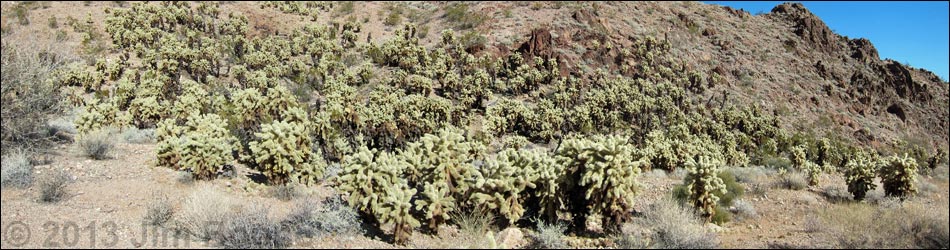
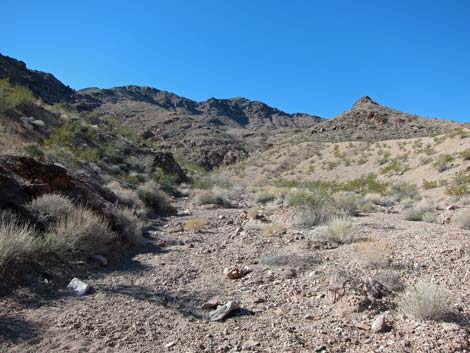
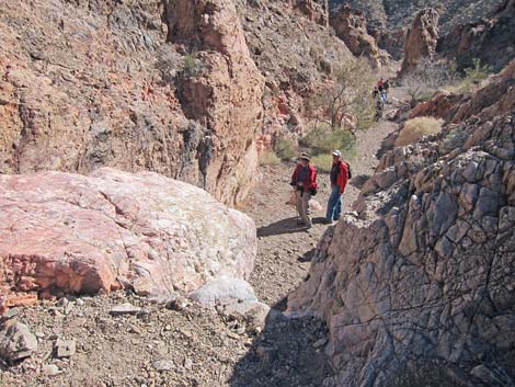
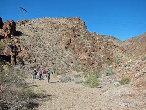
The Hike From the saddle at the head of Seven Falls Canyon (Table 1, Waypoint 13), the route crosses over the saddle and runs southwest following a game trail down into the next canyon. In the bottom of the canyon, the route continues out the side canyon into a broad wash with powerlines. The route continues to the powerline road, then turns uphill to a fork in the road (Wpt. 50). At the fork, the route turns left, passes an authorized vehicles only sign, and continues southwest. The route runs up the side road, turns a corner to the right, and shortly arrives at the cholla forest (Wpt. 51). The cholla cactus a growing, quite densely, on a south-facing slope. Being a more southerly species, they probably need the extra heat to survive our cold winters. From the cholla forest (Wpt. 51), hikes can either start back towards the trailhead or continue on to make a loop. |
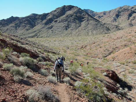
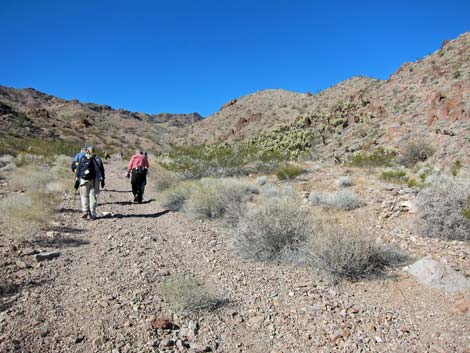
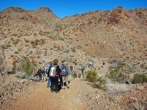
 Hikers approaching powerline (view SW) |
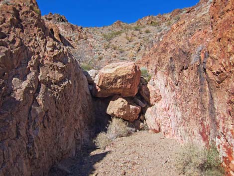
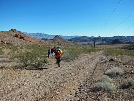
For a loop, the route continues west and up the cholla forest road. At the next side canyon to the left (Wpt. 52), another stand of cholla can be seen several hundred yards out, again on a south-facing slope. Continuing, the route follows an old road that cuts up and out of the wash, climbing rather steeply onto a ridgeline. There are more cholla on the south side of the ridge below the road. The old road eventually descends steeply into a wash (Wpt. 53), and the route departs the road to head downstream. Progress is briefly interrupted by a Class 3 pour-over (Wpt. 54), but then the wash rejoins the powerline road (Wpt. 50) to complete the loop. Continuing east, the powerline road is followed east and out of the canyons. Along the way (Wpt. 55), hikers might consider returning via Many Falls Canyon, which makes for a good scramble. Otherwise, the powerline road continues east to intersect another dirt road (Wpt. 56), turns left to head north, and passes a pumping station. At the next intersection (Wpt. 57), the route bears left again and soon arrives at the trailhead (Wpt. 01). |
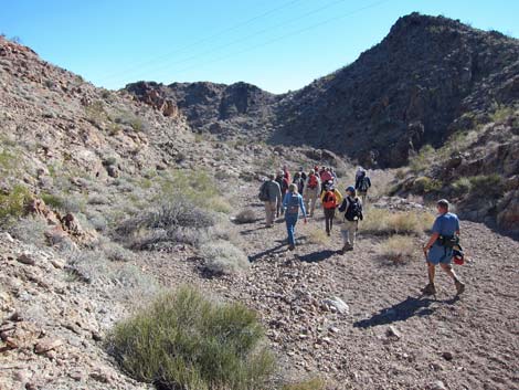
 Hikers on side road (view SW) |
 Hikers approaching cholla forest (view W) |
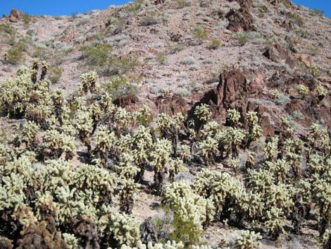
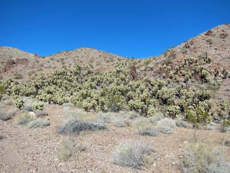 Teddybear Cholla forest (view NW) |
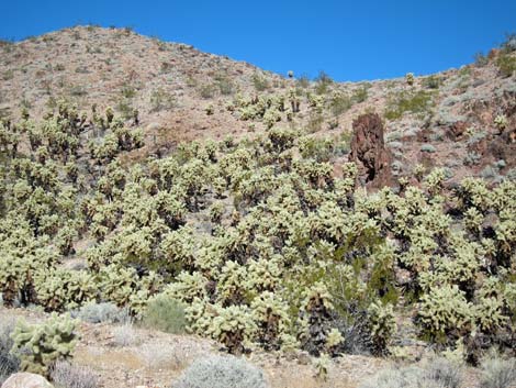 Teddybear Cholla forest (view NW) |
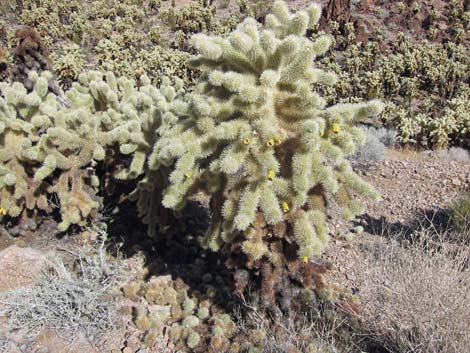 Teddybear Cholla forest |
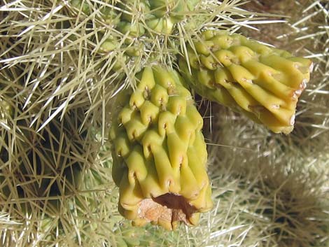 Dried Teddybear Cholla fruit |
 Teddybear Cholla forest (view N) |
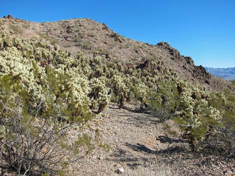 Teddybear Cholla forest (view NE) |
 Hikers depart cholla forest and starting loop (view W) |
 More cholla in side canyon (view SW) |
 More cholla in side canyon -- zoom (view SW) |
 Hikers descending into wash (view NW) |
 Hikers heading down wash (view E) |
 Pour-over (view E from above) |
 Pour-over (view E from below) |
 Hikers in wash (view E) |
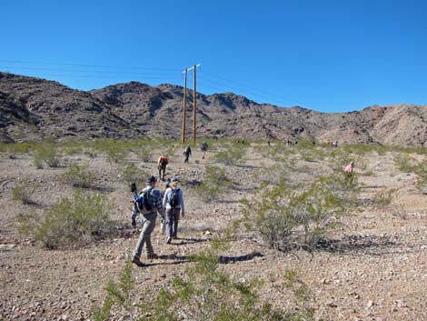
 Hiker on powerline road (view E) |
 More to come ... |
Table 1. Hiking Coordinates Based on GPS Data (NAD27; UTM Zone 11S). Download Hiking GPS Waypoints (*.gpx) file.
| Wpt. | Location | UTM Easting | UTM Northing | Elevation (ft) | Point-to-Point Distance (mi) | Cumulative Distance (mi) | Verified |
|---|---|---|---|---|---|---|---|
| 13 | Saddle | 694908 | 3989052 | 2,383 | 0.00 | 0.00 | GPS |
| 50 | Road Forks | 694538 | 3988866 | 2,377 | 0.31 | 0.31 | GPS |
| 51 | Cholla Patch | 694252 | 3988759 | 2,476 | 0.21 | 0.52 | GPS |
| 52 | Wash Forks | 694034 | 3988812 | 2,554 | 0.17 | 0.69 | GPS |
| 53 | Road at Wash | 693856 | 3989040 | 2,625 | 0.20 | 0.89 | GPS |
| 54 | Pour-Over | 693985 | 3989068 | 2,560 | 0.15 | 1.04 | GPS |
| 55 | Route Departs Road | 694852 | 3988663 | 2,266 | 0.76 | 1.80 | GPS |
| 56 | Road Intersection | 697113 | 3988254 | 1,673 | 1.52 | 3.32 | Map |
| 57 | Road Intersection | 697396 | 3988934 | 1,558 | 0.49 | 3.81 | Map |
| 01 | Trailhead | 697353 | 3989405 | 1,473 | 0.28 | 4.09 | Yes |
Happy Hiking! All distances, elevations, and other facts are approximate.
![]() ; Last updated 240326
; Last updated 240326
| Hiking Around Lake Mead | Hiking Around Las Vegas | Glossary | Copyright, Conditions, Disclaimer | Home |