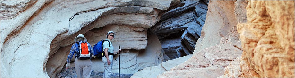
(aka Lovell Wash Narrows, Anniversary Mine)
Hiking Around Las Vegas, Lake Mead National Recreation Area
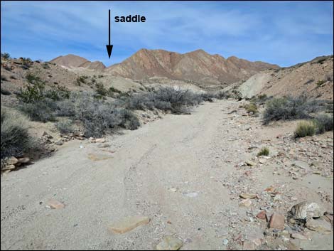
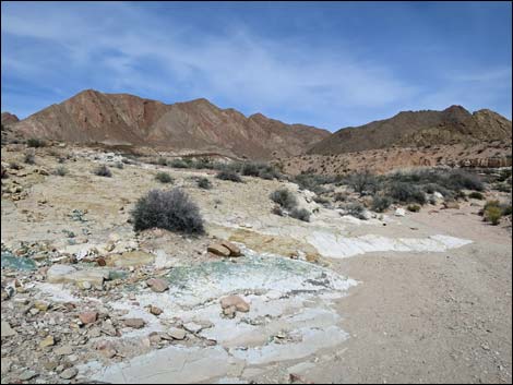
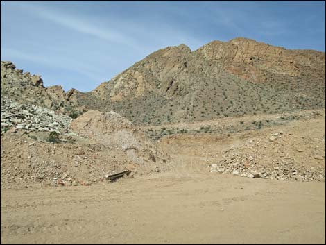
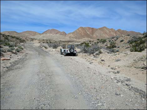 Trailhead parking along Anniversary Mine Road (view N) |
NOTE: March 2024: This alternate route into Anniversary Narrows is not necessary as the landowner is not currently defending his property. More information. If you value access to your public lands, this has gotten ugly. If you vote, you need to vote Democratic because the Republicans want most public lands sold off -- and more places will be closed to public access. Overview Since 2011, access to Anniversary Narrows via the regular route has alternately been improved and closed. Being a resourceful group, hikers have found ways to access the narrows and other parts of the Muddy Mountains Wilderness affected by the closures. As we say: we are hikers, so we hike -- even farther when necessary. The 4.5-mile round-trip alternative presented here (hiking around the mine area to the east) has been used by hikers for some time, but it is relatively long and much harder than the regular route (especially compared to driving to the mouth of the narrows). It is, however, much more interesting than the original. This alternative crosses private land, but far from where the owner's activities currently take place. On-site personnel say they know that hikers use the route, but seem unconcerned. Link to map. |
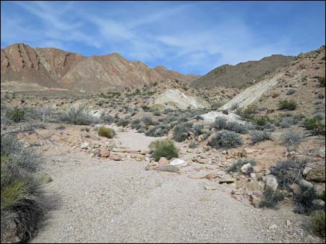
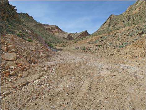
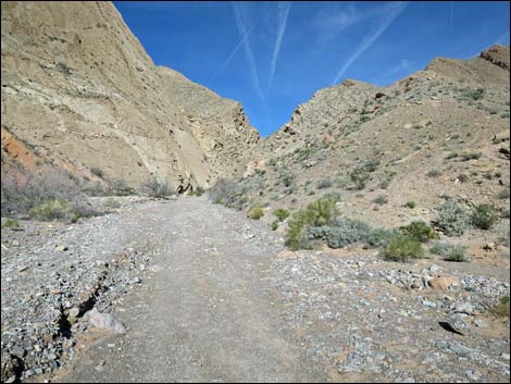
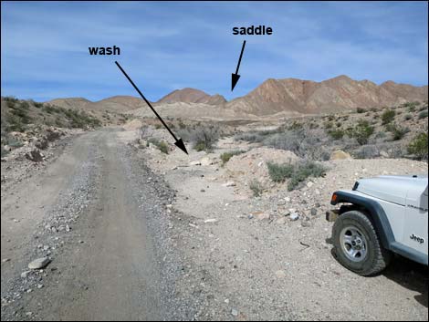 The route starts up the wash heading towards the saddle |
Watch Out Other than the standard warnings about hiking in the desert, ...this is an old mining district. While mines are inherently interesting, they are always dangerous. It is never safe to enter old mines. If rain threatens, stay out of the narrows because of flash floods. While hiking, please respect the land and the other people out there, and try to Leave No Trace of your passage. Be sure to bring what you need of the 10 Essentials. The active mining area is on private property. Please respect private property and help ensure continued good relations between the landowner and hikers. Getting to the Trailhead This hike is located along Northshore Road in Lake Mead National Recreation Area, about 1 hour northeast of Las Vegas. |
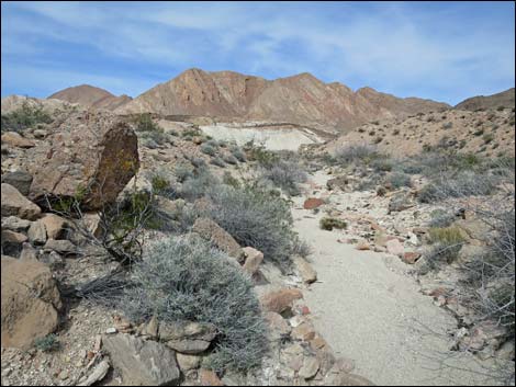
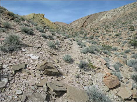
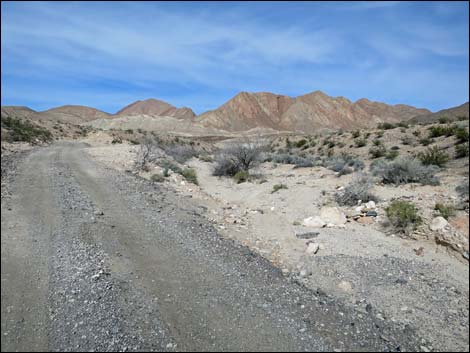 Starting up the wash (view N) |
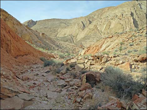
From town, drive out to Lake Mead, then drive north on Northshore Road for 16.0 miles to the 16.0 Mile (Anniversary) Trailhead. From the trailhead, hikers can walk or drive 2WD-HC vehicles farther out Anniversary Mine Road. [Note: this changes frequently.] At about 0.93 miles from the pavement, Anniversary Mine Road crosses a wash. Park here in the wide spot on the east side; this is the trailhead for the alternate route to Anniversary Narrows when the Regular Route is blocked. Hikers can also continue to Ore Car Mine parking and stop there, using mining roads to start the hike rather than the wash. The Hike From the parking area along Anniversary Mine Road (Table 1, Waypoint 20), hikers depart the roadway to the right following a fairly broad, sandy wash. Illegal off-road drivers have driven a short way up the wash, but they are soon blocked and are making a mess turning around. |
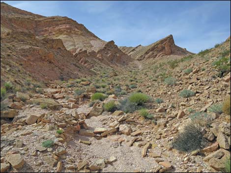
 Fairly broad, sandy wash (view N) |
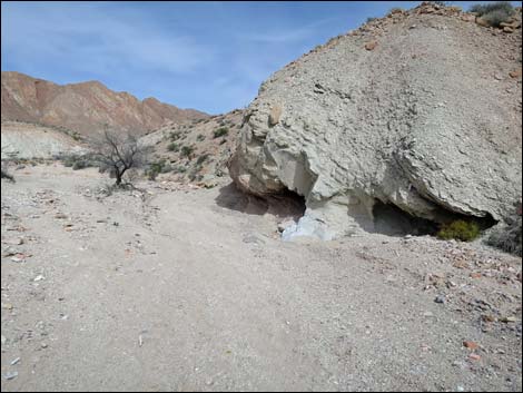
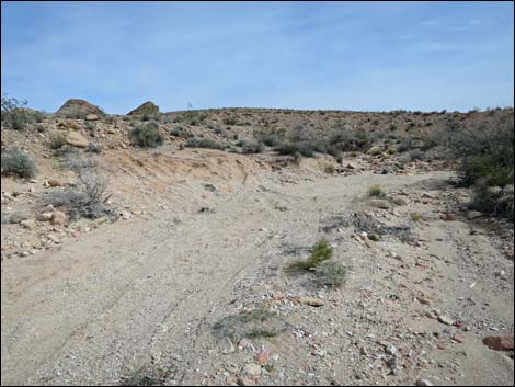
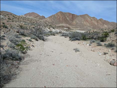
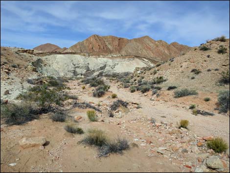
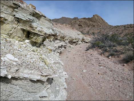
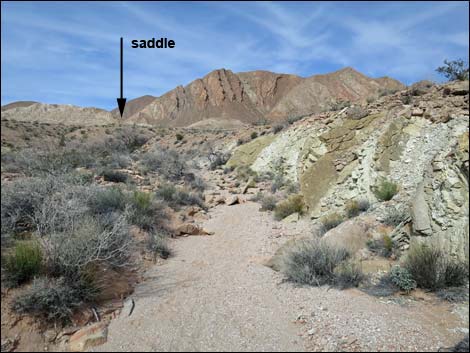
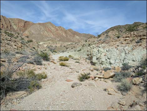
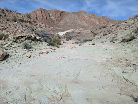
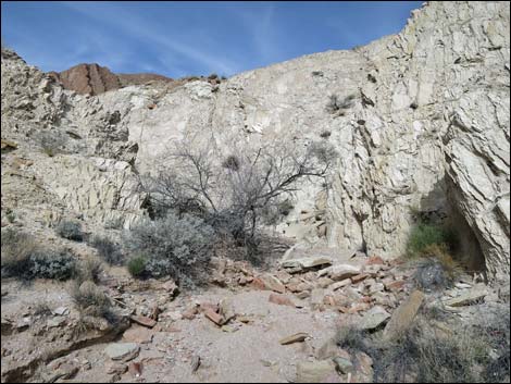
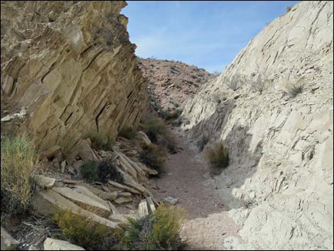
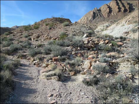
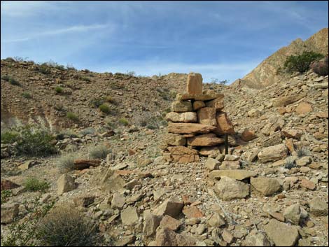
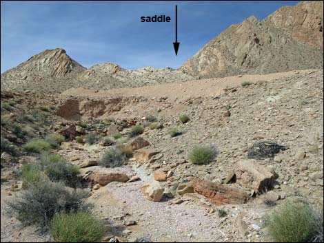
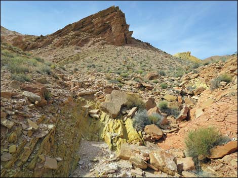
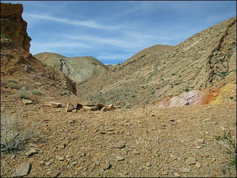
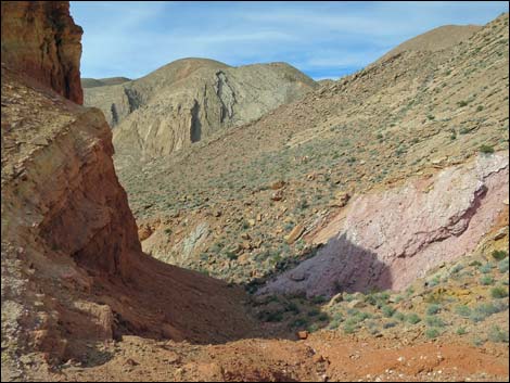
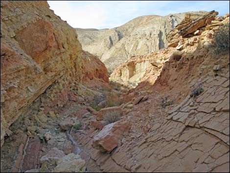
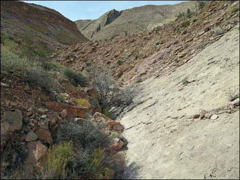
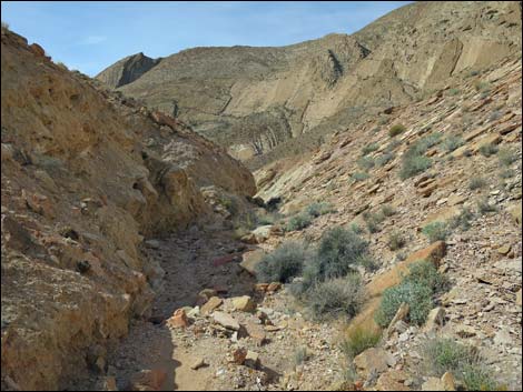
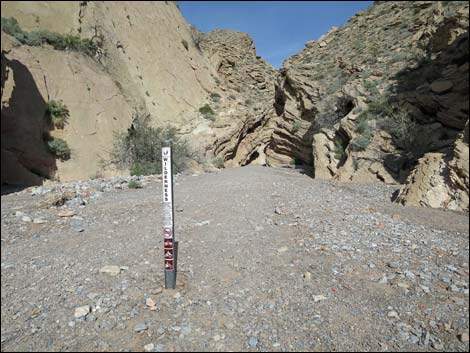
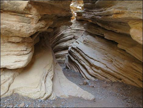
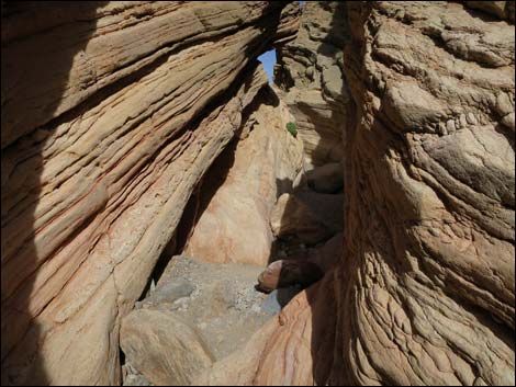
The route follows the main wash to a fork (Wpt. 21), then stays left. In fact, at every question, the route stays left in the main wash. When hiking up the wash, keep track of the saddle, ahead on the horizon, where the route crosses the ridgeline. The route runs through a tight, narrow section of wash and eventually arrives at the edge of private land (Wpt. 22), which is marked by a large cairn on the right side of the wash. Shortly thereafter, the wash is blocked by bulldozer debris and hikers are forced to climb out of the wash, preferably to the right where hikers get their first view of the mining operation off to the left. Continuing north, quickly, across the cleared area, the route runs up into a little canyon. Staying left, soon the construction works are passed, and hikers encounter a scenic little canyon with interesting geological artifacts along the way. The route follows the wash upstream. Nearing the saddle, a use-trail on the west side of the gully (left) makes for easier hiking onto the saddle (Wpt. 24). |
 Interesting erosion pattern along the wash (view N) |
From the saddle, the route continues down the canyon on the other side. Parts are a bit steep and narrow, and there is one point where a few boulders block the bottom of the wash, but generally the hiking is easy. Eventually, Lovell Wash comes into view, and then the canyon opens widely at the confluence (Wpt. 25). From the confluence, the route turns upstream, quickly passing a wilderness boundary marker and entering the narrows (Wpt. 07). After spending time wandering up the narrows, the wash opens (Wpt. 08) and hikers can continue into the Muddy Mountains Wilderness for as far as is desired. When returning, after exiting the narrows, the route turns left up the side canyon (Wpt. 25) where the confluence is big enough to park a few trucks in the shade. From there, follow your footprints back to the trailhead. |
 Illegal off-road drivers have stopped here (view E) Illegal off-road drivers have stopped here (view E) |
 Fairly broad, sandy wash (view N) |
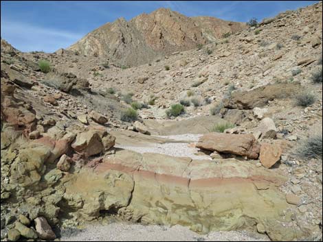
 Colorful green mudstones |
 Scenic wash |
 |
 |
 |
 |
 |
 |
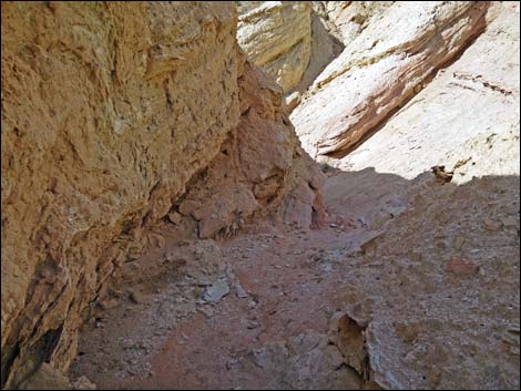
 Approaching narrow section (view N) |
 Narrow section with mudstone walls (view NW) Narrow section with mudstone walls (view NW) |
 Route stays left in main wash |
 Large cairn marks property boundary (view NW) |
 This red-banded green sill is on private land (view N) |
 Bulldozed dirt fills in the wash forcing an exit right (view N) |
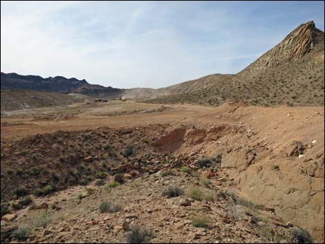 Looking west towards mine activities |
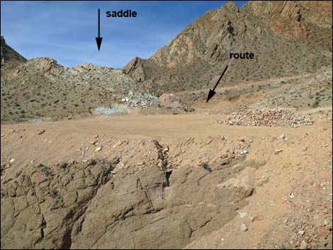 The route crosses a cleared area (view N) |
 Route runs into canyon, staying left (view N) |
 End of the bulldozer work (view NW) |
 |
 |
 Use-trail when approaching the saddle (view NW) |
 Saddle (view NW) |
 Canyon continues past the saddle (view NW) |
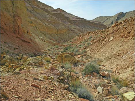 Canyon past the saddle (view NW) |
 |
 |
 |
 |
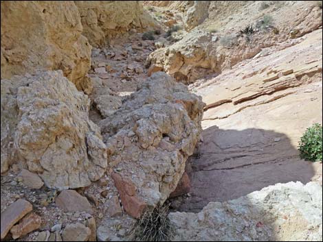 A couple of boulders block the canyon (view NW) |
 Most of the canyon is easy walking (view NW) |
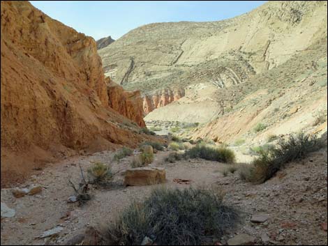 First view of Lovell Wash (view NW) |
 Confluence with Lovell Wash (view NW) |
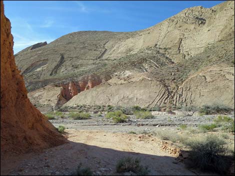
 Lovell Wash (view NE from confluence) |
 Wilderness boundary marker at mouth of Anniversary Narrows) |
 Anniversary Narrows (view NE, upstream) |
 Anniversary Narrows (view NE, upstream) |
Table 1. Hiking Coordinates Based on GPS Data (NAD27, UTM Zone 11S). Download Hiking GPS Waypoints (*.gpx) file.
| Wpt. | Location | UTM Easting | UTM Northing | Elevation (ft) | Point-to-Point Distance (mi) | Cumulative Distance (mi) | Verified |
|---|---|---|---|---|---|---|---|
| 20 | Alt. Trailhead | 707464 | 4008978 | 1,774 | 0.00 | 0.00 | GPS |
| 21 | Wash Forks | 707586 | 4009841 | 1,855 | 0.66 | 0.66 | GPS |
| 22 | Entering Private Land | 707349 | 4010070 | 1,927 | 0.26 | 0.92 | GPS |
| 23 | Crossing Bladed Area | 707254 | 4010302 | 2,037 | 0.22 | 1.14 | GPS |
| 24 | Saddle | 706961 | 4010527 | 2,204 | 0.27 | 1.41 | GPS |
| 25 | Lovell Wash | 706470 | 4010536 | 1,958 | 0.42 | 1.83 | GPS |
| 07 | Narrows, Lower End | 706556 | 4010679 | 1,964 | 0.11 | 1.94 | GPS |
| 08 | Narrows, Upper End | 706884 | 4011022 | 2,067 | 0.32 | 2.26 | GPS |
| 20 | Alt. Trailhead | 707464 | 4008978 | 1,774 | 2.26 | 4.52 | GPS |
Happy Hiking! All distances, elevations, and other facts are approximate.
![]() ; Last updated 240326
; Last updated 240326
| Hiking Around Lake Mead | Hiking Around Las Vegas | Glossary | Copyright, Conditions, Disclaimer | Home |