 |
| Home | Wilderness | Hiking | Wilderness Hikes | Ireteba Peaks Wilderness | Backroads | Camp Dupont Mine Road |
Camp Dupont Mine Road Map - Overview
overview map | site map |
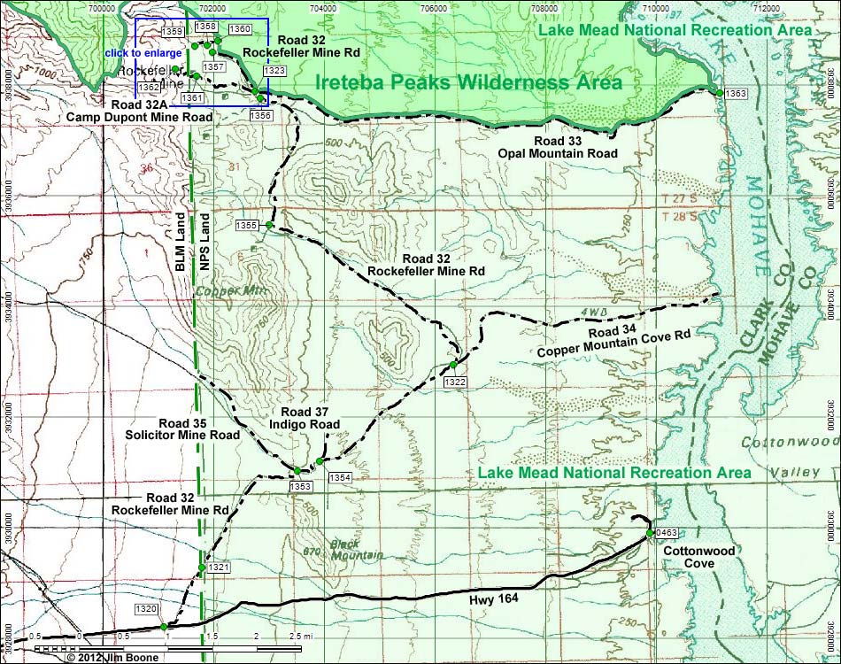 |
| Note: Roads are black (solid = paved; dashed = unpaved). Trails and routes are red (solid = main; dashed = adjacent or alternate). Map based on USGS 7.5-minute topo map. North is at the top. Grid is UTM NAD27 CONUS. Wilderness Area boundaries (solid green) based on BLM data. National Park boundaries (dashed green) based on NPS data. |
Happy Hiking! All distances, elevations, and other facts are approximate.
 ; Last updated 121023 ; Last updated 121023 |
|