birdandhike.com logo
Home | Wilderness | Hiking | Lake Mead | Fortification Hill Road
Fortification Hill Road Map
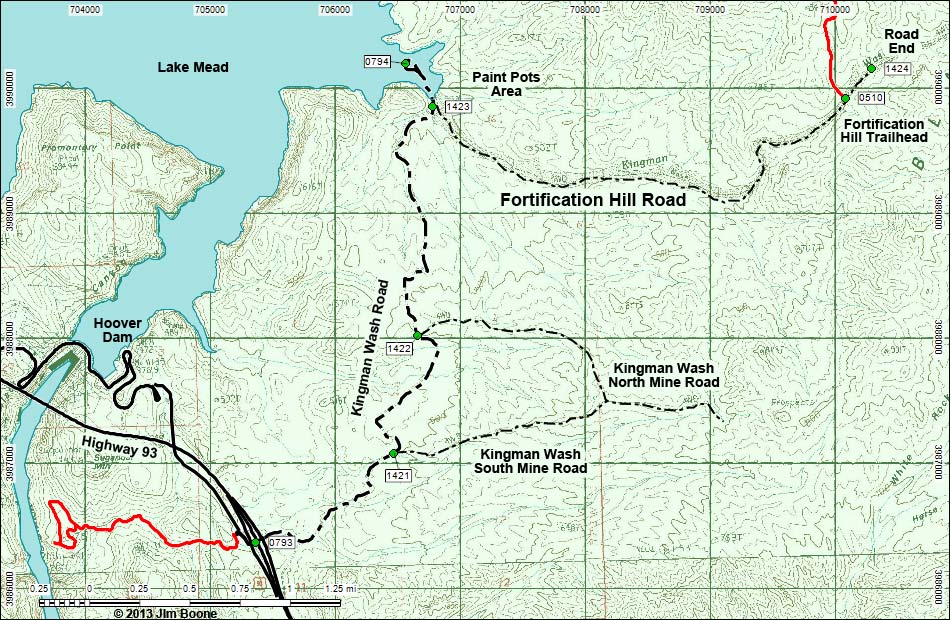
Backroads Around Las Vegas, Lake Mead National Recreation Area
Kingman Wash Road
Note: Roads are black (solid = paved; dashed = unpaved). Trails and routes are red (solid = main; dashed = adjacent or alternate). Map based on USGS 7.5-minute topo map. North is at the top. Grid is UTM NAD27 CONUS. National Park Areas (boundaries dashed green, fill light green) based on NPS data.

Happy Hiking! All distances, elevations, and other facts are approximate.
copyright; Last updated 130203

Fortification Hill Road Hiking Around Lake Mead Glossary Copyright, Conditions, Disclaimer Home
Google Ads