Backroads Around Las Vegas, Lake Mead National Recreation Area
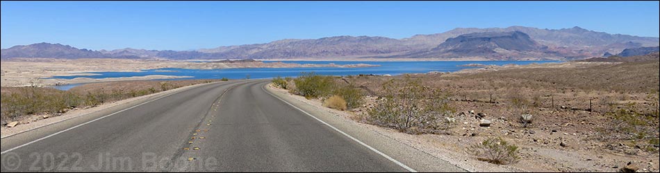
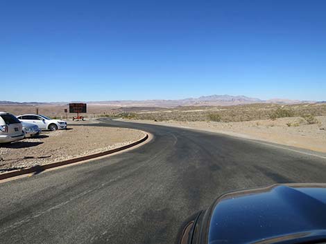
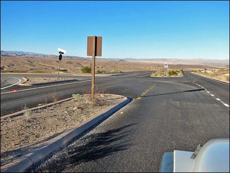
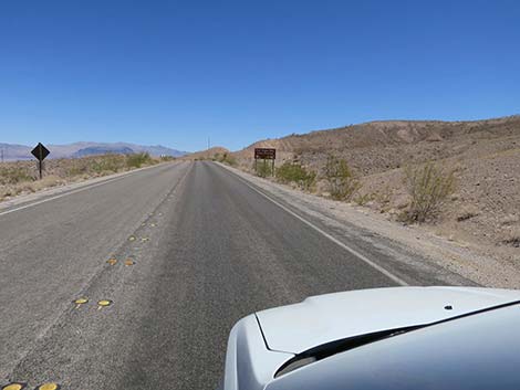
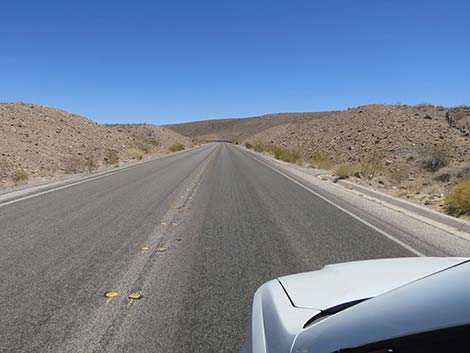
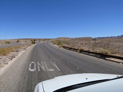
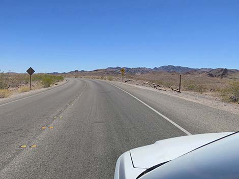
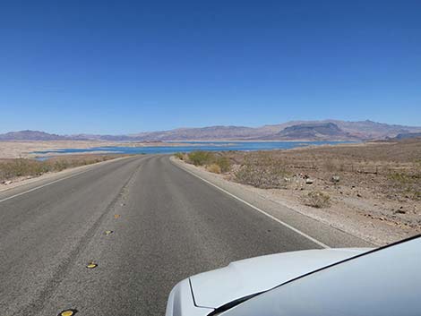
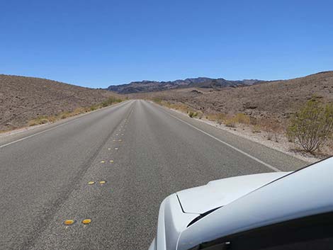
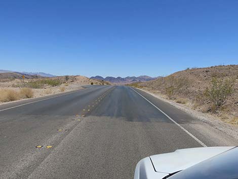
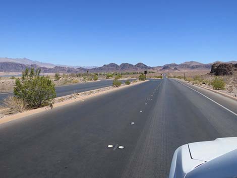
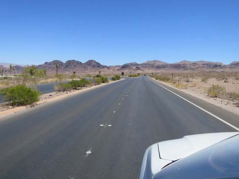
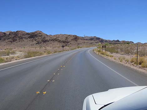
 Lake Mead Parkway: cresting the hill and first view east (view NE) |
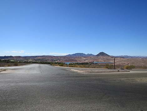
Overview Lakeshore Road, 12.6 miles in length, is the main highway along the western shore of Lake Mead. The road is paved, well maintained, and suitable for all vehicles, and for the most part has a posted speed limit of 50 mph. The road runs through Lake Mead National Recreation Area, and as such, requires an entrance fee. Lakeshore Road connects Henderson (eastern Las Vegas Urban Area) with Boulder City, and it provides access to a full-service marina, a developed campground, swimming beaches, trailheads, and miles and miles of grand scenery across Lake Mead out into mountains in the distance. Lake Mead is very low, so views of the lake are considerably more distant than a few years ago. Link to map. |
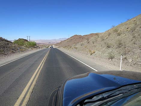
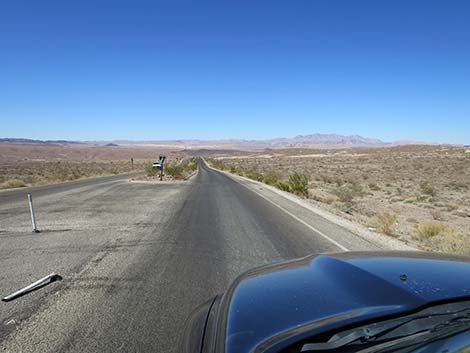
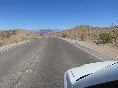
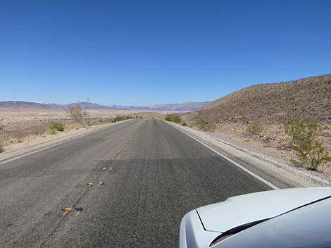
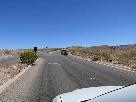
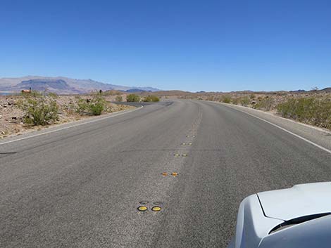
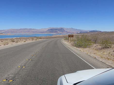
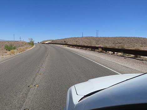
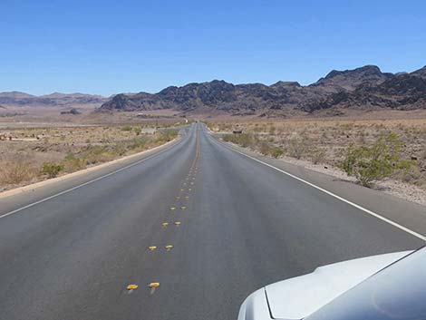
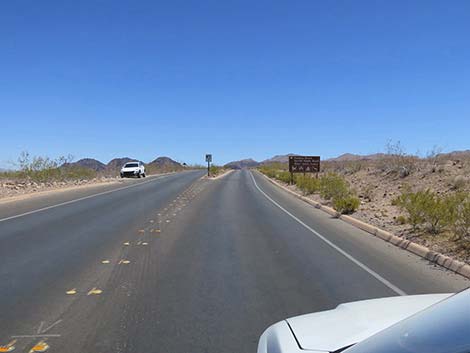
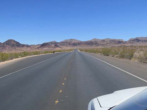
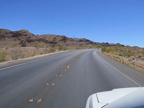
 Lake Mead Parkway approaching last Lake Las Vegas turnoff (view NE) |
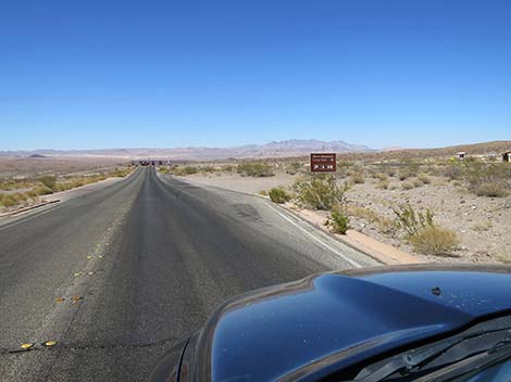
Watch Out Other than the standard warnings about being in the desert, ...this is a safe drive, but watch the speed limit and highway warning signs. Watch too for turning vehicles, a few bicycles, and the occasional bighorn sheep. There is no gas along the road. While out, please respect the land and the other people out there, and try to Leave No Trace of your passage. This road runs through fairly developed country, but always bring what you need of the 10 Essentials. Getting to the Roadhead This road is located along the western shore of Lake Mead, about 30 minutes southeast of downtown Las Vegas. From town, drive south on Highway 93/95/515 for 14 miles to Lake Mead Parkway (Exit 23). Exit onto Lake Mead Parkway eastbound and drive for 8 miles through Henderson to the boundary of Lake Mead NRA. |
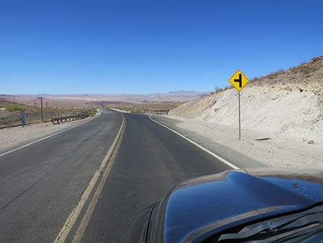
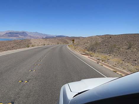
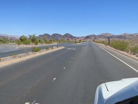
 Lake Mead Parkway (view NE) |
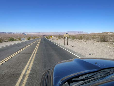
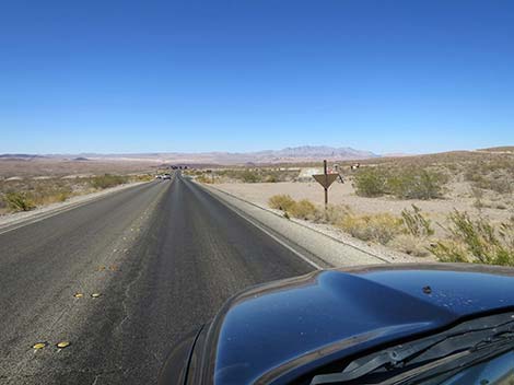
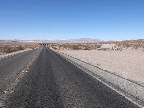
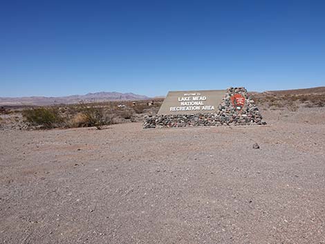
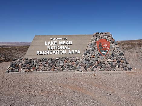
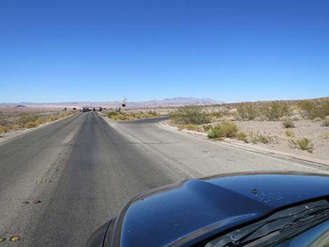
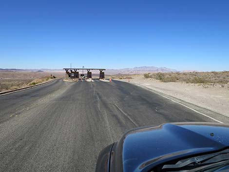
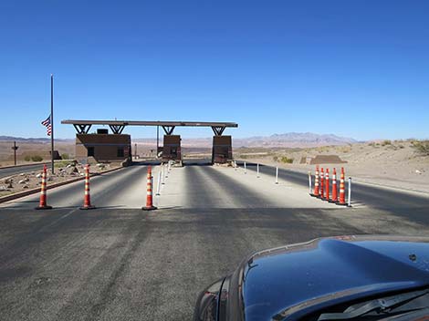
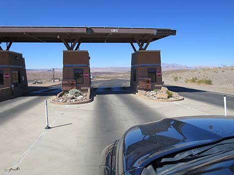
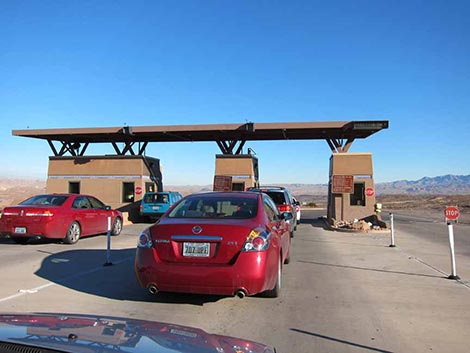
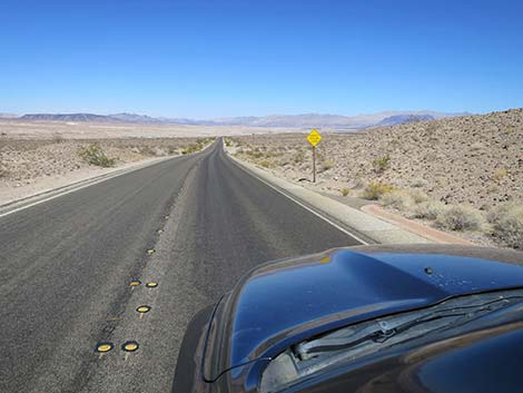
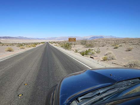
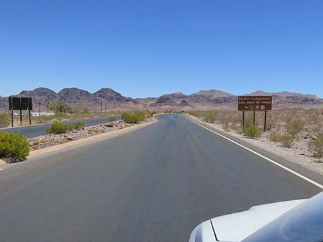
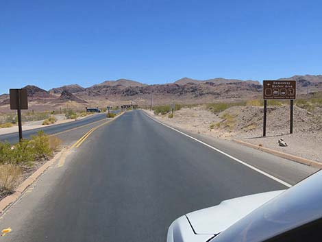
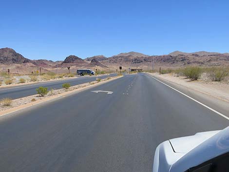
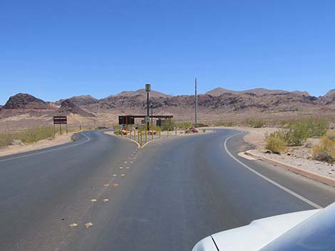
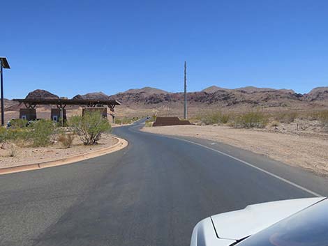
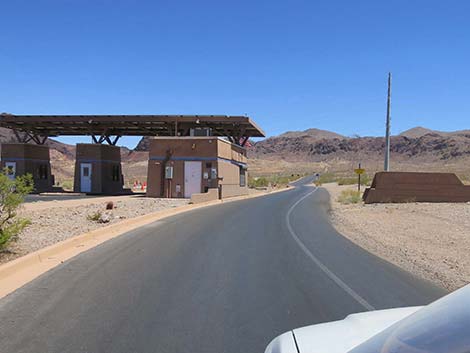
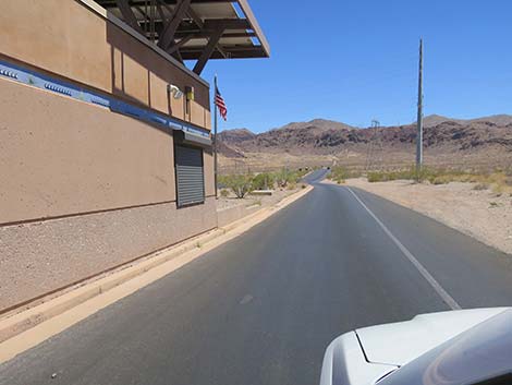
The Road From Lake Mead Parkway eastbound, the highway unceremoniously changes to Lakeshore Road as it enters into Lake Mead National Recreation Area. Just ahead (130 yards out), however, Lakeshore Road passes the official boundary sign, on the right. This is a good place to stop and get an entrance-sign photo to bookend travel log photos. Shortly, at about 0.21 miles out, Lakeshore Road passes a large, paved trailhead parking area (Table 1, Site 1951), on the right. This is trailhead parking for the River Mountains Loop Trail. The trail is open to everyone, but primarily, it is a bicycle trail. Continuing northeast on Lakeshore Road, at about 0.32 miles out, Lakeshore Road arrives at the Lake Vegas Bay Entrance Station (Site 1020). Stop, pay the entrance fee ($25/vehicle in 2022), and continue northeast on Lakeshore Road. |
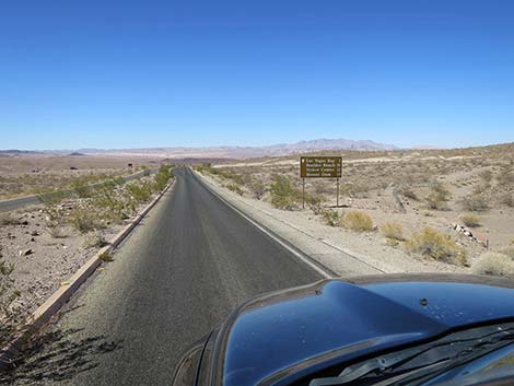
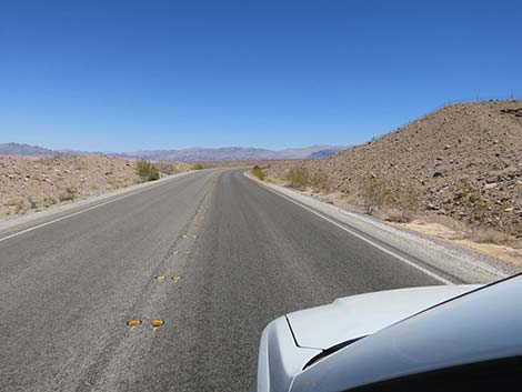
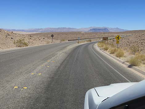
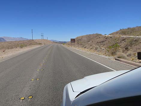
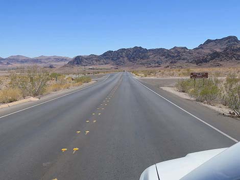
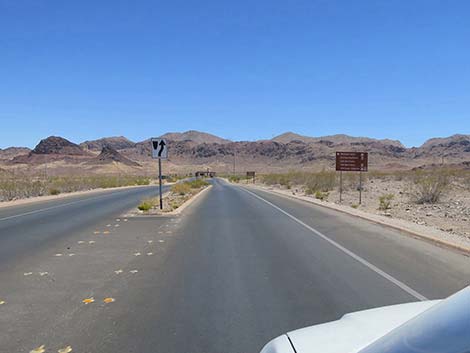
 Lake Mead Parkway approaching actual Lake Mead NRA boundary |
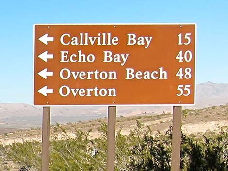
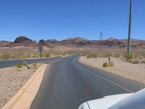
Shortly, Lakeshore Road arrives at a T-intersection with Northshore Road (Site 0654), on the left. Northshore Road runs along the north shore of Lake Mead for about 50 miles out to Overton, providing access to grand scenery, lots of hiking opportunities, picnic areas, and a few backroad adventures. In the old days, there were also several marinas, but with the lake level so low, all have closed. Past Northshore Road, Lakeshore Road enters a very gentle curve to the right with grand views to the north. When the road begins heading southeast, it arrives at a T-intersection with Las Vegas Bay Road (Site 1018), on the left. Las Vegas Bay Road leads to the historical site of the Las Vegas Bay Marina, which is now high and dry. A few yards down the road, visitors pass the old Ranger Station, and arrive at an intersection with Las Vegas Bay Campground Road, on the left. This road runs about 0.8 miles to Las Vegas Bay Campground. The campground used to overlook the Las Vegas Bay arm of Lake Mead, but now it only looks over Las Vegas Wash River, and the lake is a speck of blue far to the east. It remains a nice, quiet campground with grand views out across the desert landscape. |
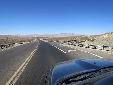
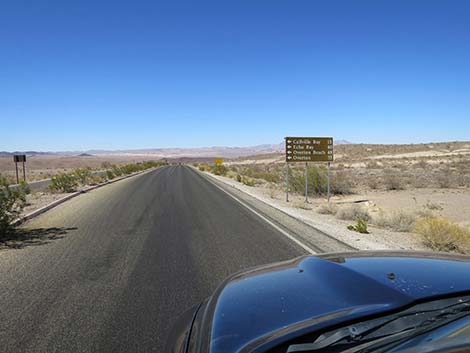
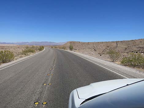
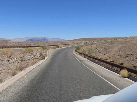
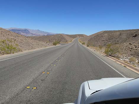
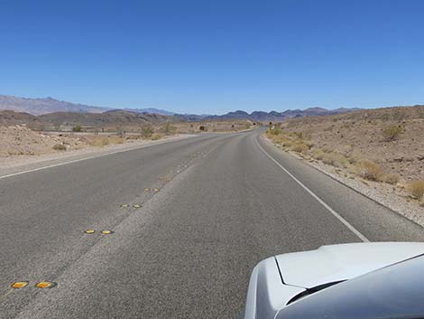
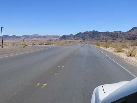
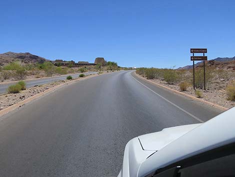
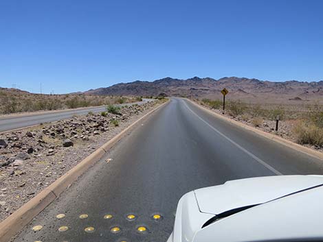
 Lake Mead Parkway changes to Lakeshore Road (view NE) |
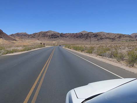
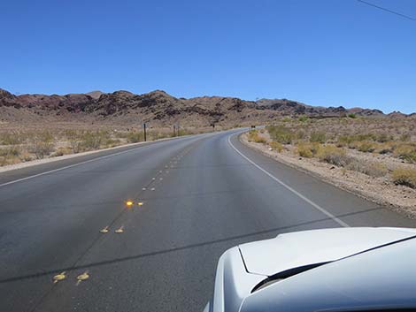
Continuing southeast on Lakeshore Road, the road quickly arrives at a T-intersection with Las Vegas Bay Overlook Road (Site 1388), on the left. this road runs northeast about 0.2 miles to a picnic area that used to overlook Las Vegas Bay and the entire marina area. While still scenic, the overlook does not provide a view of the lake, but the Las Vegas Wash River flows in the canyon below. Continuing generally southeast on Lakeshore Road, the road winds back and forth around hills and through canyons until about 4.2 miles out where it reaches a T-intersection with 33 Hole Road (Site 1017), on the left. 33 Hole Road runs northeast and forks three ways, each leading to a small picnic area on different bluffs. The first fork to the right leads to picnic tables with a view of Lake Mead (at least for now). The first fork to the left leads to picnic tables and the popular White Owl Canyon trailhead. |
 Lakeshore Road approaching Lake Mead entrance sign (view NE) |
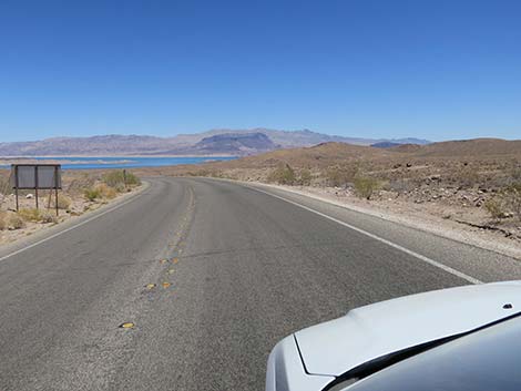
Continuing south on Lakeshore Road, the road soon arrives at yet another T-intersection with Longview Overlook Road (Site 1952), on the left. This road leads to Longview Overlook Picnic Area with views of Lake Mead. This picnic area has, indeed, a "long" view out to Lake Mead. The turn off to Longview is on a curve, so be careful entering and exiting this picnic area. Passing Longview, the road curves to the left and then runs straight down the slope for about 0.5 miles with perhaps the best views of Lake Mead in the area. At the bottom of the slope, the road curves to the right to run more due south. As the road exits the curve, it soon arrives at a T-intersection with Sunset Overlook Road (Site 1953), on the left. This road runs about 0.2 miles to the Sunset Overlook parking area and provides grand views to the east. This is a good place to watch the sunset, but in this case, with your back to the sun looking out over the lake to the mountains in the distance where the evening colors can be spectacular. In the old days, this overlook was right on the edge of the lake. |
 Lake Mead entrance sign parking area (view NE) |
Continuing south on Lakeshore Road, the road curves left, away from the lake to head southwest. The road eventually bends back to the southeast and begins to enter the most developed portion of Lake Mead National Recreation Area. At about 7.02 miles out, Lakeshore Road arrives at an intersection with Fish Hatchery Road (Site 1954). This road leads east into the Lake Mead Fish Hatchery, which is operated by Nevada Division of Wildlife and reopened in early 2022 after a long closure. Shortly past the fish hatchery, Lakeshore Road passes Saddle Cove Road, on the left. This road used to run out to a fishing area, but with water levels continuing to drop, it's not clear how long this will last. Continuing south on Lakeshore Road, visitors begin to see a large industrial complex off to the left. This is the Alfred Merritt Smith Water Treatment Facility, operated by the Southern Nevada Water Authority. Most of the water used in the Las Vegas Urban Area comes through this plant. At about 8.0 miles out, Lakeshore Road arrives at a T-intersection with Alfred Merritt Smith Road (Site 1955), on the left. This facility is not open to the public. |
 Lake Mead entrance sign (view NE) |
Beyond the water facility, Lakeshore Road runs straight, due south, for most of a mile. This is the longest straight section on the road. At the end of the straight section, Lakeshore Road enters the Boulder Beach area. In this area, visitors will find swimming beaches, a campground, and the last marina in the area, which has limited food service. Bending to the left, Lakeshore Road passes Lake Mead Marina Road (Site 1956), on the left. During wetter times, this was a large, active, full-service marina, but now it is just large, empty parking lots and a boat ramp that ends in dry dirt. In 2008, Lake Mead Marina was moved 3 miles south to Hemenway Harbor because of dropping lake levels. Just past the old marina, on the right, Lakeshore Road passes a road (Site 1957) that leads into the National Park Service maintenance yard, fire station, and housing area. This area generally is not open to the public, but in a serious emergency, visitors might seek help here. |
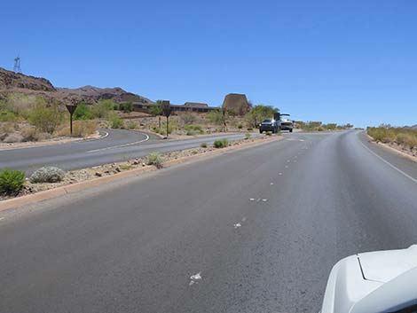
 Approaching River Mountains trailhead parking (view NE) |
A short way farther south, Lakeshore Road reaches a T-intersection with Boulder Beach Road (Site 1958), on the left. This road serves as the northern entrance into the Boulder Beach Swim Area. Historically, this road provided access to Boulder Beach Lodge (pdf), but it closed in 2009 and has long since been bulldozed. Again, a short way farther south (0.5 miles), Lakeshore Road reaches a T-intersection with Boulder Beach Road (Site 1959), on the left. This road serves as the southern entrance into the Boulder Beach Swim Area. This end of the road leads more directly to the Boulder Beach Ranger Station, the Water Safety Center, covered picnic tables, and a long stretch of sandy dirt that leads down to the swim beaches. Paved roads lead out to near the water. Continuing south on Lakeshore Road, the road next intersects with Boulder Beach Campground Road (Site 1960), on the left. This road leads into the developed campground and the trailer village. Trees in both places provide reasonably good birdwatching. |
 Lakeshore Road at River Mountains trailhead turnoff (view NE) |
Continuing south on Lakeshore Road, the road quickly reaches a T-intersection with Brown Tank Road (Site 1415), on the right. This graded dirt road leads 0.5 miles to a brown water tank that marks Brown Tank Trailhead, which serves several hikes up into the River Mountains. Continuing south, Lakeshore Road traverses open desert for about 3/4 miles and provides sweeping views of the lake and surrounding mountains. Ahead on the left, visitors can see the last remaining marina in the area: Hemenway Harbor. There are actually two marinas here: Las Vegas Bay Marina and Lake Mead Marina. Both marinas were moved here when the water was too shallow to support the operations. Lakeshore Road eventually reaches a T-intersection with Hemenway Harbor Road (Site 1961), on the left. This road leads down about 0.6 miles to a T-intersection. Continuing straight across the top of the T leads to the public boat ramp. Turning right at the T takes visitors to the marinas. The road forks again: left to Las Vegas Boat Harbor and right to Lake Mead Marina and the Desert Princess cruise dock. Las Vegas Boat Harbor continues to operate as a full-service marina. |
 Approaching Lake Mead Parkway entrance station (view NE) |
Shortly beyond the intersection with Hemenway Harbor Road, Lakeshore Road reaches the Boulder Beach entrance station (Site 1233). Usually, drivers can pass around the right edge of the facility without stopping, but watch in case a stop sign requires visitors to stop and interact with the staff. The entrance station does not mark the boundary of Lake Mead National Recreation Area; the boundary is about 1 mile ahead. Continuing south on Lakeshore Road, the road begins to climb into the nearby mountains and curves to the right. Near the base of the mountains, Lakeshore Road reaches a T-intersection with Railroad Tunnels Road (Site 1425), on the left. This short road leads into the Railroad Tunnels Trailhead parking area. At the intersection, an official Lake Mead boundary sign invites visitors to stop for an entrance-sign photo. |
 Approaching Lake Mead Parkway entrance station (view NE) |
Now heading west, Lakeshore Road quickly passes yet another intersection, this time a T-intersection with Visitor Center Road (Site 1962), on the left. This short road leads to the Visitor Center where visitors can stop and get information about the area from real people, visit exhibits about the area, and buy books and other items relevant to Lake Mead. Continuing past the Visitor Center, Lakeshore Road curves somewhat sharply to the left and ends at a T-intersection with Boulder City Parkway (Site 0803), 12.6 miles from the start of Lakeshore Road. Boulder City Parkway is the old Highway 93. Drivers turning right towards Boulder City should not stop, as the right turn is protected with a long merging lane. Drivers turning left can continue on the old highway to Hoover Dam or get onto new Highway 93 (Interstate 11) and head southeast into Arizona. |
 Lakeshore Road approaching Lake Mead Parkway Entrance Station |
 Lake Mead Parkway Entrance Station (view NE) |
 Lake Mead Parkway Entrance Station (view NE) |
 Exiting Lake Mead Parkway Entrance Station (view NE) |
 Continuing on Lakeshore Road (view NE) |
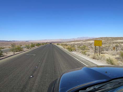
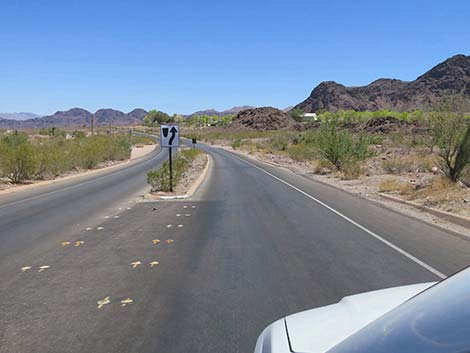
 Lakeshore Road approaching a directional sign (view E) |
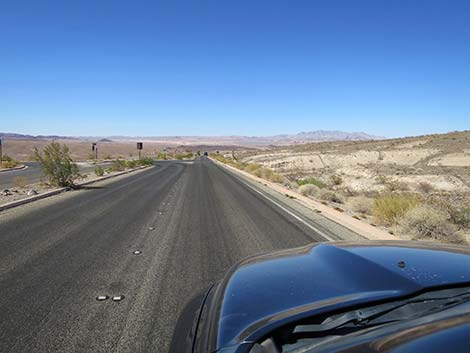
 Lakeshore Road approaching another directional sign (view E) |
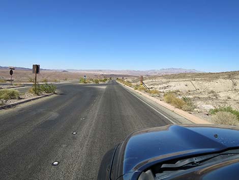
 Directional sign for Northshore Road (view NE) |
 Sign: fire danger (view NE) |
 Lakeshore Road approaching Northshore Road (view NE) |
 Lakeshore Road at Northshore Road (view NE) |
 Lakeshore Road approaching Northshore Road (view NE) |
 Northshore Road (view NW from Lakeshore Road) |
 Lakeshore Road continuing past Northshore Road (view NE) |
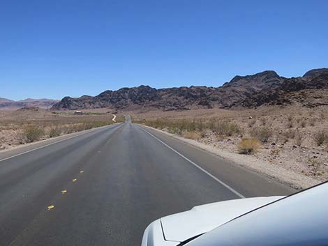
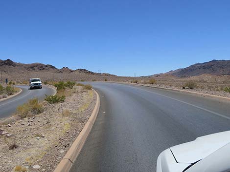
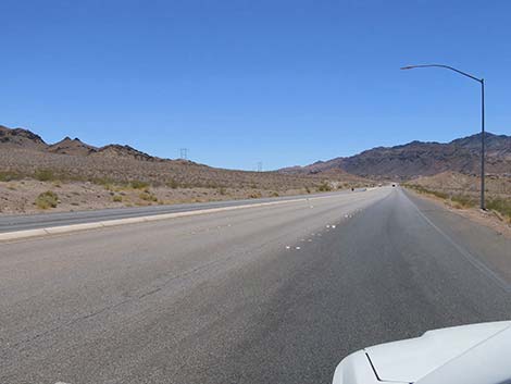
 Most of Lakeshore Road is posted at 50 mph (view NE) |
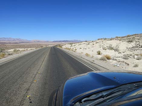
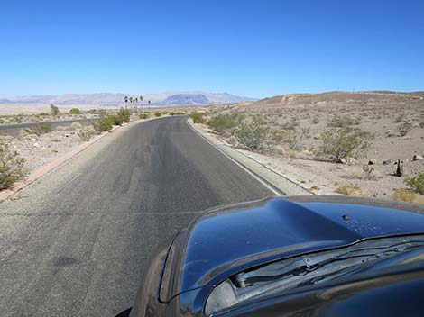
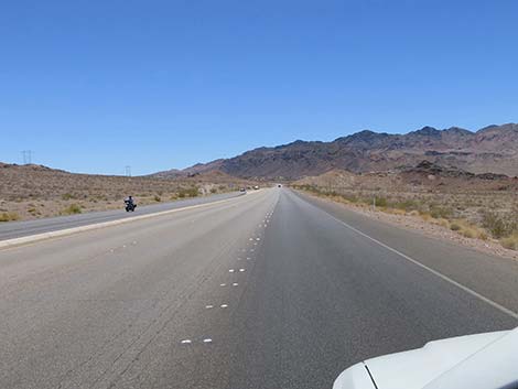
 Lakeshore Road with grand scenery (view NE) |
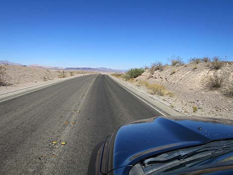
 Lakeshore Road with grand scenery (view NE) |
 Lakeshore Road cresting a low rise (view NE) |
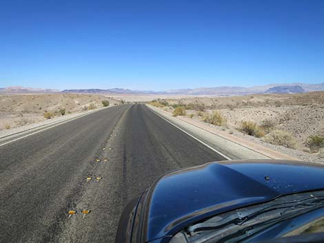 Lakeshore Road with grand scenery (view E) |
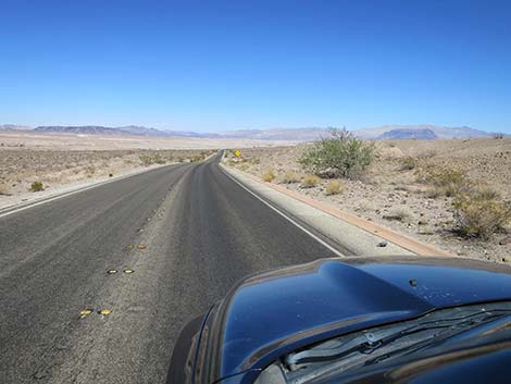 Lakeshore Road with grand scenery (view E) |
 Lakeshore Road at a caution sign: subject to flash flood (view E) |
 Lakeshore Road approaching a directional sign (view E) |
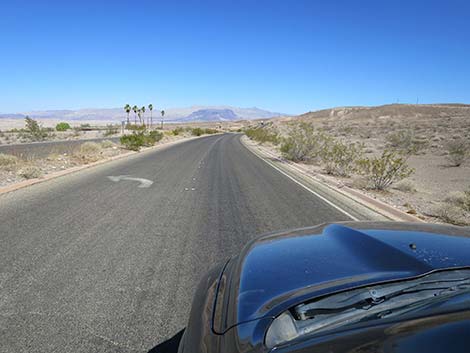
 Lakeshore Road with grand scenery (view SE) |
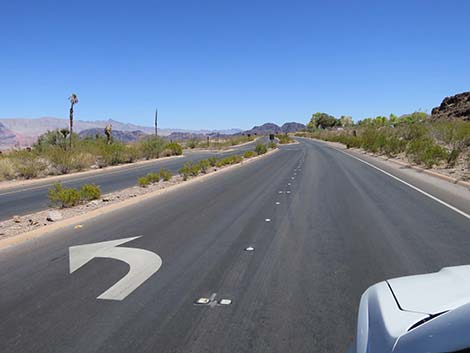
 Caution sign: left turn ahead (view SE) |
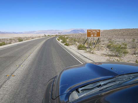 Lakeshore Road approaching Las Vegas Bay (view SE) |
 Vegas Bay palm trees in the distance (view SE) |
 Lakeshore Road approaching turnoff to Las Vegas Bay (view SE) |
 Lakeshore Road at turnoff to Las Vegas Bay (view SE) |
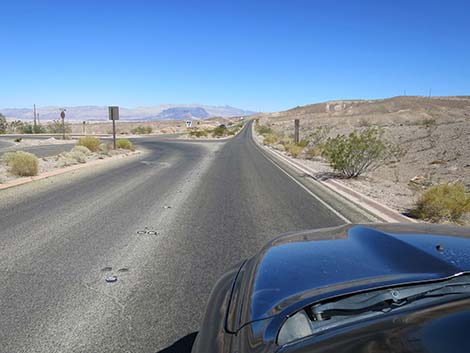
 Lakeshore Road approaching directional sign (view SE) |
 Lakeshore Road at Las Vegas Wash Overlook Road (view SE) |
 Lakeshore Road winds through canyons and around ridges (view SE) |
 Lakeshore Road winds through canyons and around ridges (view SE) |
 Lakeshore Road winds through canyons and around ridges (view SE) |
 Lakeshore Road winds through canyons and around ridges (view SE) |
 Lakeshore Road approaching directional sign (view SE) |
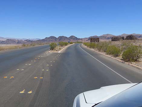
 Lakeshore Road approaching intersection (view SE) |
 Lakeshore Road approaching 33 Hole Road (view S) |
 Lakeshore Road at 33 Hole Road (view S) |
 Lakeshore Road climbing a hill beyond 33 Hole Road (view S) |
 Passing lane ends atop hill (view SW) |
 Lakeshore Road approaching Longview Road (view S) |
 Lakeshore Road at Longview Road (view SE) |
 Lakeshore Road approaching straight road with grand views (view SE) |
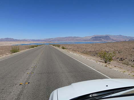 Straight road with grand views (view E) |
 Straight road with grand views (view E) |
 Straight road ending (view SE) |
 Lakeshore Road approaching Sunset Overlook Road (view SE) |
 Lakeshore Road at Sunset Overlook Road (view SE) |
 Lakeshore Road (view SE) |
 Lakeshore Road with River Mountains Loop Trail on the right (view S) |
 Lakeshore Road approaching the Fish Hatchery (view SE) |
 Lakeshore Road at Fish Hatchery Road (view SE) |
 Lakeshore Road at Saddle Cove Road (view SE) |
 Lakeshore Road descending into the Boulder Beach Area (view S) |
 Lakeshore Road approaching Water Treatment Facility (view S) |
 Lakeshore Road at Water Facility Road (view S) |
 Lakeshore Road descending into the Boulder Beach Area (view S) |
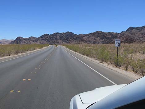 Speed limit drops to 45 mph (view S) |
 Lakeshore Road approaching Lake Mead Marina area (view S) |
 Green trees in the distance: NPS housing and facilities area |
 Lakeshore Road continuing into the Boulder Beach Area (view SE) |
 Lakeshore Road at Lake Mead Marina Road (view SE) |
 Lakeshore Road continuing into the Boulder Beach Area (view SE) |
 Lakeshore Road approaching directional sign (view SE) |
 Lakeshore Road approaching Boulder Beach Road (north entrance) |
 Lakeshore Road approaching directional sign (view SE) |
 Lakeshore Road approaching Boulder Beach Road (south entrance) |
 Lakeshore approaching Boulder Beach Campground Road (view SE) |
 Lakeshore Road at Boulder Beach Campground Road (view SE) |
 Lakeshore Road continuing across desert flats (view SE) |
 Lakeshore Road approaching directional sign (view SE) |
 Lakeshore approaching Hemenway Harbor directional sign (view SE) |
 Lakeshore Road approaching Hemenway Harbor Road (view SE) |
 Lakeshore Rd approaching Boulder Beach entrance station (view SE) |
 Lakeshore Road bypassing Boulder Beach entrance station (view SE) |
 Lakeshore Road bypassing Boulder Beach entrance station (view SE) |
 Lakeshore Road bypassing Boulder Beach entrance station (view SE) |
 Lakeshore Road past Boulder Beach entrance station (view SE) |
 Lakeshore Road begins climbing towards the mountains (view SE) |
 Lakeshore Road climbing towards the mountains (view S) |
 Lakeshore Road approaching directional sign (view SW) |
 Lakeshore Road at Railroad Tunnels Road (view SW) |
 Lakeshore Road approaching directional sign (view SW) |
 Lakeshore Road at Visitor Center Road (view SW) |
 Lakeshore Road continuing past the Visitor Center (view W) |
 Lakeshore Road bending around the last curve (view SW) |
 Lakeshore Road approaching Boulder Beach Parkway (view S) |
 Lakeshore Road at Boulder Beach Parkway (view S) |
 Lakeshore Road merging onto Boulder Beach Parkway (view SW) |
 Lakeshore Road merging onto Boulder Beach Parkway (view W) |
Table 1. Highway Coordinates Based on GPS Data (NAD27; UTM Zone 11S). Download Roadway GPS Waypoints (*.gpx) file.
| Wpt. | Location | Latitude (N) | Longitude (W) | Elevation (ft) | Point-to-Point Distance (mi) | Cumulative Distance (mi) |
|---|---|---|---|---|---|---|
| 1951 | Lakeshore Rd at Riv Mtn Trailhead | 36.10373 | 114.90104 | 1,609 | 0.20 | 00.20 |
| 1020 | Lake Mead Parkway Entrance Stn | 36.10538 | 114.90033 | 1,602 | 0.12 | 00.32 |
| 0654 | Lakeshore Rd at Northshore Rd | 36.10987 | 114.89864 | 1,545 | 0.33 | 00.65 |
| 1018 | Lakeshore Rd at Las Vegas Wash Rd | 36.11799 | 114.87083 | 1,319 | 1.82 | 02.47 |
| 1388 | Lakeshore Rd at LV Overlook Rd | 36.11558 | 114.86639 | 1,297 | 0.30 | 02.77 |
| 1017 | Lakeshore Rd at 33 Hole Rd | 36.10622 | 114.84482 | 1,316 | 1.44 | 04.21 |
| 1952 | Lakeshore Rd at Longview Road | 36.09836 | 114.84323 | 1,464 | 0.56 | 04.77 |
| 1953 | Lakeshore Rd at Sunset View Road | 36.09552 | 114.82680 | 1,295 | 1.02 | 05.79 |
| 1954 | Lakeshore Rd at Fish Hatchery Road | 36.07957 | 114.82321 | 1,402 | 1.23 | 07.02 |
| 1955 | Lakeshore Rd at Saddle Cove Road | 36.06646 | 114.81911 | 1,327 | 0.97 | 07.99 |
| 1956 | Lakeshore Rd at Boulder Marina Road | 36.04733 | 114.81549 | 1,265 | 1.37 | 09.36 |
| 1957 | Lakeshore Rd at NPS Housing Road | 36.04636 | 114.81427 | 1,275 | 0.09 | 09.45 |
| 1958 | Lakeshore Rd at Boulder Beach North | 36.04247 | 114.80868 | 1,300 | 0.42 | 09.87 |
| 1959 | Lakeshore Rd at Boulder Beach South | 36.03694 | 114.80423 | 1,330 | 0.45 | 10.32 |
| 1960 | Lakeshore Rd at Campground Road | 36.03440 | 114.80232 | 1,347 | 0.21 | 10.53 |
| 1415 | Lakeshore Rd at Water Tank Rd | 36.03304 | 114.80163 | 1,314 | 0.10 | 10.63 |
| 1961 | Lakeshore Rd at Hemenway Harbor Rd | 36.02297 | 114.79634 | 1,419 | 0.76 | 11.39 |
| 1233 | Lakeshore Rd at Boulder Entrance | 36.02072 | 114.79518 | 1,440 | 0.17 | 11.56 |
| 1425 | Lakeshore Rd at Historic RR Trail | 36.01216 | 114.79352 | 1,520 | 0.62 | 12.18 |
| 1962 | Lakeshore Rd at Visitor Center Rd | 36.01089 | 114.79525 | 1,612 | 0.14 | 12.32 |
| 0803 | Lakeshore Rd at Hwy 93 | 36.00900 | 114.79903 | 1,700 | 0.28 | 12.60 |
Happy Hiking! All distances, elevations, and other facts are approximate.
![]() ; Last updated 240326
; Last updated 240326
| Backroads Around Lake Mead | Hiking Around Las Vegas | Glossary | Copyright, Conditions, Disclaimer | Home |