Hiking Around Las Vegas, Mojave National Preserve
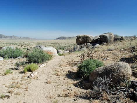
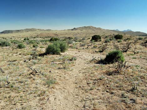
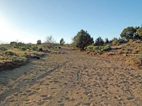
 Trailhead parking (view SE) |
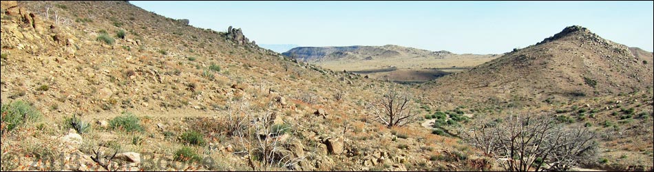
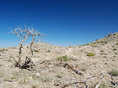
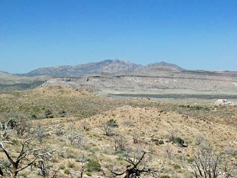
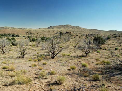
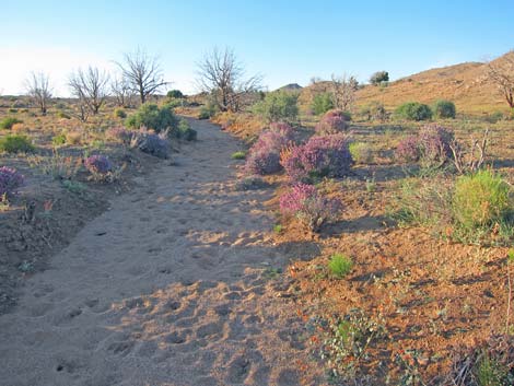
Overview The Mid Hills Loop provides a 3.4-mile hike through high-elevation desert near Mid Hills Campground. The trail uses the Mid Hills to Hole-in-the-Wall (MH-HITW) Trail to climb over hills with grand views over the surrounding landscape. After descending the other side of the hills, the hike loops back towards the trailhead. Here, the main route follows sandy washes, which can be bypassed on firmer ground, to an old watering trough. At the trough, hikers can choose to follow a faint trail through the desert or follow a dirt road back to the trailhead. For late or tired hikers, the road is easier, although it requires climbing over at least one gate. This area burned in the 2005 Hackberry Fire, and while most of the trees are gone, the shrubs and wildflowers are growing back nicely. Link to map. |
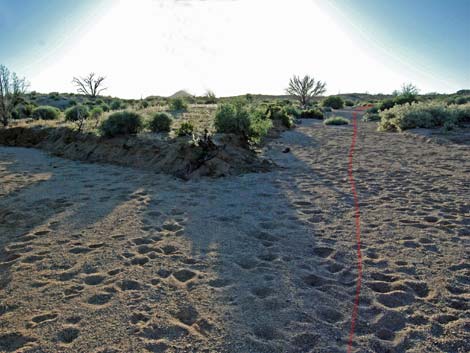
 Trailhead parking (view E) |
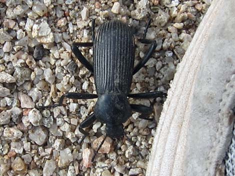
Watch Out Other than the standard warnings about hiking in the desert, ... this trail is about as safe as it gets with no particular hazards other than a few ornery cows, which should be given sufficient distance. If returning on the dirt road, hikers need to climb over at least one gate. The hike uses a combination of trails, routes, and dirt roads. The hike is mostly well marked, but even so, the loop requires paying attention and some minimal route-finding skills. The Park Service says that fair numbers of people get lost in this area. While hiking, please respect the land and the other people out there, and try to Leave No Trace of your passage. Also, even though this hike is short, be sure to bring what you need of the 10 Essentials. |
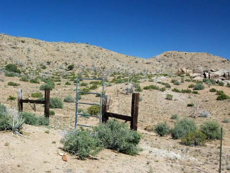
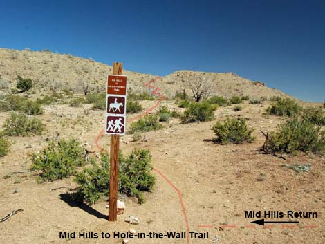
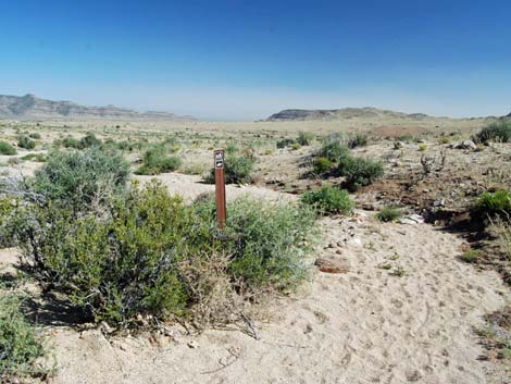
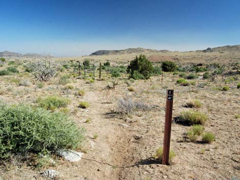
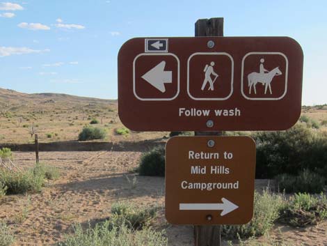
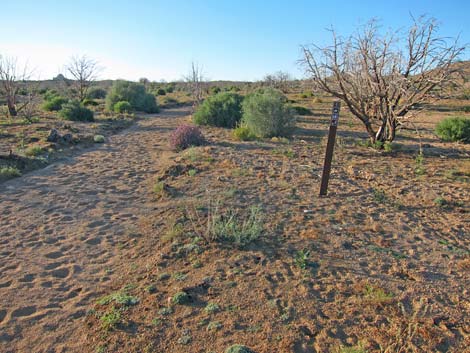
 Trailhead information sign (view SE) |
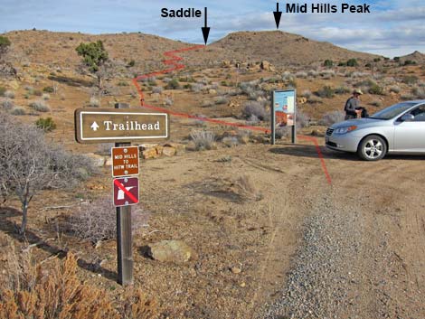
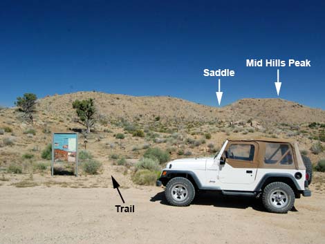
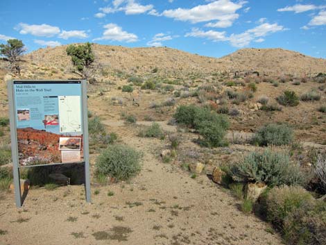
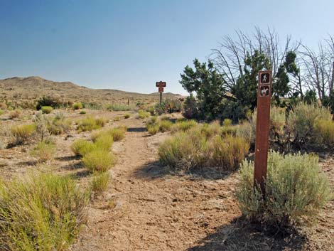
Getting to the Trailhead This hike is located in Mojave National Preserve, about 2 hours south of Las Vegas. From town, drive out to Mojave National Preserve and then towards the Hole-in-the-Wall Visitor Center. On Black Canyon Road (Site 0833), drive south from Cedar Canyon Road for 2.8 miles to Wild Horse Road (Site 0834; signs to Mid Hills Campground). Turn right onto Wild Horse Road and drive west 2.0 miles to Mid Hills Campground Road (Site 0835). At the campground road, turn left into the trailhead parking area (Site 1444) (not right towards the campground). Park here, this is the trailhead. |
 Box with trail brochures (view SE; usually full) |
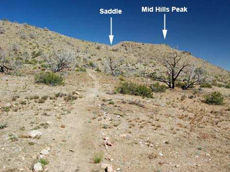
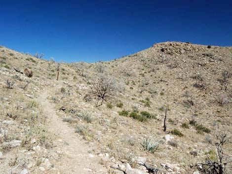
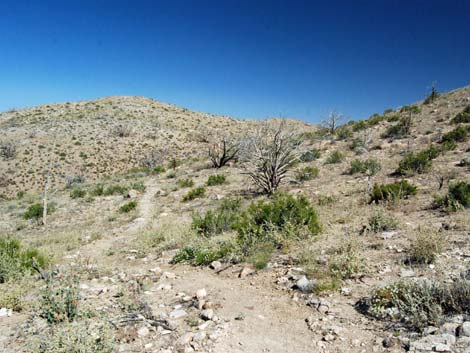
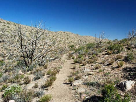
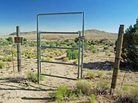
The Hike From the trailhead (Table 2; Waypoint 01), the MH-HITW Trail runs past signs to the southeast aiming for a saddle on the horizon just north of the highest peak on the near ridge. After passing a gate (Wpt. 02; be sure to close and latch the gate), the trail ascends gentle sideslopes to a 4x4 post with signs (Wpt. 03). Although not obvious, this is a T-intersection where the loop trail ends from the right. Unfortunately, cows use this trail too, and their trail continues across the main trail to the left, making the entire intersection look like a cow trail crossing the main trail. Beyond the 4x4 post with signs, the trail continues up the sideslopes until turning to the left and climbing more steeply up the side of the mountain. The trail makes two switchbacks, then continues fairly steeply up the hillside. |
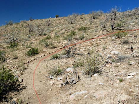
 Trail runs through gate (view SE) |
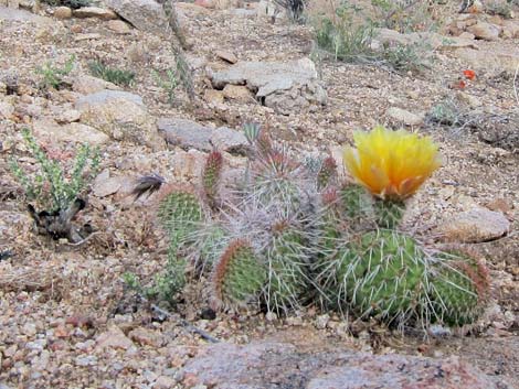
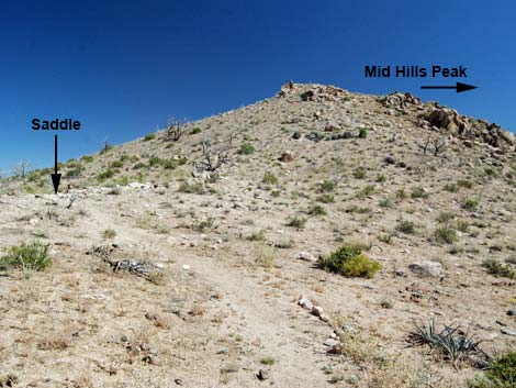
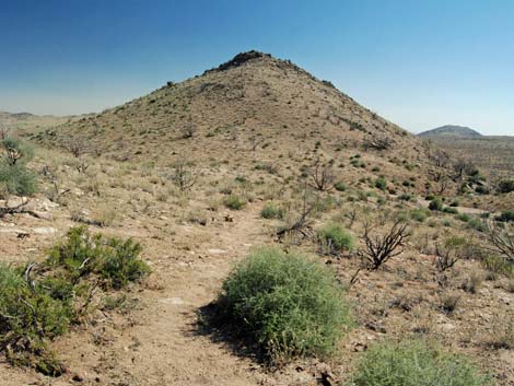
This hillside burned severely, but many species are coming back; even a few conifers survived the fire. Common species growing back include Grizzlybear Pricklypear Cactus, Engelmann's Hedgehog Cactus, Mojave Kingcup Cactus, Buckhorn Cholla. Desert Globemallow, Narrowleaf Goldenbush, Cliffrose, Banana Yucca, Turpentinebroom, and lots of desert wildflowers. The grade eventually lessens as the trail climbs onto a saddle (Wpt. 04). Views from the saddle are surprisingly long. To the east, the New York Mountain and mountains into Arizona can be seen; and to the west, the views stretch to mountain ranges beyond the horizon. For even grander views, consider climbing the remaining 150-vertical-feet to Mid Hills Peak, the summit south of the trail. |
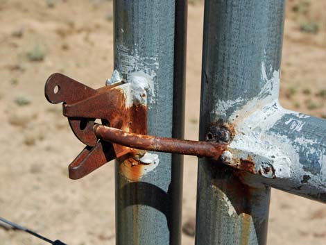 Latch on gate (be sure to close gate) |
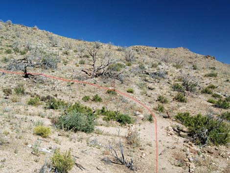
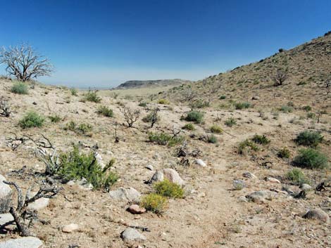
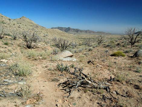
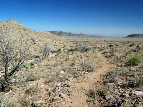
Beyond the saddle (Wpt. 04), the trail descends modestly to the southeast, then more or less contours around the summit to the east side of the peak and onto the next saddle (Wpt. 05). The trail crosses over this second saddle (Wpt. 05) and descends into the canyon to the south. The trail descends a moderate grade contouring down and across the hillside, but staying high above the wash. When the canyon curves right, the trail turns left and runs over yet another low saddle (Wpt. 06). Crossing this saddle, the trail descends into another canyon angling southeast. The trail starts down the east side of the wash, then cuts across the wash and continues down the west side, more steeply than before. The trail eventually descends through a large boulder pile, drops into, and crosses the sandy wash below (Wpt. 07). |
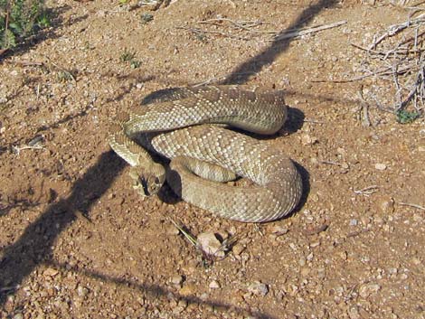 Watch for slithery friends along the trail |
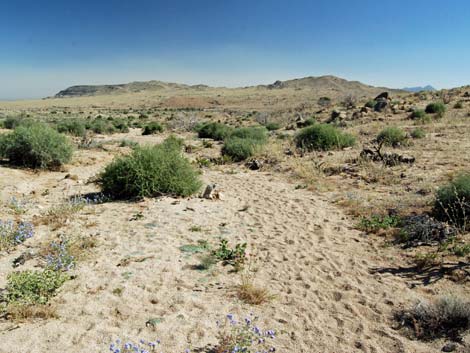
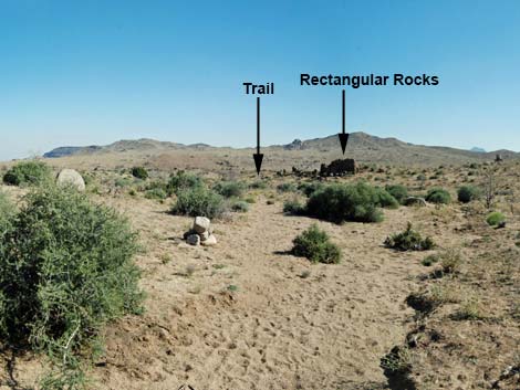
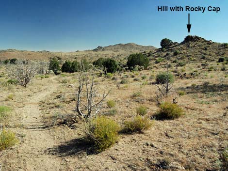
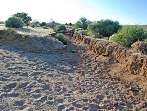
The wash in this area is more of a flood plain. The wash area is broad and sandy, and the trail has been obscured by flashfloods. The trail, however, is well marked with cairns and carsonite signs. Descending the wash, sometimes on a trail and sometimes in the sand, the trail eventually arrives at a gate (Wpt. 08) in a barbed-wire fence. Following trails and trail markers, the trail eventually climbs out of the wash and runs along the east side of a ridge of rectangular rocks (which make a good landmark in this area of shifting sand). Leaving the wash, the nature of the trail changes from walking in washes to crossing a rolling landscape where the trail is well marked and easy to follow. The trail runs over a low highpoint (Wpt. 09), then descends to wrap around the base of a hill capped with a rocky knob. A lightly used dirt road runs east-west on the south side of the hill, and when the trail hits the road (Wpt. 10), a trail sign is visible a few steps down the road to the west. |
 |
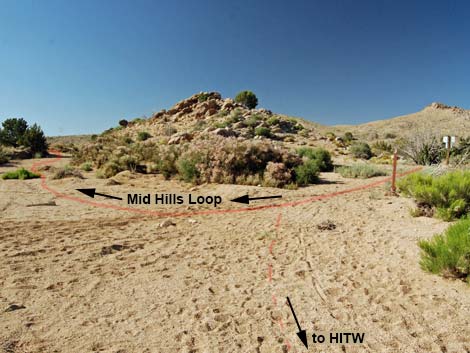
The sign is mostly visual, but a bit cryptic. The arrow pointing south (left) and the words "follow wash" imply hiking southbound on the MH-HITW Trail. The arrow north (right) and "return to Mid Hills Campground" is more clear: this is the continuation of the Mid Hills Loop Trail. Walking a few more steps past the sign (west on the dirt road), the road enters a broad, sandy wash (Wpt. 11). Here the MH-HITW Trail turns left to go downstream, the road continues straight across the wash, and the Mid Hills Loop Trail turns right to run upstream in the sand. Heading upstream, the loop wraps around the west side of the hill capped with the rocky knob. Shortly, the wash forks (Wpt. 12). The main branch of the wash turns left, but without any signs until getting well past the fork. |
 |
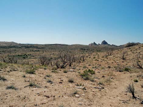
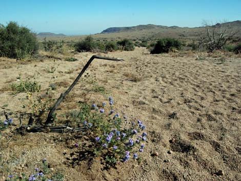
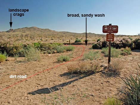
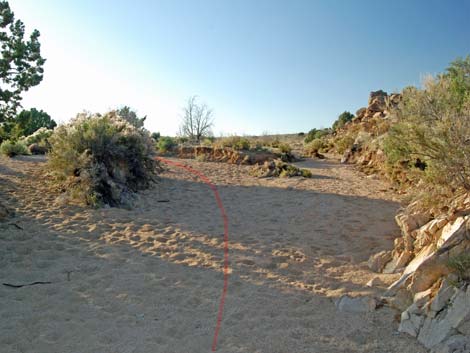
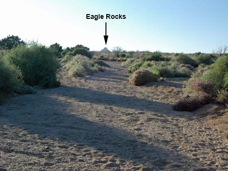
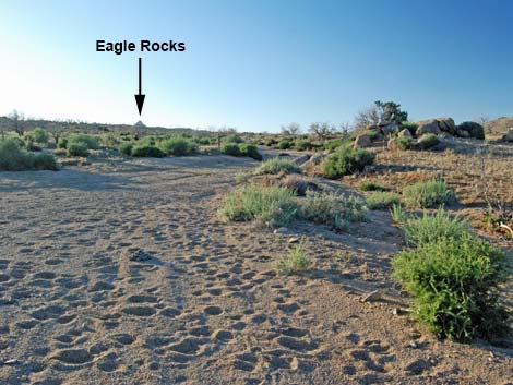
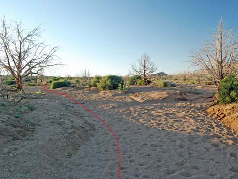
Here (Wpt. 12), hikers have the first of several route choices: (1) follow the main wash with carsonite signs, or (2) walk overland on firmer ground without any trail markers. Staying in the soft sand, the walking is harder, but the route is marked. Hiking overland is unmarked. In this vast and open, burned-over land, hikers are free to leave the soft sand in the wash and hike on firmer ground. The overland route runs generally northwest, angling towards Eagle Rocks, the granitic dome cropping out on the horizon. If following this route, set the GPS to "go to" Wpt. 12. Staying on the main trail in the wash, the sandy track runs generally northwest, more-or-less angling towards Eagle Rocks. Again, hikers are free to leave the soft sand for firmer ground to the right -- the track of the old road lies to the right of the wash. |
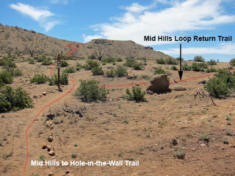
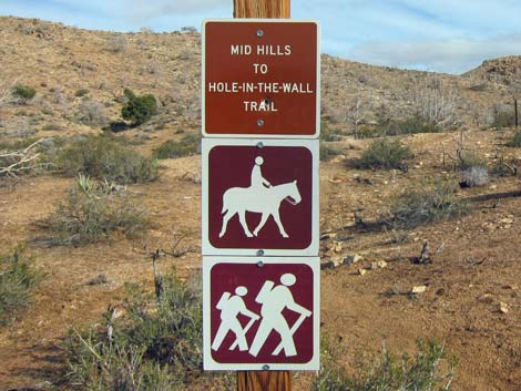 Mid Hills to Hole-in-the-Wall Trail sign (view SE) |
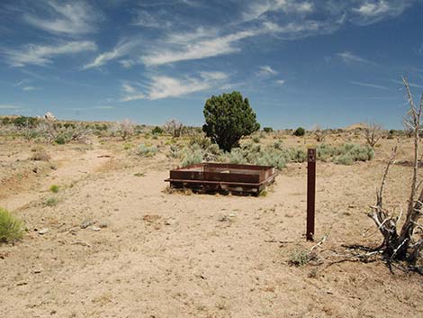
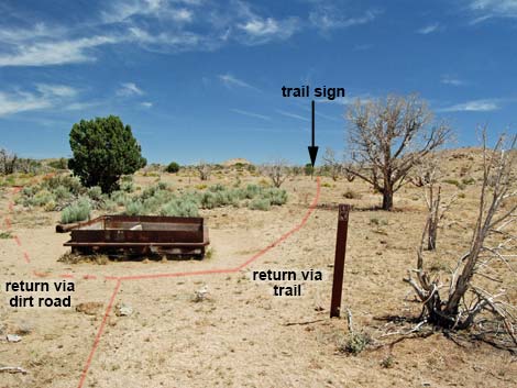
Continuing up the wash or walking overland, the route eventually becomes a well-defined and signed trail (Wpt. 12), and in this area, the trail bends a bit to the east, which feels more like it is going in the right direction because to this point, the route seemed to be going to far to the left. The marked trail parallels a sandy ditch, which is the washed out old road, and eventually arrives at a square, metal watering trough (Wpt. 13). Beyond the watering trough, hikers again have a choice of ways to finish the loop: (1) follow sparse carsonite markers and a few cairns along a faint official trail, or (2) follow a dirt road. For hikers tired or returning late, I recommend following the dirt road because the official trail is hard to follow. Link to description and photos of the (1) Official Trail or (2) Dirt Road. |
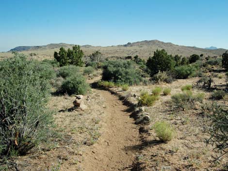
 Trail climbs gentle bajada (view SW) |
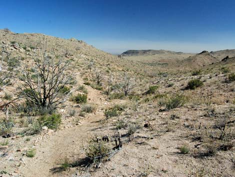
 Trail climbs into switchbacks (view SE) |
 Trail switchbacks (view NE) |
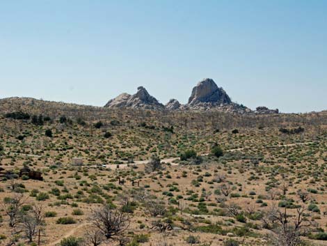 Scenery: Eagle Rocks above trailhead (view NW) |
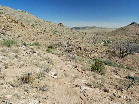
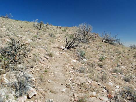 Trail climbs steeply past switchbacks (view SE) |
 Mid Hills Peak |
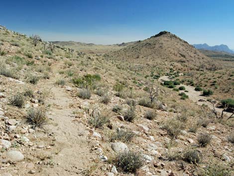
 Trail climbs towards saddle (view SE) |
 Trail ornament (Grizzlybear Pricklypear Cactus) |
 Approaching saddle (view SE) |
 Saddle: hikers might consider climbing Mid Hills Peak (view S) |
 |
 |
 Trail contours towards lower saddle (view SE) |
 Trail contours to lower saddle (view SE) |
 |
 |
 Trail contours across hillside high above wash (view SE) |
 Trail contours across hillside high above wash (view SE) |
 Trail contours across hillside high above wash (view SE) |
 Approaching the third saddle (view SE) |
 Crossing the third saddle (view SE) |
 Descending towards wash below (view SE) |
 Trail passes through boulders (view SE) |
 Trail continues down across the slope (view SE) Trail continues down across the slope (view SE) |
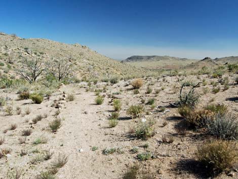
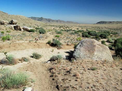
 Trail enters broad, sandy area (view SE) |
 Cairn trail marker along wash (view SE) |
 Carsonite trail marker along wash (view SE) |
 Don't step on little people! |
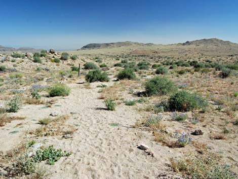
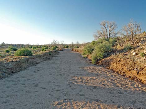
 Trail follows sandy wash (view S) |
 Flowers and burned sticks along the wash |
 Trail out of sandy wash (view S) |
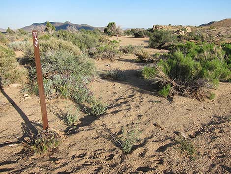
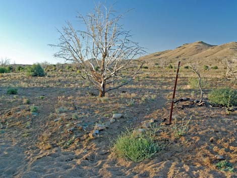
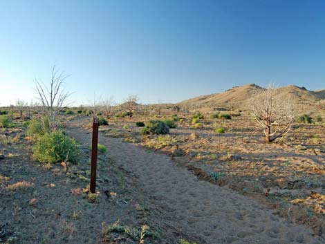
 Marker along trail (view S) |
 Gate and barbed-wire fence (view S) |
 Trail in area where trees and shrubs survived fire (view S) |
 Trail runs east of rectangular rocks (view S) |
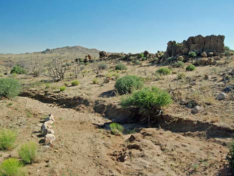 Trail leaves wash on east side of rectangular rocks (view S) |
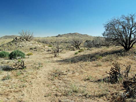 Crossing rolling landscape (view S) |
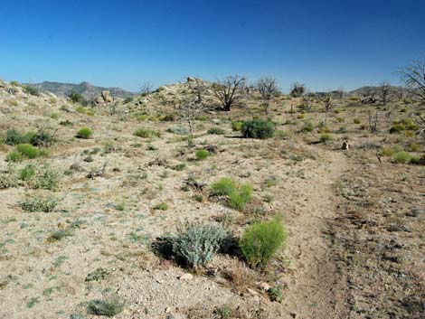 Crossing rolling landscape (view S) |
 Crossing rolling landscape (view S) |
 Trail approaching hill capped with rocky knob (view S) |
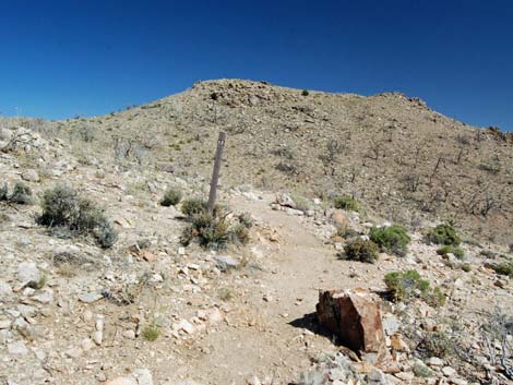
 Trail signs at dirt road (view W) |
 Trail sign along dirt road (view W) |
 Trail sign (view W) |
 Wash towards Hole-in-the-Wall (view S) |
 Loop wraps around hill (view NW) |
 Wash on west side of hill (view NW) |
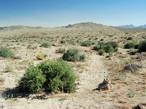
 Wash forks left adjacent to hill capped with rocky knob (view N) |
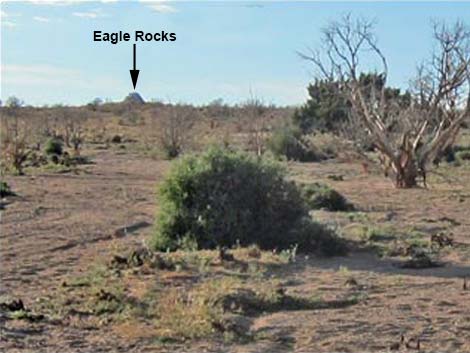 If right into side wash, hike towards Eagle Rocks (view NW) |
 Old, washed-out road drops into wash (view NW) |
 Main route follows main wash (view NW) |
 Route follows main wash (view NW) |
 Wash appears to fork; stay right (view NW) |
 |
 |
 Wash appears to run in a ditch (view NW) |
 Wash forks; carsonite markers stay left (view NW) |
 Trail exits wash at carsonite marker |
 Trail marker along historic road (view NW) |
 Trail marker along historic road (view NW) |
 Lots of flowers along historic road (view NW) |
 Trail approaching watering trough (view N) |
 Watering trough (view N) |
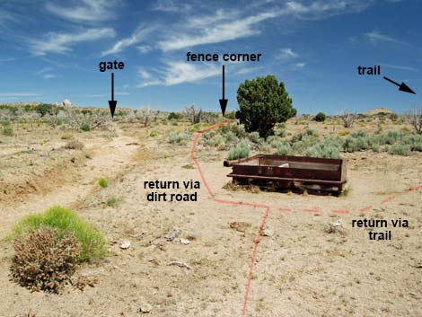 From the watering trough, return via a dirt road (view NW) ... |
 ... or return via the official trail (view N) |
Table 1. Highway Coordinates Based on GPS Data (NAD27; UTM Zone 11S). Download Highway GPS Waypoints (*.gpx) file.
| Site | Location | UTM Easting | UTM Northing | Latitude (N) | Longitude (W) | Elevation (ft) | Verified |
|---|---|---|---|---|---|---|---|
| 0833 | Cedar Cyn Rd at Black Cyn Rd | 644718 | 3893322 | 35.17422 | 115.41081 | 5,007 | Yes |
| 0834 | Black Cyn Rd at Mid Hills Rd | 645618 | 3889147 | 35.13646 | 115.40166 | 5,282 | Yes |
| 0835 | Wild Horse Rd at MH Camp Rd | 642866 | 3887646 | 35.12332 | 115.43212 | 5,522 | Yes |
| 1444 | Mid Hills Trailhead | 642879 | 3887616 | 35.12305 | 115.43198 | 5,493 | Yes |
Table 2. Hiking Coordinates Based on GPS Data (NAD27; UTM Zone 11S). Download Hiking GPS Waypoints (*.gpx) file.
| Wpt. | Location | UTM Easting | UTM Northing | Elevation (ft) | Point-to-Point Distance (mi) | Cumulative Distance (mi) | Verified |
|---|---|---|---|---|---|---|---|
| 01 | Trailhead | 642891 | 3887627 | 5,493 | 0.00 | 0.00 | GPS |
| 02 | Gate | 642961 | 3887602 | 5,495 | 0.05 | 0.05 | GPS |
| 03 | Trail Junction | 643068 | 3887571 | 5,521 | 0.07 | 0.12 | GPS |
| 04 | High Saddle | 643407 | 3887395 | 5,646 | 0.29 | 0.41 | GPS |
| 05 | Middle Saddle | 643500 | 3887318 | 5,636 | 0.08 | 0.49 | GPS |
| 06 | Low Saddle | 643534 | 3886888 | 5,510 | 0.30 | 0.79 | GPS |
| 07 | Trail Enters Wash | 643628 | 3886744 | 5,443 | 0.12 | 0.91 | GPS |
| 08 | Gate | 643741 | 3886312 | 5,319 | 0.30 | 1.21 | GPS |
| 09 | Highpoint in Rolling Terrain | 643695 | 3885743 | 5,244 | 0.38 | 1.59 | GPS |
| 10 | Trail Hits Dirt Road | 643644 | 3885492 | 5,199 | 0.17 | 1.76 | GPS |
| 11 | Dirt Road at Wash | 643628 | 3885475 | 5,199 | 0.02 | 1.78 | GPS |
| 12 | Wash Forks | 643598 | 3885544 | 5,212 | 0.05 | 1.83 | GPS |
| 13 | Wash Forks | 643156 | 3885827 | 5,294 | 0.36 | 2.19 | GPS |
| 14 | Wash Forks | 642949 | 3886210 | 5,339 | 0.29 | 2.48 | GPS |
| 15 | Trail Sign along Old Road | 642921 | 3886366 | 5,345 | 0.11 | 2.59 | GPS |
| 16 | Watering Trough | 642841 | 3886752 | 5,391 | 0.25 | 2.84 | GPS |
| 17 | Patch of Sagebrush | 642893 | 3886994 | 5,443 | 0.16 | 3.00 | GPS |
| 18 | Trail Crosses Wash | 642995 | 3887426 | 5,503 | 0.29 | 3.29 | GPS |
| 03 | Trail Junction | 643068 | 3887571 | 5,521 | 0.11 | 3.40 | GPS |
| 02 | Gate | 642961 | 3887602 | 5,495 | 0.07 | 3.47 | GPS |
| 01 | Trailhead | 642891 | 3887627 | 5,493 | 0.05 | 3.52 | GPS |
| . | . | . | . | . | . | . | . |
| 16 | Watering Trough | 642841 | 3886752 | 5,391 | 0.00 | 2.84 | GPS |
| 17A | Dirt Road | 642786 | 3886935 | 5,408 | 0.13 | 2.97 | GPS |
| 18A | Locked Gate | 642872 | 3887574 | 5,488 | 0.42 | 3.39 | GPS |
| 01 | Trailhead | 642891 | 3887627 | 5,493 | 0.02 | 3.41 | GPS |
Happy Hiking! All distances, elevations, and other facts are approximate.
![]() ; Last updated 210802
; Last updated 210802
| Hiking Around Mojave Preserve | Hiking Around Las Vegas | Glossary | Copyright, Conditions, Disclaimer | Home |