Hiking Around Las Vegas, Mojave National Preserve
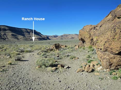
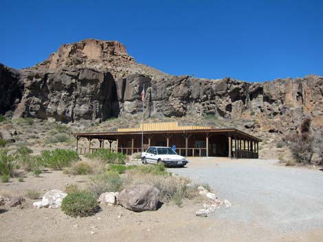
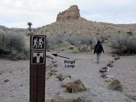
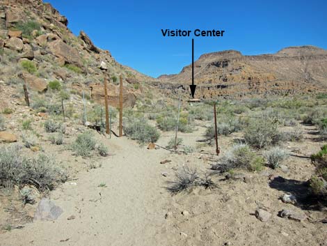
 Rings Loop Trailhead at Visitor Center (view SE) |
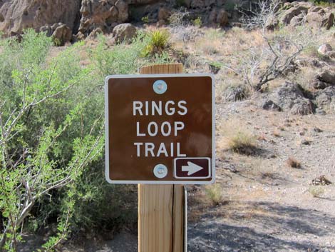
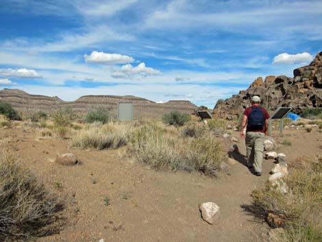
Overview This easy, 1.5-mile loop trail starts at the Visitor Center and circumnavigates Banshee Peak. The trail wanders east and south down a sandy wash, heads west around the south side of Banshee Peak, turns back to the north, climbs up through the Hole-in-the-Wall cleft (Banshee Canyon) using the ringbolts (Rings Trail), and then follows the road for 0.2 miles back to the Visitor Center. There are some interesting petroglyphs along the trail in the southeast corner of the loop. Although easy, this trail requires a 3rd-class scramble up the ringbolts in Banshee Canyon, which is somewhat awkward and not suitable for all hikers. Link to map. |
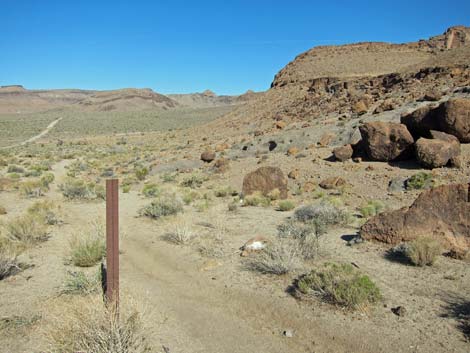
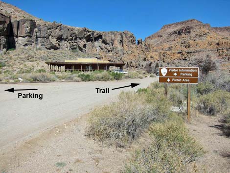
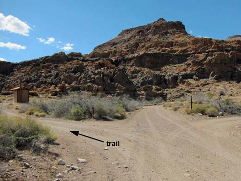
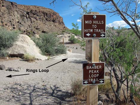
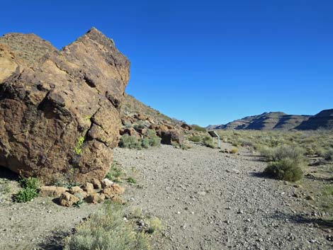
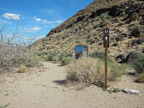 Rings Loop Trailhead with directional sign (view SE) |
Watch Out Other than the standard warnings about hiking in the desert, ...this is a pretty safe hike except that hikers could fall on the steeper, 3rd-class sections of the Rings Trail. Ringbolts provide hand- and foot-holds, but hikers could fall as much as 10 feet if not being careful. Watch the kids at the overlook. The ringbolts are a bit awkward and require some balance and agility, especially the upper set. While hiking, please respect the land and the other people out there, and try to Leave No Trace of your passage. Also, even though this is a short hike, be sure to bring what you need of the 10 Essentials. Please don't touch the petroglyphs - oils on your hands will damage the artwork. |
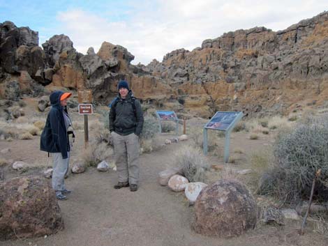
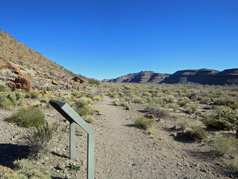
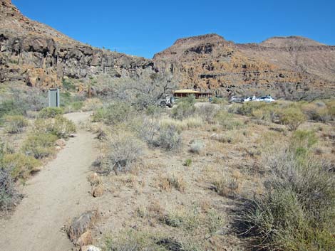
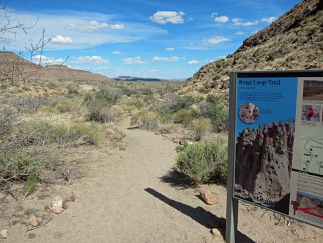 Information sign at start of Rings Loop Trail |
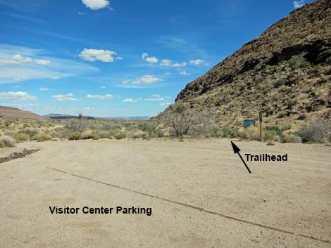
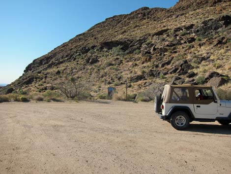
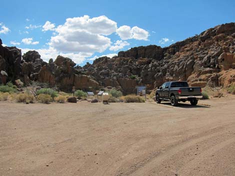
Getting to the Trailhead This hike is located in Mojave National Preserve, about 2 hours south of Las Vegas. From town, drive out to the Hole-in-the-Wall Visitor Center, which is about 85 miles from town. The Hole-in-the-Wall Visitor Center Trailhead is located at the far end (east end) of the Visitor Center parking lot. Park here; this is the trailhead. Alternatively, hikers can continue farther down Hole-in-the-Wall Road to the Rings Trailhead, then start the hike by walking back to the Visitor Center. The trail is a loop, so either trailhead is fine. |
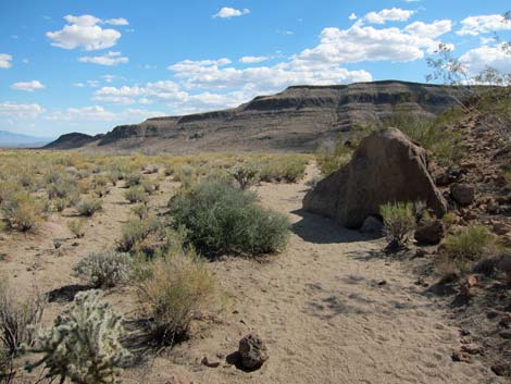
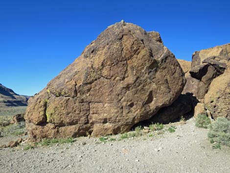
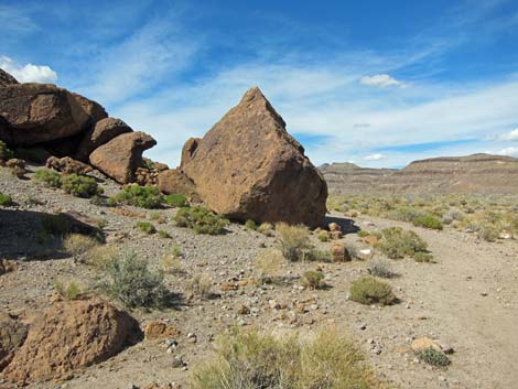
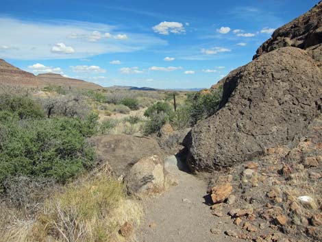 Trail squeezes past volcanic boulder (view SE) Trail squeezes past volcanic boulder (view SE) |
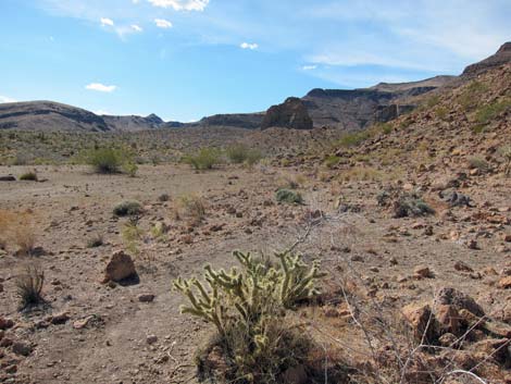
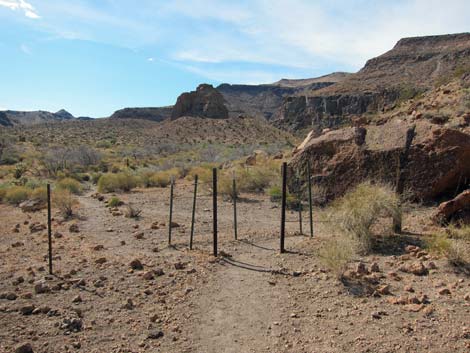
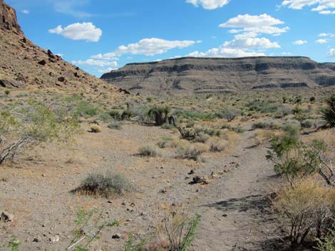
The Hike From the trailhead (Table 1, Waypoint 01) in the southeast corner of the Visitor Center parking lot, the trail runs east and down along the wash. This part of the route runs parallel to the Visitor Center access road. Shortly, the route arrives at a barbed-wire fence (Wpt. 02). After squeezing through the gate, the route drops into and runs down the wash. In this cool, north-facing area, the vegetation is relatively lush. Remember this, and later compare it with the hot, south side of the hill. Staying up against the base of the hills, the wash curves around the corner and bends south. There are some nice California Barrel Cactus along this east-facing hillside. |
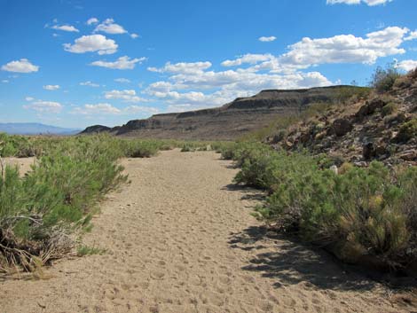
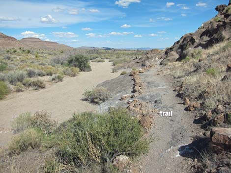 Trail follows edge of wash (view SE) |
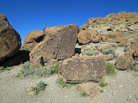
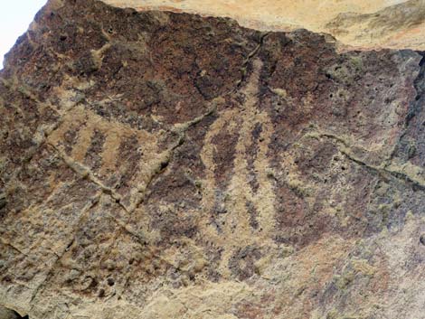
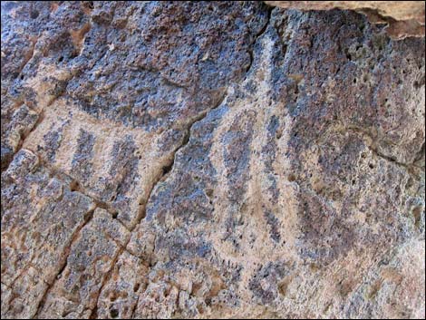
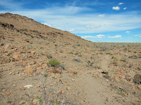
The route leaves the wash along the southeast corner of the hills and starts to turn the a corner, curving to the west. A sign adjacent to large boulders at the corner announces some amazing petroglyphs (Wpt. 03). Enjoy and photograph the ancient art work, some of which may be as much at 10,000 years old, but don't touch. Oils on your hands (the same oils that leave fingerprints) will damage the artwork. Link to photos of more petroglyphs at this site. Turning the corner, the trail heads west across desert flats. This part of the route runs parallel to Wild Horse Road. Notice the sparse vegetation here; some of this is due to over-grazing by cattle and horses, but much is due to the hot and dry conditions on this south-facing slope. Still staying against the base of the hills, the route begins bending north as it passes an old road and traditional camping area. |
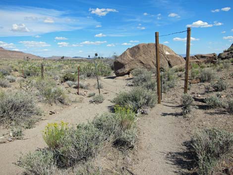 Gate through barbed-wire fence |
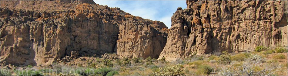
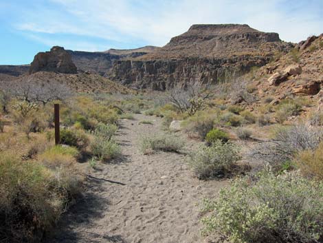
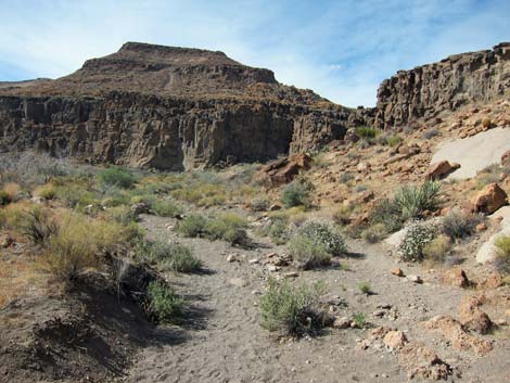
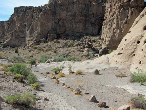
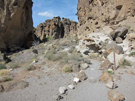
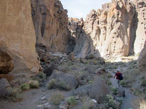
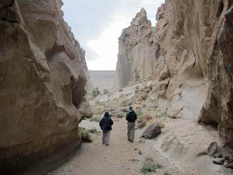
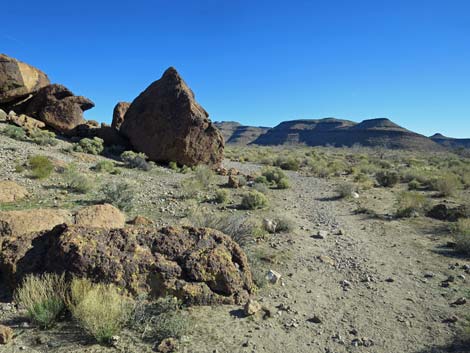
Following the wash north along the base of the hills, the route runs north and approaches Banshee Canyon. The trail stays along the base of the cliffs, eventually reaching a trail junction with the Barber Loop Trail (Wpt. 04). Staying right at the trail junction, the trail follows the wash up into Banshee Canyon (Wpt. 05). Watch for the cleft on the north (left) side of the canyon, which is the Rings Trail. A cleft to the right is impassable to mere mortals. Ascend the Rings Trail to the road (Wpt. 6). For details of this section, which might be the more interesting part of the loop, see the description of the Rings Trail. The trail follows the road around to the right for 0.2 miles back to the Visitor Center, completing the loop. |
 Trail drops into wash (view SE) |
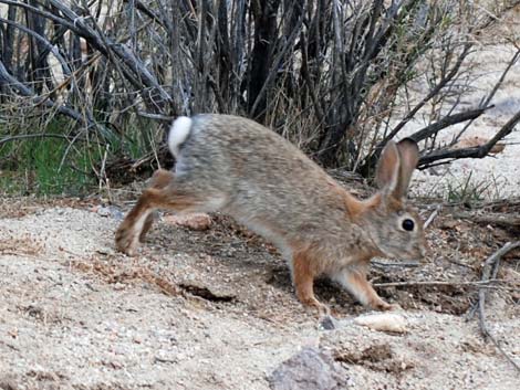 Desert Cottontail hopping down the wash |
 Trail runs south in wash (view S) |
 Approaching SE corner of the hillside (view S) |
 |
 |
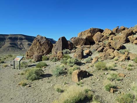 Arriving at the petroglyph site (view SW) |
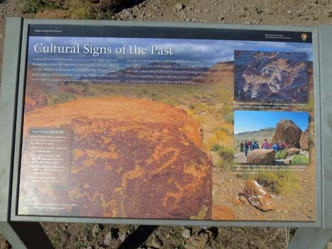 Information sign: Cultural Signs of the Past |
 |
 |
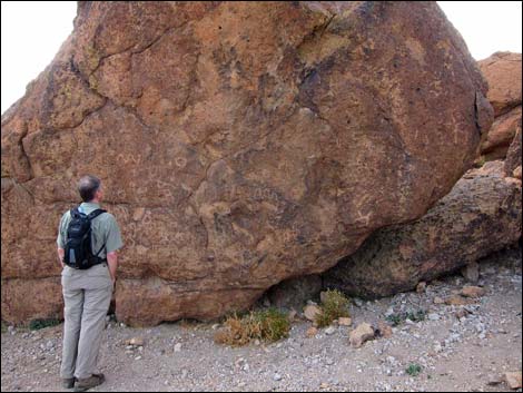 Hiker viewing petroglyphs on largest boulder (view W) |
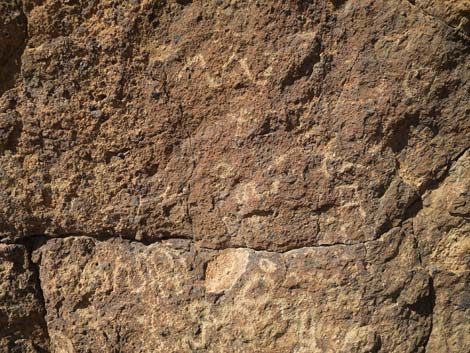 Petroglyphs |
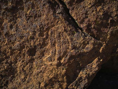 Petroglyph |
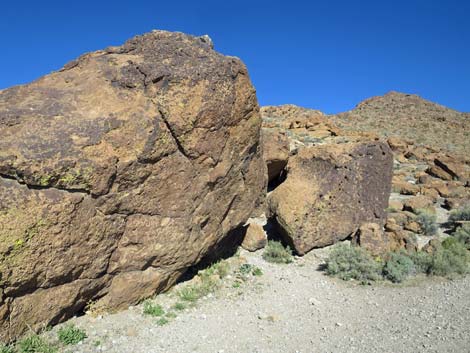
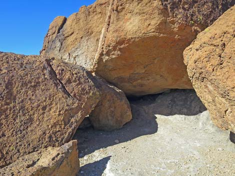 rock shelter (view SW) |
 Inside rock shelter (view SE) [more photos] |
 Inside rock shelter (different lighting) [more photos] |
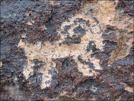 Bighorn sheep petroglyph [more photos] |
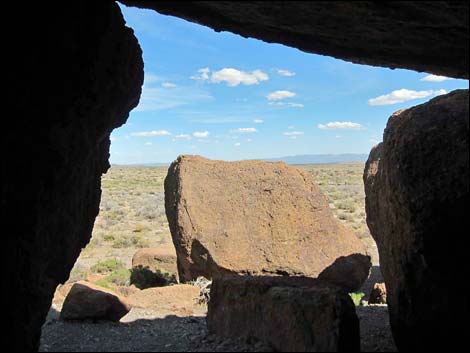 Inside rock shelter (view SE) |
 Trail begins to turn west onto south side of the hill (view W) |
 Trail runs west on south side of the hill (view W) |
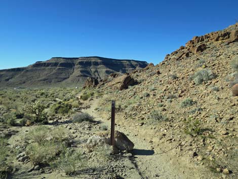
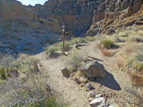
 Trail marker (view W) |
 Summit of Banshee Peak (view W) |
 |
 |
 Trail passes through gate in barbed-wire fence |
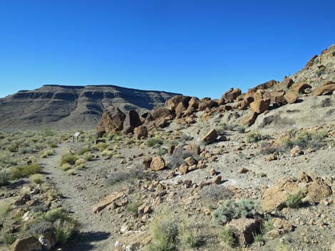
 Trail begins to wrap around to the north (view NW) |
 |
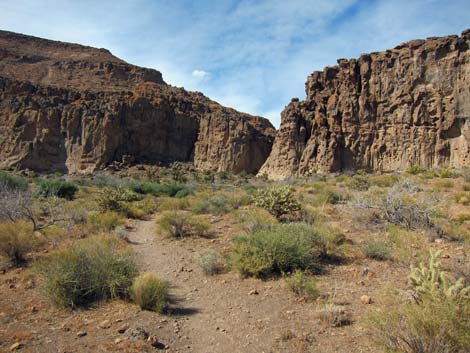 |
 Trail approaching Banshee Canyon (view N) |
 Trail approaching Banshee Canyon (view N) |
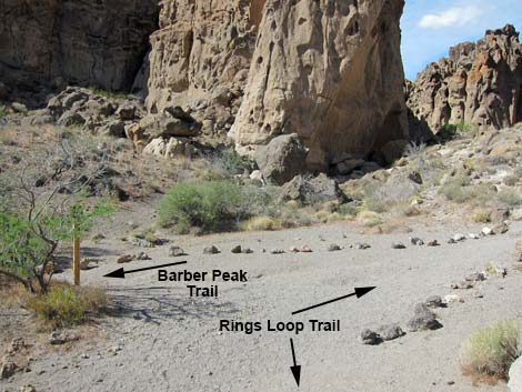 Trail sign (view N; Barber Peak trail turns left) |
 Trail sign (view N) |
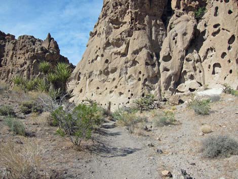
 Trail starting up into Banshee Canyon |
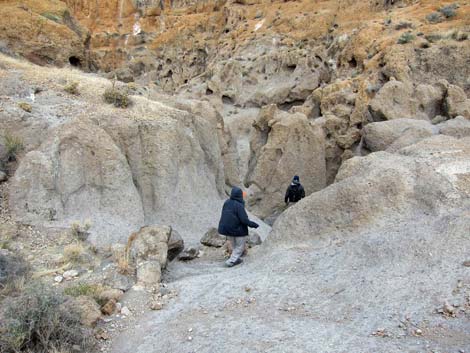
 Hikers approaching Banshee Canyon Slot |
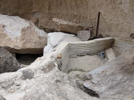 Historic check dam from the cattle ranching days (view N) |
 Historic check dam from the cattle ranching days (view N) |
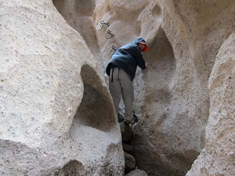
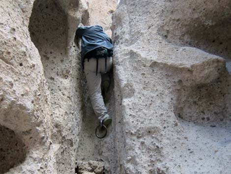
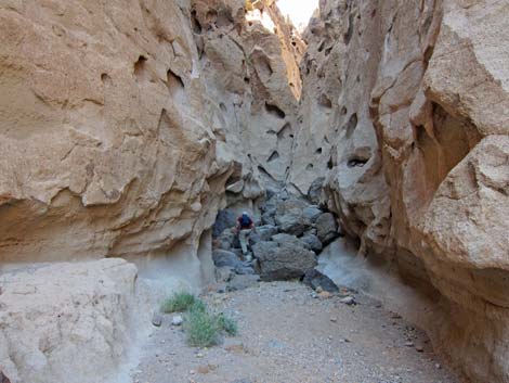 Hiker beginning 3rd-class scramble up Banshee Canyon |
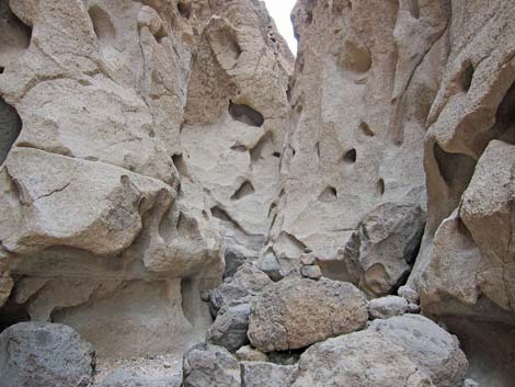 Hole-in-the-Wall cleft (view NE) |
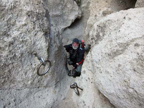
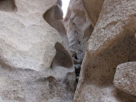 Lower ring-bolt ladder (view NE) |
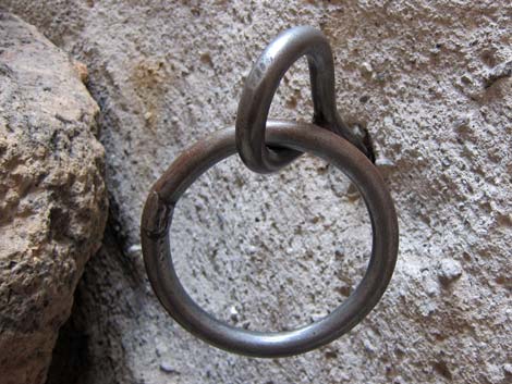 Ring-bolt |
 Hiker climbing lower ring-bolt ladder (view NE) |
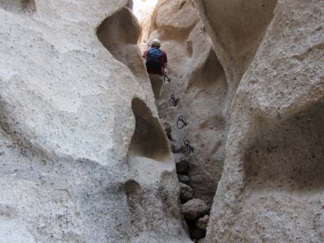 Hiker climbing lower ring-bolt ladder (view NE) |
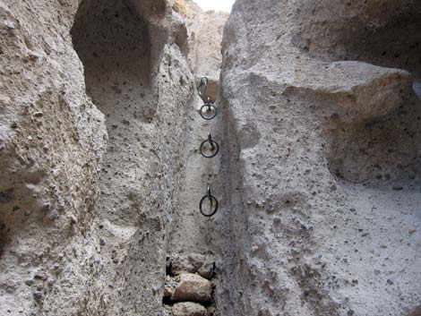 Upper ring-bolt ladder (view NE) |
 Hiker climbing Upper ring-bolt ladder (view NE) |
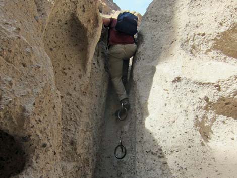 Hiker climbing Upper ring-bolt ladder (view NE) |
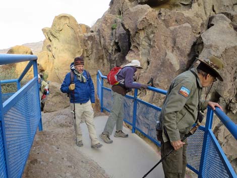
 Hiker arriving at Ring Trail Trailhead (view NE) |
 Spur trail right from trailhead (view E) |
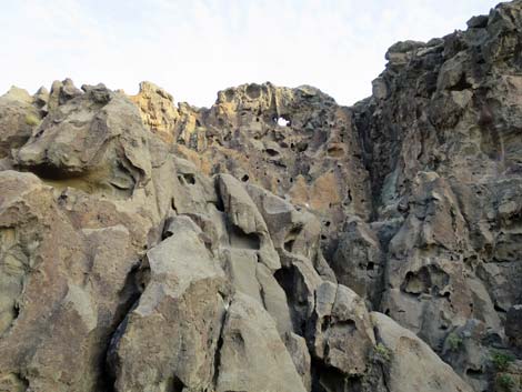 The Hole in the Wall? (view SE) |
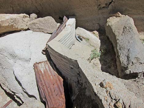
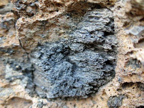 Possible fossil charcoal in rock wall |
 More to come ... |
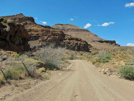
 Picnic Area road leads back to the visitor center (view SE) |
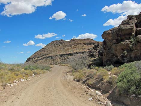 Road to visitor center (view SE) |
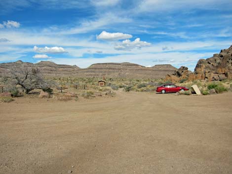
 Hole-in-the-Wall Visitor Center (view SW) |
 Returning to the HITW Visitor Center Trailhead (view SE) |
Going Around the Loop the Other Way
 Departing the Visitor Center on the Picnic Area Road (view W) |
 Hiking on the Picnic Area Road (view W) |
 Entering the Picnic Area (view NW) |
 Trailhead parking at the end of the Picnic Area Road (view W) |
 Trailhead signs (view W) |
 One more sign to point the way (view W) |
 Hikers descending into the narrows (view W) |
 Hikers descending the "rings" (view W) |
 Hikers exiting Banshee Canyon (view SW) |
 Trail forks: stay left along the base of the cliffs (view SW) |
 Bottom of the Rings Trail (Banshee Canyon) Trail |
 Trail runs south along base of Banshee Peak (view S) |
 Trail runs east along base of Banshee Peak (view E) |
 Trail runs north along base of Banshee Peak (view NE) |
 Turning the corner to run north (view NE) |
 Entering the petroglyph area (view N) |
 Approaching an information sign about petroglyphs (view N) |
 petroglyph site (view NW) |
 Trail runs west along base of Banshee Peak (view NW) |
 Trail runs west back to the trailhead (view NW) |
Table 1. Hiking Coordinates Based on GPS Data (NAD27; UTM Zone 11S). Download Hiking GPS Waypoints (*.gpx) file.
| Wpt. | Location | UTM Easting | UTM Northing | Elevation (ft) | Point-to-Point Distance (mi) | Cumulative Distance (mi) | Verified |
|---|---|---|---|---|---|---|---|
| 01 | Trailhead | 646466 | 3878677 | 4,213 | 0.00 | 0.00 | GPS |
| 02 | Gate | 646645 | 3878571 | 4,192 | 0.14 | 0.14 | GPS |
| 03 | Petroglyphs | 646596 | 3878296 | 4,163 | 0.20 | 0.34 | GPS |
| 04 | Trail Junction | 646020 | 3878753 | 4,163 | 0.62 | 0.96 | GPS |
| 05 | Bottom of Cleft | 646079 | 3878812 | 4,182 | 0.06 | 1.02 | GPS |
| 06 | Rings Trailhead | 646177 | 3878898 | 4,256 | 0.17 | 1.19 | GPS |
| 01 | Trailhead | 646466 | 3878677 | 4,213 | 0.26 | 1.45 | GPS |
Happy Hiking! All distances, elevations, and other facts are approximate.
![]() ; Last updated 240329
; Last updated 240329
| Hiking Around Mojave Preserve | Hiking Around Las Vegas | Glossary | Copyright, Conditions, Disclaimer | Home |