Hiking Around Las Vegas, Spring Mountains (Mt. Charleston)
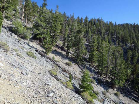
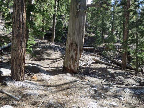 Deep woods in the Great Northwest Gully (view S) Deep woods in the Great Northwest Gully (view S) |
The Hike -- Segment 4 -- McFarland Gully-NW to McFarland Peak Trail Junction (1.8 miles) From the Great Northwest Gully (Table 1, Wpt. 08) that cuts the North Face of McFarland Peak, the trail continues across the gully through deep woods and contours out to the right (south). Exiting the wash, the trail is blocked by a large tree down across the trail, but past that the trail climbs out of gully at moderate grades as it crosses the hillside up and out to the south (seems like west). The traverse of the hillside has narrow spots, steep spots, and a lot of little up and downs (the trail does not follow a constant grade), and the trail is lightly used and not often maintained. Note: the trail in this area has been re-routed. The USGS Topo map shows the old trail, and Google simply shows no trail in this area. At about 0.3 miles from the Great Gully, the old trail turned uphill, but the current trail continues on the contour. Then, at about 0.5 miles out (at the 5th switchback), the current trail cuts steeply uphill crossing the old trail. AllTrails and other phone-mapping programs still show the old trail. |
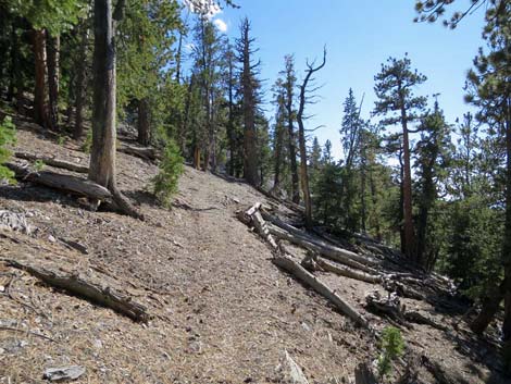
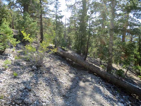
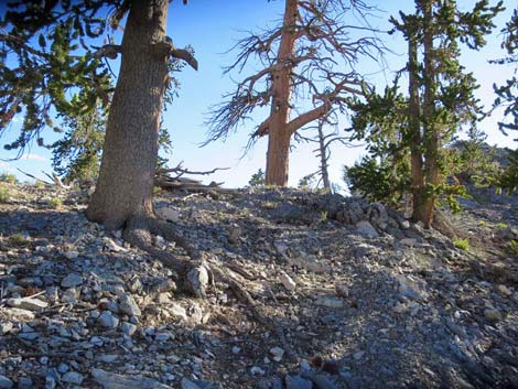
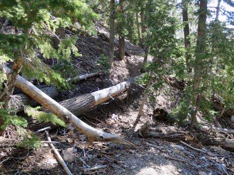 Tree down across the trail when exiting the Great Northwest Gully |
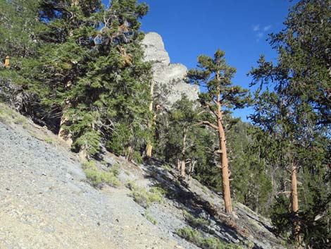
After traversing the hillside for about 0.4 miles, the trail begins to climb a long series of 14 steep, short switchbacks that are the steepest part of the entire trail. It seems that perhaps a trail crew was re-routing this part of the trail, ran out of time, and just turned downhill and cut trail with little regard for obstacles and completely without regard to the grade. There was plenty of open slope here to construct proper switchbacks similar to those on the Southwest Face of Bonanza Peak. After passing the insult of these poorly-designed switchbacks (Wpt. 07), the trail contours upward, but more gently, southward across the slope. Below some steep cliffs, the trail climbs four short, then 2 long, well-designed switchbacks, bringing the trail to the crest of the West Ridge of McFarland Peak (Wpt. 06; 1.3 miles out). |
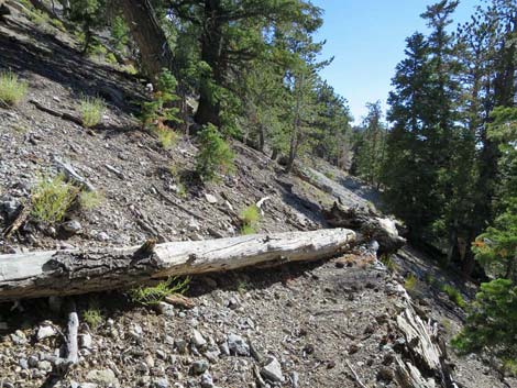
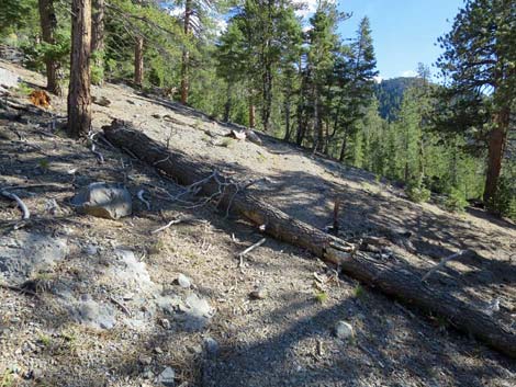
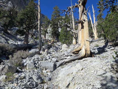
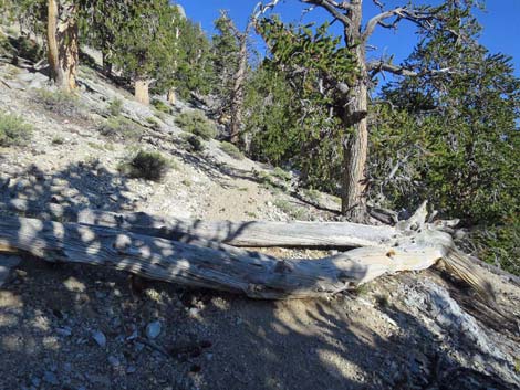
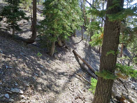 Another tree down across the trail (view S) |
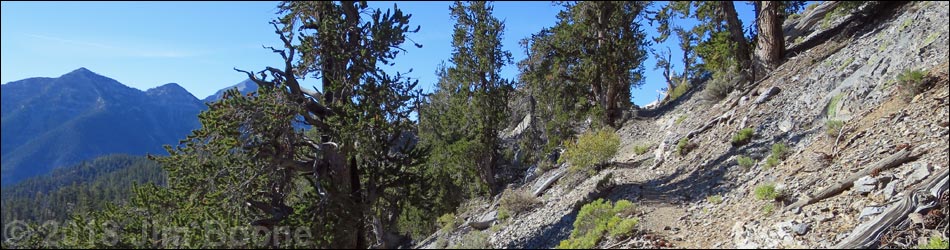
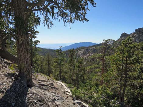
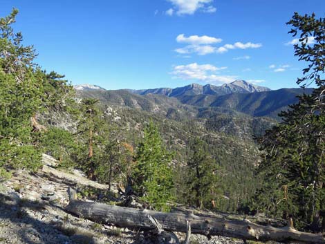
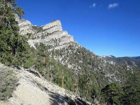
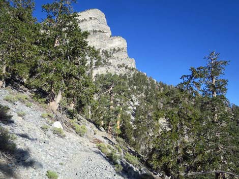
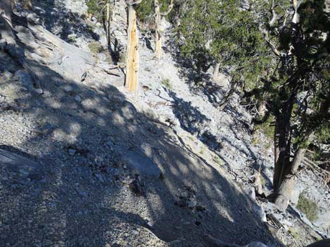
The West Ridge (or from the knob a few yards west of the trail), provides grand views to the north, west, and south. From this point, Wood Spring is visible, as is the southwest side of Bonanza Peak and parts of the trail getting there. Mt. Sterling can be seen far to the north, and Mt. Charleston lies far to the south. The imposing west face of McFarland Peak looms overhead, and the route across the Southwest Face can be seen to the east. The Pahrump Valley and peaks surrounding Death Valley can be seen to the west, and on a clear day, even the Sierra Nevada Mountains of California can be seen in the far distance. From the ridgeline, the trail more-or-less contours down and east (seems like south) across the Southwest Face of McFarland Peak at moderate grades, but parts are covered with talus and pine tree debris and are becoming obscure. Approaching the Great Southwest Gully that cuts the face of the mountain, the trail drops more steeply into the gully. |
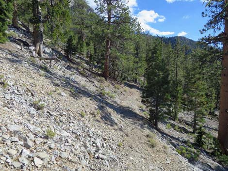
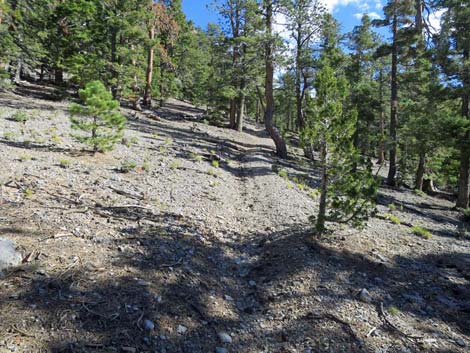
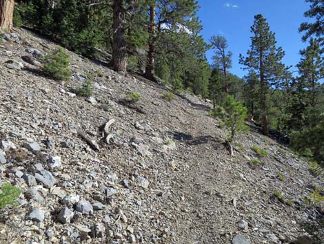
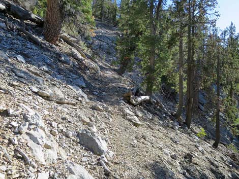
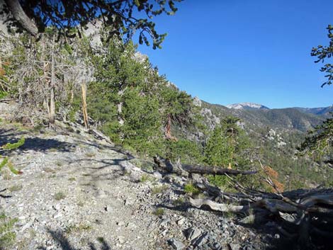
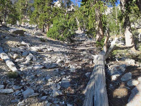
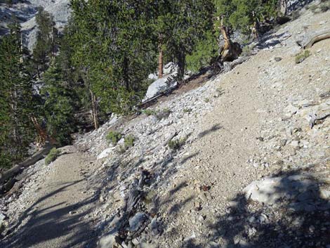
 Nice, open trail (view S) |
Crossing the Great Southwest Gully, the trail continues southeast and climbs 6 short, steep switchbacks (with a pair of downed trees across the trail). At the 6th switchback (Wpt. 05), when the trail bends back to the right to head southeast, a faint use-trail continues northward across the slope and into the Great Gully, passing just above a peculiar rocky outcrop about 20 feet from the main trail. For hikers intending to climb McFarland Peak, this is the route. |
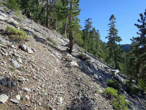
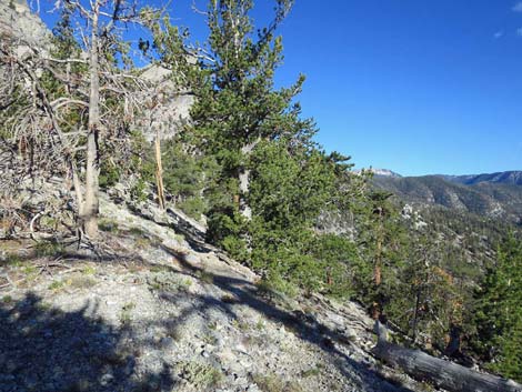
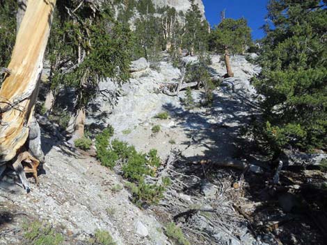
 Steep hillside with nice views (view SW) |
 Another tree down across the trail (view S) |
 Nice, open trail (view S) |
 Another tree down across the trail (view S) |
 Nice, open trail (view S) |
 Another tree down across the trail (view S) |
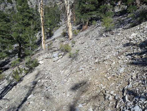
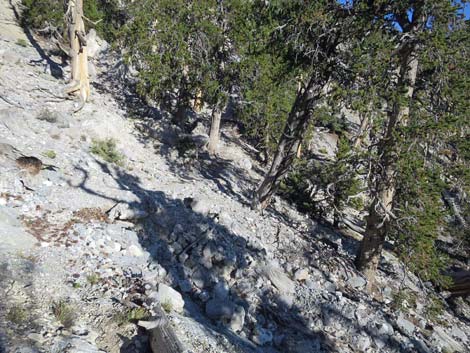
 Obscure trail covered with debris (view S) |
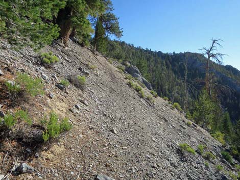
 Faint trail on open hillside (view S) |
 Faint trail on open hillside (view S) |
 Another tree down across the trail (view S) |
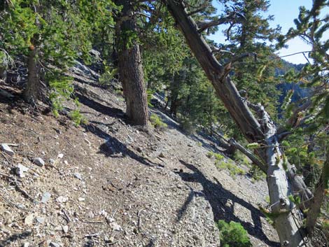 Faint trail in the trees (view S) |
 Obscure trail covered with debris (view S) |
 Faint trail on open hillside (view S) |
 Faint, rocky trail in the trees (view S) |
 Approaching the last of the switchbacks (view SE) |
 Approaching West Ridge (view SW) |
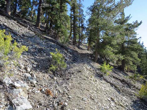
 Arriving on the West Ridge (view SW) |
 West Ridge (view S) |
 |
 |
 Faint trail on open hillside (view SE) |
 Faint trail on open hillside (view SE) |
 Faint trail on open hillside (view SE) |
 Obscure, talus-covered trail on rocky hillside (view SE) |
 Crossing the Great Southwest Gully (view SE) |
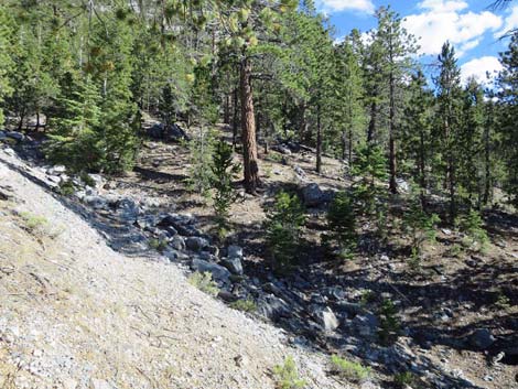
 Great Southwest Gully (view NE) |
 Great Southwest Gully (view NE) |
 Great Southwest Gully (view N) |
 One of 6 switchbacks climbing out of Great Southwest Gully (view N) |
 Pair of trees down across the trail (view S) |
 Switchbacking out of Great Southwest Gully (view N) |
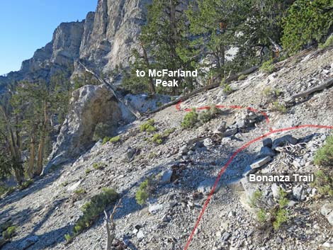 6th switchback and junction to McFarland Peak (view N) |
Happy Hiking! All distances, elevations, and other facts are approximate.
![]() ; Last updated 240329
; Last updated 240329
| Hiking Around Mt Charleston | Hiking Around Las Vegas | Glossary | Copyright, Conditions, Disclaimer | Home |