Hiking Around Las Vegas, Spring Mountains (Mt. Charleston)
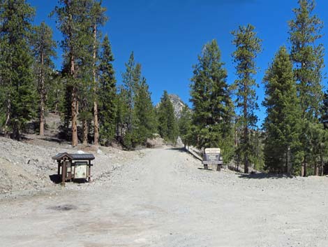
 Upper Bristlecone Trailhead (view SW) |
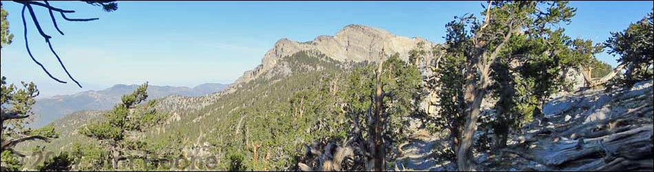
Bonanza Trail The Bonanza Trail (trail overview) runs 16 miles, north-south, along the crest of the Spring Mountain Range connecting Lee Canyon in the south with Cold Creek in the north. As described here, the trail runs from south to north and the description is broken into seven segments. For a description of the trail running the other direction (north to south), see Bonanza Trail Southbound. |
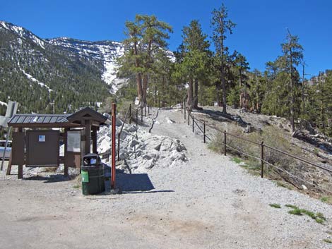
 Lower Bristlecone Trailhead (view NW) |
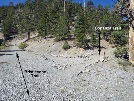
The Hike -- Segment 1 -- Bristlecone Trailhead to Bonanza Trail (2.37 or 2.93 miles) From the Upper Bristlecone Trailhead, it is about 2.37 miles to the start of the Bonanza Trail, and from the Lower Bristlecone Trailhead (Table 1, Waypoint 01), it is about 2.93 miles to the start of the Bonanza Trail. The hiking probably is easier from the Lower trailhead because it follows gentle grades on an old road, but the Upper trailhead is a trail in the woods. Starting from either trailhead, the Bristlecone Trail runs uphill into a mixed Quaking Aspen and conifer forest with plenty of shade and grand views, although the trail from the lower trailhead is more open and provides more expansive (tree free) views. Either way, the Bristlecone Trail eventually arrives at the well-marked junction with the Bonanza Trail (Wpt. 02). For details on this part of the hike, see the description of the Bristlecone Trail. |
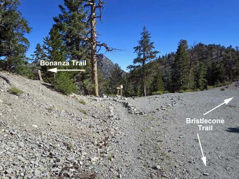
 Lower Bristlecone Trail at Bonanza Trail (view W) |
 Bristlecone Trail passing Bonanza Trail (view N) |
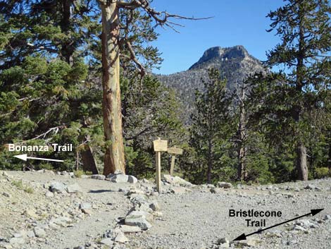 Upper Bristlecone Trail at Bonanza Trail (view NE) |
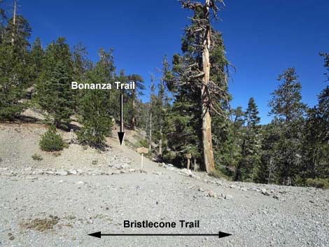
 Upper Bristlecone Trail approaching Bonanza Trail (view NE) |
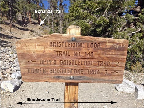 Bristlecone Trail sign (view NW); Bonanza Trail in the background |
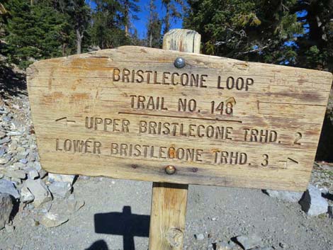 Bristlecone Trail sign (view NW) Bristlecone Trail sign (view NW) |
Happy Hiking! All distances, elevations, and other facts are approximate.
![]() ; Last updated 180222
; Last updated 180222
| Hiking Around Mt Charleston | Hiking Around Las Vegas | Glossary | Copyright, Conditions, Disclaimer | Home |