Hiking Around Las Vegas, Spring Mountains (Mt. Charleston)
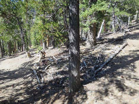
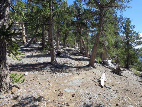
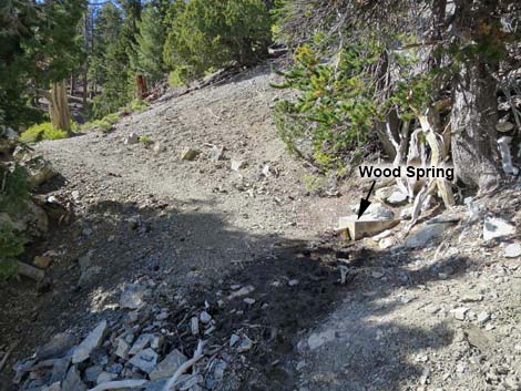 Wood Spring (view N) |
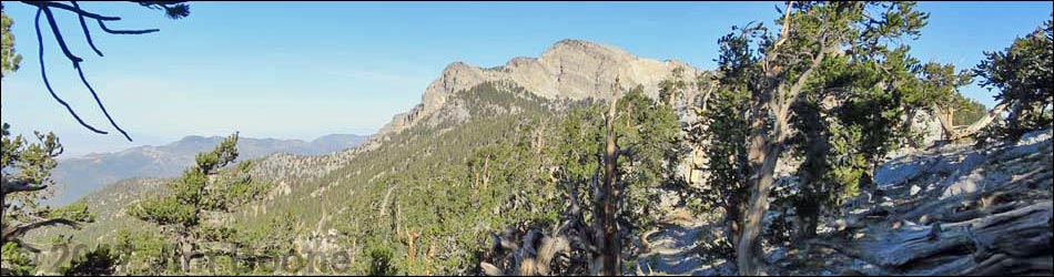
Bonanza Trail The Bonanza Trail (trail overview) runs 16 miles, north-south, along the crest of the Spring Mountain Range connecting Lee Canyon in the south with Cold Creek in the north. As described here, the trail runs from south to north and the description is broken into seven segments. For a description of the trail running the other direction (north to south), see Bonanza Trail Southbound. |
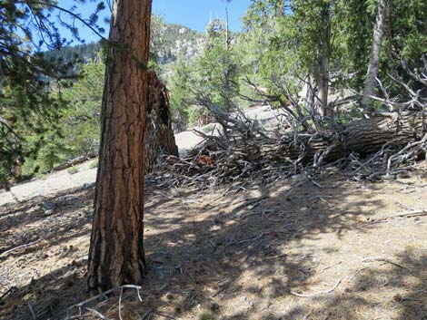
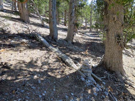
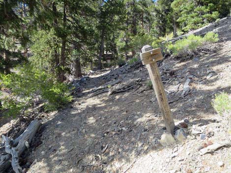 "Trail right" sign; left to Wood Spring campsites (view N) |
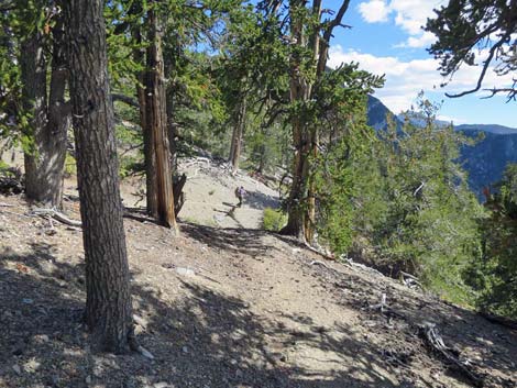
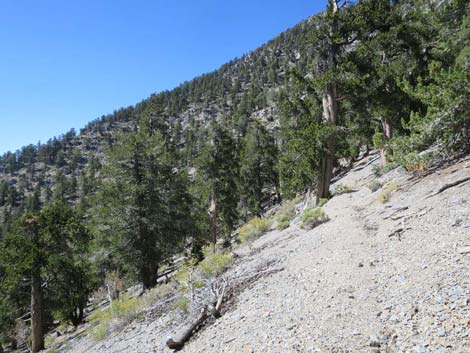
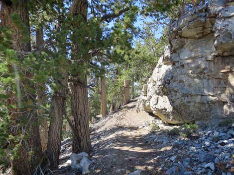
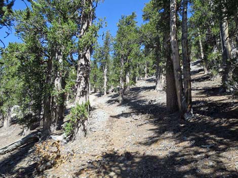
The Hike -- Segment 6 -- Wood Spring to Bonanza Peak Junction (2.25 miles) From Wood Spring (Table 1, Wpt. 10), the trail continues up the narrow gully. About 40 yards beyond Wood Spring, the trail forks at a small sign (small arrow and "trail"). The left fork crosses the gully and runs up to two campsites that can be seen from the junction (they are each big enough for a tent or two). This is steep country, so for hikers inclined to camp near the spring, this is the place to do it. The right fork continues northward, and just past the fork, the trail passes two short switchbacks, and turns northeast to run directly up the forested hillside. Shortly the trail arrives at the first of 11 switchbacks. In contrast to the switchbacks back across the canyon, these are a well-designed series of long, gentle switchbacks that lead to a point (Wpt. 11) high on the side of the Southwest Face of Bonanza Peak. In this area, there are some nice, high, and exposed sections of trail with good views to the southwest. The switchbacks are gentle, but they seem to go on forever. |
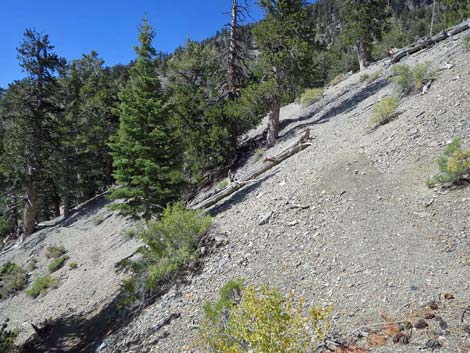
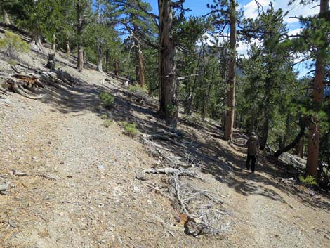
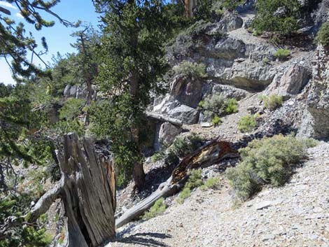
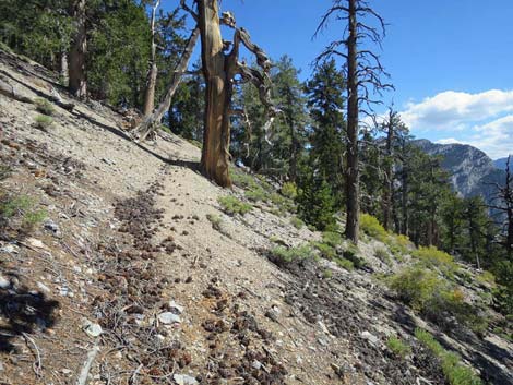
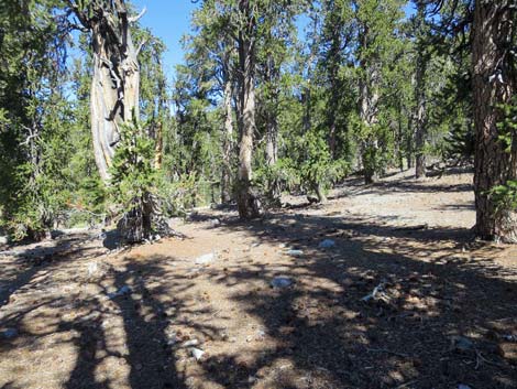
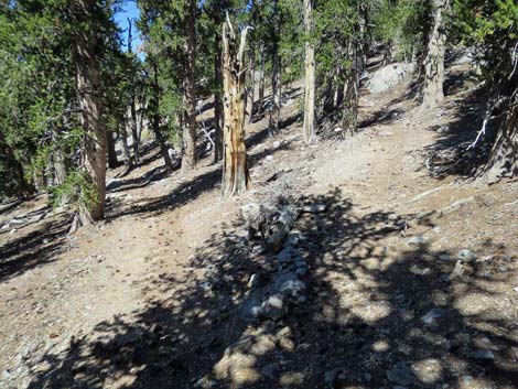
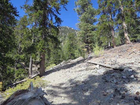 Trail climbs past Wood Spring (view NE) |
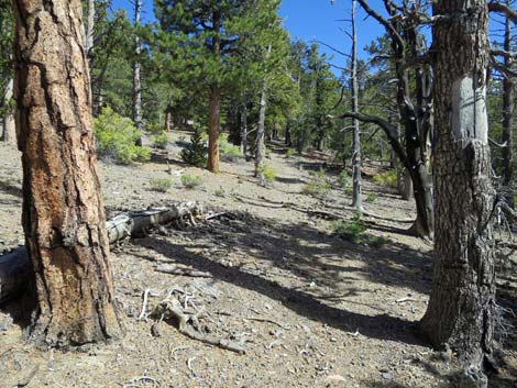
From the 11th switchback (Wpt. 11), the trail contours up and across a broad, wooded slope to 4, and then 2, short switchbacks, followed by 4 longer switchbacks, another contour, 4 more short switchbacks, and finally a contour onto the West Ridge of Bonanza Peak (Wpt. 12). Turning straight up the ridgeline, the trail climbs past a large, open, relatively flat area that would be a good campsite for big groups (no water). Following the ridgeline, the trail abruptly turns left to contour up and across the slope below Bonanza Peak to near the North Ridge of Bonanza Peak and a junction (Wpt. 13) with a use-trail to the summit. Bagging the peak adds another 0.5 miles to the hike, but it is too close to pass up. To summit Bonanza Peak (10,400 ft), follow the use-trail onto the saddle to the east, then follow the ridgeline 0.24 miles south to the summit (Wpt. 14). |
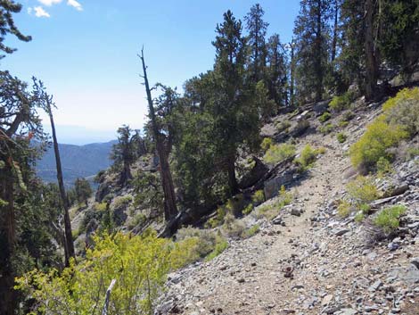
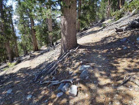
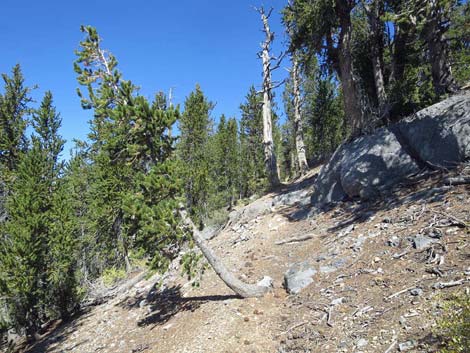
 Trail above Wood Spring (view NE) |
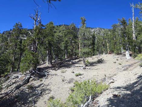 Trail above Wood Spring (view NE) |
 |
 |
 |
 |
 |
 |
 |
 |
 |
 |
 |
 |
 |
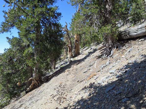 |
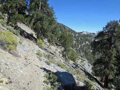
 Faint trail traversing the hillside (view NW) |
 Switchbacking onto the West Ridge of Bonanza Peak (view E) |
 Trail climbs West Ridge of Bonanza Peak (view E) |
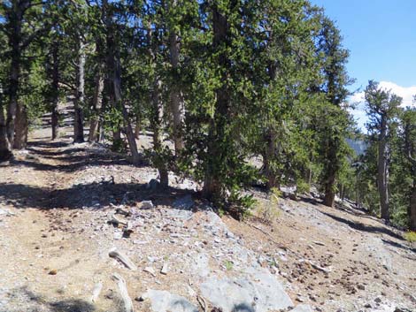
 Open area that could serve as a dry camp (view NE) |
 |
 |
|
|
 The last of the uphill switchbacks (view N) |
 Lower cairn marking use-trail to summit of Bonanza Peak (view NE) |
Happy Hiking! All distances, elevations, and other facts are approximate.
![]() ; Last updated 240329
; Last updated 240329
| Hiking Around Mt Charleston | Hiking Around Las Vegas | Glossary | Copyright, Conditions, Disclaimer | Home |