Hiking Around Las Vegas, Mount Charleston Area, Kyle Canyon
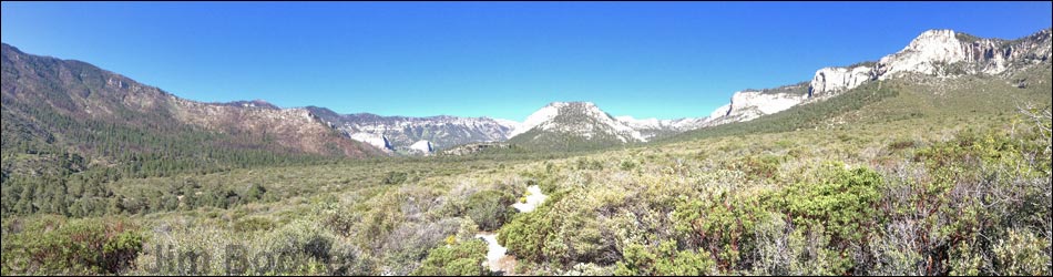
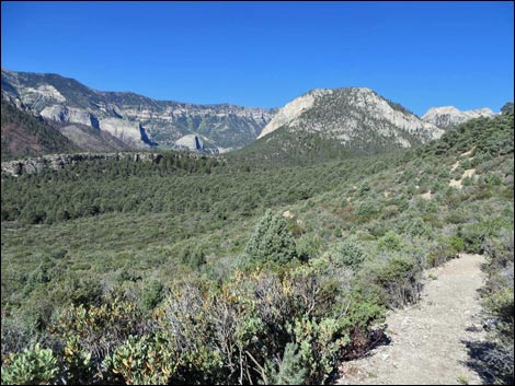
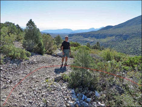
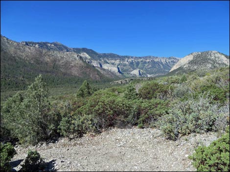
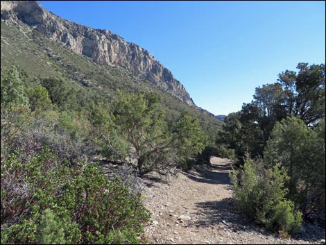
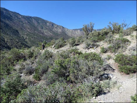
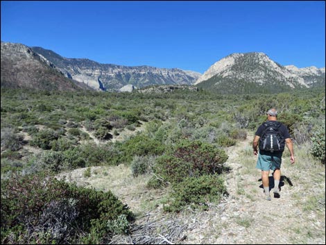
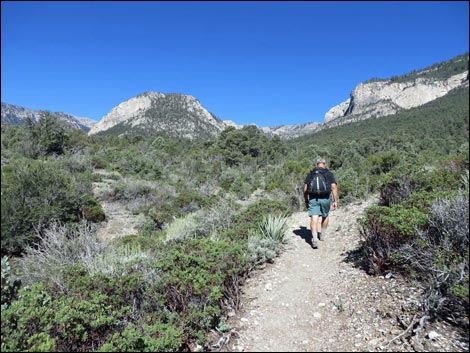
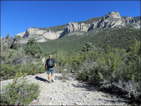
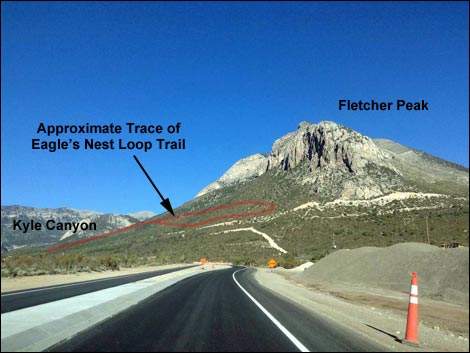 Approximate trace of Eagle's Nest Loop Trail (view W) |
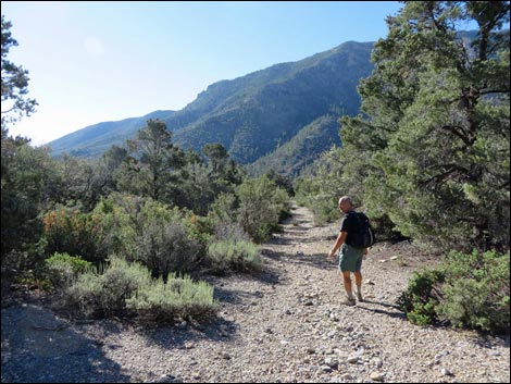
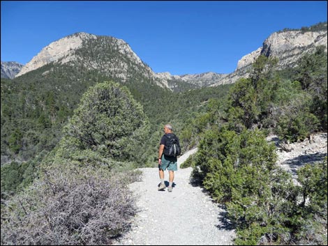
Overview The Eagle's Nest Loop Trail is a pleasant, 2.75-mile trail near the mouth of Kyle Canyon. This hike starts on and follows the Fletcher Canyon Trail for 0.35 miles. The Eagle's Nest Trail then forks off to the right to climb a short, steep incline (130 vertical-feet in 220 trail-feet!). From there, the trail runs east on gentle grades. The trail splits to make a 1.55-mile loop, first heading north and east beneath towering limestone cliffs, then turning south and west to close the loop and return to the trailhead. From much of the trail, grand views up and down Kyle Canyon await the hiker. The area has few tall trees, probably the result of a forest fire long ago, but it is well grown with shrubs that do not block the views, which are typical of the reward from a more intense hiking experience. Although most of the loop is not forested, occasional trees provide shade -- and steady breezes help keep hikers cool. Thanks to Jason Martin and Klaus Altemueller for help in writing up this trail description. Link to map. |
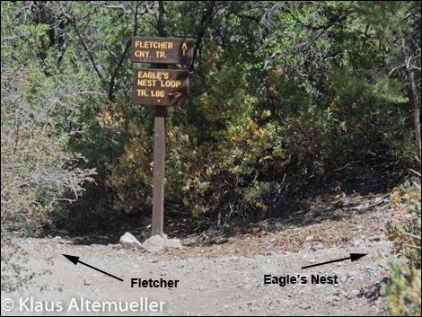
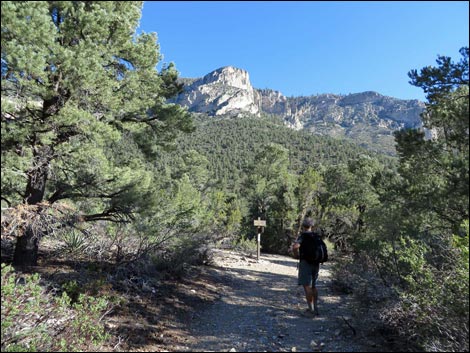
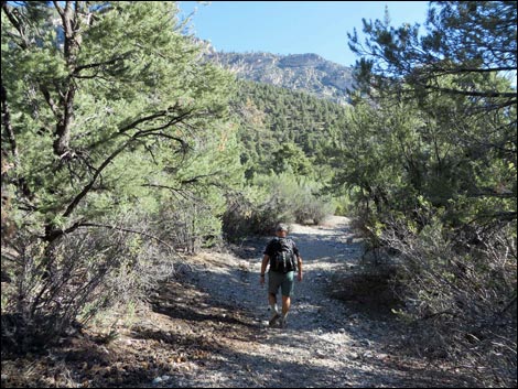
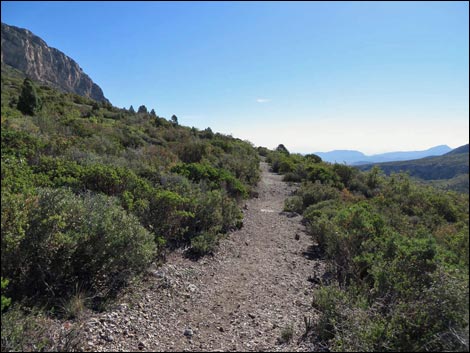
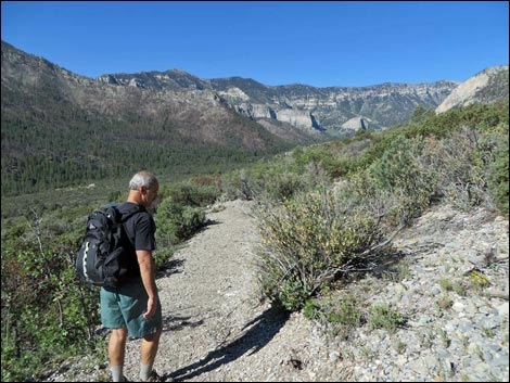
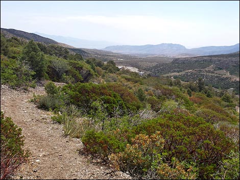
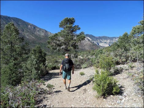
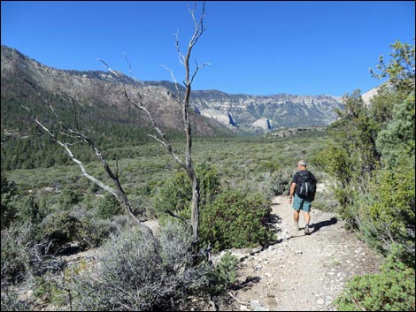
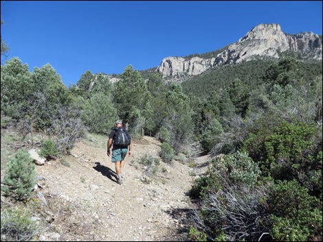
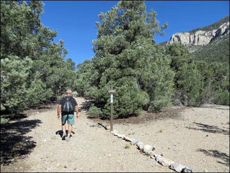
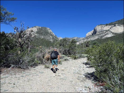
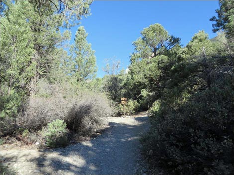 Fletcher Canyon Trail, approaching Eagle's Nest Trail (view N) |
Watch Out Other than the standard warnings about hiking in the desert, ... this is a pretty safe hike, but stay off the open hillsides if thunderstorms threaten. Most of the loop is on a shadeless, south-facing slope, so take advantage of the few clumps of trees to rest and cool off. While hiking, please respect the land and the other people out there, and try to Leave No Trace of your passage. Also, this hike is moderately long, so bring what you need of the 10 Essentials. Getting to the Trailhead This hike is located in Kyle Canyon up in the Spring Mountains National Recreation Area, about 45 minutes northwest of Las Vegas. From town, drive out Highway 95 to Kyle Canyon Road, then turn left and continue up Kyle Canyon Road, past the Visitor Center, to the Fletcher Canyon Trailhead. |
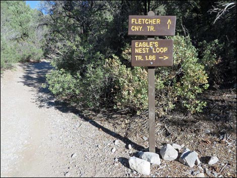
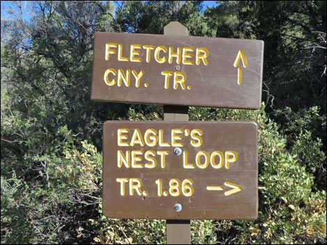
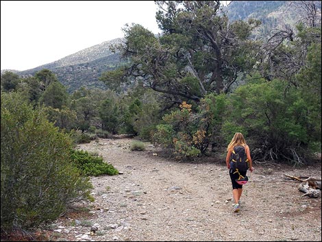
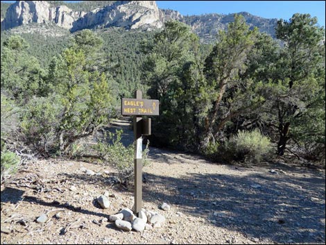
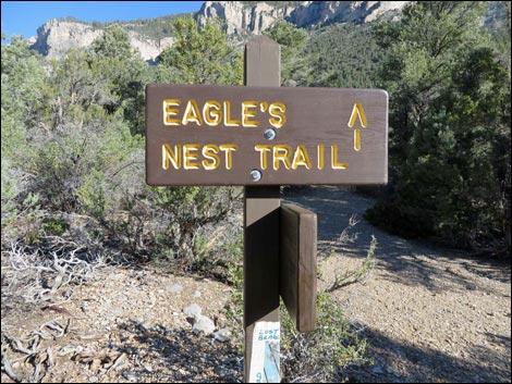
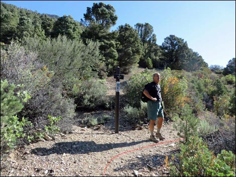
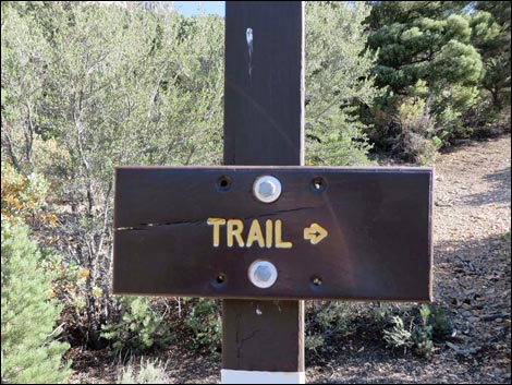
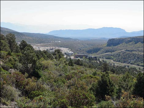
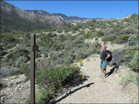
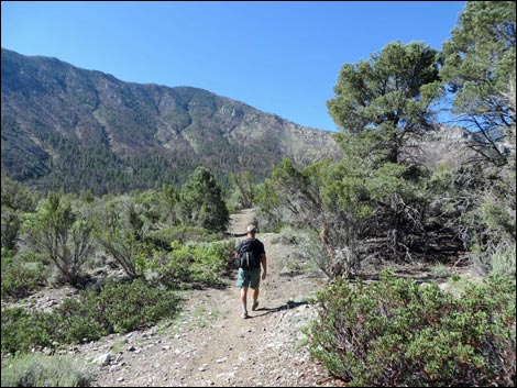
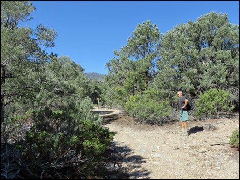
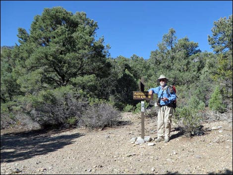
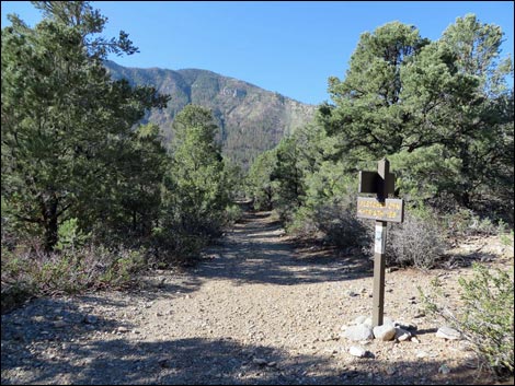
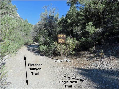 Fletcher Canyon Trail at junction: Eagle's Nest to the right Fletcher Canyon Trail at junction: Eagle's Nest to the right |
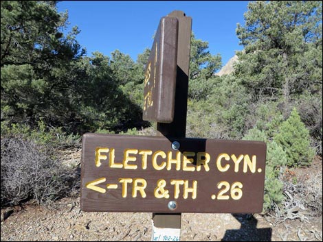
The Hike Starting from the Fletcher Canyon Trailhead parking area, the trail crosses Kyle Canyon Road and quickly passes trailhead signs (Wpt. 01) with maps and information about the area. Following the well-defined Fletcher Canyon Trail, hikers head northeast, then northwest, eventually following along and crossing Fletcher Canyon Wash (Wpt. 02). At about 0.35 miles out, a sign announces the Eagle's Nest Loop Trail junction (Wpt. 03). Here, the Fletcher Canyon Trail continues northwest in the bottom of the canyon, while the Eagle's Nest Loop Trail turns abruptly right and climbs a steep ramp to the east, which eventually gets hikers out of the canyon and onto the broad, gentle ridge above (Wpt. 04). |
 |
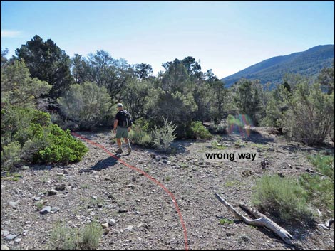
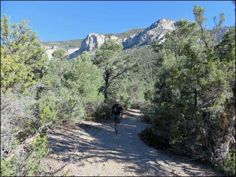
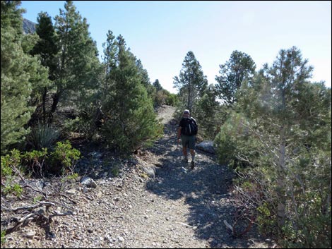
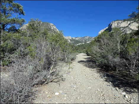
On easy grades, the trail runs southeast through a pinyon-juniper woodland with some taller trees and lots of shrubs, including pointleaf manzanita, banana yucca, stansbury cliffrose, and curl-leaf mountain mahogany. The trail eventually curves to the left in an open area with few trees and shrubs, making it possible to miss the turn and keep walking straight. Now heading north, the trail arrives at a signed trail junction (Wpt. 05). This is the start of the "loop" in the Eagle's Nest Loop Trail. Hikers can continue straight or turn right, but it is easier to continue straight. It is a loop, however, so either direction will work. Based on the consensus of several hikers, it's better to start on the north-bound part of the loop. Even though it's a mild hike, the left-hand start to the loop will take you on a mild incline, which then loops around to downward switchbacks and a very mild incline for the final quarter of the loop, versus starting off with a short decline, then predominantly upward switchbacks, and a gradual decline on the return part of the loop. The left-hand part of the loop is better worn and marked, as well, so there's less chance of getting lost along the way. |
 Fletcher-Eagle's Nest Loop trail junction (view N) |
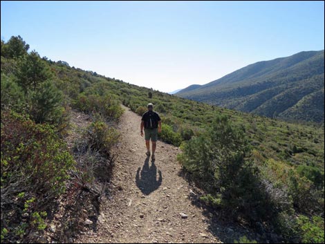
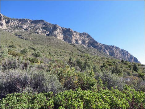
Continuing straight, the trail runs north on a gentle incline, then comes to a bend (Wpt. 06) and curves to the east. The bend is signed, but the shrubs are so thick that nobody should miss the trail. Now heading east on gently rolling terrain, the trail gets up and out of the trees. While this can make for hot hiking in the full sun, it also provides for grand views up and down Kyle Canyon. To the south, directly across Kyle Canyon, Harris Peak shows signs of the Carpenter One Fire. Across the canyon, Griffith Peak with burned flanks also looms large, and Cathedral Rock can be seen up the canyon. Little Fletcher Peak blocks views directly up Kyle Canyon, but the South Ridge and North Ridge show their barren limestone crags. To the north, the fortress-like walls of Fletcher Peak dominate the viewscape, and to the east, the Sheep Range can be seen in the far distance. From a few places, the building in Lower Kyle Canyon (including the new Visitor Center), can be seen through the brush. The trail eventually runs out across the sideslopes to the first (Wpt. 07) of seven switchbacks. |
 |
Several rocks direct hikers into the first switchback, which helps you stay on the trail rather than accidentally continuing forward where washes seem to insinuate a path. There is a way somewhere around here that leads to Deer Creek Road, but I cannot confirm the path. After descending the first four switchbacks, the trail takes a longer jaunt to the east and passes beneath a few tall trees (Wpt. 08) that offer some shade. After enjoying the shade, the trail drops another three switchbacks, turning to the west for the final time at the seventh switchback (Wpt. 09). The trail runs west across shrub-covered slopes where in the distance a weather station can be seen at the end of the heliport road. The trail stays far above the heliport, eventually running up along a bench overlooking a wash. In this area, pieces of an old water pipeline run along the edge of the trail, but then the trail passes a boneyard of pipe (Wpt. 10) suggesting that someone once tried to remove the pipe but left long segments piled on the ground. |
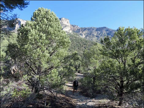
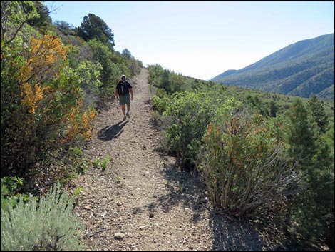
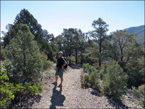
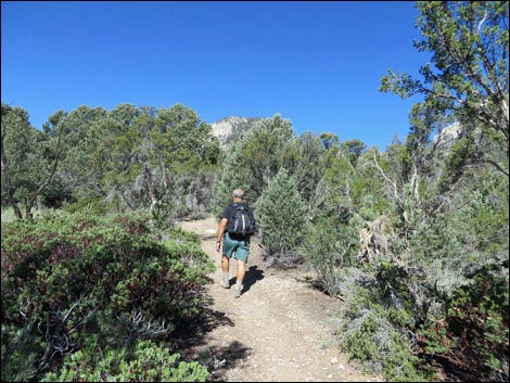
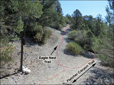 Sharp incline at the start of Eagle's Nest Loop Trail (view E) |
Towards the end of the loop, the trail gets a little more faint, but not invisible. Just keep traveling in the same direction (west), and the next bush or turn will reveal a more distinct part of the trail to validate that you're on the right path. The trail eventually contours into and crosses the wash, then winds through a forest of pinyon pine and juniper trees until reaching the previous trail junction (Wpt. 05) and closing the loop. Turning left, hikers now follow their footprints back along the trail, eventually descending the steep slope to reach the Fletcher Canyon Trail (Wpt. 03). Again, turning left to head downhill, the trail ends where it began at the Fletcher Canyon Trailhead (Wpt. 01) and the pavement. |
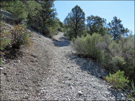 This steep incline is hardest part of the hike (view e) |
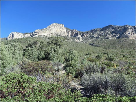
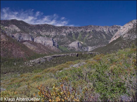
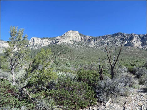
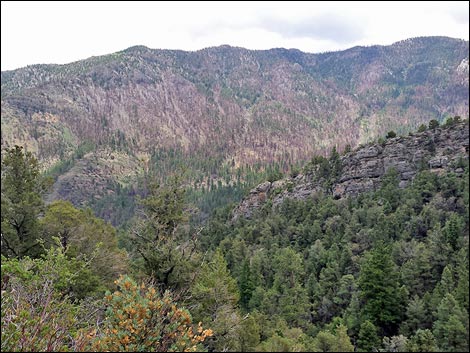 Spectacular view of Harris Mountain atop steep incline (view S) |
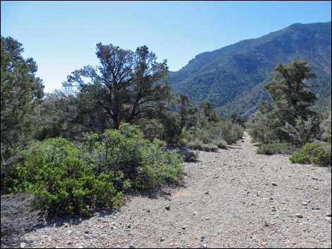
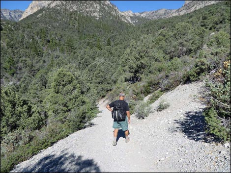
 Gentle downgrade (view SE) |
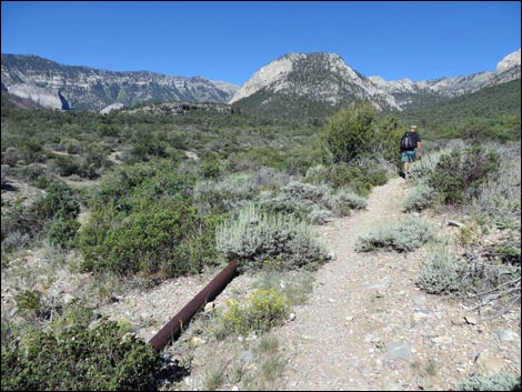
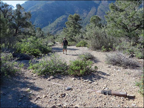 Trail passes a bit of exposed historic water pipe (view SE) |
 |
 |
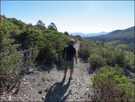
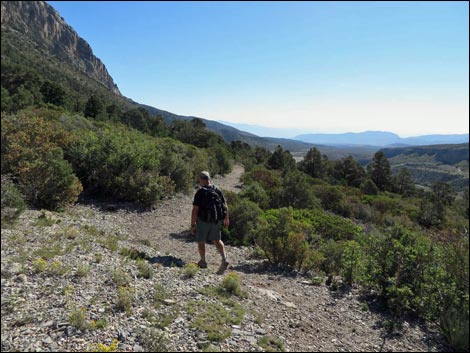
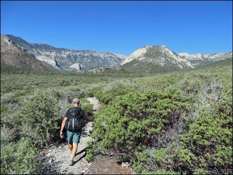
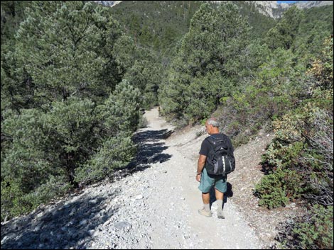
 Following the ridge southward (view SE) |
 The only place where hikers are likely to miss the trail (view E) |
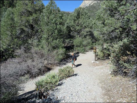
 Approaching trail junction (view N) |
 Approaching trail junction (view N) |
 Sign at start of "loop" on Eagle's Nest Loop Trail (view N) |
 Sign at start of "loop" on Eagle's Nest Loop Trail (view N) |
 Looking down the end of the loop (not the easy way to go; view E) |
 Hiker starting loop heading north |
 Hiker on trail (view N) |
 Hiker at the first bend on the loop trail (view N) |
 Trail sign at first bend (view N) |
 Hiker crossing gentle slopes (view E) |
 Hiker on sunny sideslope (view E) |
 Hiker approaching a small bit of shade (view E) |
 Grand view: Fletcher Peak (view N) |
 Grand view: Fletcher Peak cliffs (view NE) |
 Grand view: Kyle Canyon (looking back; view W) |
 Grand view: Kyle Canyon (looking ahead; view E) |
 Grand scenery (view W up Kyle Canyon) Grand scenery (view W up Kyle Canyon) |
 Hiker on sunny sideslope (view E) |
 Hiker at top of first switchback (view SE) |
 Hiker descending first switchback (view W) |
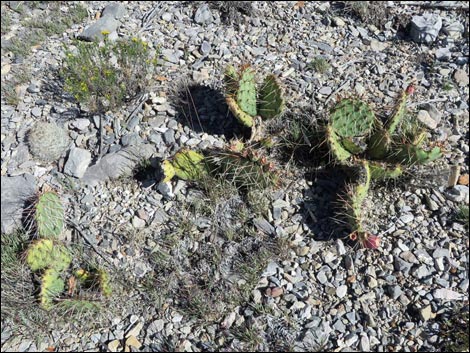 Dry hillside with pricklypear cactus and spiny star cactus |
 Hiker descending long switchback (view E) |
 Turning another switchback (view W) |
 Grand views (view E) |
 Grand views (view E) |
 Hiker approaching the best shade on this end of the trail (view E) |
 |
 |
 Beyond the last switchback (view W) |
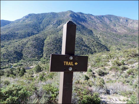 Directional trail sign (view S towards Harris Mountain) |
 |
 |
 Hiker among dense shrubs (view W) |
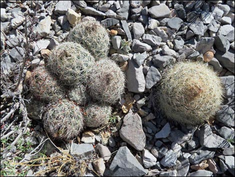 Unusual spiny star cactus: one too clumpy, one too big |
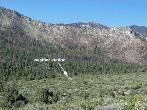 Weather station in the distance (view SW) |
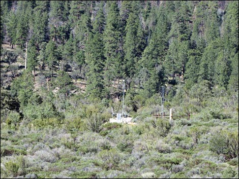 Weather station in the distance (view SW; zoom) |
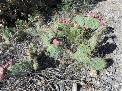 Pricklypear cactus with red fruits Pricklypear cactus with red fruits |
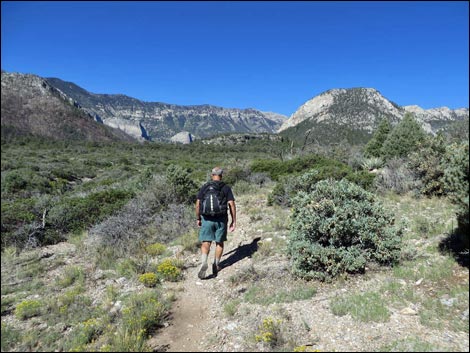 Hiker among sparse shrubs (view W) |
 |
 |
 Water pipe along the trail (view W) |
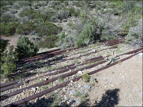 Boneyard of cut water pipes along the trail (view W) Boneyard of cut water pipes along the trail (view W) |
 |
 |
 |
 |
 Hiker on trail easy to follow (view NW) |
 Hiker approaching end of loop (view W) |
 Hiker by sign at end of the loop (view W) |
 Sign at end of the loop (view W) |
 Starting back the way we came (view S) |
 Returning back the way we came (view S) Returning back the way we came (view S) |
 |
 |
 Top of the steep section (view NW) |
 Hiker starting down the steep section (view NW) |
 Hiker descending down the steep section (view NW) |
 Hiker at bottom of steep section; back on Fletcher Trail (view NW) |
Table 1. Hiking Coordinates and Distances based on GPS Data (NAD27; UTM Zone 11S). Download hiking GPS waypoints (*.gpx) file.
| Wpt. | Location | UTM Easting | UTM Northing | Elevation (ft) | Point-to-Point Distance (mi) | Cumulative Distance (mi) | Verified |
|---|---|---|---|---|---|---|---|
| 01 | Trailhead | 624794 | 4013888 | 6,947 | 0.00 | 0.00 | GPS |
| 02 | Cross Fletcher Wash | 624806 | 4014081 | 7,009 | 0.11 | 0.11 | GPS |
| 03 | Trail Junction | 624605 | 4014303 | 7,062 | 0.24 | 0.35 | GPS |
| 04 | Top of Steep | 624667 | 4014300 | 7,189 | 0.04 | 0.39 | GPS |
| 05 | Start of Loop | 624873 | 4014243 | 7,126 | 0.21 | 0.60 | GPS |
| 06 | Trail Bends | 624927 | 4014478 | 7,172 | 0.17 | 0.77 | GPS |
| 07 | Switchbacks-Top | 625494 | 4014540 | 7,177 | 0.36 | 1.13 | GPS |
| 08 | Shade | 625659 | 4014527 | 7,081 | 0.20 | 1.33 | GPS |
| 09 | Switchbacks-bottom | 625744 | 4014538 | 7,011 | 0.13 | 1.46 | GPS |
| 10 | Water Pipes | 625108 | 4014251 | 7,056 | 0.51 | 1.97 | GPS |
| 05 | Start of Loop | 624873 | 4014243 | 7,126 | 0.18 | 2.15 | GPS |
| 04 | Top of Steep | 624667 | 4014300 | 7,189 | 0.22 | 2.37 | GPS |
| 03 | Trail Junction | 624605 | 4014303 | 7,062 | 0.04 | 2.41 | GPS |
| 02 | Cross Fletcher Wash | 624806 | 4014081 | 7,009 | 0.25 | 2.66 | GPS |
| 01 | Trailhead | 624794 | 4013888 | 6,947 | 0.09 | 2.75 | GPS |
Happy Hiking! All distances, elevations, and other facts are approximate.
![]() ; Last updated 240329
; Last updated 240329
| Hiking Around Mt Charleston | Hiking Around Las Vegas | Glossary | Copyright, Conditions, Disclaimer | Home |