Hiking Around Las Vegas, Spring Mountains (Mt. Charleston), Kyle Canyon
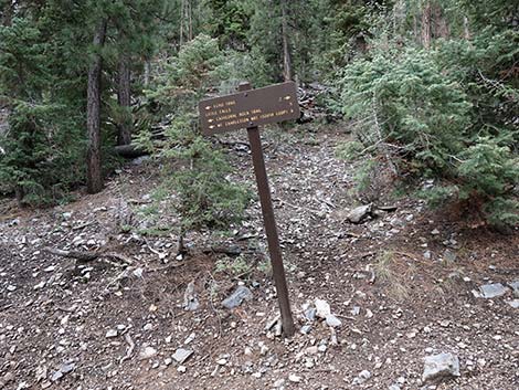
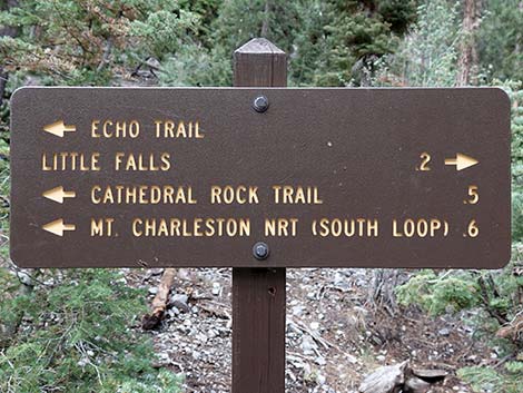
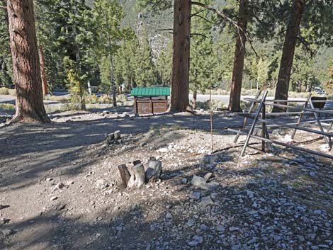
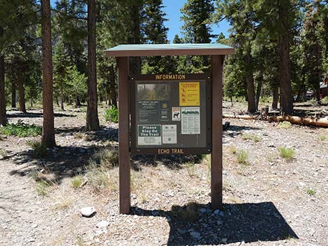 Echo Trail information sign |
Overview Echo Trail runs for about 1.2 miles between Echo Trailhead and Cathedral Rock Trailhead. The west half of the trail mostly runs on old roads, with some steep bits, and the east half runs on a regular trail. The entire trail runs through a forest of ponderosa pine and white fir beneath Cathedral Rock. The trail provides some nice views to the north across Kyle Canyon, and it runs across the bottom of an avalanche chute strewn with the remains of a forest that once was higher up the hillside. This trail also provides access to the Little Falls Trail. Link to map. |
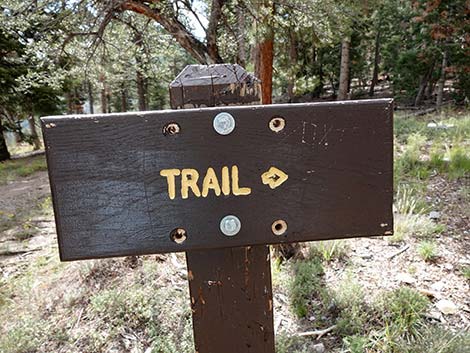
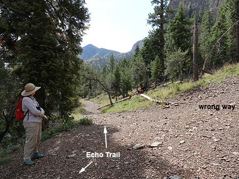
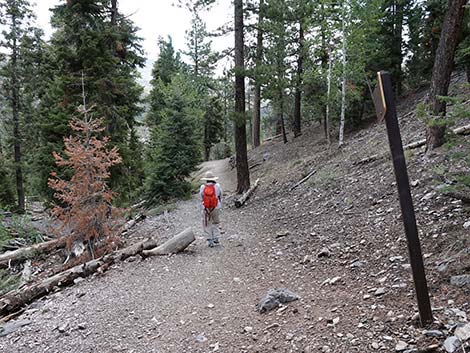
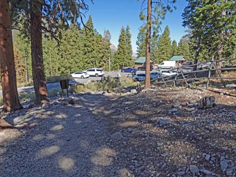
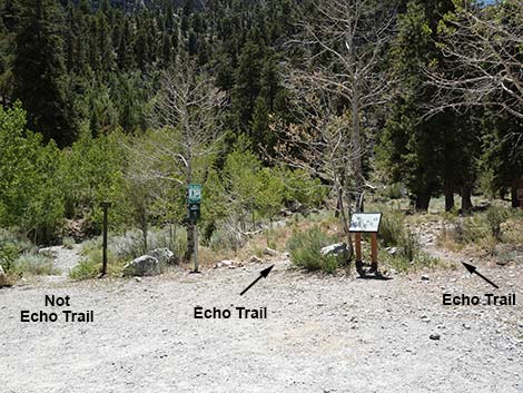 Start of Echo Trail (note sign on the left) |
Watch Out Other than the standard warnings about hiking in the desert, ...this trail seems more strenuous than it should be, so take it easy at this elevation if you've just come up from the desert (the air is thin up here at nearly 8,000-ft elevation). Other than that, the trail is safe and easy to follow, but keep an eye out for trail junctions. While hiking, please respect the land and the other people out there, and try to Leave No Trace of your passage. Also, even though this hike is short, be sure to bring what you need of the 10 Essentials. |
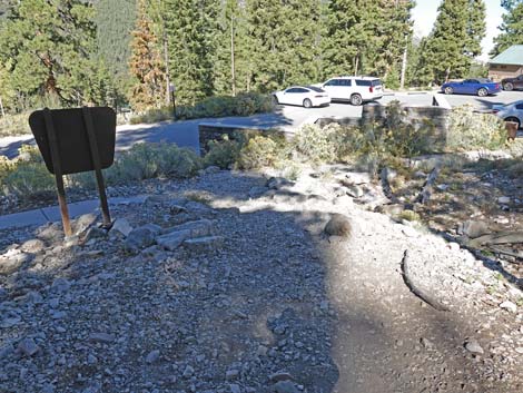
 Echo Trail sign at the trailhead (view W) |
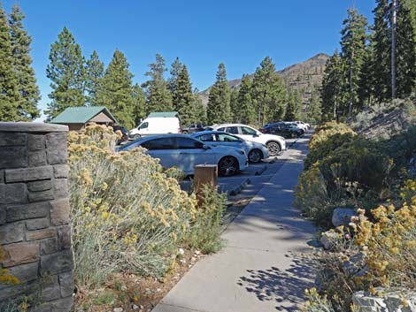
Getting to the Trailhead This hike is located in Kyle Canyon up in the Spring Mountains National Recreation Area, about 1 hour northwest of Las Vegas. From town, drive out to the Spring Mountains Visitor Center, then continue up Kyle Canyon Road, staying right past the fire station onto Echo Road, to the Echo Trailhead. Hikers can also access this trail from the Cathedral Rock Trailhead. |
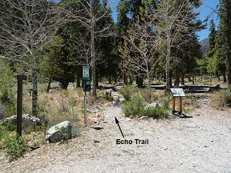
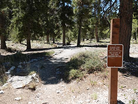 Sign: Please stay on the trail (view W) |
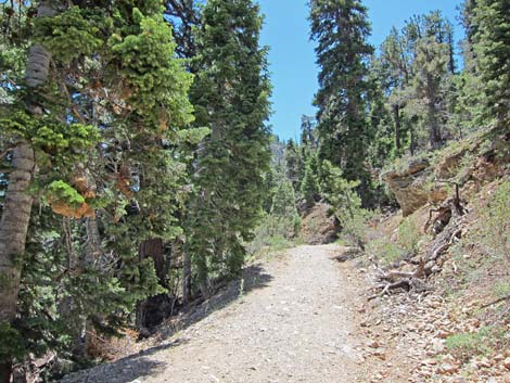
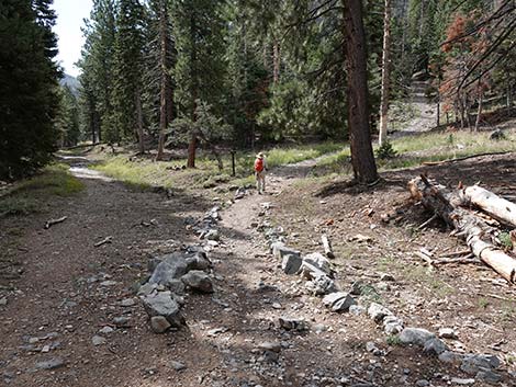
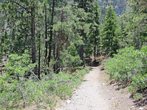
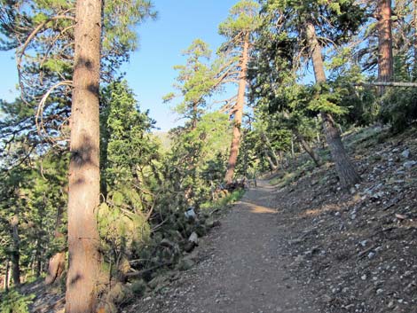
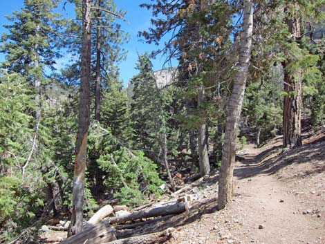
The Hike From the Echo Trailhead (Table 1, Waypoint 01), the trail starts running northwest as if to go up Kyle Canyon, but shortly the trail bends to the left, crosses Kyle Creek, and climbs the far hillside heading up and to the southeast on an old road going down Kyle Canyon. The old road, cutting up and across the hillside, can be seen from the trailhead. The trail runs up into a forest where ponderosa pine and white fir trees provide intermittent shade. A forest of these two conifer species indicate that this area is in the Canadian (Pine-Fir Forest) Life Zone. |
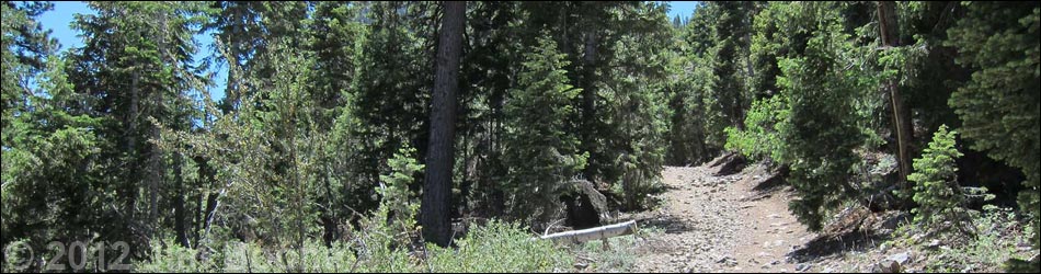
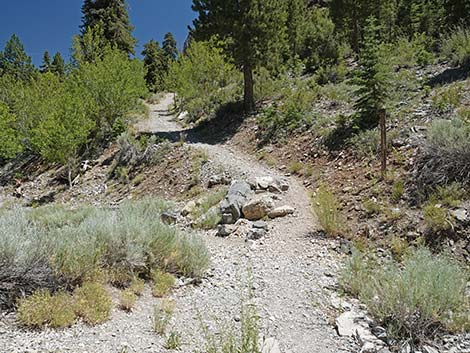
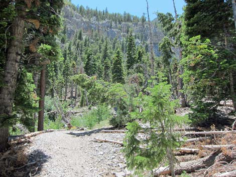
 Trail starts heading up Kyle Canyon (view W) |
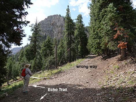
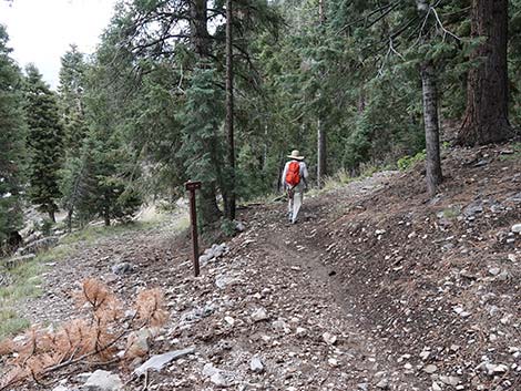
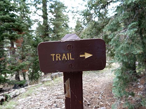
The trail climbs the hillside, then levels out some with open areas providing views towards the Coxcomb and other limestone cliffs to the north across the canyon. Here, the trail runs on an old road. At about 0.28 miles out, the old road forks (Wpt. 02). A small sign and some rocks indicate the turn, but it would be easy to miss. The trail turns right on an old road that climbs the hillside at a stiff grade. When the trail begins to level out, the old road forks again (Wpt. 03). The trail turns downhill to the left, beginning the descent into Little Falls Canyon. It is obvious at the fork that many people turn to right and continue hiking up the old road. That road ends at a flat area, but a use-trail continues very steeply up the hillside, eventually climbing above the cliffs and into the high country. |
 Trail bends left (view S) |
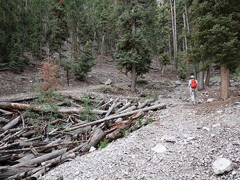
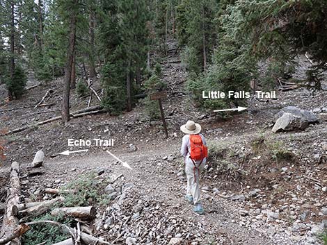
Staying on Echo Trail (Wpt. 03), the old road descends the hillside to a point (Wpt. 04) where the trail turns right and heads into the woods (now a "real" trail). The trail winds around and eventually crosses the bottom of an avalanche chute strewn with the remains of a forest that once was higher up the hillside but has been carried by snow to this point. This is a good example of the power of moving snow. The trail crosses avalanche chute and Little Falls Creek, and then climbs the far bank to a junction (Wpt. 05) with Little Falls Trail. The Echo Trail turns left to run downhill, but hikers can turn right and hike uphill about 0.3 miles to Little Falls. Staying left on Echo Trail, the trail runs gently downhill to a point below the towering north face of Cathedral Rock. In the old days, this was a trailhead, but now the trail continues southeast, wrapping around Cathedral Rock. |
 Echo Trail crosses Kyle Creek (view SE) |
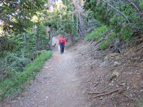
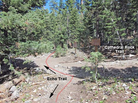
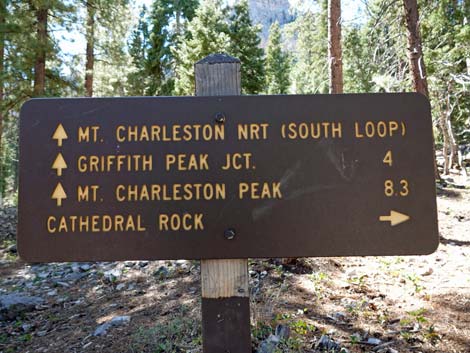
The trail climbs along the hillside, now with dense trees and lots of shade, to a highpoint beneath the east face of Cathedral Rock. The trail turns downhill, winds through a couple of switchbacks along the edge of the Mazie Canyon avalanche chute, then arrives at a trail junction (Wpt. 06) with the Cathedral Rock Trail. The Cathedral Rock Trail turns right to run uphill, while the Echo Trail stays left (straight) continuing downhill. Shortly, the trail arrives at another trail junction (Wpt. 07). Here, the South Loop Trail turns right and runs up into the high country, while the Echo Trail turns left on the level. Staying left, the trailhead parking lots quickly come into view as the trail drops towards the pavement (Wpt. 08) and the end of the trail at the Cathedral Rock Trailhead. |
 Trail bends left and climbs to the southeast (view S) |
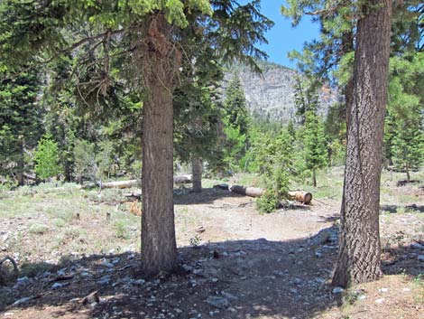
 Echo Trail on hillside above Kyle Creek |
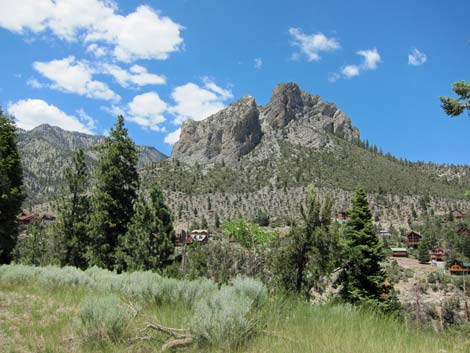 Grand view of Coxcomb Ridge (view N) |
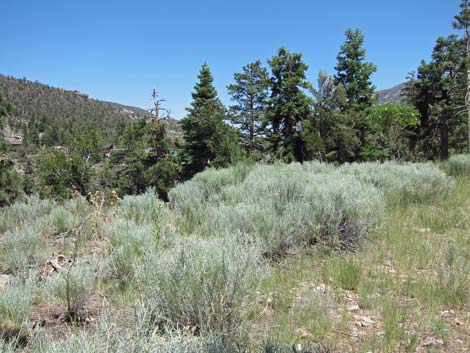 Scenery |
 Old road forks; trail bends right (Wpt. 02) |
 Small trail sign at the junction (view SE) |
 Old road climbs at a stiff grade (view SE) |
 Unmarked trail junction below Cathedral Rock; trail turns left (view SE) |
 Old road forks and trail turns left (Wpt. 03) |
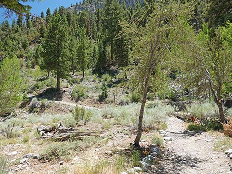
 Trail descends old road into Little Falls Canyon (view SE) |
 Old road forks and trail turns right (Wpt. 04) |
 Another small trail sign at the junction (view SE) |
 Trail entering Little Falls avalanche zone (view SE) |
 Hiker approaching junction with Little Falls Trail (view S) |
 Echo Trail at junction with Little Falls Trail (Wpt. 05) |
 Sign at trail junction (view S) |
 Sign at trail junction (view S) |
 Hiker continuing on Echo Trail (view NE) |
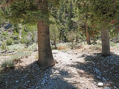
 Trail in the shade of Cathedral Rock (view SE) |
 Hiker coming down the trail (view SE) |
 Approaching the highest point along the trail (view SE) |
 Echo-Cathedral Rock Trail junction (view E) |
 Continuing on Cathedral Rock Trail (view E) |
 Approaching the South Loop Trail junction (view E) |
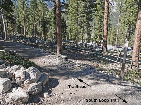
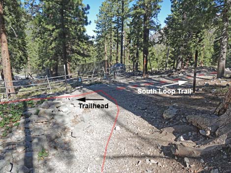 Echo-South Loop Trail junction (view W) |
 Sign at Echo-South Loop Trail junction (view W) |
 Cathedral Rock Trail turns left at the junction (view N) |
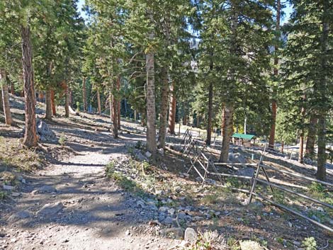 Trail follows outside of metal fence (view N) |
 Approaching the trailhead (Lower Parking; view SE) |
 Approaching the trailhead (Upper Parking; view NW) |
 End of the Cathedral Rock Trail (view NE) |
 Returning to Lower Cathedral Rock Trailhead parking (view SE) |
Table 1. Hiking Coordinates Based on GPS Data (NAD27; UTM Zone 11S). Download Hiking GPS Waypoints (*.gpx) file.
| Wpt. | Location | UTM Easting | UTM Northing | Elevation (ft) | Point-to-Point Distance (mi) | Cumulative Distance (mi) | Verified |
|---|---|---|---|---|---|---|---|
| 01 | Echo Trailhead | 620941 | 4013699 | 7,651 | 0.00 | 0.00 | GPS |
| 02 | Trail | 621128 | 4013428 | 7,769 | 0.27 | 0.27 | GPS |
| 03 | Trail Junction | 621153 | 4013293 | 7,772 | 0.10 | 0.37 | GPS |
| 04 | Trail | 621211 | 4013219 | 7,779 | 0.08 | 0.45 | GPS |
| 05 | Echo-Little Falls Trail Junction | 621251 | 4013102 | 7,766 | 0.09 | 0.54 | GPS |
| 06 | Echo-Cathedral Trail Junction | 621724 | 4012921 | 7,728 | 0.48 | 1.02 | GPS |
| 07 | Echo-South Loop Trail Junction | 621802 | 4012928 | 7,716 | 0.05 | 1.07 | GPS |
| 08 | Cathedral Rock Trailhead | 621731 | 4013026 | 7,713 | 0.11 | 1.18 | GPS |
| 01 | Echo Trailhead | 620941 | 4013699 | 7,651 | 1.18 | 2.36 | GPS |
Happy Hiking! All distances, elevations, and other facts are approximate.
![]() ; Last updated 240329
; Last updated 240329
| Hiking Around Mt Charleston | Hiking Around Las Vegas | Glossary | Copyright, Conditions, Disclaimer | Home |