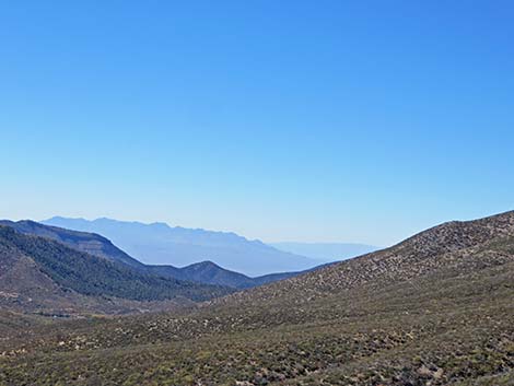
Hiking Around Las Vegas, Mount Charleston Area, Lovell Canyon
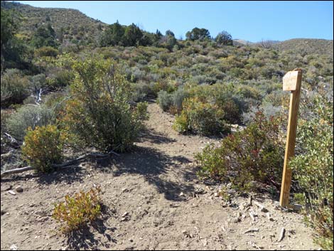
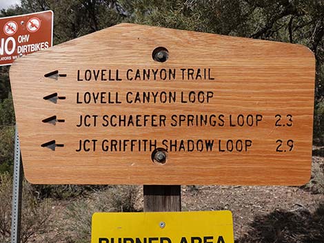 Sign at Lovell Canyon Trailhead. This means the Griffith Shadow South Trail starts 2.9 miles out (view N) |
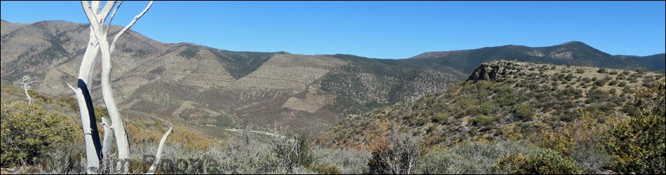
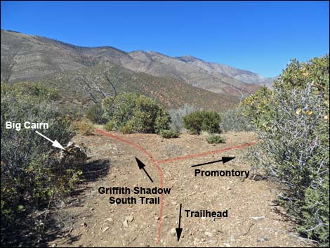
Overview The Griffith Shadow South Trail is the south end of what used to be a 4.2 mile in-and-out rather than a 4.8-mile loop. The other end of the "loop" is the Griffith Shadow North Trail, and the middle part connecting these two trails was recently built. Griffith Shadow South Trail starts on the northwest side of the Lovell Canyon Loop Trail, and so although the trail is only 2.1 miles long, it takes 2.9 miles of trail to get there, such that the total hike is about 10 miles round-trip. If not doing the entire loop, it also makes sense to only hike to the rocky promontory (1.2 miles out) or perhaps to the saddle with grand views west (1.3 miles out). For photos of returning over the trail, see Griffith Shadow South Trail - Returning. Link to Area Map or Hiking Map or Elevation Profile. |
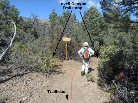 Start of the Lovell Canyon "Loop" Trail (view NW) |
Watch Out Other than the standard warnings about hiking in the mountains, this trail is pretty safe with no unusual hazards. Be careful out at the end of the promontory, as falls in this remote area would be serious. While hiking, please respect the land and the other people out there, and try to Leave No Trace of your passage. Also, this hike is in a remote area, so be sure to bring the 10 Essentials. This hike runs near Private Property and into the La Madre Mountain Wilderness Area, so please pay particular attention to taking care of the land. |
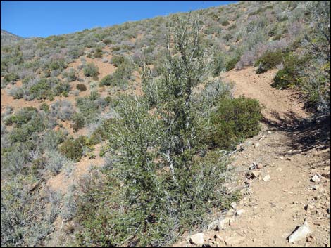
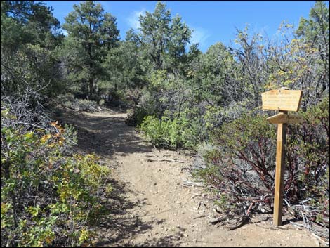 Staying left onto the Lovell Canyon "Loop" Trail (view WNW) |
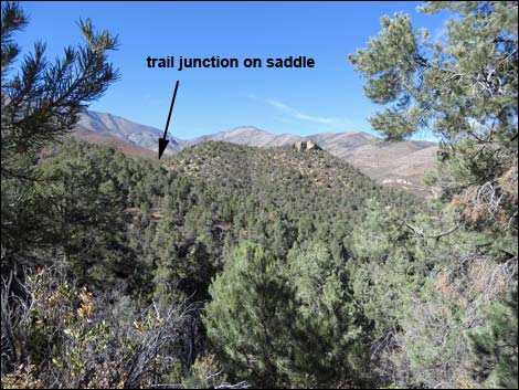
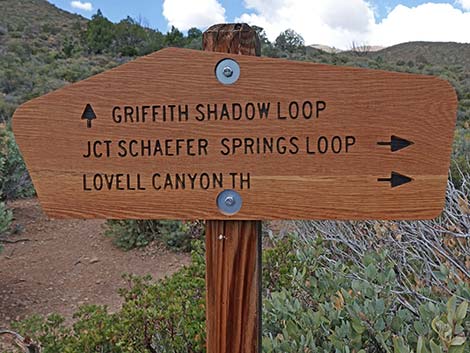
Getting to the Trailhead This hike is located up in the Spring Mountains National Recreation Area at the north end of Lovell Canyon, about 1-1/4 hours west of Las Vegas. From town, drive out Highway 160 towards Pahrump. About three miles past Mountain Spring Summit, turn right onto Lovell Canyon Road. Drive north 11 miles to Lovell Summit Road. Turn left and drive 0.4 miles to Lovell Canyon Trailhead. The Hike From the trailhead (Table 1, Waypoint 01), this hike runs north on the Lovell Canyon Trail. At the first fork (Wpt. 03), the hike turns left onto the Lovell Canyon loop and continues west and then north, eventually running out to a low saddle with a trail junction (Wpt. 07) marked by a wooden trail sign. |
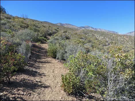
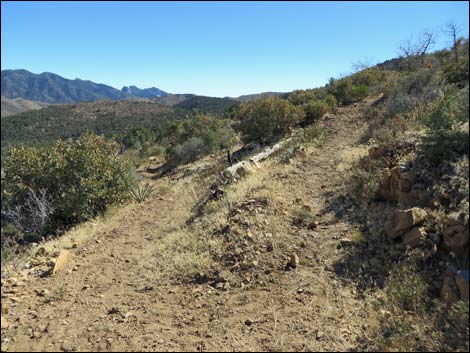
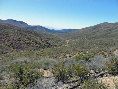
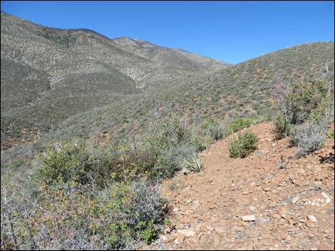
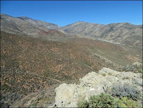
 Nice views from the "Loop" trail (view N) |
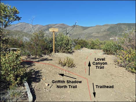
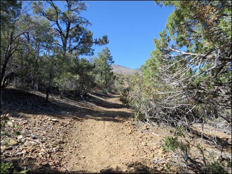
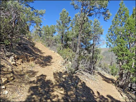
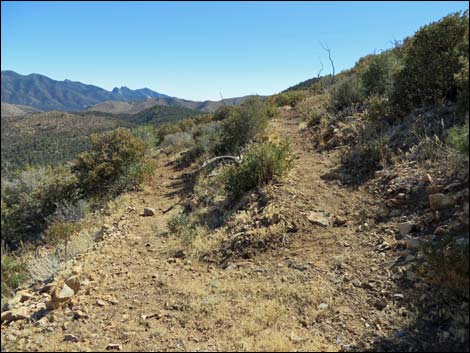
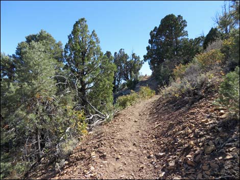
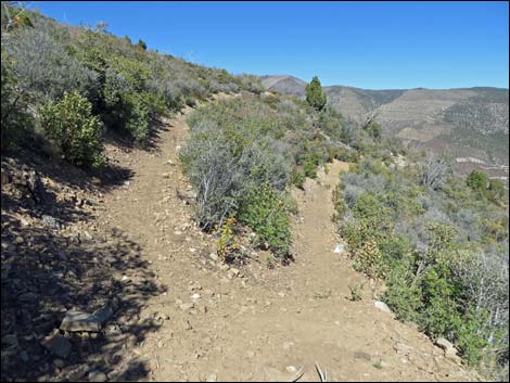
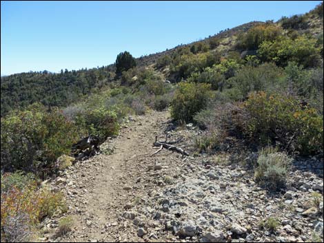
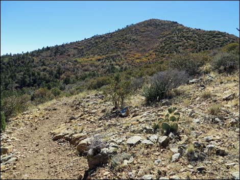
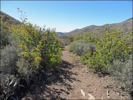
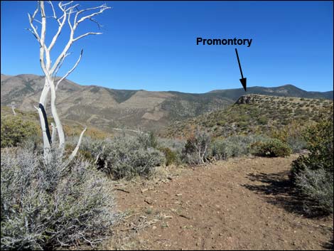
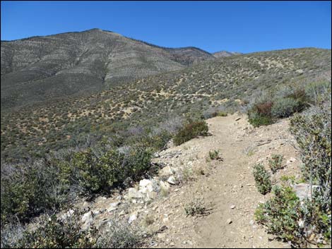
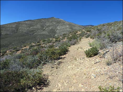
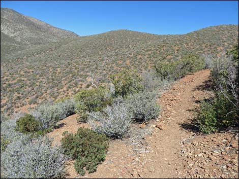
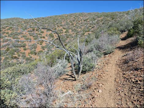
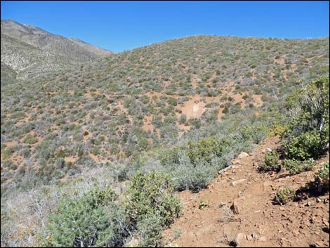
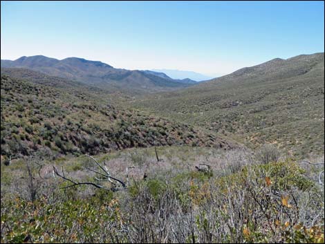
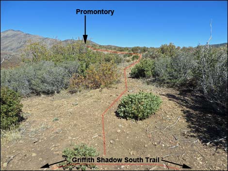
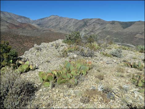
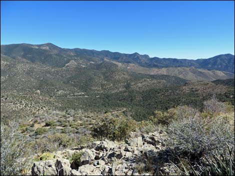
The Griffith Shadow South Trail starts at the trail junction (Wpt. 07) and begins by running northwest, but soon curves back to switchback up the hillside generally trending southwest. The trail climbs gently, passing five long switchbacks, until it climbs onto a low ridge and arrives at another trail junction (Wpt. 30) marked only by cairns. At this trail junction, the main trails stays left (straight), while a use-trail turns right and runs out to a rocky limestone promontory. The promontory is some 200 yards distant, and the view is well worth the walk. Continuing on the Griffith Shadow South Trail, the trail contours across a hillside onto a high saddle (Wpt. 32) with grand view north and east across upper Lovell Canyon. A few yards past the saddle, the view opens to the west over Trout Canyon. The trail continues across the hillside, generally staying on the contour to where the original ended (Wpt. 33). The new trail then descends steeply to connect with the Griffith Shadow North Trail and continue the loop. |
 Trail junction and start of Griffith Shadow South Trail (view NE) |
 Trail junction and start of Griffith Shadow South Trail (view SW) |
 Sign at trail junction (view NE) |
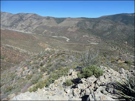
 Griffith Shadow South Trail (view NW from Lovell Canyon Trail) |
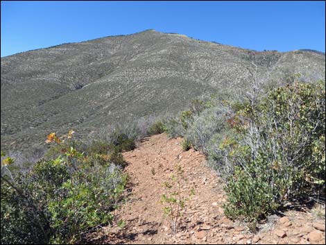
 Griffith Shadow South Trail begins running NW |
 First switchback (view NE) |
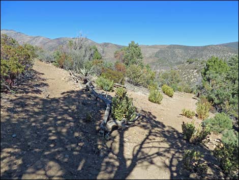
 Trail runs up across hillside (view NE) |
 Second switchback (view SE) |
 Third switchback (view NE) |
 Fourth switchback (view SE) |
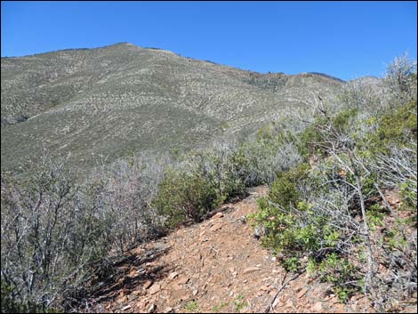
 Trail runs up across hillside (view SW) |
 Fifth switchback (view NE) |
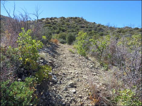 Trail runs up across hillside (view W) |
 Trail climbs across the hillside (view SW) |
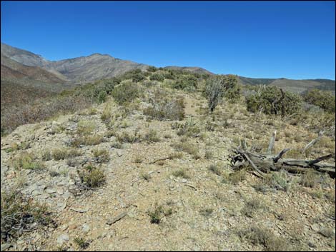
 Turning back onto the low ridge (view W) |
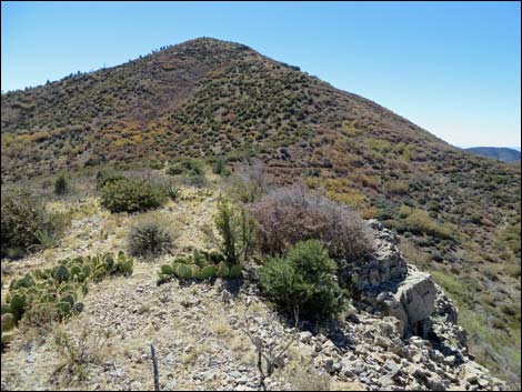
 Trail junction to Promontory (view NW) |
 Saddle (view SW through gamble oak thicket into Trout Canyon) |
 Saddle (view NE into upper Lovell Canyon) |
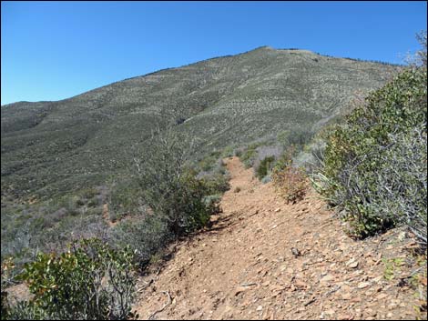
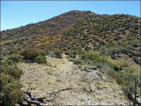
 The end of the trail is in sight (view N) |
 Just past the saddle (view W down Trout Canyon) |
 |
 |
 Fully constructed trail runs across hillsides (view N) |
 Fully constructed trail runs across hillsides (view N) |
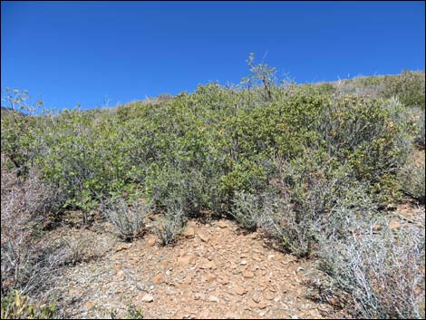
 Shrubs cleared, but trail not fully constructed (view N) |
 Shrubs cleared, but trail not fully constructed (view N) |
 Approaching end of the trail (view N) |
 Trail dead-ends into the brush (view NW) |
 Trail dead-ends into the brush (view NW) |
 For a short distance, hikers can find footprints into the brush |
 Grand vista at end of trail (view W) |
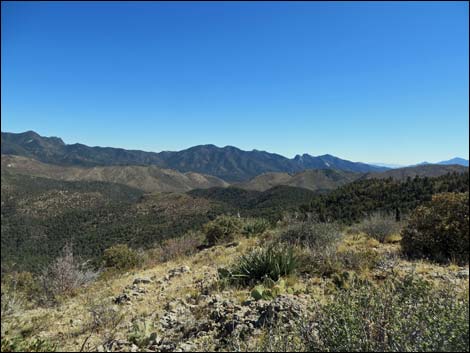
 Grand vista at end of trail - zoom (view W) |
Promontory Spur Use-Trail
 Promontory Spur Use-trail (view N from main trail) |
 Halfway out to the Promontory (view N) |
 Arriving at the Promontory |
 Promontory (view N) |
 Promontory (view NE) |
 Promontory (view E) |
 Promontory (view SE) |
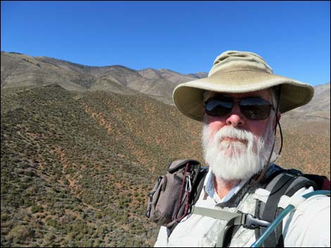 Selfie Selfie |
 Starting back (view W from promontory) |
 Returning to the main trail (view W) |
Table 1. Hiking Coordinates Based on GPS Data (NAD27; UTM Zone 11S). Download Hiking GPS Waypoints (*.gpx) file.
| Wpt. | Location | UTM Easting | UTM Northing | Elevation (ft) | Point-to-Point Distance (mi) | Cumulative Distance (mi) | Verified |
|---|---|---|---|---|---|---|---|
| 07 | Trail Junction | 625998 | 4004898 | 6,459 | 0.00 | 0.00 | GPS |
| 30 | Trail Junction | 625498 | 4004362 | 6,613 | 1.16 | 1.16 | GPS |
| 31 | Promontory | 625540 | 4004533 | 6,669 | . | . | GPS |
| 32 | Saddle | 625326 | 4004404 | 7,001 | 0.11 | 1.27 | GPS |
| 33 | Griffith Shadow South End | 624831 | 4004945 | 7,067 | 0.82 | 2.09 | GPS |
| 07 | Trail Junction | 625998 | 4004898 | 6,459 | 2.09 | 4.18 | GPS |
Happy Hiking! All distances, elevations, and other facts are approximate.
![]() ; Last updated 240329
; Last updated 240329
| Hiking Around Mt Charleston | Hiking Around Las Vegas | Glossary | Copyright, Conditions, Disclaimer | Home |