Backroads Around Las Vegas, Spring Mountains (Mt. Charleston)
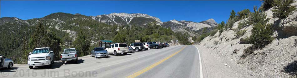
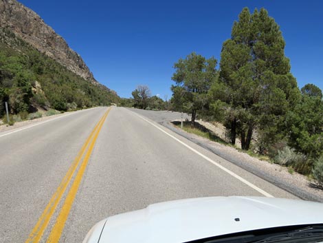
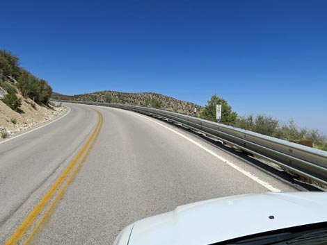
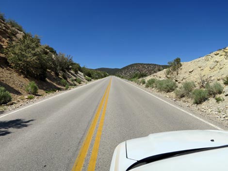
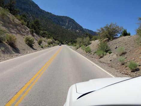
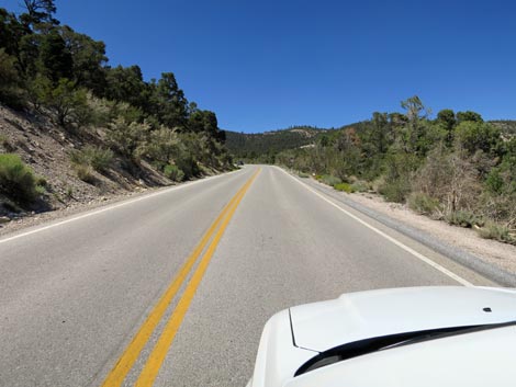
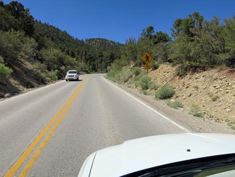
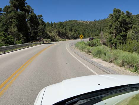
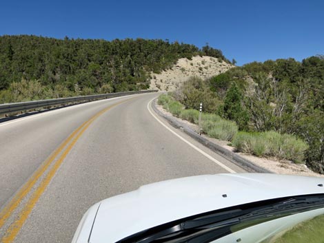
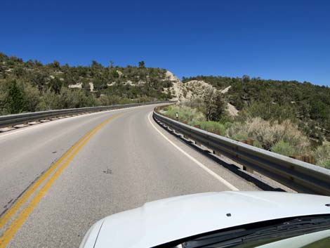
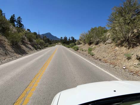
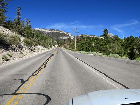
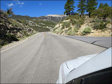
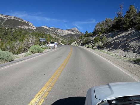
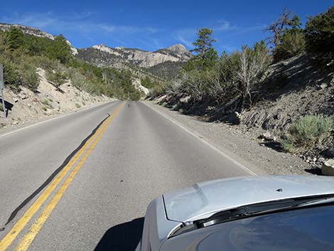
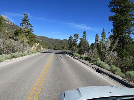
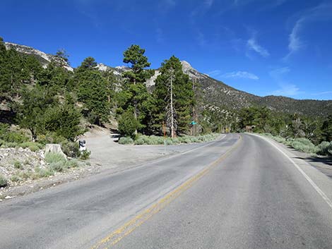
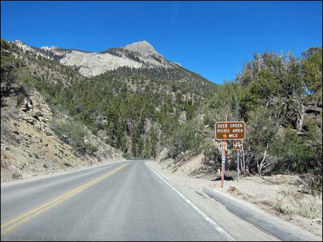
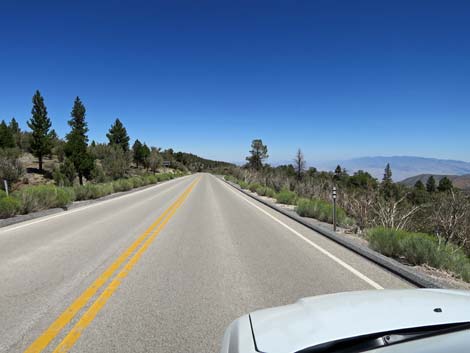
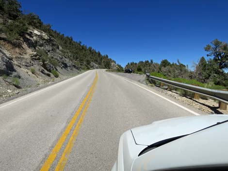
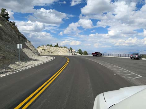
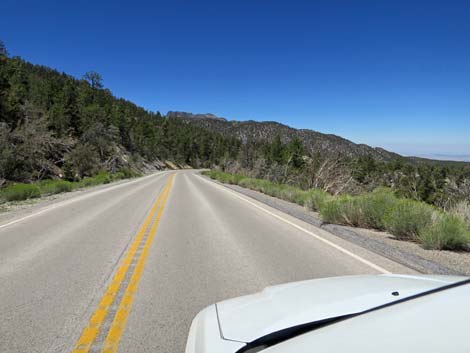
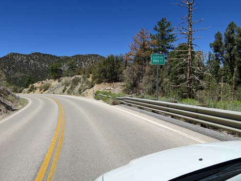
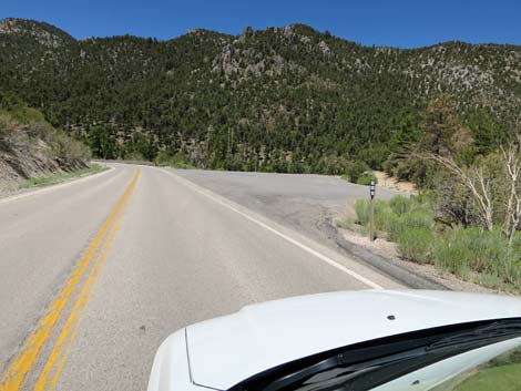
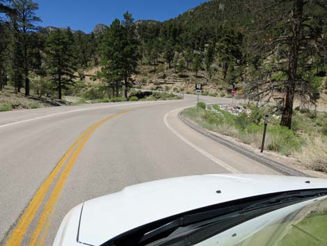
 Kyle Canyon Road approaching Deer Creek Road (view W) |
Overview Deer Creek Road, up in the Spring Mountains National Conservation Area, is an 8.9-mile-long, maintained state highway (Hwy 158) that runs across the east face of the Spring Mountains (Mummy Mountain to be precise) and connects Kyle Canyon Road in the south with Lee Canyon Road to the north. The road runs at fairly high elevations (climbing to over 8,000 feet) with grand views to mountain peaks above and desert flats below. The road provides access to numerous outdoor recreation sites (e.g., hiking, picnicking, and camping areas), a youth correctional facility, an FAA radar tower, and a few private homes. Link to map. |
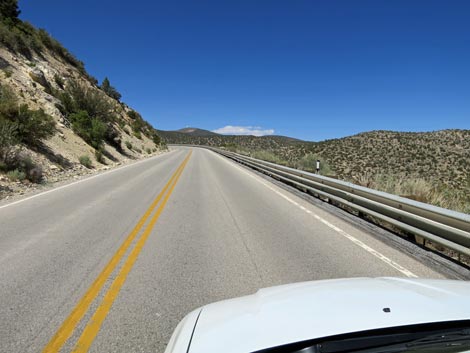
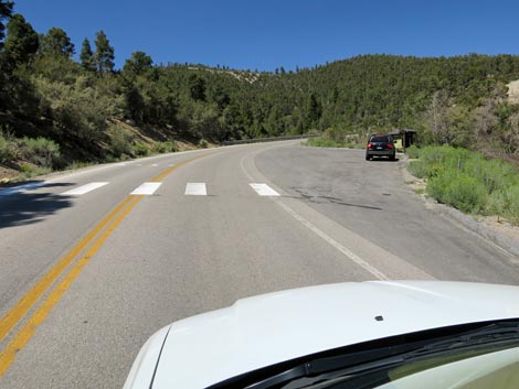
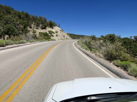
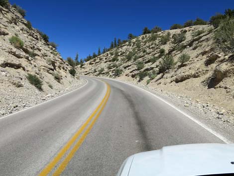
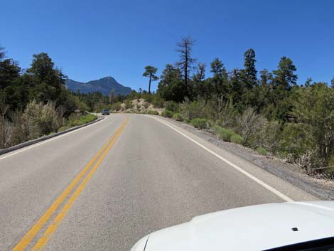
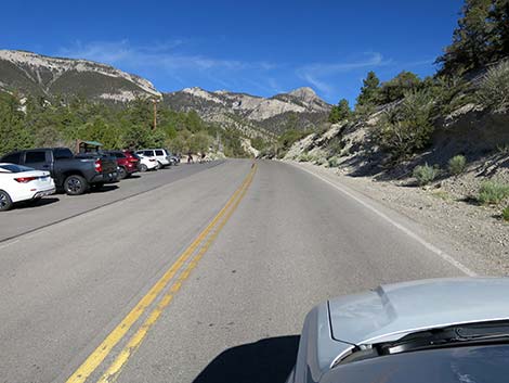
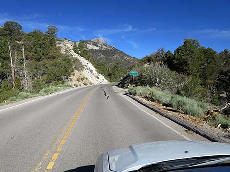
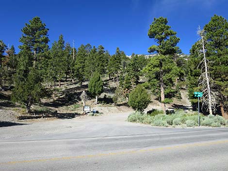
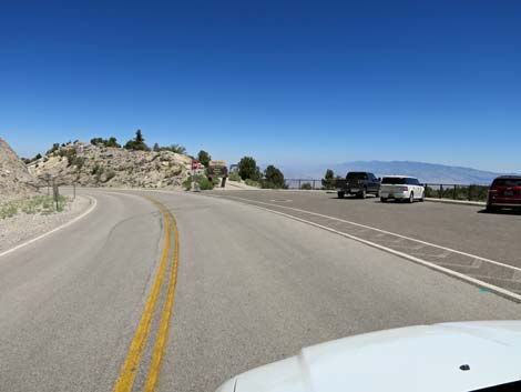
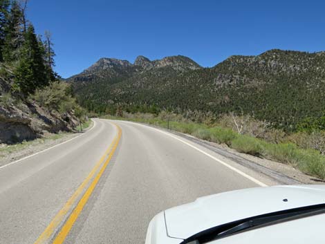
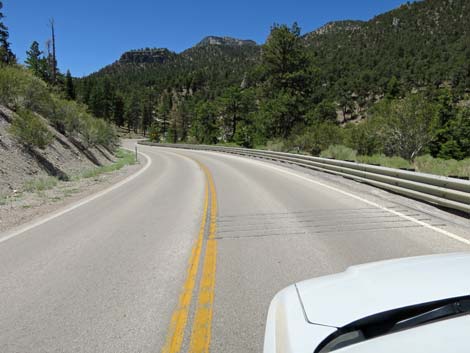
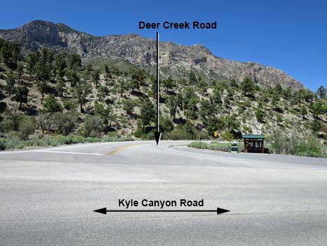 Deer Creek Road (view N from Kyle Canyon Road) |
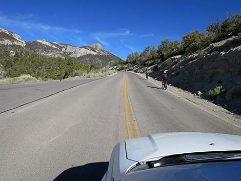
Watch Out Other than the standard warnings about driving in the desert, ...this is a fairly safe drive. The road is a regular state highway with normal highway grades, signs, and safety features. Nonetheless, always watch for crazy drivers careening around blind corners and watch for feral horses and fallen rocks on the roadway. There is no gasoline on the mountain. While out, please respect the land and the other people out there, and try to Leave No Trace of your passage. Also, even though this is a paved road, be sure to bring what you need of the 10 Essentials. |
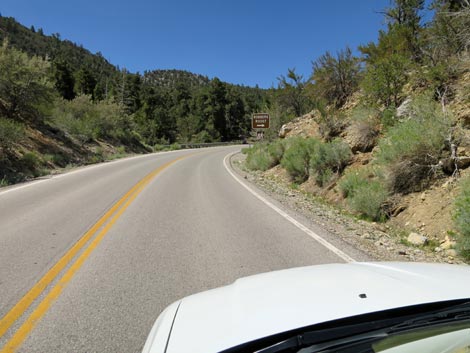
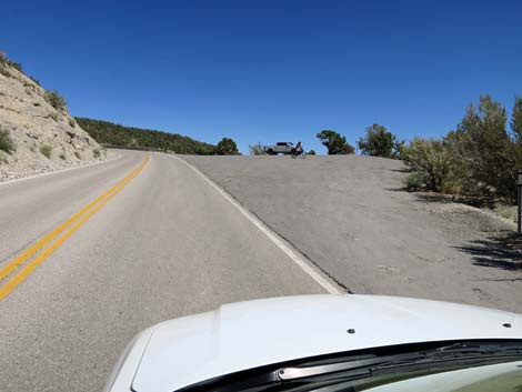
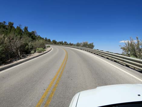
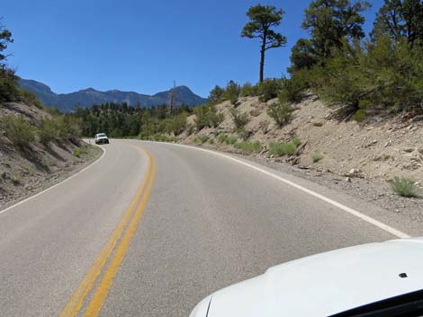
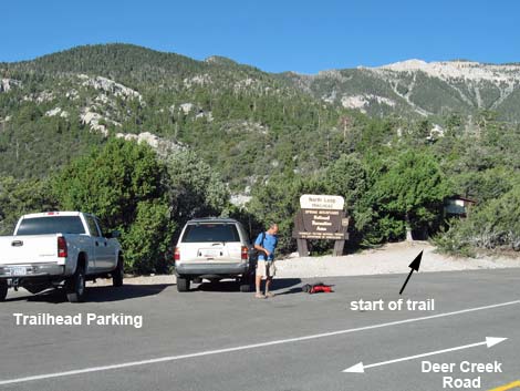
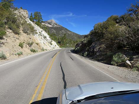
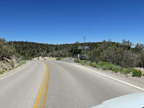
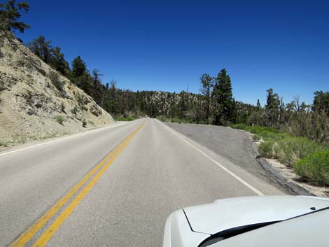
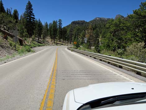
 Start of Deer Creek Road (view N) |
Getting to the Roadhead Deer Creek Road is located Spring Mountains National Recreation Area, about 45 minutes northwest of Las Vegas. From town, drive north on Highway 95. At the outskirts of town, exit right onto Kyle Canyon Road (Highway 157) westbound. On Kyle Canyon Road, drive west 17.4 miles, past the Spring Mountains Visitor Center, to Deer Creek Road, on the right. Alternatively, from town, drive north on Highway 95. From the outskirts of town, drive north about 14 miles to Lee Canyon Road (Highway 156), on the left. Turn left onto Lee Canyon Road and drive southwest 14.2 miles through Red Rock Canyon National Conservation Area into the Spring Mountains National Recreation Area to Deer Creek Road, on the left. |
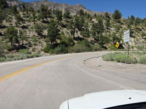
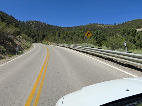
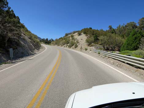
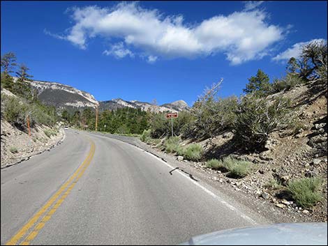
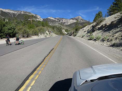
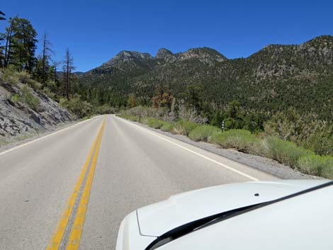
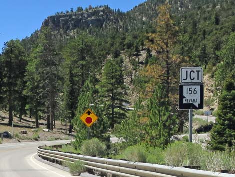
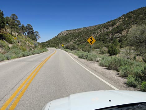 Deer Creek Road sign: caution -- winding road (view E) |
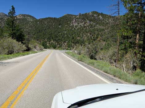
The Road From Kyle Canyon Road (Table 1, Site 0727), Deer Creek Road makes a long right turn and climbs quickly out of Kyle Canyon to cross high mountain slopes. At nearly 7,000 ft elevation, the road leaves the relatively cool and moist canyon bottom at the interface between the lower-elevation Pinyon-Juniper Woodlands and the higher elevation Yellow Pine Forest. Despite climbing rapidly, the hot, dry southeast facing slopes prevent ponderosa pine from growing here, and the landscape is dominated by single-leaf pinyon pine and Utah juniper, plus mountain mahogany and a few other shrub species. Soon the road passes along the bottom edge of an old burn zone. Here, lightning-caused fire burned the hillside above the road in 2006. Firefighters worked hard to prevent the fire from spreading below the highway. The carcasses of many trees remain, but over the years, shrubs are growing back. Soon after the fire, the wildflowers here were stunning, but as the shrubs come back, the flowers are less common and harder to see while driving by. There are a few pullouts along this section of road where visitors can stop and take a closer look at the vegetation and listen for birds. |
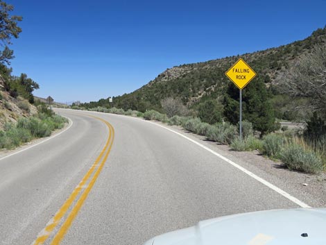 Deer Creek Road sign: caution -- watch for falling rocks (view E) |
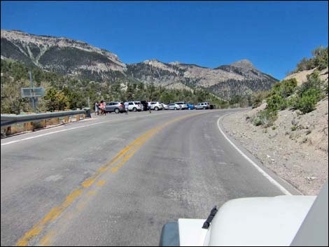
Below the road, Telephone Canyon spreads out below. This is a popular area for mountain bikers and hikers. Climbing across the mountain sides, at about 3.4 miles out, the road curves past Robber's Roost Trailhead parking (Site 0740) on the right. The short trail to Robber's Roost is on the left, so watch for pedestrians crossing the road on this curve. The road winds around to the east, climbing steeply through road cuts, and eventually loops back to the west. At this point, the elevation is high enough for ponderosa pine to come back into the species mix. At about 4.6 miles out, Deer Creek Road passes Lucky Strike Road (Site 1271), on the right. Lucky Strike Road leads to Hilltop Campground, a youth correctional facility (Spring Mountain Youth Camp), and an FFA facility that looks like a celestial observatory atop Angel Peak. |
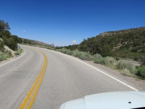 Deer Creek Road sign: speed limit -- 40 mph (view E) |
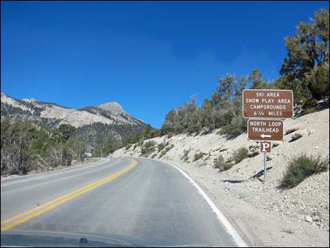
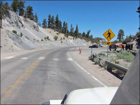
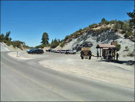
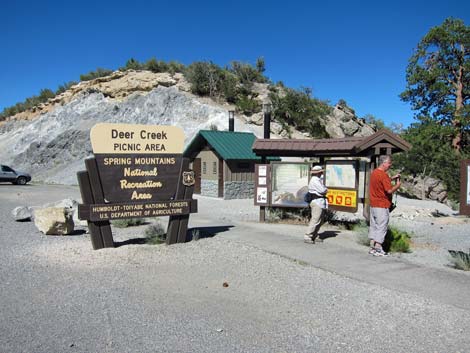
Now near the highest elevations along the road, the road passes a large pullout on the left with grand views back to the southeast. Shortly thereafter, at about 4.9 miles out, the road passes the North Loop Trailhead parking area (Site 0487). This popular trailhead provides access to the summit of Mount Charleston and a variety of closer destinations, including the 3,000-year-old Raintree, an ancient Bristlecone Pine tree. Beyond the North Loop Trailhead, the drivers climb over the highest point (8,500 ft elevation) on Deer Creek Road, then curves and drops steeply to cross Deer Creek Canyon. Coming out of the curve, at about 5.6 miles out, the road arrives at Deer Creek Trailhead and Deer Creek Picnic Area parking area (Site 1039). Watch carefully on the curve for pedestrians in the crosswalk -- this sight line is short. This parking area provides access to the walk-in picnic area and a great place to watch birds during spring and summer. In this area, drivers might notice private homes high above the road on the left. |
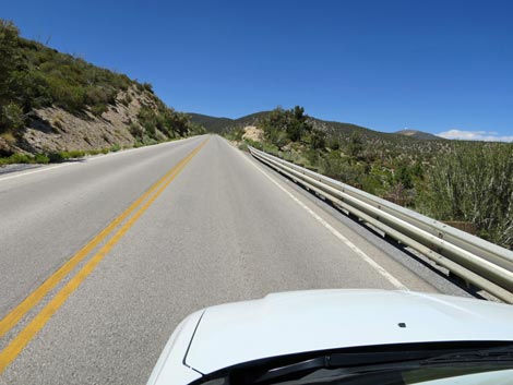
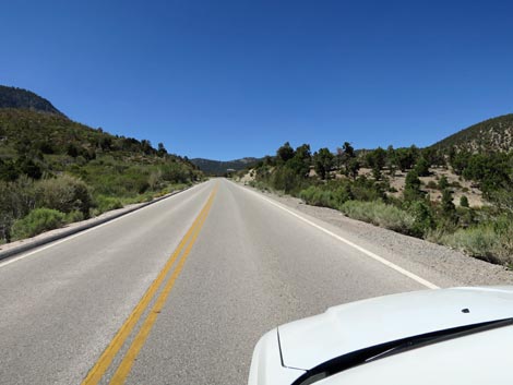
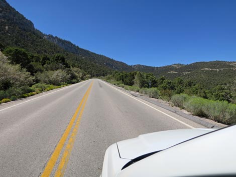
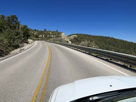
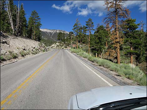
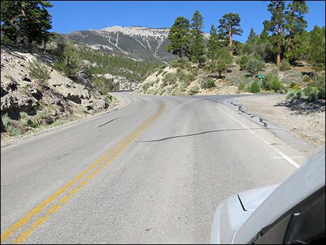
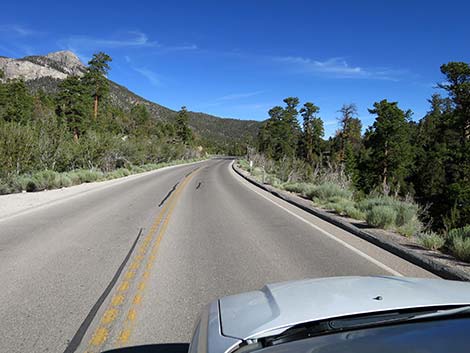
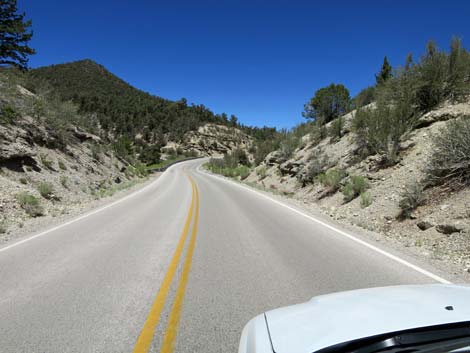
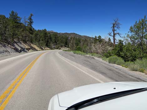
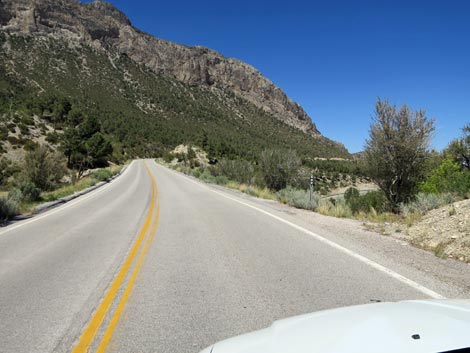 Deer Creek Road starts up under Fletcher Peak (view N) |
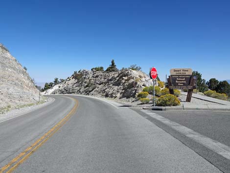
Continuing over rolling terrain, the road traverses high on the side of Mummy Mountain. At about 7.0 miles out, Deer Creek Road passes a nondescript pullout on the right. This is Catch Pen Trailhead West (Site 1537), a trailhead that provides access to two trails running downhill to distant trailheads along Lower Lee Canyon Road. At about 7.3 miles out, Deer Creek Road passes Desert Overlook Trailhead parking (Site 0739), which provides access to Desert View Overlook Trail, a short, accessible trail to a scenic overlook with information about how people watched nuclear bomb detonations on the Nevada Test Site, not so far to the north. Signs also provide information about Native American and recreational uses of the area. Beyond Desert View Overlook, Deer Creek Road begins a rapid descent into Lee Canyon. At about 8.7 miles out, the road passes a large pullout on the right. A rough dirt road (Champion Road) leads east into an area used for primitive camping. At about 8.9 miles out, Deer Creek Road ends at a T-intersection with Highway 156 (Lee Canyon Road, Site 1272). Drivers can turn left to drive up to Lee Meadows and the Ski Resort, or turn right and drive down out of the mountains to Highway 95. |
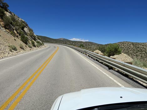
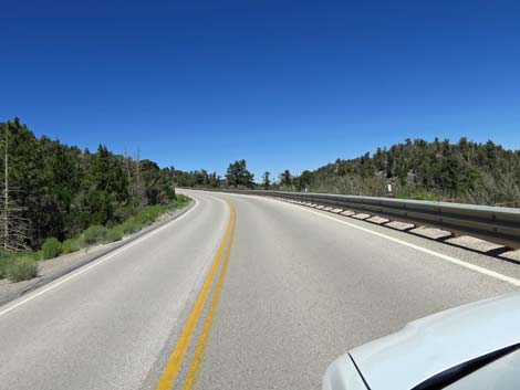
 Deer Creek Road: lots of scenic pullouts (view N) |
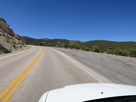
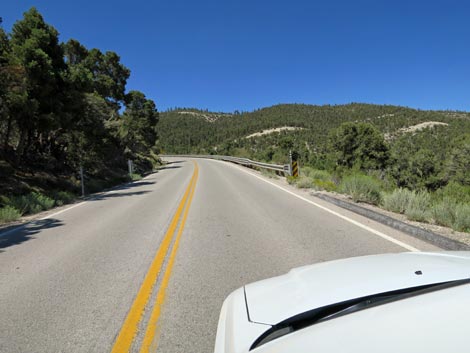
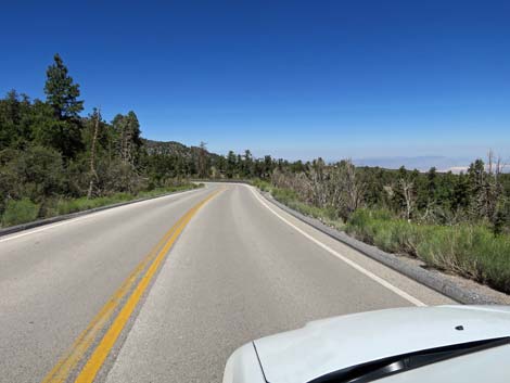
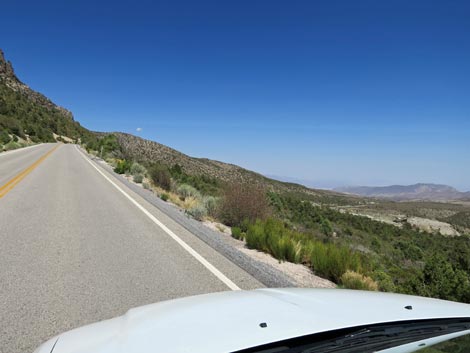 Deer Creek Road provides grand views to the east (view NE) |
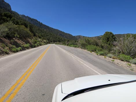
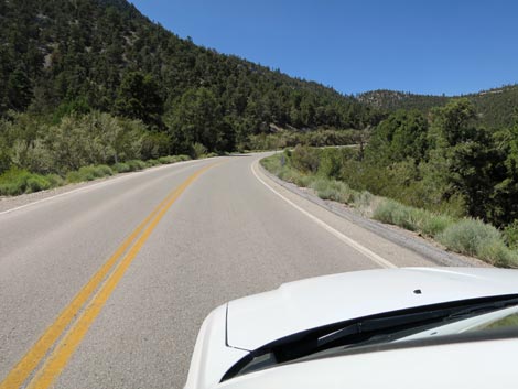
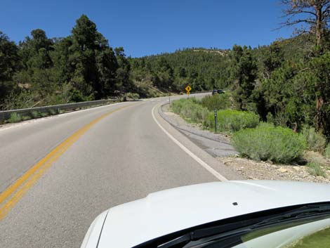
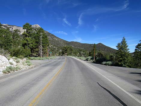
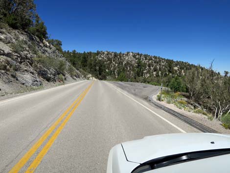
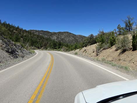
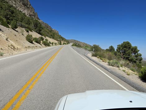 Deer Creek Road occasionally runs straight (view N) |
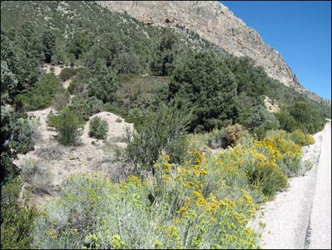 Colorful Rubber Rabbitbrush along the road during fall (view N) |
 |
 |
 |
 |
 |
 |
 |
 |
 |
 |
 |
 |
 |
 |
 |
 |
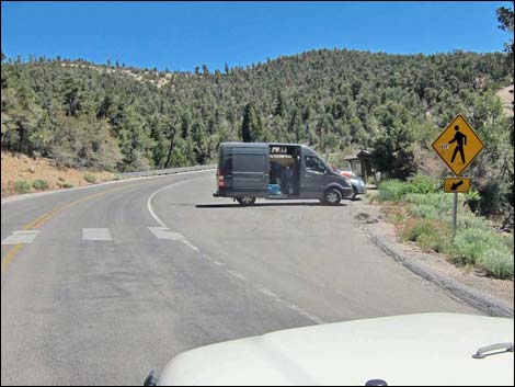
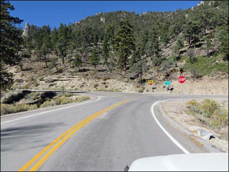
 Deer Creek Road sign: pedestrian crossing ahead (view N) |
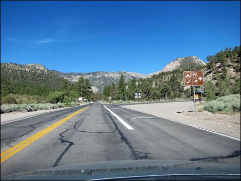
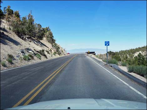
 Approaching Deer Creek Road directional sign (view N) |
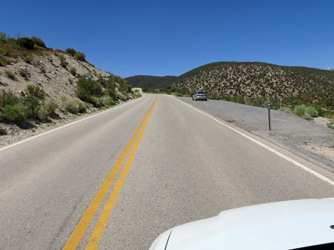
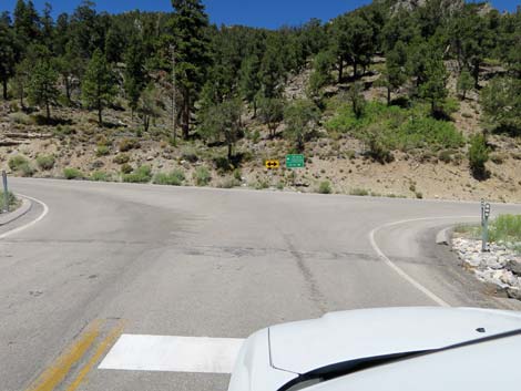
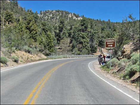 Approaching Robbers Roost Trailhead parking (view N) |
 Approaching Robbers Roost Trailhead parking (view N) |
 Deer Creek Road sign: pedestrian crossing ahead (view NW) |
 Deer Creek Road at Robber's Roost crosswalk (view NW) |
 Robbers Roost Trailhead parking (view N) |
 Robbers Roost Trailhead parking (view N) |
 Deer Creek Road (view NE) |
 Deer Creek Road (view E) |
 Deer Creek Road at a large, paved pullout (view E) |
 Deer Creek Road (view E) |
 Deer Creek Road (view E) |
 Deer Creek Road starting into a big curve to the left (view NE) |
 Deer Creek Road continuing around the big curve (view N) |
 Deer Creek Road starting into a big curve to the left (view NW) |
 Deer Creek Road (view NW) |
 Deer Creek Road (view NW) |
 Deer Creek Road (view NW) |
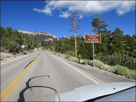
 Deer Creek Road approaching campground sign (view W) |
 Deer Creek Road (view W) |
 Deer Creek Road at information sign (view W) |
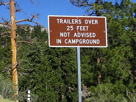 Sign: Trailers over 25 feet not advised in campground (view NW) |
 Deer Creek Road approaching Hilltop Campground (view NW) |
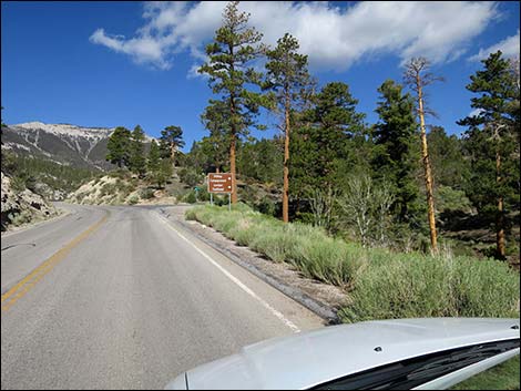 Deer Creek Road approaching Hilltop Campground (view NW) |
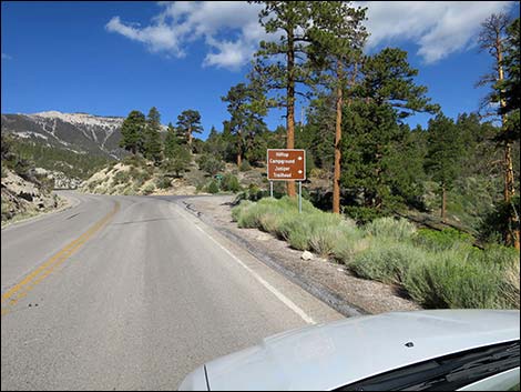 Deer Creek Road approaching directional sign (view NW) |
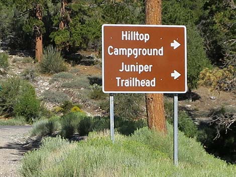 Directional sign: Hilltop Campground and Juniper Trailhead (view NW) |
 Deer Creek Road approaching Lucky Strike Road (view NW) |
 Deer Creek Road at Lucky Strike Road (view NW) |
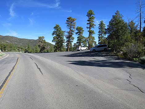
 Approaching North Loop Trailhead parking (view NW) |
 Approaching overflow parking for North Loop Trailhead (view W) |
 Always watch for bike riders on the pavement (view NW) |
 Approaching North Loop Trailhead main parking (view NW) |
 Deer Creek Road at North Loop Trailhead main parking (view NW) |
 North Loop Trailhead (view SW from Deer Creek Road) |
 Deer Creek Road passing North Loop Trailhead (view NW) |
 Deer Creek Road at highest point on the road (view NW) |
 Slightly past the highpoint, elevation sign: 8437 feet (view NW) |
 Deer Creek Road descending past the high point (view NW) |
 Deer Creek Road (view NW) |
 Deer Creek Road approaching Wildhorse Trailhead parking (view NW) |
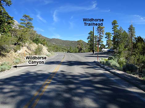 Deer Creek Road approaching Wildhorse Trailhead parking (view NW) |
 Deer Creek Road at Wildhorse Trailhead parking (view NW) |
 Deer Creek Road approaching Cougar Trail Road (view NW) |
 Deer Creek Road at Cougar Trail Road (view NW) |
 Cougar Trail Road (view W from Deer Creek Road) |
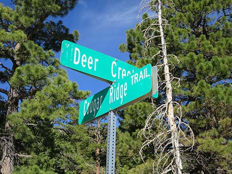 Street sign: Deer Creek and Cougar Ridge |
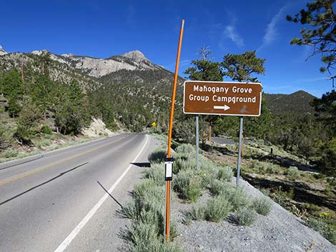
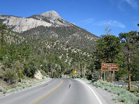 Deer Creek Road approaching Mahogany Grove Group Campground |
 Directional sign (view NW) |
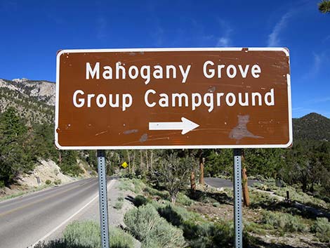 Sign: Mahogany Grove Group Campground to the right |
 |
 |
 Deer Creek Road approaching Deer Creek Trailhead (view NW) |
 Deer Creek Road at crosswalk -- watch for pedestrians! |
 Deer Creek Road at Deer Creek Trailhead and Picnic Area parking |
 Deer Creek Trailhead parking with public toilet (view NE) |
 Deer Creek Road (view N) |
 Deer Creek Road approaching weather station (view N) |
 |
 |
 Deer Creek Road (view N) |
 Deer Creek Road at Catch Pen Trailhead (no signs; view N) |
 Deer Creek Road approaching yet another scenic overlook (view N) |
 Deer Creek Road approaching Desert View Overlook Trailhead parking |
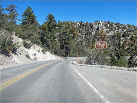
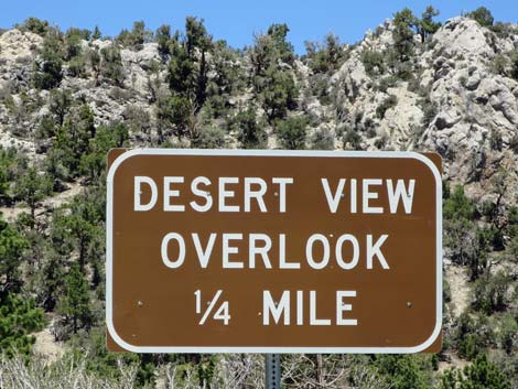 Sign: Desert View Overlook 1/4 miles ahead (view N) |
 Deer Creek Road approaching Desert View Overlook (view NE) |
 Arriving at Desert View Overlook Trailhead parking (view NE) |
 Deer Creek Road at Desert View Overlook Trailhead Parking (view N) Deer Creek Road at Desert View Overlook Trailhead Parking (view N) |
 Deer Creek Road at Desert View Overlook Trailhead Parking (view N) |
 Desert View Overlook Trailhead Parking |
 Desert View Overlook Trailhead (view N) |
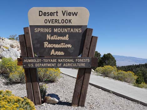 Desert View Overlook Trailhead sign (view NE) |
 |
 |
 |
 |
 Deer Creek Road descending below 8,000 feet elevation (view N) |
 Deer Creek Road (view NW) |
 |
 |
 Deer Creek Road at turnoff to Champion Road primitive camping area |
 Deer Creek Road approaching Lee Canyon Rd: first rumble strips |
 Deer Creek Road approaching Lee Canyon Rd: second rumble strips |
 Approaching stop sign and junction with Highway 159 (view NW) |
 Deer Creek Road approaching Lee Canyon Road (view NW) |
 Deer Creek Road approaching Lee Canyon Road (view NW) |
 Deer Creek Road approaching Highway 156 (Lee Canyon Road) |
 Deer Creek Road at Lee Canyon Road (view NW) |
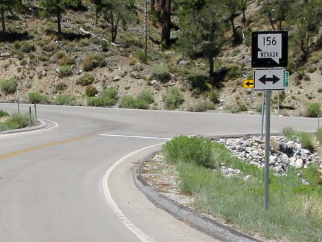
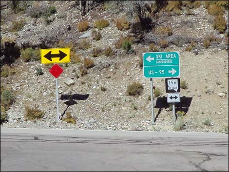 Signs across Lee Canyon Road (view N from Deer Creek Road) |
 More to come ... |
Table 1. Highway Coordinates based on GPS Data (NAD27; UTM Zone 11S). Download highway GPS waypoints (*.gpx) file.
| Wpt. | Location | UTM Easting | UTM Northing | Latitude (N) | Longitude (W) | Elevation (ft) | Point-to-Point Distance (mi) | Cumulative Distance (mi) |
|---|---|---|---|---|---|---|---|---|
| 0727 | Kyle Cyn Rd at Deer Creek Rd | 625575 | 4013970 | 36.26431 | 115.60209 | 6,800 | 0.00 | 0.00 |
| 0740 | Robbers Roost Trailhead Parking | 624891 | 4018247 | 36.30295 | 115.60902 | 7,914 | 3.42 | 3.42 |
| 1271 | Deer Creek Rd at Hilltop Camp | 625097 | 4018874 | 36.30858 | 115.60663 | 8,360 | 1.18 | 4.59 |
| 0487 | North Loop Trailhead Parking | 624724 | 4018897 | 36.30882 | 115.61078 | 8,439 | 0.25 | 4.84 |
| 1039 | Deer Creek Trailhead Parking | 623838 | 4019495 | 36.31433 | 115.62055 | 8,263 | 0.71 | 5.55 |
| 1537 | Catch Pen Trailhead | 623151 | 4021458 | 36.33212 | 115.62789 | 8,513 | 1.41 | 6.97 |
| 0739 | Desert Overlook Trailhead Parking | 623137 | 4021951 | 36.33656 | 115.62797 | 8,208 | 0.37 | 7.34 |
| 1272 | Lee Canyon Rd at Deer Creek Rd | 621020 | 4022357 | 36.34048 | 115.65149 | 7,799 | 1.56 | 8.90 |
Happy Hiking! All distances, elevations, and other facts are approximate.
![]() ; Last updated 240329
; Last updated 240329
| Backroads | Hiking Around Las Vegas | Glossary | Copyright, Conditions, Disclaimer | Home |