Hiking Around Las Vegas, Spring Mountains (Mt. Charleston), Lee Canyon
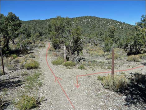
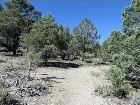
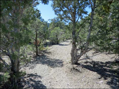
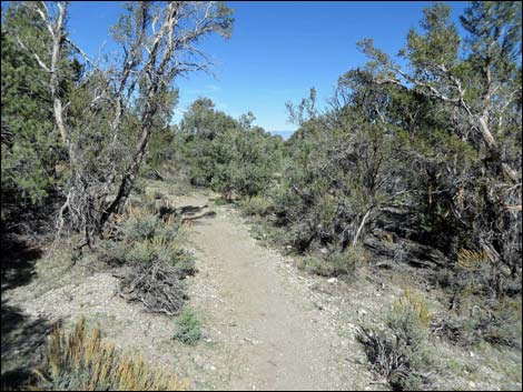
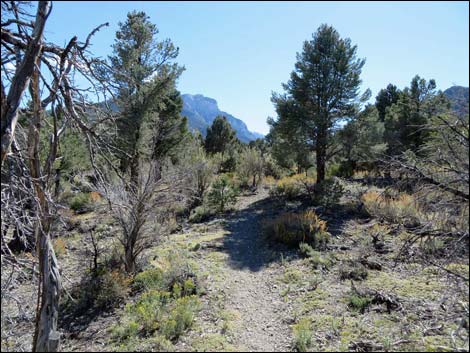
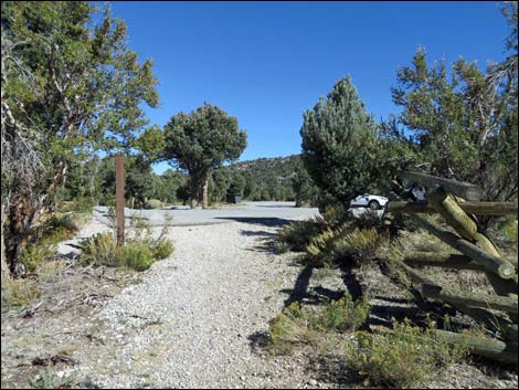
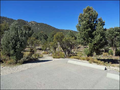 Sawmill Trailhead (view NW; Wpt. 01) |
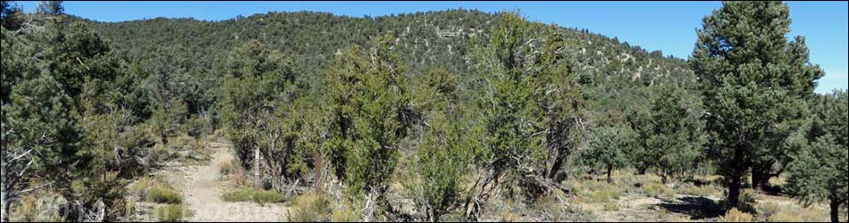
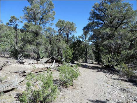
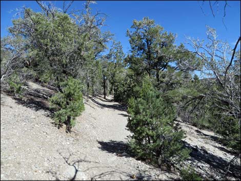
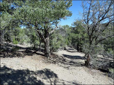
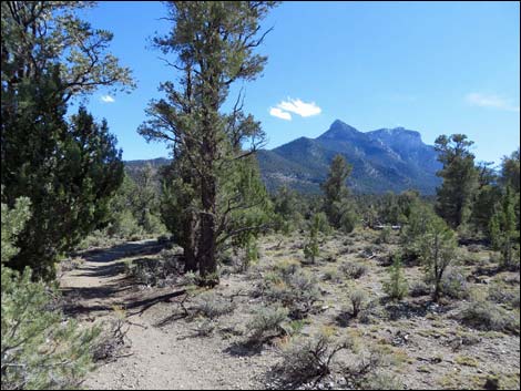
Overview The Short Sawmill Loop Trail is a fairly easy, 1.3-mile loop trail that runs through a middle elevation Pinyon-Juniper Forest. For hikers interested in exploring this habitat type, this is the best choice on Mount Charleston. In addition to the dominant conifers (Singleleaf Pinyon Pine and Utah Juniper), look for Curl-leaf Mountain Mahogany, Big Sagebrush, and annual flowers (e.g., Arizona Skyrocket) that change with the seasons. This is also good habitat for Woodhouse's Scrub-Jay, Juniper Titmouse, and Panamint Chipmunk. Starting from the upper parking area, the trail runs west, then bends to the south before bending back to the north and east to make a big loop that returns to the same trailhead, approaching from the north. Link to trail map or elevation profile. |
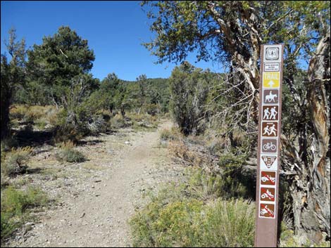
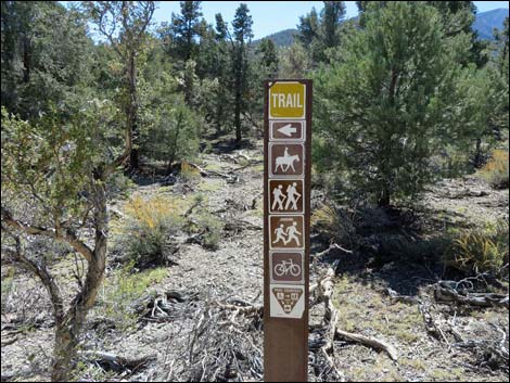
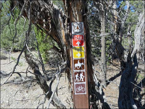
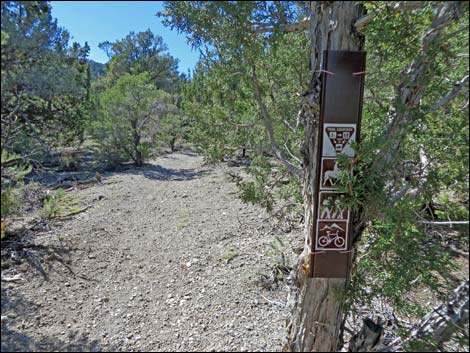
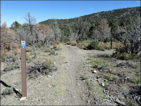
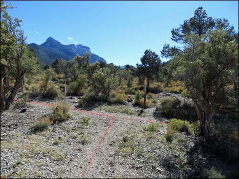
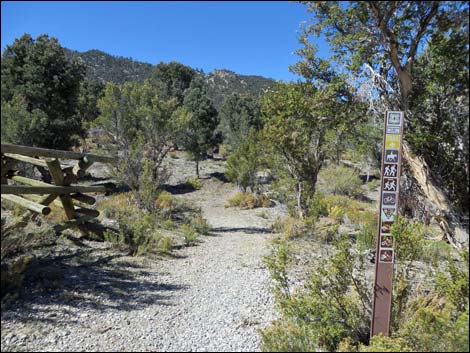 Trailhead sign and pole fence (view NW) |
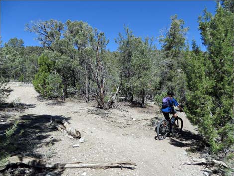
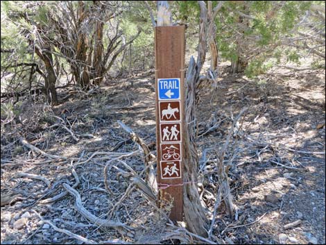
Watch Out Other than the standard warnings about hiking in the desert, ... this is a fairly safe hike without unusual hazards. However, this loop trail is located outside the Mt. Charleston Wilderness Area and is open to mountain bikes, so hikers have to watch for bikes careening down the trail. This hike is fine for kids. While hiking, please respect the land and the other people out there, and try to Leave No Trace of your passage. Also, this hike isn't too long, so just bring what you need of the 10 Essentials. Getting to the Trailhead The trailhead is located up in the Spring Mountains National Recreation Area (generally referred to as Mt. Charleston), but below Lee Canyon, about 45 minutes northwest of Las Vegas. From town, drive out to the Sawmill Trailhead. This hike starts in the Upper Picnic area. |
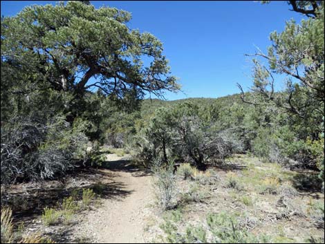
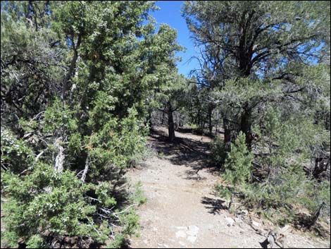
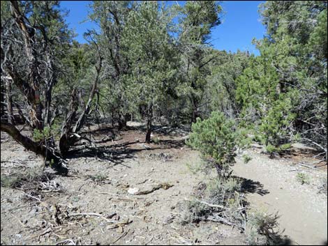
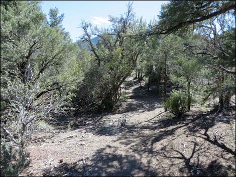
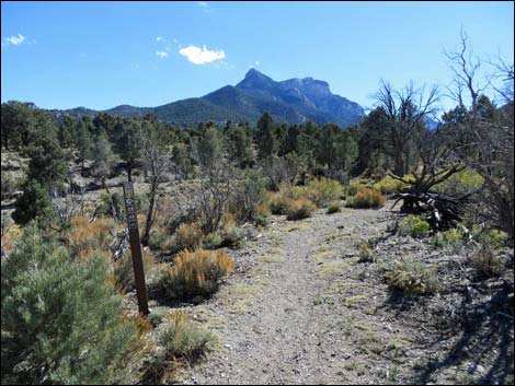
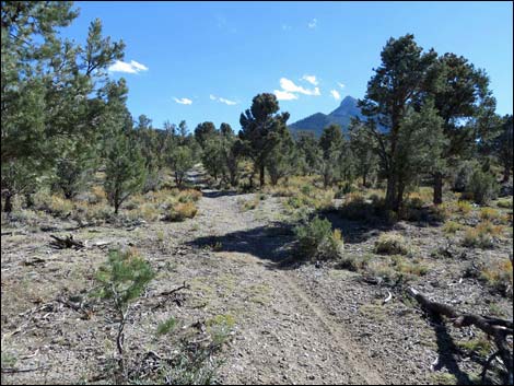
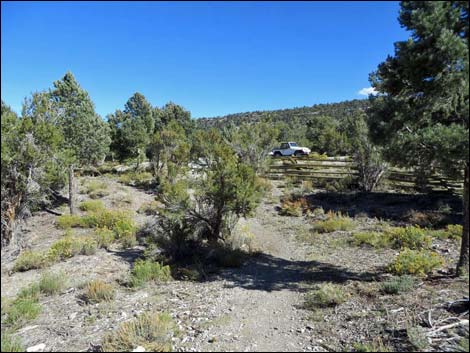
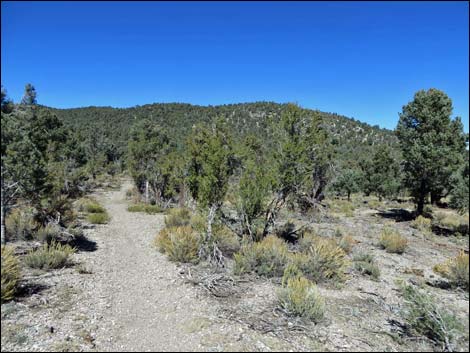 Approaching first trail junction (view NW) |
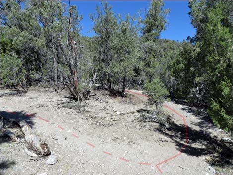
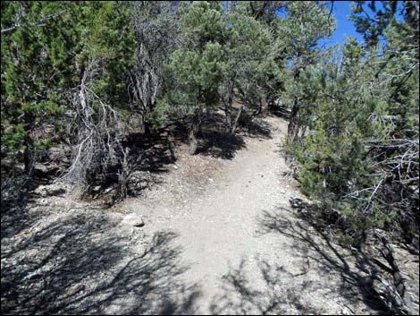
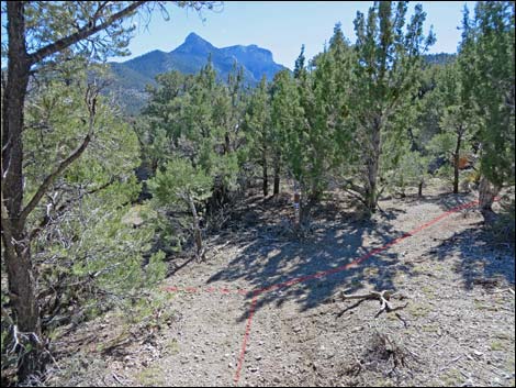
The Hike From the upper trailhead (Table 1, Waypoint 01) near the restrooms, the trail heads northwest past a carsonite trail sign and through a gap in the pole fence. After what seems like only a few steps (about 50 yards), the trail reaches a junction (Wpt. 02) where the loop starts. Because the trail is a loop, hikers can continue in either direction, but the hike is described as staying to the left (straight). Continuing northwest, the trail runs out a bit farther, then bends to the left to run south at a bit of a grade. The trail eventually bends (Wpt. 03) back to the north as it drops gradually across the slopes into a broad wash and another trail junction (Wpt. 04). There are several carsonite signs, but none with trail names. At this fork (Wpt. 04), the Sawmill Loop bends right (north), while the Mud Springs Loop Trail stays left (straight; west). The trail crosses the wash, then starts up a slight hillside to get out of the wash. |
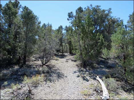
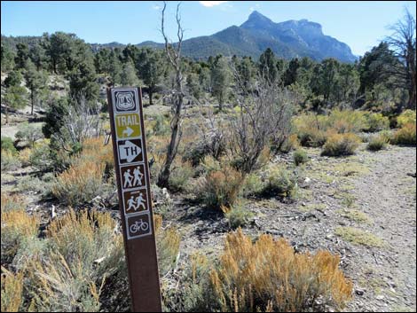
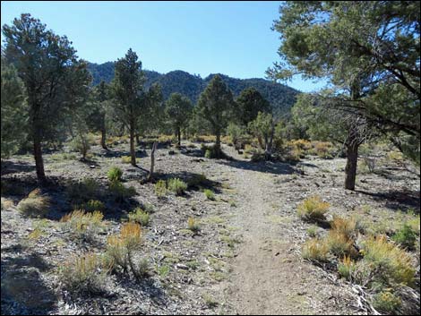
 First trail junction; here starts the loop (view NW; Wpt. 02) |
Continuing, now heading east, the trail climbs a bit, then gradually descends into another trail junction (Wpt. 05). At this T-intersection, again with carsonite signs but no trail names, the Sawmill Loop Trail turns right to head south, while the Blue Tree Loop Trail turns left. Heading south, the Sawmill Loop Trail runs across the sidehill, then bends left to head east down the gentle hillside into yet another trail junction (Wpt. 06). Here, hikers can continue straight to end the hike in the Lower Sawmill (horse) area, or turn right and return to the Upper Sawmill Picnic area. Turning right, the trail descends gradually to cross a wash, then continues up across the adjacent gentle slopes where the Picnic Area can be seen through the trees. The trail continues generally southwest to the final trail junction (Wpt. 02), where the hike closes the loop. Turning left at this T-intersection, the trail runs east a few moments to the trailhead (Wpt. 01), thus ending the hike. |
 Typical carsonite trail sign without trail names (view NW) |
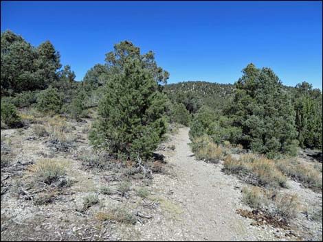
 Trail runs through an open Pinyon-Juniper Woodland Trail runs through an open Pinyon-Juniper Woodland |
 |
 |
 Sign along trail at south-most point (Wpt. 03) |
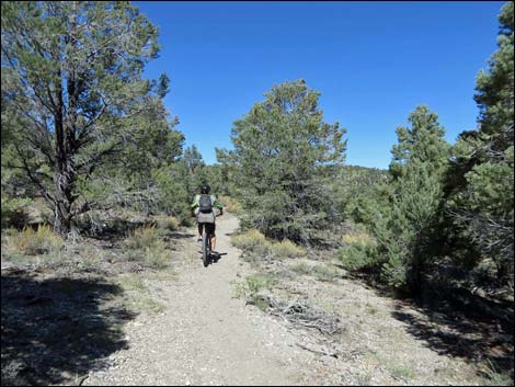 Watch for bicycles! |
 |
 |
 Contouring across sidehill (view N) |
 Bicycle staying right at trail junction (view N; Wpt 04) |
 Trail junction -- stay right (view N; Wpt 04) |
 Carsonite trail sign (view NW) |
 Trail beyond junction (view N) |
 Crossing wash and starting up hillside (view N) |
 Trail climbs across hillside (view NE) |
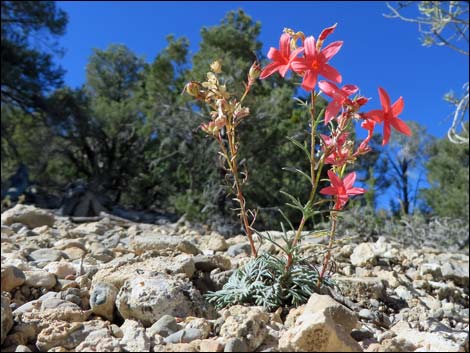 Arizona Skyrocket flowering along the trail |
 Trail descends across hillside (view E) |
 Approaching trail junction (view SE; Wpt. 05) |
 Carsonite trail junction sign (Wpt. 05) |
 Trail departing junction (view S) |
 Carsonite trail junction sign on tree (Wpt. 05) |
 Pinyon Pine and Mountain Mahogany thickets along trail (view S) |
 Open Pine and sagebrush area (view SE) |
 Crossing gentle slopes (view E) |
 Crossing gentle slopes (view E) |
 Approaching trail junction (view E; Wpt. 6) |
 Trail junction (view SW; Wpt. 6) |
 Sign at trail junction (view SW; Wpt. 6) |
 Crossing gentle slopes (view SW) |
 Crossing gentle slopes (view SW) |
 Crossing gentle slopes; watch for picnic tables on the left (view SW) |
 Trail junction -- closing the loop (view SW; Wpt. 02) |
 Approaching trailhead (view E) |
 Trailhead (view E) |
Table 2. Hiking Coordinates Based on GPS Data (NAD27; UTM Zone 11S). Download Hiking GPS Waypoints (*.gpx) file.
| Wpt. | Location | UTM Easting | UTM Northing | Elevation (ft) | Point-to-Point Distance (mi) | Cumulative Distance (mi) | Verified |
|---|---|---|---|---|---|---|---|
| 01 | Sawmill Trailhead | 621985 | 4023976 | 7,591 | 0.00 | 0.00 | GPS |
| 02 | Trail Junction | 621948 | 4023991 | 7,589 | 0.03 | 0.03 | GPS |
| 03 | South-most Point | 621644 | 4023727 | 7,688 | 0.33 | 0.36 | GPS |
| 04 | Trail Junction | 621664 | 4024228 | 7,667 | 0.35 | 0.71 | GPS |
| 05 | Trail Junction | 621861 | 4024286 | 7,657 | 0.17 | 0.88 | GPS |
| 06 | Trail Junction | 622074 | 4024204 | 7,593 | 0.24 | 1.12 | GPS |
| 02 | Trail Junction | 621948 | 4023991 | 7,589 | 0.17 | 1.29 | GPS |
| 01 | Sawmill Trailhead | 621985 | 4023976 | 7,591 | 0.03 | 1.32 | GPS |
Happy Hiking! All distances, elevations, and other facts are approximate.
![]() ; Last updated 240329
; Last updated 240329
| Hiking Around Mt Charleston | Hiking Around Las Vegas | Glossary | Copyright, Conditions, Disclaimer | Home |