(Mount Charleston National Recreation Trail)
Hiking Around Las Vegas, Spring Mountains (Mt. Charleston), Kyle Canyon
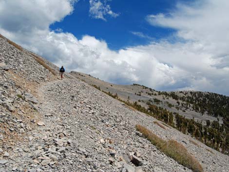
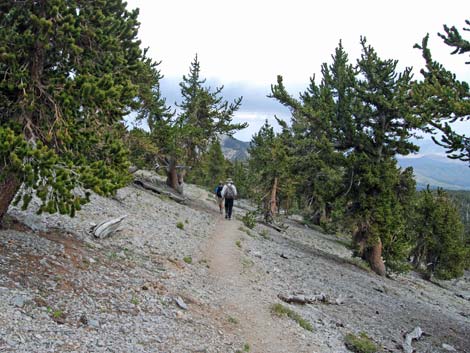
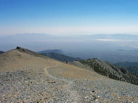 Hiker departing the summit (view S) |
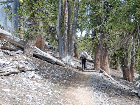
Overview This hike is very strenuous, climbing 4,278 vertical feet in 8.5 miles. The trail starts near Cathedral Rock and climbs 3,100 feet up the side of Kyle Canyon about 4 miles to the summit ridge. The trail then runs northwest for about 1.6 miles at a more leisurely grade through Bristlecone Pine forests and open meadows. After that, the trail steepens, climbs past timberline, drops into, and traverses a broad bowl, then makes a long, steep, final push to the summit. On a clear day, they say hikers can see 300 miles from the summit. The US Forest Service is trying to change the name of this trail to Mt. Charleston National Recreation Trail. Presented here are photos of the descent. For a complete description of the hike, including maps and GPS waypoints, see South Loop Trail. |
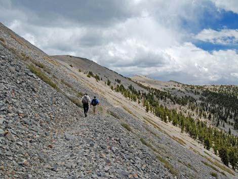
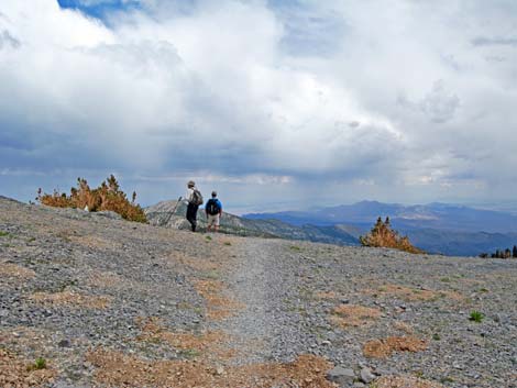
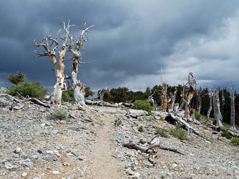
 Near the summit (view E) |
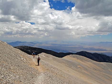
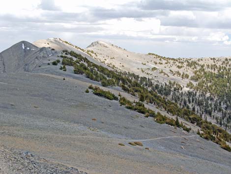
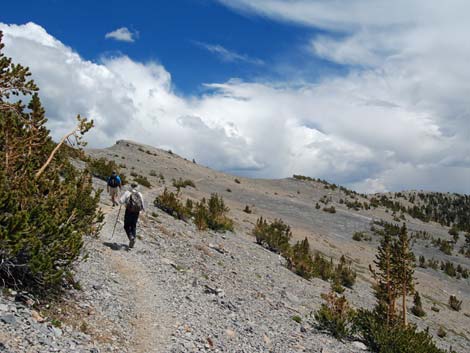
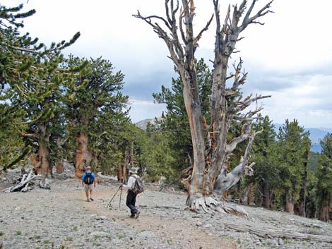
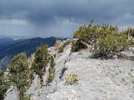
 Above timberline (view SE) |
 |
 |
 |
 |
 |
 |
 |
 |
 |
 |
 |
 |
 |
 |
 |
 |
 |
 |
 |
 |
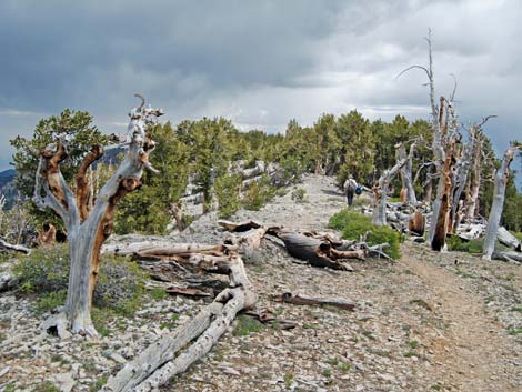
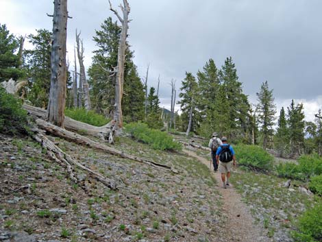
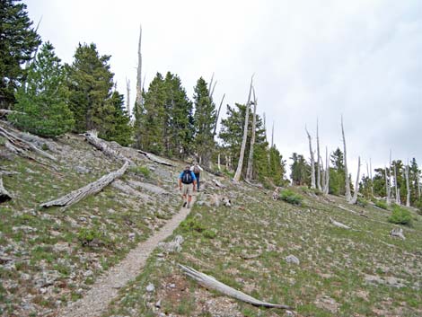 After a long downhill run, an unexpected uphill section (view E) |
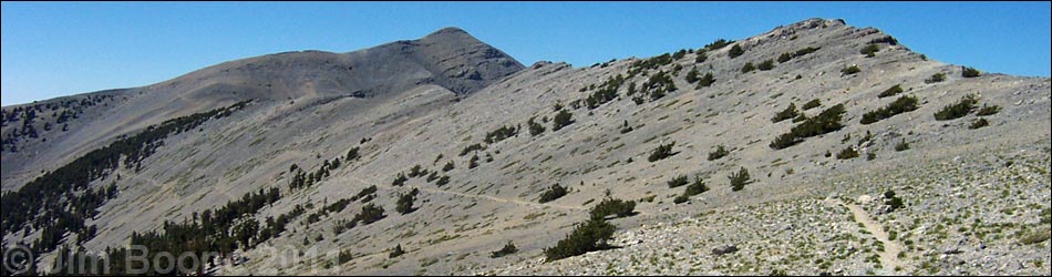
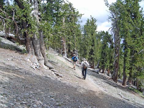
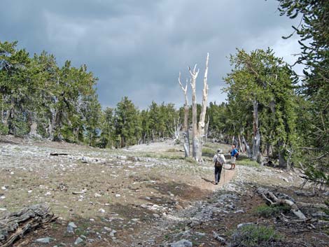
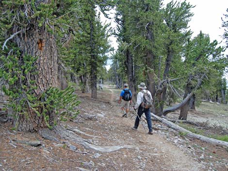
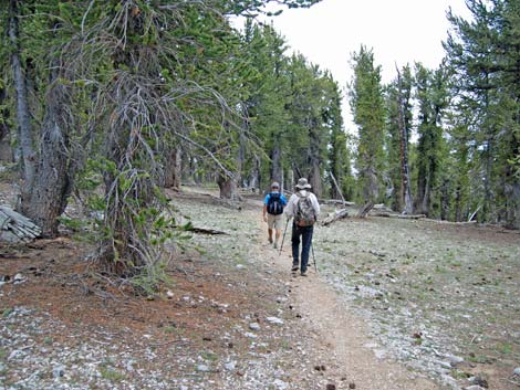
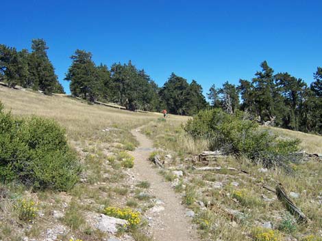 The Meadows (view SE) |
 The Meadows (view SE) |
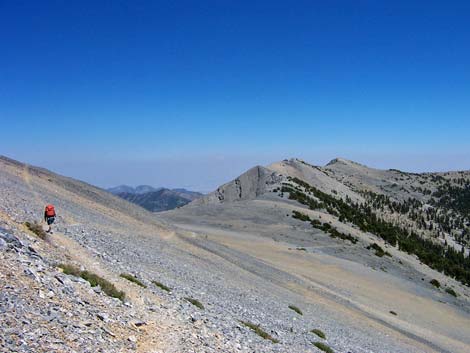
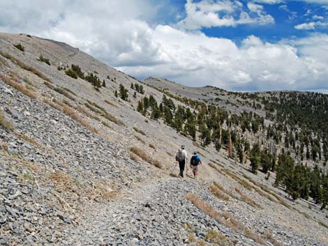
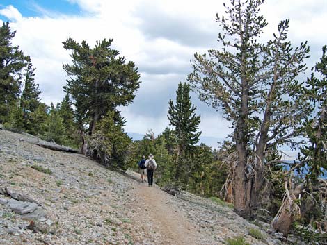
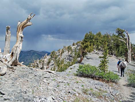
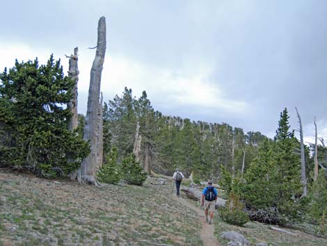
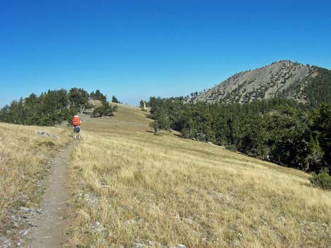
 Approaching Griffith Saddle (view SE) |
Happy Hiking! All distances, elevations, and other facts are approximate.
![]() ; Last updated 270329
; Last updated 270329
| Hiking Around Mt Charleston | Hiking Around Las Vegas | Glossary | Copyright, Conditions, Disclaimer | Home |