Hiking Around Las Vegas, Spring Mountains (Mt. Charleston), Kyle Canyon
 Kyle Canyon Road at Stanley B trailhead parking (view N) |
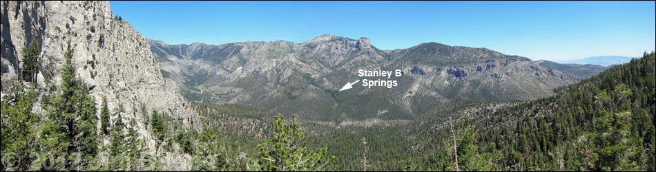
Overview The Stanley B Springs Trail runs about 1.0 miles up a canyon and an old road on the north side of Kyle Canyon (forested, south-facing slopes) to an area of springs surrounded by ponderosa pine, white fir, mountain mahogany, and limestone cliffs. The main wet area, the confluence of two smaller canyons, is a good place to relax in the shade and watch birds as they come in for water. Just above the confluence in the east fork, a use-trail leads to two mines that provide habitat for forest bats (grates keep humans out), and water trickles from the lower mine. Up the west fork, a use-trail continues up the canyon to the official Stanley B Spring and on up into the high country. Note: there is a new start to this hike -- see below. Link to map. |
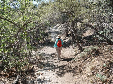
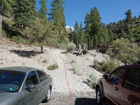 The easiest start is straight up the berm (view N) |
Watch Out Other than the standard warnings about hiking in the desert, ... the trail is fairly easy, but some parts are pretty steep for a road, so take it easy at this elevation if you've just come up from the desert (the air is thin up here at nearly 8,000-ft). Other than that, the trail is safe and easy to follow. The two mines are blocked with heavy grates; be careful if exploring off trail. While hiking, please respect the land and the other people out there, and try to Leave No Trace of your passage. Also, even though this hike is short, be sure to bring what you need of the 10 Essentials. |
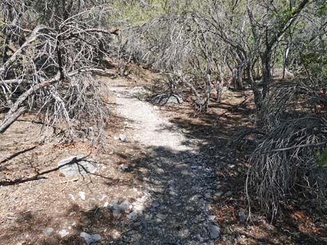
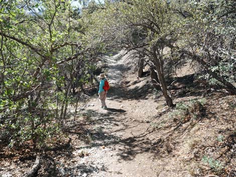
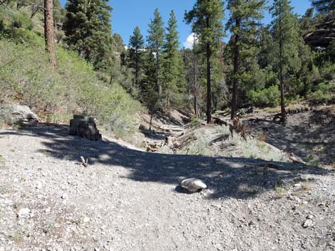 Atop the berm, the trail runs up the canyon (view N) |
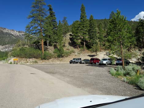
Getting to the Trailhead This hike is located in Kyle Canyon up in the Spring Mountains National Recreation Area, about 45 minutes northwest of Las Vegas. From town, drive out to the Spring Mountains Visitor Center, then continue up Kyle Canyon Road. From the intersection with Deer Creek Road (Highway 158), continue up Kyle Canyon for 1.7 miles to a wide, paved parking area on the right. Park here; this is the trailhead. At the parking area, a symbol-sign translates to "No Parking;" but only during "December Thru March." It is okay to park here except during winter when parked vehicles would interfere with snowplows. |
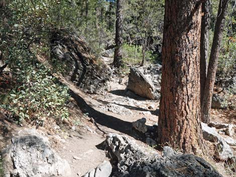
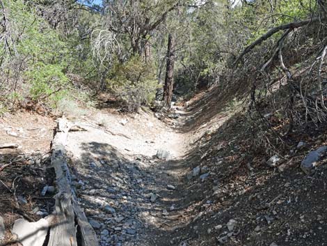
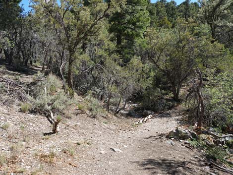
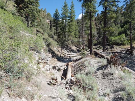 The trail drops behind a second berm (view N) |
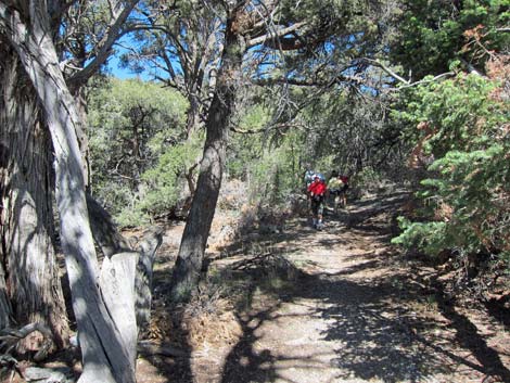
The Hike From the trailhead parking area (Table 1, Waypoint 01), the trail starts up the berm directly behind the parking area. The trail winds steeply up the bottom of the rocky canyon until breaking out above cliffs onto the left bank to join an old road (Wpt. 02). Pay attention to this spot and take the trail, rather than the old road, back to the trailhead. Turning right onto the old dirt road, the trail bends right, crosses Stanley B Wash, and continues up across the hillside. Tall mountain mahogany and gambel oak form a nearly impenetrable thicket that provides shade for hikers, but birders will need to listen as birds are hard to see. The trail climbs gently to an open area with grand views to the south. Across Kyle Canyon, the striking limestone cliffs, the Echo Cliffs, link Harris Mountain (east) and Griffith Peak (west), and a bit farther up the trail, Cathedral Rock comes into view farther to the west. |
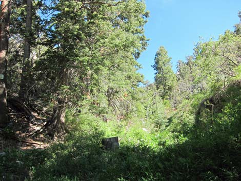
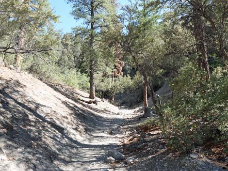 Finally, the trail runs up the canyon (view N) |
The trail winds back to the north and drops across a low area with a flat spot suitable for camping (Wpt 03). Continuing, the trail generally runs northwest as it comes closer to the bottom of the canyon where more-moist conditions support tall ponderosa pine and white fir, a species typical of higher elevations. The main trail passes a use-trail to the left (Wpt. 04) that serves as a shortcut back down the canyon. Given that the hike is short, it makes more sense to just stay on the main trail. In the bottom of the canyon, soil conditions become even more moist farther along, and wild rose, Rocky Mountain maple, elderberry, angelica, and stinging nettle become common. Shortly, water trickles in the wash and the trail arrives at the confluence of two canyons (Wpt. 05) in a shady, moist area with lots of forbs and birds. This is a good place to relax in the shade and listen to the birds before heading up the east canyon to two mines (Wpt. 06, 07) or up the west canyon (Wpt. 08) to the official Stanley B Springs. Return to the trailhead by following your footprints back down the trail to the trailhead. |
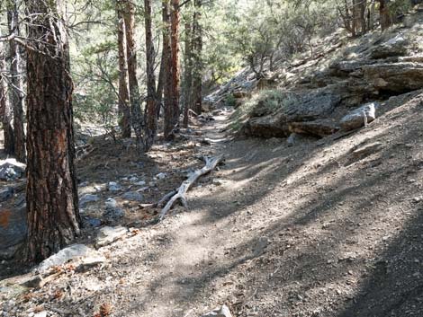
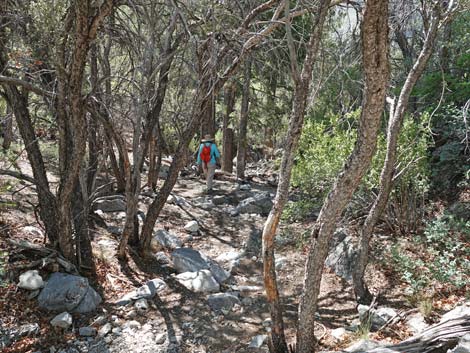
 Lots of Ponderosa Pine along the trail (view N) |
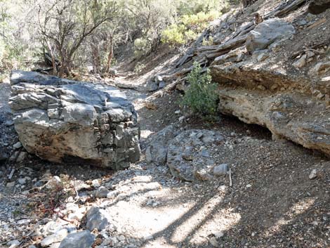
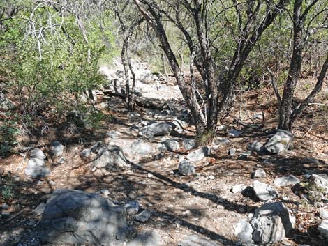
 Trees and boulders border the trail (view N) |
 Trees and boulders border the trail (view N) |
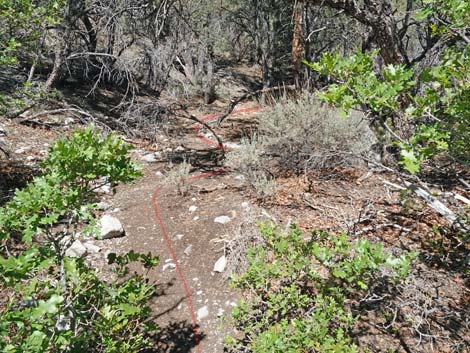
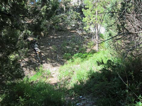
 Sometimes the trail is hard to see, just keep going (view N) |
 Sometimes the trail is hard to see, just keep going (view N) |
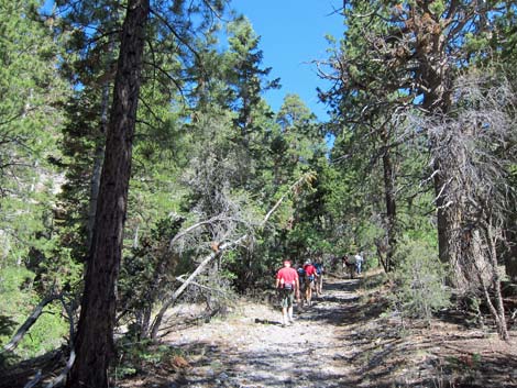
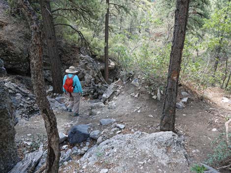
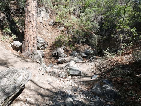 All trails lead up the canyon bottom (view N) |
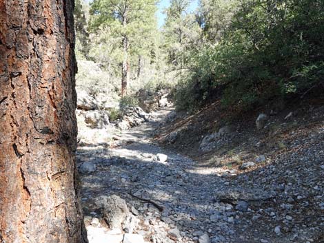
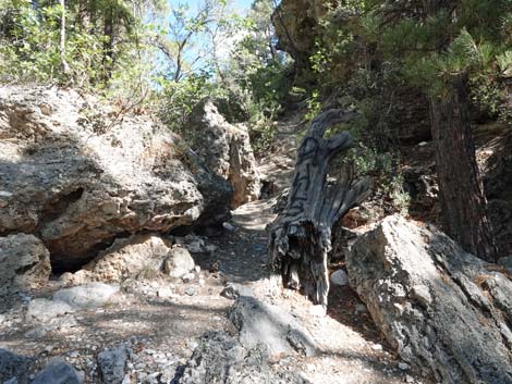
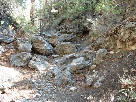 The canyon-bottom trail climbs through the cliffs (view N) |
 The canyon-bottom trail climbs through the cliffs (view N) |
 Trail climbing above the cliffs (view N) |
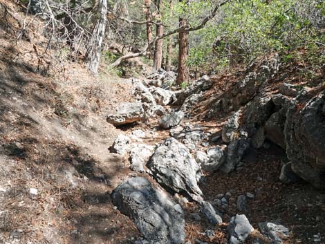
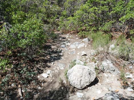
 Still plenty of boulders (view N) |
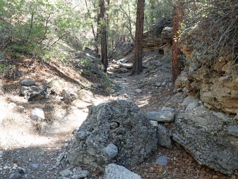
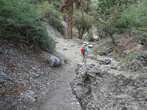
 Above the cliffs, the canyon bottom widens (view N) |
 The trail stays in the canyon bottom (view N) |
 Surprisingly, the trail suddenly turns left out of the canyon bottom |
 The trail winds through bushed and trees (view NW) |
 Approaching an old road (view NW) |
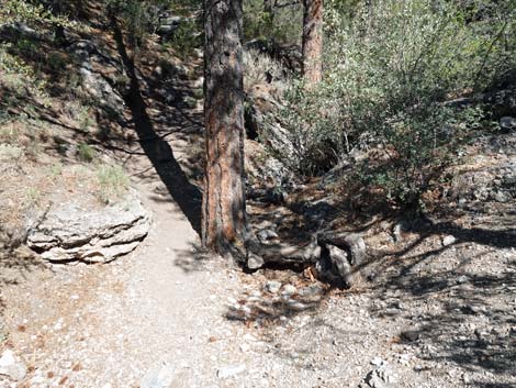
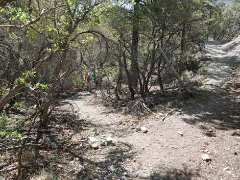
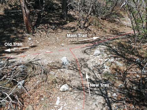 Stanley B Trail at an old road; stay right (view NW) |
 Merging onto the old road (view N) |
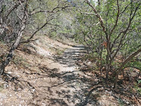
 The old road makes for easier hiking (view N) |
 The old road crosses the canyon bottom (view NE) |
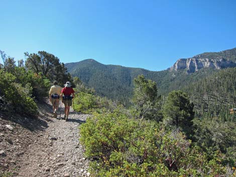 Hikers with grand view of Harris Mtn and Echo Cliffs |
 Grand view of Mummy Mountain |
 Flat area suitable for camping |
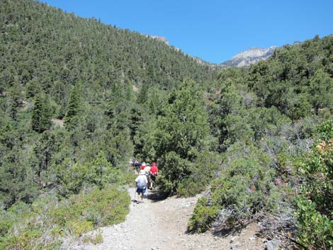
 Hikers in the woods |
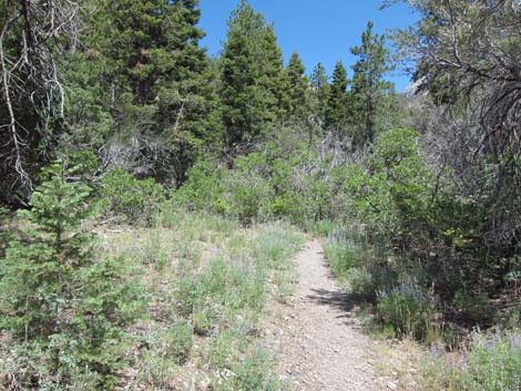 Even in a dry year, a field of purple lupine flowers |
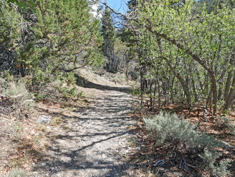
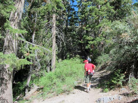
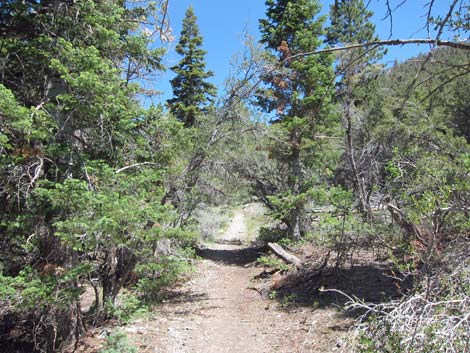 Trail runs through open woods (view N) |
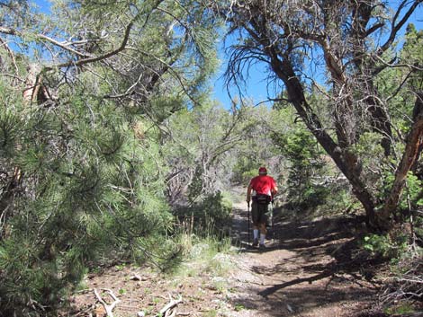 Hiker in the woods |
 Hikers in the woods |
 Hiker arriving at confluence |
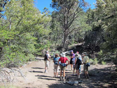
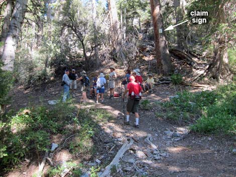 Hikers at the cool, shady confluence; this is a nice place to sit, relax, and listen to the birds (view NW) |
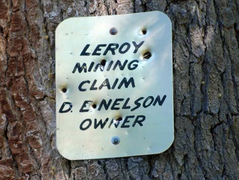 Mining claim sign high on ponderosa pine tree at the confluence. Leroy Mining Claim, D E Nelson, Owner |
 From the confluence, view right up east canyon (view NW) |
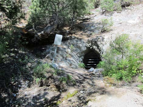 Lower mine with trickling water in east canyon [more photos] |
 From the confluence, view left up west canyon (view W) |
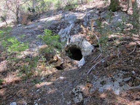 Another hole in the ground (hint: just watch birds) [more photos] |
Returning to the Trailhead
 Hiker approaching trail junction (view S) |
 Hiker at trail junction (view S) |
 Hiker descending into canyon towards trailhead (view SE) |
 Hiker descending the canyon (view SE) |
 Hiker descending the canyon (view SE) |
 Hiker descending steep canyon (view SE) |
 Hiker approaching the trailhead (view SE) |
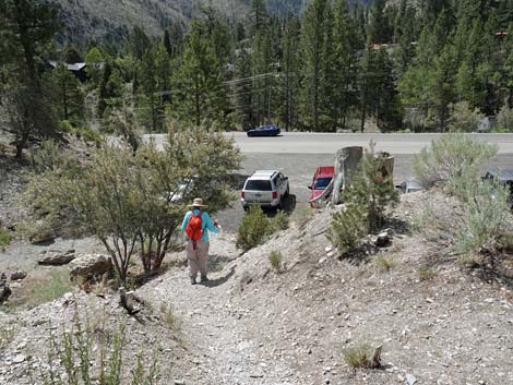 Hiker arriving at the trailhead (view SE) |
Table 1. Hiking Coordinates Based on GPS Data (NAD27; UTM Zone 11S). Download Hiking GPS Waypoints (*.gpx) file.
| Wpt. | Location | UTM Easting | UTM Northing | Elevation (ft) | Point-to-Point Distance (mi) | Cumulative Distance (mi) | Verified |
|---|---|---|---|---|---|---|---|
| 01 | Trailhead | 622926 | 4013462 | 7,019 | 0.00 | 0.00 | GPS |
| 02 | Join Old Road | 622794 | 4013786 | 7,283 | 0.08 | 0.08 | GPS |
| 03 | Camp Area | 622864 | 4013969 | 7,519 | 0.65 | 0.73 | GPS |
| 04 | Use-trail Junction | 622783 | 4014069 | 7,540 | 0.08 | 0.81 | GPS |
| 05 | Confluence | 622554 | 4014558 | 7,792 | 0.36 | 1.17 | GPS |
| . | . | . | . | . | . | . | . |
| 06 | Wet Grated Mine | 622527 | 4014645 | 7,885 | 0.07 | 0.07 | GPS |
| 07 | Dry Grated Mine | 622506 | 4014689 | 7,947 | 0.04 | 0.11 | GPS |
| . | . | . | . | . | . | . | . |
| 08 | Campsite | 622423 | 4014577 | 7,944 | 0.10 | 0.10 | GPS |
Happy Hiking! All distances, elevations, and other facts are approximate.
![]() ; Last updated 240329
; Last updated 240329
| Hiking Around Mt Charleston | Hiking Around Las Vegas | Glossary | Copyright, Conditions, Disclaimer | Home |